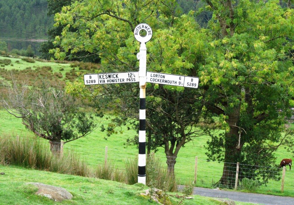
Buttermere, Crummock Water, Scale Beck, Red Pike 755m, High Stile 806m, High Crag 744m, Scarth Gap Pass, Buttermere - 24th September 2013 - leader David Goodchild
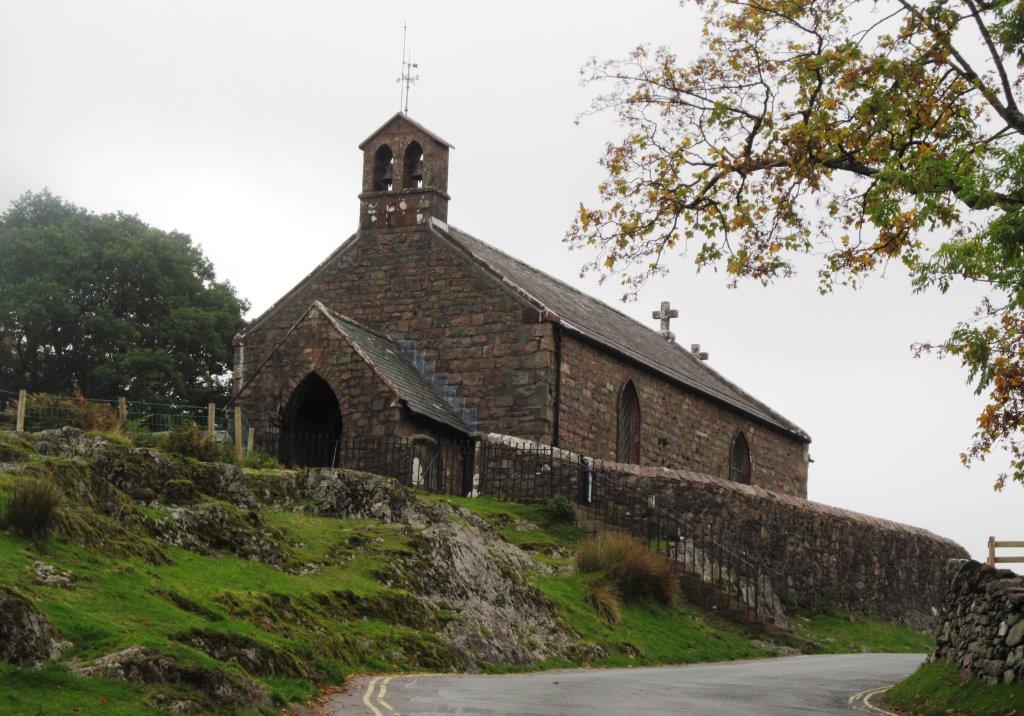 |
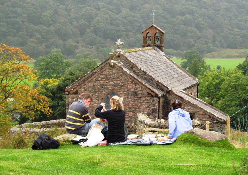
| Wainwright's window in St Mary's church looks out to Haystacks |
 |
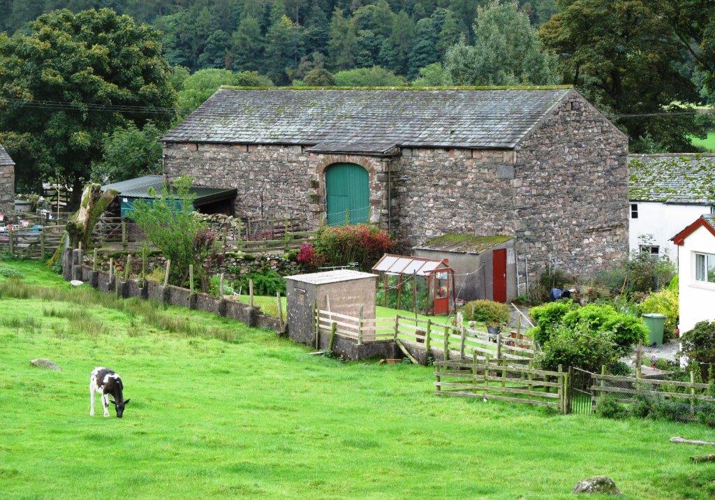 |
| two level barn |
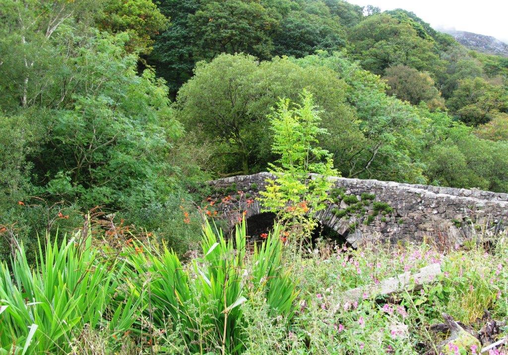 |
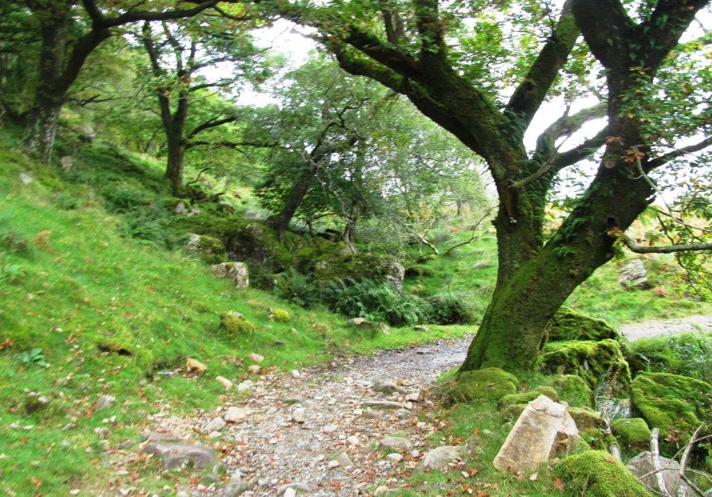
| bridge over beck between Buttermere & Crummock Water |
 |
 |
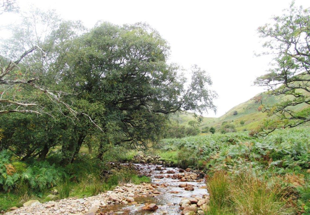
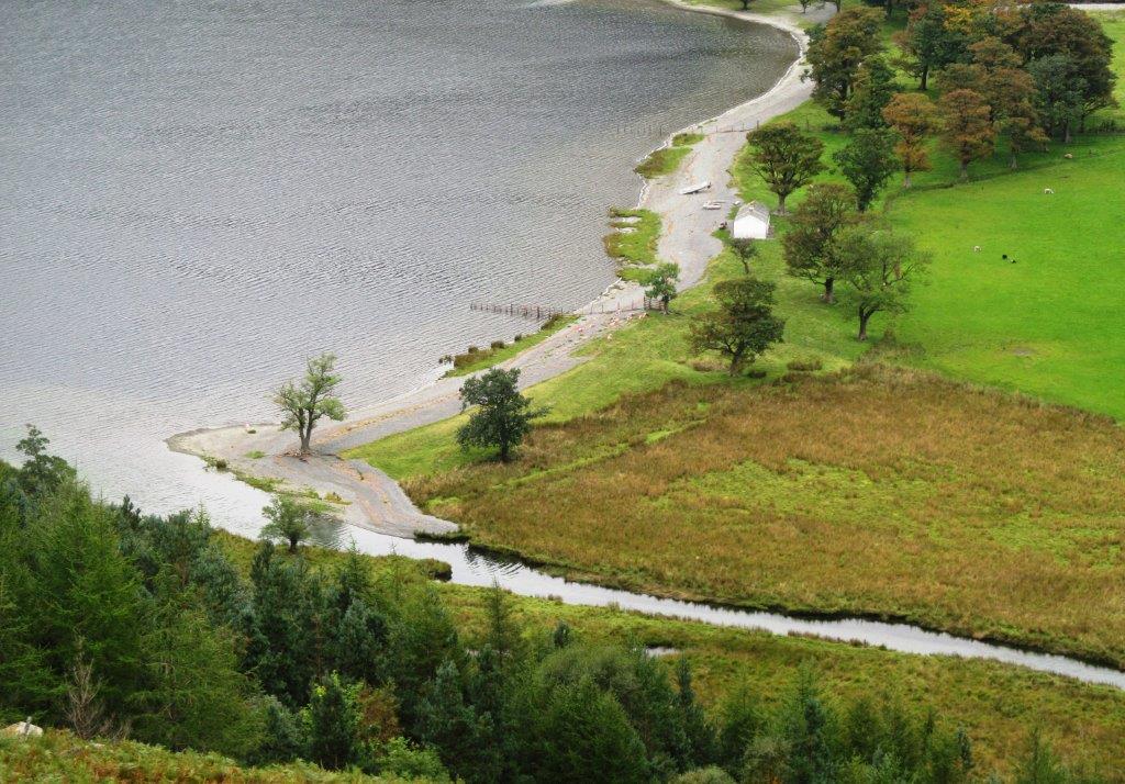
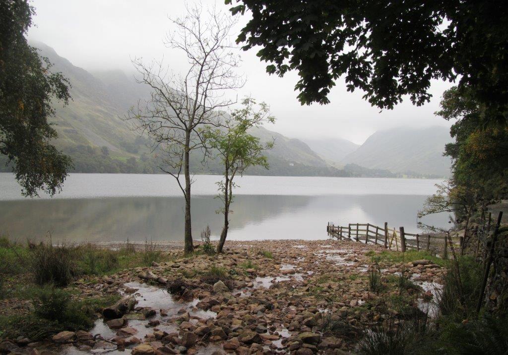
| stream linking Buttermere & Crummock water |
 |
 |
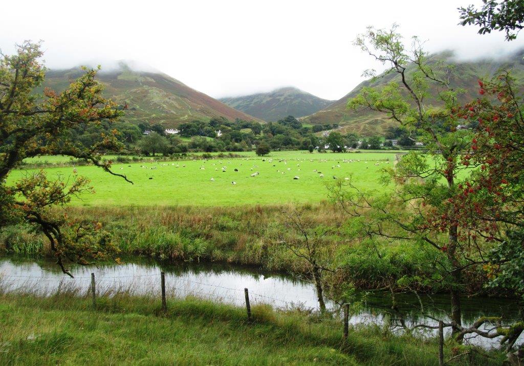
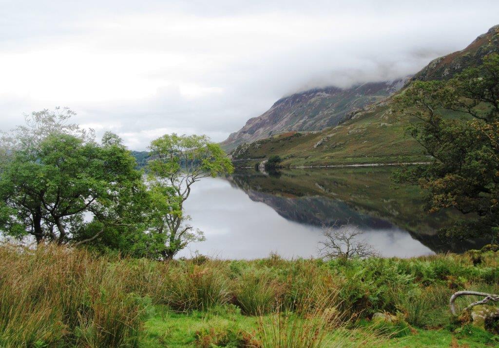
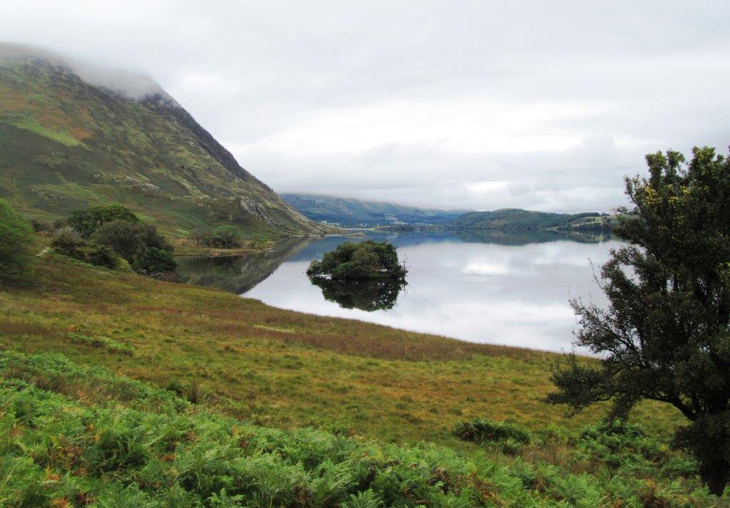
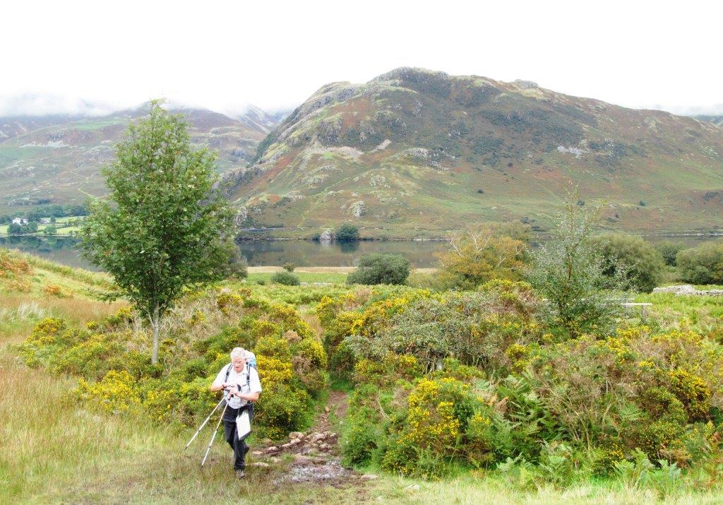
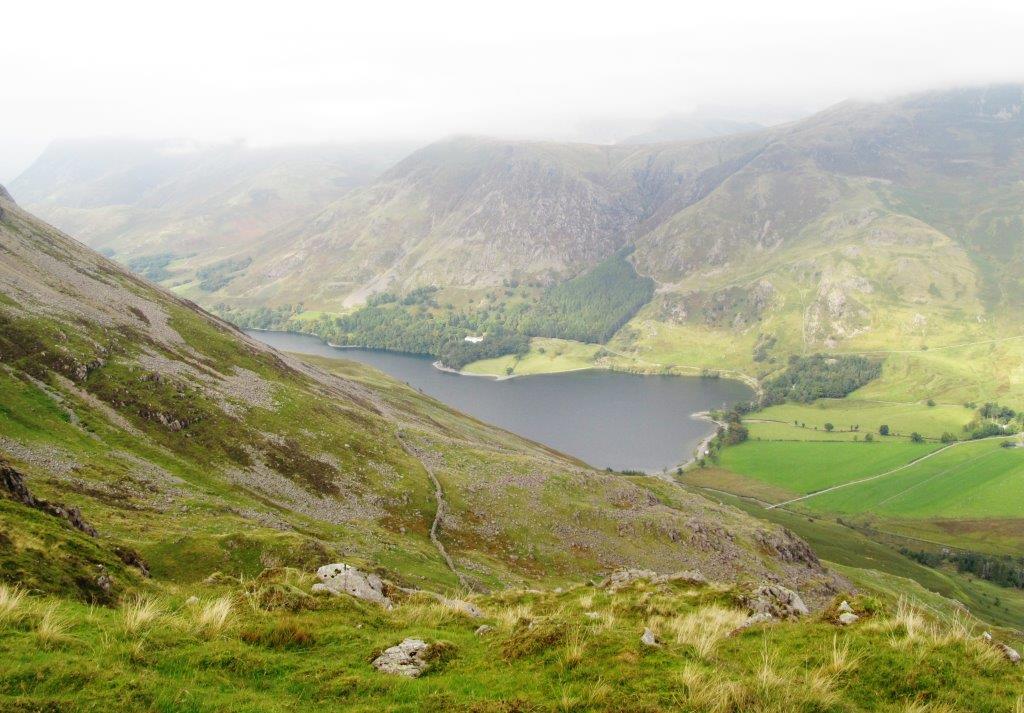
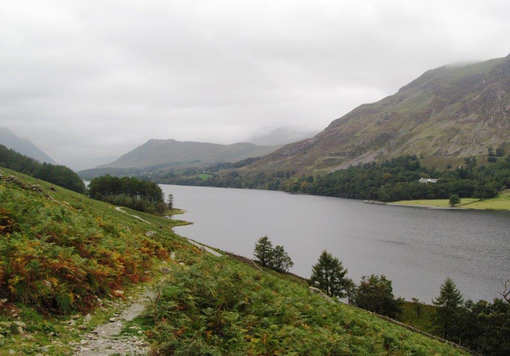
| Crummock Water |
 |
 |
 |
 |
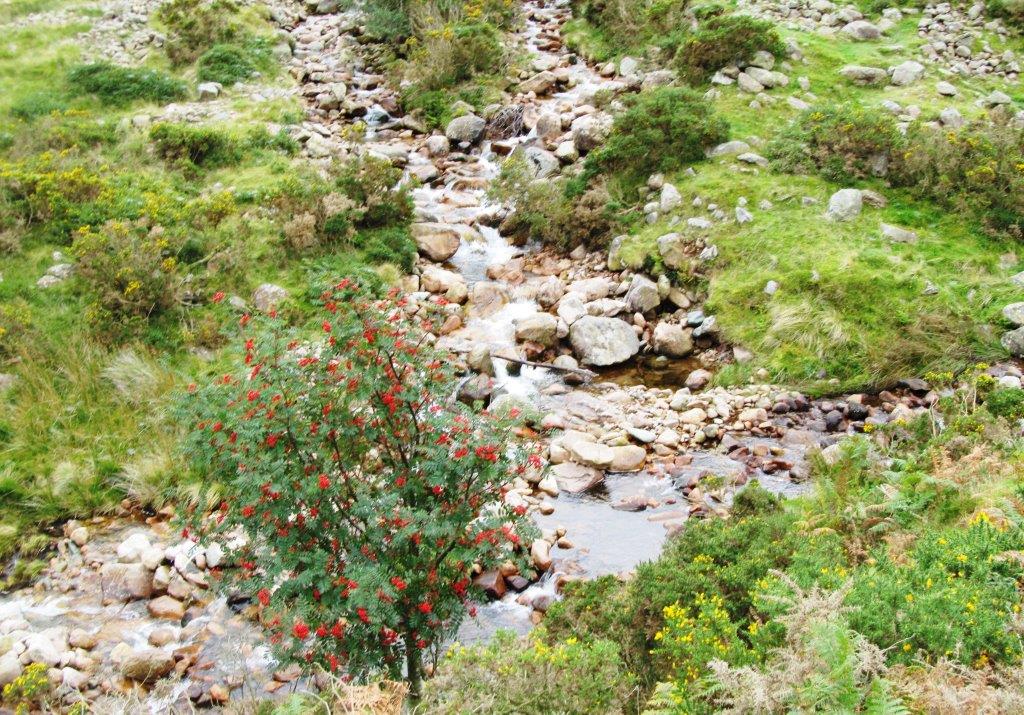
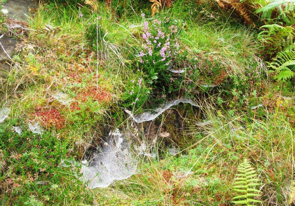
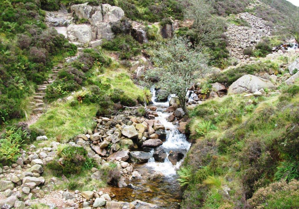
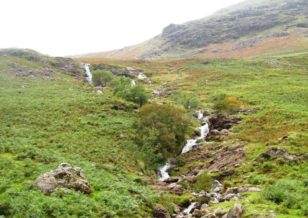
| Scale Beck |
 |
 |
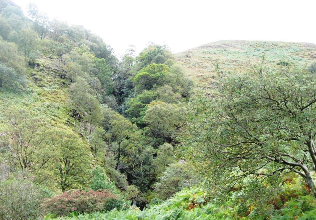 |
| Scale Force hidden by bushes & trees |
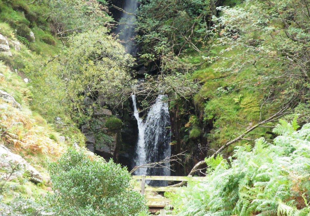 |
| Scale Force (bottom end) |
 |
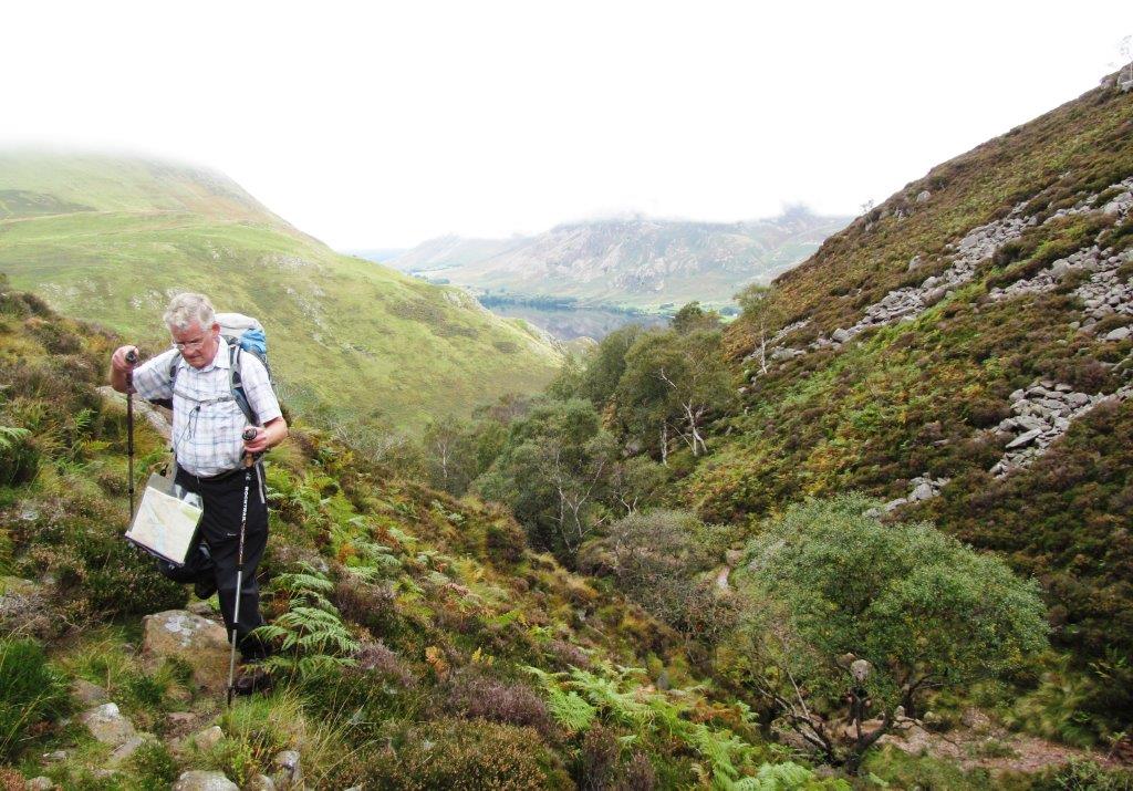 |
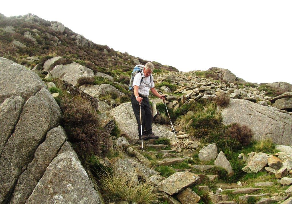
| up the west side Scale Force on 'right of way' footpath which fades out - on east side there is a better path in open access land |
 |
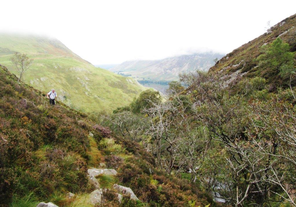
| the better footpath on east side of Force |
 |
| looking down Scale Force 'footpath' |
 |
 |
| above Scale Force |
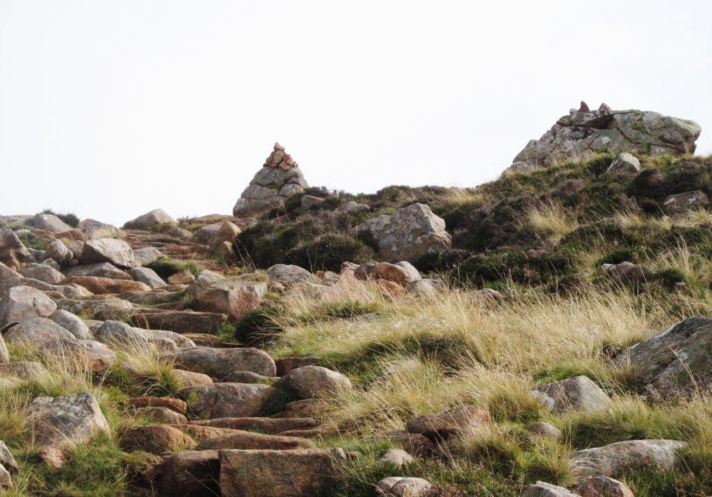 |
| path marker - on existing path (which is not a public footpath) - checked by GPS |
 |
 |
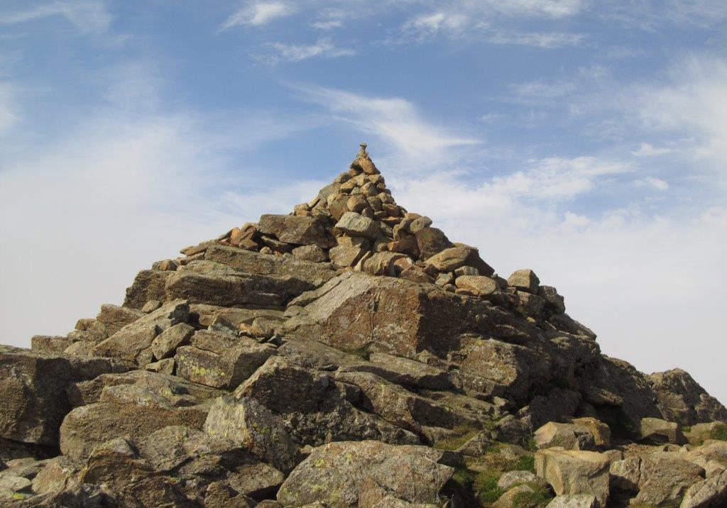
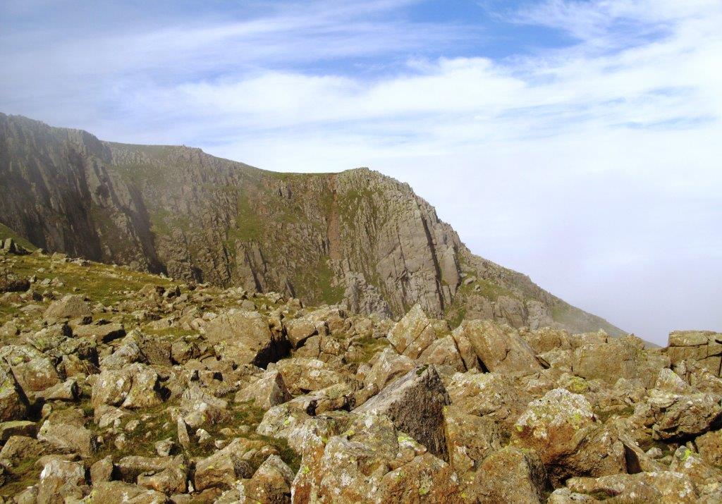
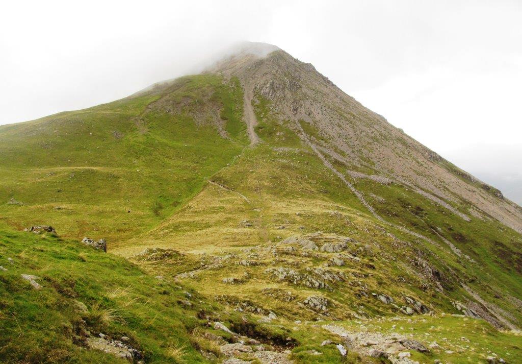
| Red Pike |
 |
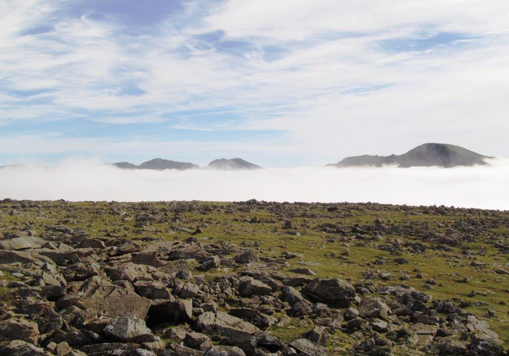 |
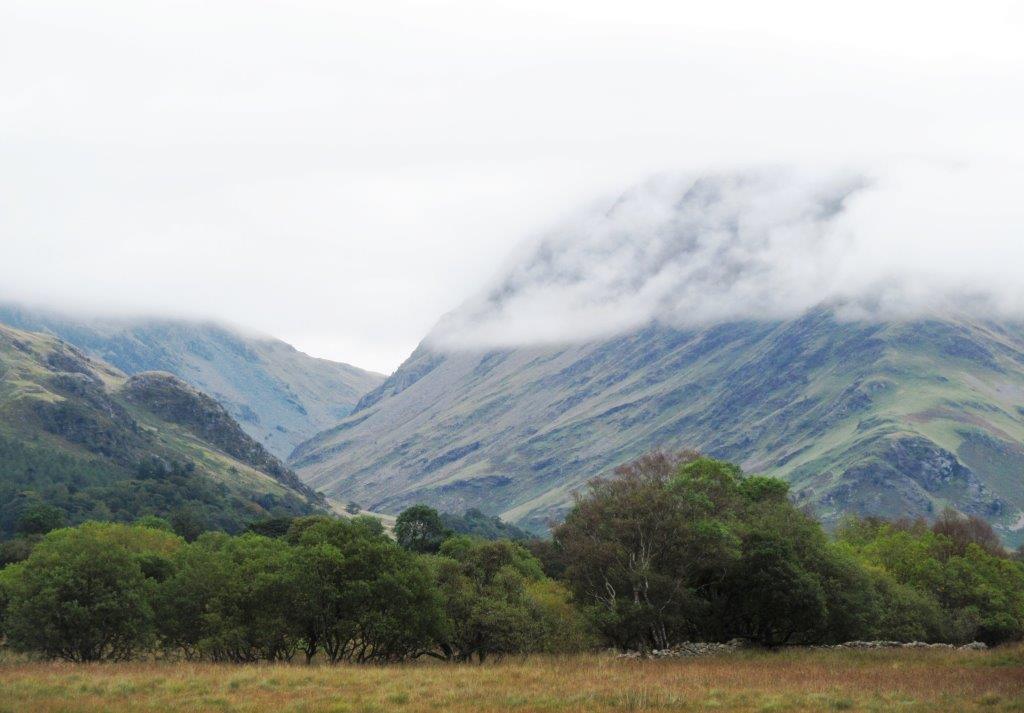
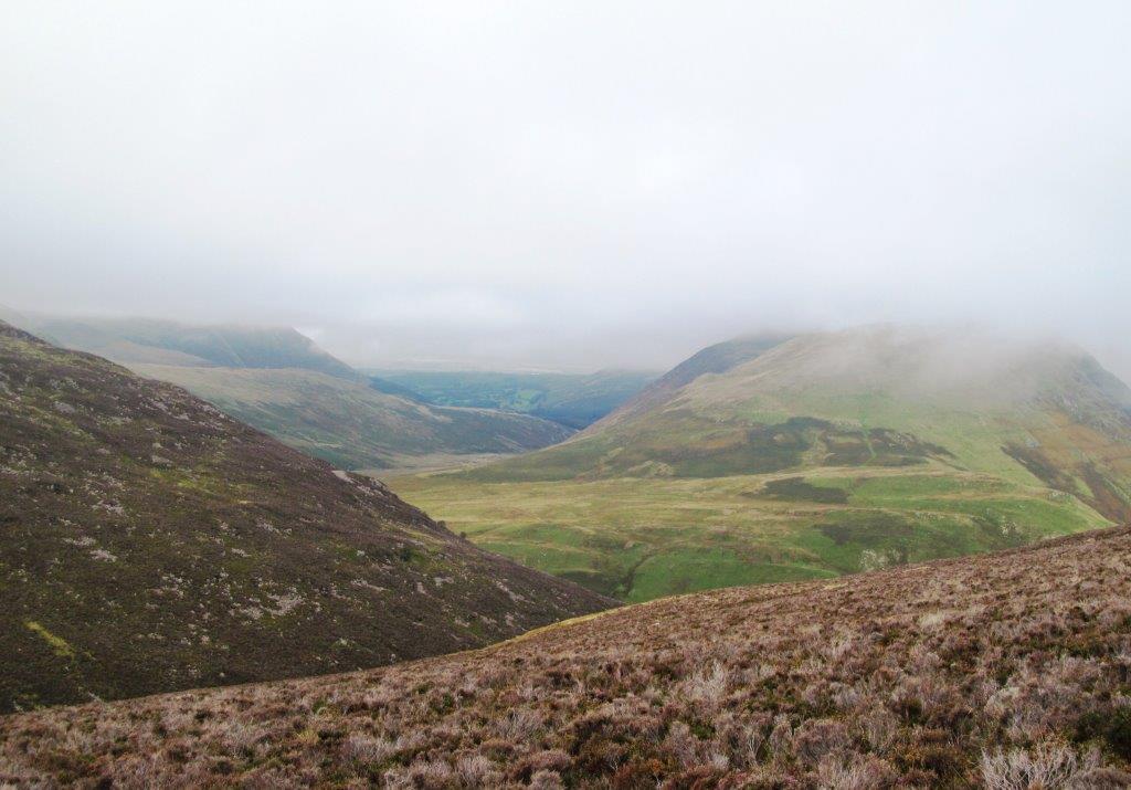
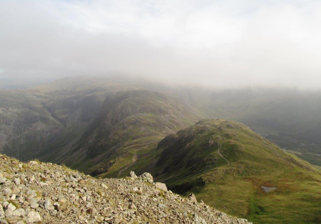
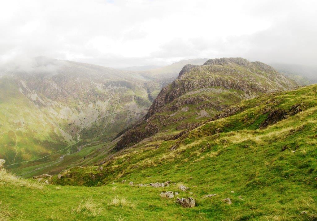
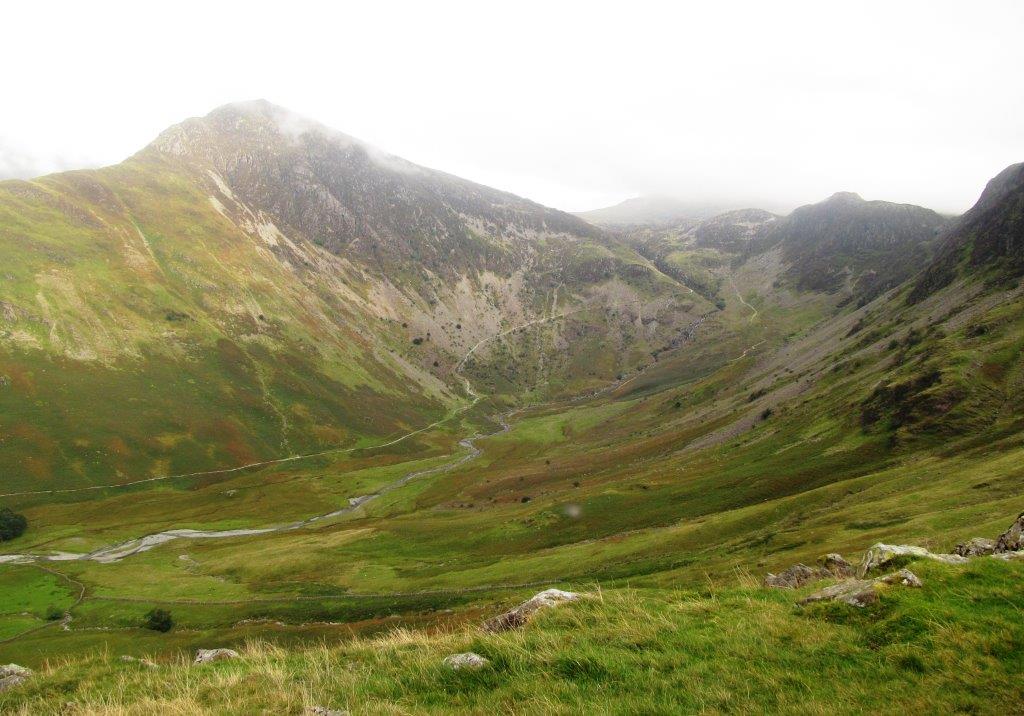
| looking south - peaks showing above cloud in River Liza valley |
k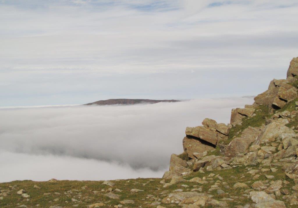 |
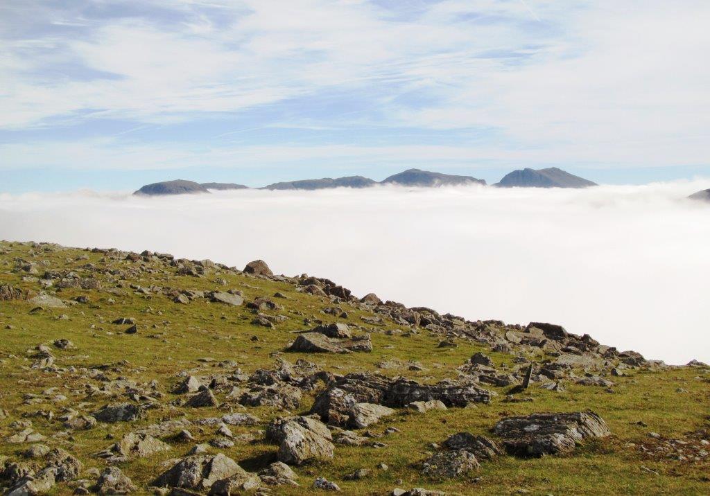
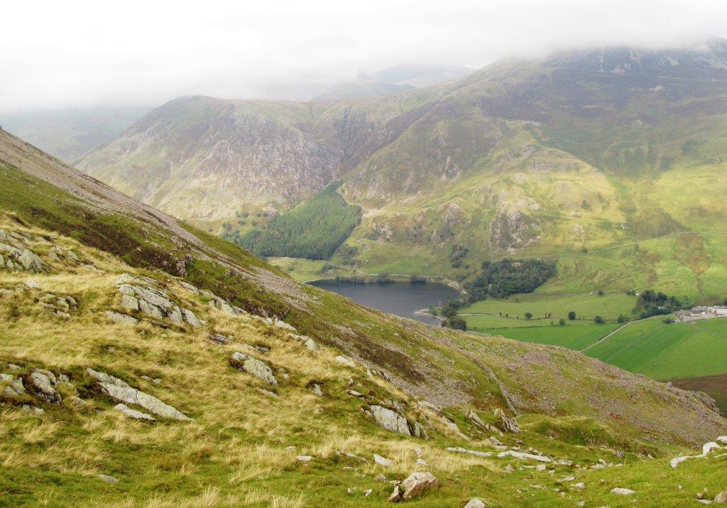
| looking north east? peak above Crummock Water / Buttermere |
 |
 |
 |
 |
 |
 |
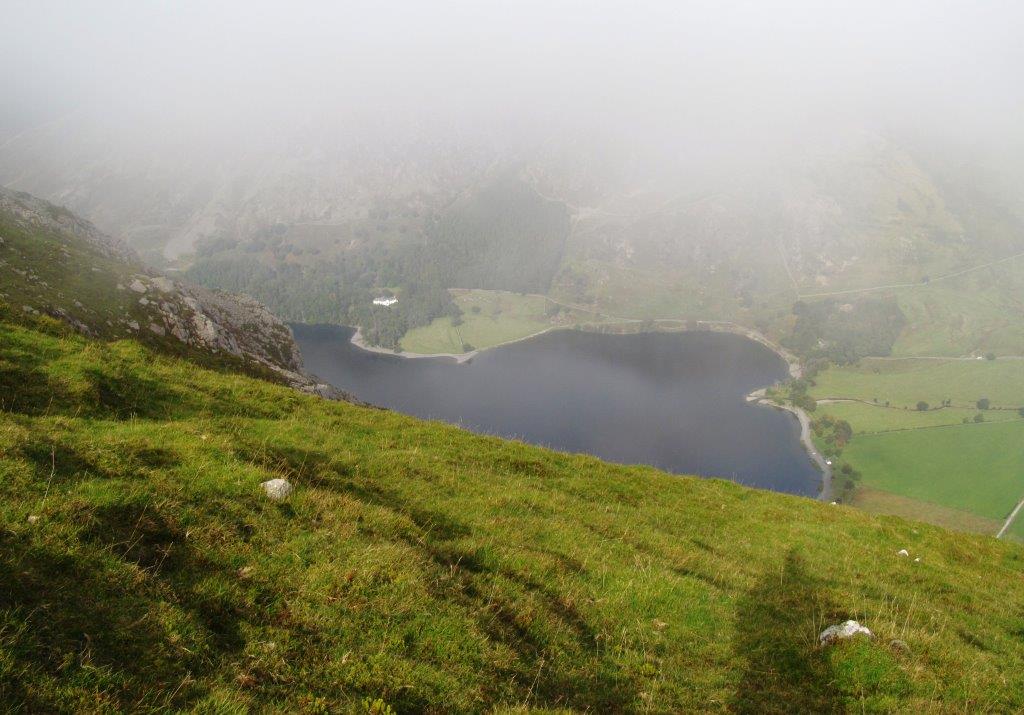 |
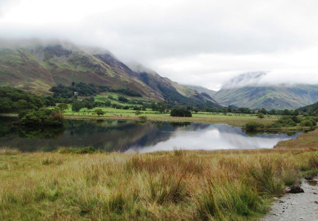
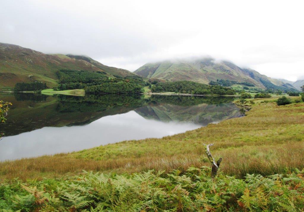
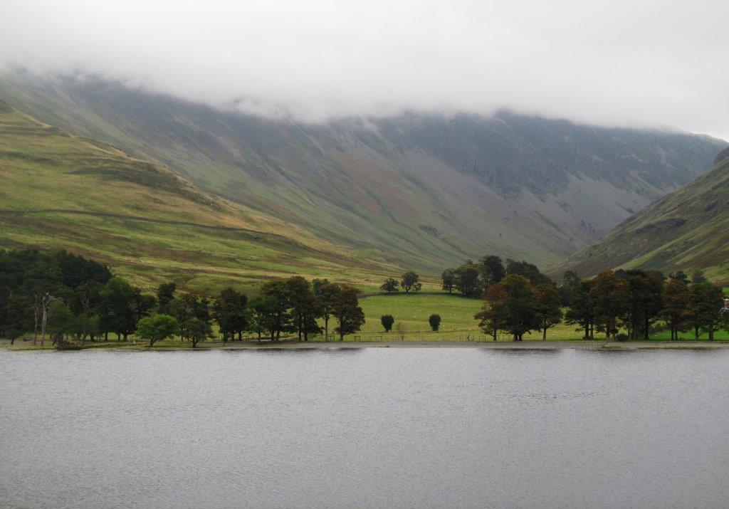
| Buttermere |
 |
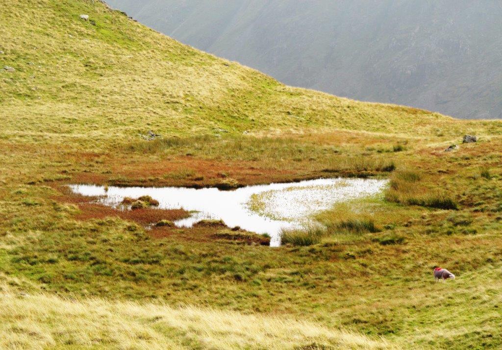
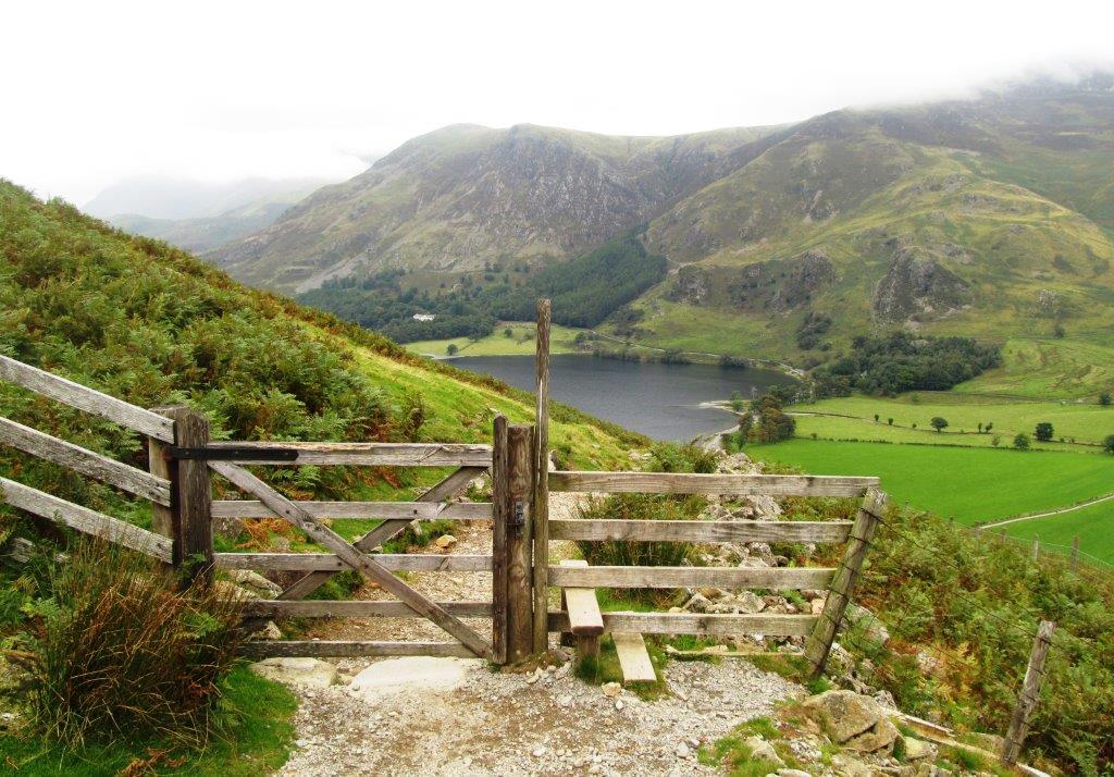
| Scarth Gap between Haystacks & small hill in front beyond pond |
 |
 |
 |
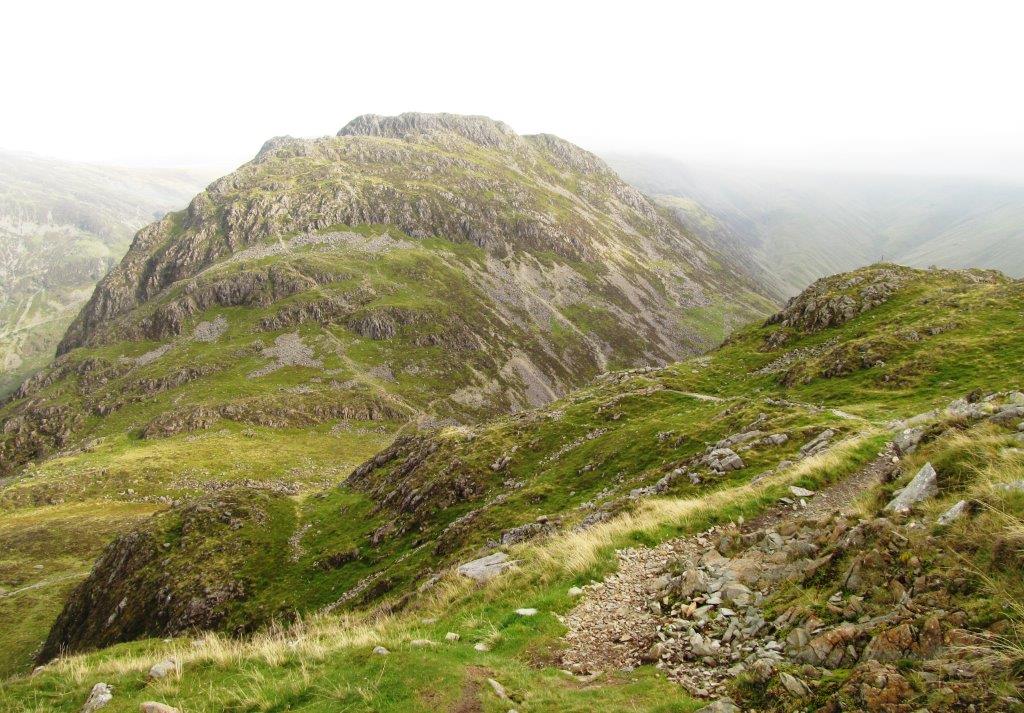
| looking back at High Crag (fairly steep descent (ascent) - path jus visible to left & centre) |
 |
| Haystacks to right |
 |
 |
| Haystacks |
 |
 |
 |
| another route up Haystacks to left |
 |
 |
 |
| Buttermere |
 |
 |
| Comb Beck |
 |
 |
 |
 |
 |
walks index - home page - contact me at![]()