walks index - homepage - contact me -
Walks near Grasmere in the Lakes
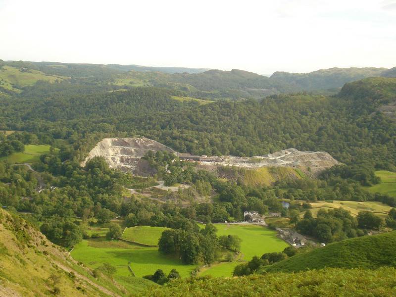
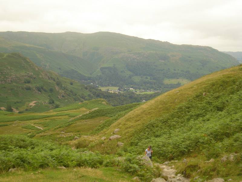
Round walk from Grasmere to Alcock Tarn (height about 370m) -
afternoon of 19th July 2008.
 |
 |
|
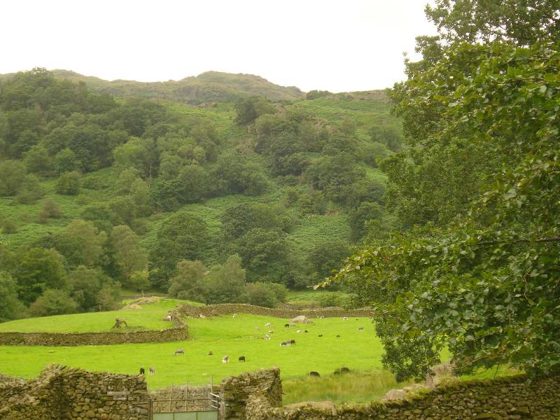
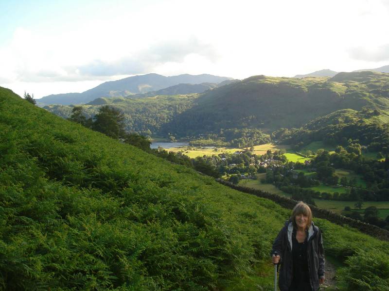
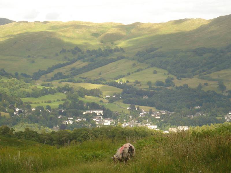
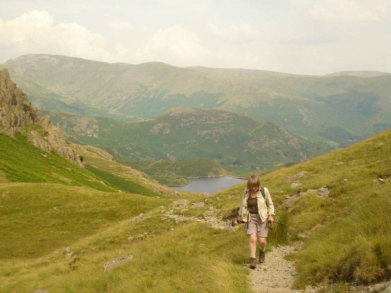
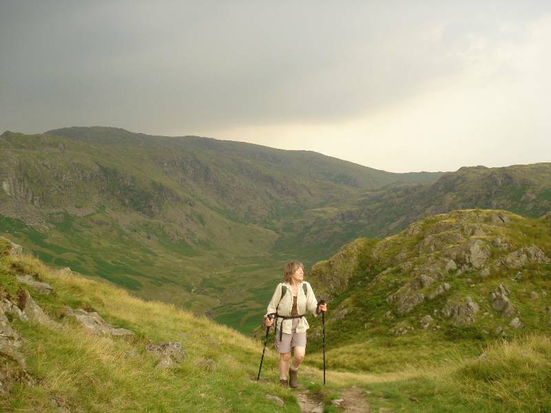
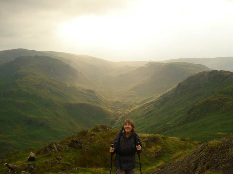
Ascending from Grasmere below, with Silver Howe
behind |
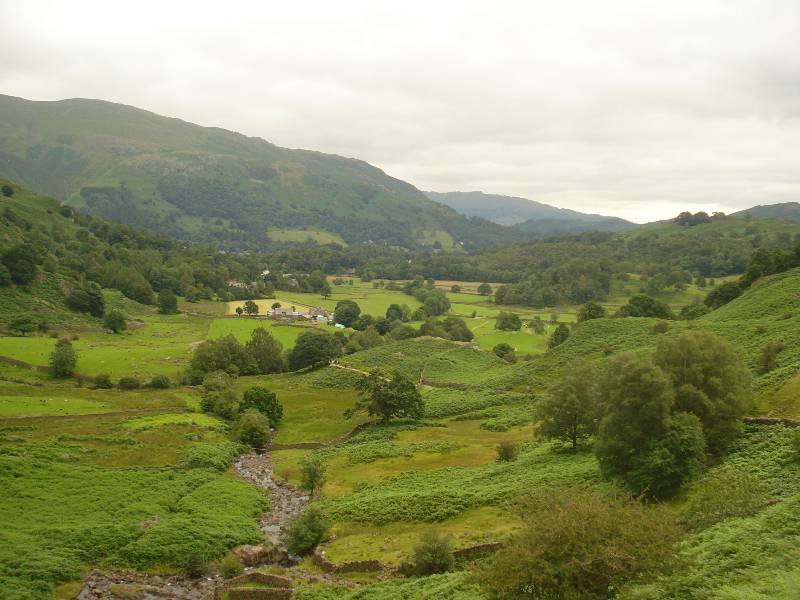
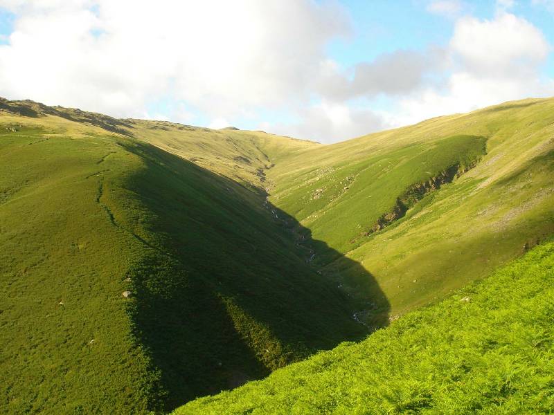
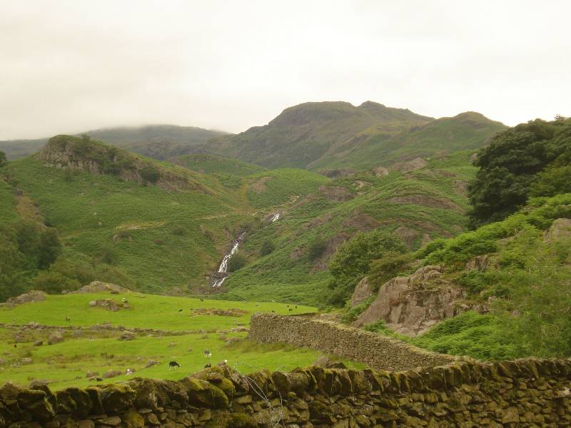
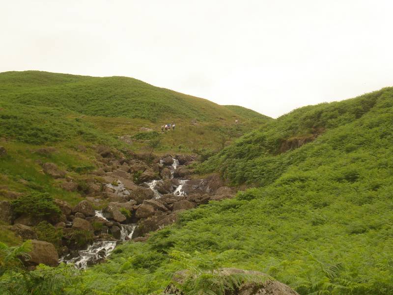
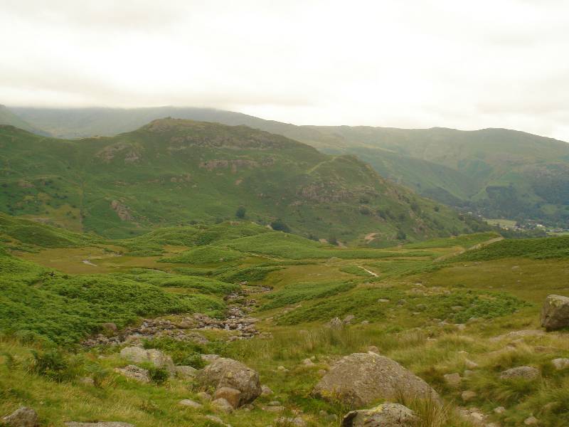
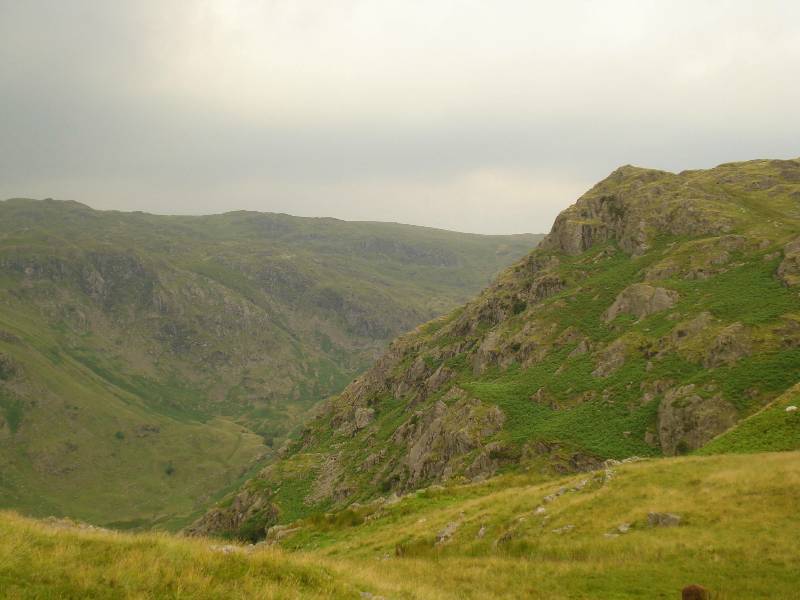
Greenhead Gill, north of Alcock Tarn and east of
Stone Arthur |
 |
 |
|
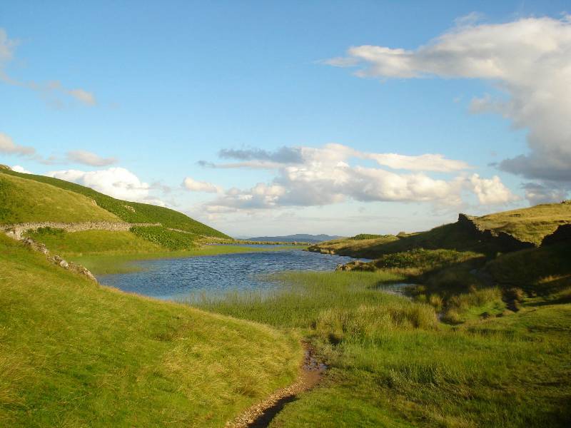
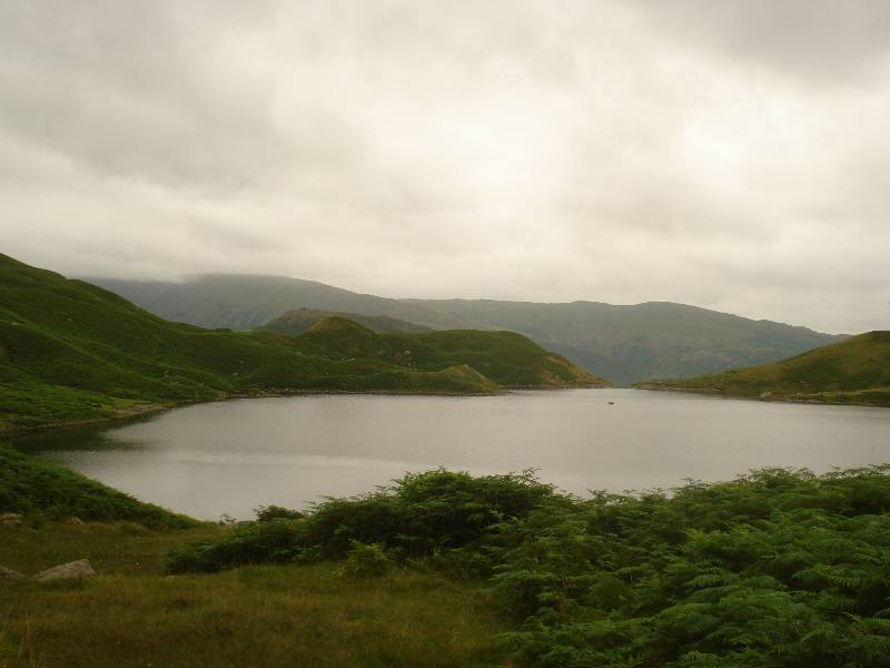
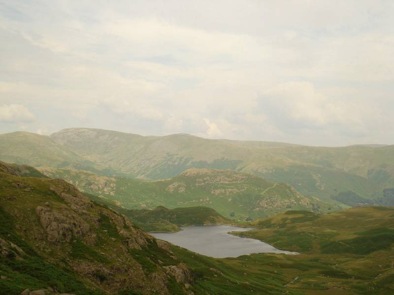
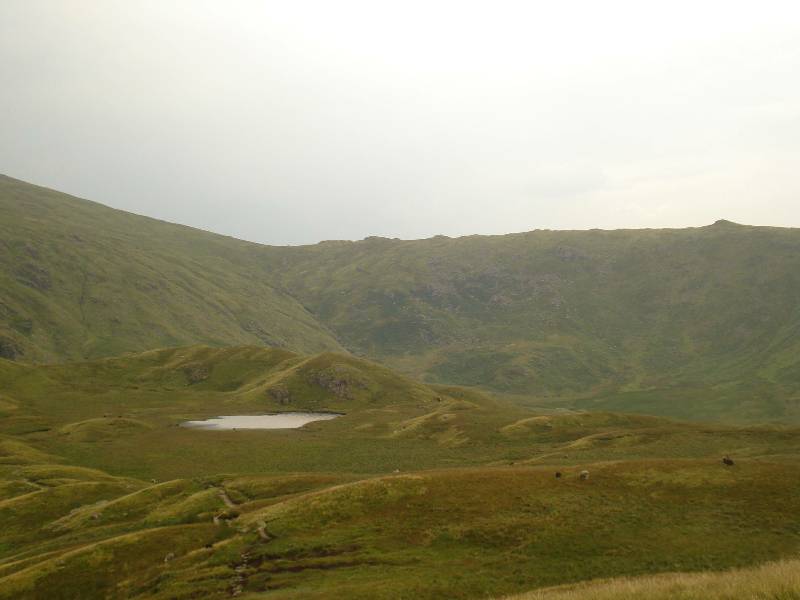
Approaching Alcock Tarn from the north |
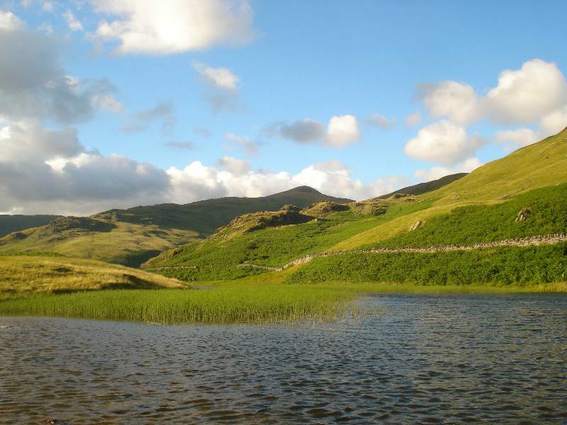
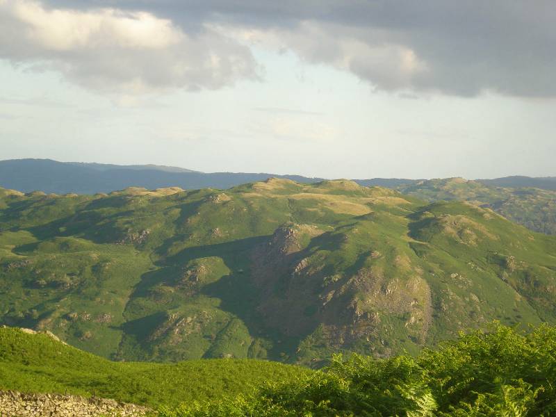
Looking at Tarn from south - Stone Arthur / Great Rigg ridge behind |
 |
 |
|
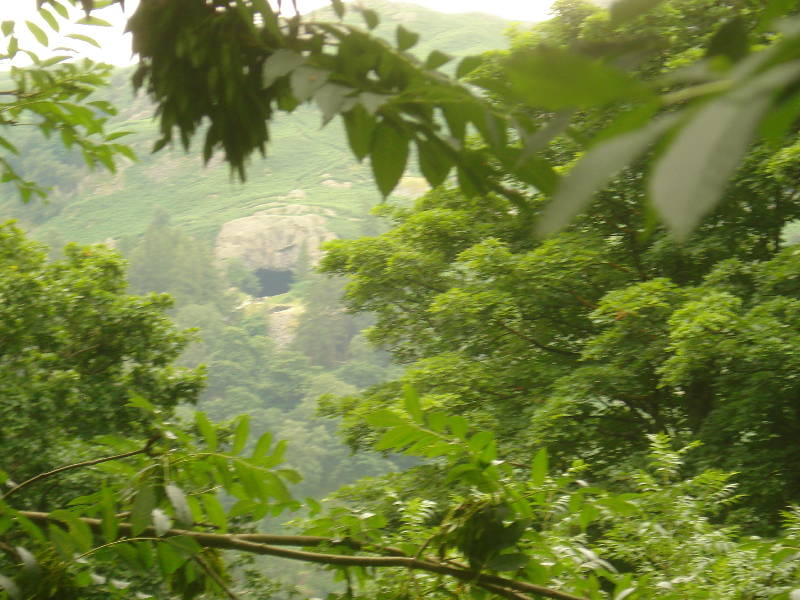
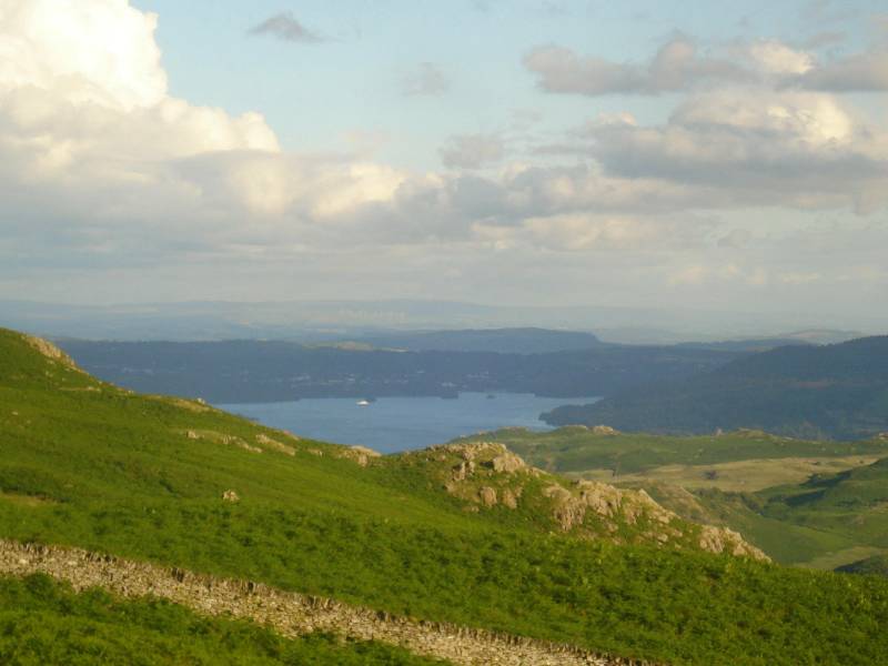
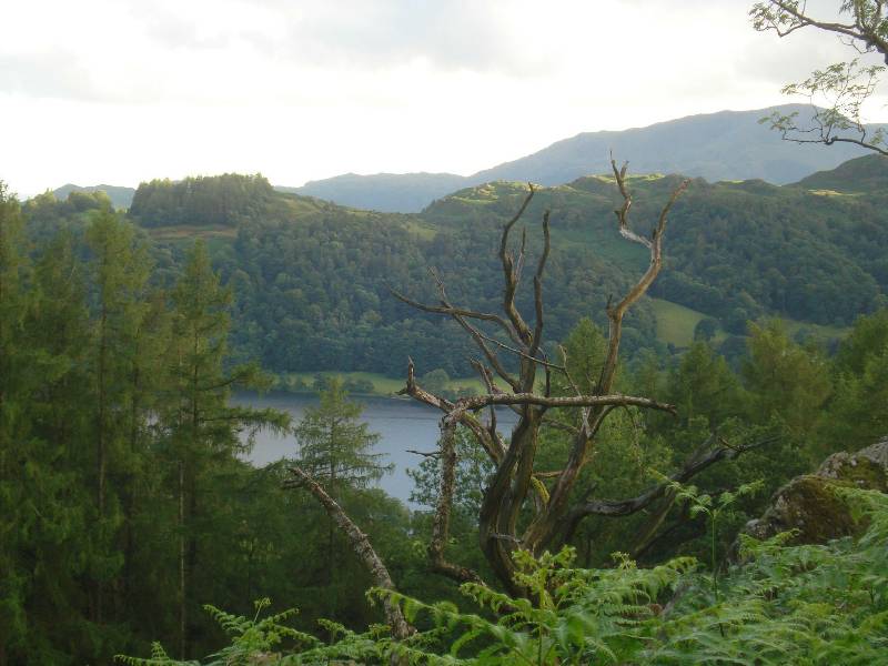
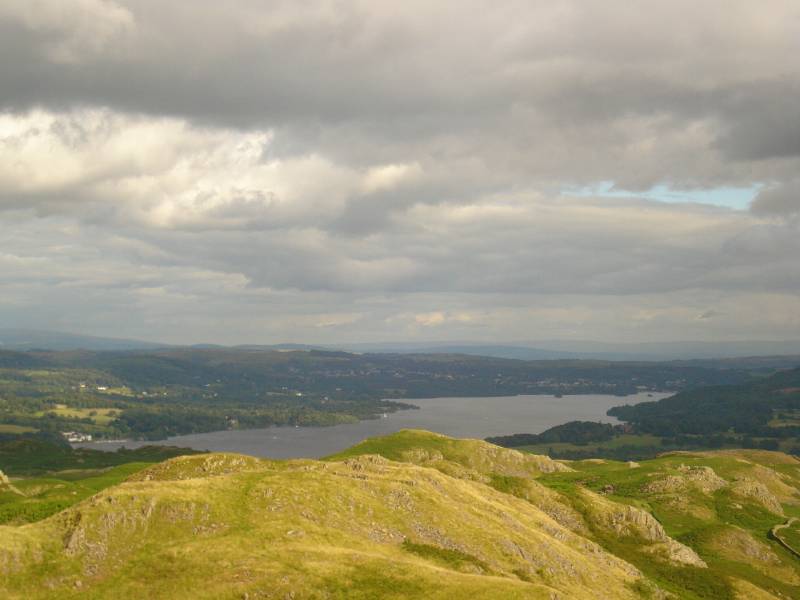
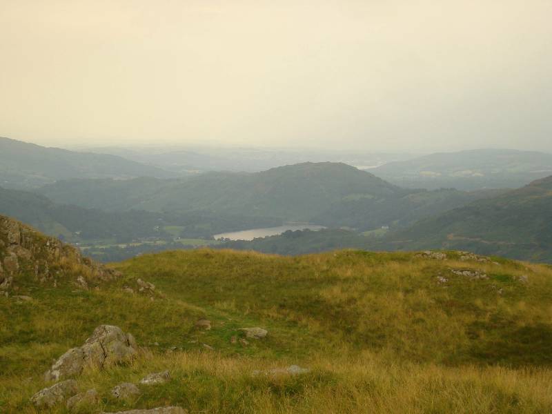
Windermere SE in the
distance (seen above Lanty Scar) with white ferry boat |
Top of Loughrigg Fell? |
 |
 |
|
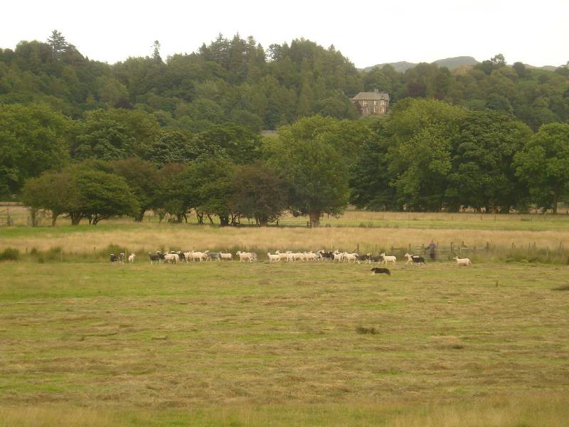
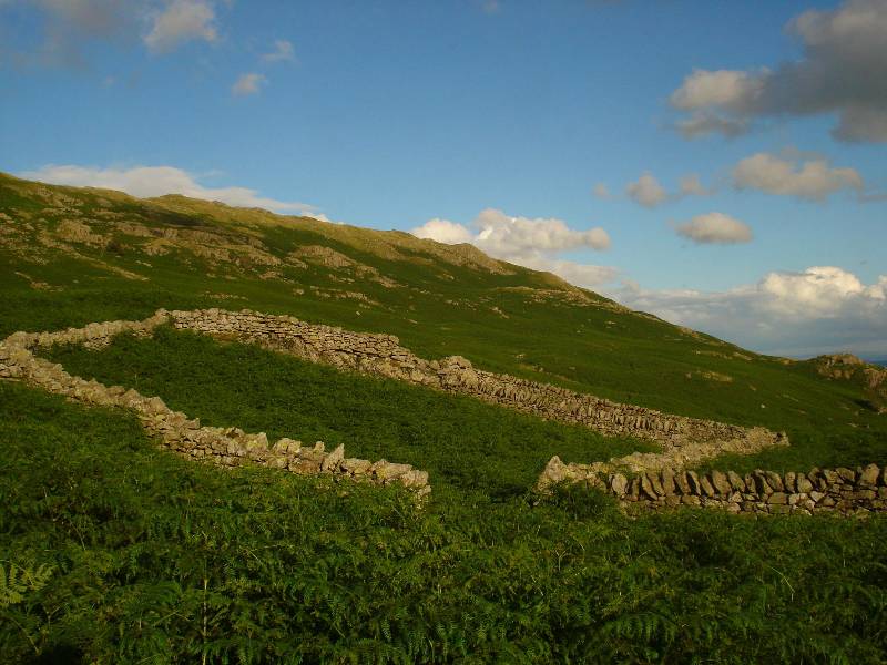
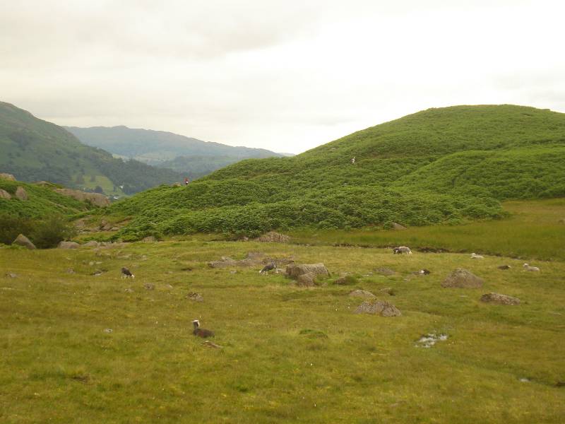
Sheep pen near tarn |
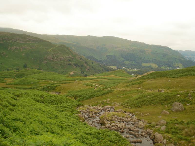
Descending towards Grasmere |
 |
 |
|
Descending in 'greenway' towards Grasmere |
Lower down toward Grasmere |
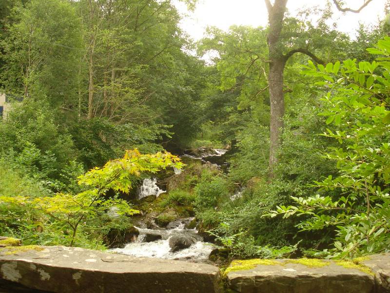
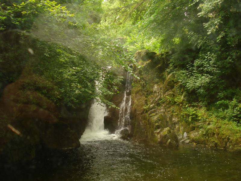
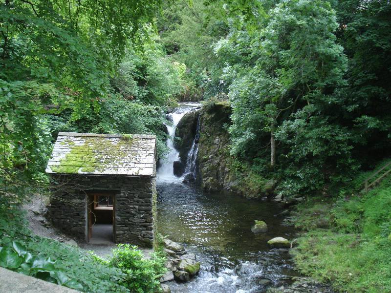
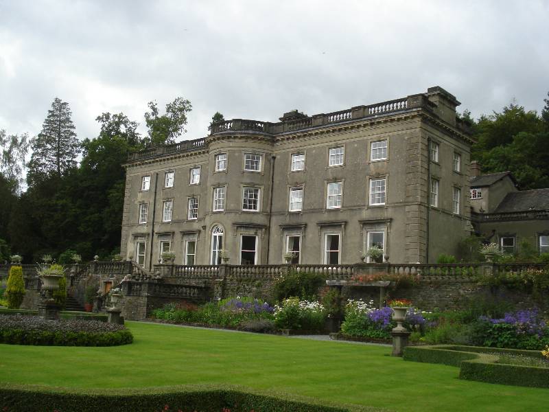
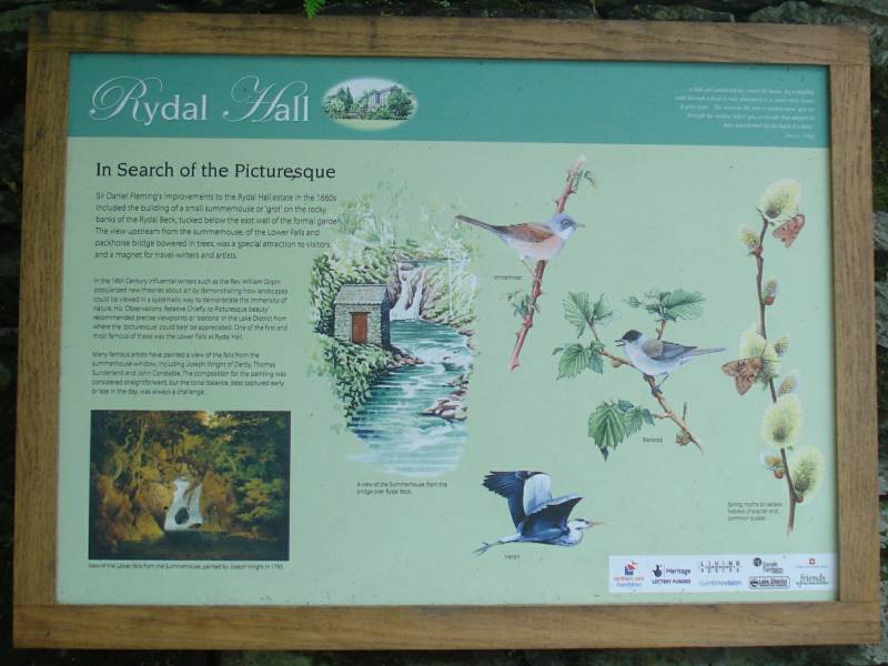
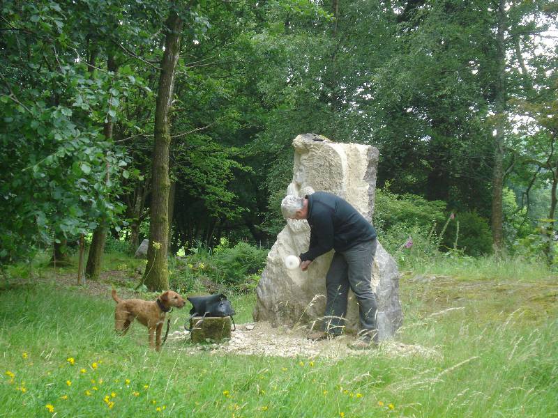
Walk from Grasmere via Rydal Hall to Ambleside
(parts walked several different times)
Walk from Grasmere to Easedale Tarn (height about 200m)
- morning 23rd July 2008 - took a fast 2.1/2 hours alone (anticlockwise route taken up to and around
tarn)
 |
 |
| |
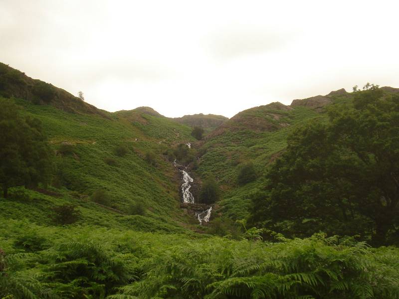
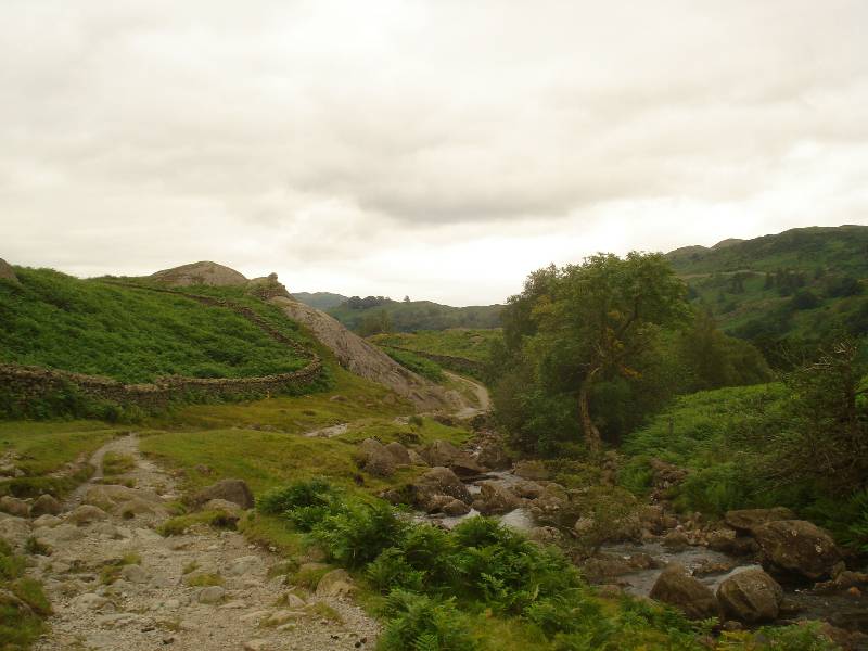
View of Sour Milk Gill with southern route to
Easedale Tarn behind |
 |
 |
| |
Looking down route walked up along Far
Easedale Gill (close to bridge) |
 |
 |
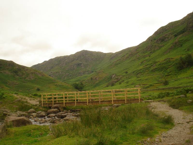
| Unsightly Bridge taken over Far Easedale Beck
at NY318093 approximately |
Party ahead going further up Far Easedale
Beck towards Greenup Edge? |
 |
 |
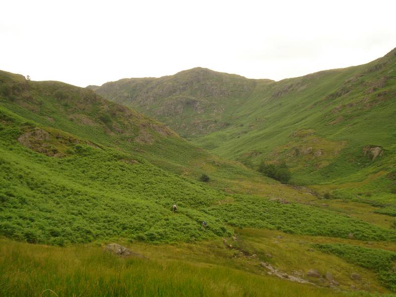
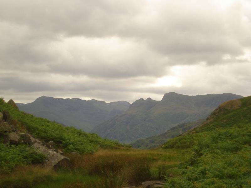
| Views seen following
approximately NNW from bridge |
 |
 |
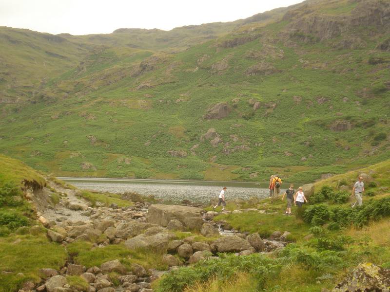
| Party ascending southern route, fairly close
to Tarn |
Looking down and across at southern route
|
 |
 |
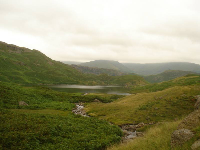
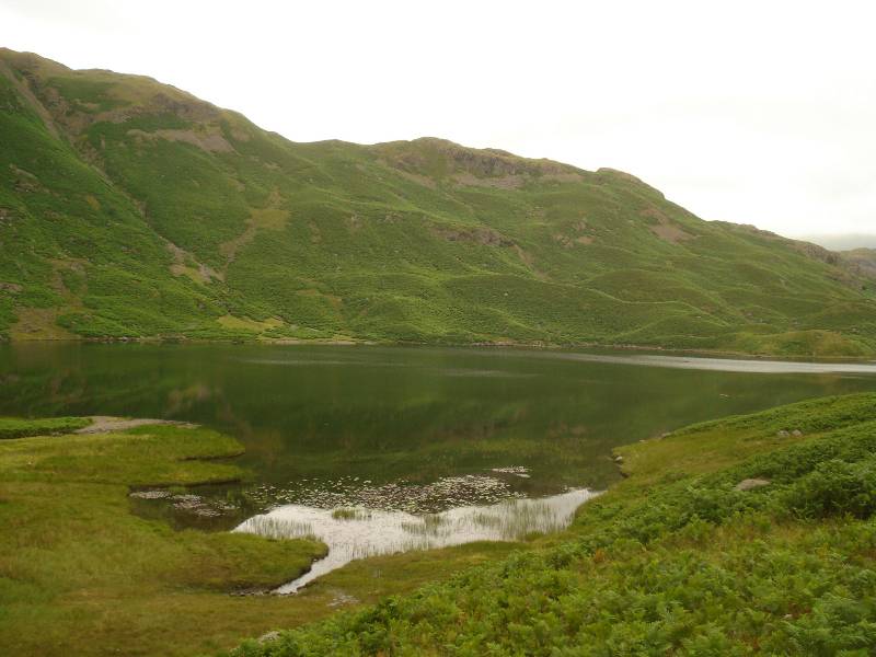
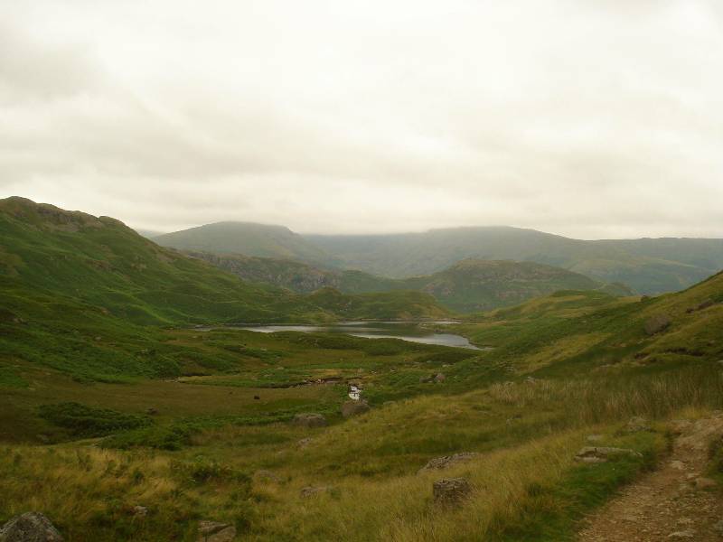
| First glimpse of Easedale Tarn |
Looking east across Tarn at low point (also seen in
previous picture) |
 |
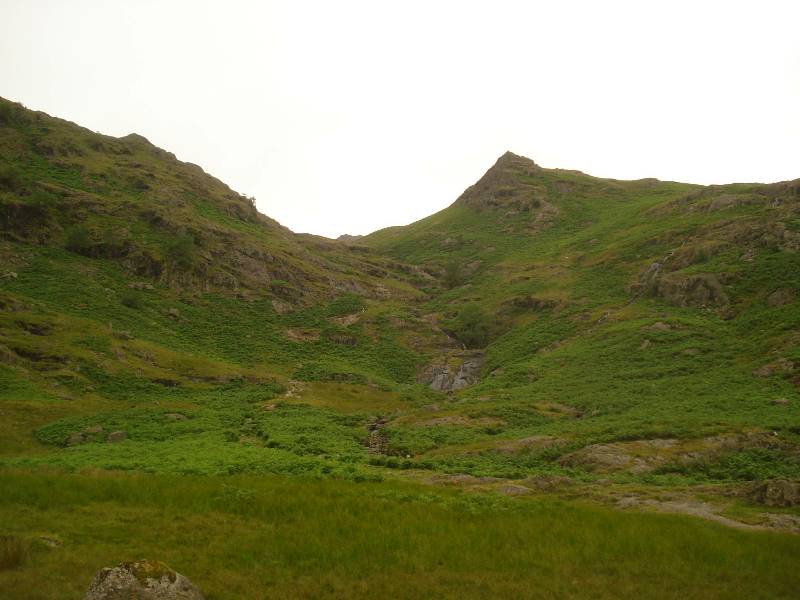 |
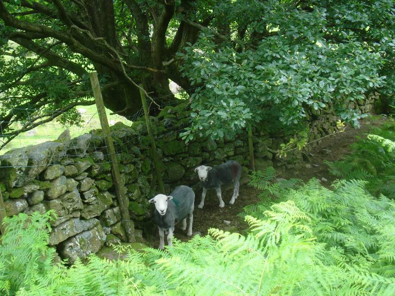
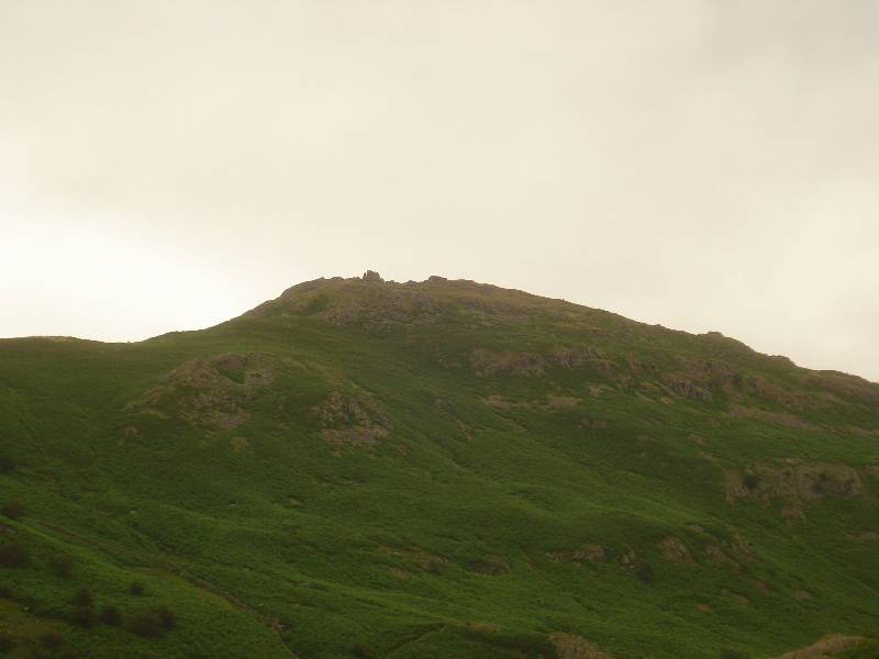
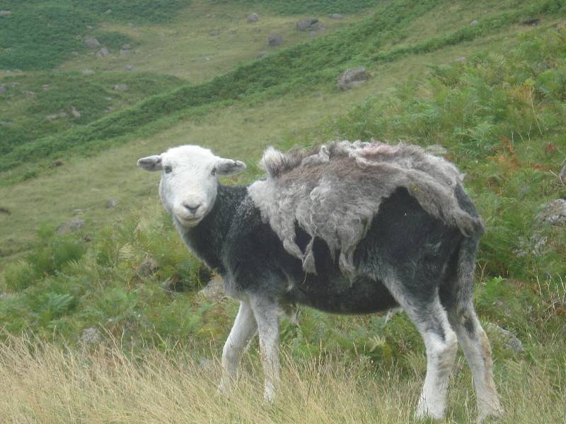
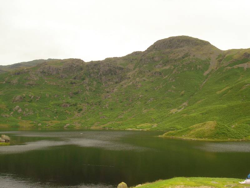
| In need of a shearing? |
Belles Knot spire to right |
 |
 |
| Seat Sandal capped by cloud? |
|
 |
 |
| |
Tarn Crag reflected in lake |
 |
 |
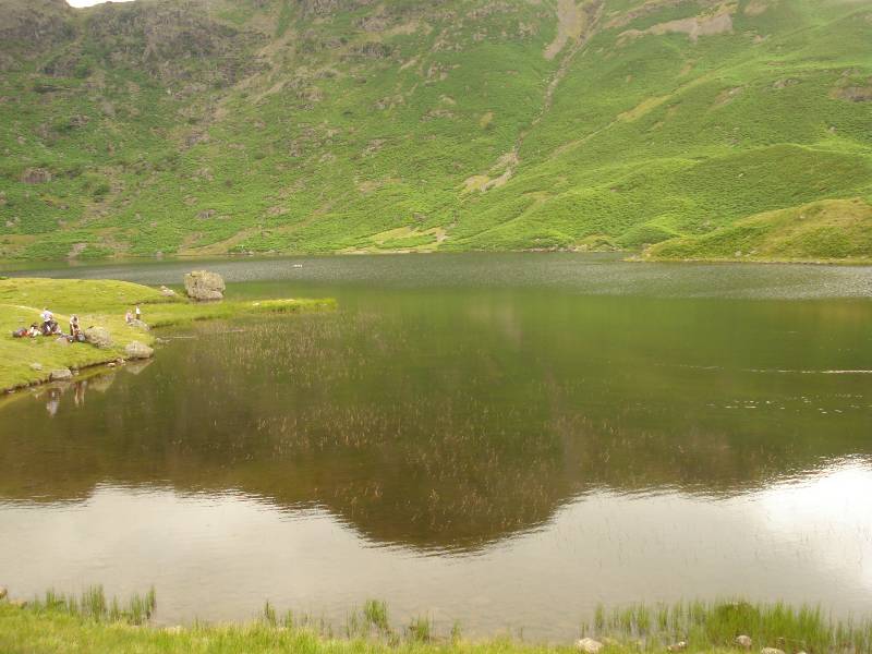
| Tarn Crag |
Southern route taken down by me - someone coming up |
 |
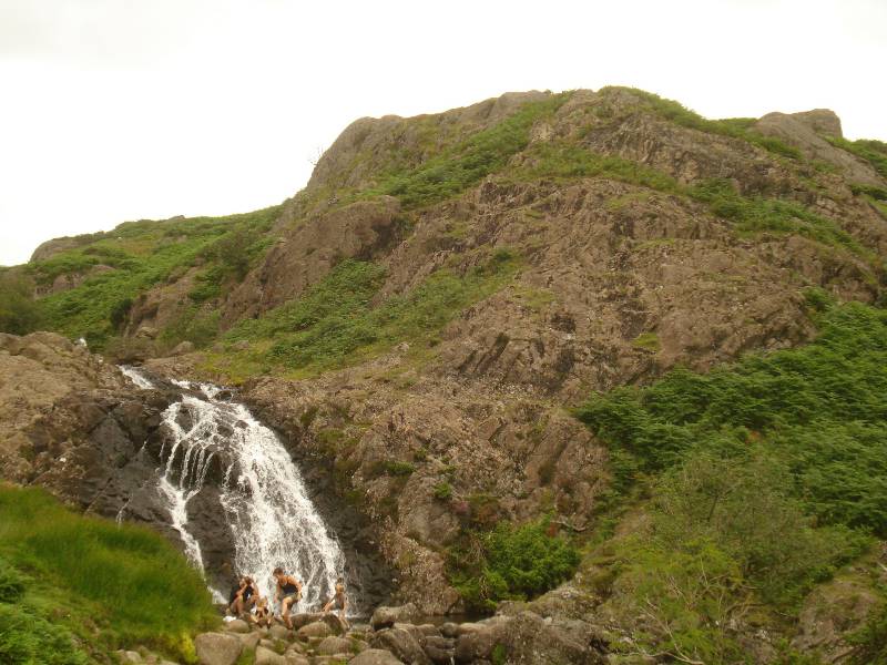 |
| Helm Crag |
Bathers at pool in Sour Milk Gill |
 |
| Helm Crag |
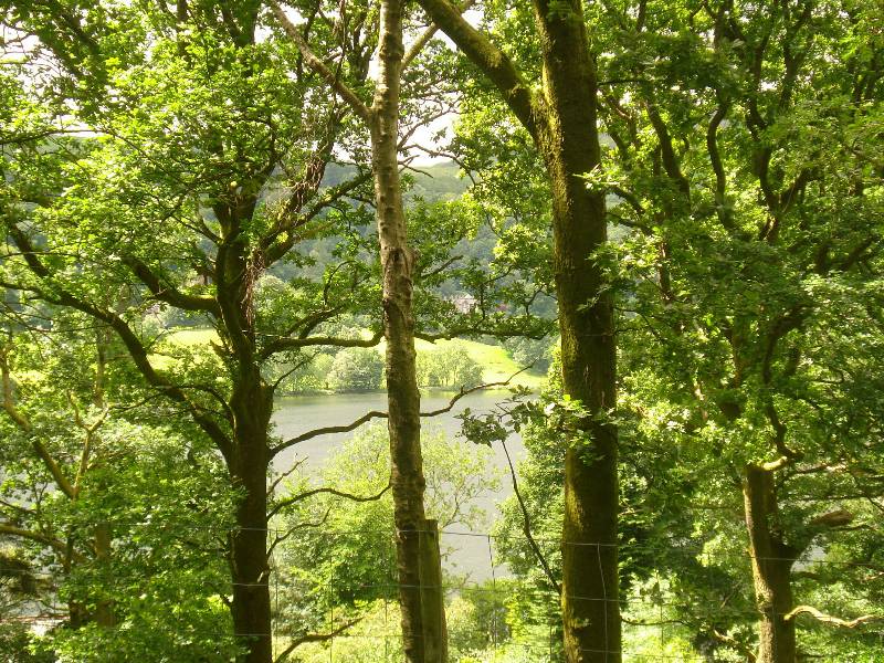
Walk from Pelter Bridge over Loughrigg Fell, height 335m, back to
Grasmere - afternoon 20th July 2008
 |
 |
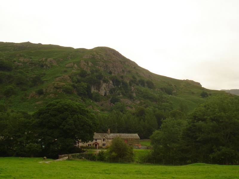
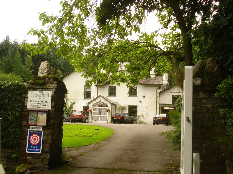
| Path up starts
to right of Fox Ghyll house (once lived in by Thomas de Quincey) |
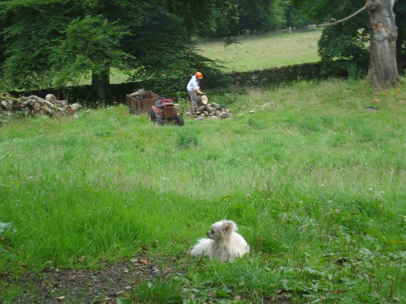
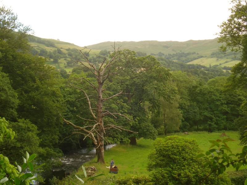
Wood cutting near River Rothay seen near start of
ascent |
 |
 |
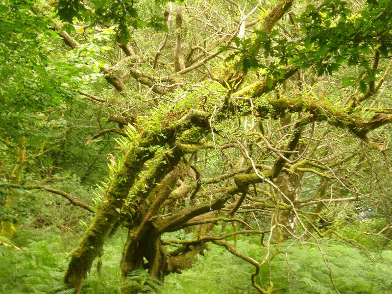
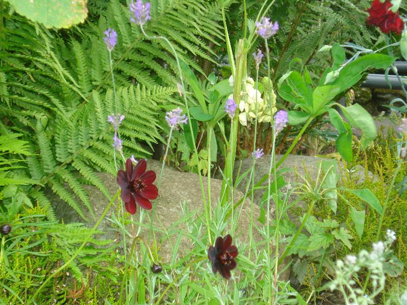
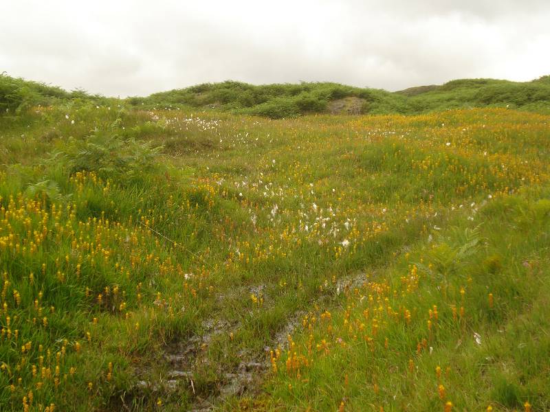
| A profusion of wild flowers |
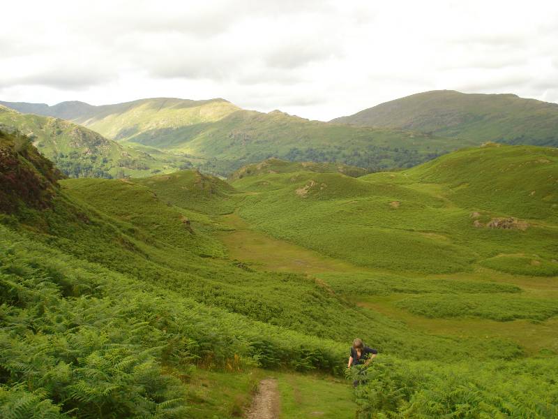
Slogging upward on a confusion of paths
through bracken |
 |
 |
| Looking east towards Ambleside |
Mountains towards the
east. |
 |
 |
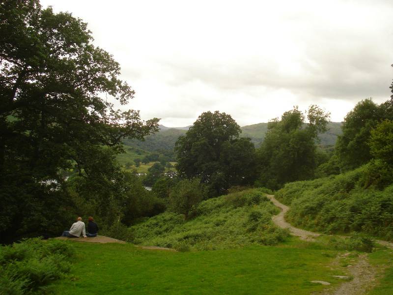
| From top of Loughrigg Fell looking SE to
Windermere |
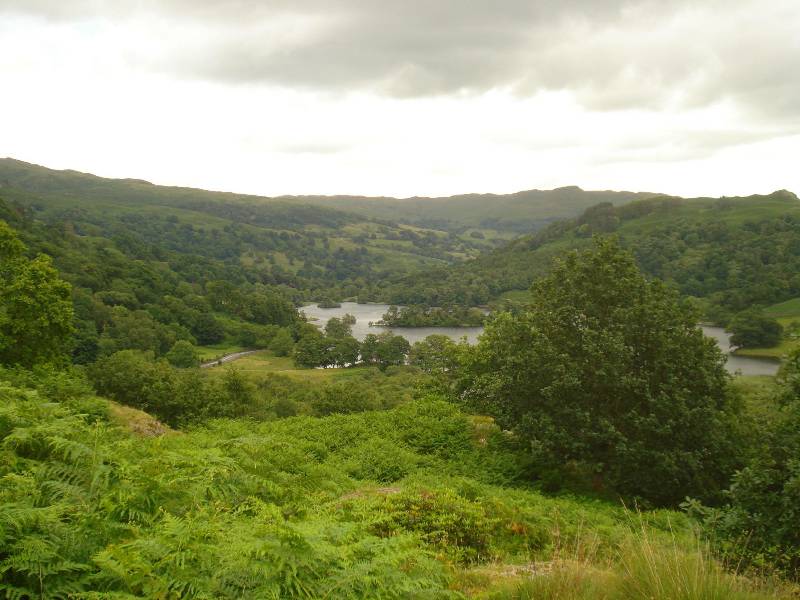
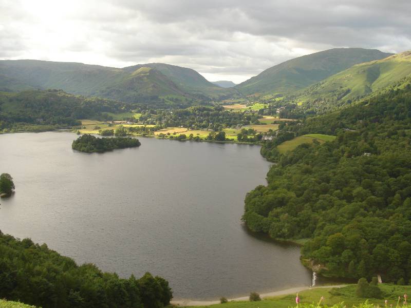
Down Loughrigg Fell, looking NE across
Grasmere with Helm Crag left/centre |
 |
 |
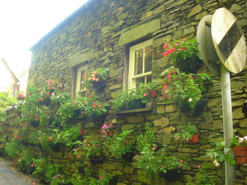
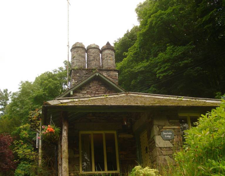
| Curved chimney stacks |
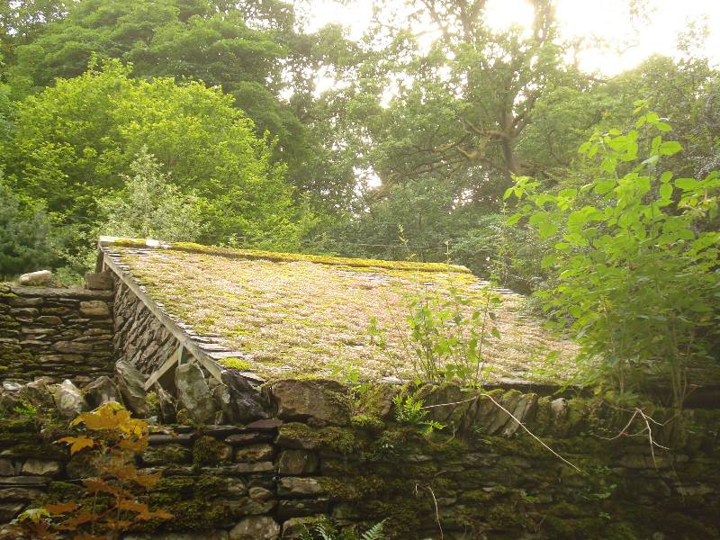
Roof covered by sedum |
 |
 |
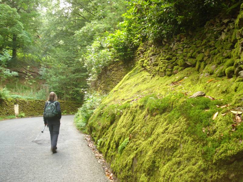
| Moss covered rocky bank along Dale End road
(drying out no rain!) |
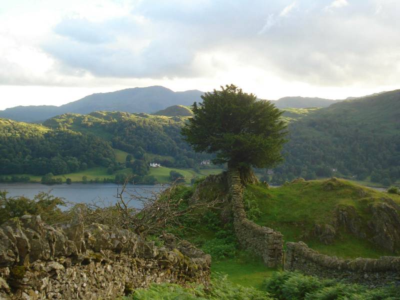
Looking towards Stone Arthur and Great Rigg
(left side of picture) |
 |
 |
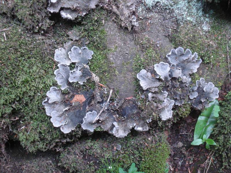
| Lichen on dry-stone wall |
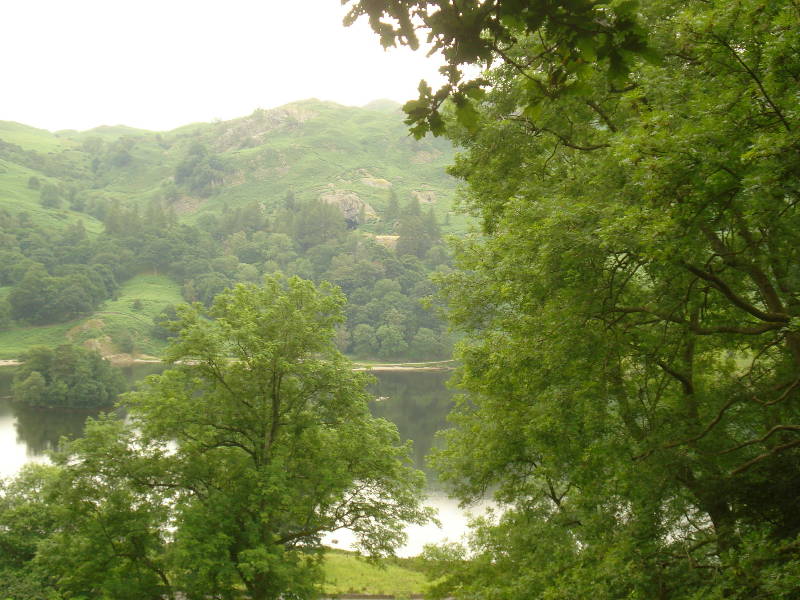
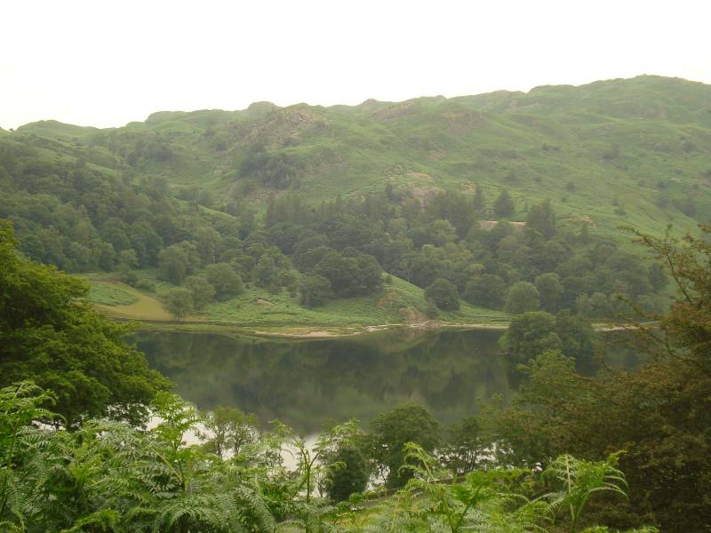
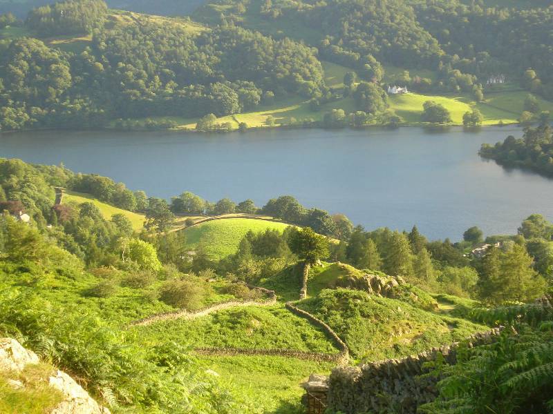
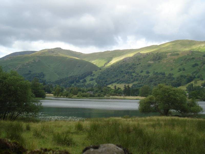
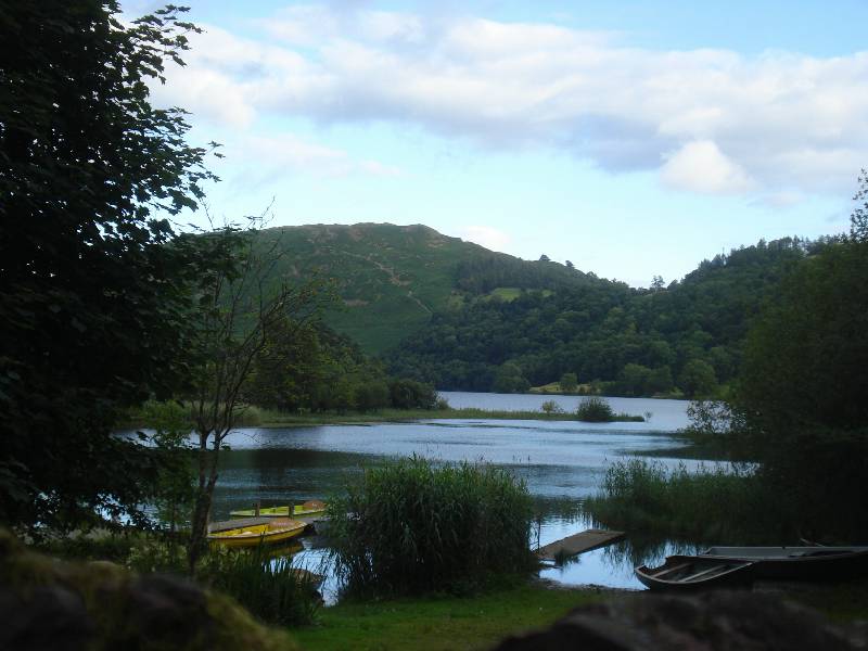
Route down Loughrigg Fell seen SE across
Grasmere Lake (near sunset) |
Round walk from Grasmere to Silver Howe
 |
 |
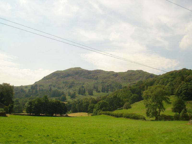
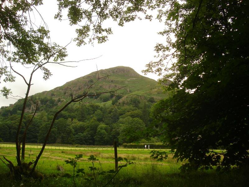
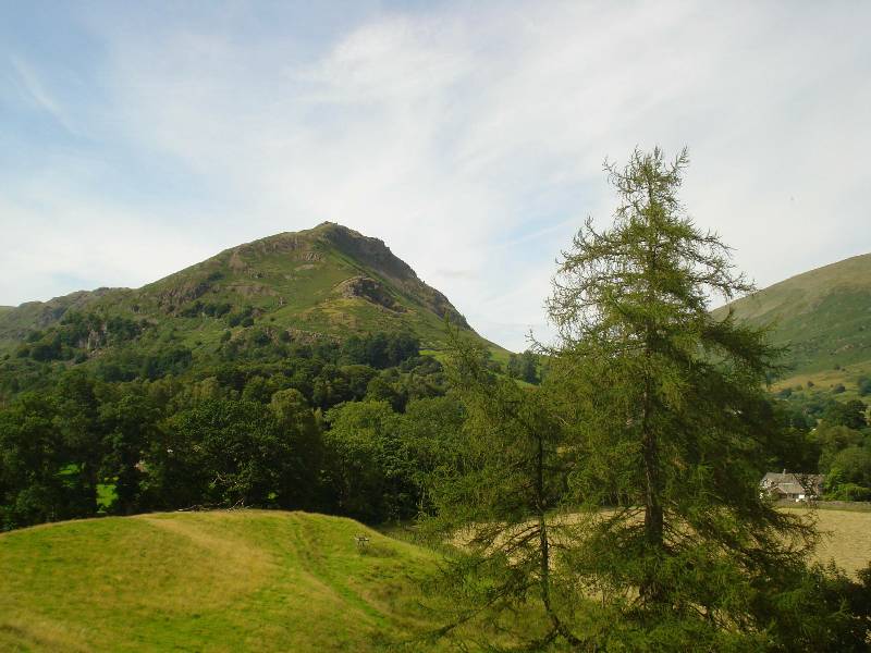
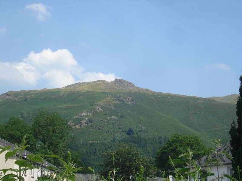
| Silver Howe seen from Grasmere |
View of Helm Crag, on left, while walking up Silver Howe |
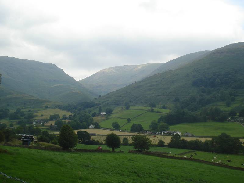
Round walk from Grasmere, taking about 5 hours, via Little Tongue Gill to
Fairfield, height 873m, and back down via Stone Arthur
 |
 |
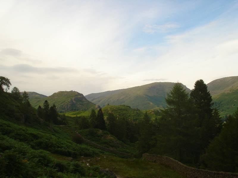
| Seat Sandal on left, Great Tongue in valley
beyond trees |
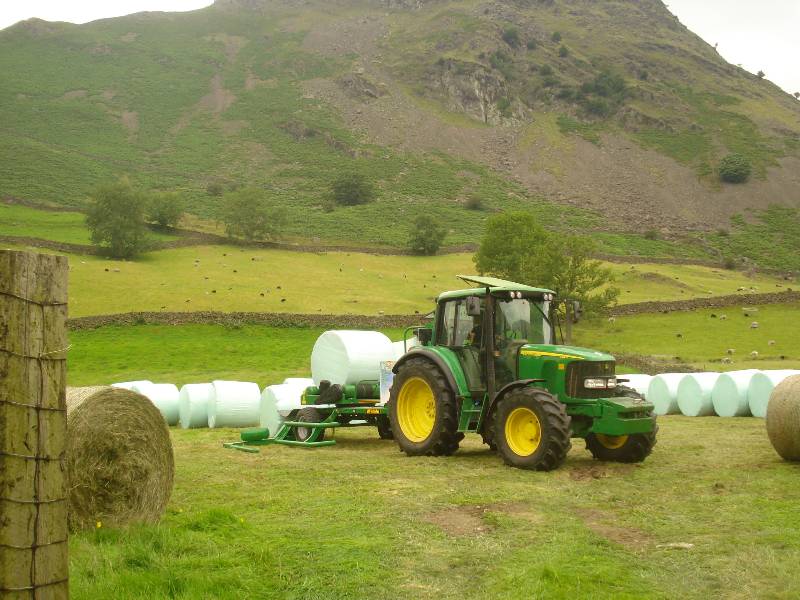
Hay baling below Helm Crag |
 |
 |
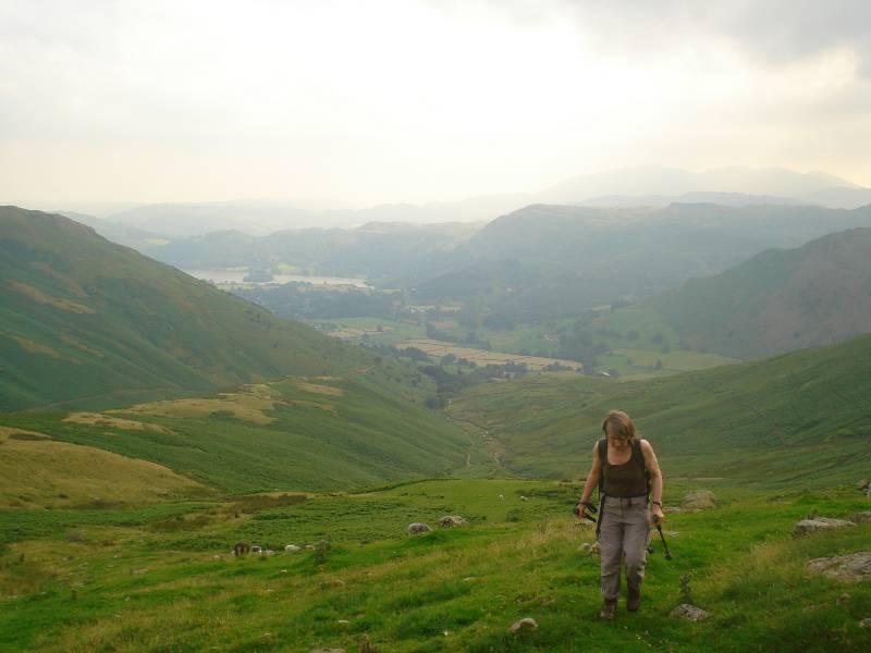
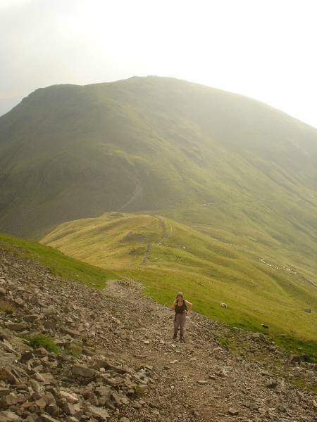
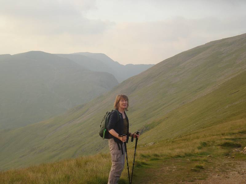
| Ascending Little Tongue, Grasmere in valley
behind |
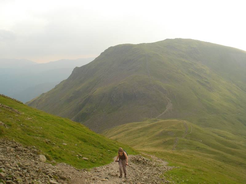
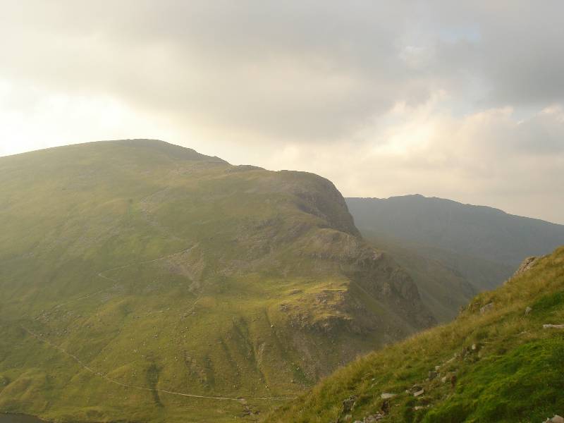
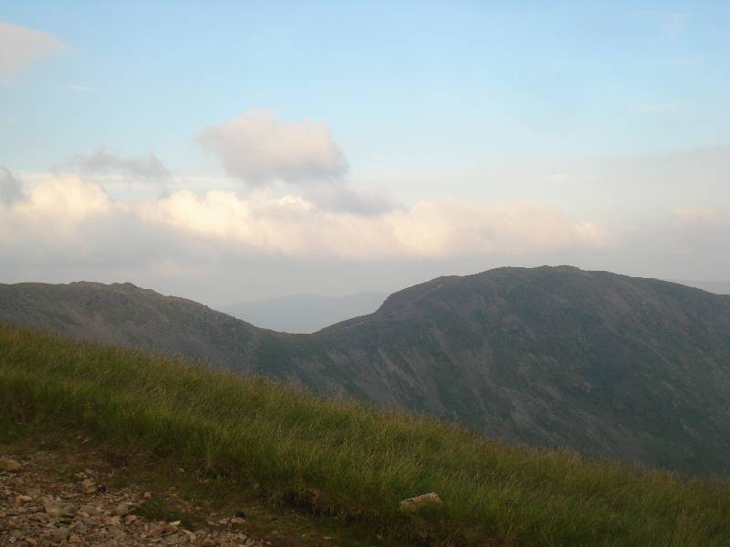
Up rough scree path on Fairfield, Seat Sandal
behind and neck to Grisedale Tarn |
 |
 |
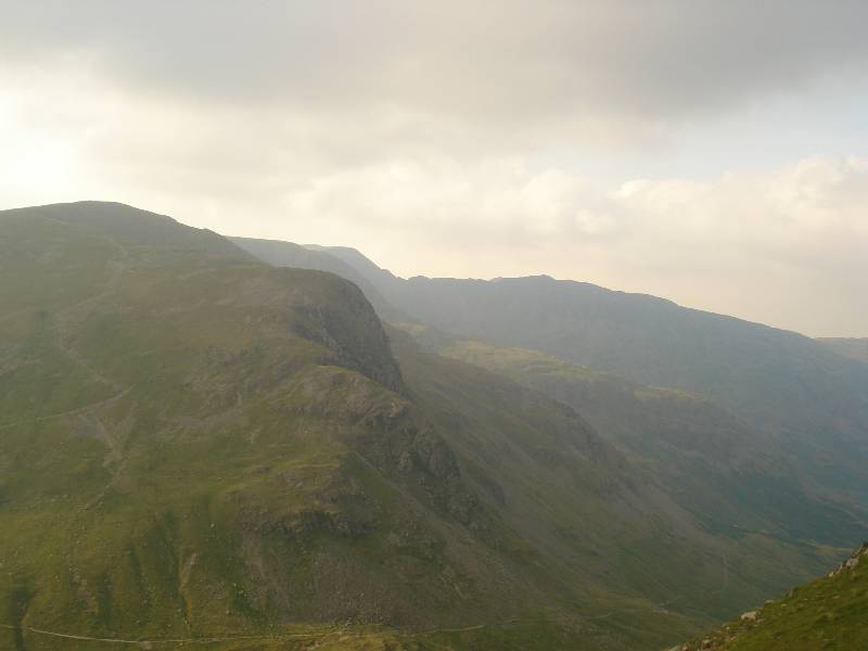
| Dollywaggon Pike with path to Patterdale at
bottom, seen on Fairfield ascent |
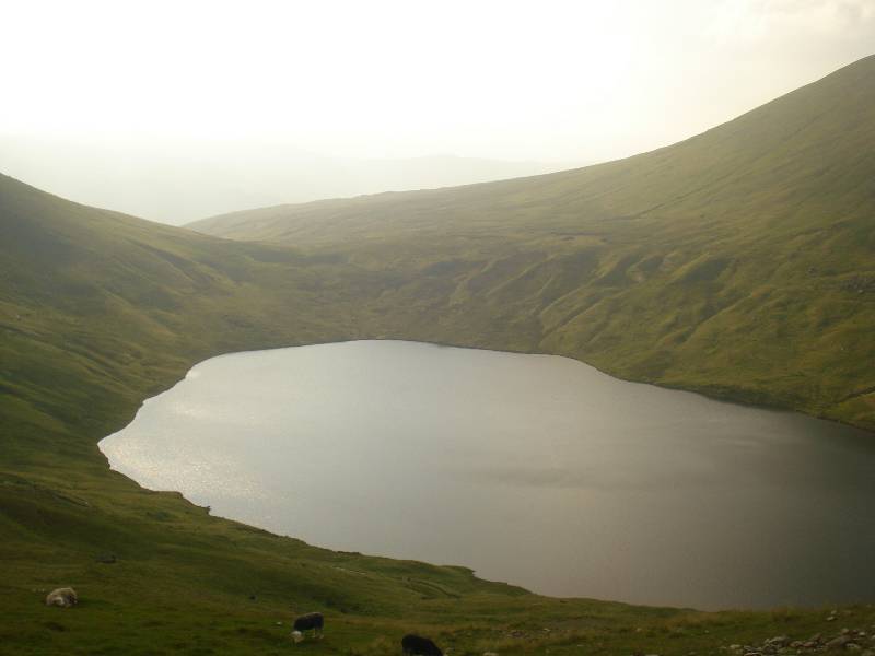
Grisedale Tarn seen from Fairfield slopes
|
 |
 |
| Scree becomes worse |
To right, Striding edge leading to Helvellyn, path
to Patterdale below. |
 |
 |
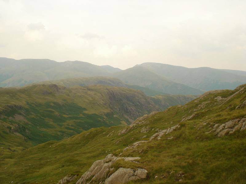
| St Sunday Crag seen NE of Fairfield summit |
Hart Crag and Dove Crag to east? |
 |
 |
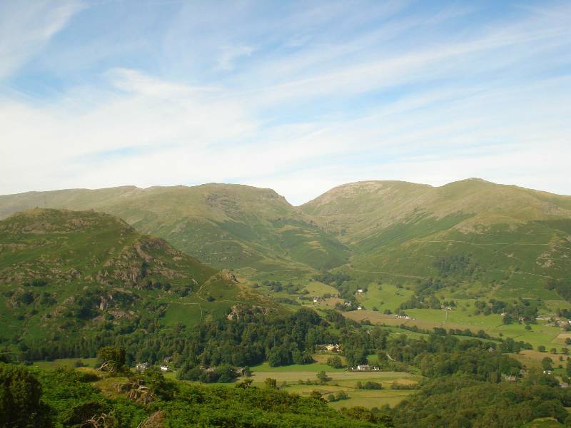
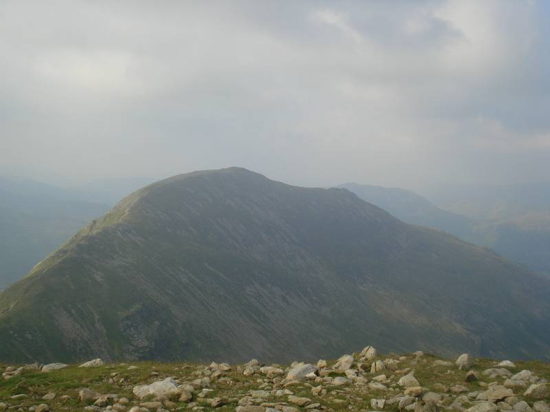
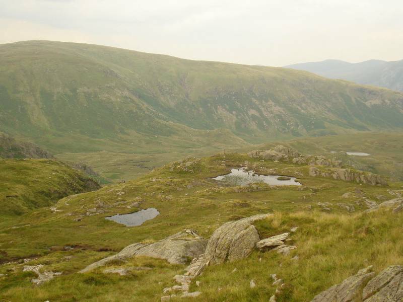
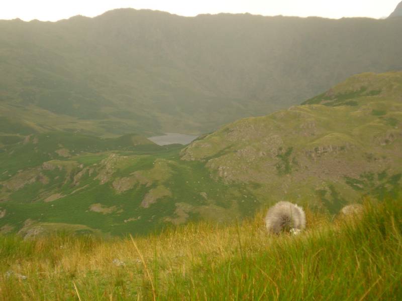
| Descending SSE on ridge towards Stone Arthur |
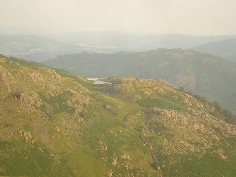
Alcock Tarn seen from above near Stone Arthur |
 |
 |
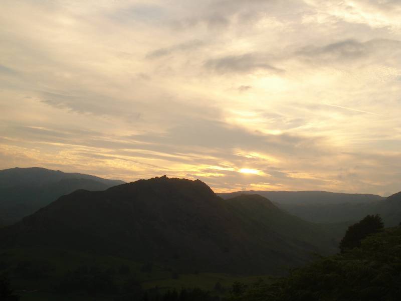
| Helm Crag west of Stone Arthur with sun setting |
Stone Arthur seen from road into Grasmere |
Round walk, taking about 7 hours, from Grasmere via Easedale Tarn, Sergeant Man,
height
734m, Mere Brook, Calf Crag, Gibson Knott, and back via Helm Crag (following photos
taken after Easedale Tarn - see earlier round walk to Easedale Tarn for the
Grasmere to Easedale Tarn section)
 |
|
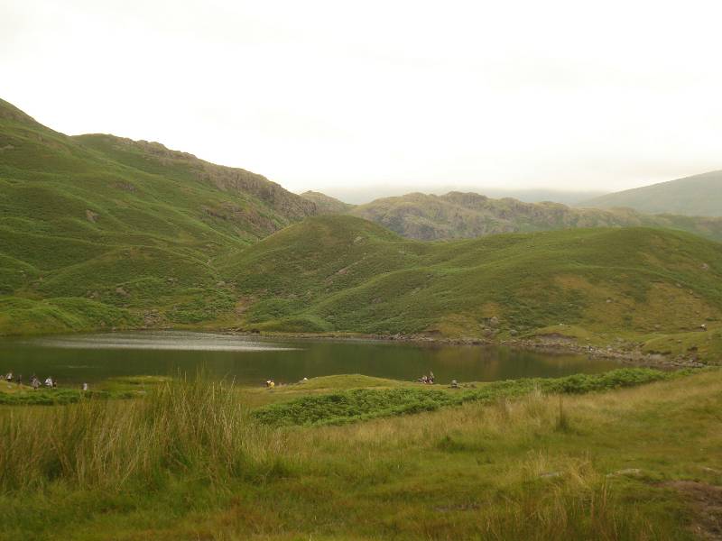
| Looking back NEE from below Belles Knot to
Easdale Tarn |
Neck crossed between Eagle Crag ridge and Belles
Knot on right |
 |
 |
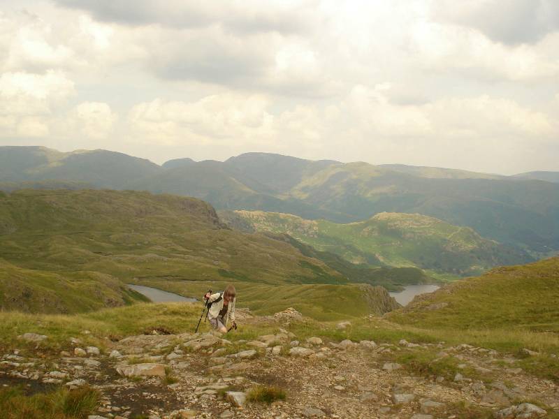
| Further views of Easedale Tarn on
ascent with Helm Crag & Gibsons Knott in mid distance with Seat
Sandal, Fairfield, Great Rigg on Skyline and Stone Arthur behind
|
 |
 |
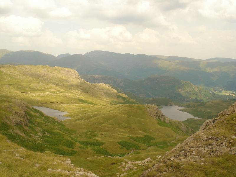
| Codale Tarn, higher up than
Easedale Tarn below, comes into view on the left |
 |
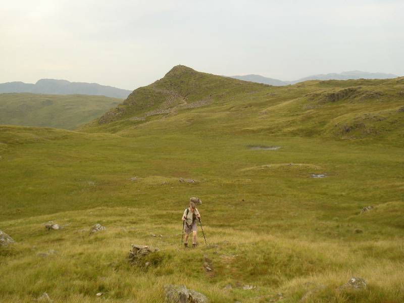 |
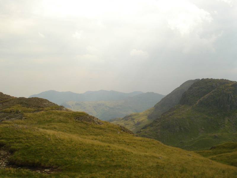
| View of Pavey Ark? to right of picture |
Sergeant Man behind as we head NNE |
 |
 |
| Still NNE following iron fence
posts |
 |
 |
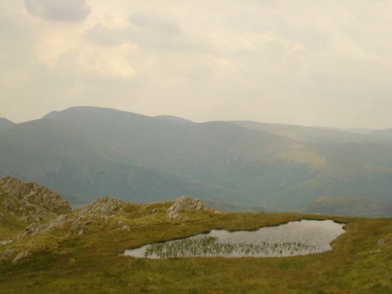
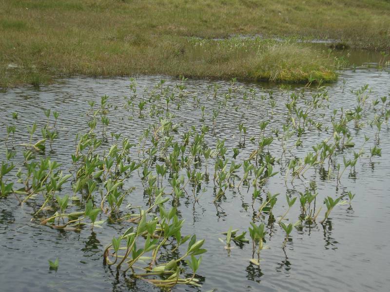
| Broad beans growing in Tarn? |
|
 |
 |
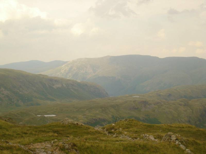
| Joining Calf Crag and following ridge route
to Helm Crag |
|
 |
 |
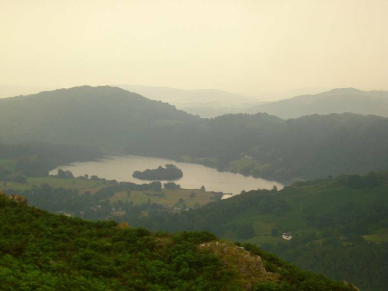
| Grasmere in middle with Windermere, behind
Loughrigg, in distance |
Far Easedale Gill below - quicker valley
route SEE into Grasmere |
 |
 |
| |
Easedale Tarn comes into view |
 |
 |
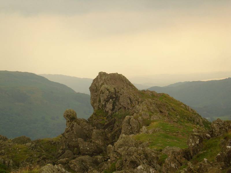
| Helm Crag - the organ player? |
Gibsons Knott ridge to right, Far Easedale
Gill in valley |
 |
 |
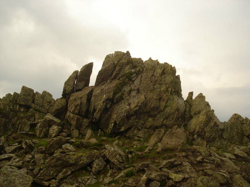
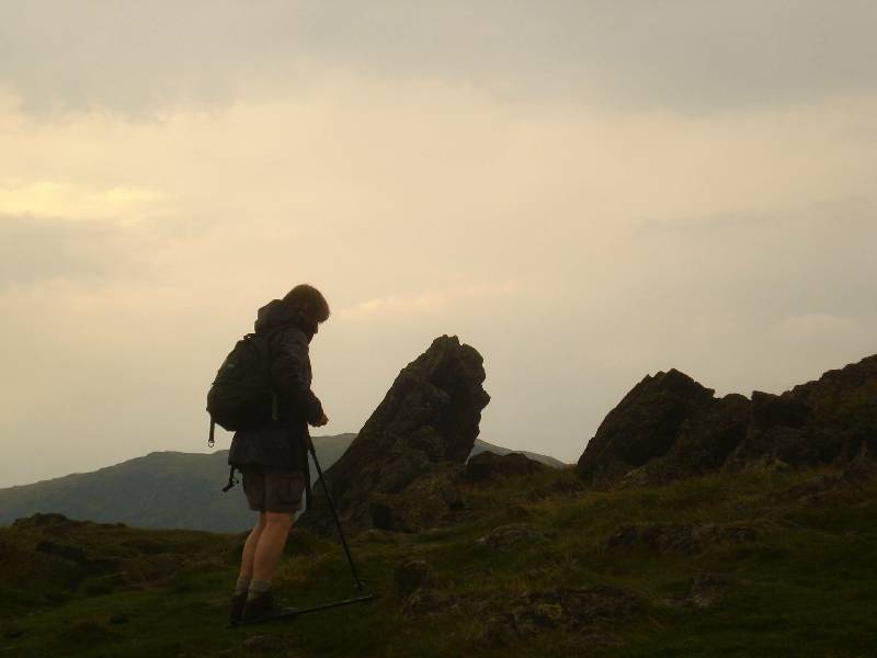
| The Howitzer on Helm Crag |
The Lion and Lamb? on Helm Crag |
 |
 |
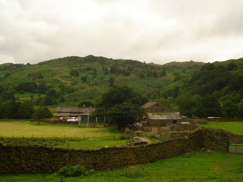
| Grasmere below Helm Crag |
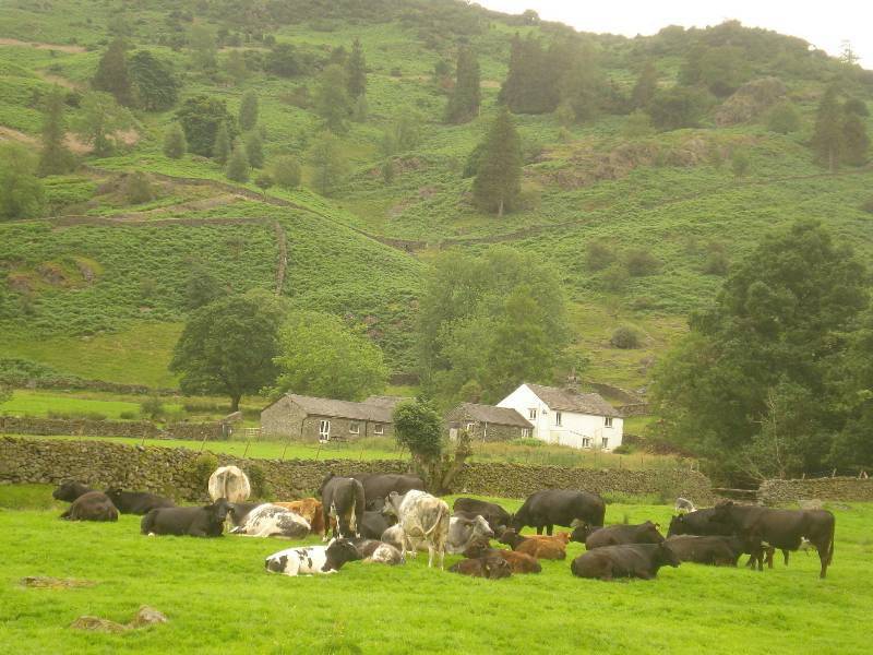
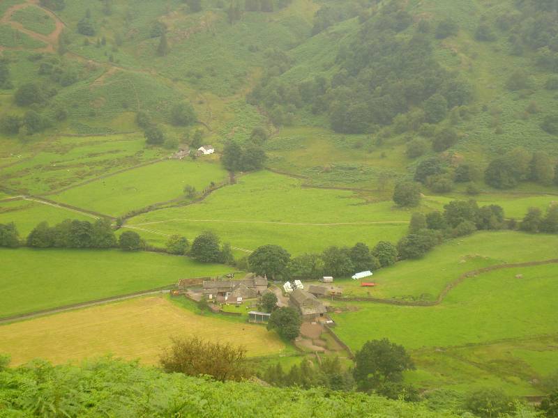
Farms seen on descent of Helm Crag |
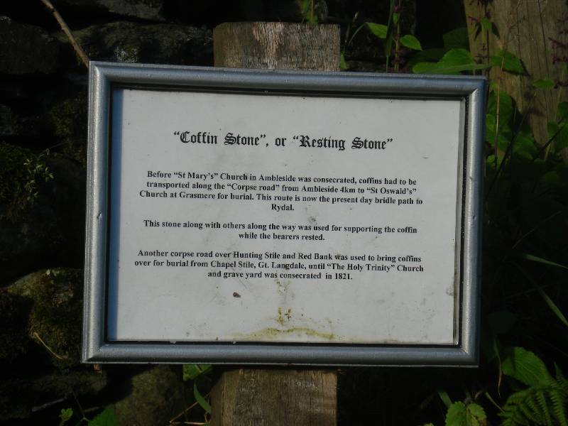
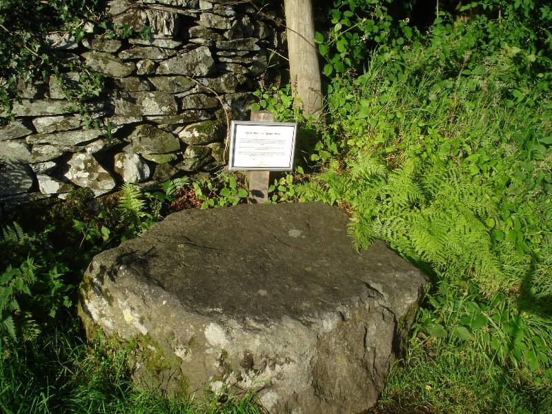
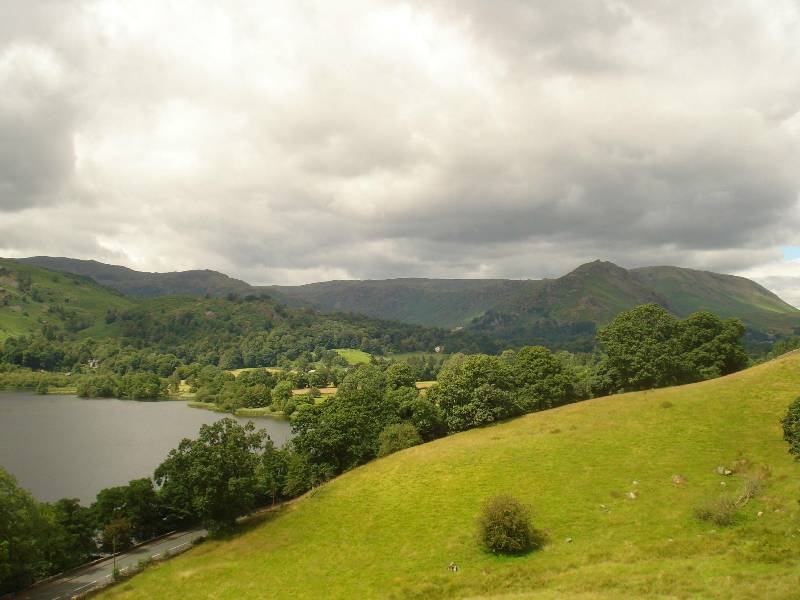
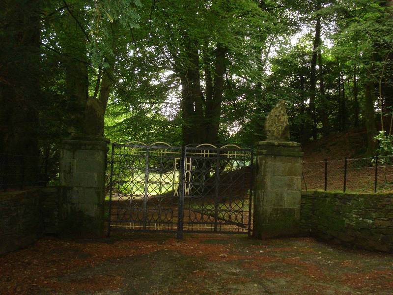
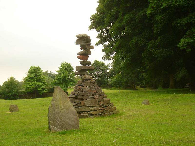
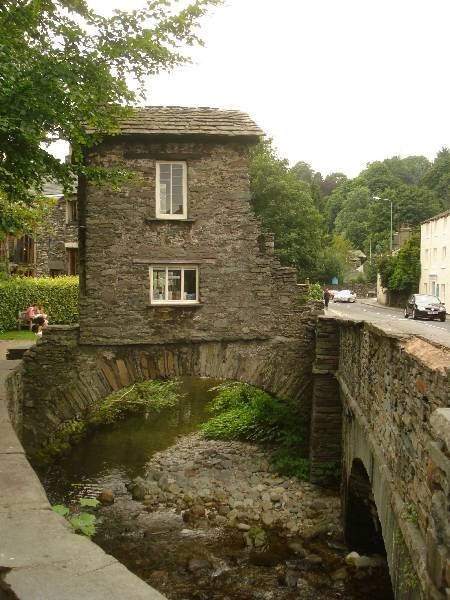
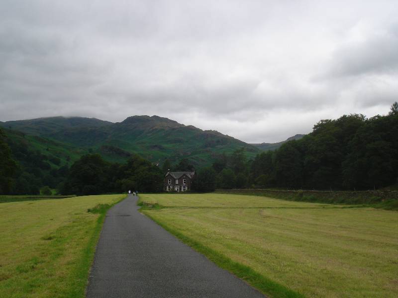
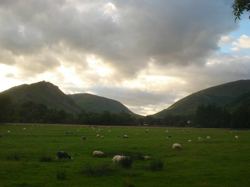
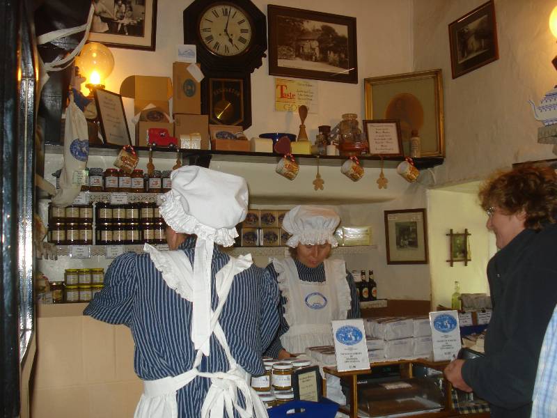
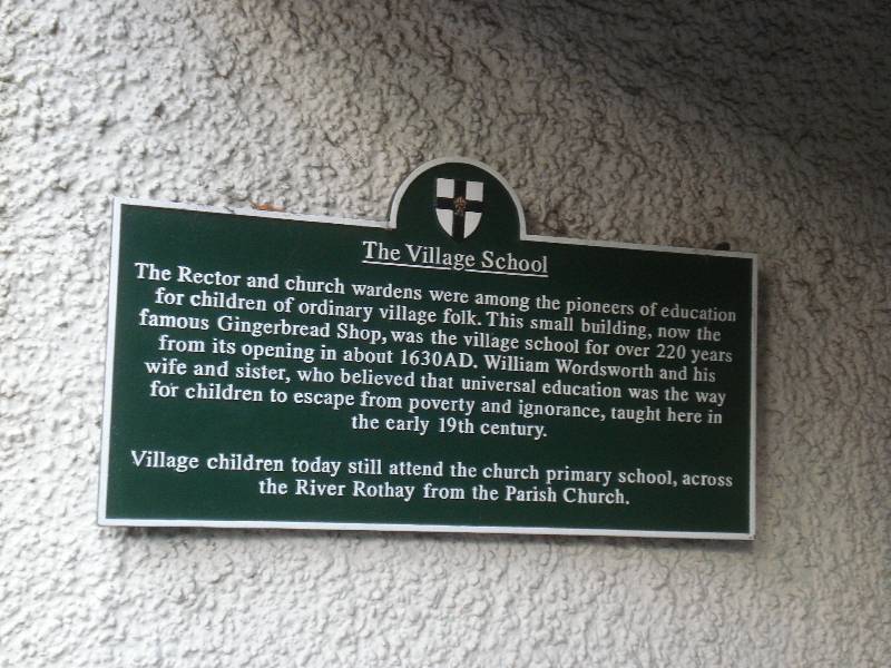
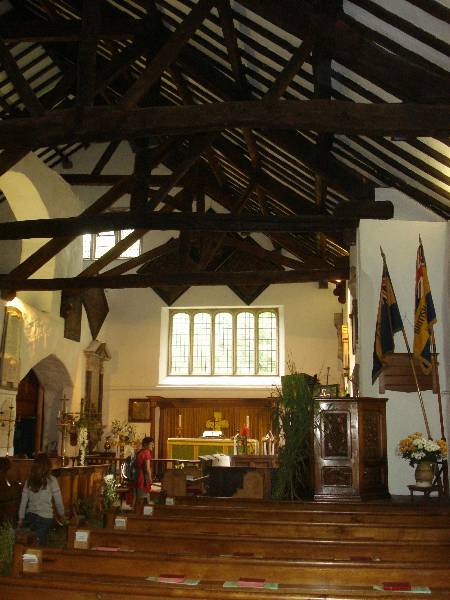
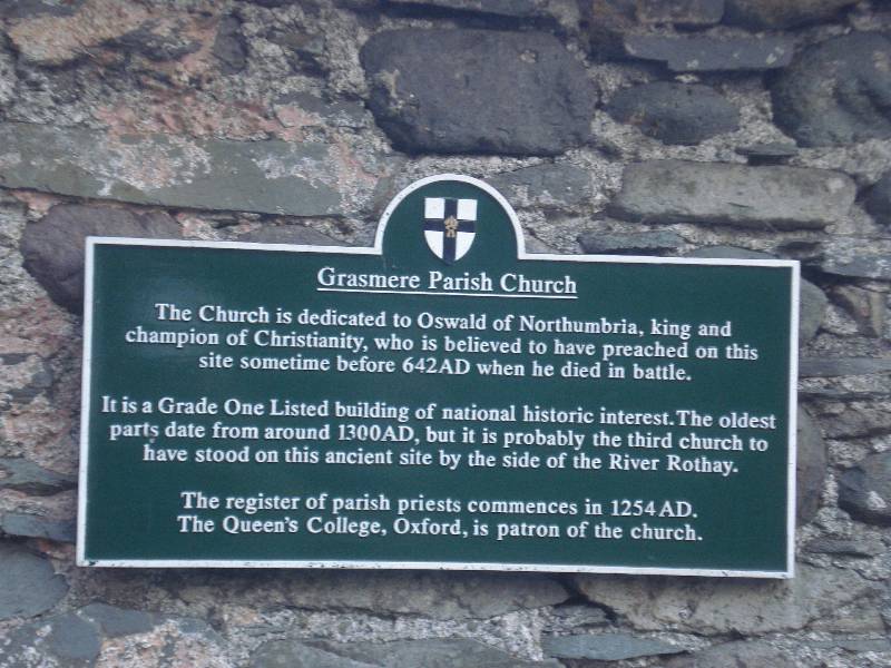
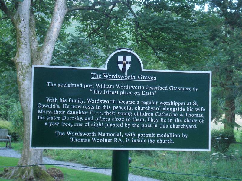
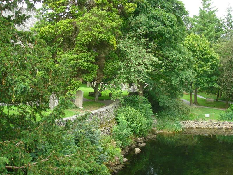
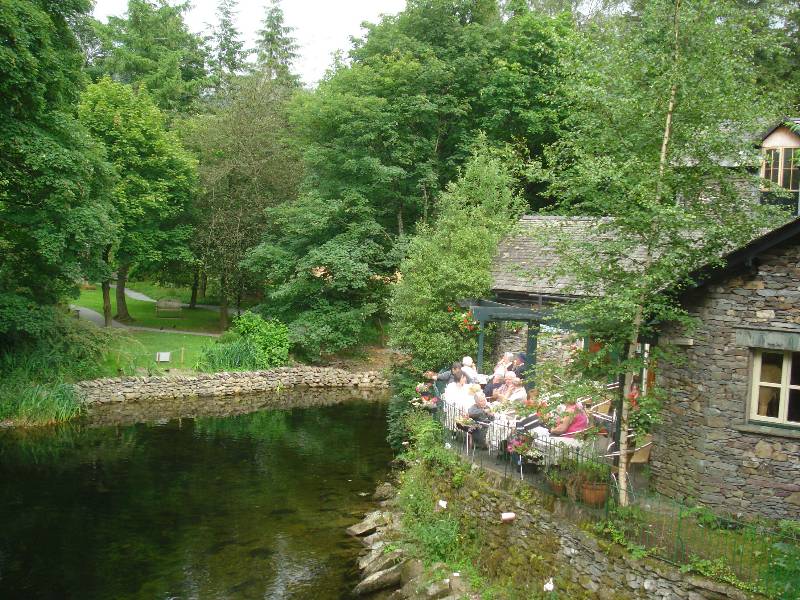
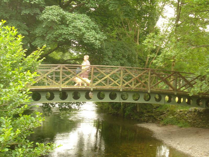
Some pictures around Grasmere