homepage - Day Walks
Index 2015 - contact me at
![]()
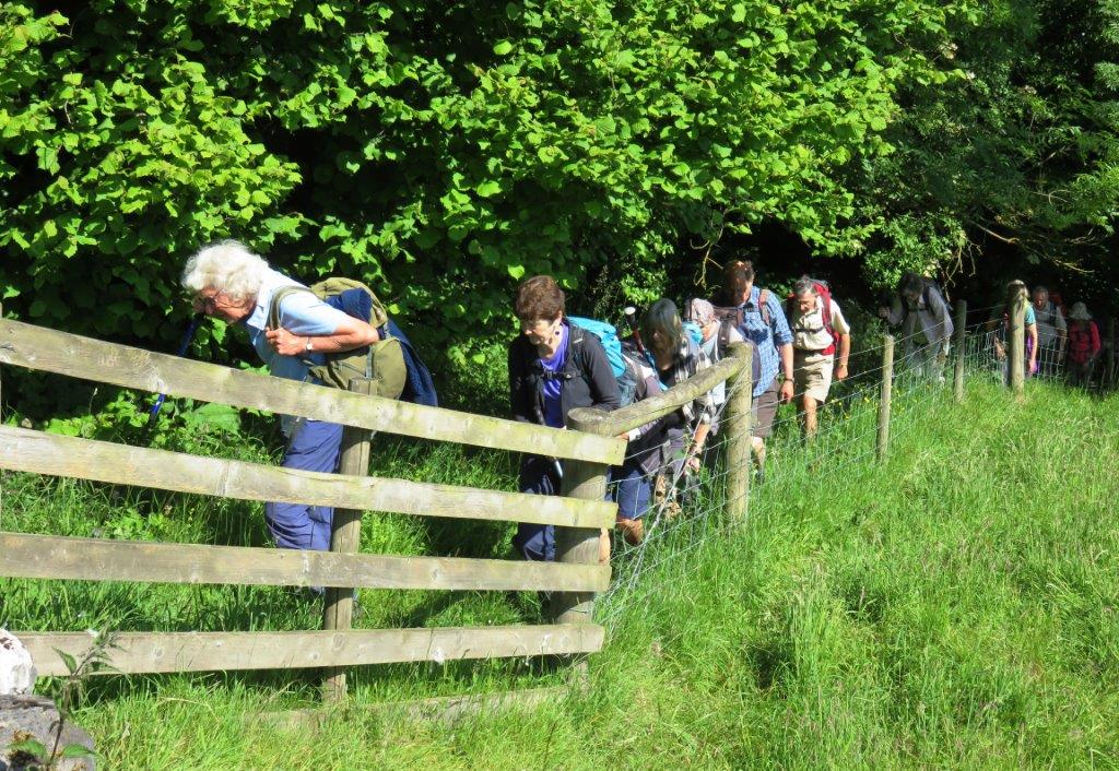
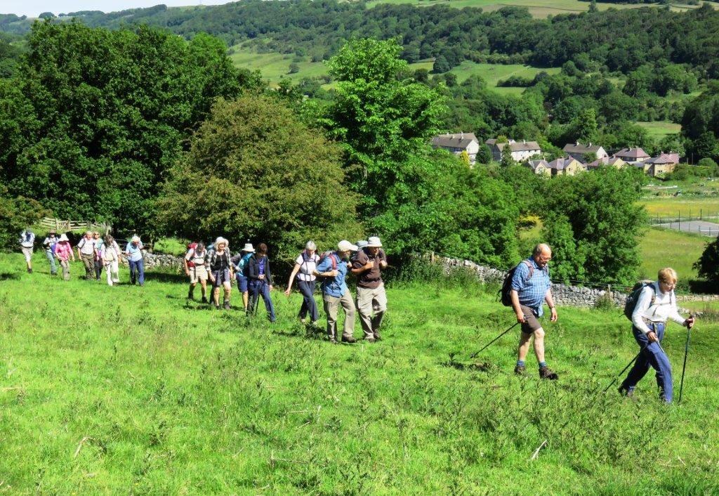
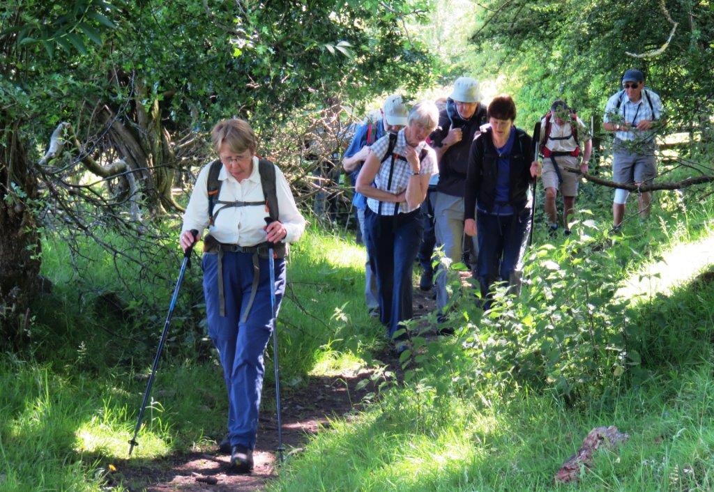
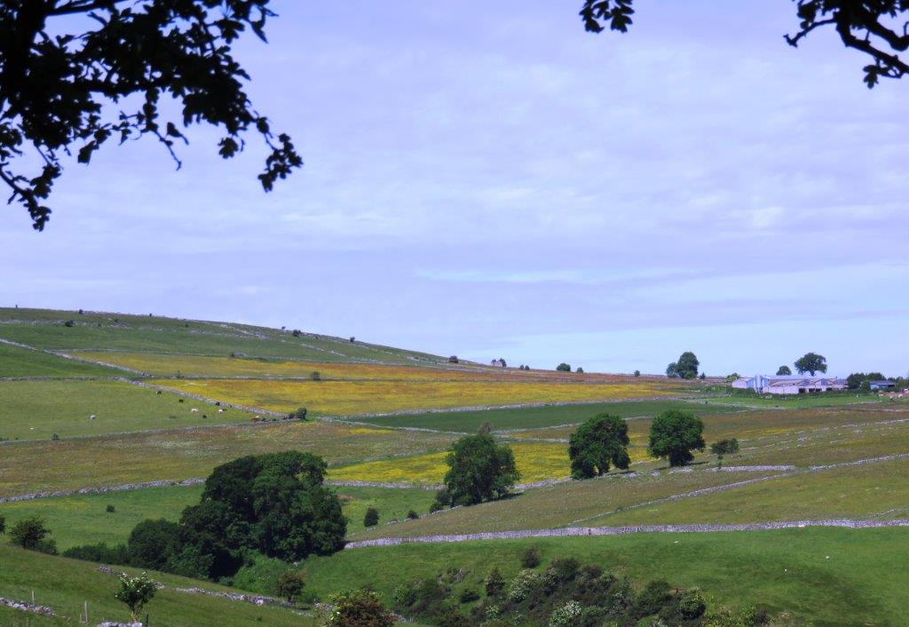
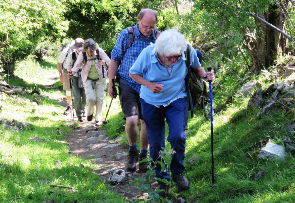
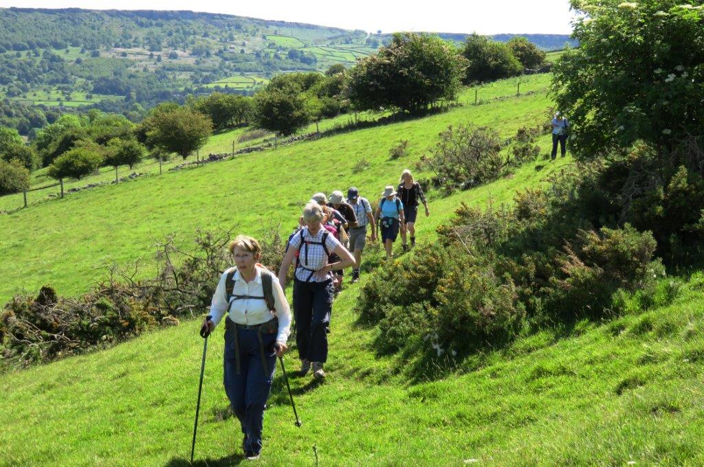
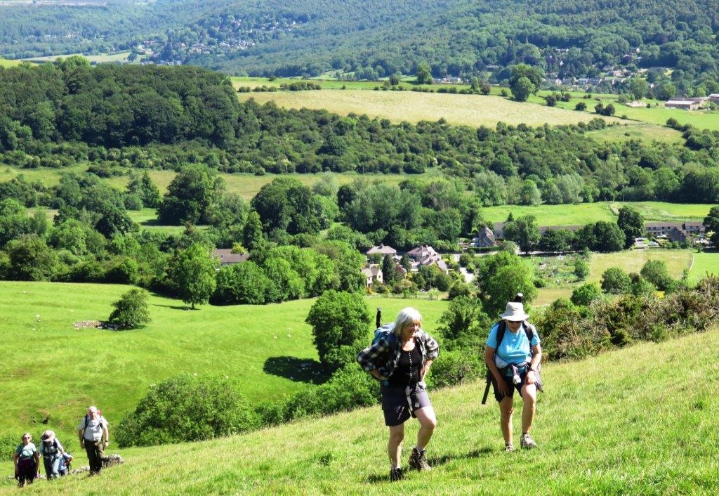
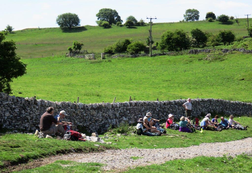
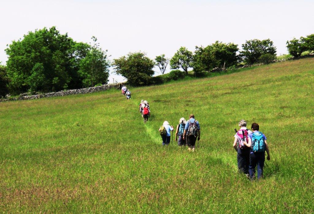
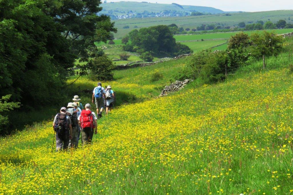
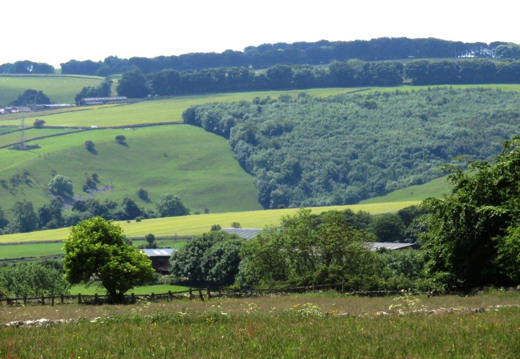
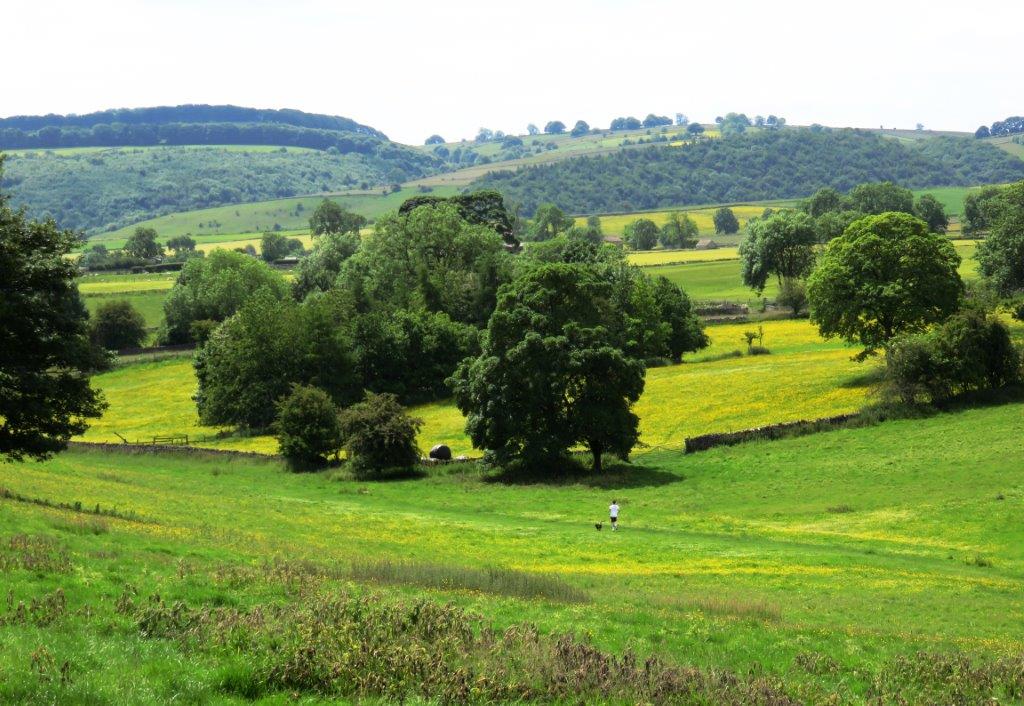
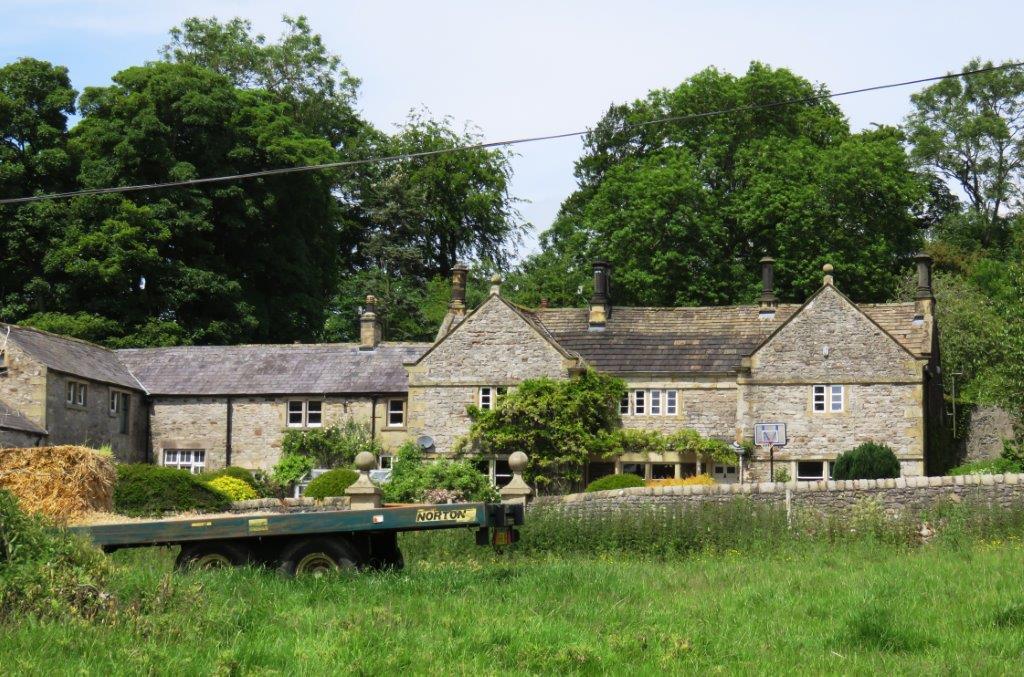
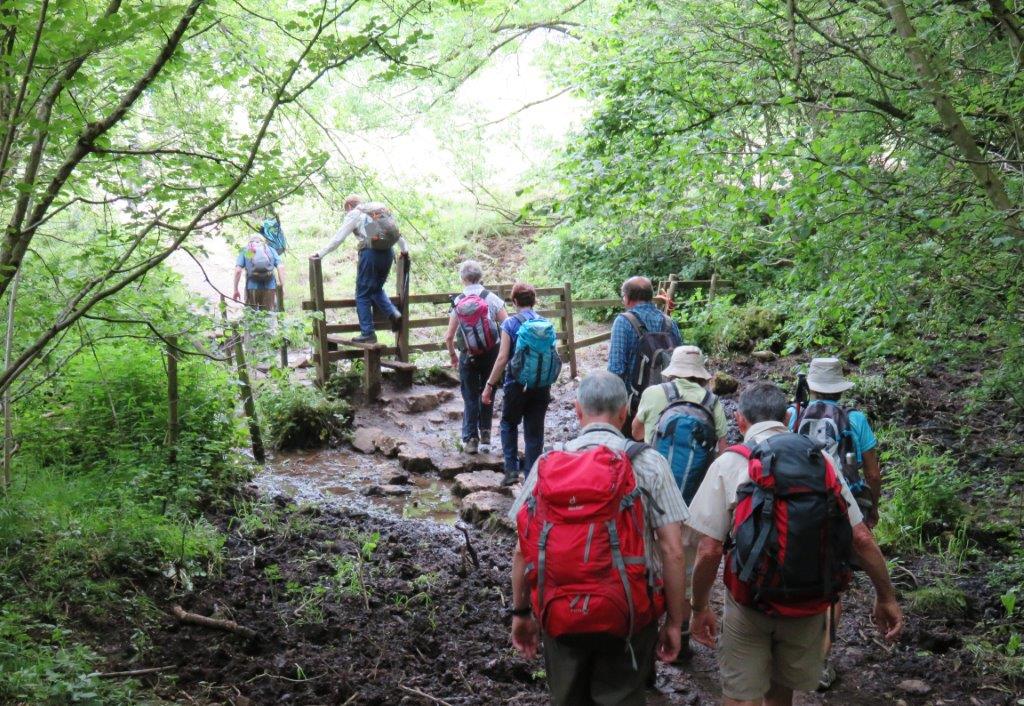
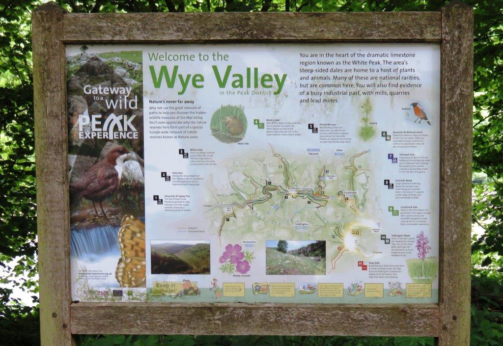
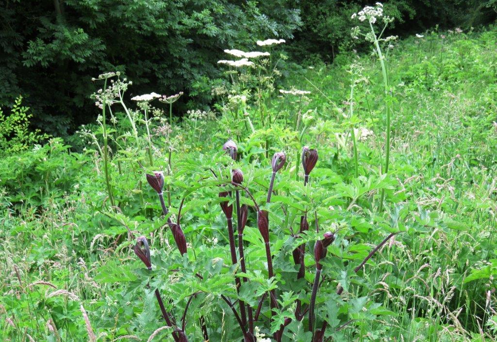
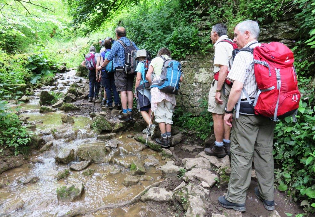
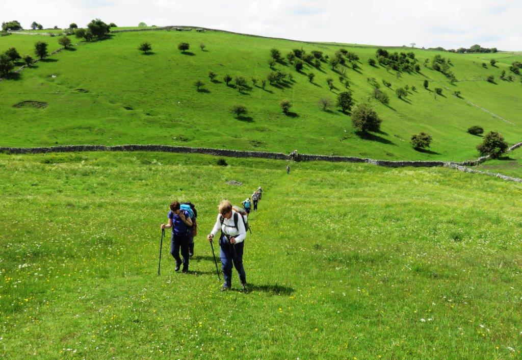
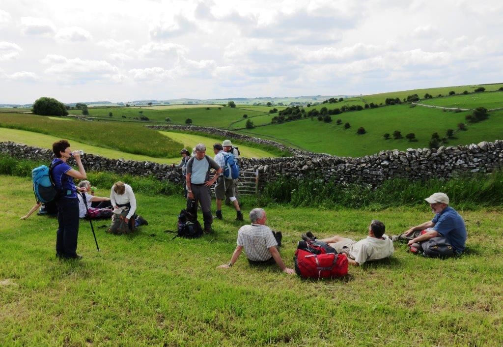
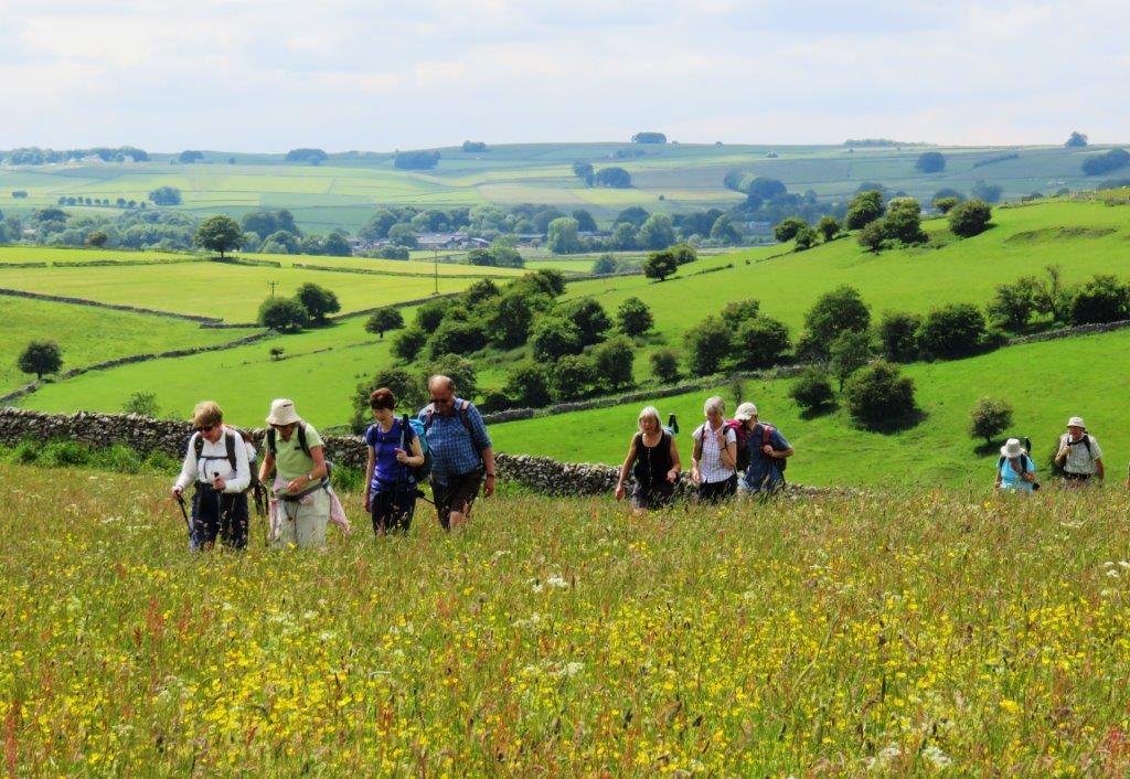
2015.06.24 - Coombs Dale, cross Deep Rake, Hardrake Lane, Great Longstone, Little Longstone, Monsal Head, Monsal Dale, Lees Bottom, Deep Dale, Sheldon, cross Kirk Dale, Dirtlow Farm,cross Crowhill Lane & Stanedge Road, Bakewell - leader Judy Gathercole - Wednesday
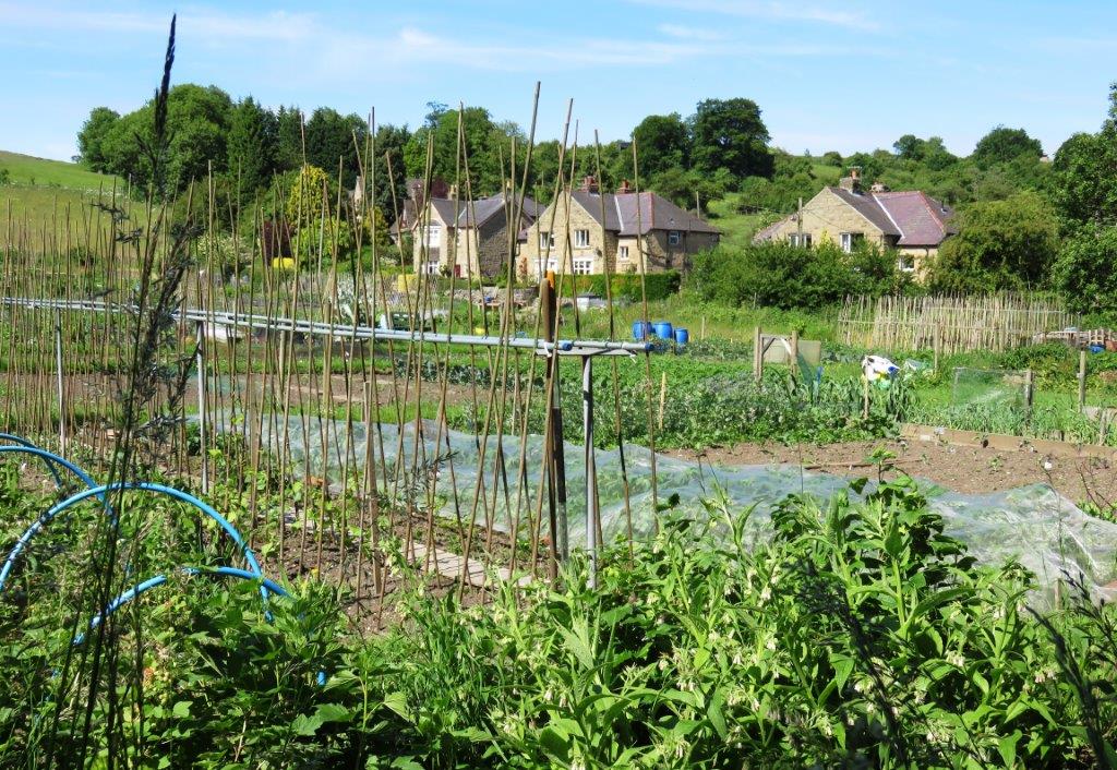 |
| allotment near bottom of Coombs Dale |
 |
 |
 |
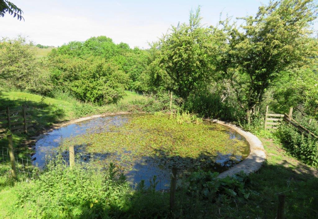 |
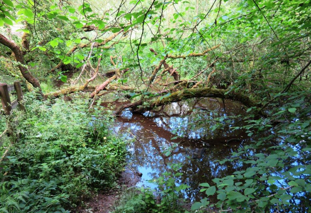
| dew pond silting up |
 |
 |
 |
 |
 |
 |
 |
 |
 |
 |
 |
 |
 |
 |
 |
 |
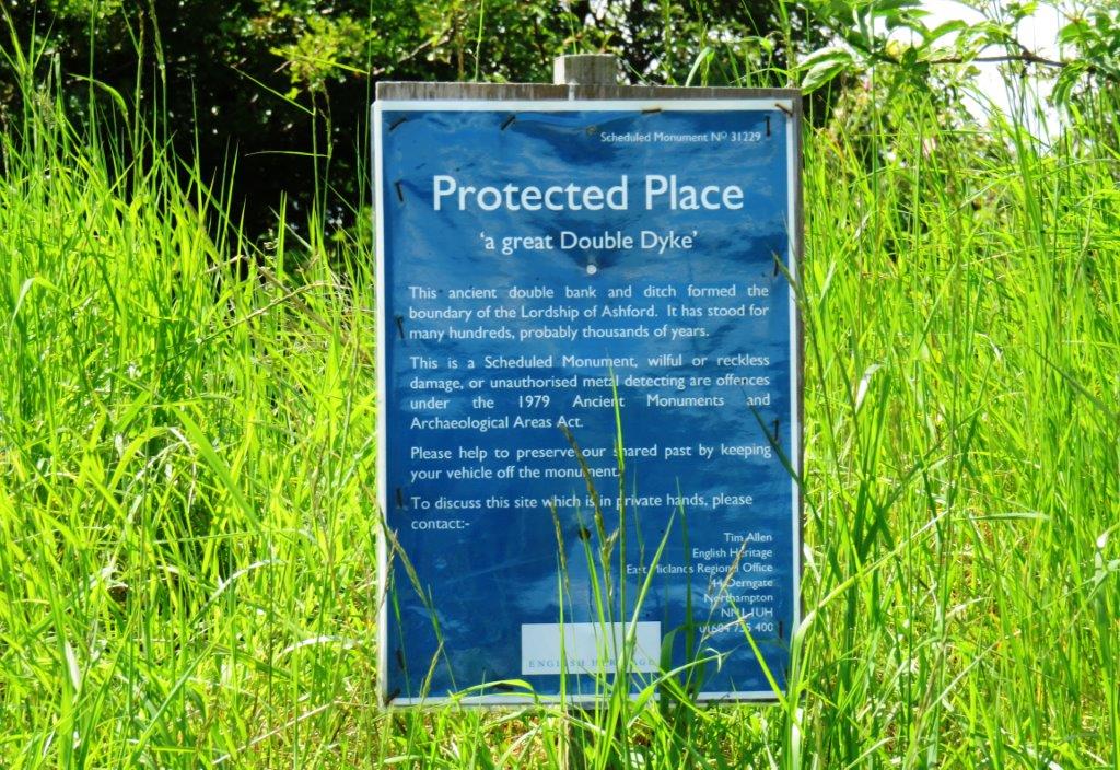 |
| Double Dyke & Ditch formed boundary of Lordship of Ashford |
 |
 |
 |
 |
 |
 |
 |
 |
 |
 |
 |
 |
| Rowland? |
 |
 |
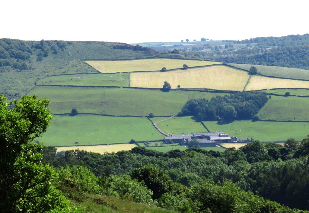
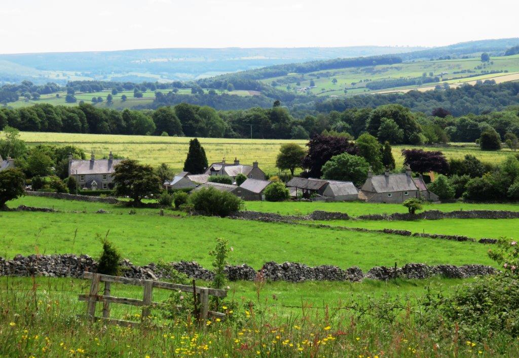
| Monsal Head in distance with hotel in front |
 |
 |
 |
 |
 |
 |
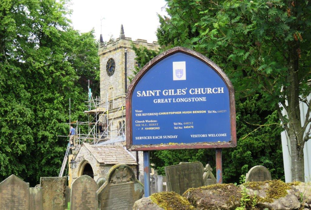 |
| St Giles' Church - Great Longstone |
 |
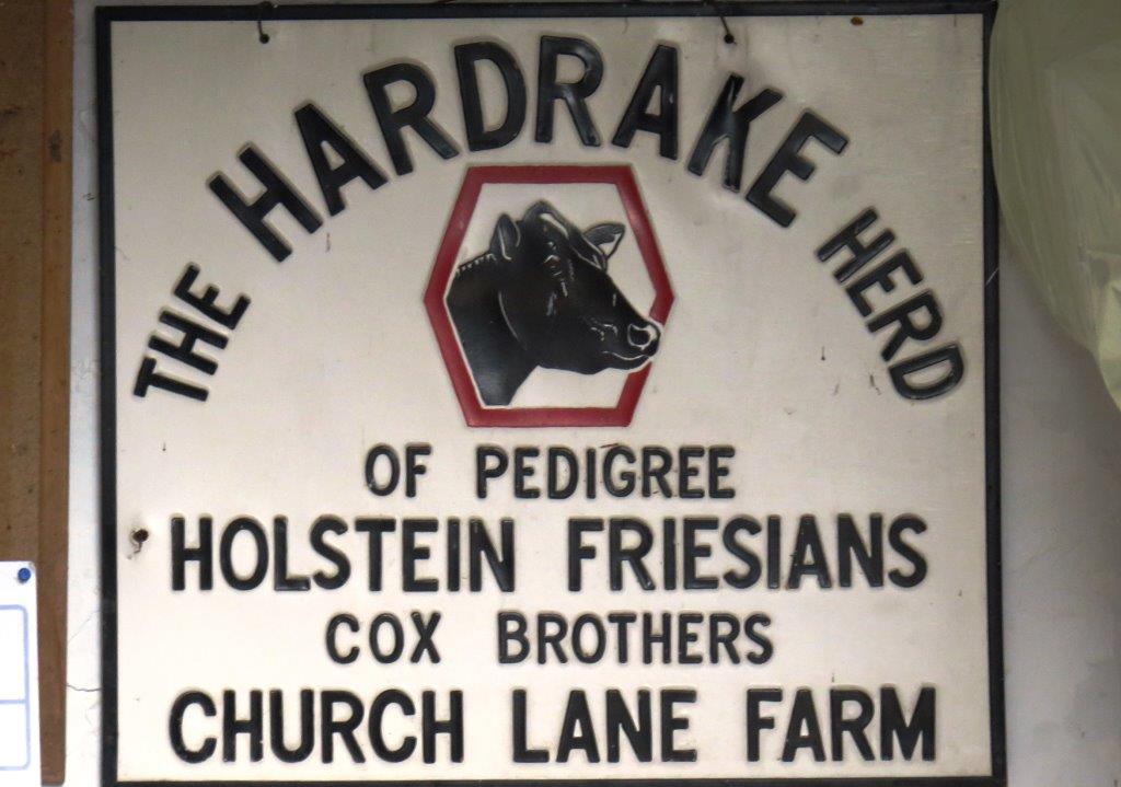 |
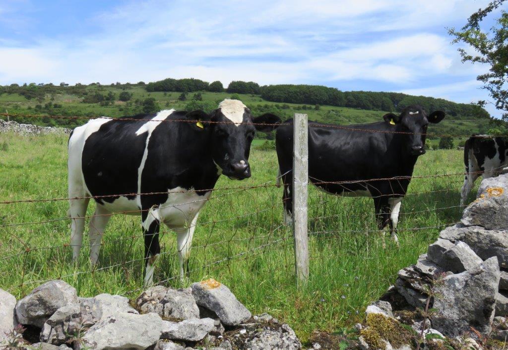
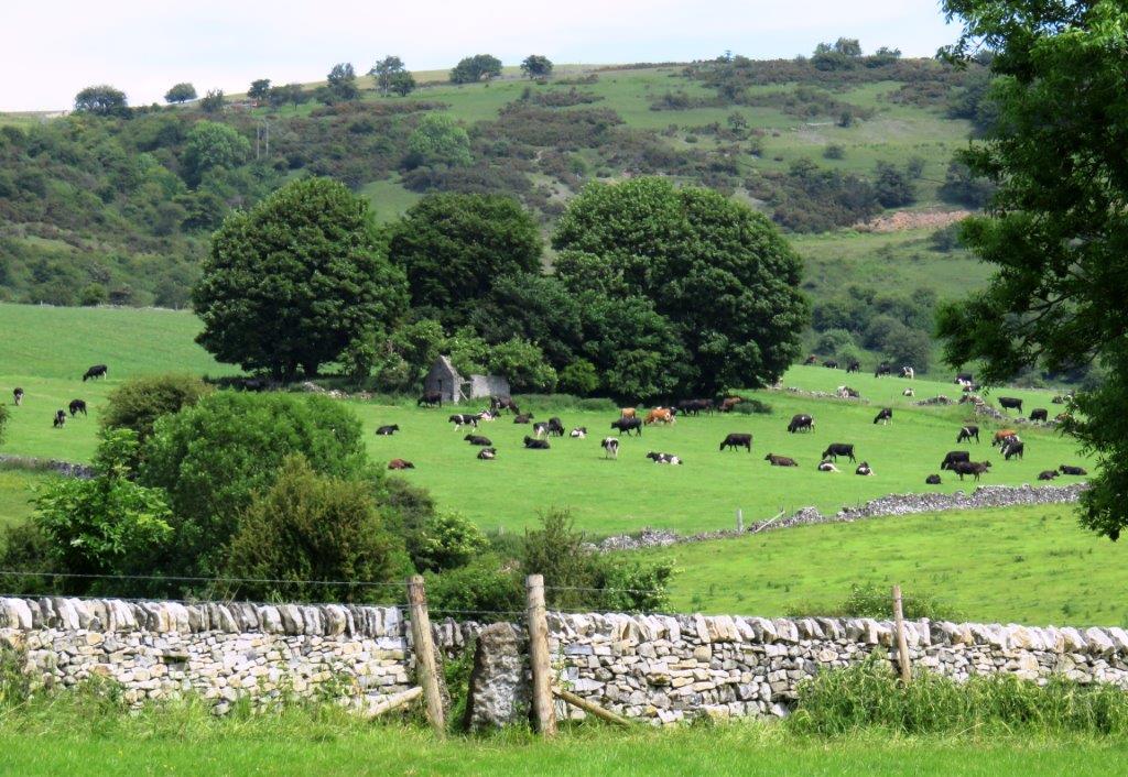
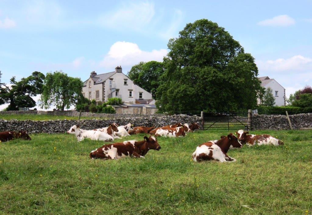
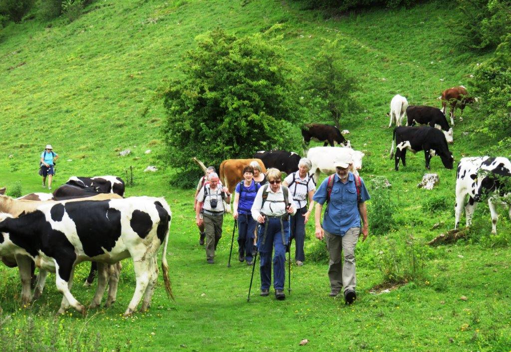
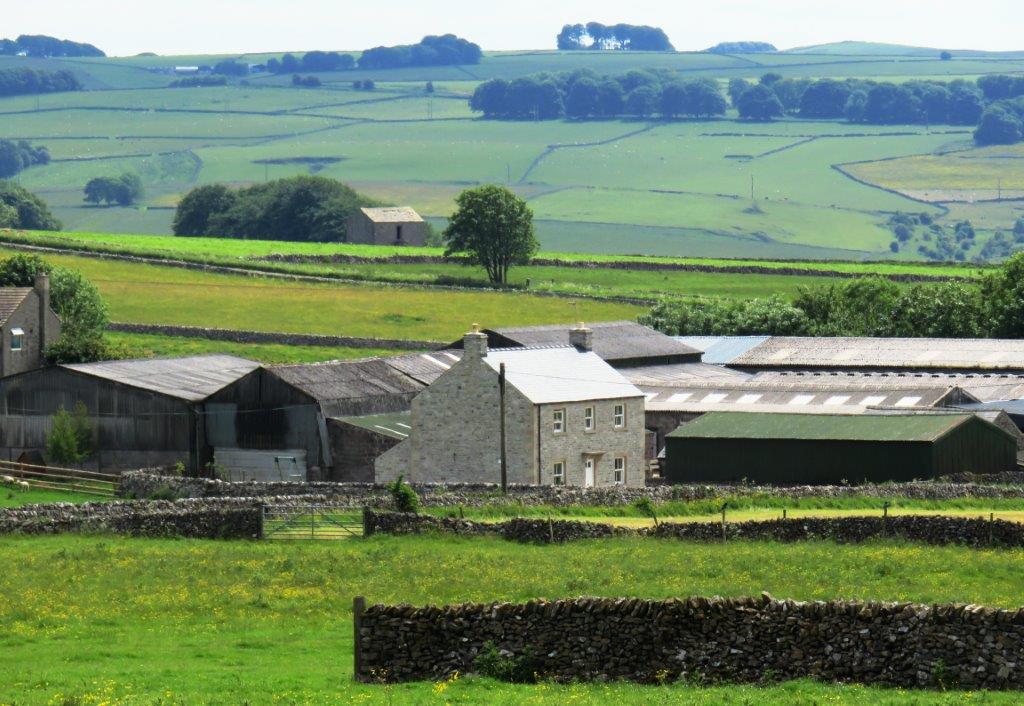
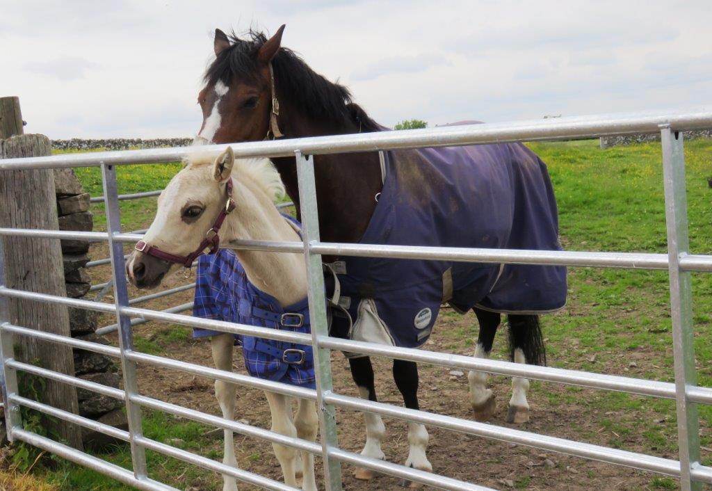
| The Hardrake Herd |
 |
 |
 |
 |
 |
 |
| entering Little Longstone |
 |
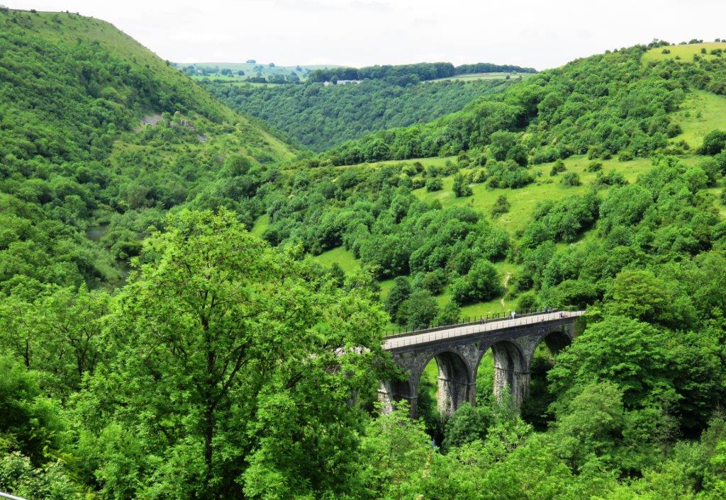 |
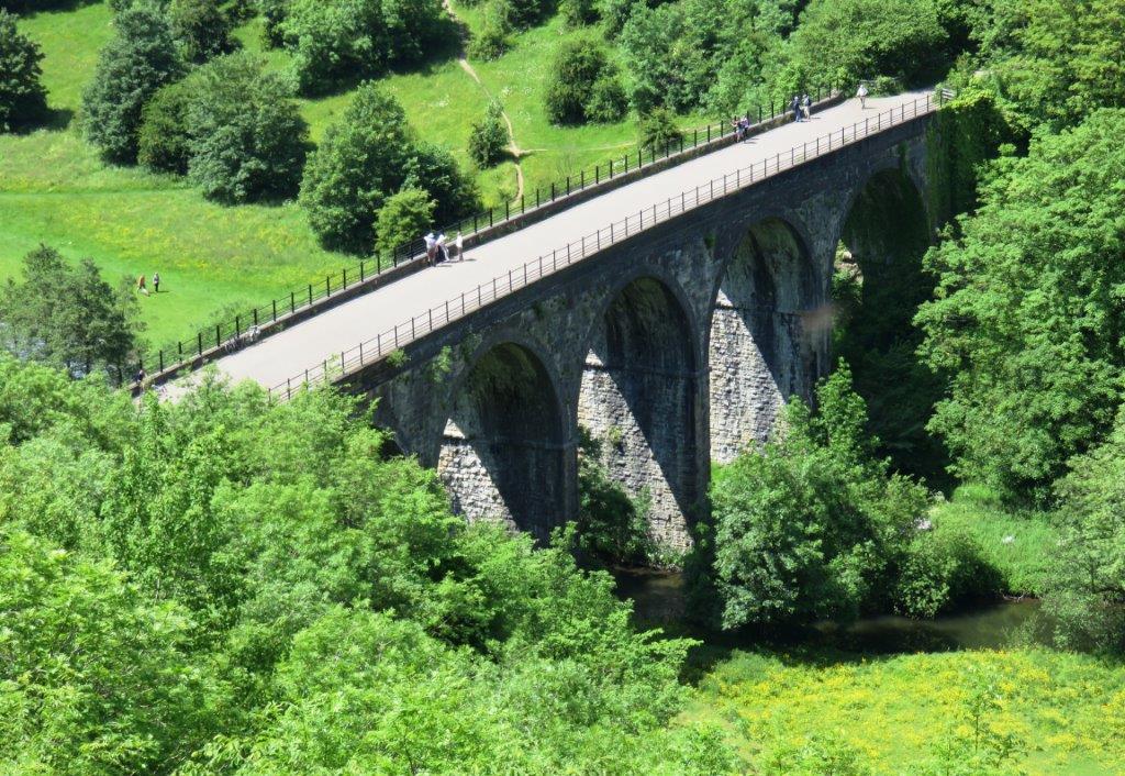
| old railway viaduct near Monsal Head - now part of Monsal Trail |
 |
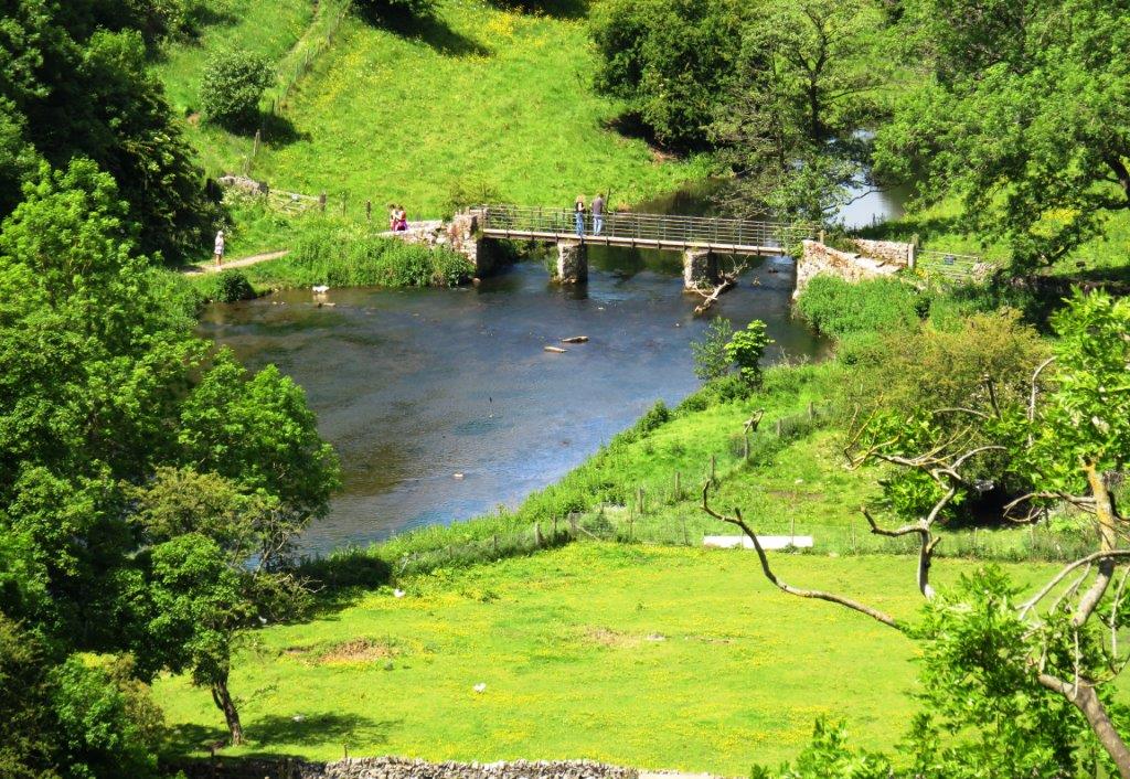 |
| footbridge over River Wye near Upperdale |
 |
 |
 |
 |
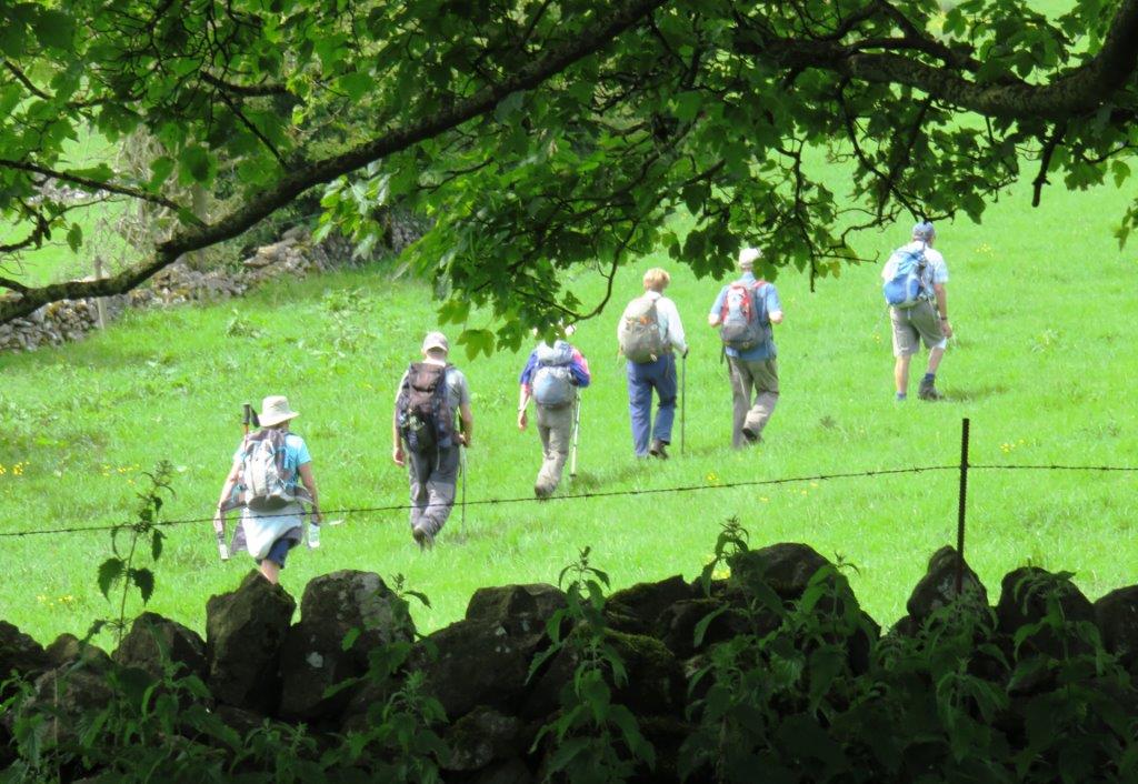
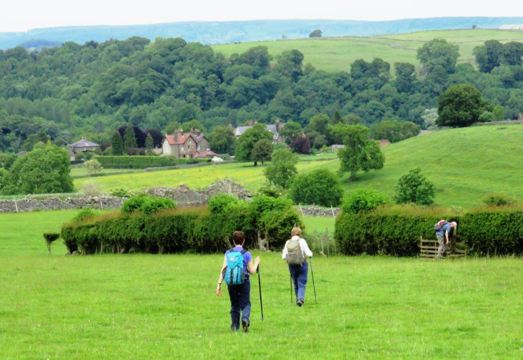
| break off by some to Ashford in Water |
 |
 |
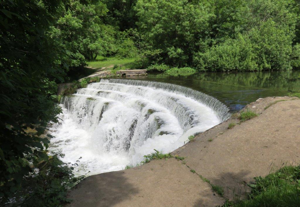 |
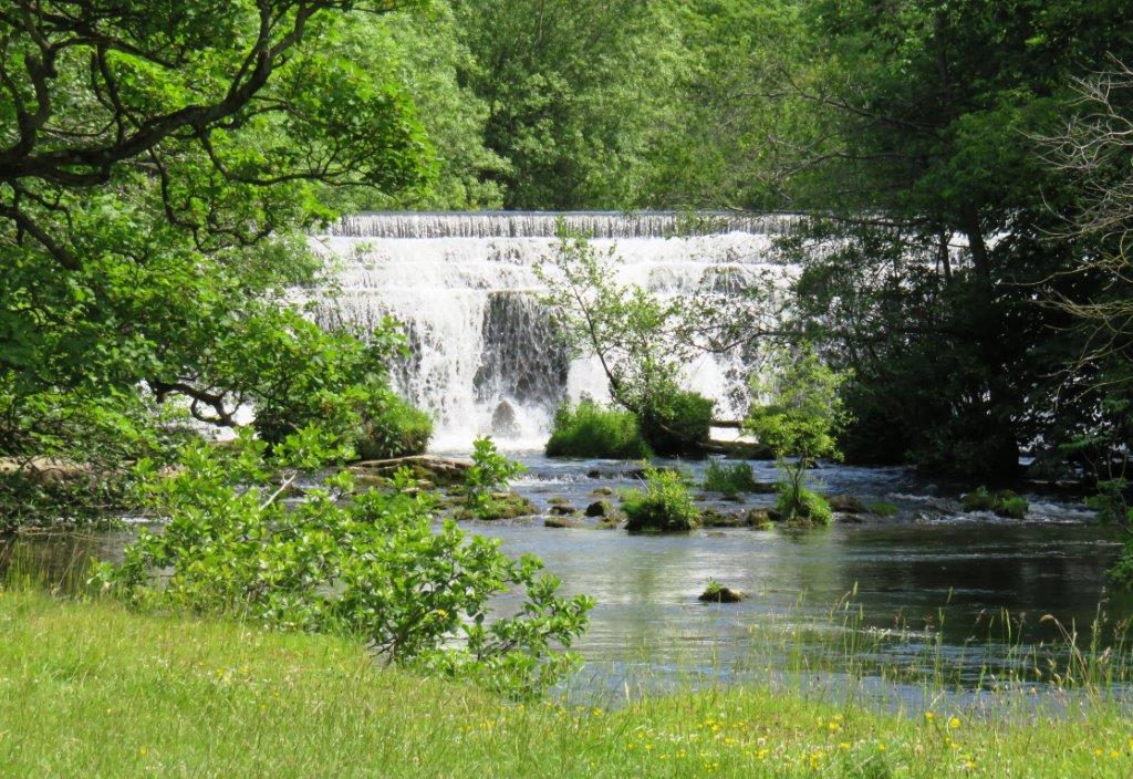
| weir on River Wye |
 |
 |
 |
 |
 |
 |
 |
| in Deep Dale |
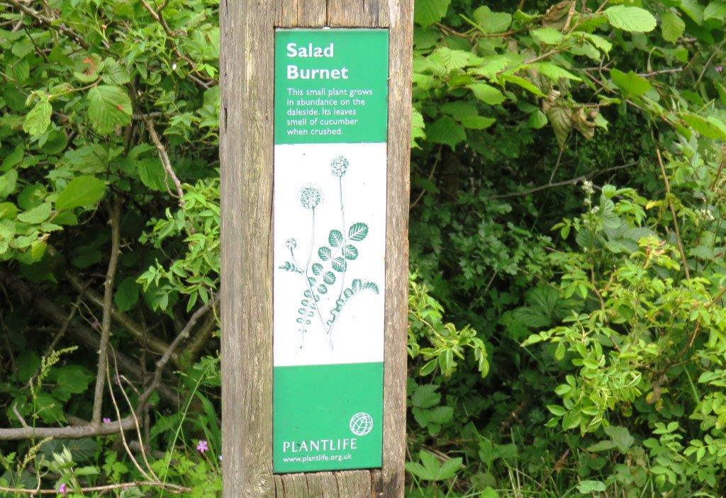 |
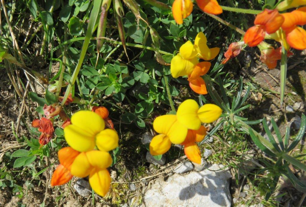
| Salad Burnet |
 |
 |
 |
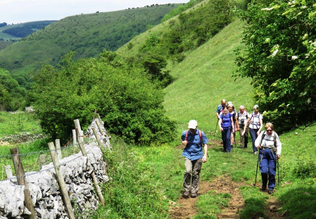
| climbing out of Deep Dale |
 |
 |
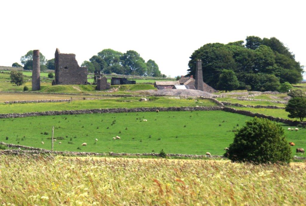 |
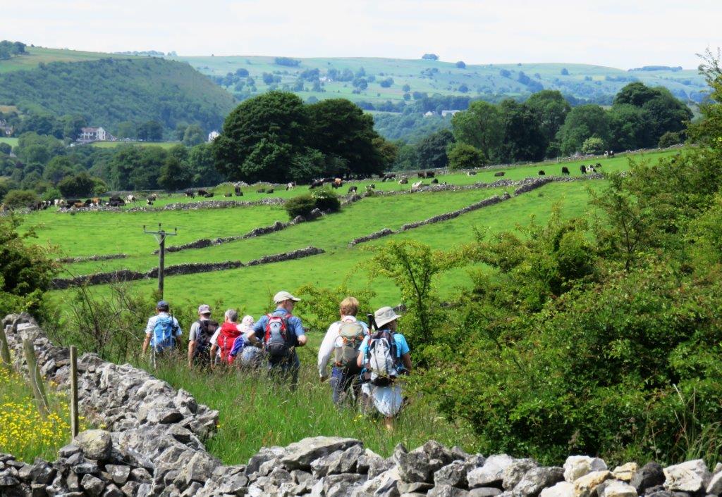
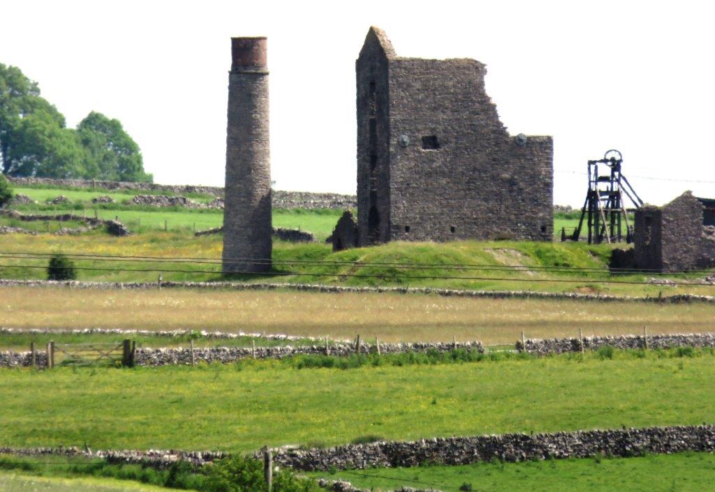
| Magpie Mine seen on way to Sheldon |
 |
 |
 |
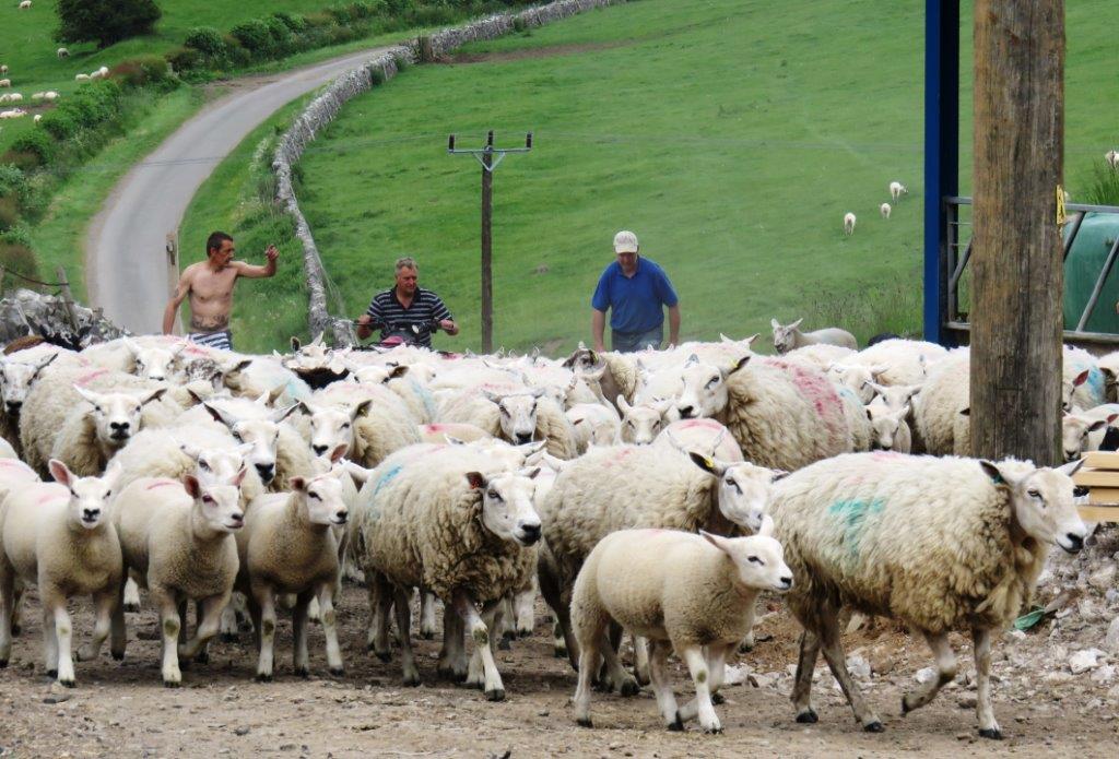 |
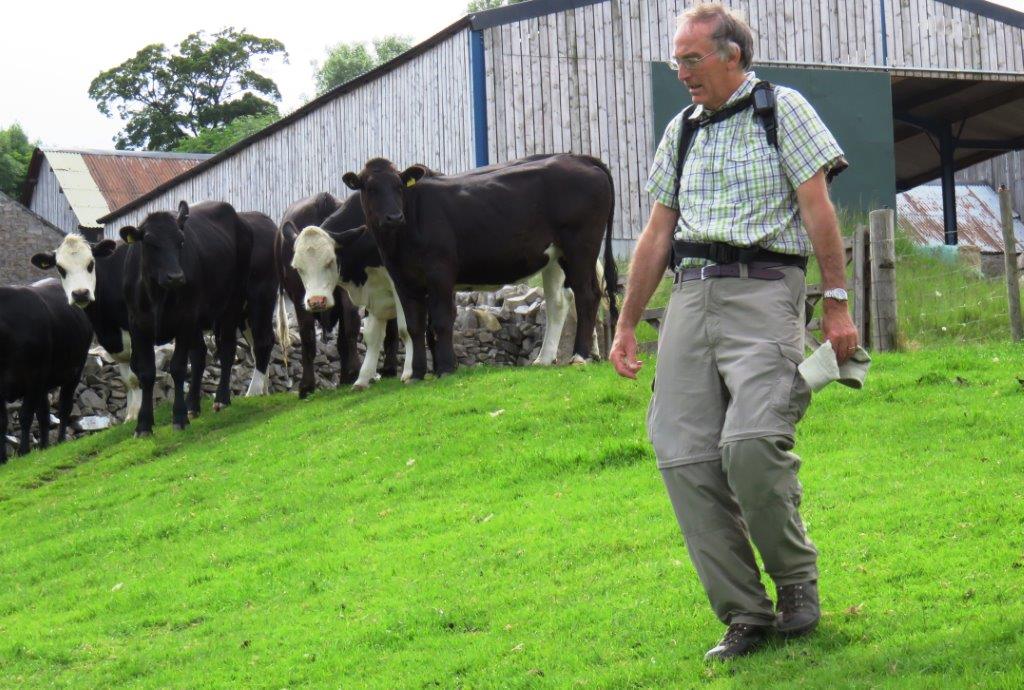
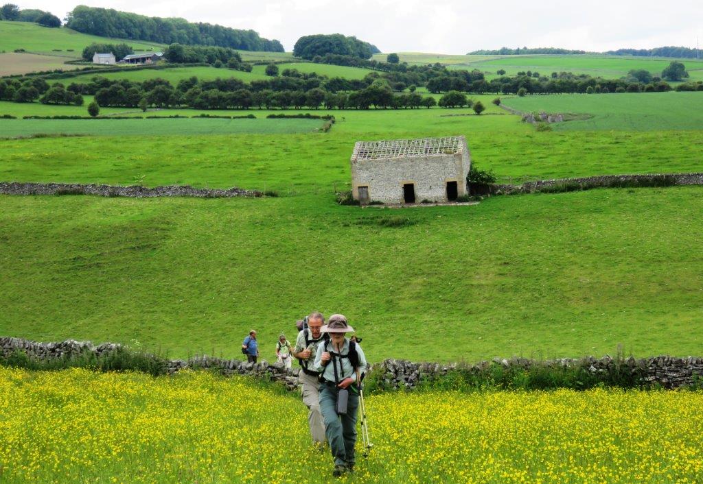
| Dirtlow Farm - sheep roundup |
 |
 |
 |
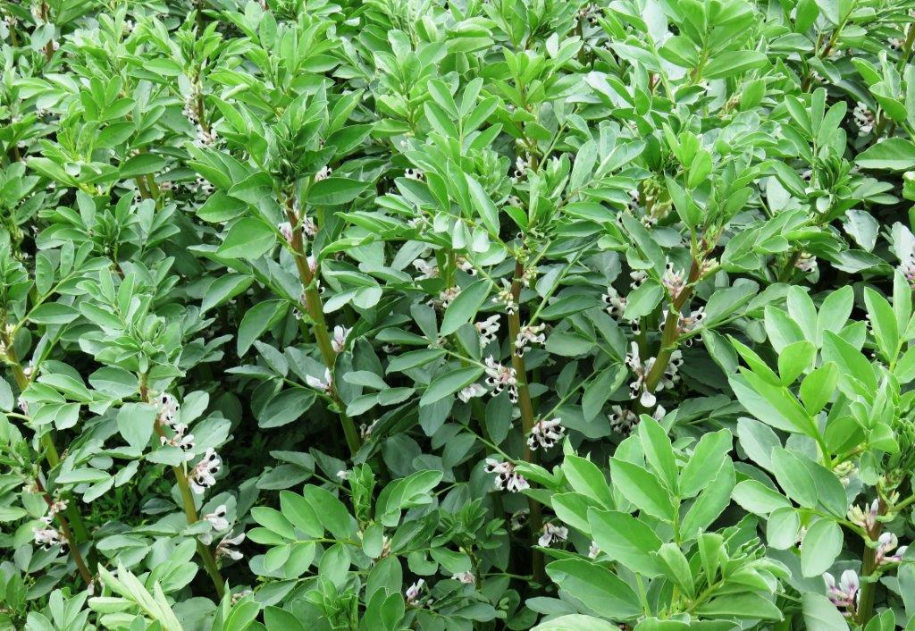 |
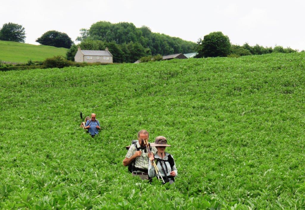
| broadbeans? |
 |
 |
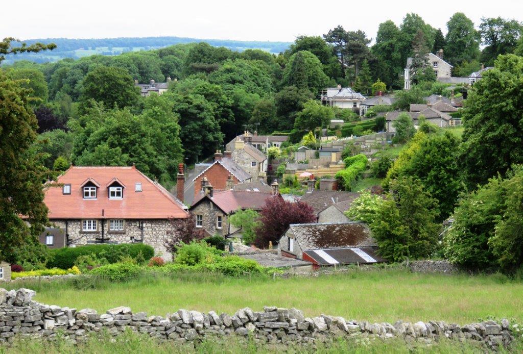 |
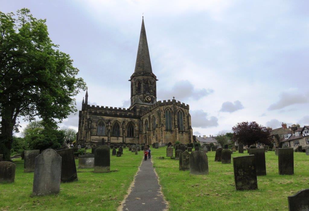
| Bakewell |
 |
 |
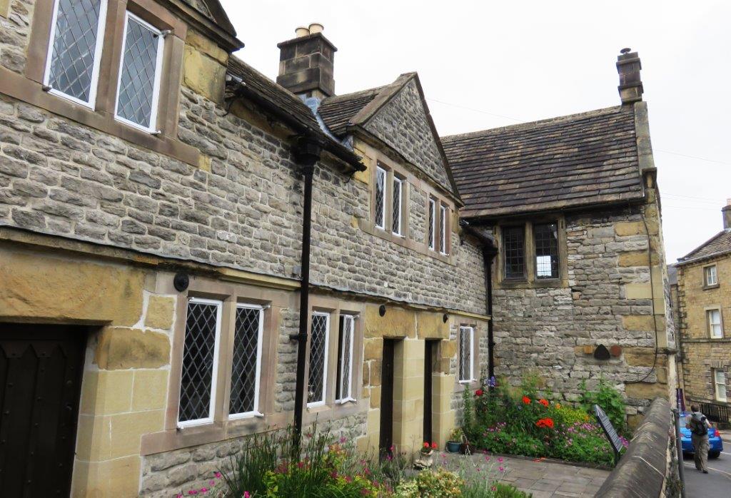 |
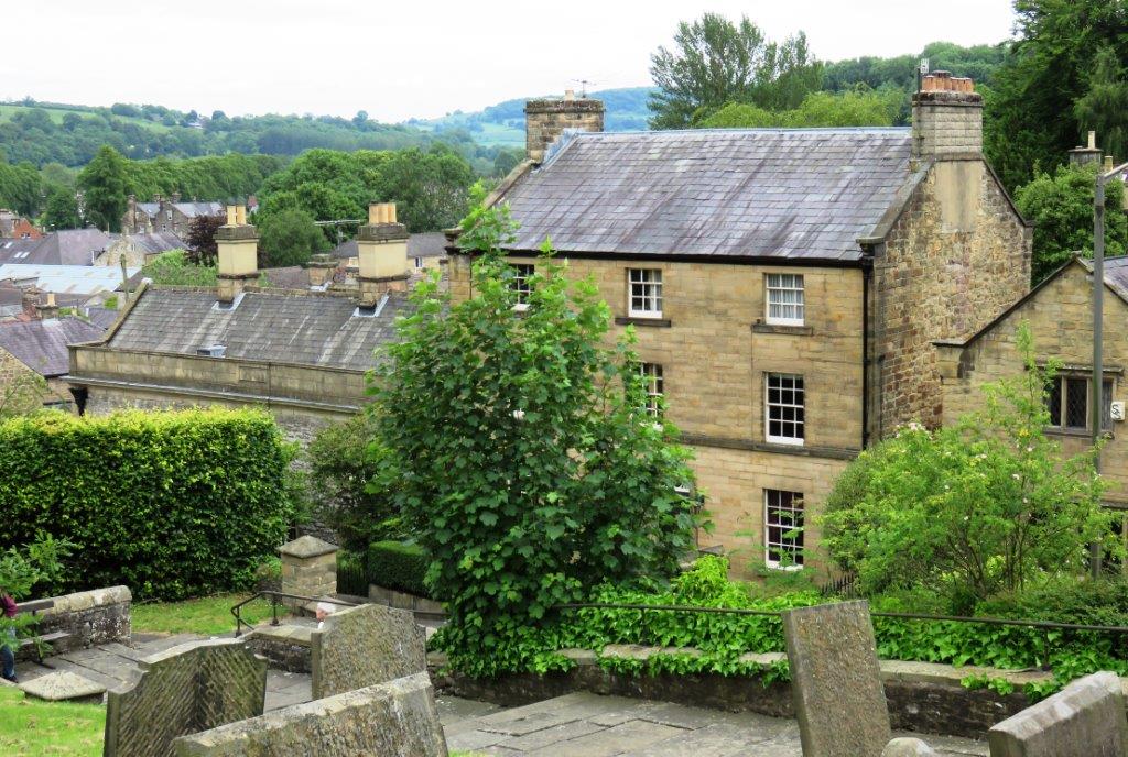
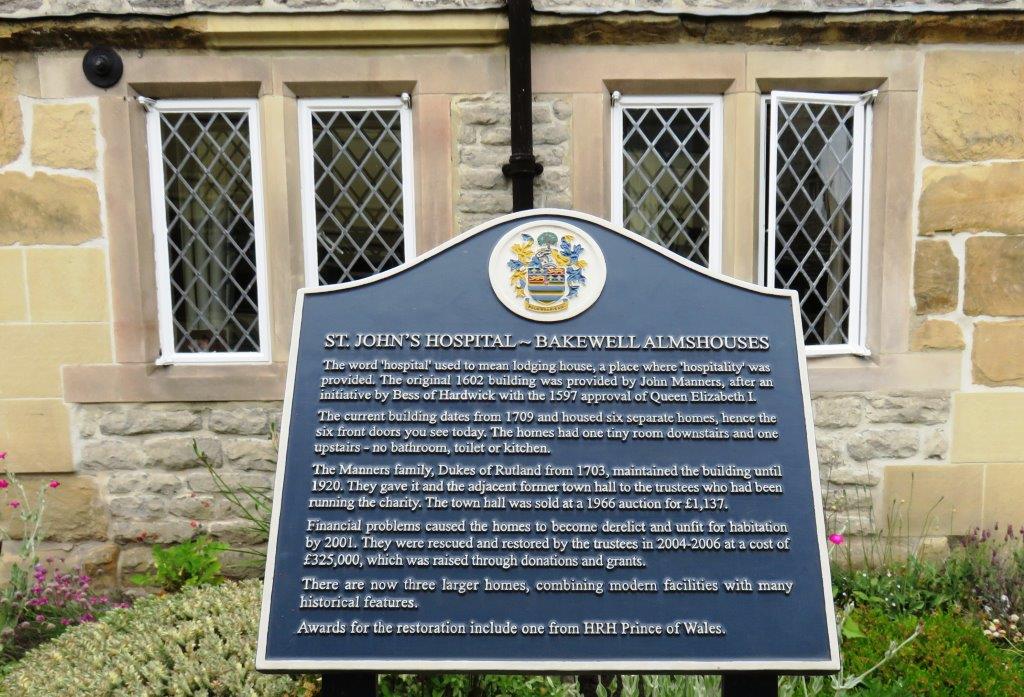
| St John's Hospital - Bakewell Almshouse |
 |
homepage - Day Walks
Index 2015 - contact me at
![]()