homepage - Day Walks
Index 2013 - contact me at
![]()
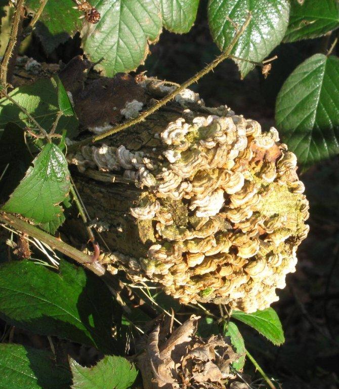
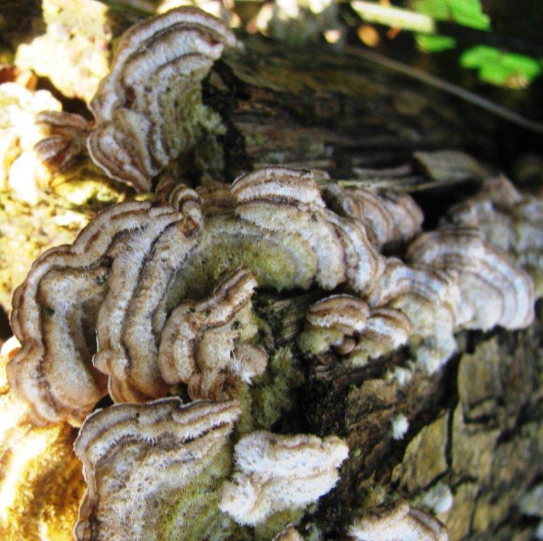
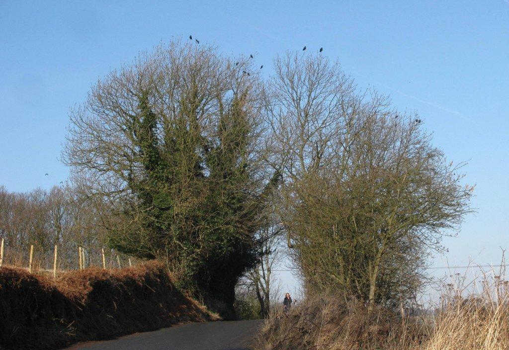
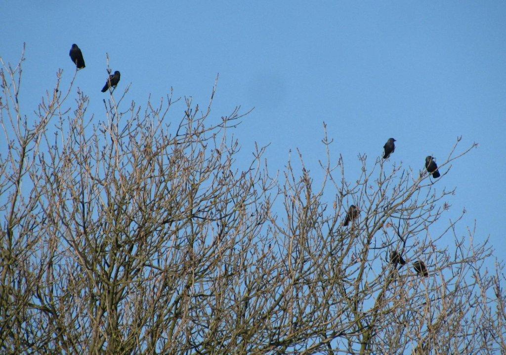
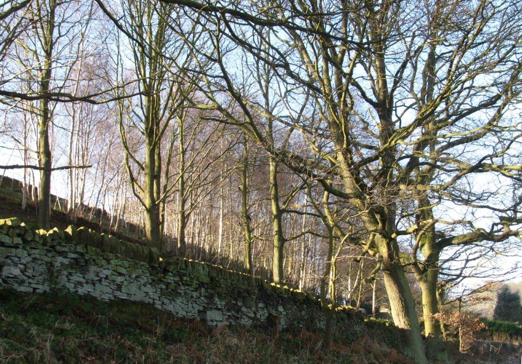
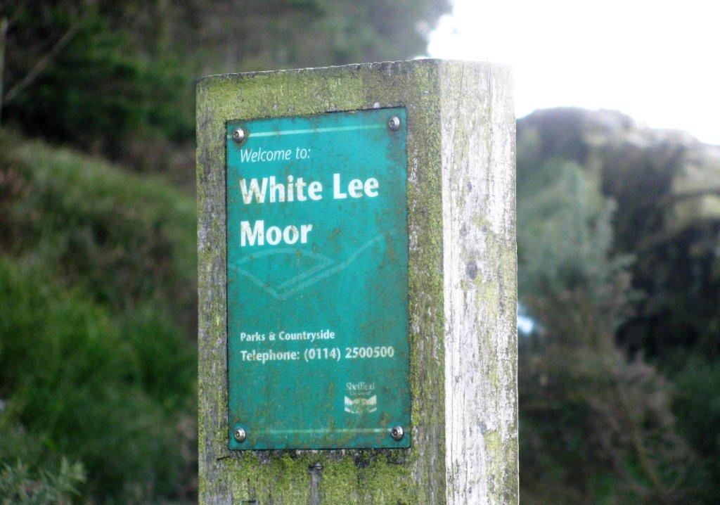
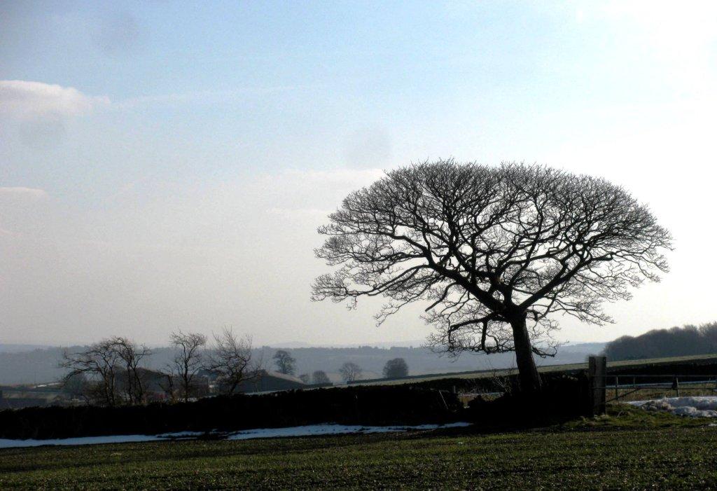
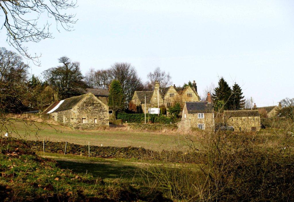
17th February 2013 ** Oughtibridge, Folderings, Spout House, Swanheight, White Lee Moor, along top of Rocher Rocks, Onesacre Road, Lumb Bush, Coldwell, Oughtibridge - Sunday
 |
|
 |
|
 |
|
 |
|
 |
|
 |
 |
 |
|
 |
|
|
|
|
 |
|
 |
|
 |
|
 |
 |
 |
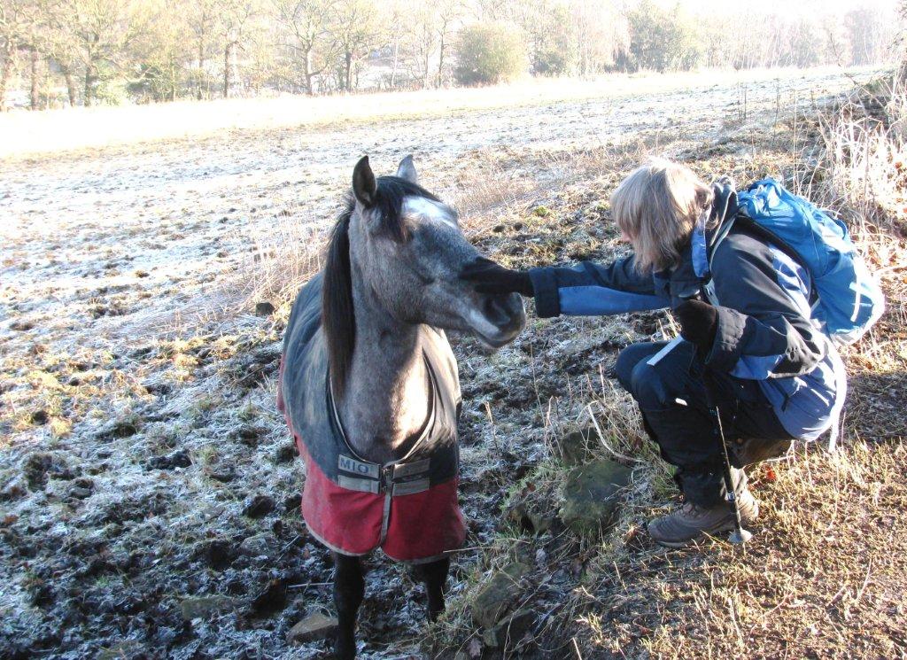
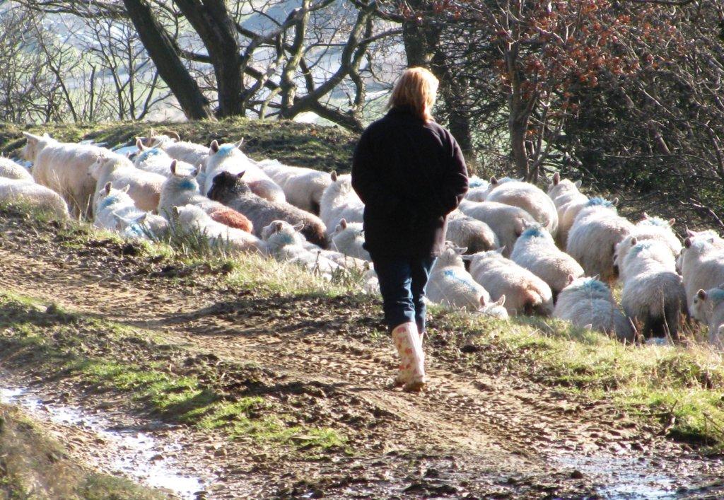
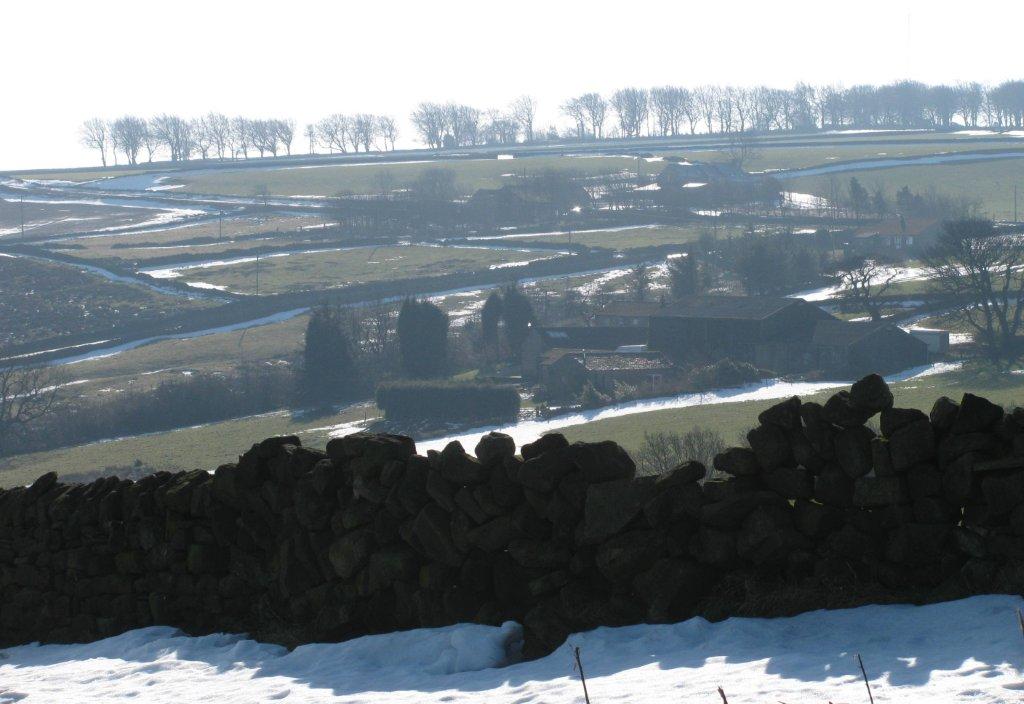
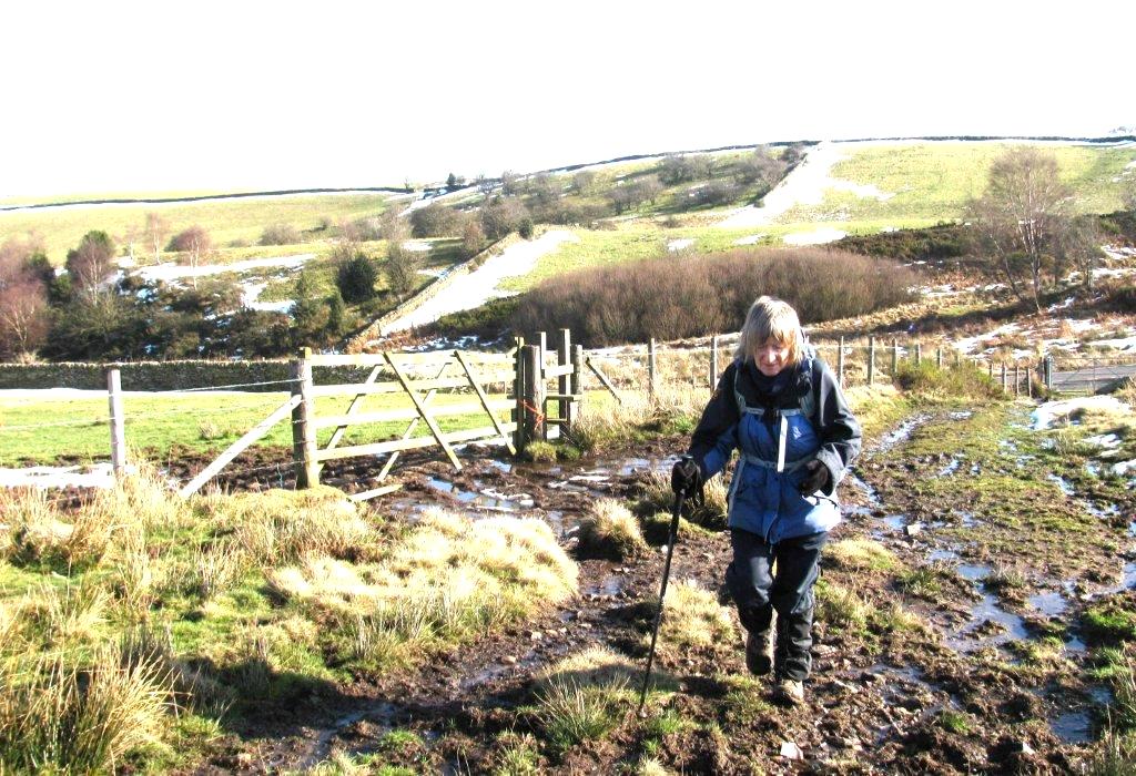
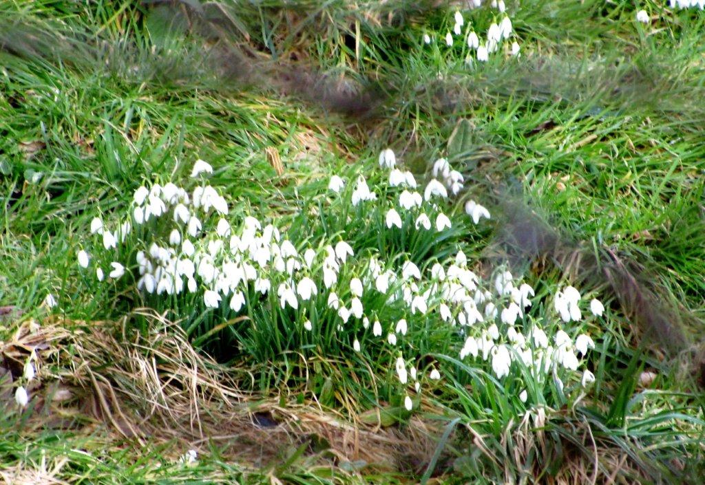
| round up near Spout House |
 |
 |
 |
 |
 |
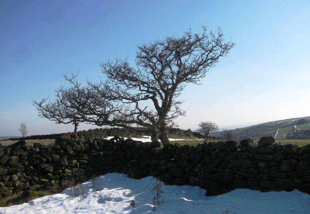
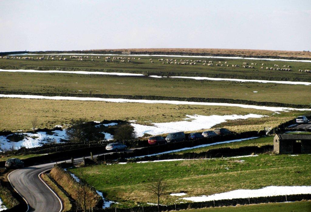
| Onesacre Road on skyline - return route |
 |
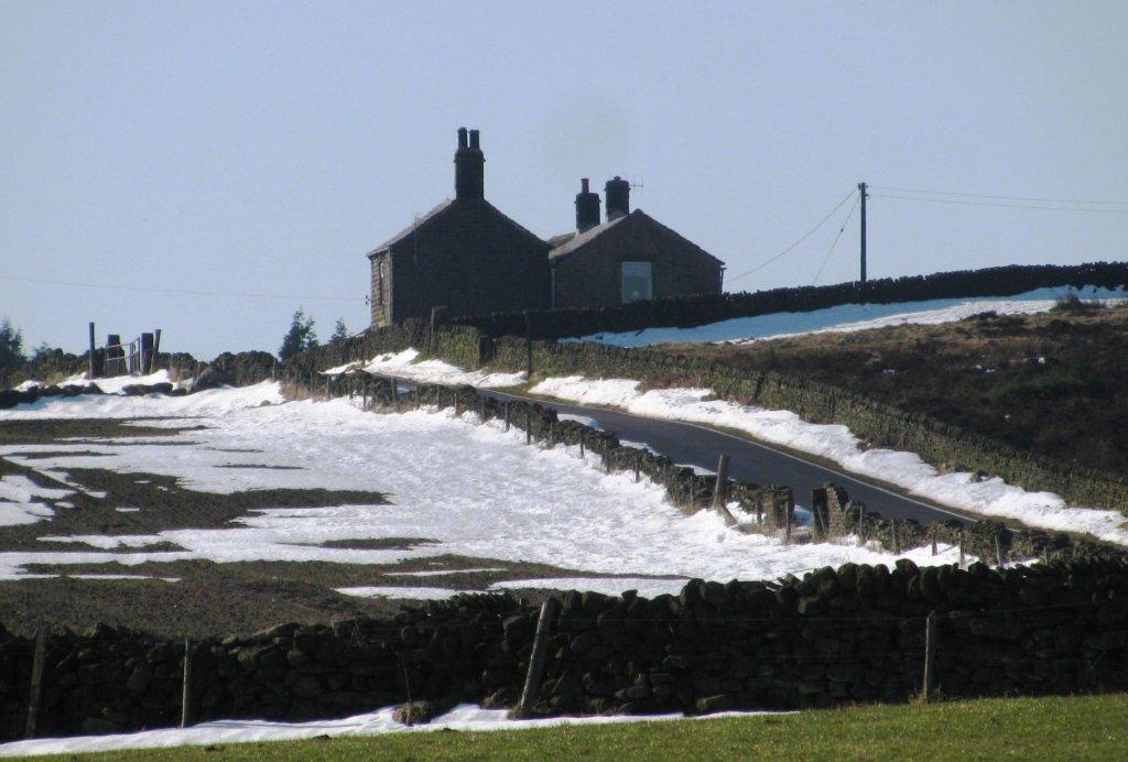 |
| House near radio transmission station above Swanheight |
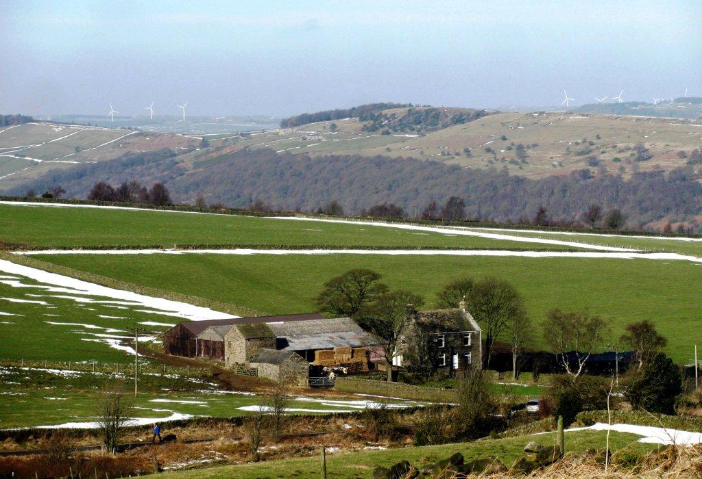 |
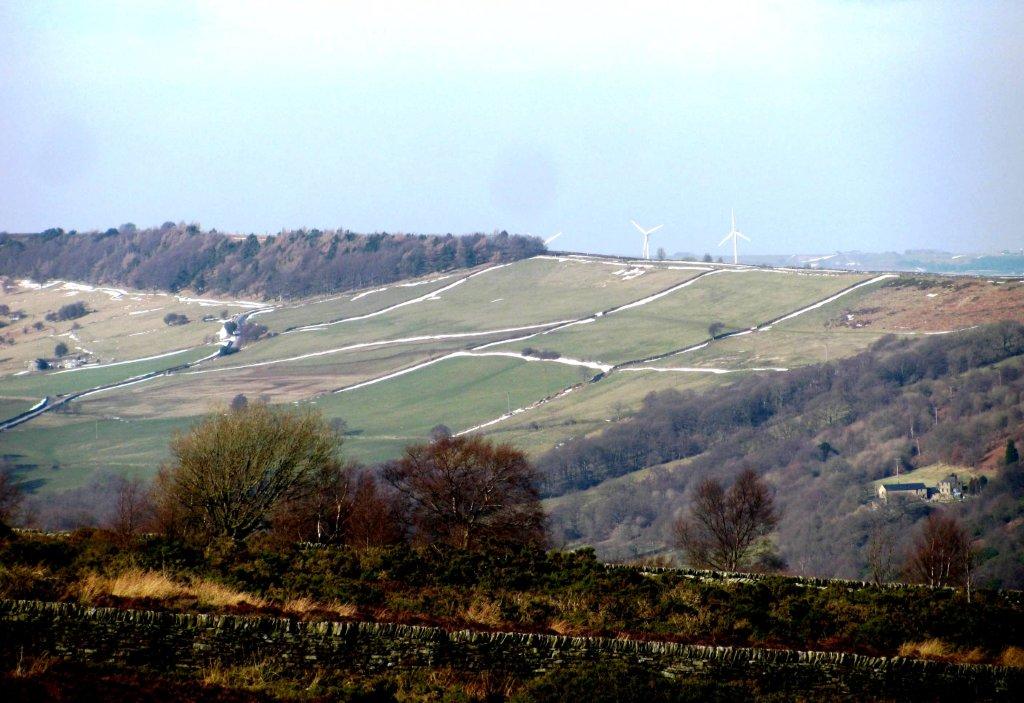
| wind turbines in Penistone direction |
 |
 |
| crossing open access land - Swanheight |
 |
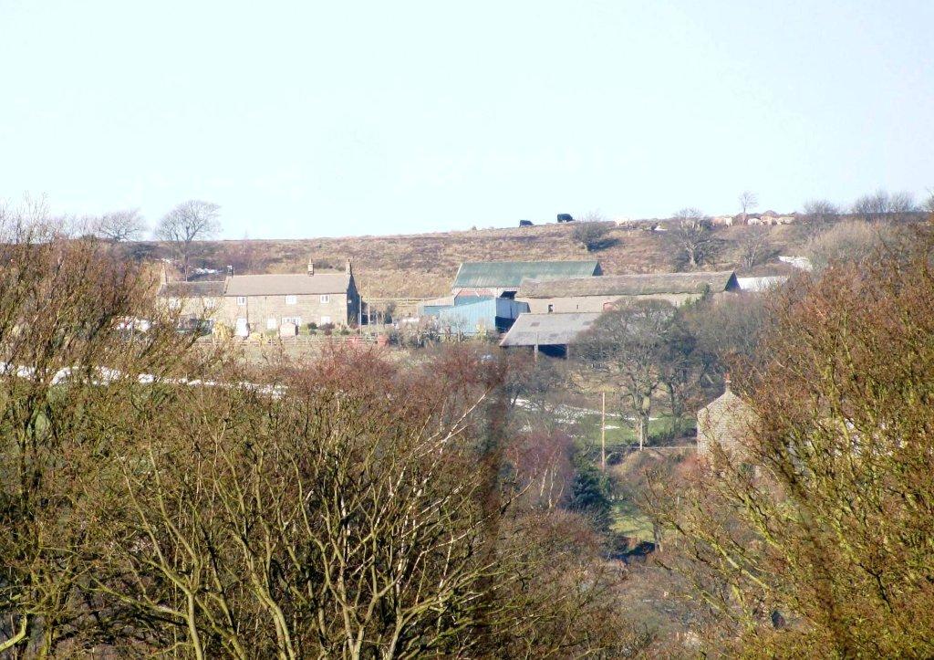
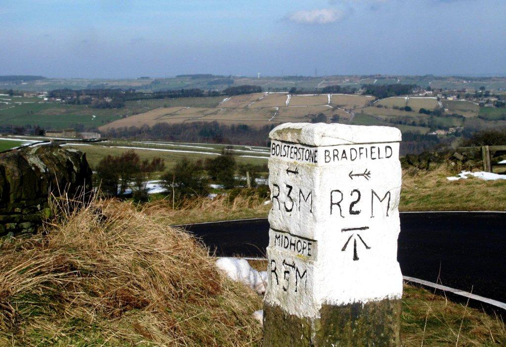
| Bolsterstone at back |
 |
 |
| Emirates? |
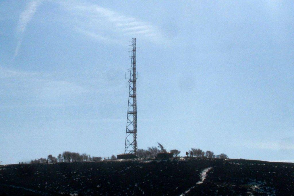 |
| Radio transmission mast |
 |
| Salt Springs wood |
 |
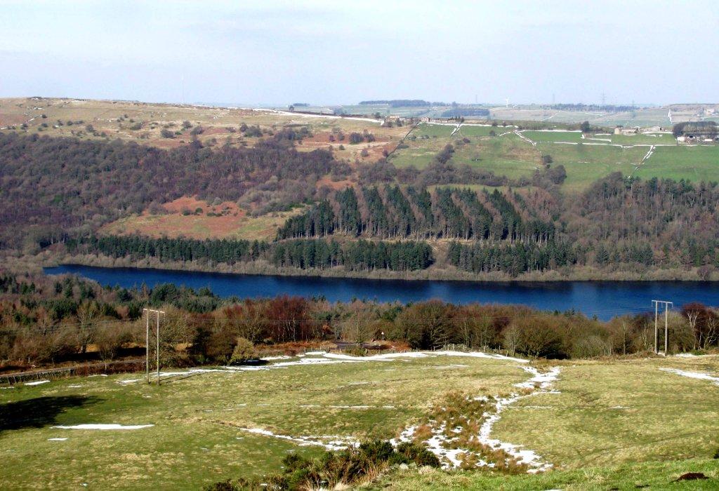 |
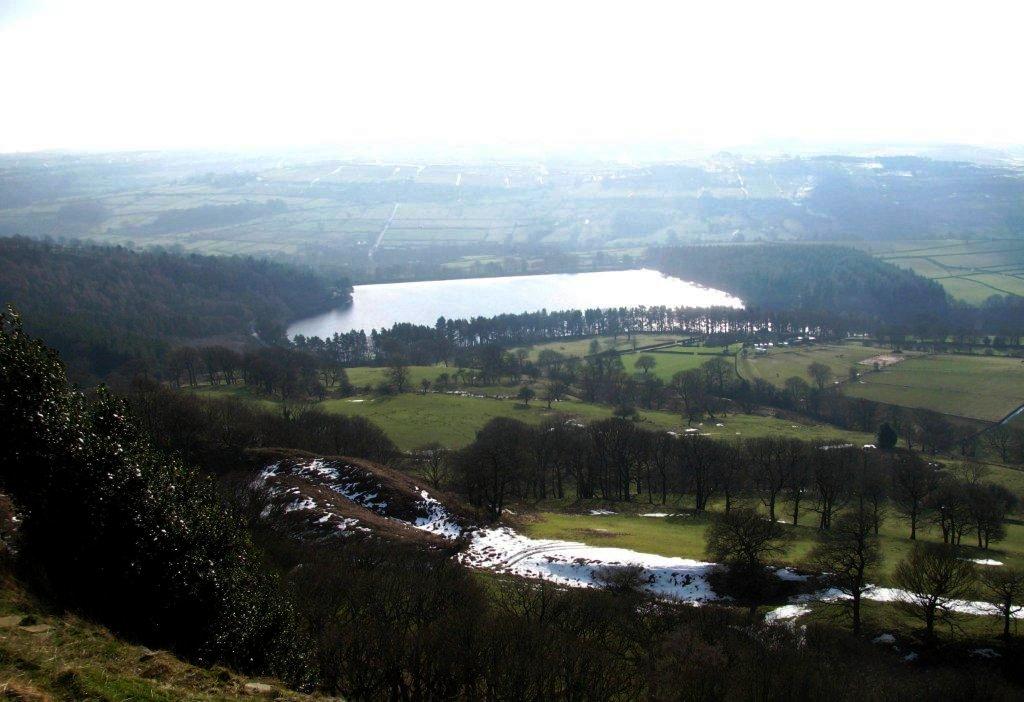
| Broomhead Reservoir |
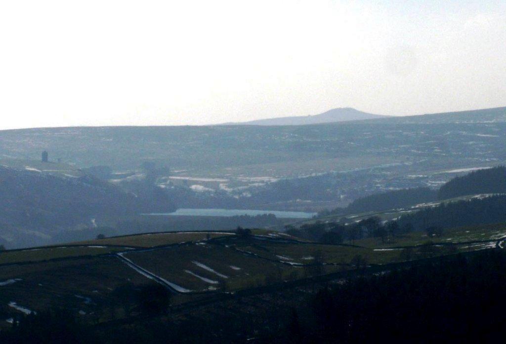 |
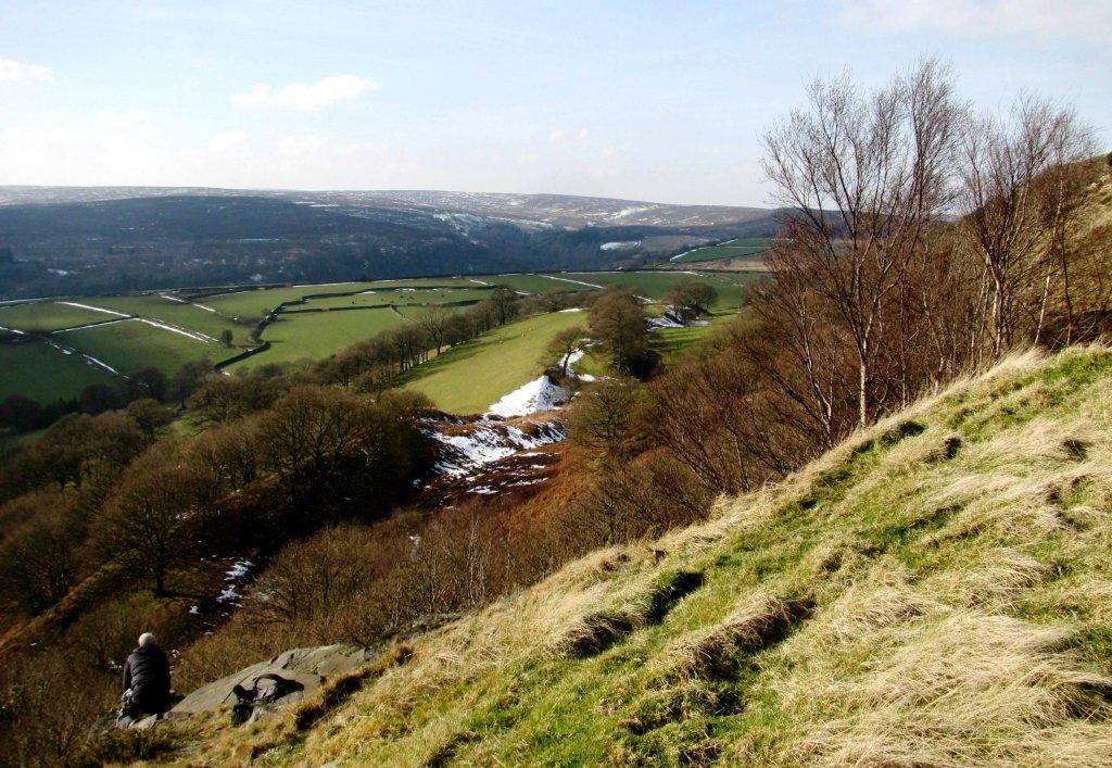
| Win Hill behind, Strines Reservoir in middle |
 |
 |
 |
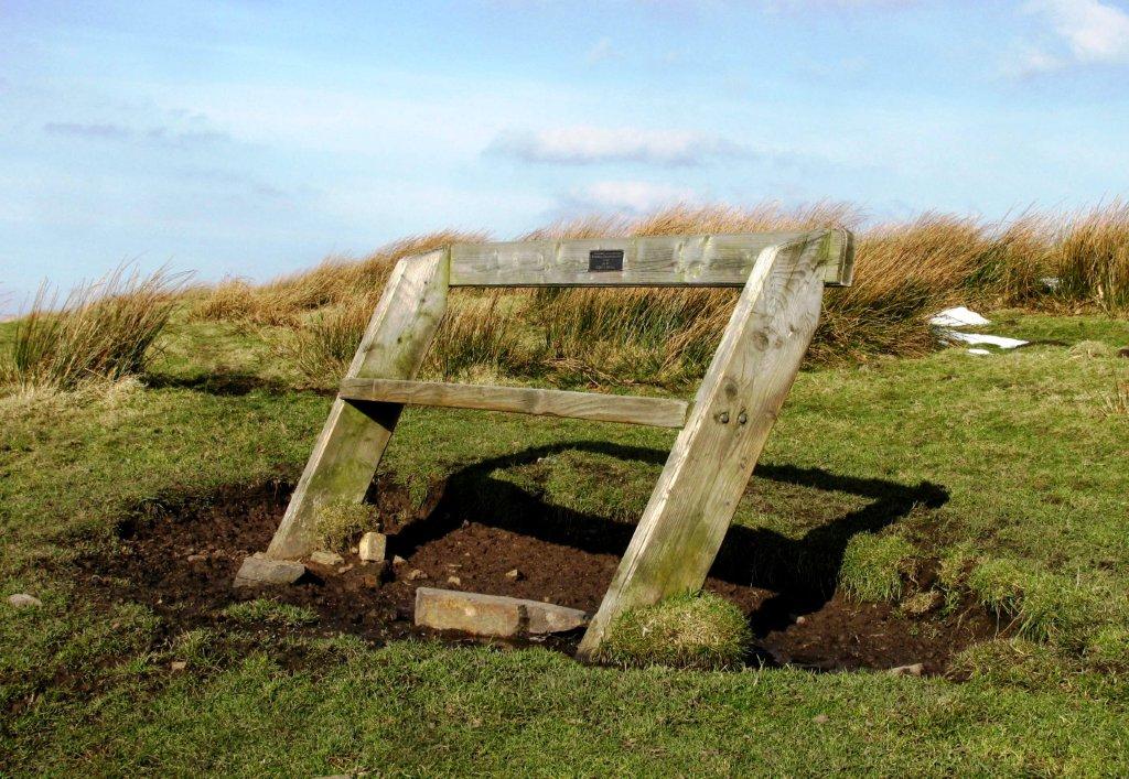 |
| bench just before top of Rocher Rocks |
 |
| Agden Reservoir |
 |
| above Rocher Rocks |
 |
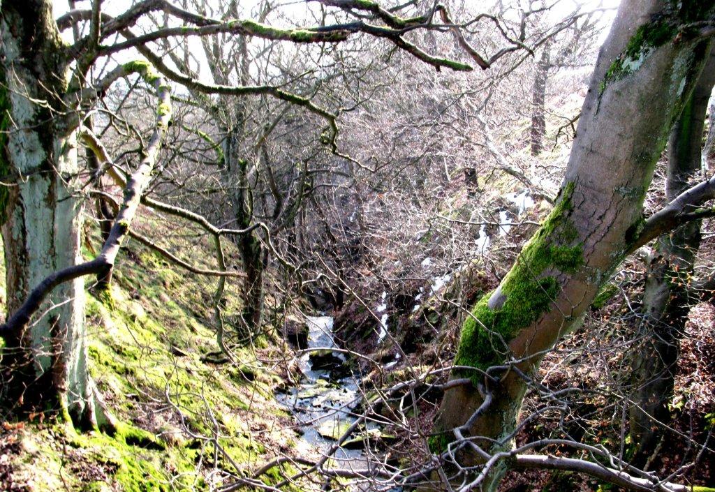 |
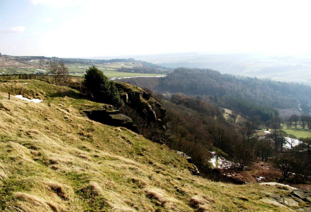
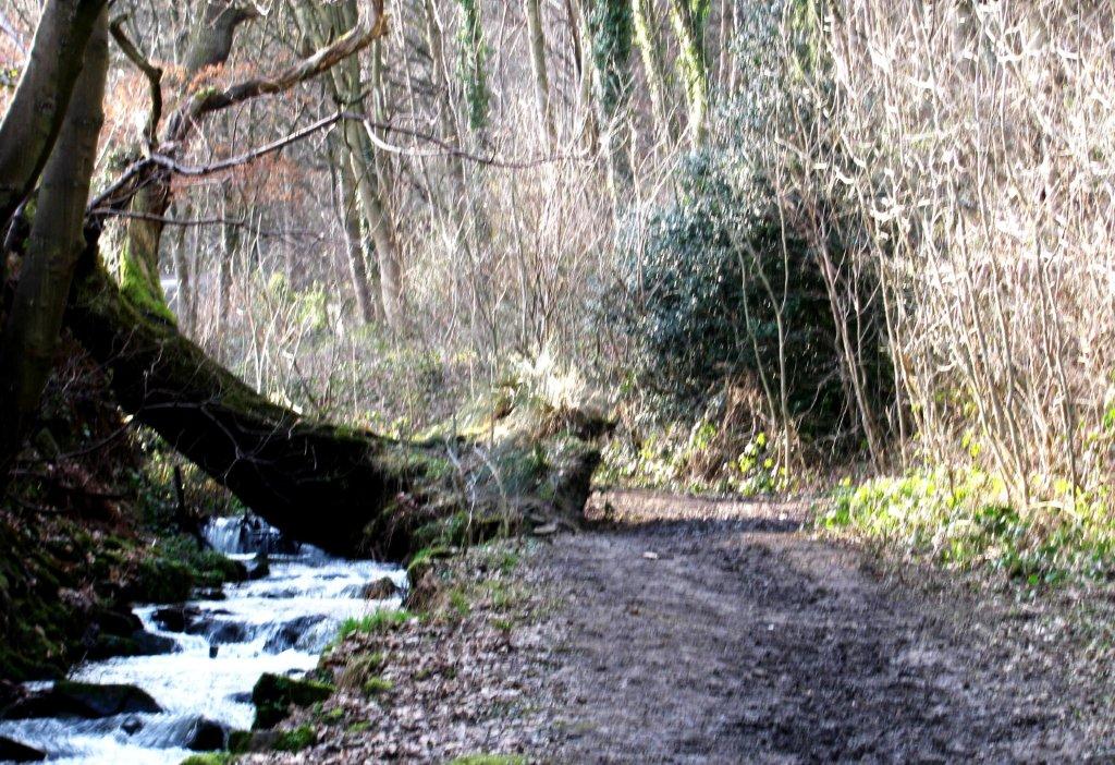
| looking down Rocher End Brook |
 |
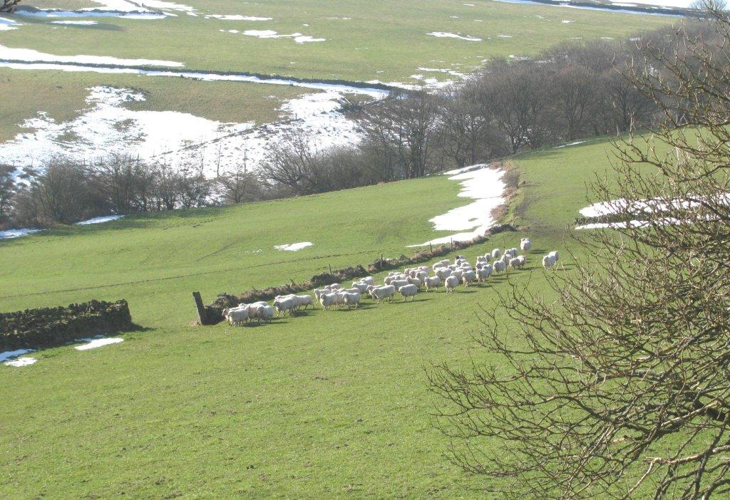
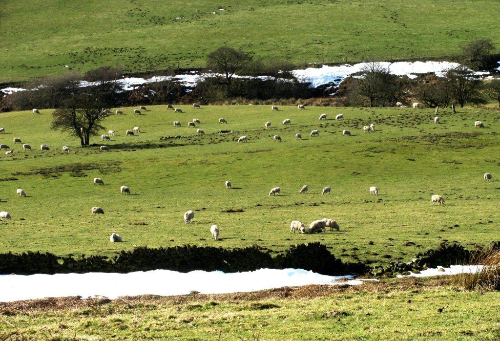
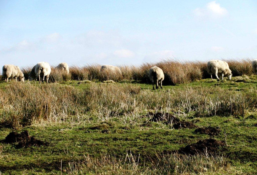
| sheep lined up for review? - eating food spread by farmer |
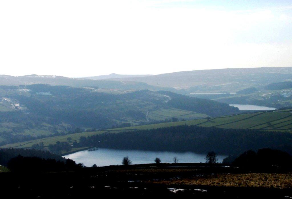 |
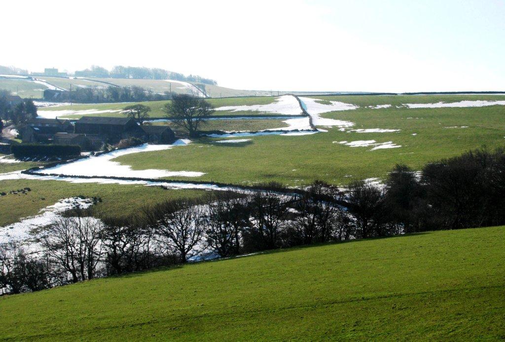
| Agden Reservoir, Dale Dike Reservoir, Strines Reservoir - Win Hill at back |
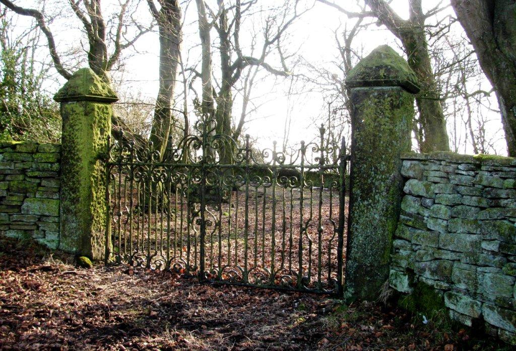 |
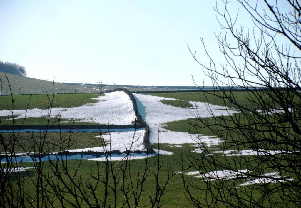
| gates on Onesacre Road |
 |
 |
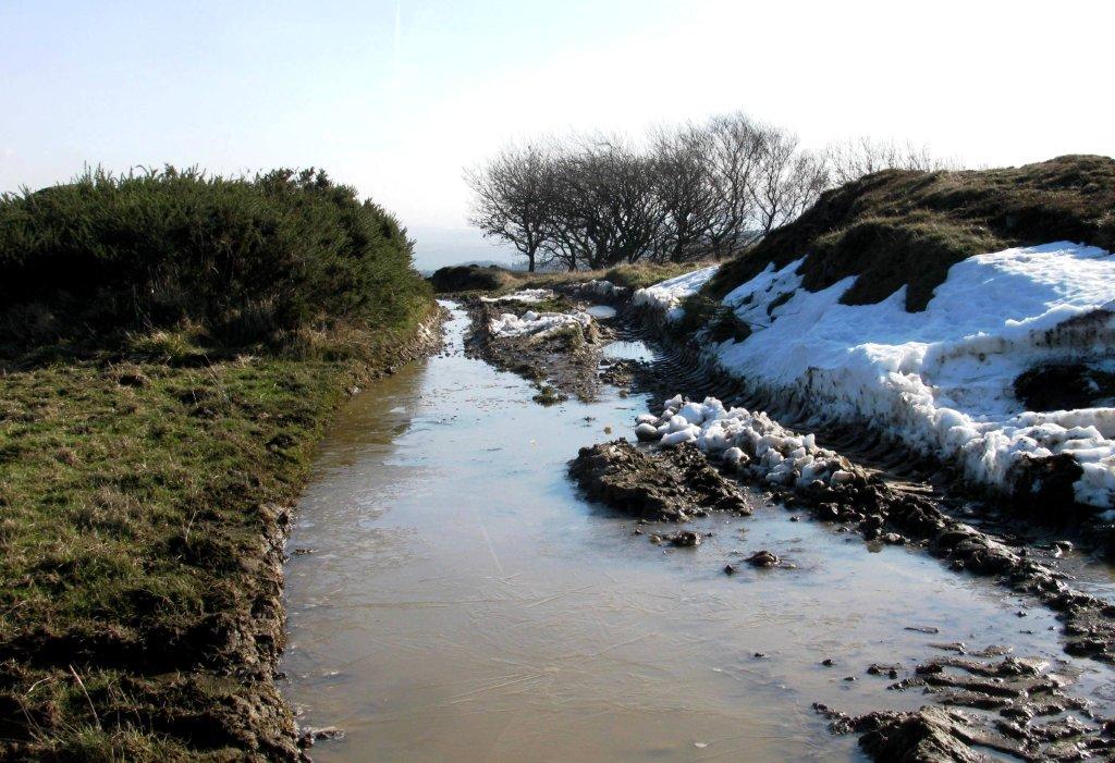
| down to Lumb Bush |
 |
 |
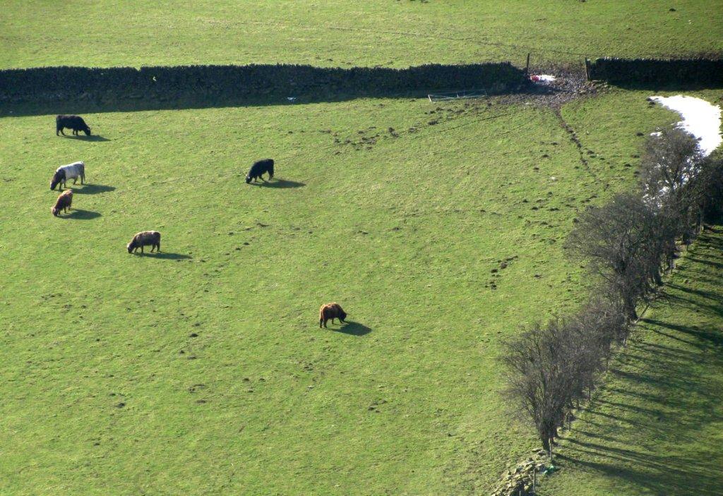
| Lumb Bush |
 |
| Onesacre |
 |
 |
homepage - Day Walks
Index 2013 - contact me at
![]()