homepage - Day Walks
Index 2013 - contact me at
![]()
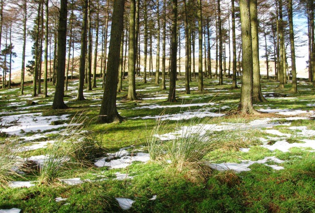
27th January 2013 - ** Fairholmes to Slippery Stones - around Upper Derwent & Howden Reservoirs - Sunday
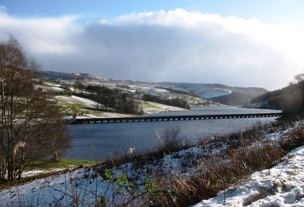 |
| Water pipeline (south of Faiholmes), from Derwent Reservoir crossing Ladybower Reservoir |
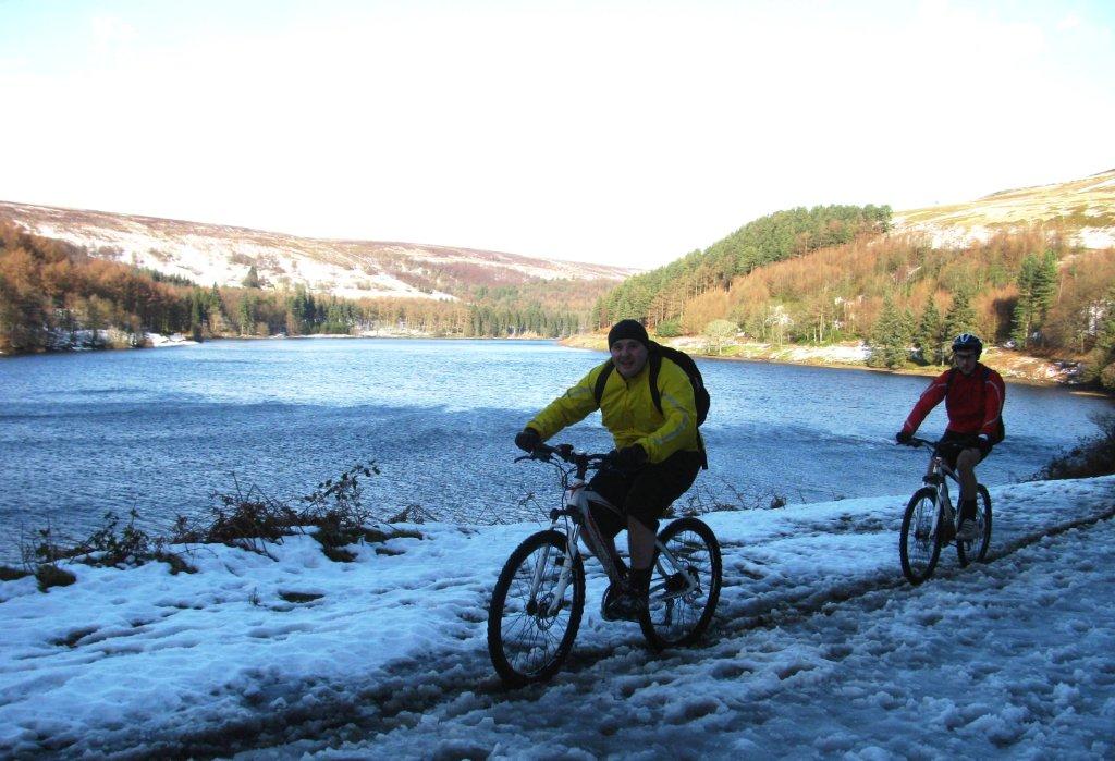 |
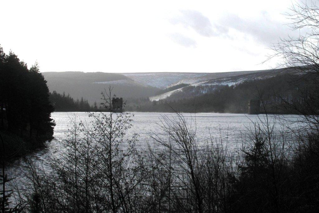
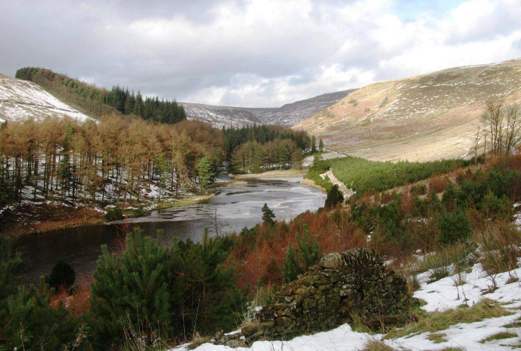
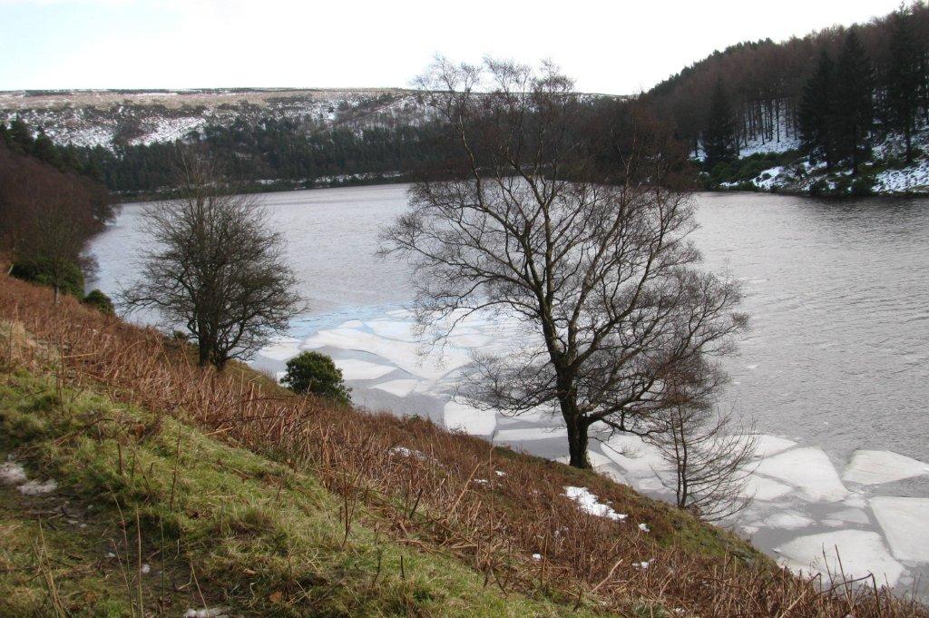
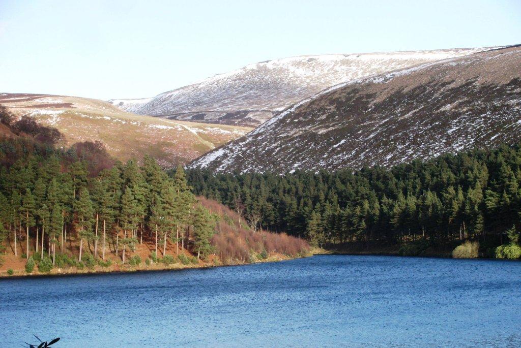
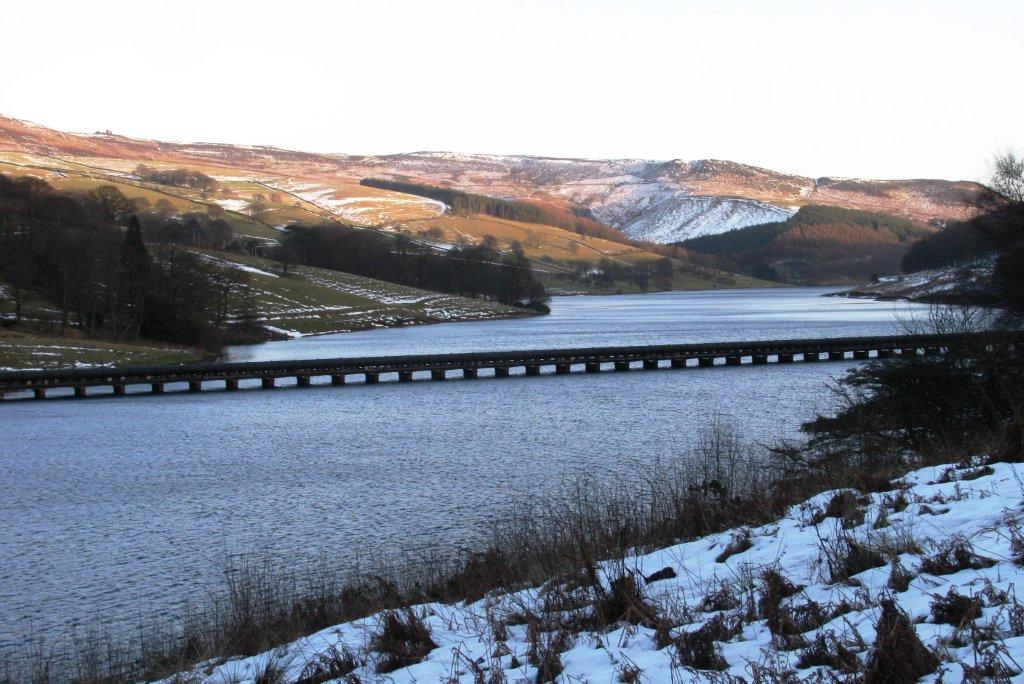
| east edge of Derwent Reservoir |
 |
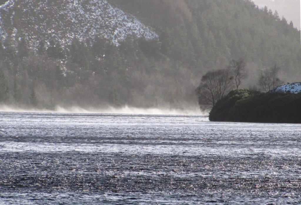
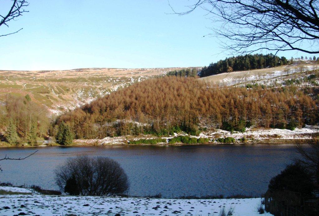
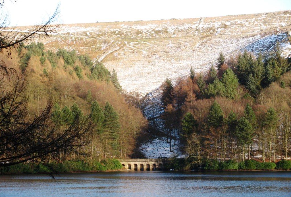
| Howden Reservoir overflowing into Derwent Reservoir |
 |
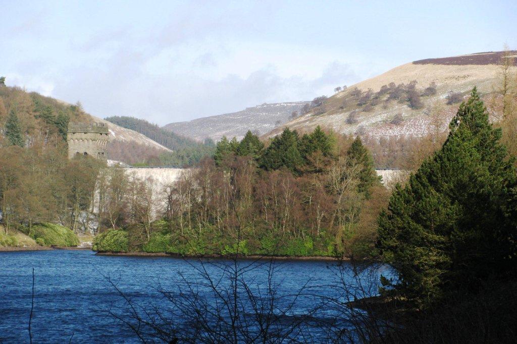
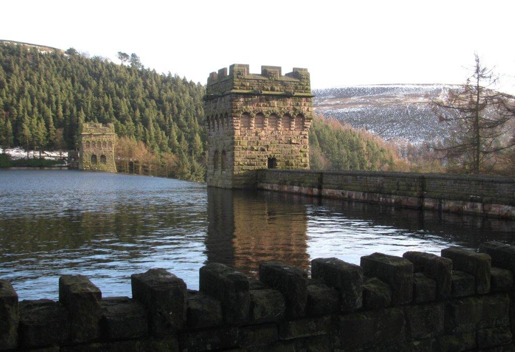
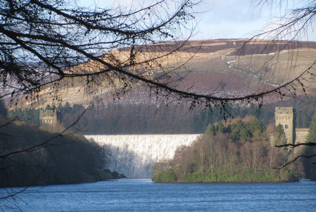
| Howden Dam |
 |
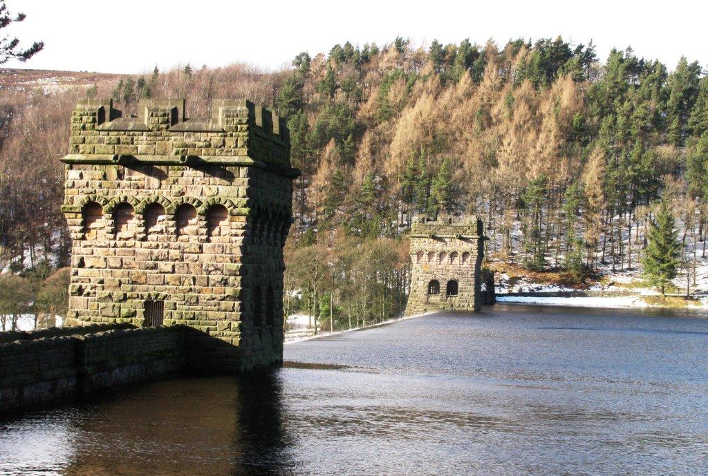
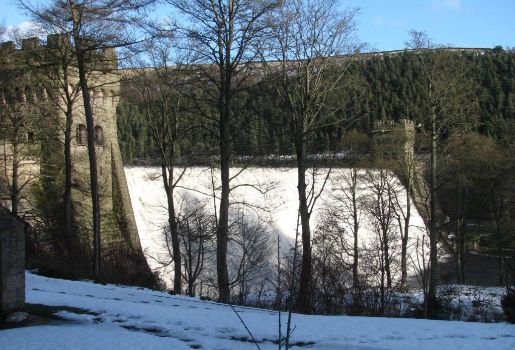
| looking back at Howden Dam |
 |
 |
 |
 |
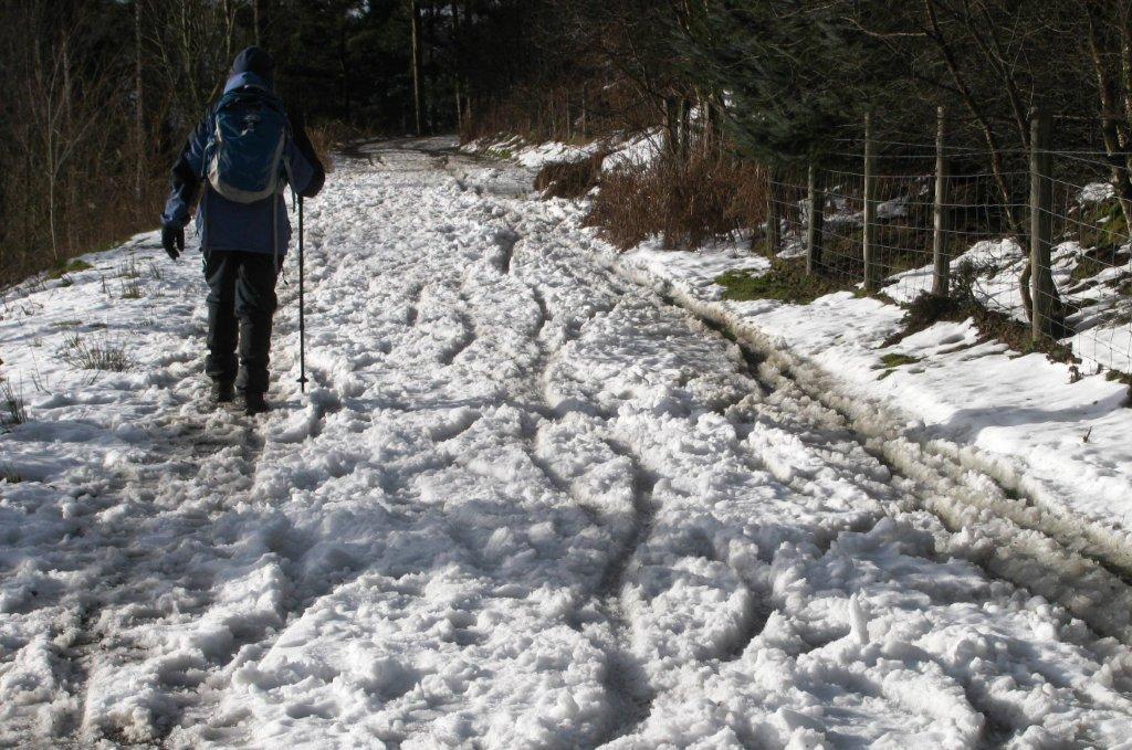
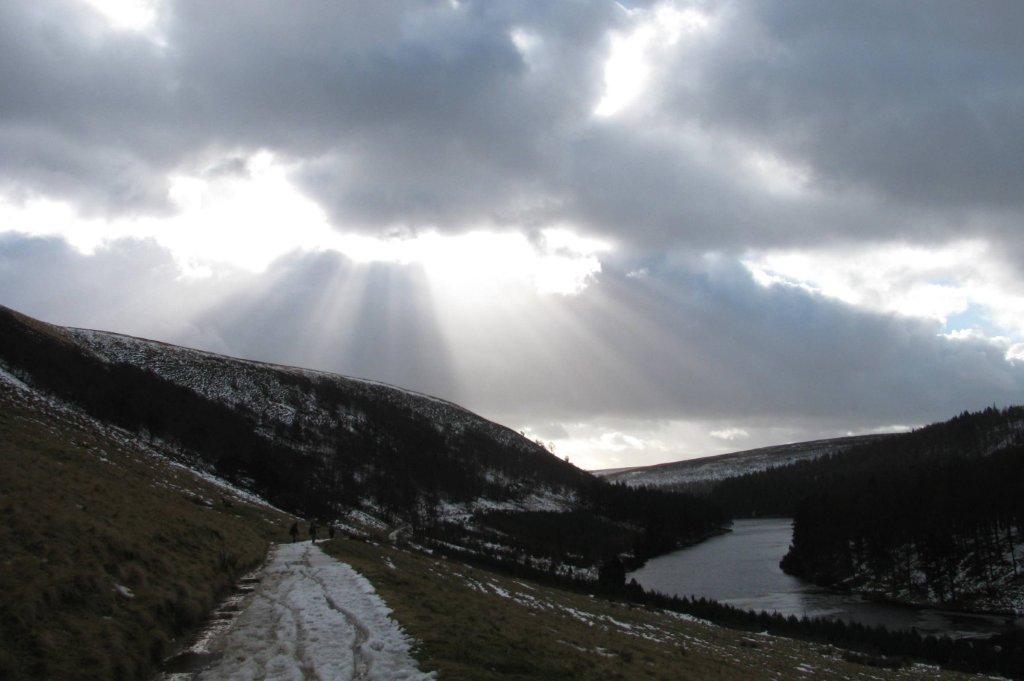
| route towards Slippery Stones |
 |
| looking south into the Sun |
 |
 |
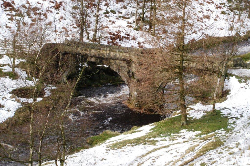 |
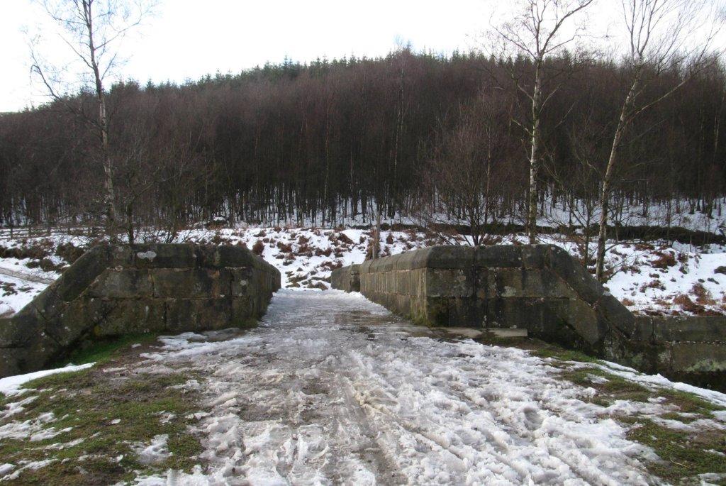
| Packhorse bridge - re - erected at Slippery Stones |
 |
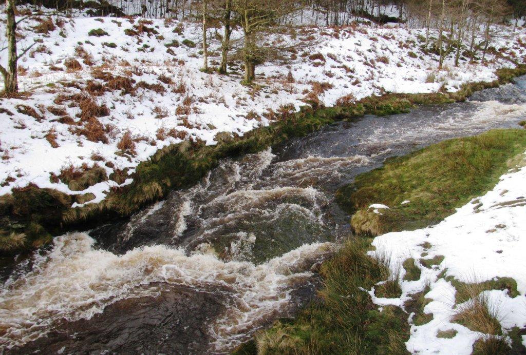 |
| The River Derwent just above the bridge |
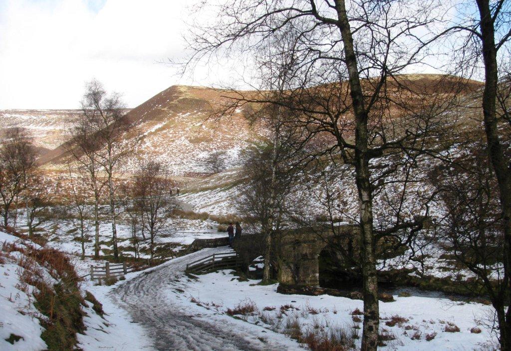 |
| looking back at the bridge |
 |
 |
| blow back at Howden Dam |
 |
 |
| looking north |
 |
 |
| Howden Dam from the west side |
 |
| Howden dam |
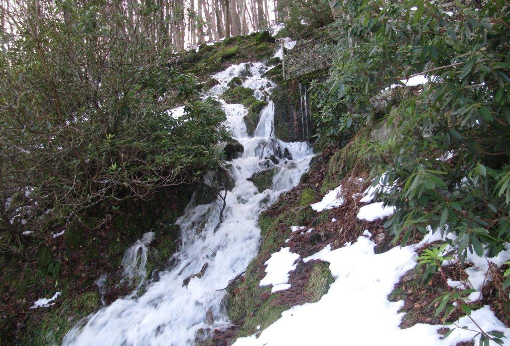 |
| stream just below Howden Dam |
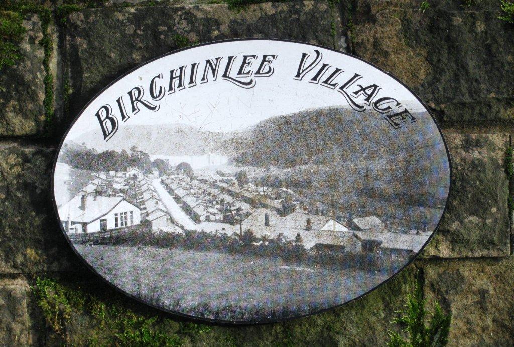 |
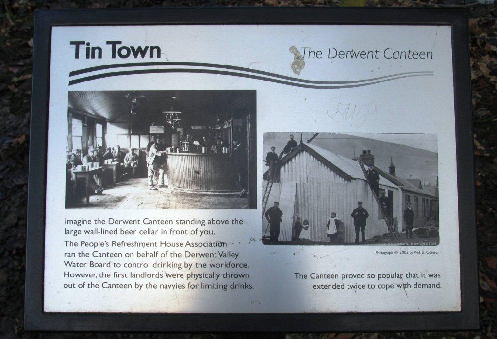
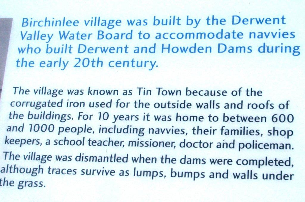
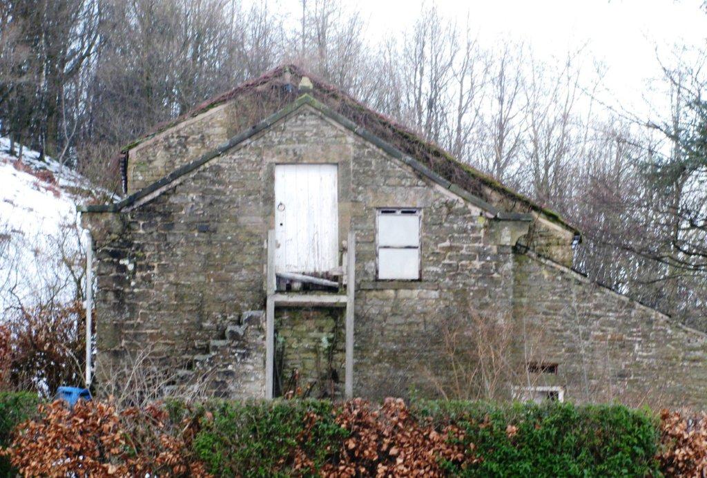
| Bichenlee Village (Tin Town) built for constructing Derwent & Howden Dams |
 |
 |
 |
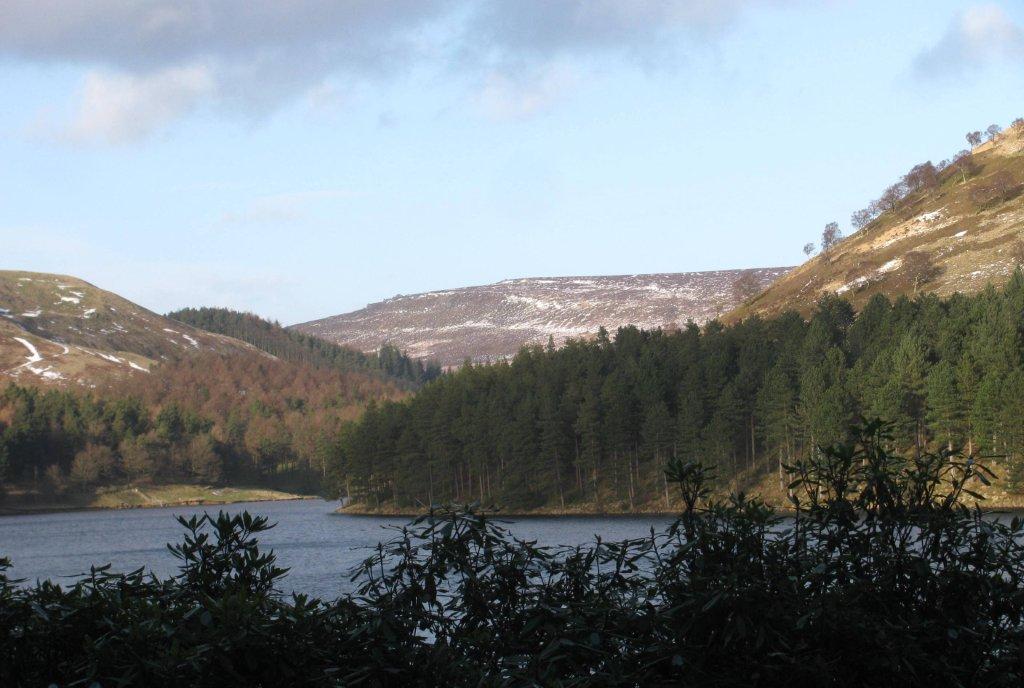
| Howden Reservoir |
 |
 |
 |
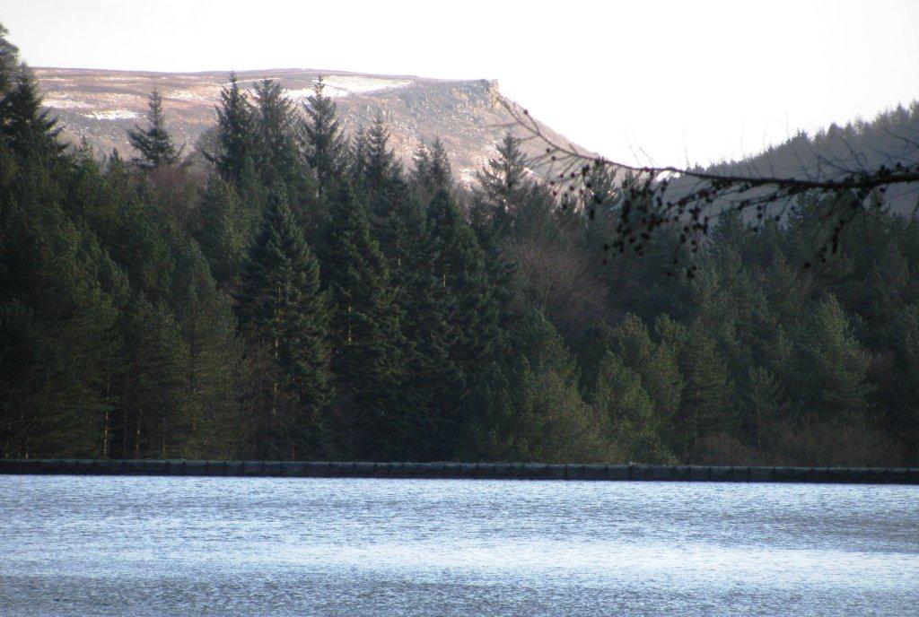 |
| Bamford Edge - seen across Derwent Reservoir |
 |
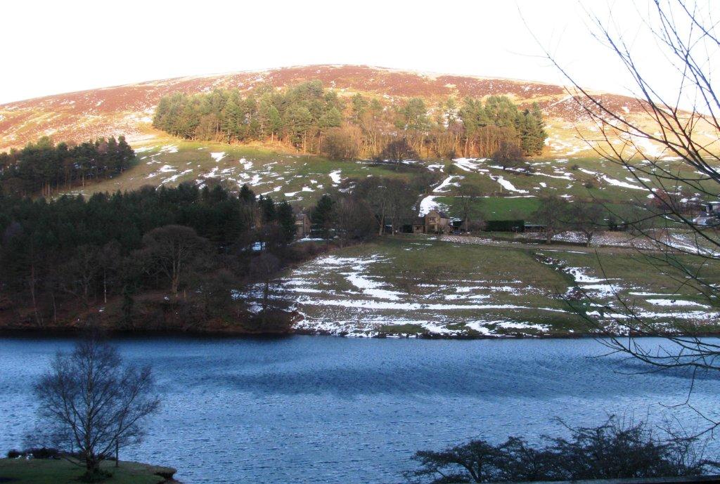
| Hillins Clough on edge of Derwent Reservoir |
 |
 |
 |
 |
 |
 |
homepage - Day Walks
Index 2013 - contact me at
![]()