homepage - Day
Walks Index 2012 - contact me at

27th May 2012 - Ashopton Viaduct, Crookhill Farm, Woodstock
Coppice, down to Haggwater Bridge, along conduit to Upper Ashop, up to Shooting
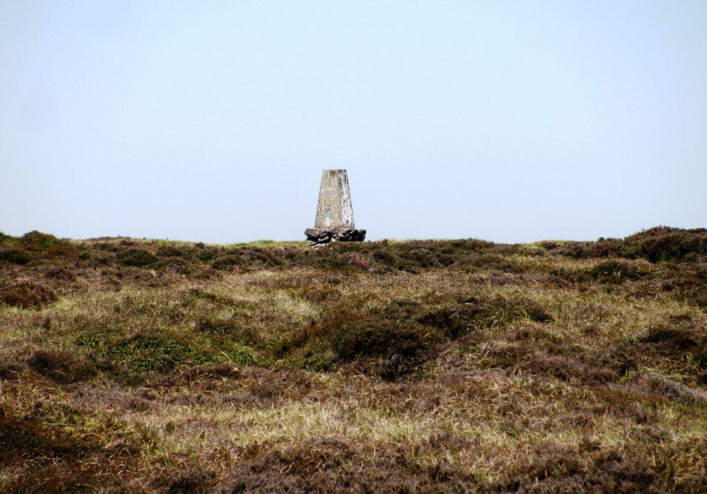
Cabins, Mad Womans Stones, Survey Beacon at abt 570m, down Ollerbrook Clough,
across to Youth Hostel, Jaggers Clough, Backside Wood, Edale End, under rail
track, Hope - leaders Chris & Jacki Dauris
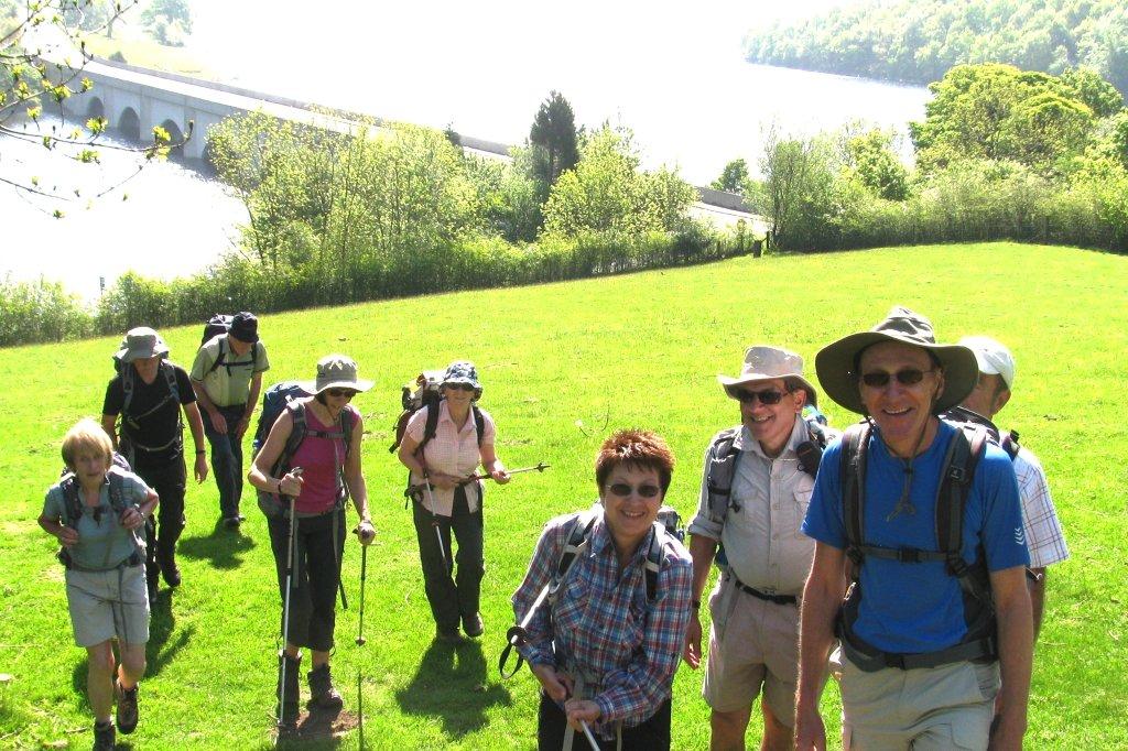 |
| Ashopton Viaduct behind |
 |
| |
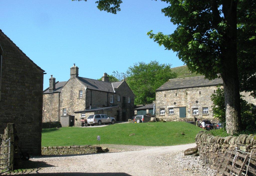 |
| Crookhill Farm |
 |
| |
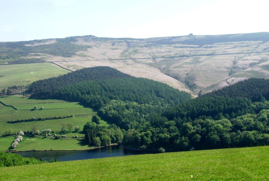 |
| Wheel Stones seen across Ladybower Reservoir |
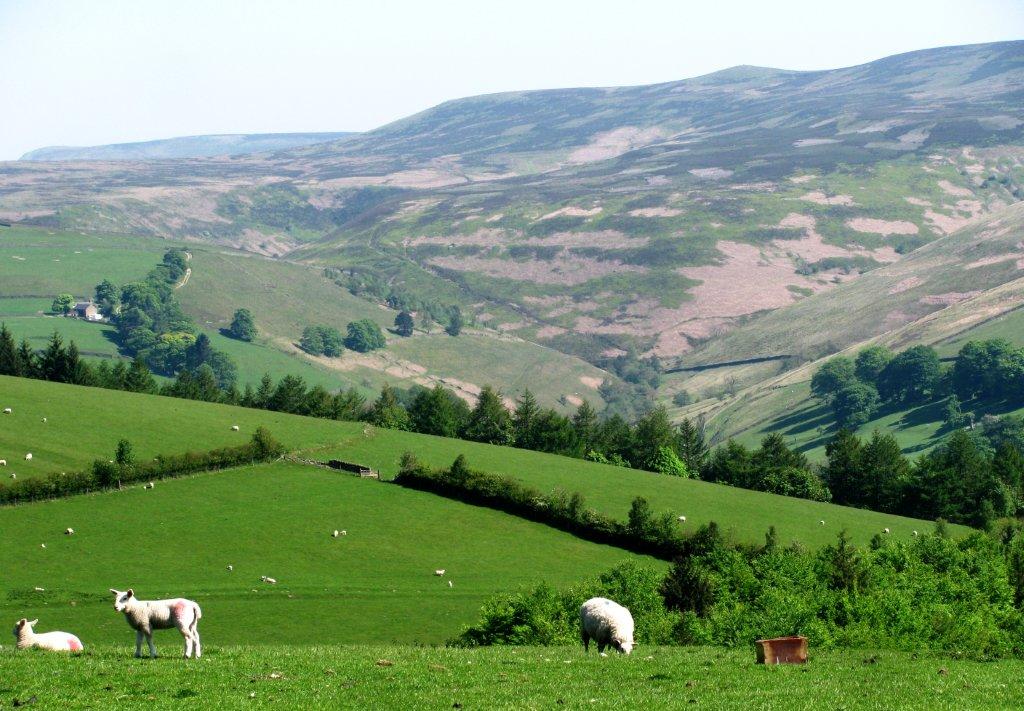 |
| Derwent edge on skyline |
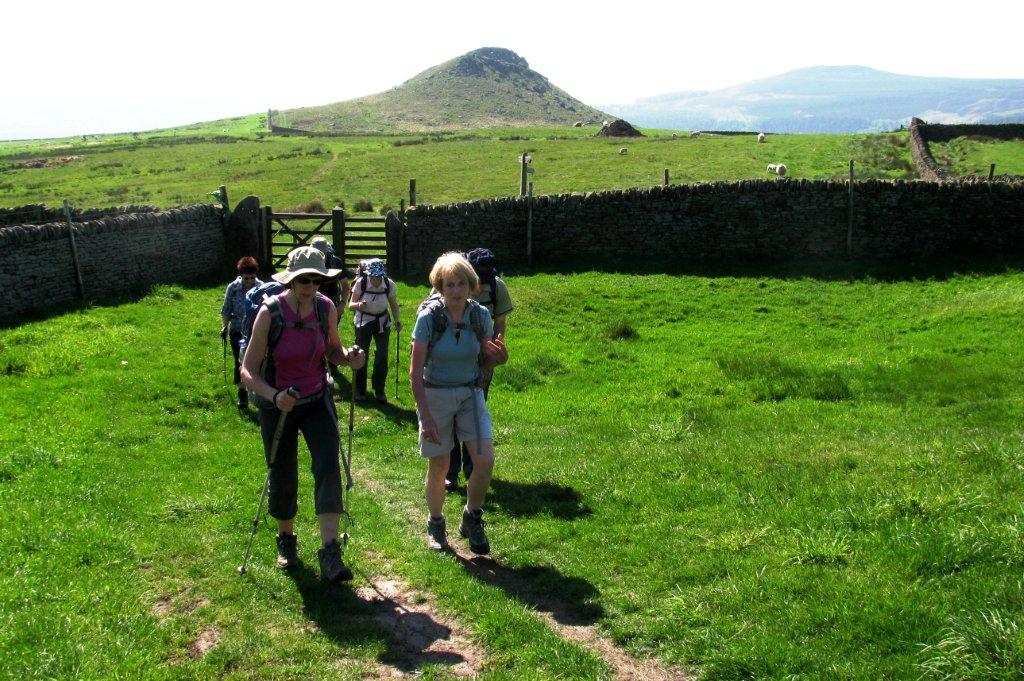 |
| Crook Hill |
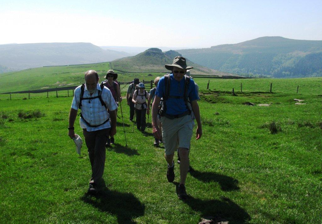 |
| |
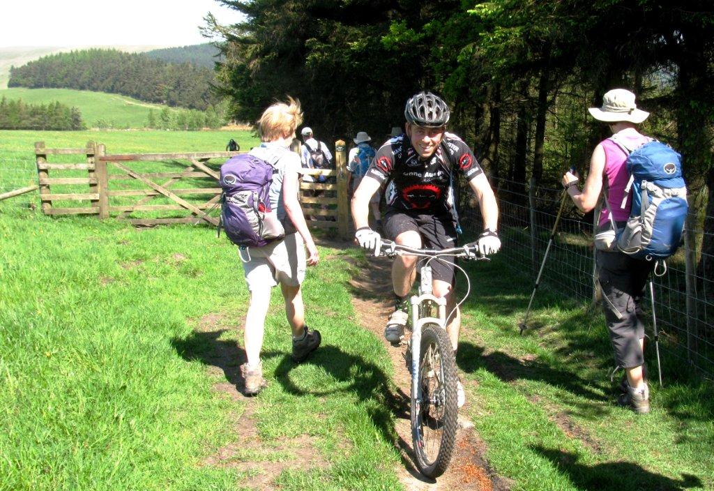 |
| |
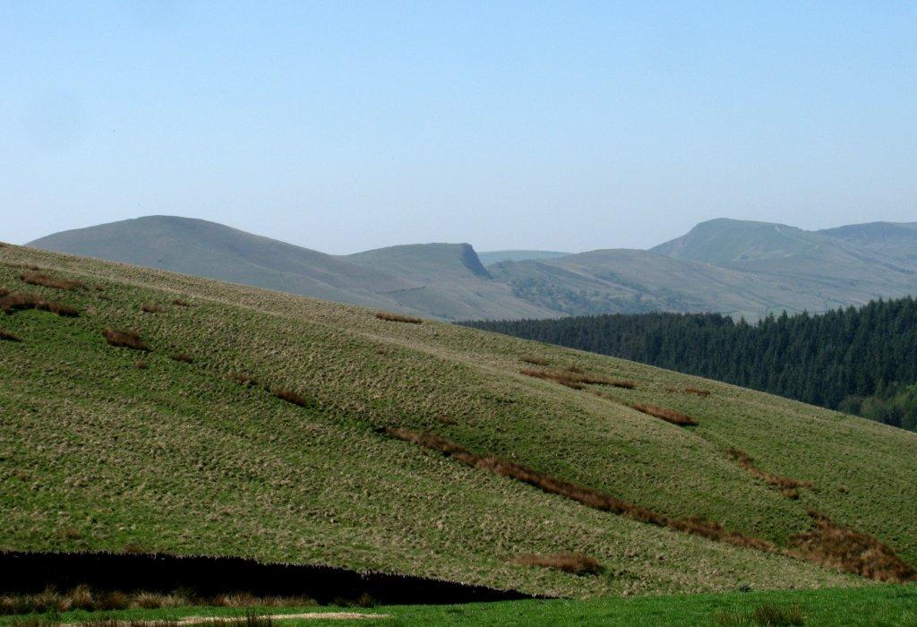 |
| view of Lose Hill, Back Tor, Mam Tor |
 |
| |
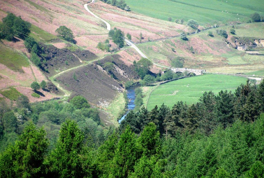 |
| Zoomed in to path ahead - open conduit leading to Howden
Reservoir just visible to mid left |
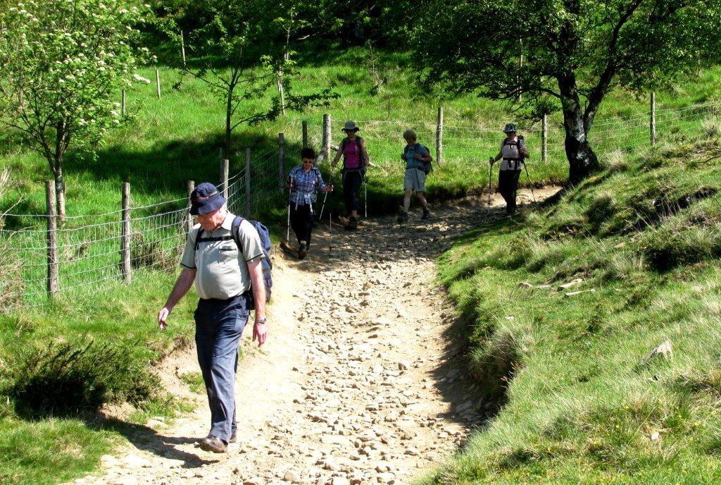 |
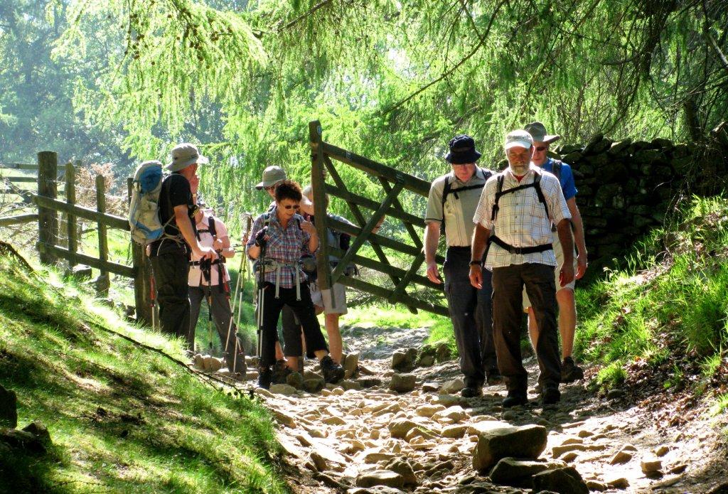
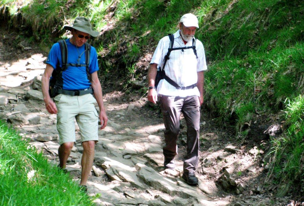
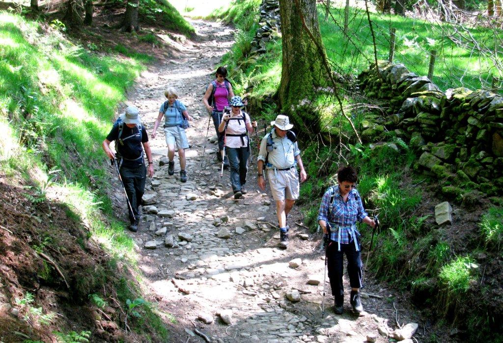
| down toward Hagg Farm |
 |
| |
 |
| |
 |
| |
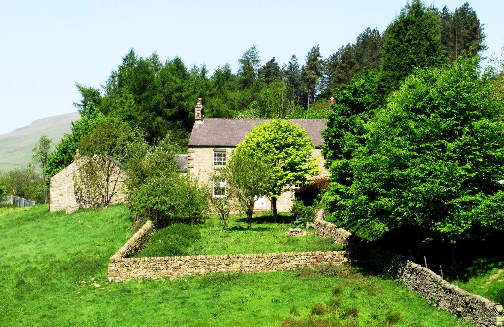 |
| Hagg Farm |
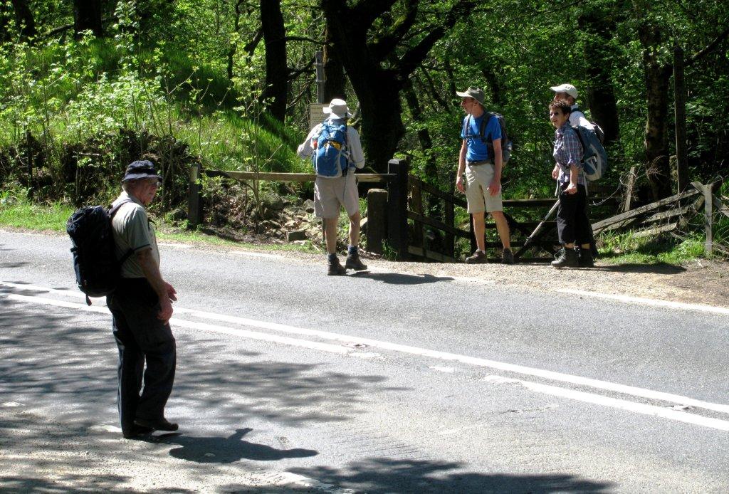 |
| Snake Pass - A57 |
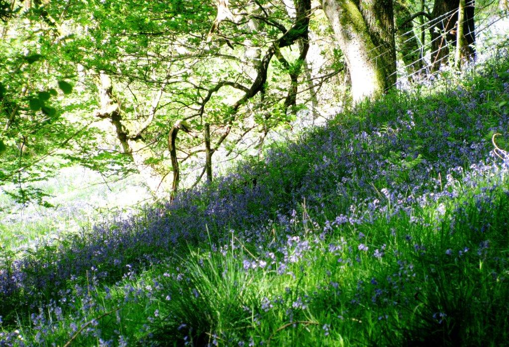 |
| Bluebells |
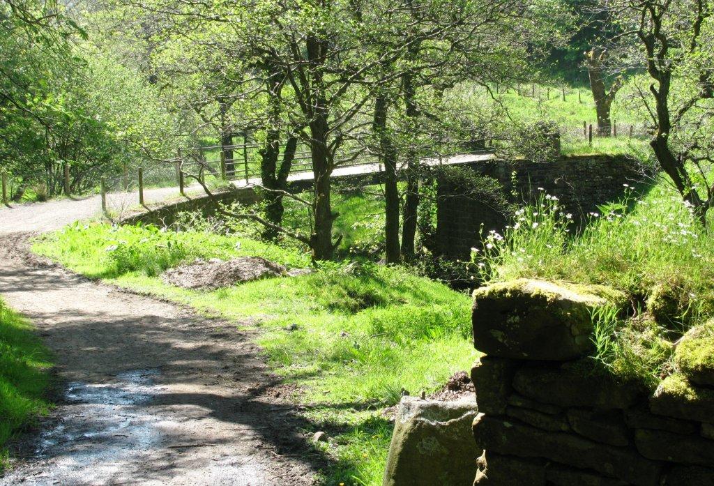 |
| Haggwater Bridge |
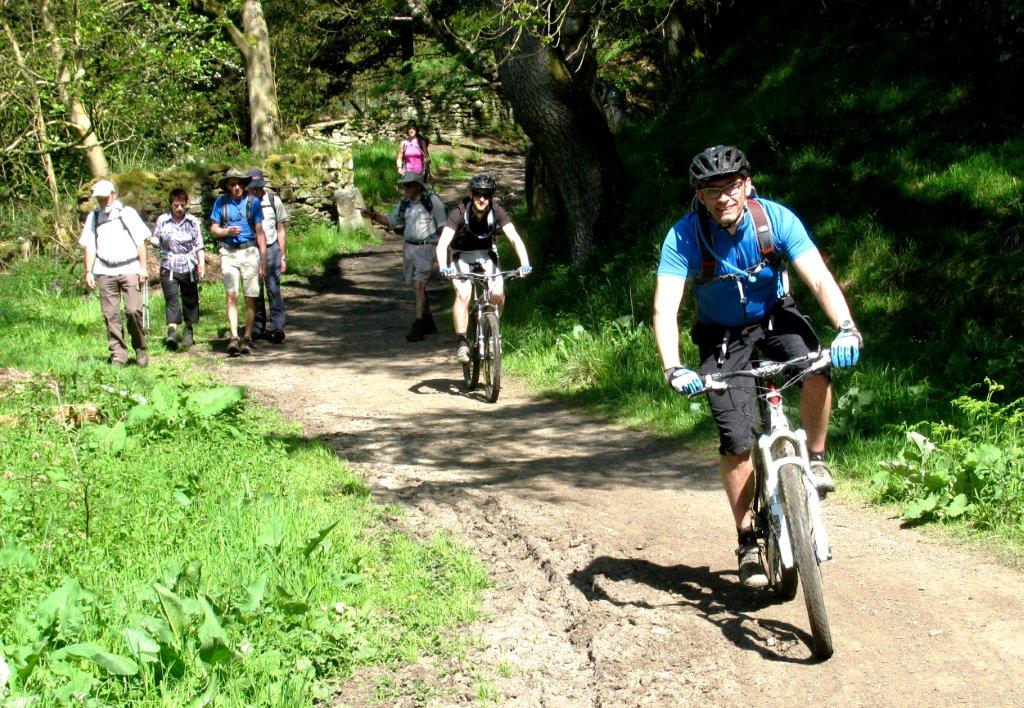 |
| |
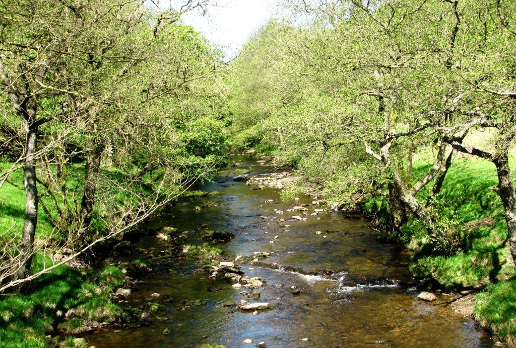 |
| River Ashop |
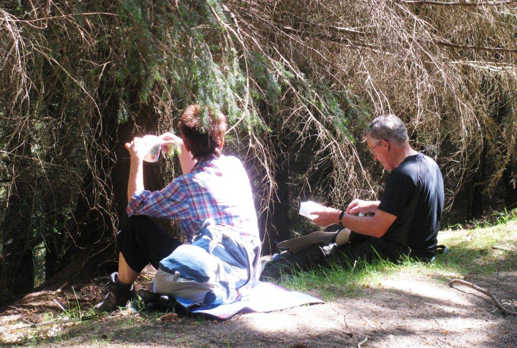 |
| |
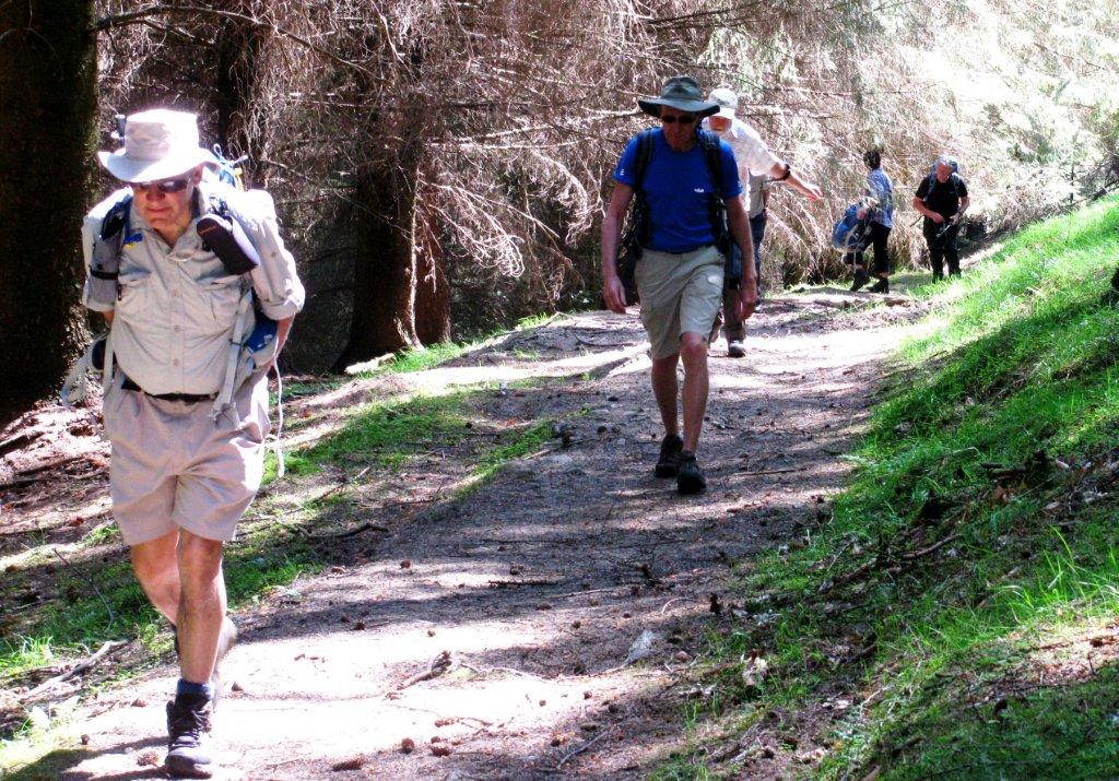 |
| |
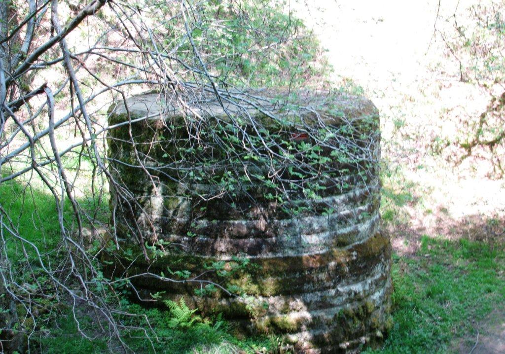 |
| Access Shaft for inverted Siphon crossing valley? |
 |
| |
 |
| |
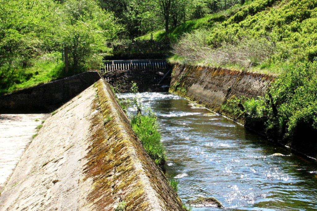 |
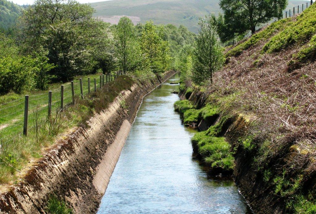
| Conduit before inverted siphon? |
 |
| |
 |
| |
 |
| |
 |
| Rowlee Bridge (not crossed) |
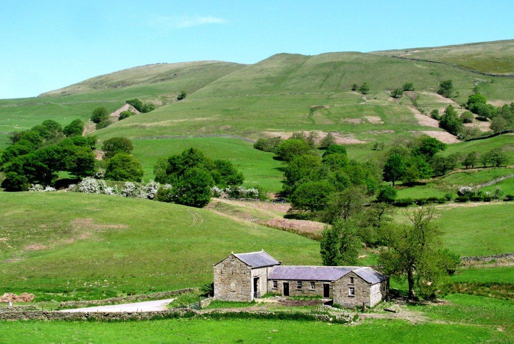 |
| |
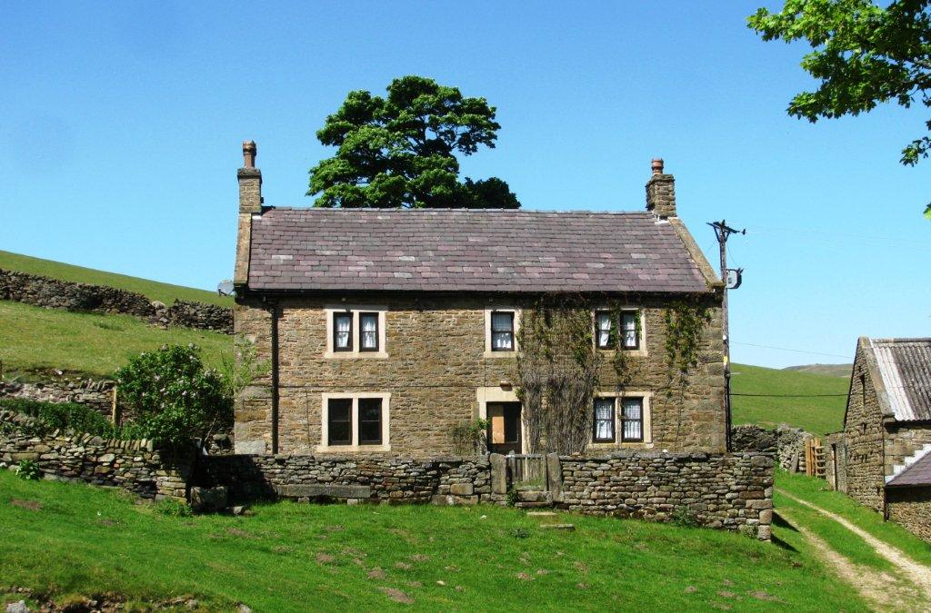 |
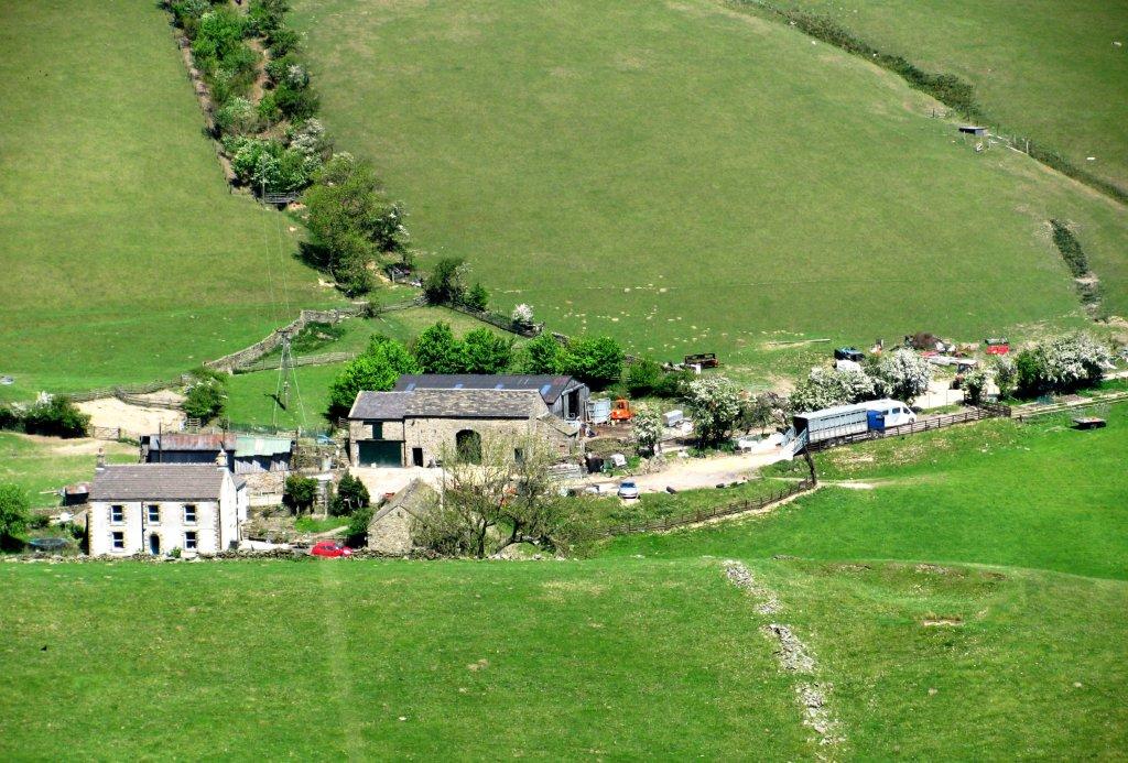
| Upper Ashop farm |
 |
| |
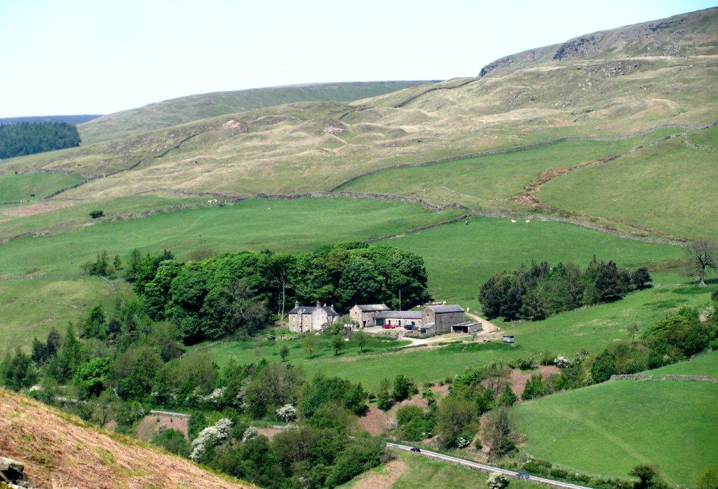 |
| |
 |
| |
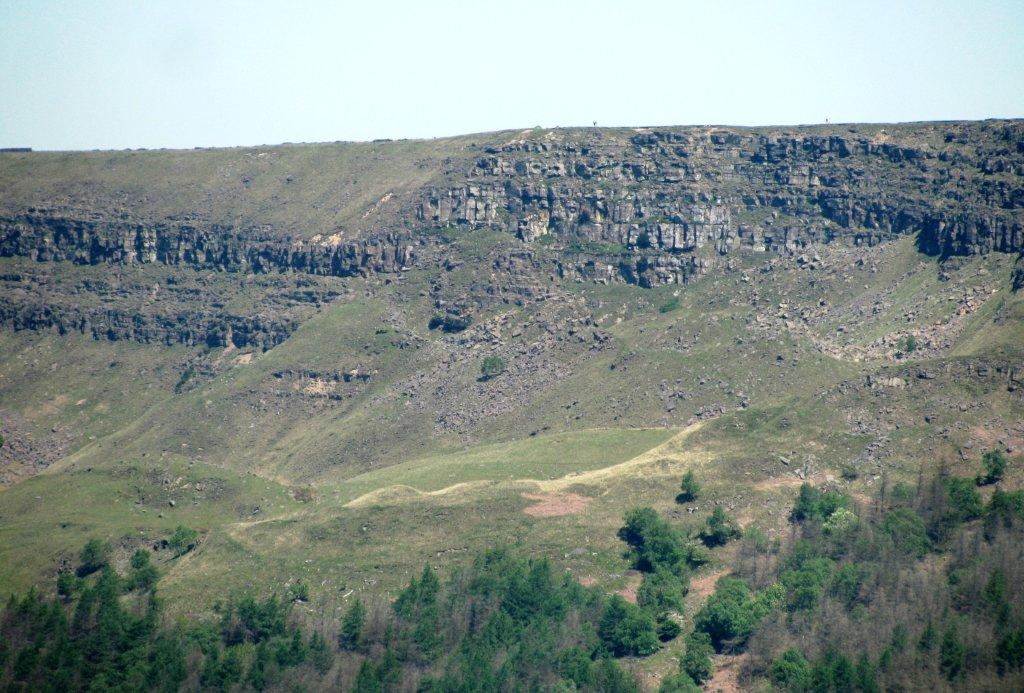 |
| The Tower & Alport Castles? |
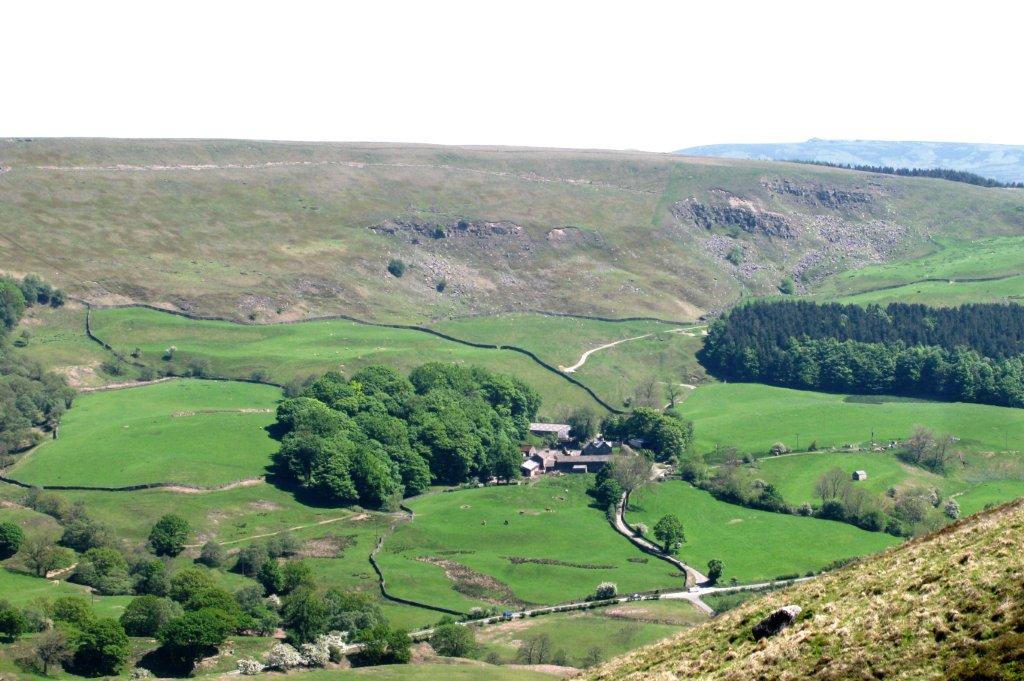 |
| Rowlee Farm |
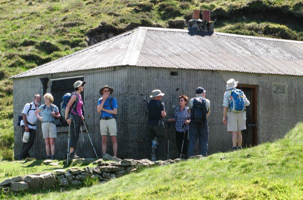 |
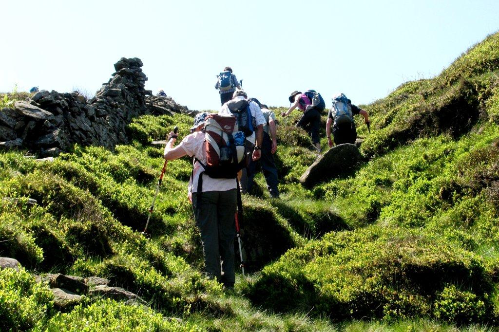
| Shooting Cabin |
 |
| |
 |
| |
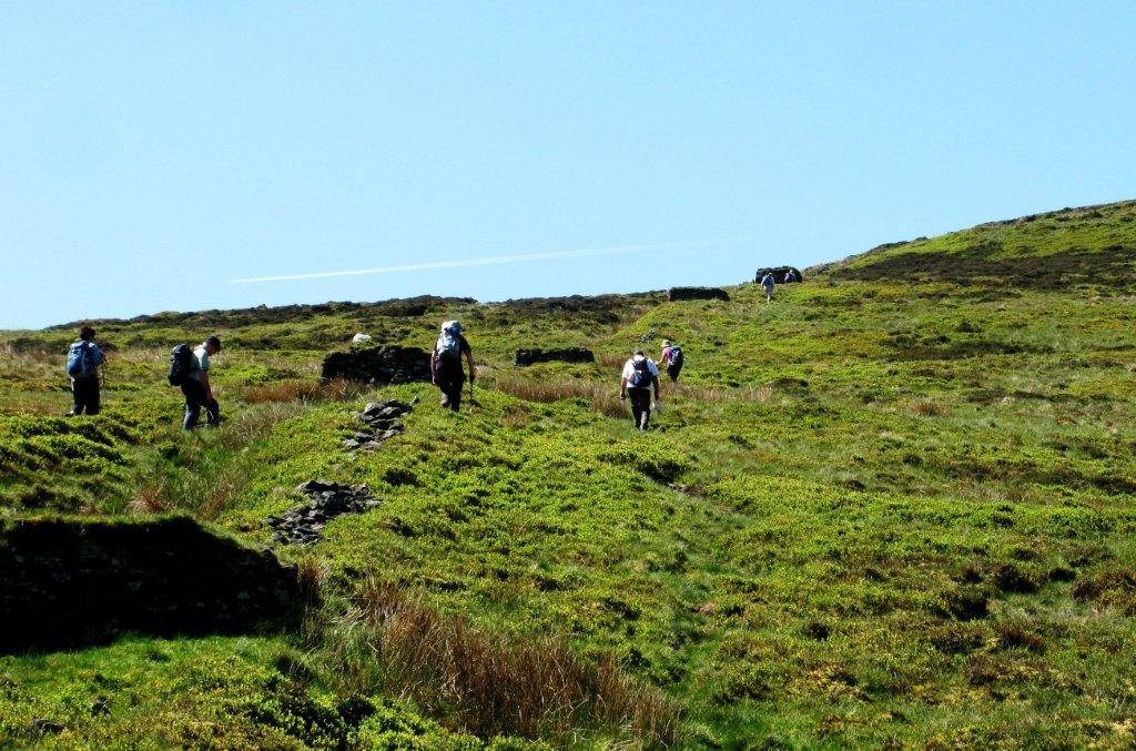 |
| Shooting Butts |
 |
| |
 |
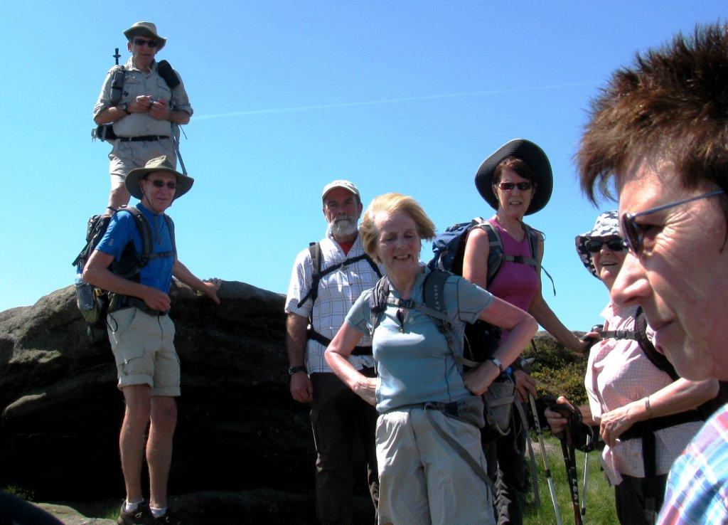
| Mad Woman's Stones |
 |
| |
 |
| |
 |
| |
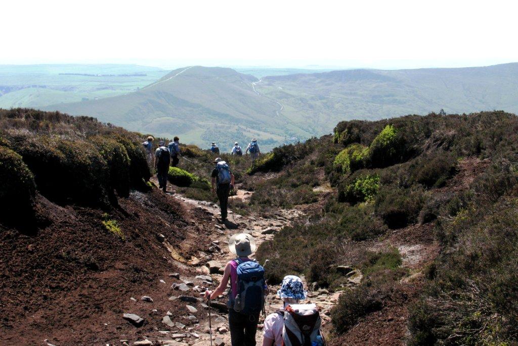 |
| Mam Tor in background |
 |
| |
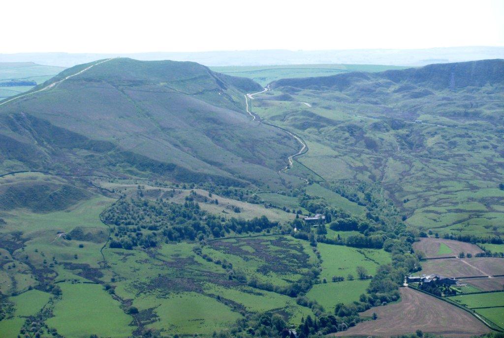 |
| Mam Tor |
 |
| |
 |
| |
 |
| |
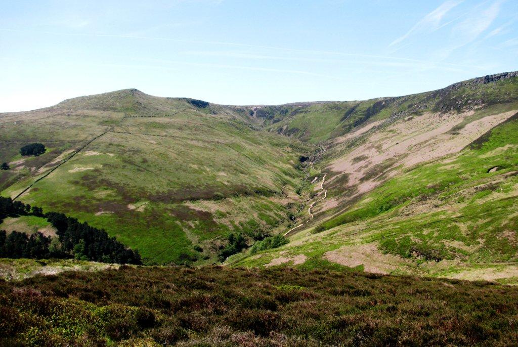 |
| Grindsbrook Clough |
 |
| |
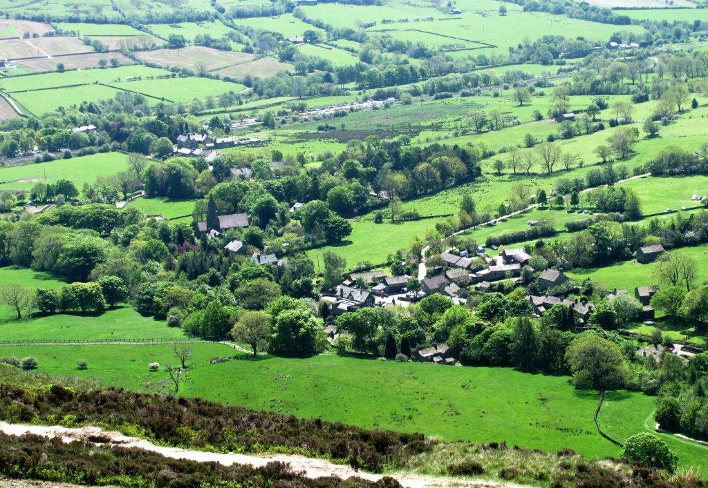 |
| Edale below |
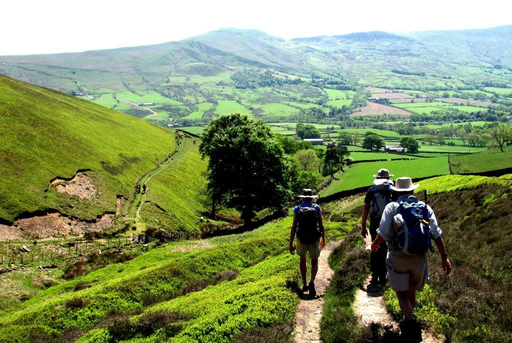 |
| towards the Youth Hostel - part through Open Access Land |
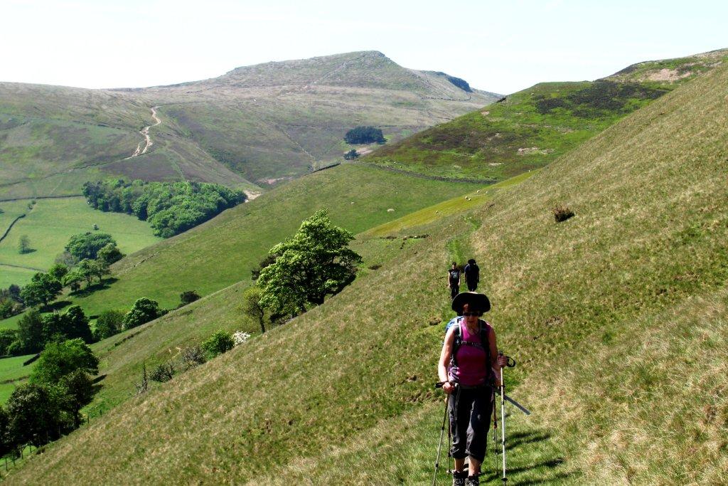 |
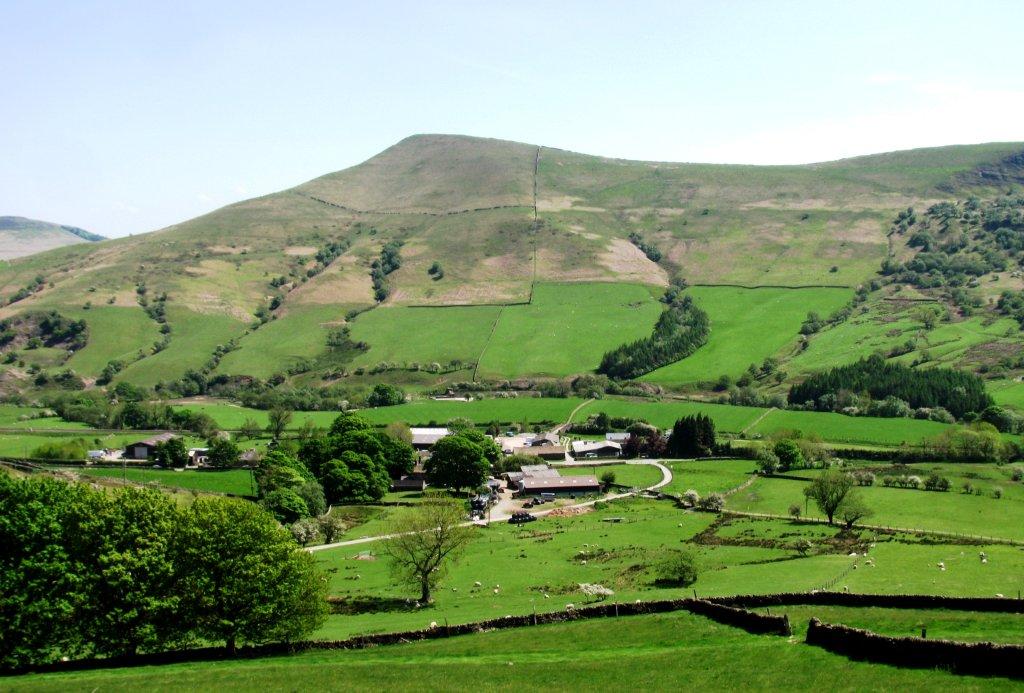
| Grindslow Knoll behind |
 |
| |
 |
| Lose Hill |
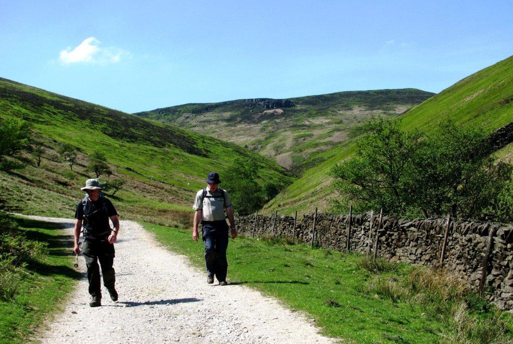 |
| Jaggers Clough behind |
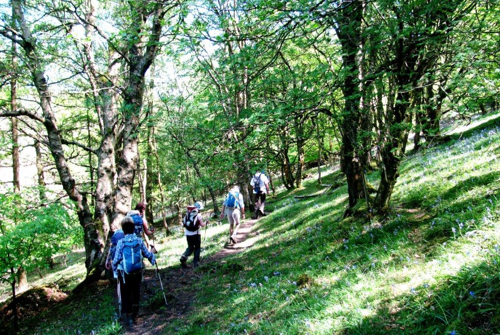 |
| Backside Wood |
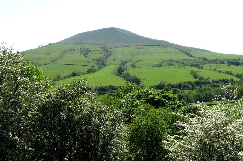 |
| Lose Hilll |
homepage - Day
Walks Index 2012 - contact me at


