homepage - Day Walks
Index 2015 - contact me at

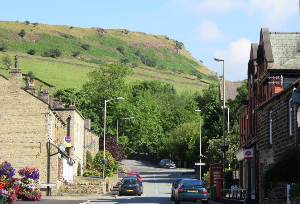
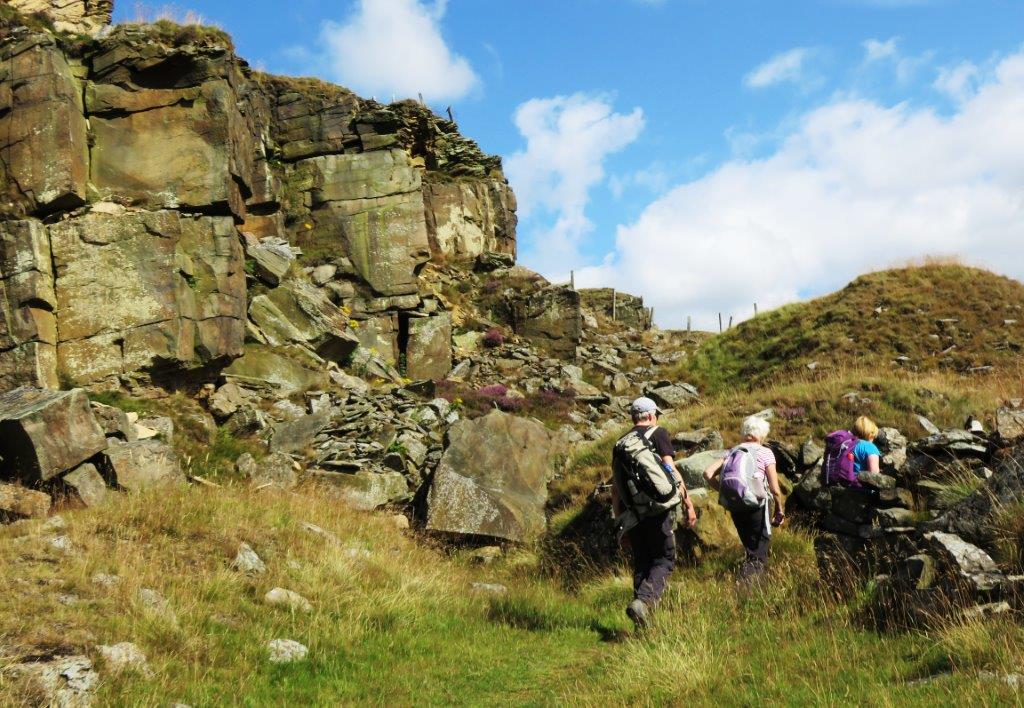
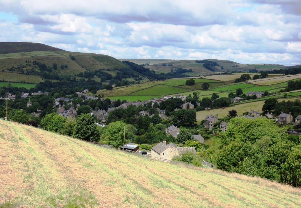
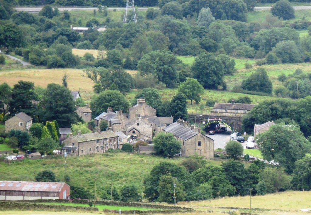
2015.08.16 - with Sheffield 40s Walking Group - Chinley,
Cracken Edge, Hills Farm, Peep O Day, Far Phoside, cross Chapel & High Gate
Roads, ridge up Mount Famine, up South Head from North, south ridge down South
Head, Beet Farm, Hull End, White Knowle Farm, Chinley - leader Ze Nobrega -
Sunday
 |
| |
 |
| |
 |
| |
 |
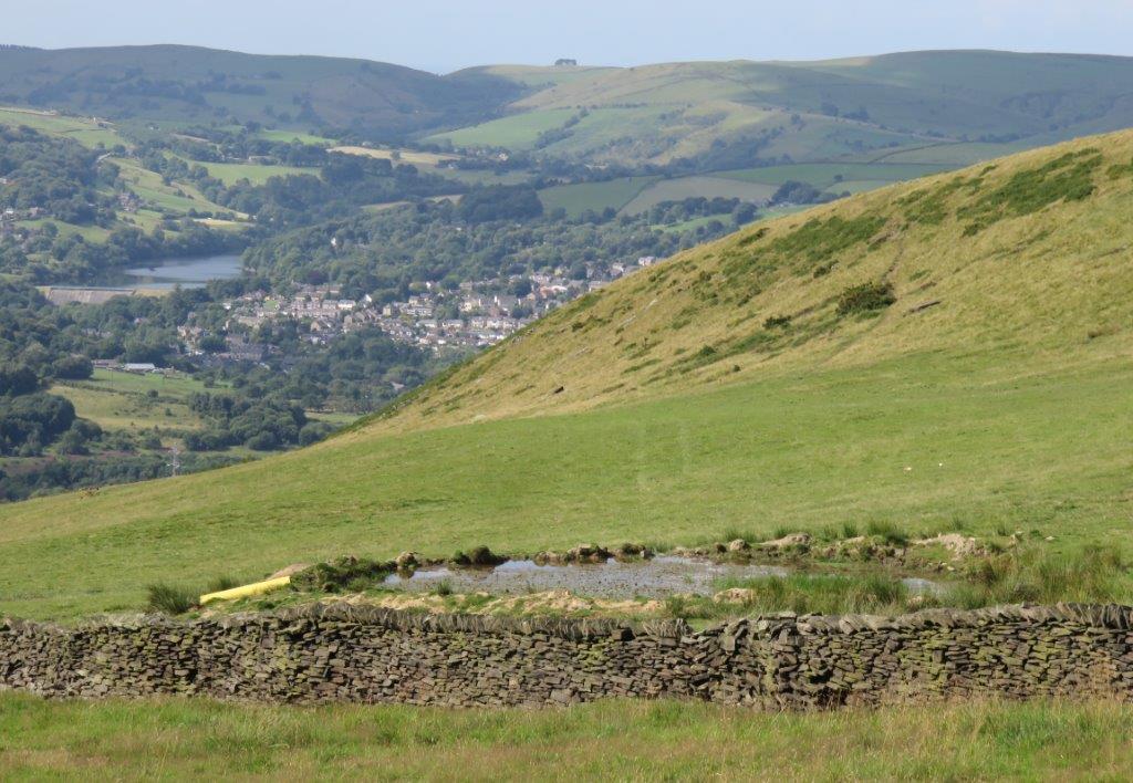
| Kinder Reservoir just visible to right. Williams Clough
behind |
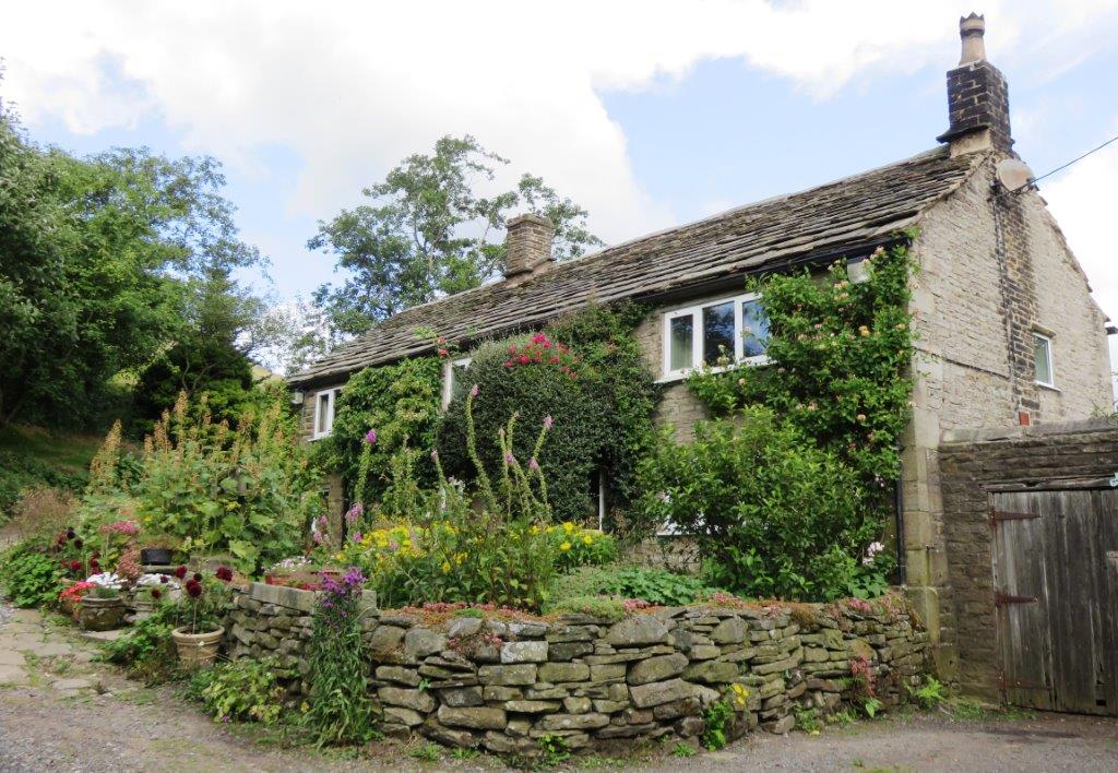 |
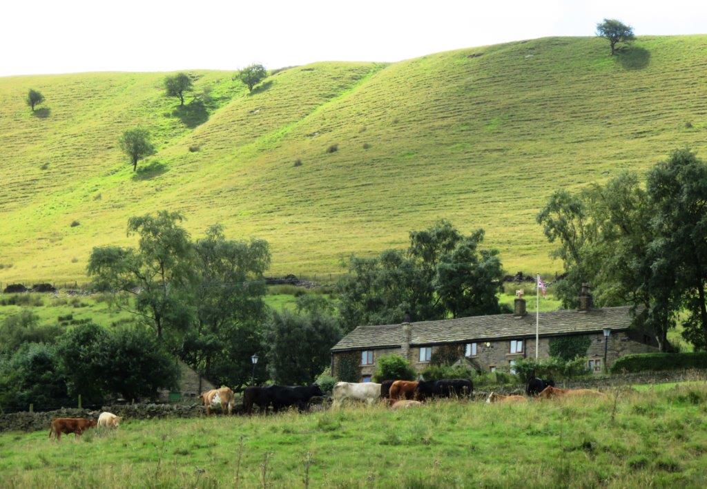
| Hills Farm? |
 |
| |
 |
| |
 |
| Peep 'O' Day - the peephole letting in morning light is just
visible on the door |
 |
| |
 |
| |
 |
| Kinder Downfall in the distance |
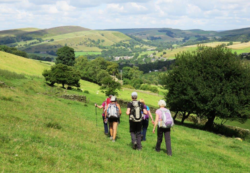 |
| towards Far Phoside |
 |
| looking back at Far Phoside |
 |
| |
 |
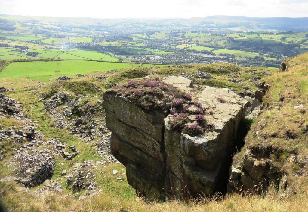
| another view of Far Phoside |
 |
| |
 |
| |
 |
| |
 |
| |
 |
| |
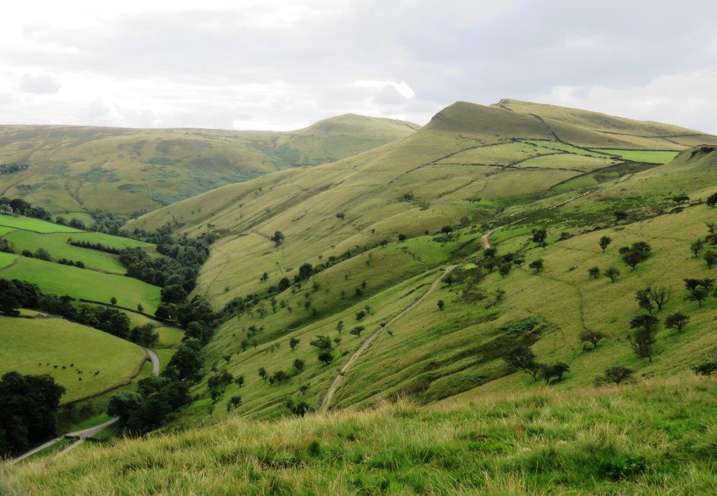 |
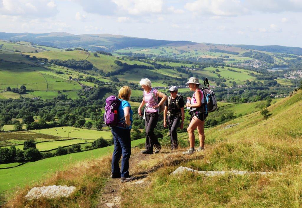
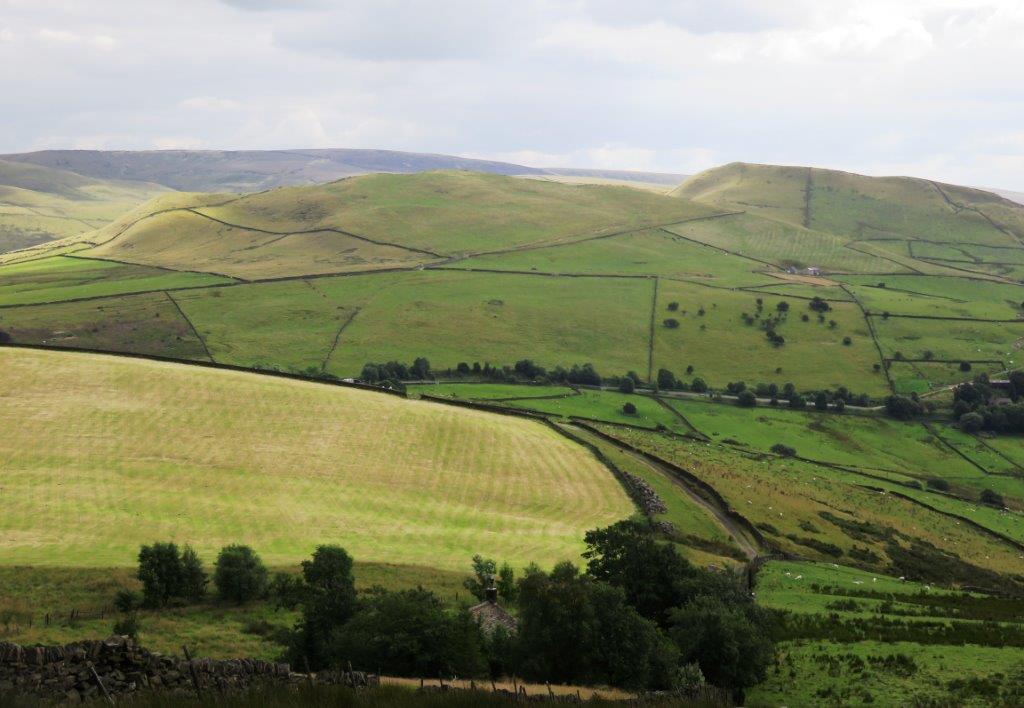
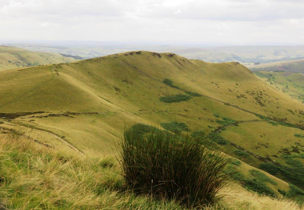
| Mount Famine right top, South Head top middle |
 |
| |
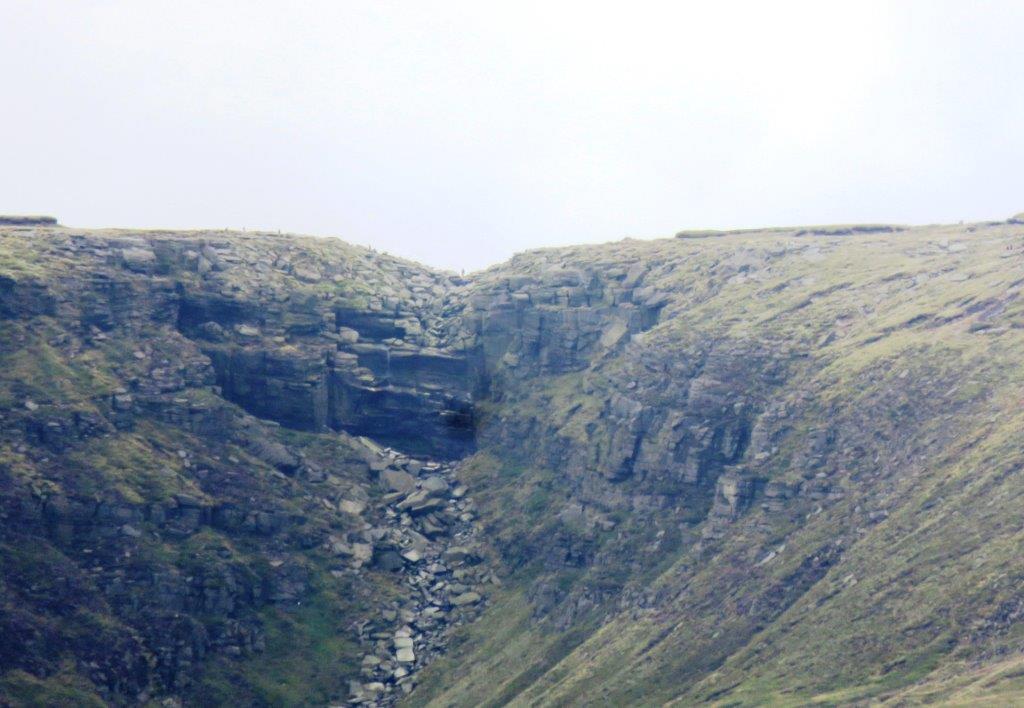 |
| another glance at Kinder Downfall (zoomed in) |
 |
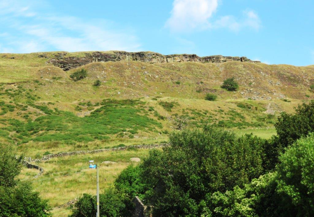
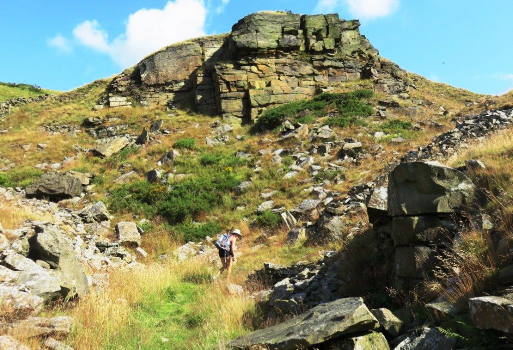
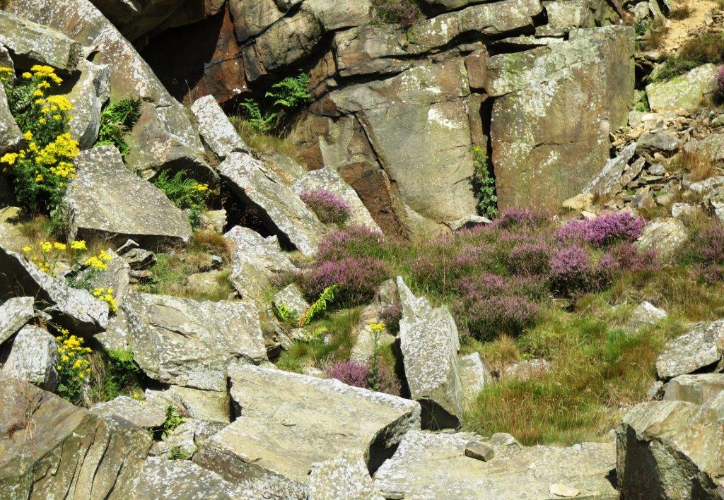
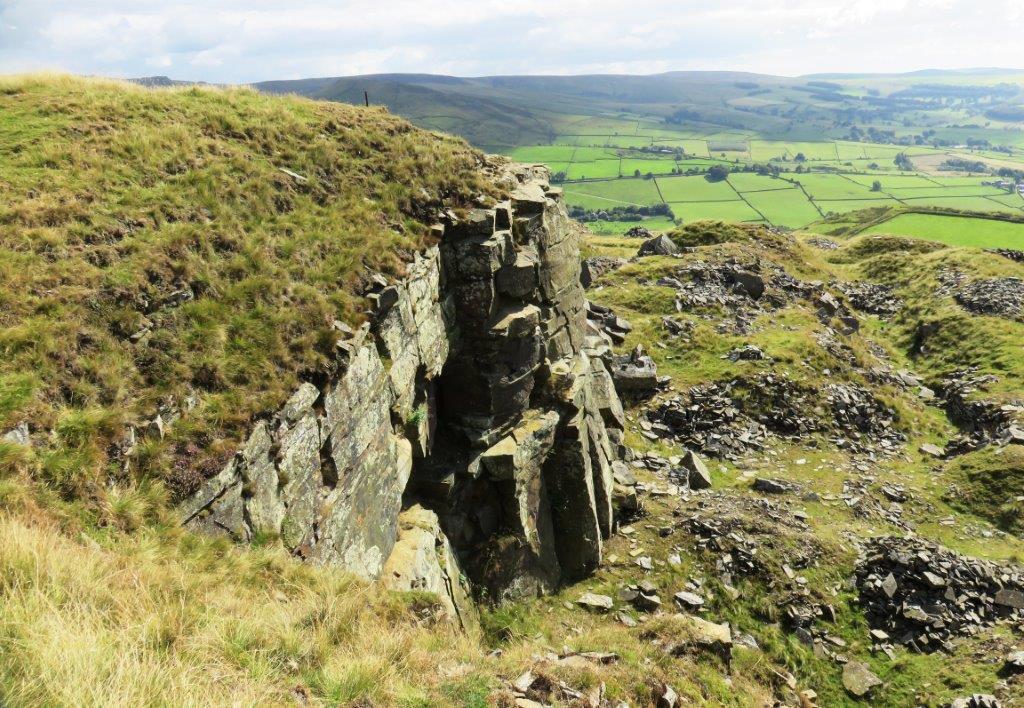
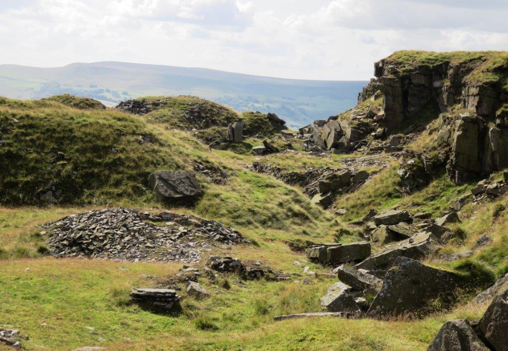
| Cracken Edge across valley |
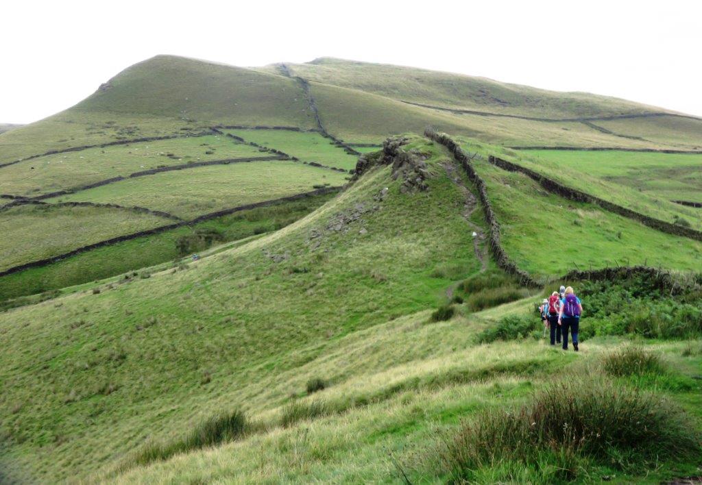 |
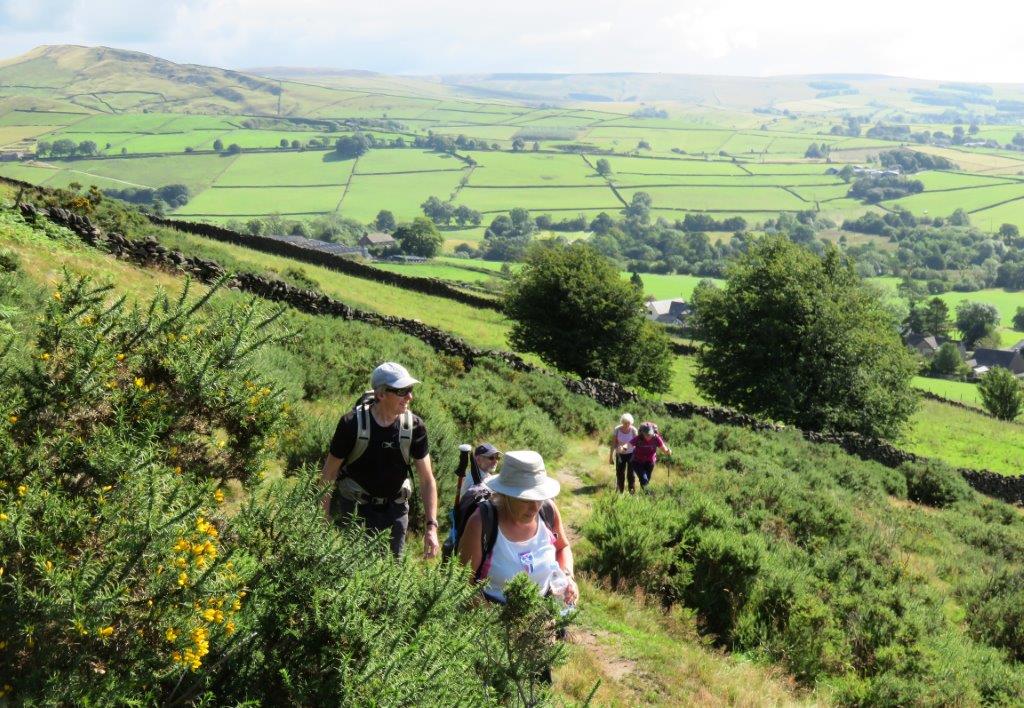
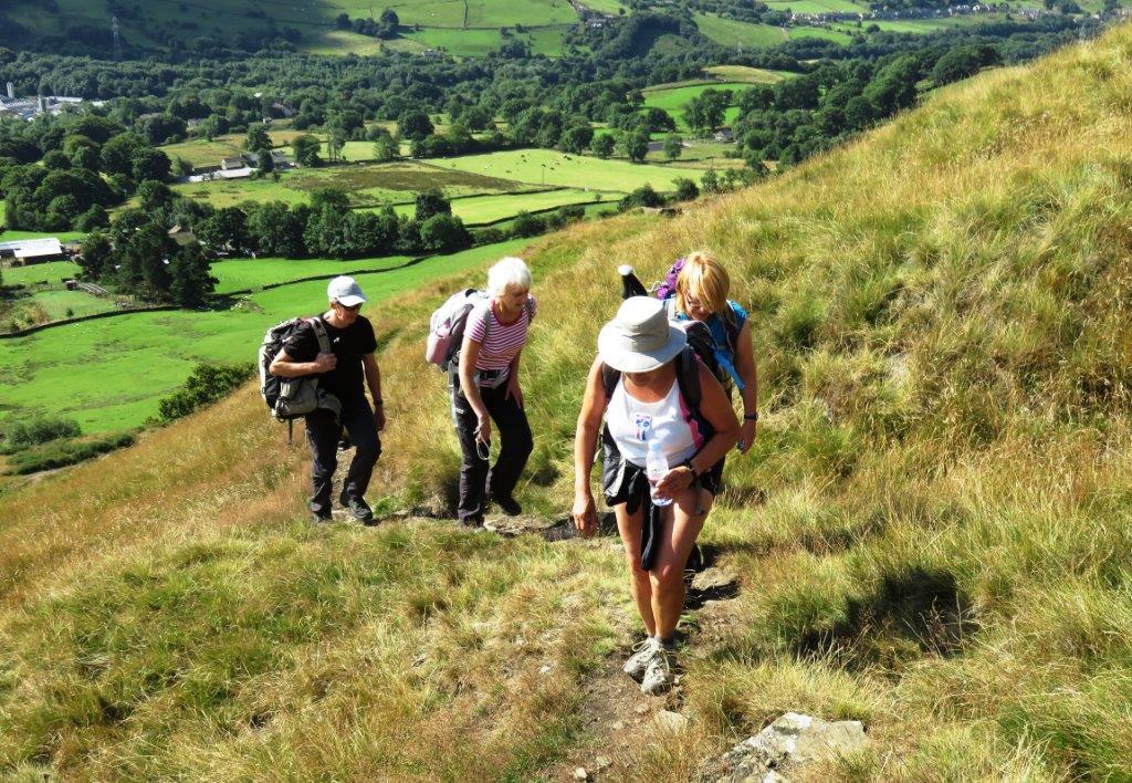
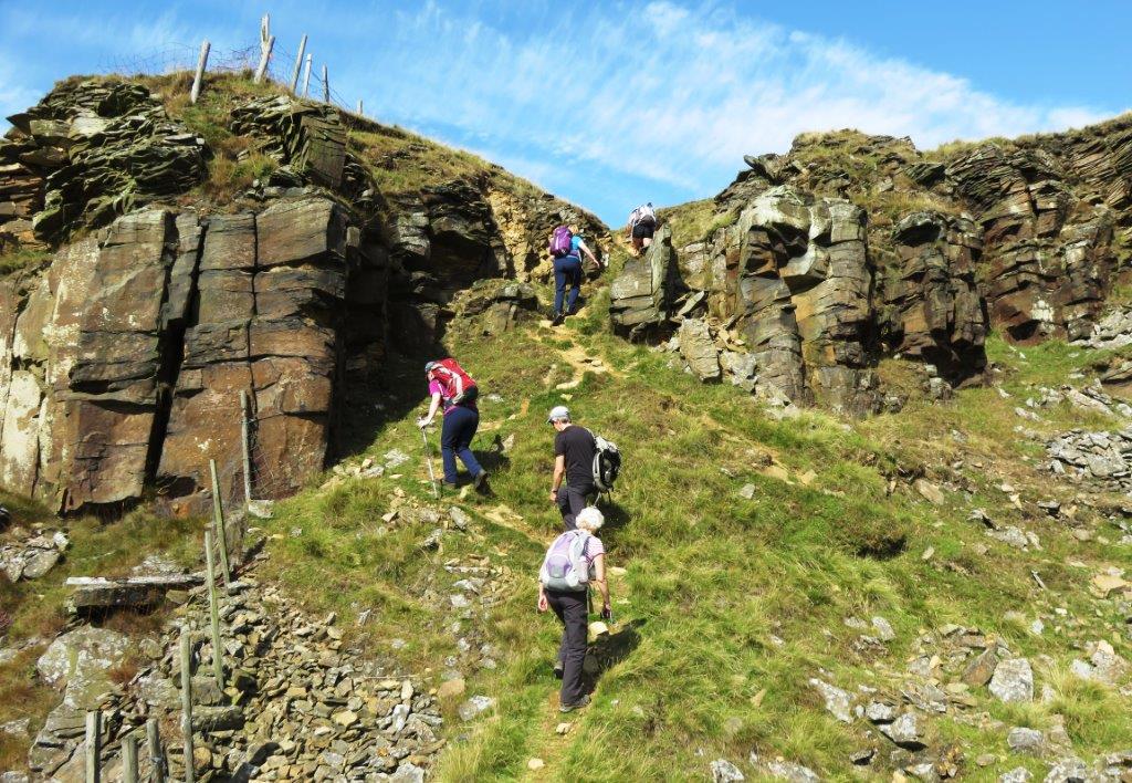
| on ridge leading up to Mount Famine |
 |
| |
 |
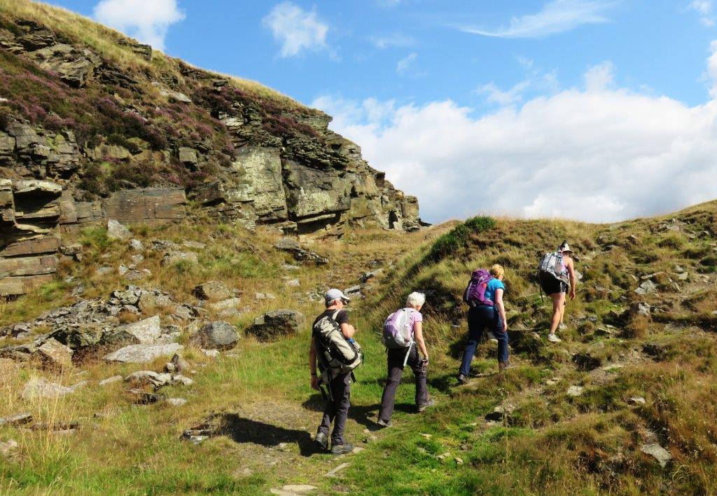
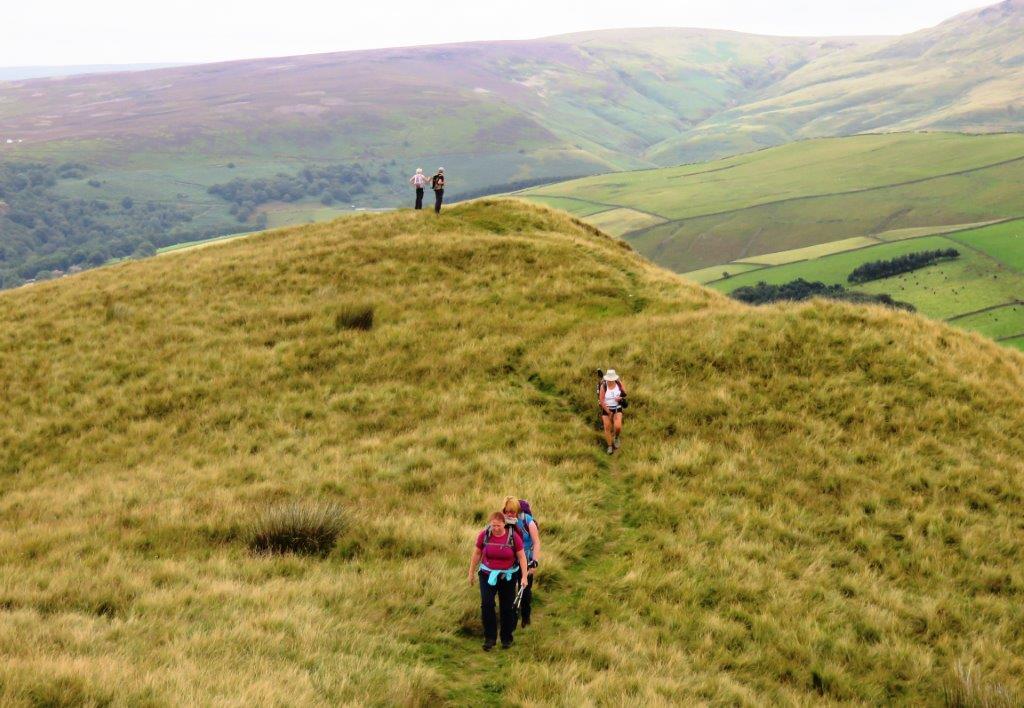
| leaving Mount Famine ridge |
 |
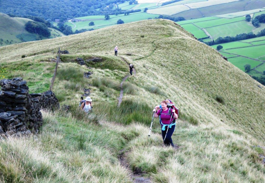
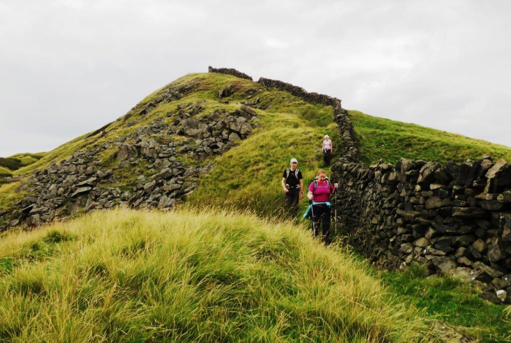
| climbing up South Head from the North side. |
 |
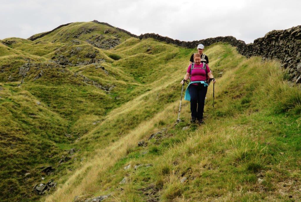
| looking at Mount Famine ridge from South Head |
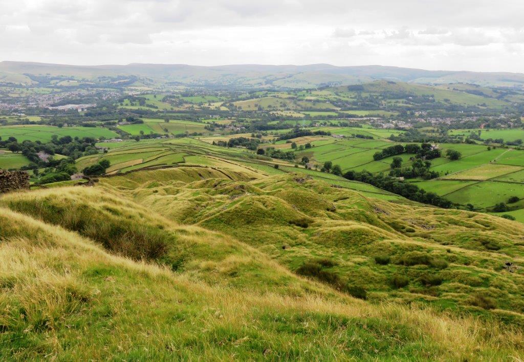 |
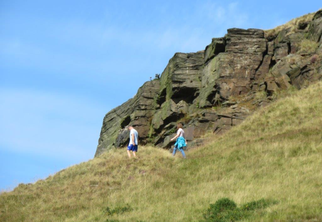
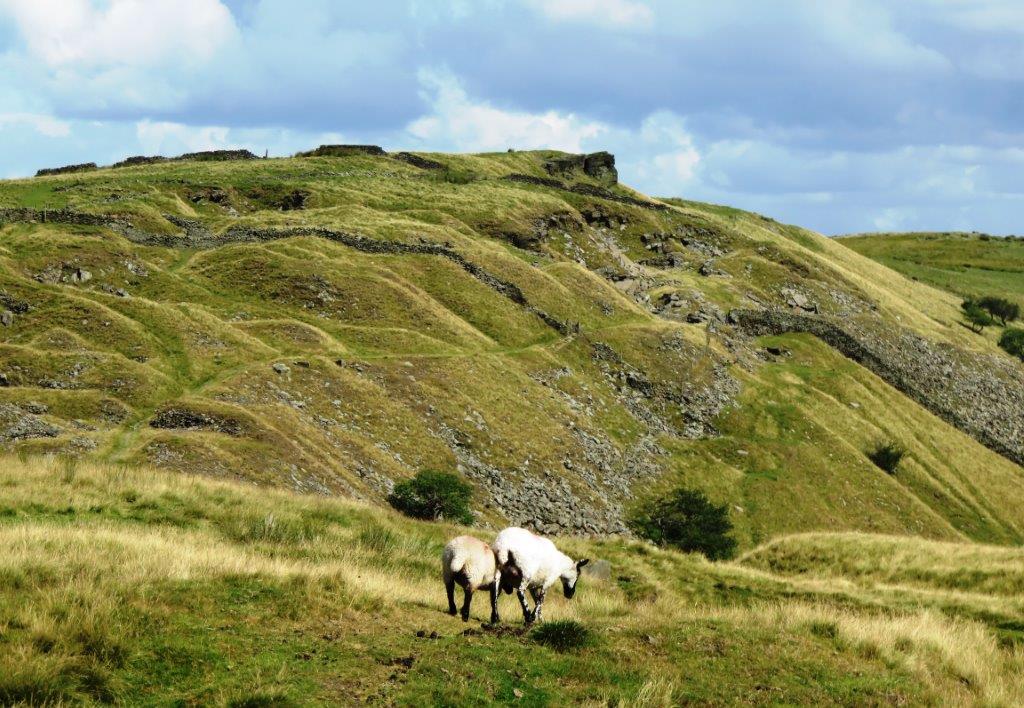
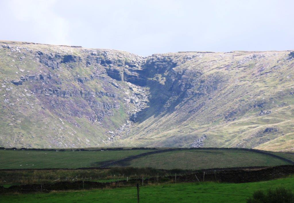
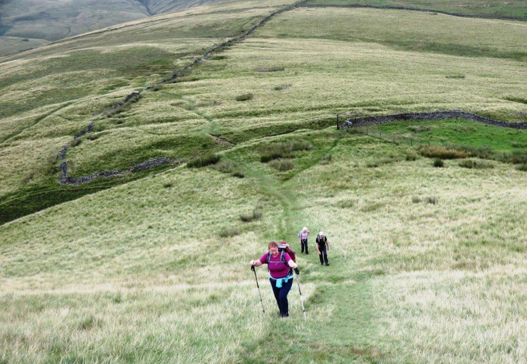
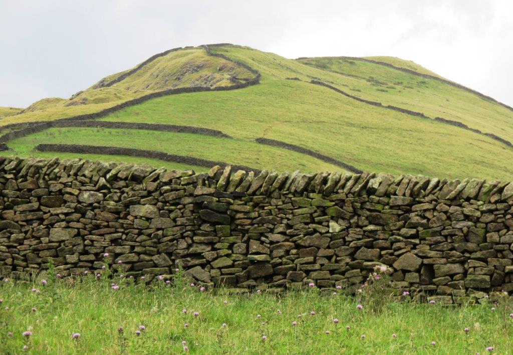
| down ridge on south side of South Head - note very deformed
land |
 |
| |
 |
| |
 |
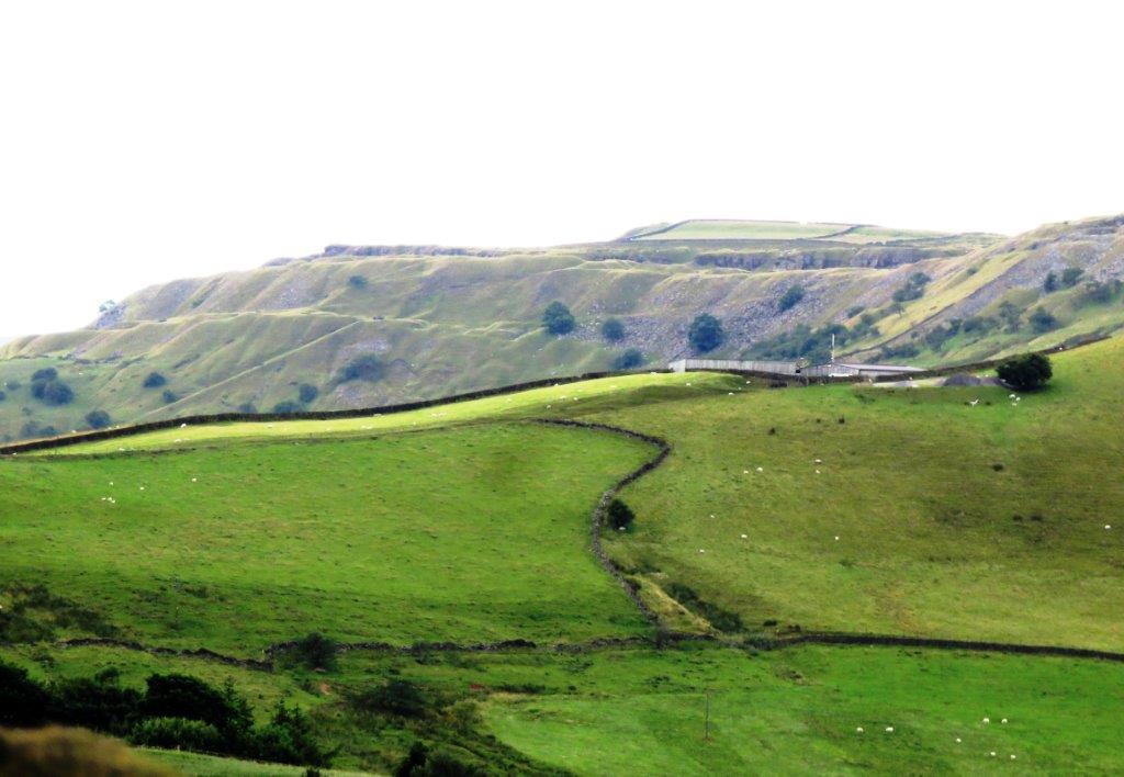
| zoomed in to unknown area? |
 |
| looking back at South Head |
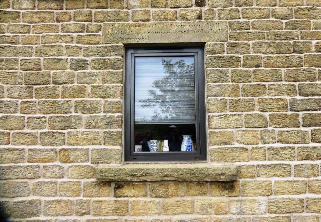 |
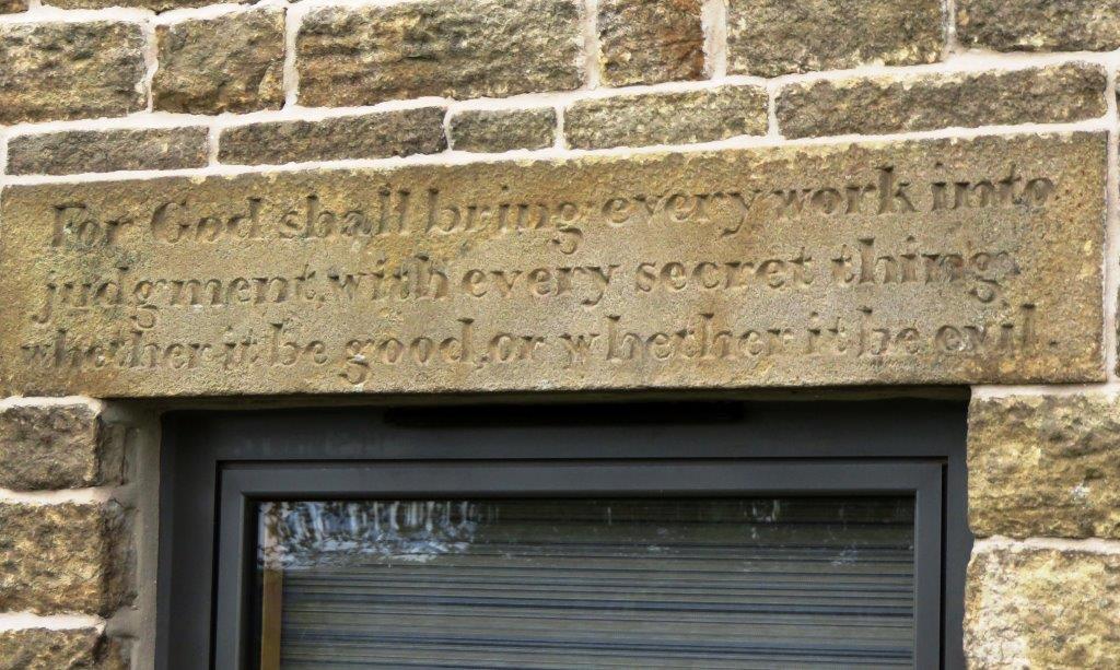
| scripture quotes on window lintels |
 |
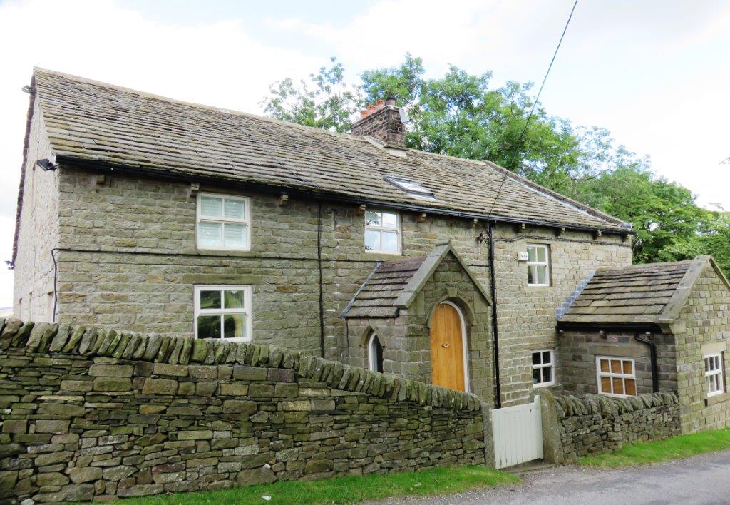
| Beet Farm? |
 |
| |
 |
| |
 |
| |
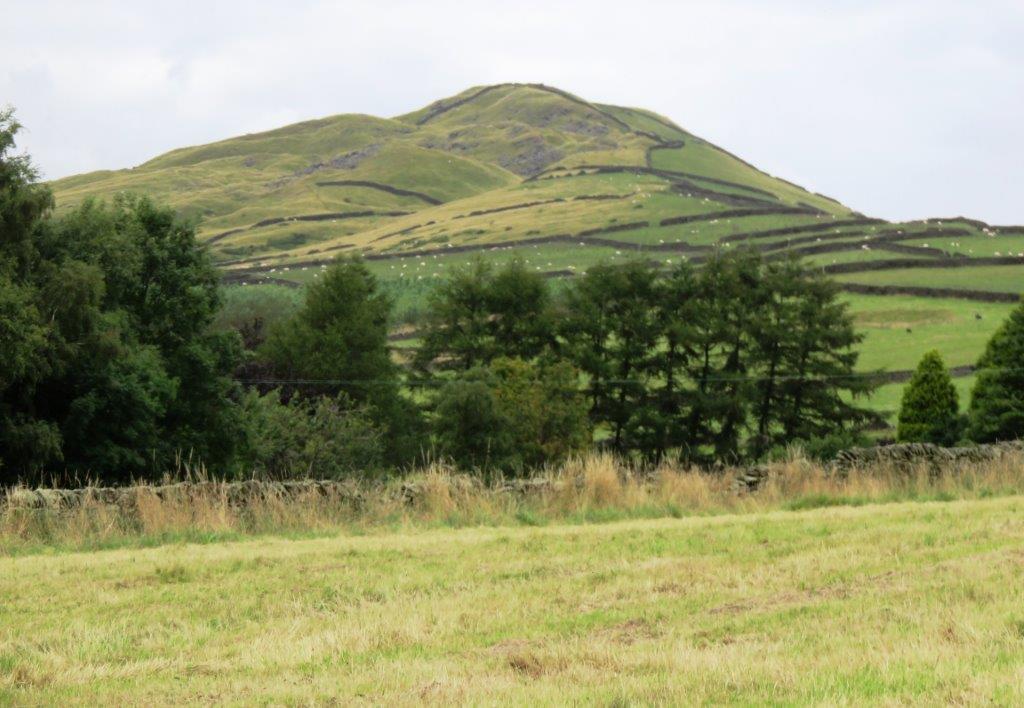 |
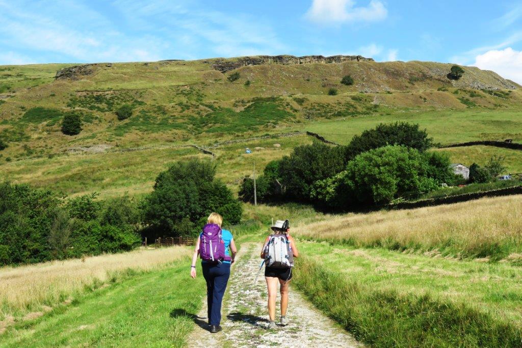
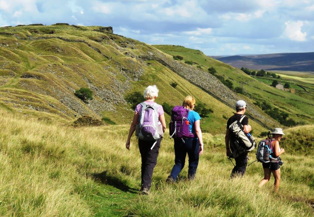
| South Head from the South |
homepage - Day Walks
Index 2015 - contact me at