homepage - Day Walks
Index 2015 - contact me at

2015.07.15 - Low Bradfield, The Plough (PH), above Dale Dike
stream, Annet Bridge, Dale Road, Hall Lane, Hallfield, Brogging, Strines Bridge,
Foulstone Road, Bradfield Gate Head, South on Derwent Edge, down to Moscar
House, Sugworth Road then Hall, above Strines then Dale Dike Reservoirs,
Blindside Lane, Annet Bridge, The Plough, Low Bradfield - leader Angie Shaw -
Wednesday
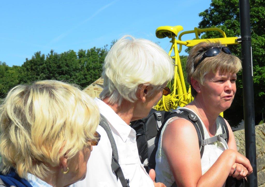 |
| walk briefing |
 |
| |
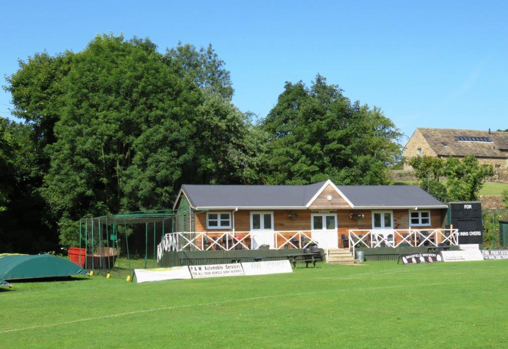 |
| Low Bradfield cricket ground |
 |
| |
 |
| |
 |
| |
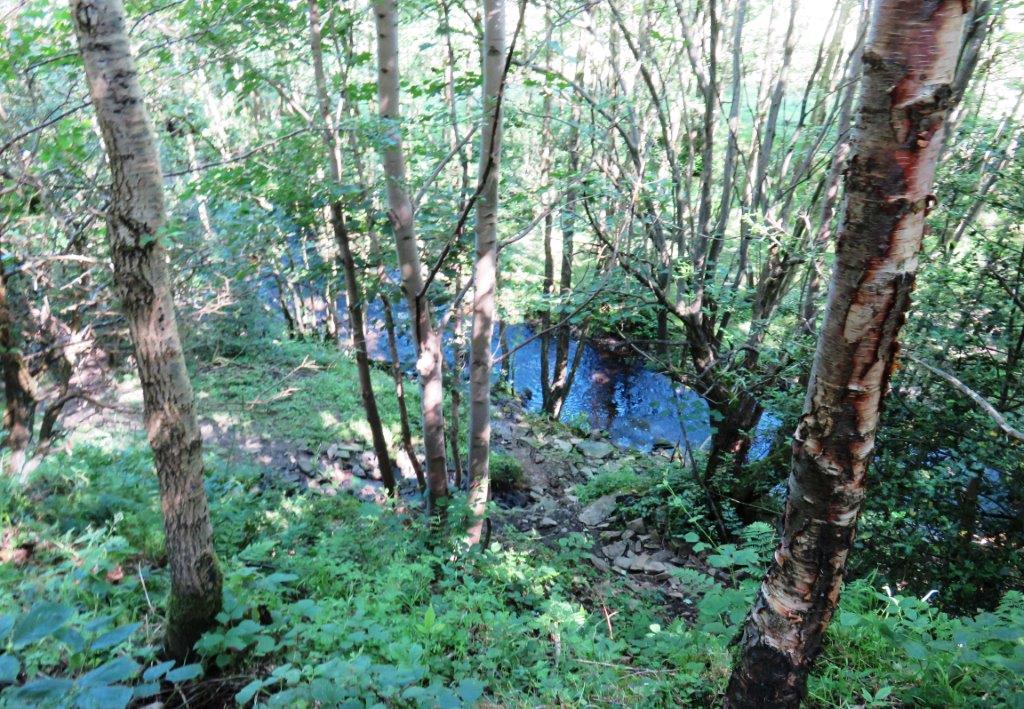 |
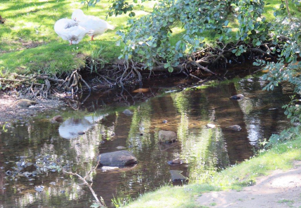
| Dale Dike (stream) |
 |
| |
 |
| |
 |
| |
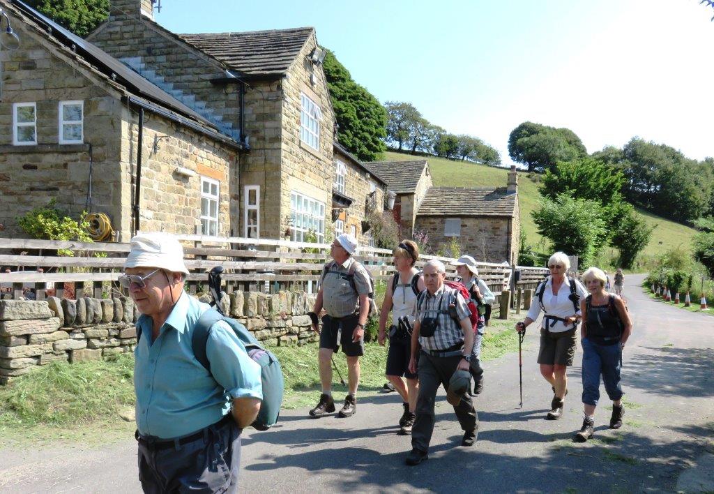 |
| The Haychatter - no longer a Public House |
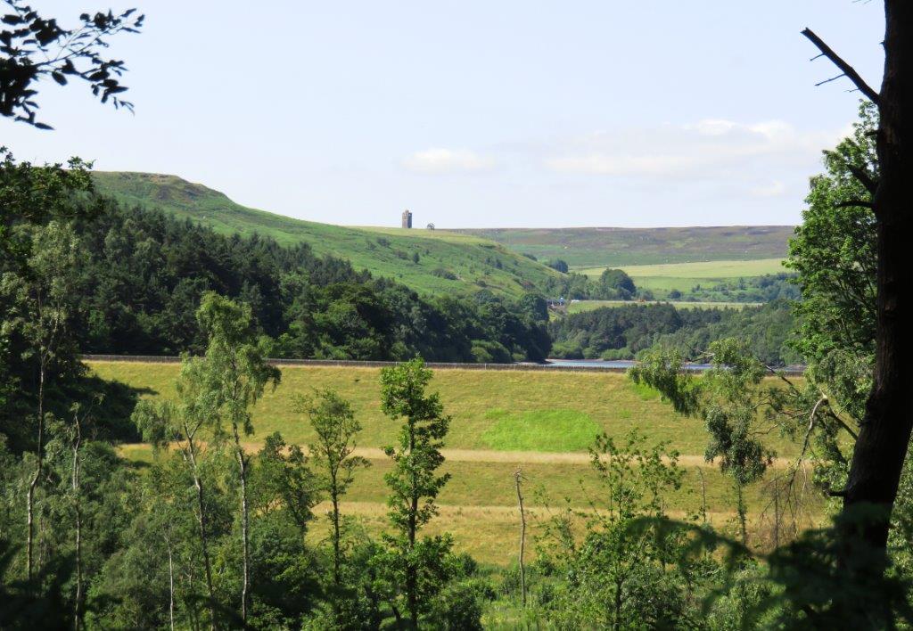 |
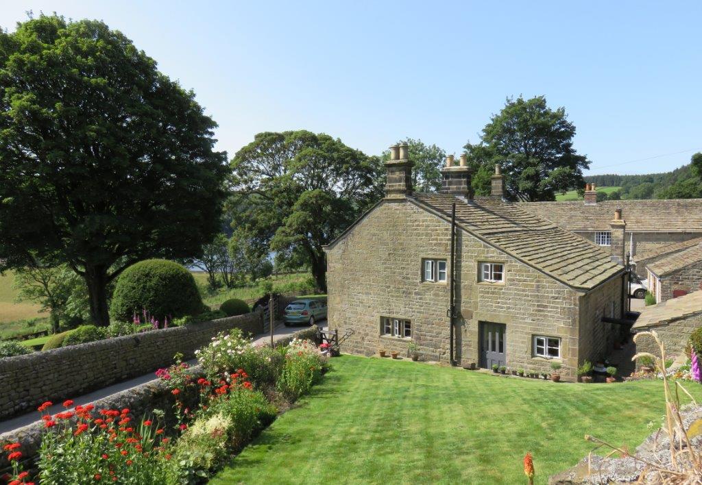
| Seen from Road - Dale Dike Reservoir embankment in front (water
just visible) with Strines Reservoir embkt behind
(spillway to left just visible). Boots Folly above. |
 |
| |
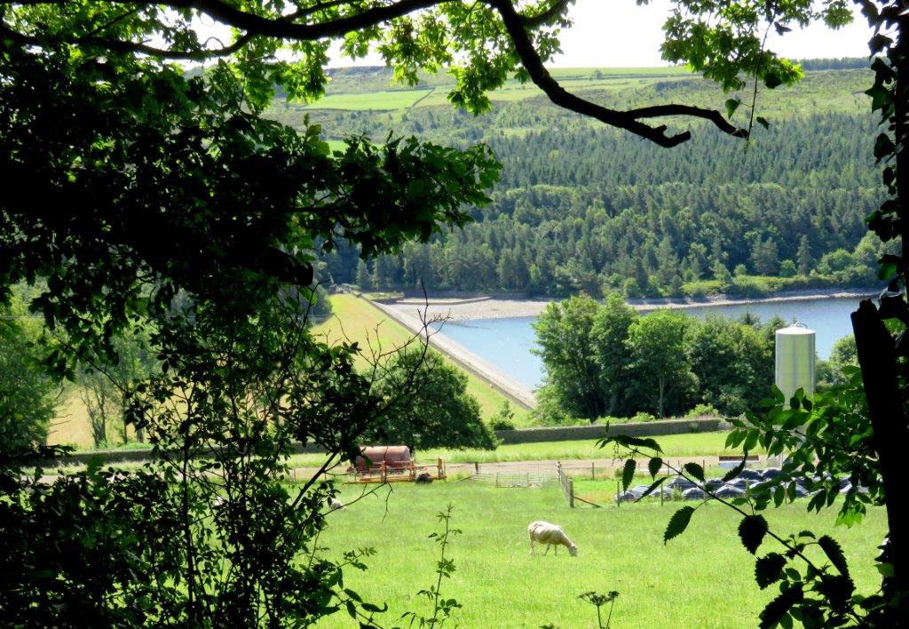 |
| Dale Dike Reservoir embankment |
 |
| |
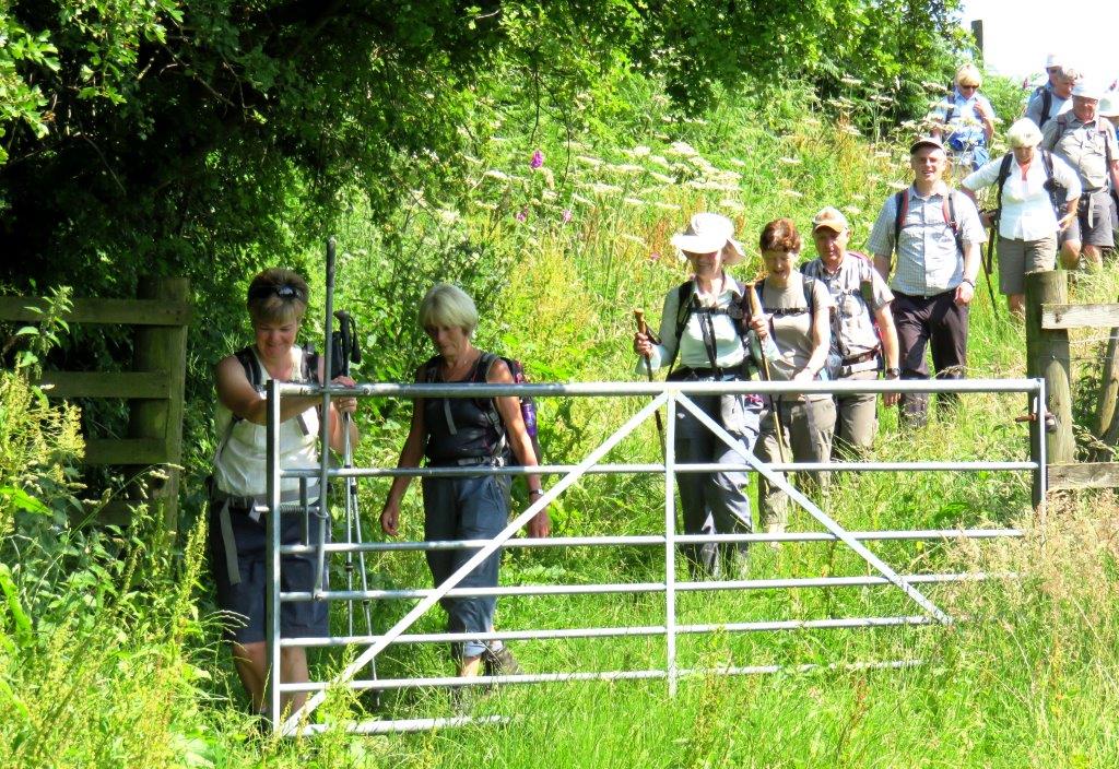 |
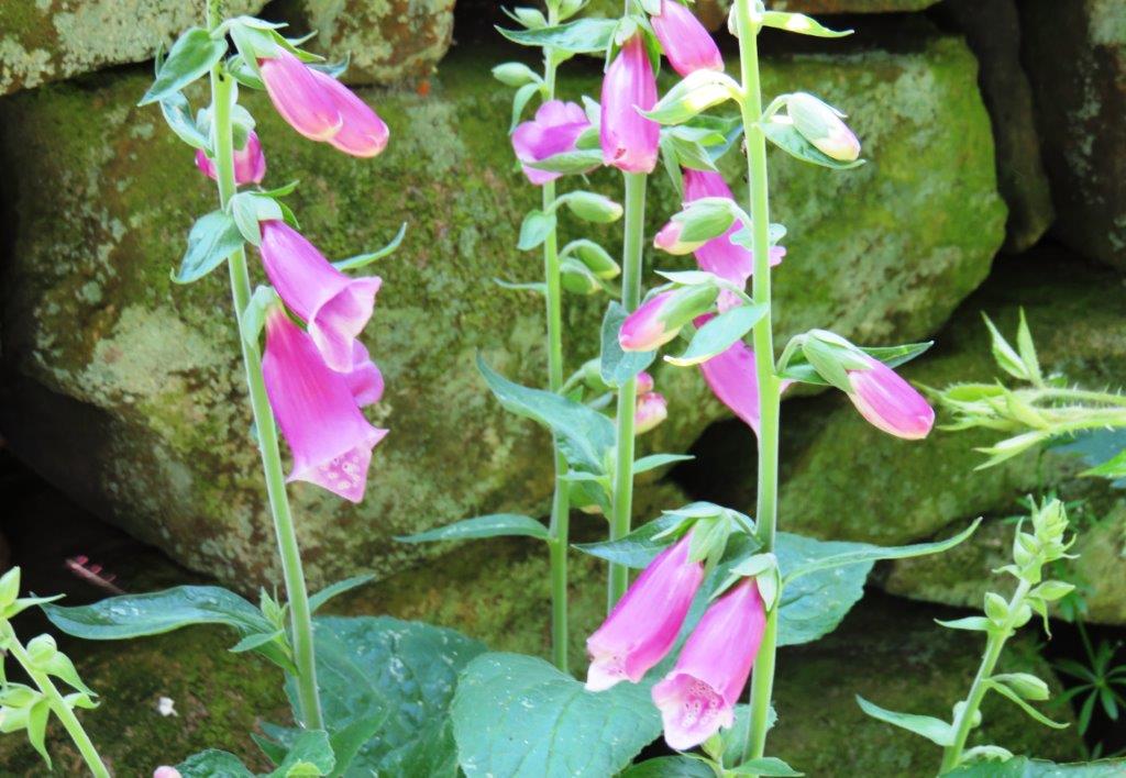
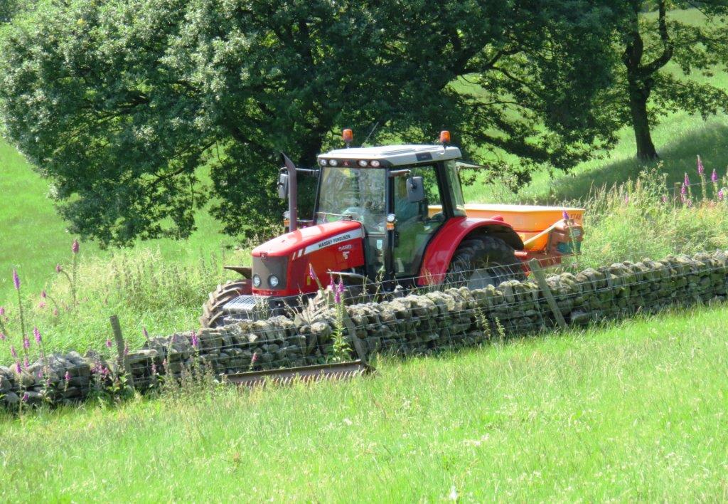
| entering Hall Lane |
 |
| |
 |
| |
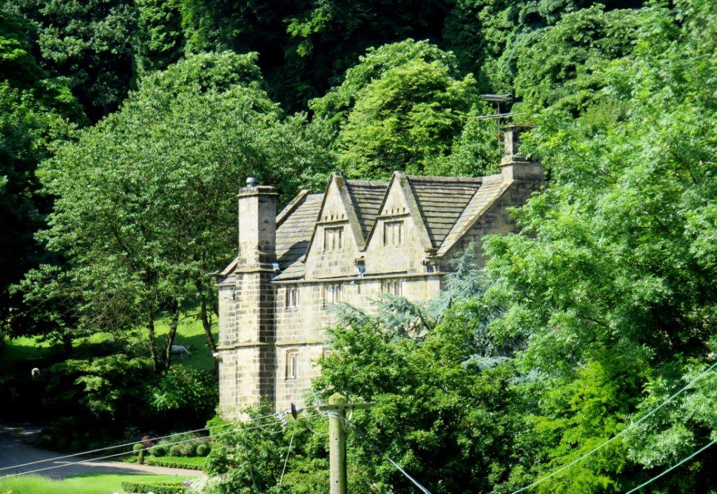 |
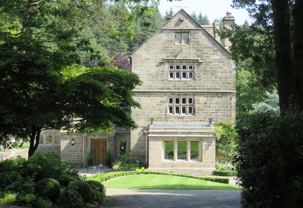
| Hallfield House |
 |
| |
 |
| |
 |
| |
 |
| |
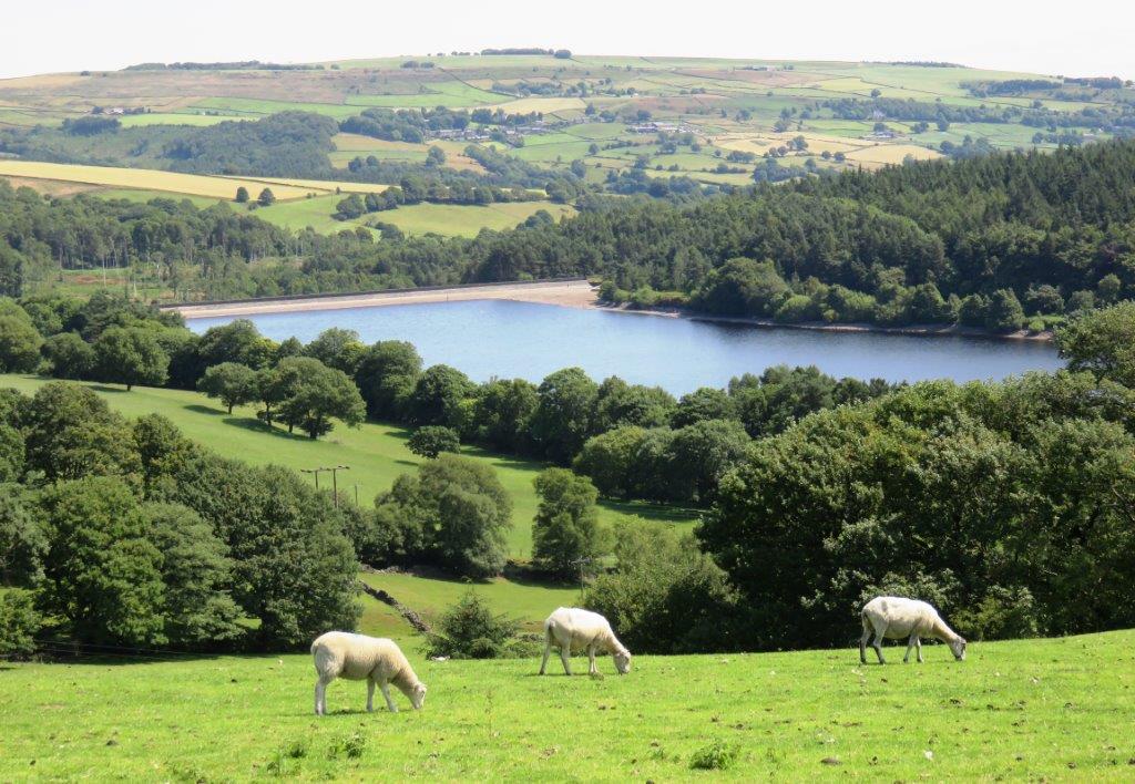 |
| looking back towards Dale Dike Reservoir |
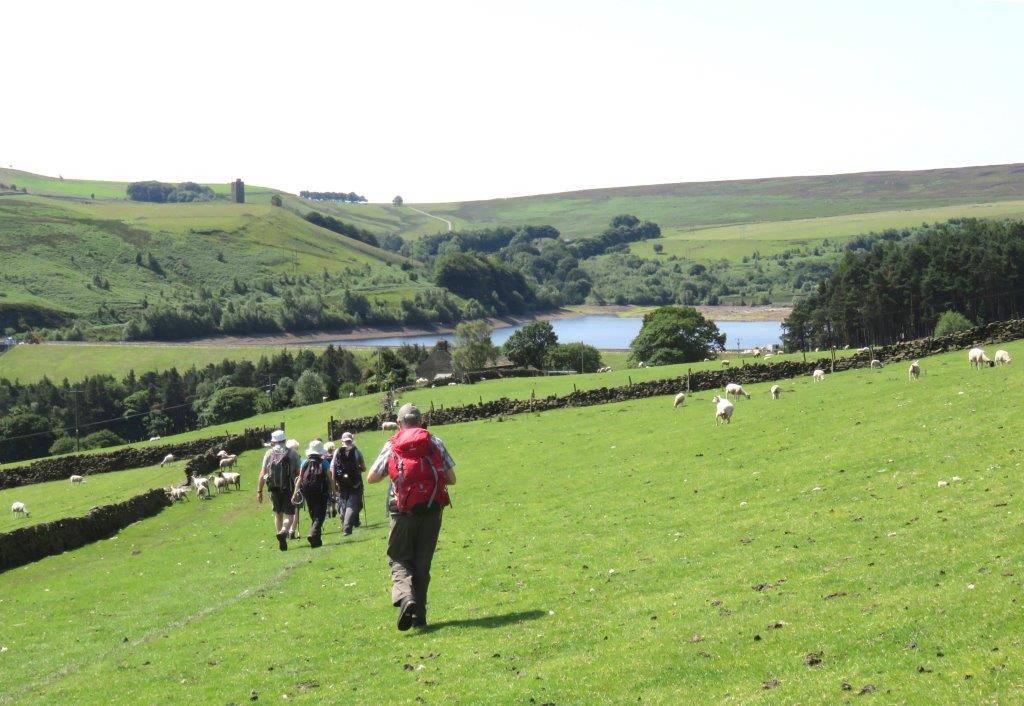 |
| walking towards Strines Reservoir - embankment & spillway in
middle of picture to left |
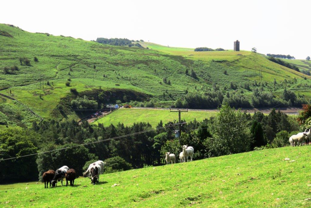 |
| Strines Reservoir Embankment |
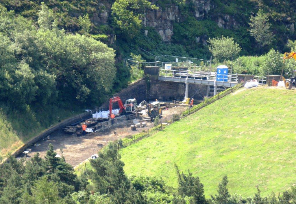 |
| remedial works on Strines Resrvoir Spillway |
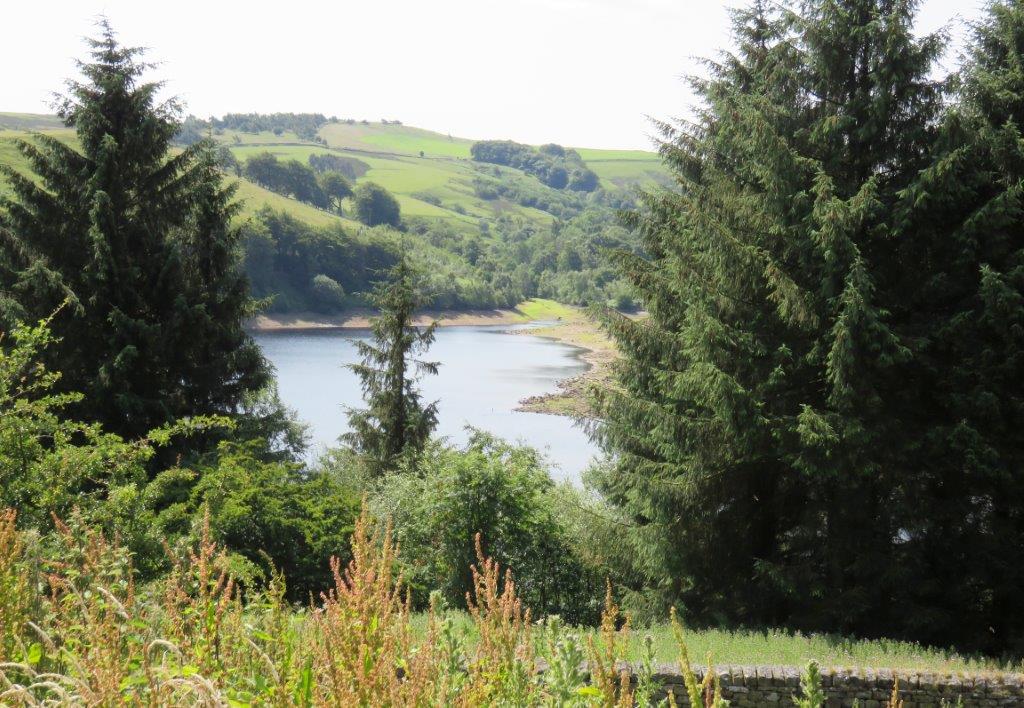 |
| part of Strines Reservoir |
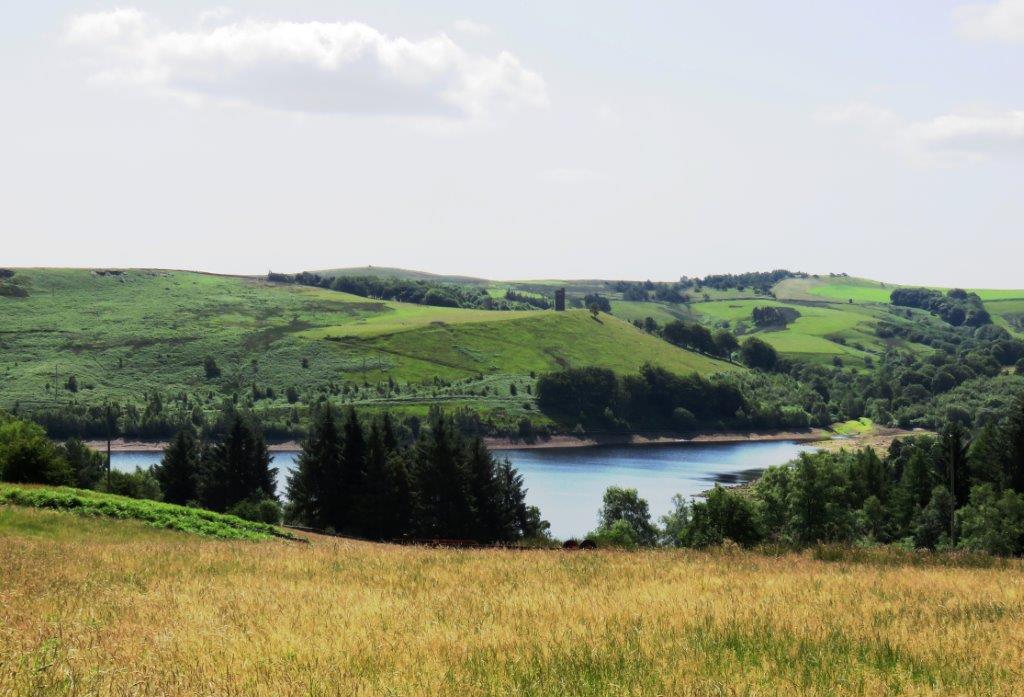 |
| Strines Reservoir |
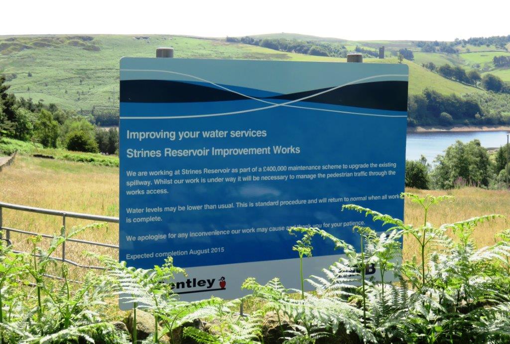 |
| Notice concerning improvement works on Strines Reservoir |
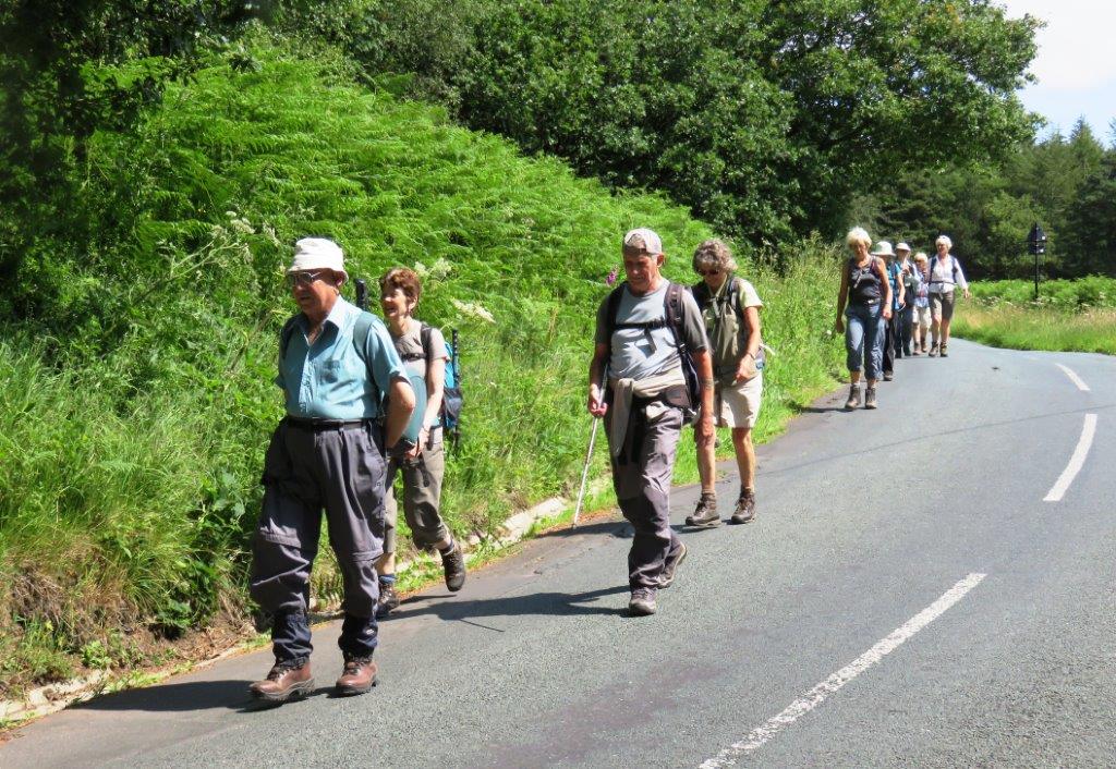 |
| walking towards Strines Bridge |
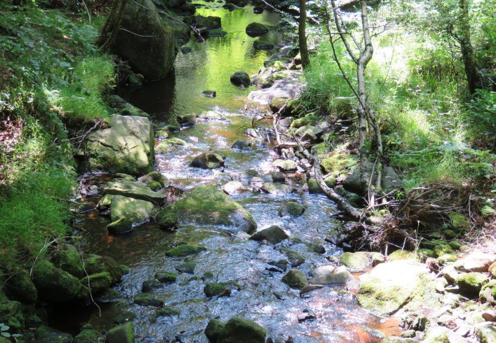 |
| Foulstone Dike - stream |
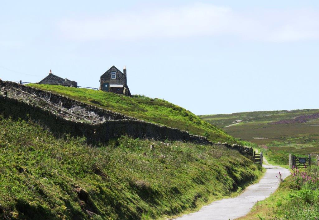 |
| Foulstone Road |
 |
| |
 |
| |
 |
| |
 |
| |
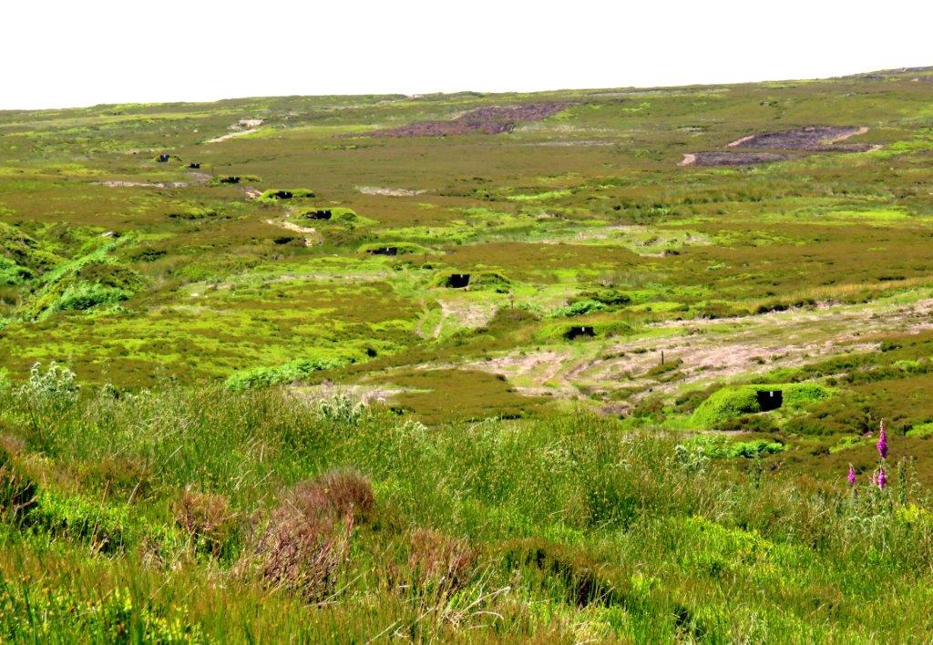 |
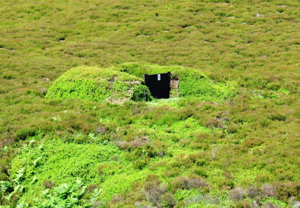
| shooting butts |
 |
| |
 |
| |
 |
| |
 |
| |
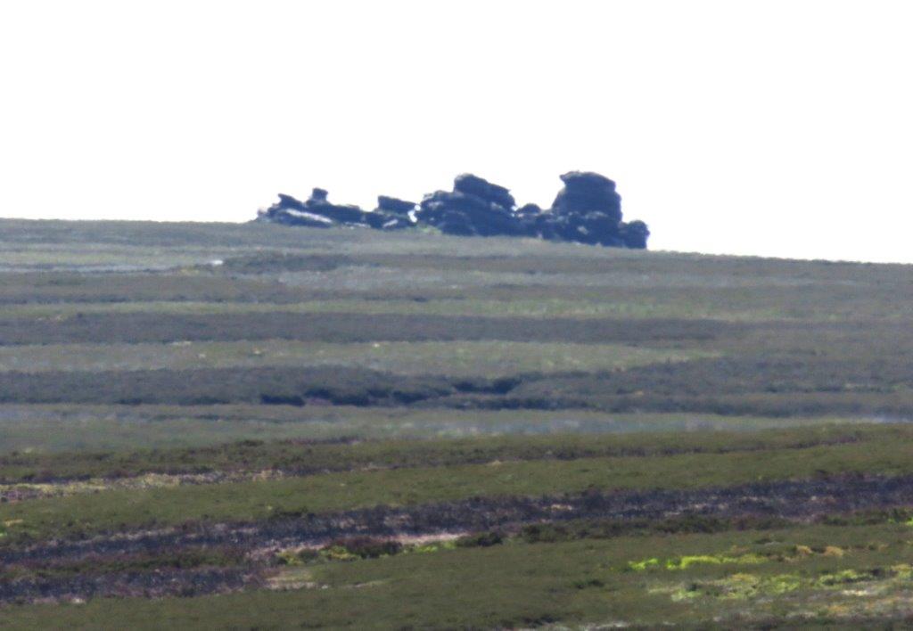 |
| Wheel Stones in the distance |
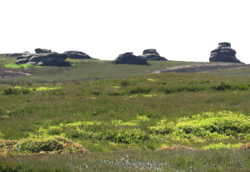 |
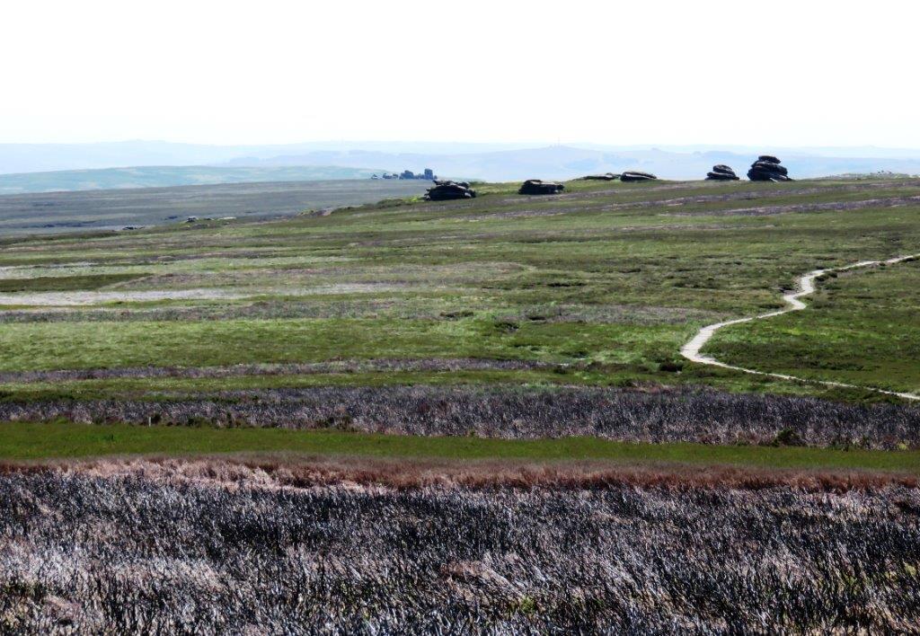
| Cakes of Bread? in the distance |
 |
| |
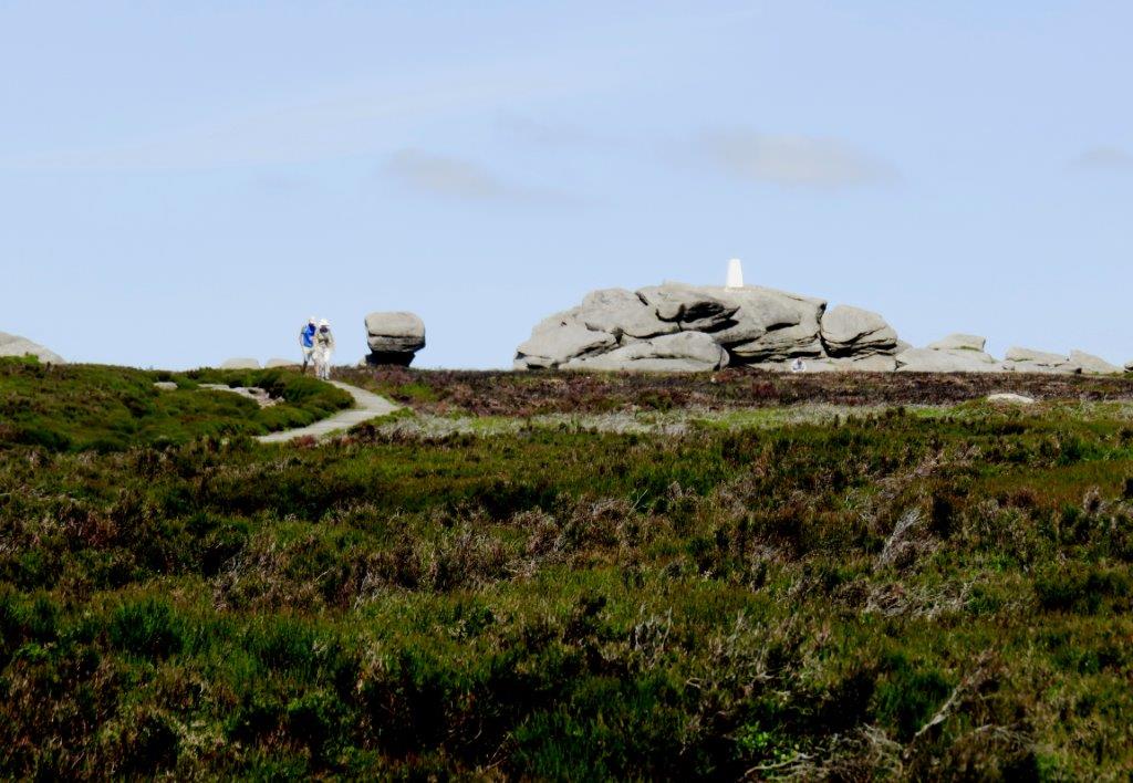 |
| looking behind to Back Tor |
 |
| |
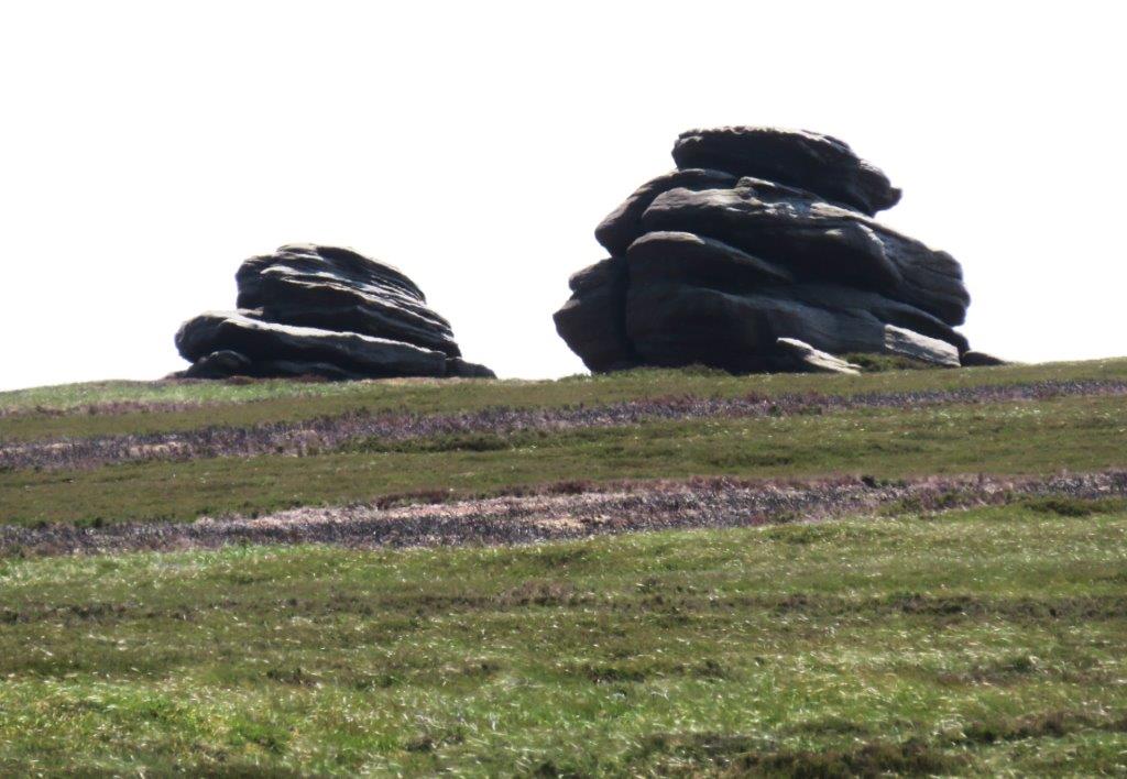 |
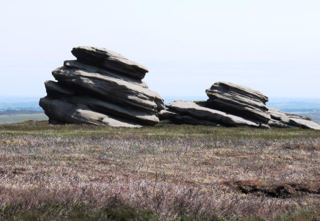
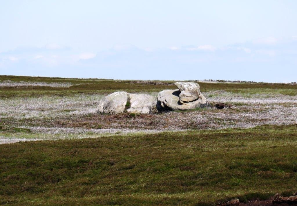
| Cakes of Bread? |
 |
| |
 |
| |
 |
| |
 |
| |
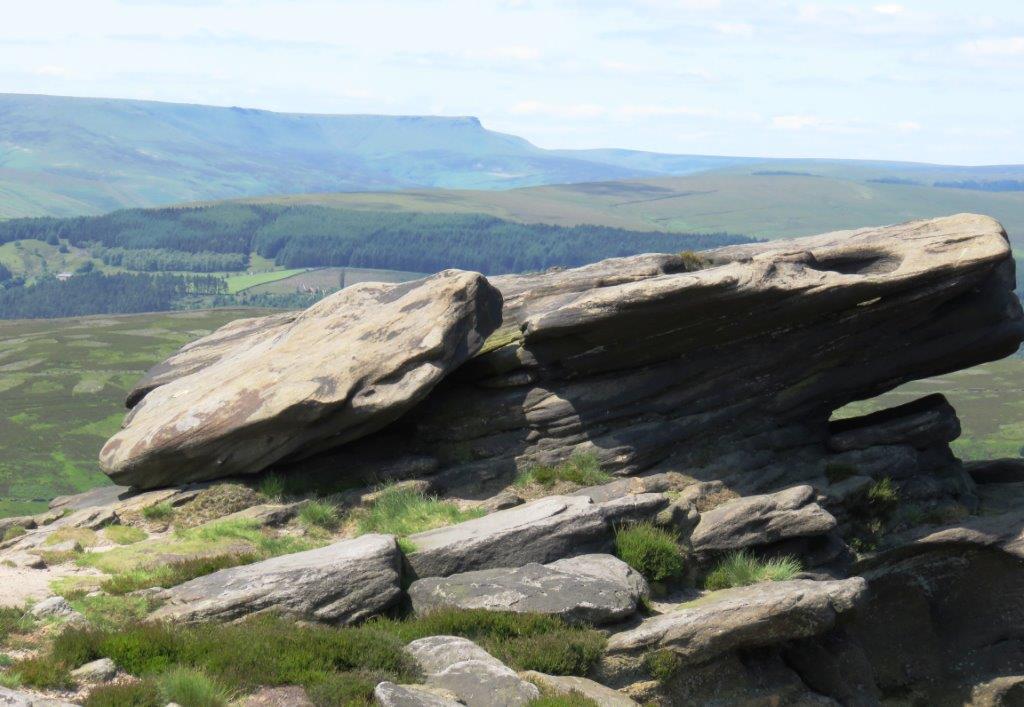 |
| Kinder plateau on skyline |
 |
| |
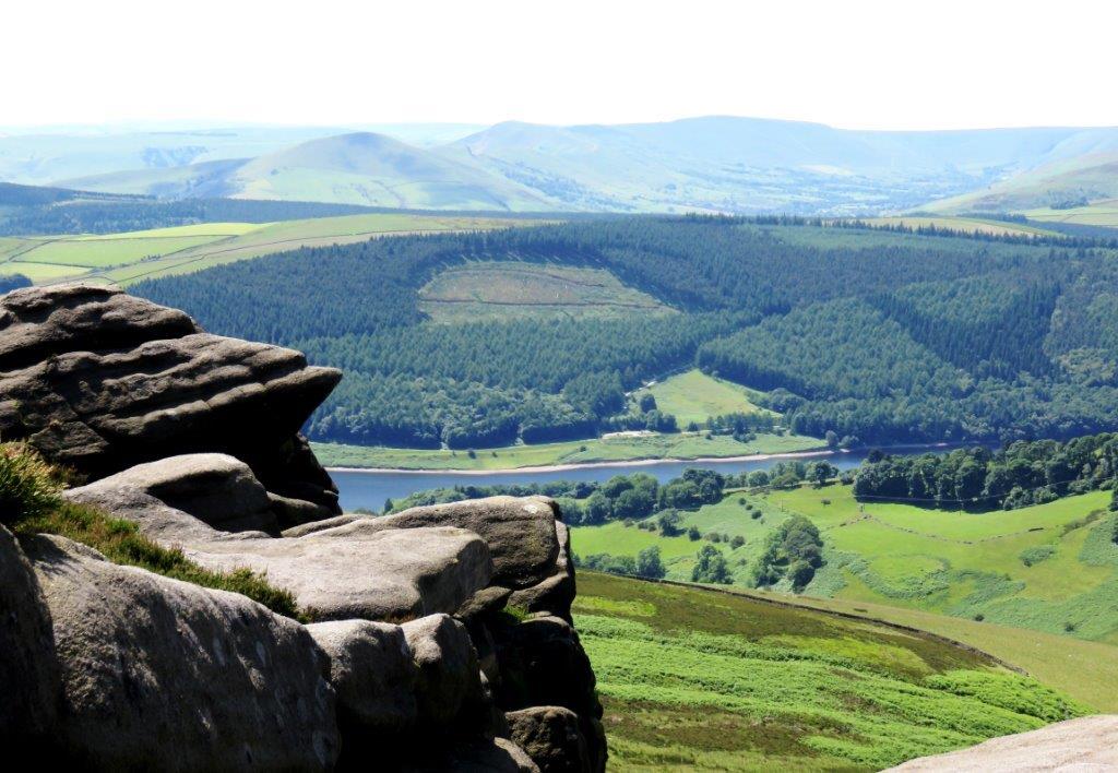 |
| part of Ladybower Reservoir below |
 |
| |
 |
| |
 |
| |
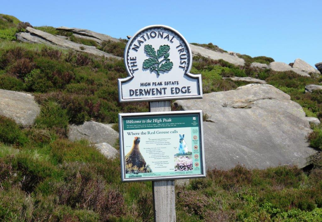 |
| National Trust - High Peak |
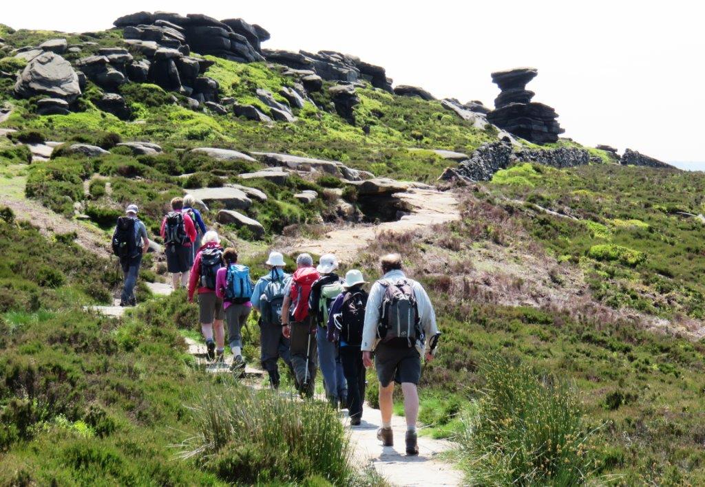 |
| Salt Cellar? |
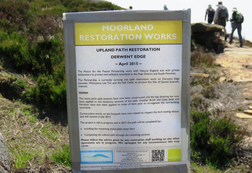 |
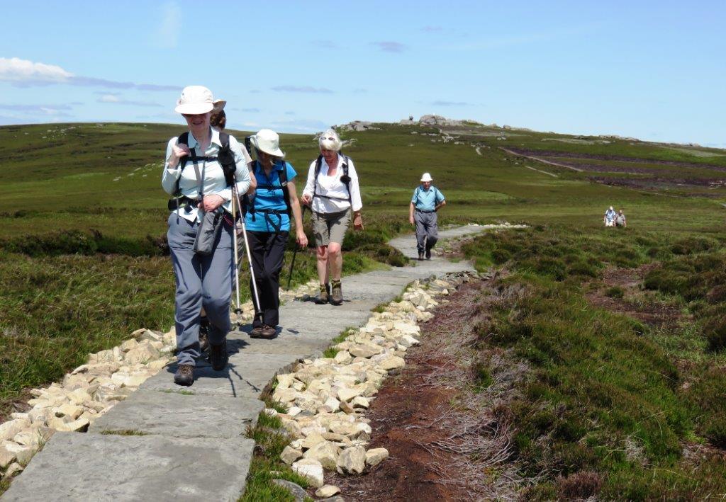
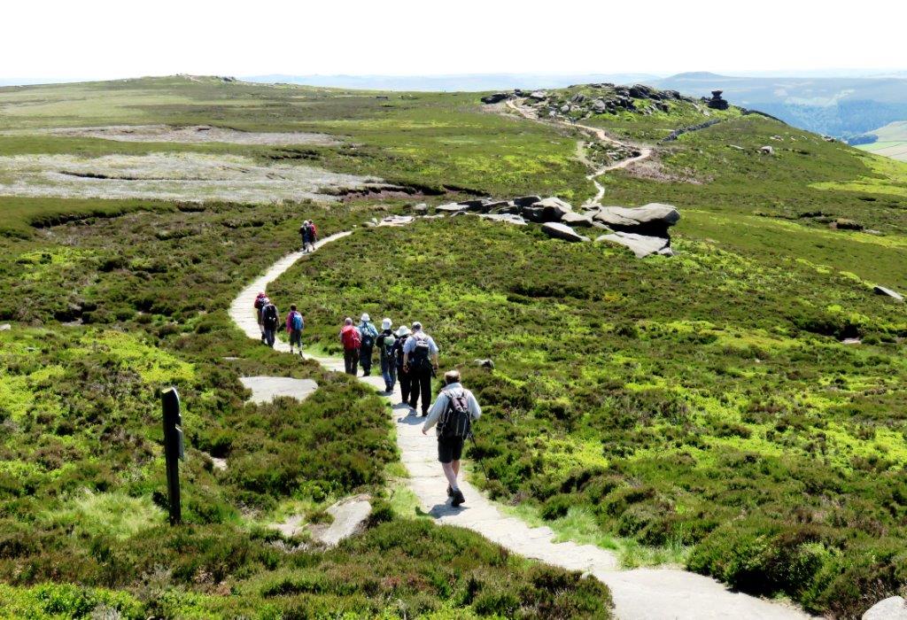
| Moorland restoration works - path on Derwent Edge |
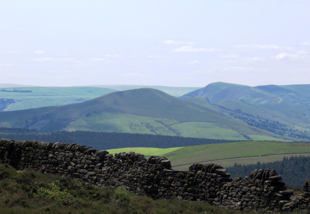 |
| Lose Hill, Back Tor*, Mam Tor visible * a
different one to that seen earlier |
 |
| |
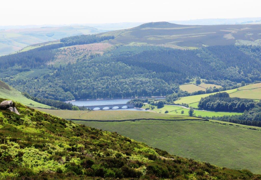 |
| Win Hill with Ashopton Viaduct crossing part of Ladybower
Reservoir below |
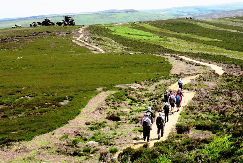 |
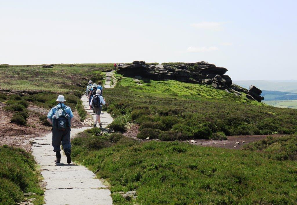
| approaching Wheel Stones |
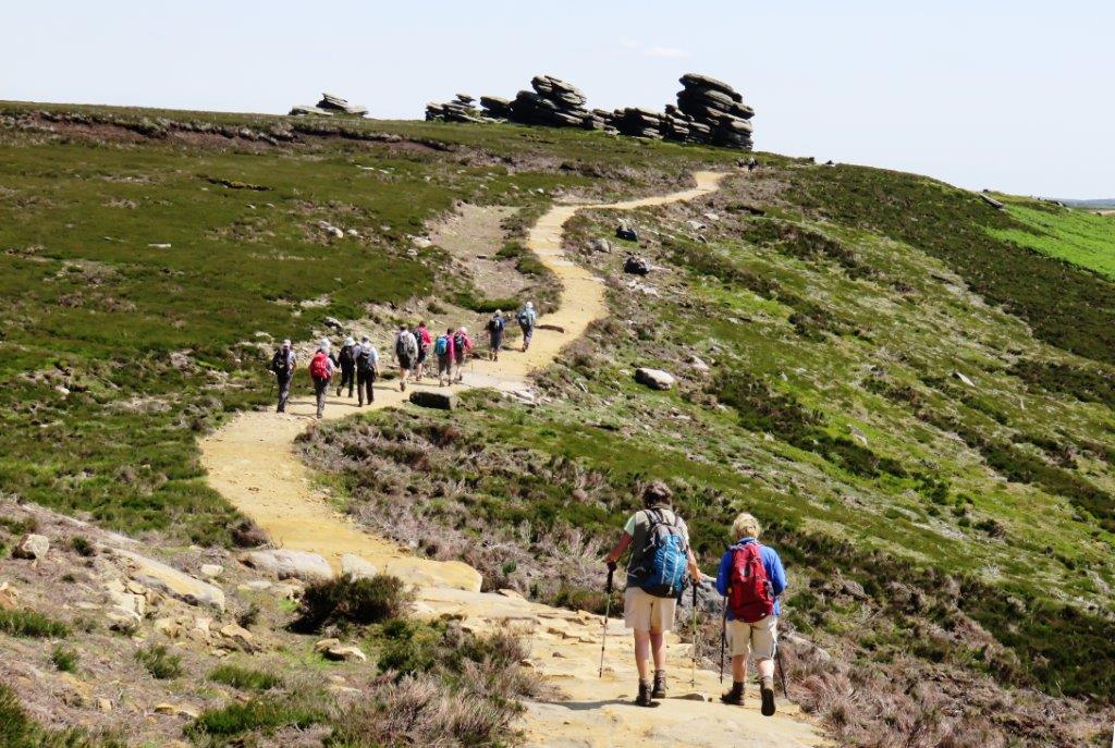 |
| |
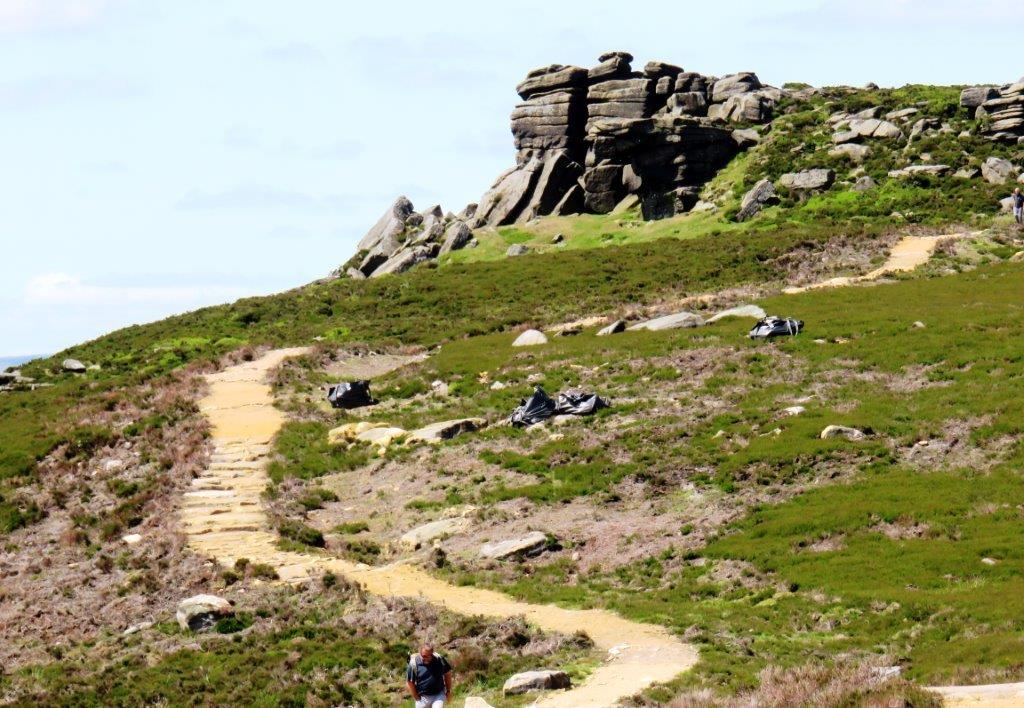 |
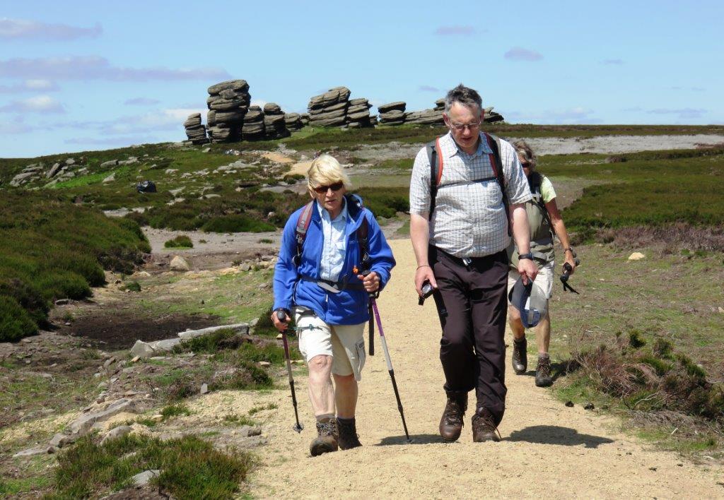
| looking back |
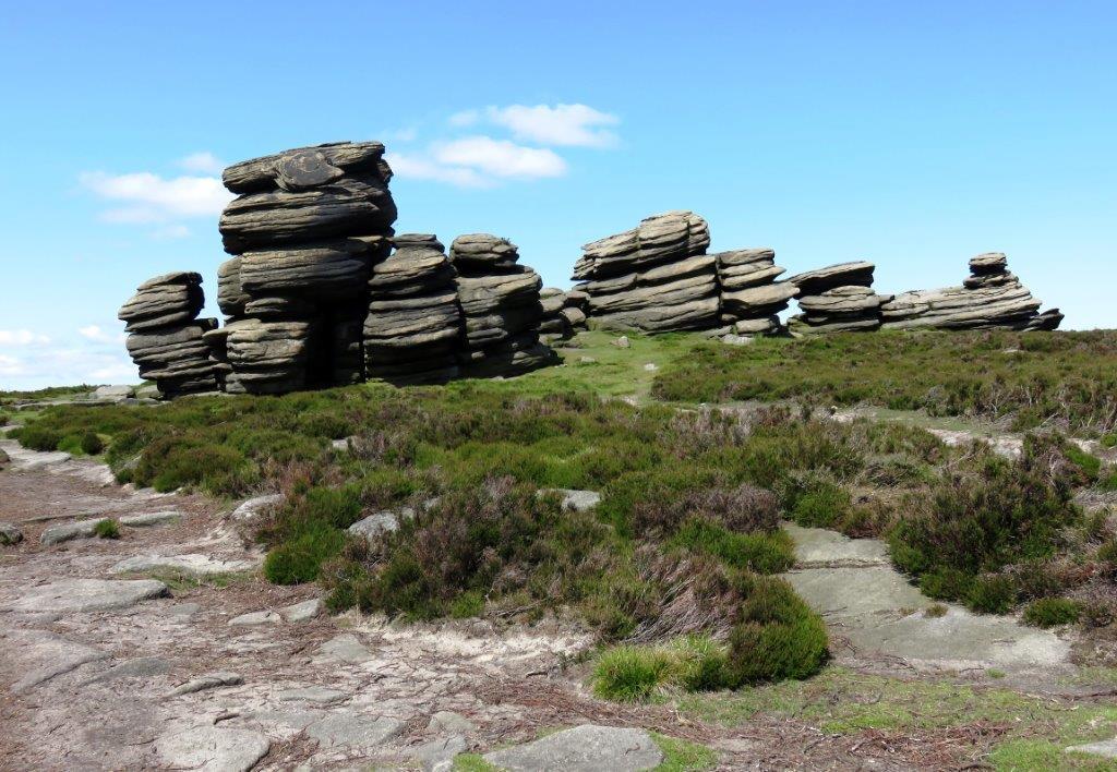 |
| |
 |
| |
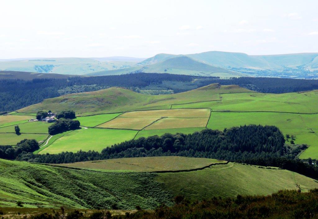 |
| Crookhill Farm to left |
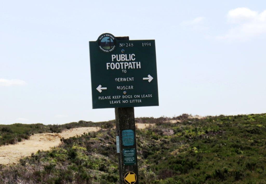 |
| signpost - down to Moscar |
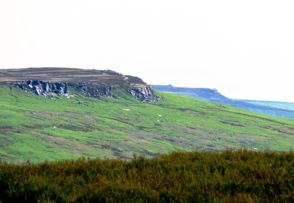 |
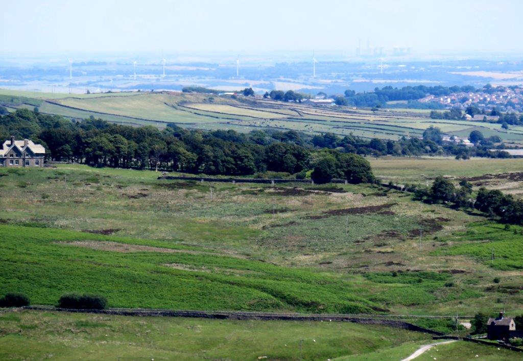
| looking toward Stanage Edge |
 |
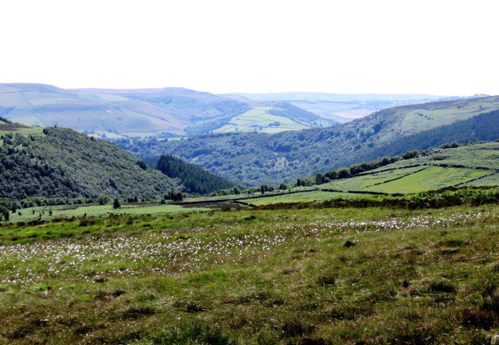
| Moscar Lodge to left? |
 |
| |
 |
| |
 |
| |
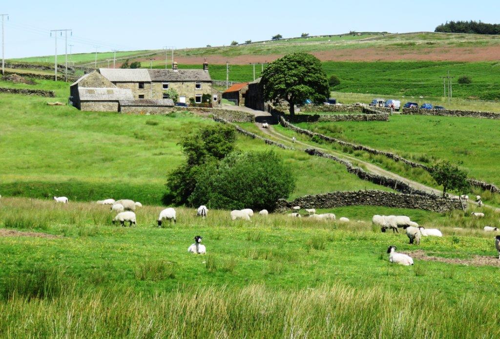 |
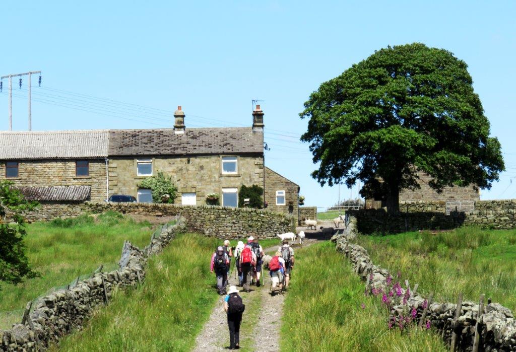
| Moscar House |
 |
| |
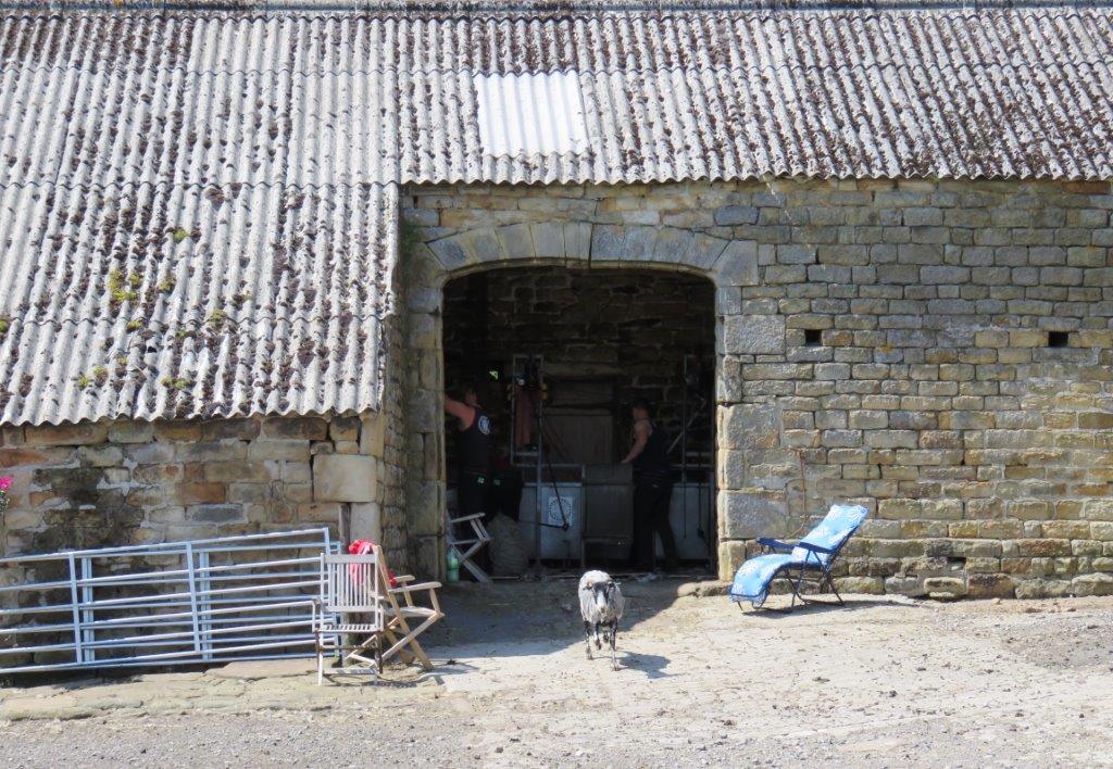 |
| sheep shearing in progress |
 |
| |
 |
| |
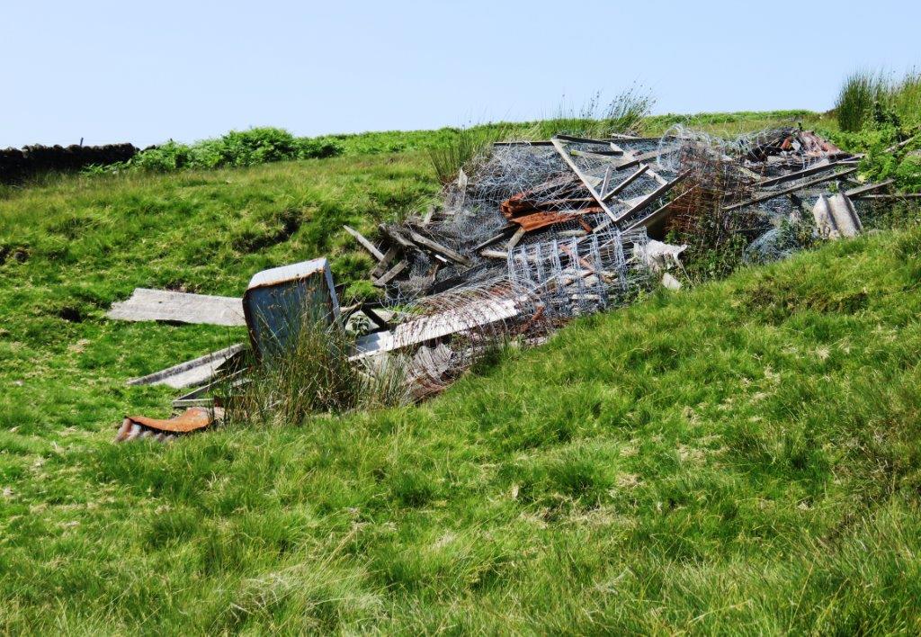 |
| any old iron? - awaiting collection for past 10 years? |
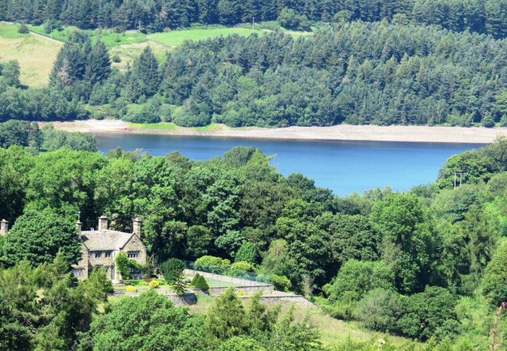 |
| Bents House - Strines Reservoir behind |
 |
| |
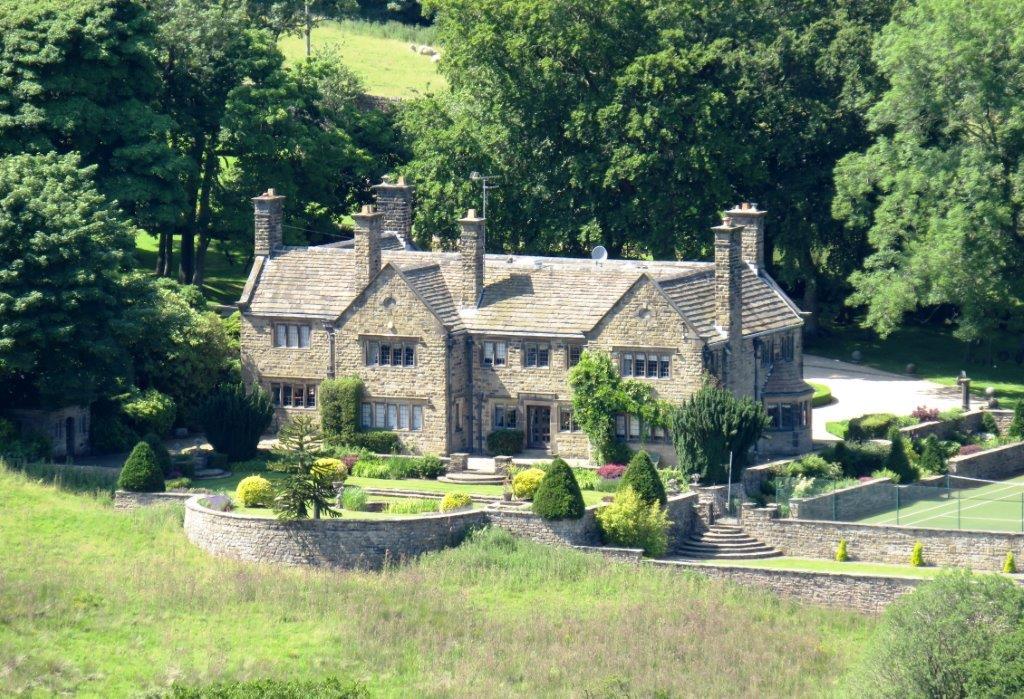 |
| Bents House |
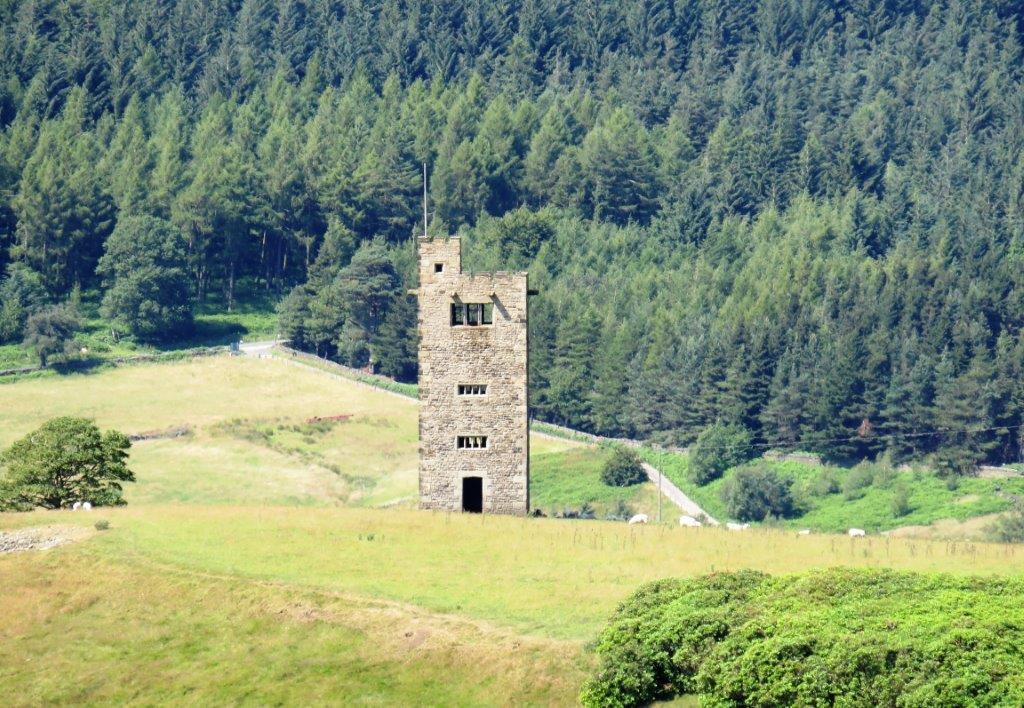 |
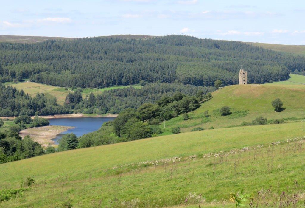
| Boots Folly |
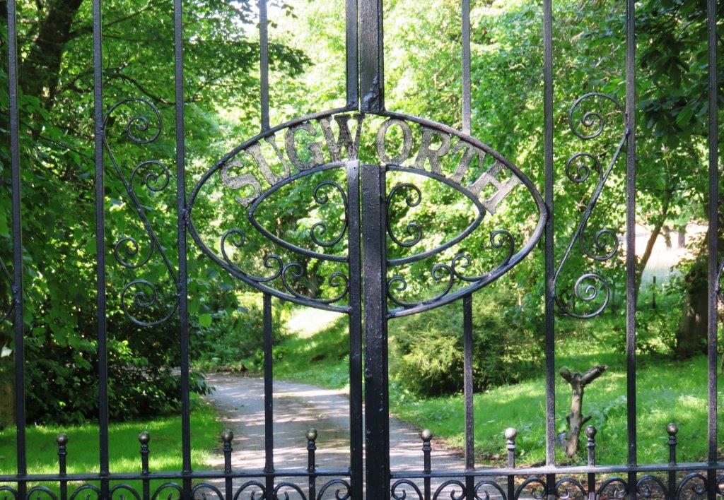 |
| gates to Sugworth Hall |
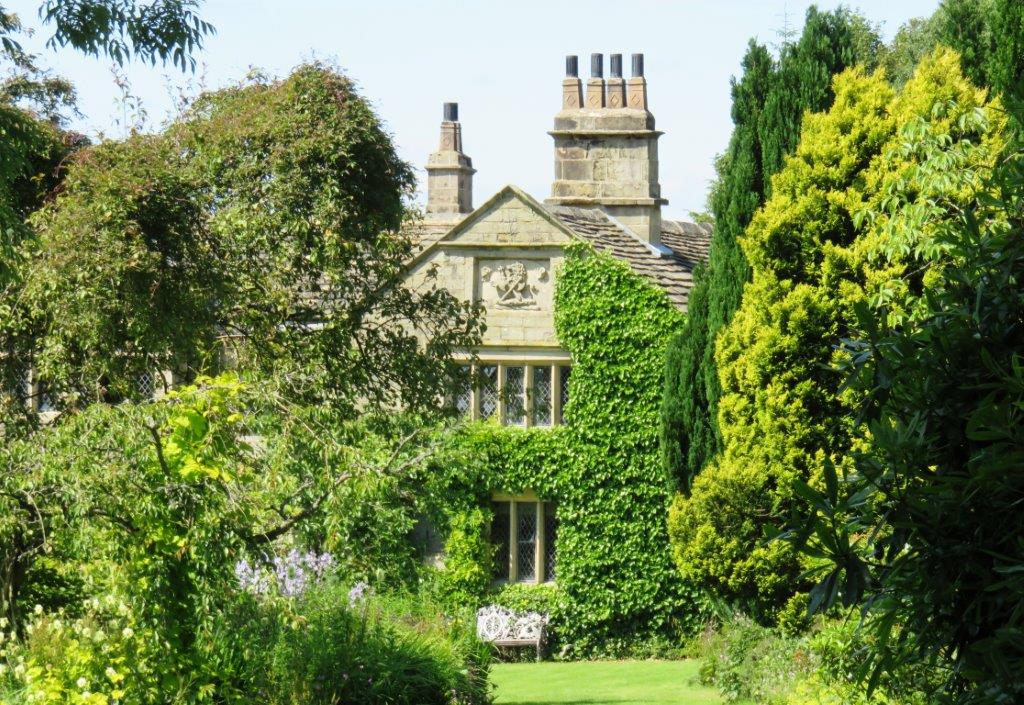 |
| Sugworth Hall |
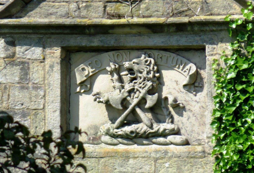 |
| DEO NON FORTUNA? (from God not mere good luck?) |
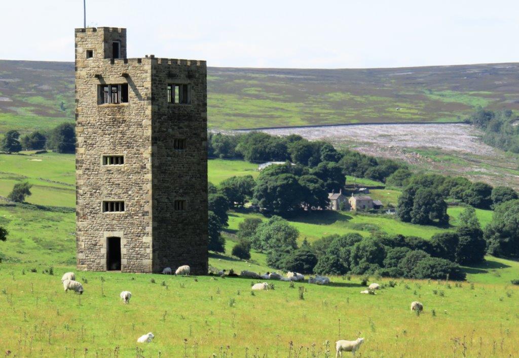 |
| Boots Folly |
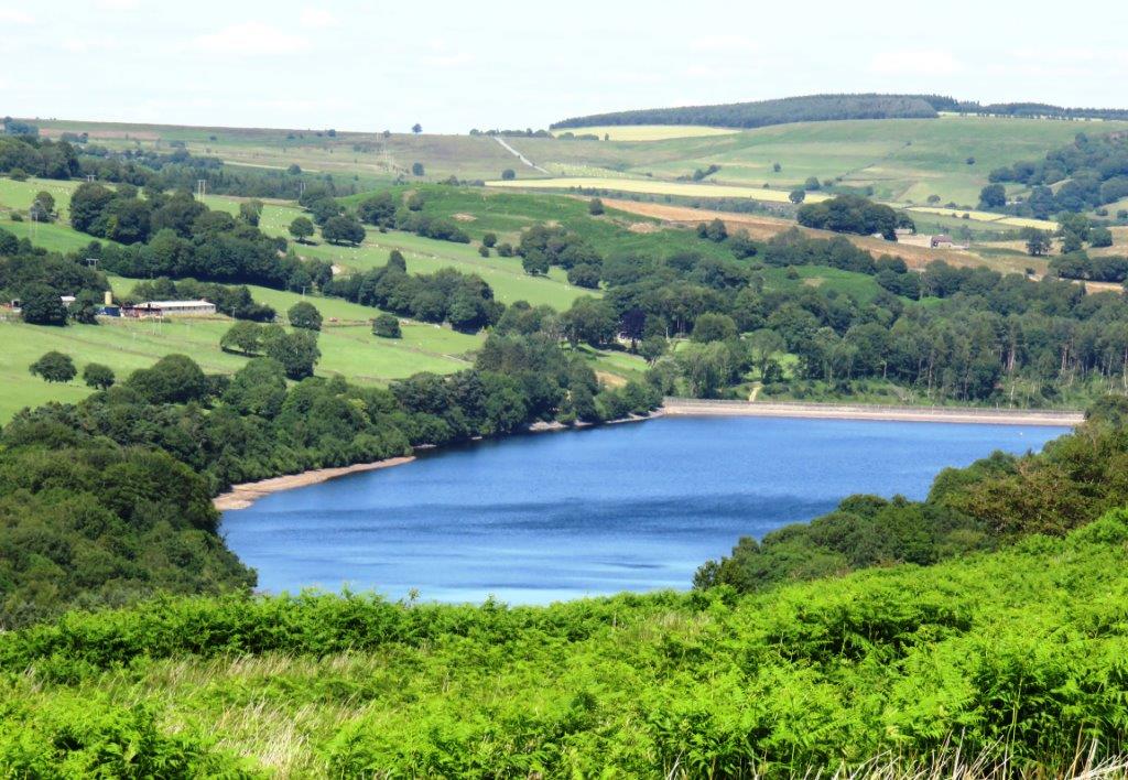 |
| Dale Dike Reservoir seen before Strines Reservoir which is
hidden below from the path.. |
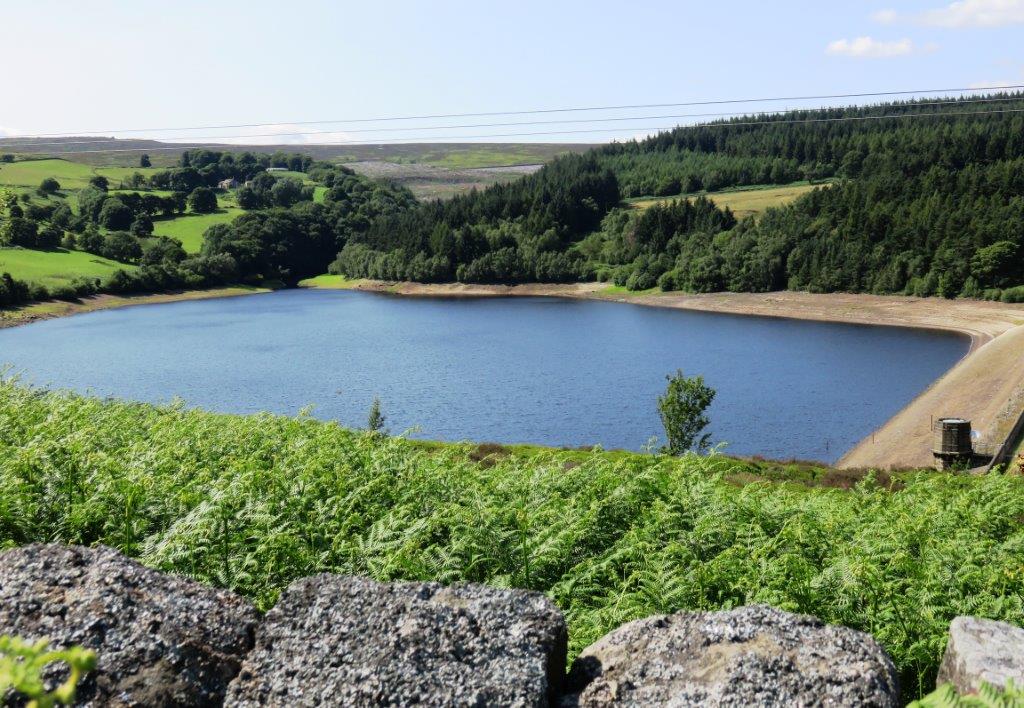 |
| Strines Reservoir |
 |
| |
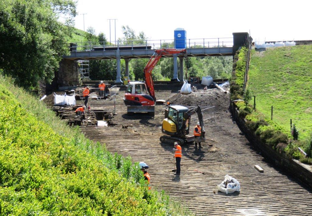 |
| Strines Reservoir Spillway works again |
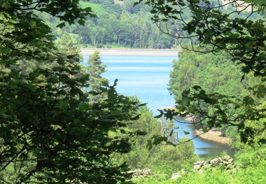 |
| Dale Dike Reservoir |
 |
| |
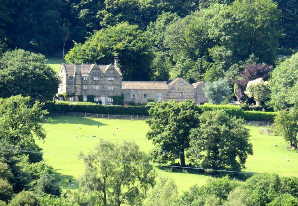 |
| Hallfield House seen from far side of Dale Dike Reservoir
|
 |
| |
 |
| |
 |
| |
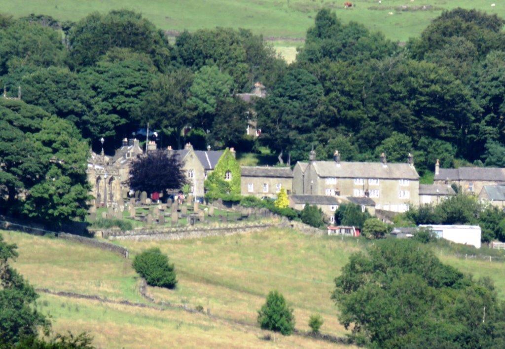 |
| zoomed in to High Bradfield - church to left -see later
picture |
 |
| |
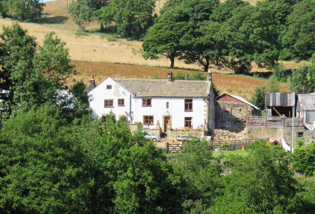 |
| Walker House seen from across Dale Dike stream? |
 |
| |
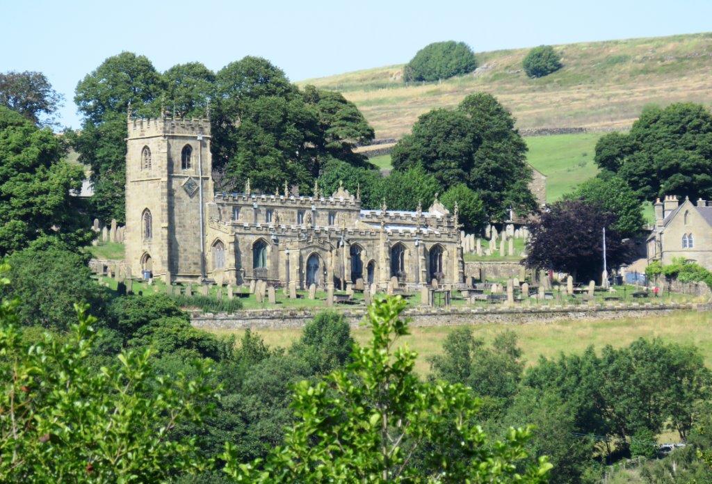 |
| High Bradfield Church |
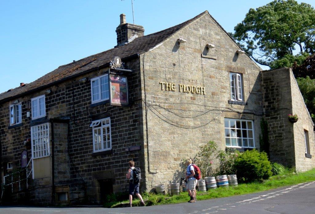 |
| The Plough (PH) |
 |
| |
 |
| |
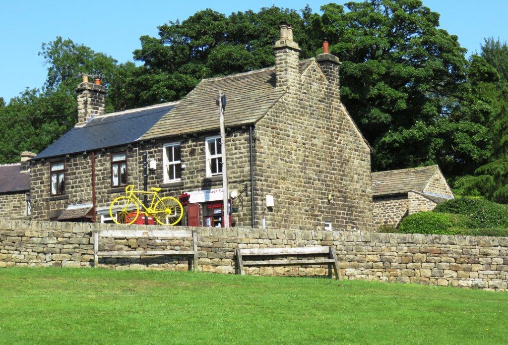 |
| The Post Office (where the walk started). Tour de France
bike in front. |
homepage - Day Walks
Index 2015 - contact me at


