homepage - Day Walks
Index 2015 - contact me at

2015.02.18 - Oughtibridge, Wharncliffe Wood, More Hall &
Broomhead Reservoirs, up to Load Field Road, up to & along White Lee Moor, cross
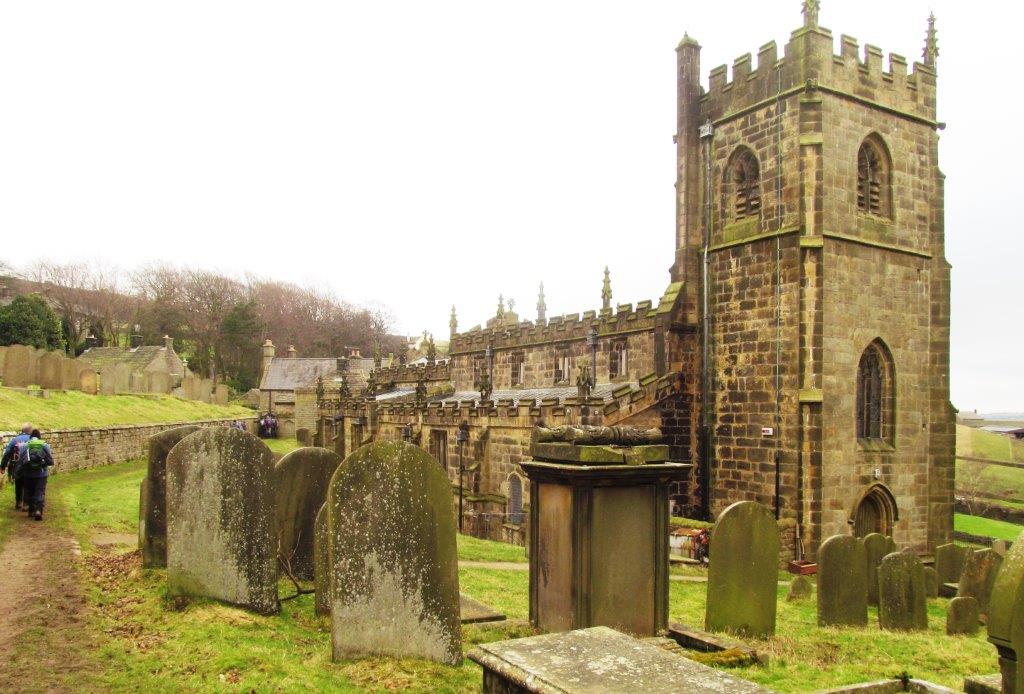
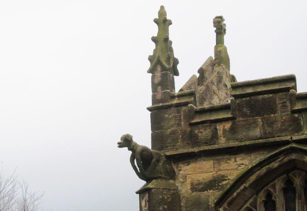
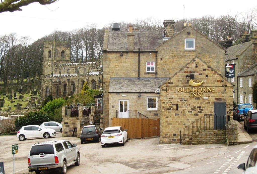
Penistone Road, top Rocher Rocks, graveyard, church & village of High Bradfield
- leader Dave Jefferies - Wednesday
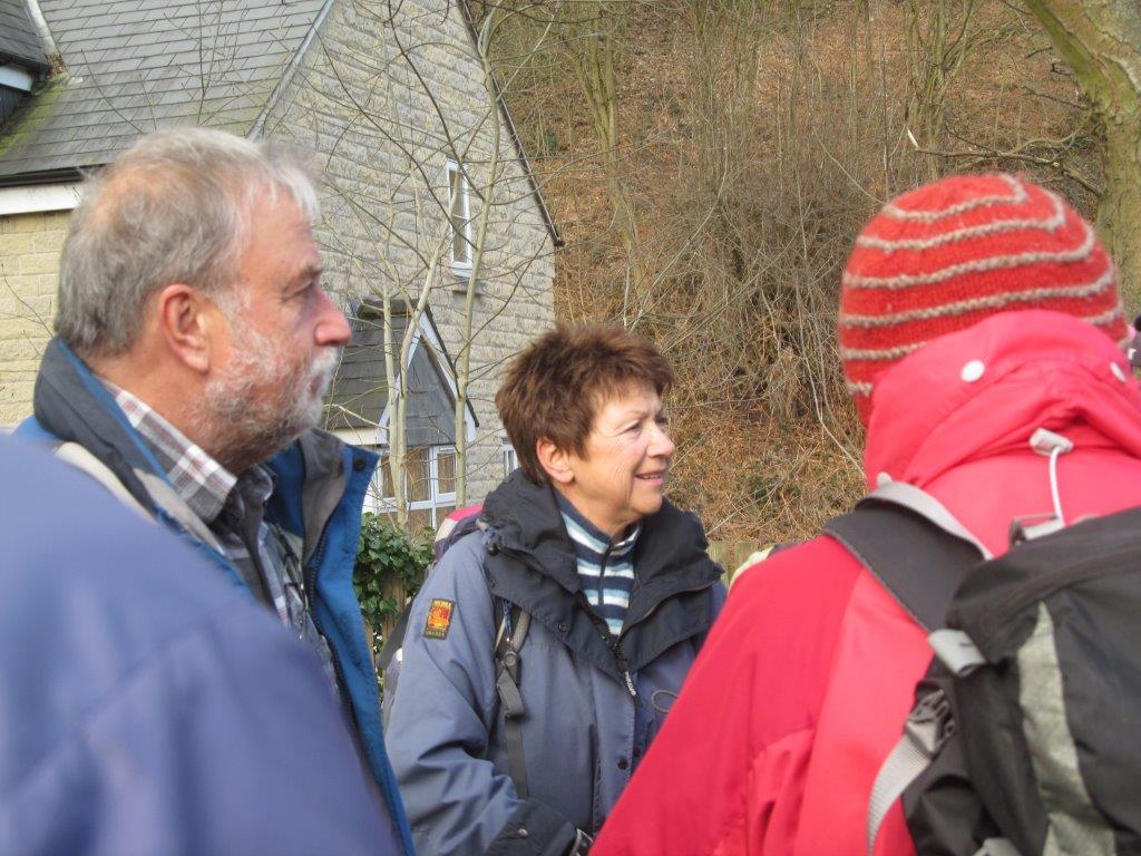 |
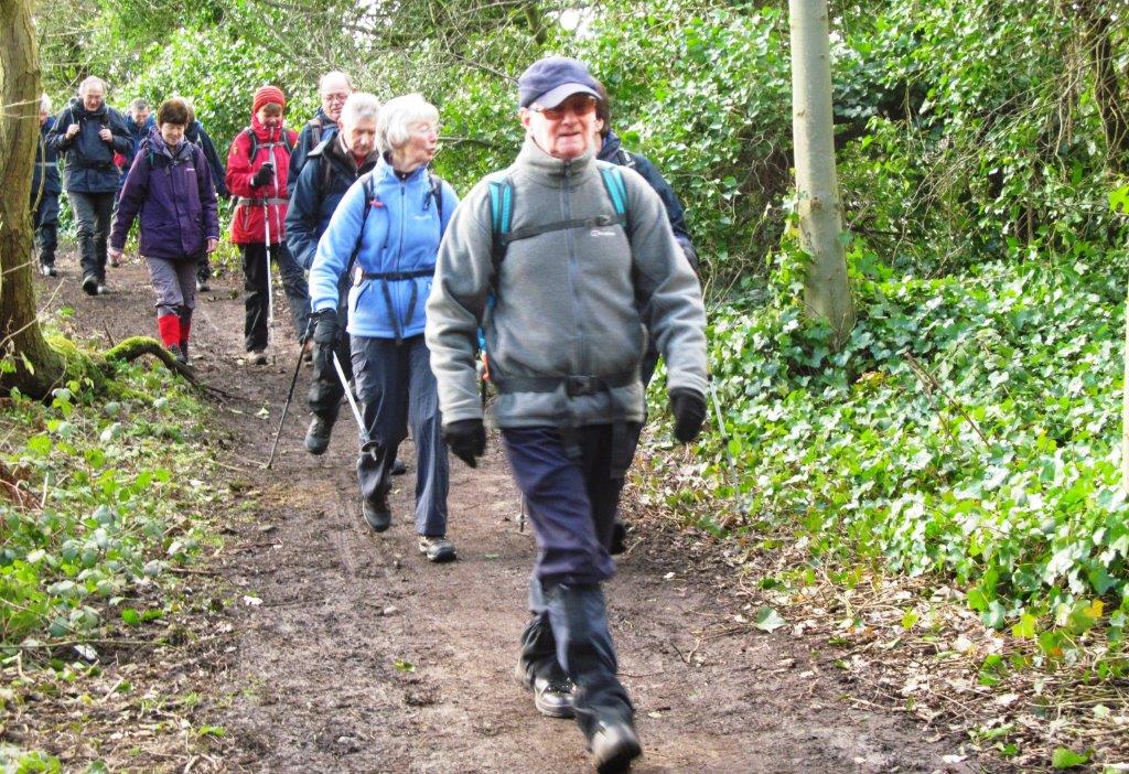
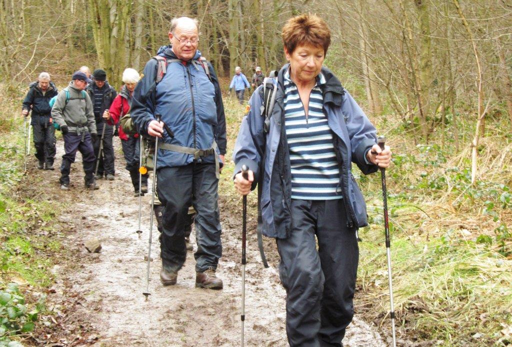
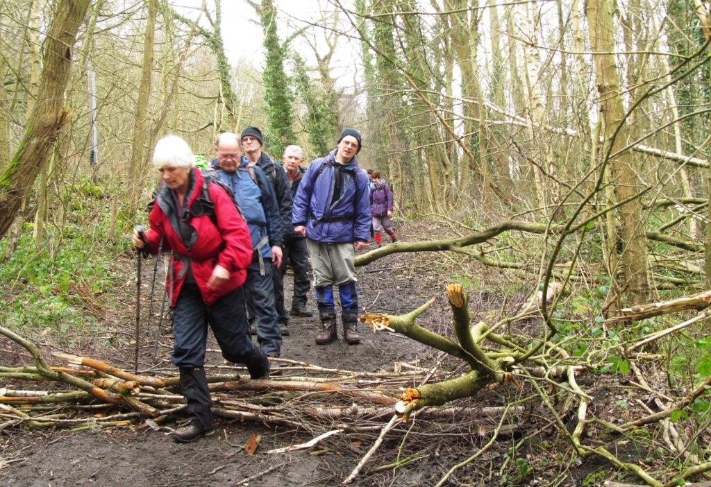
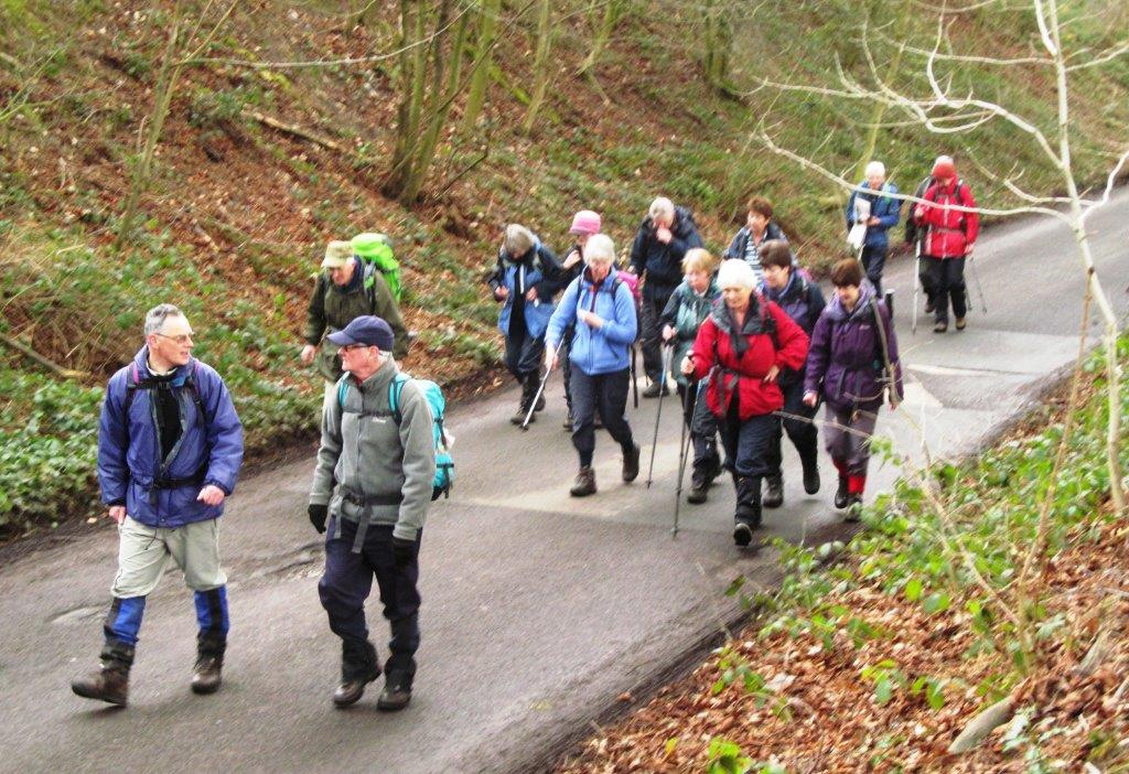
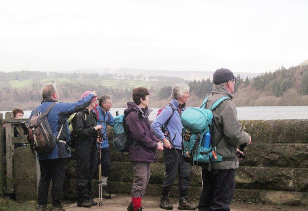
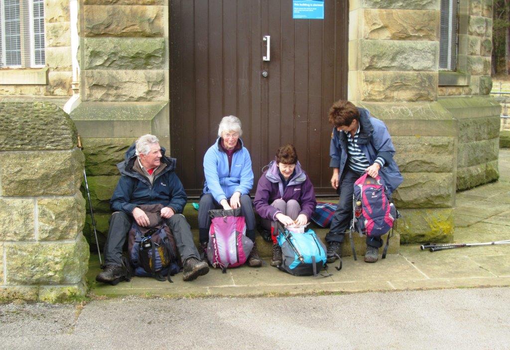
| briefing at Oughtibridge |
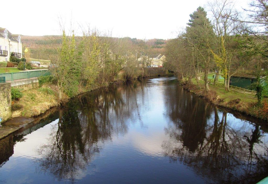 |
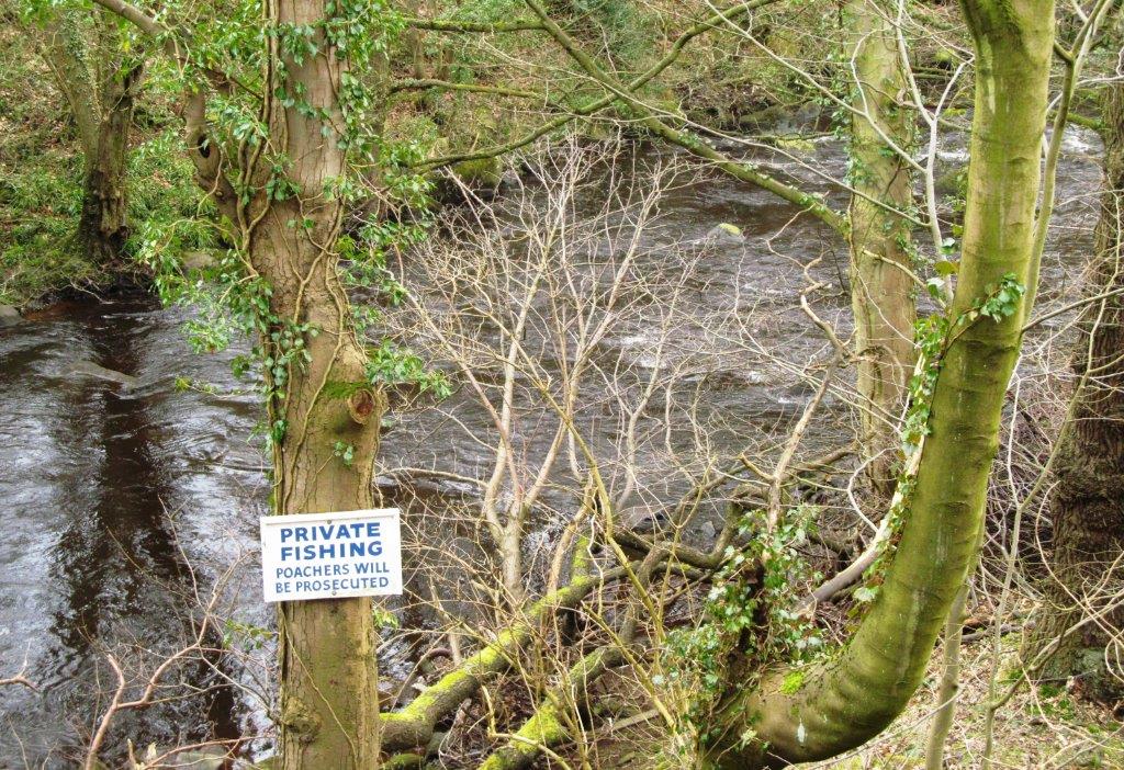
| River Don upstream side of bridge |
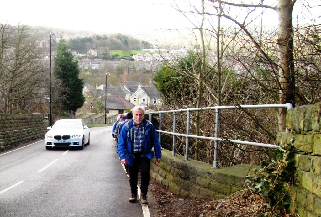 |
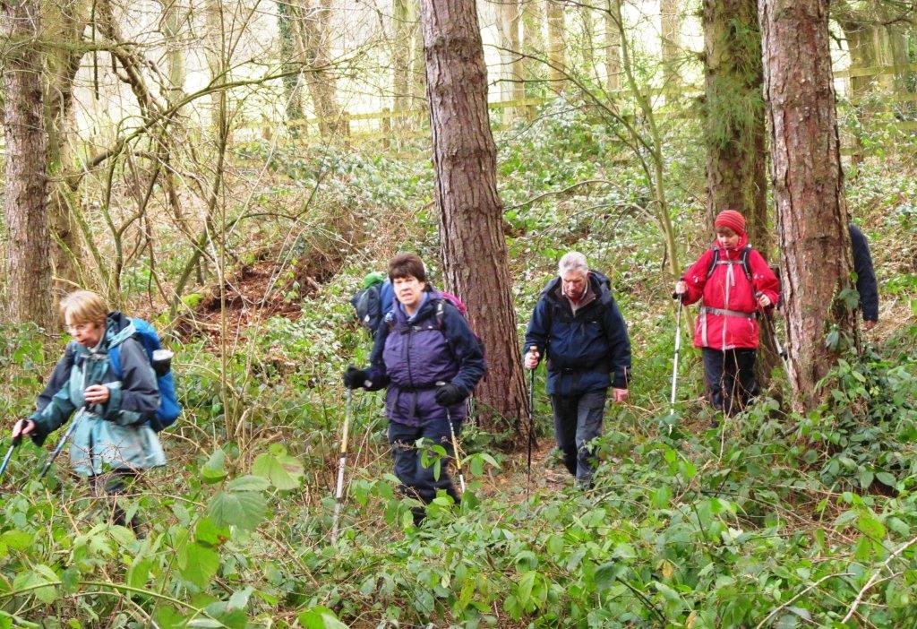
| crossing narrow road bridge over railway (no other alternative
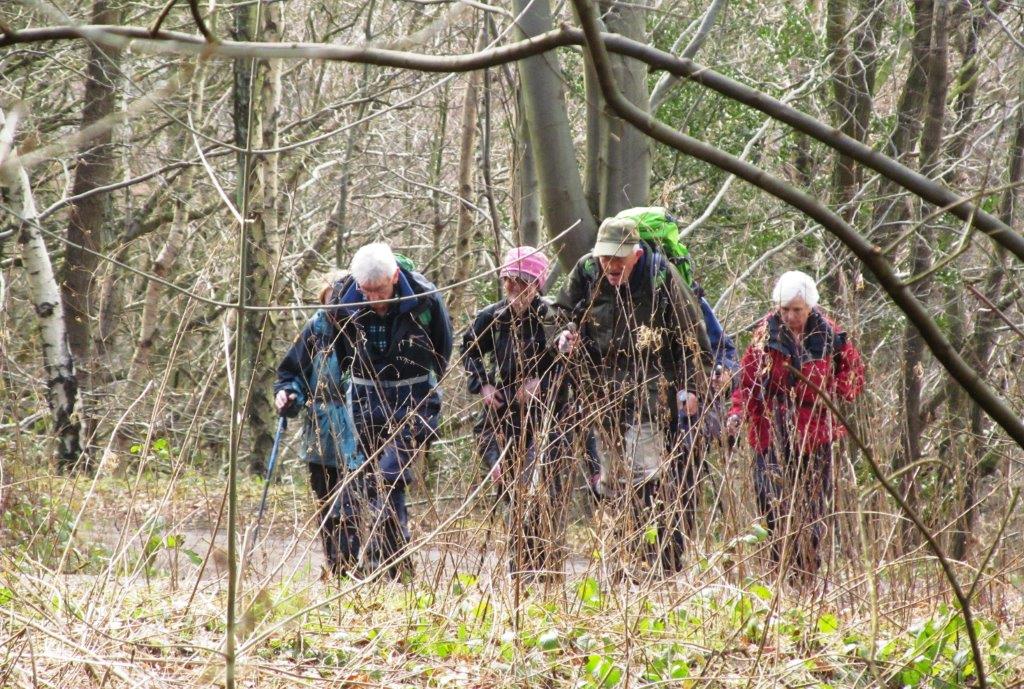
route) & left into Wharncliffe Wood |
 |
| |
 |
| |
 |
| |
 |
| |
 |
| |
 |
| |
 |
| |
 |
| |
 |
| |
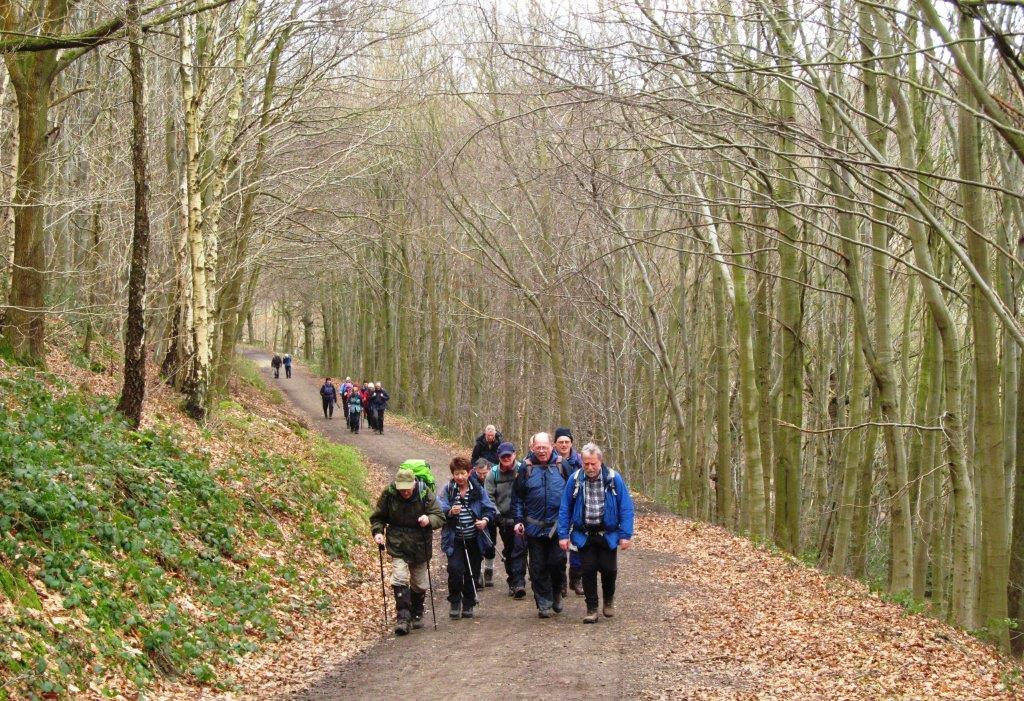 |
| |
 |
| |
 |
| |
 |
| |
 |
| |
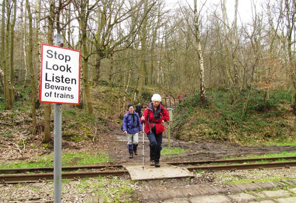 |
| crossing railway lines going toward Stocksbridge Steelworks |
 |
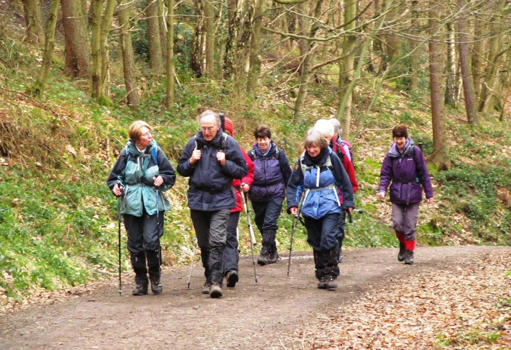
| |
 |
| |
 |
| |
 |
| |
 |
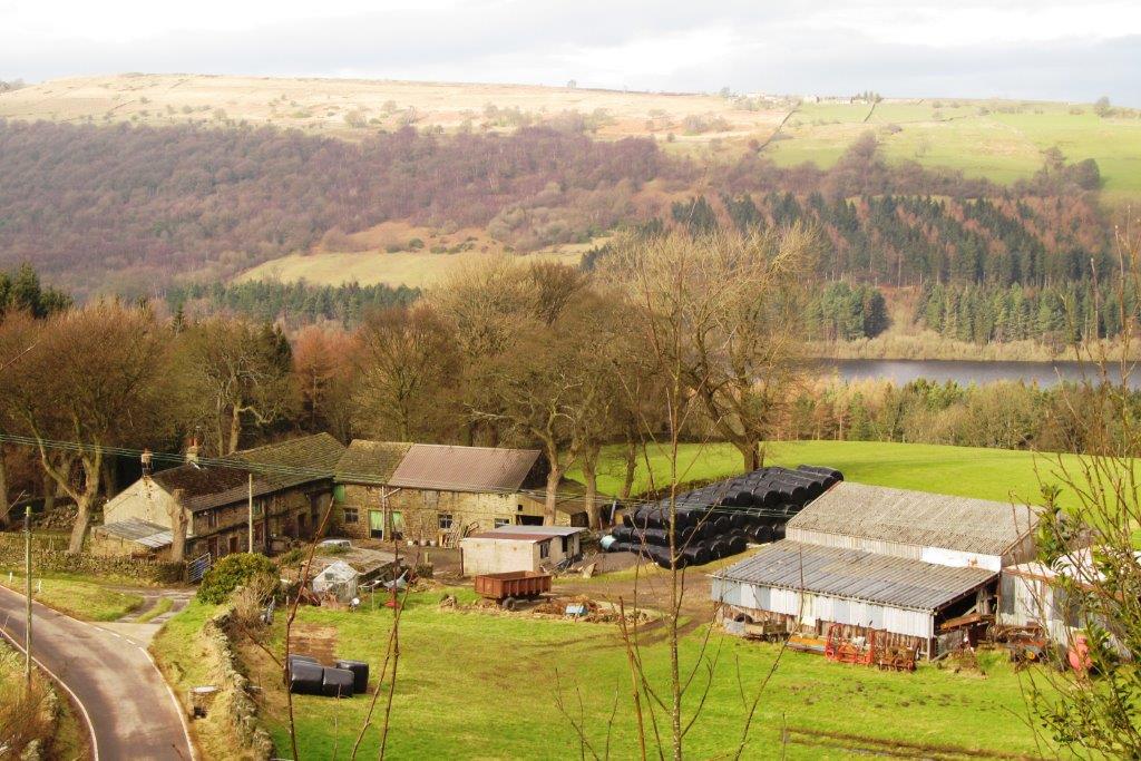
| crossed the River Don towards More Hall |
 |
| |
 |
| |
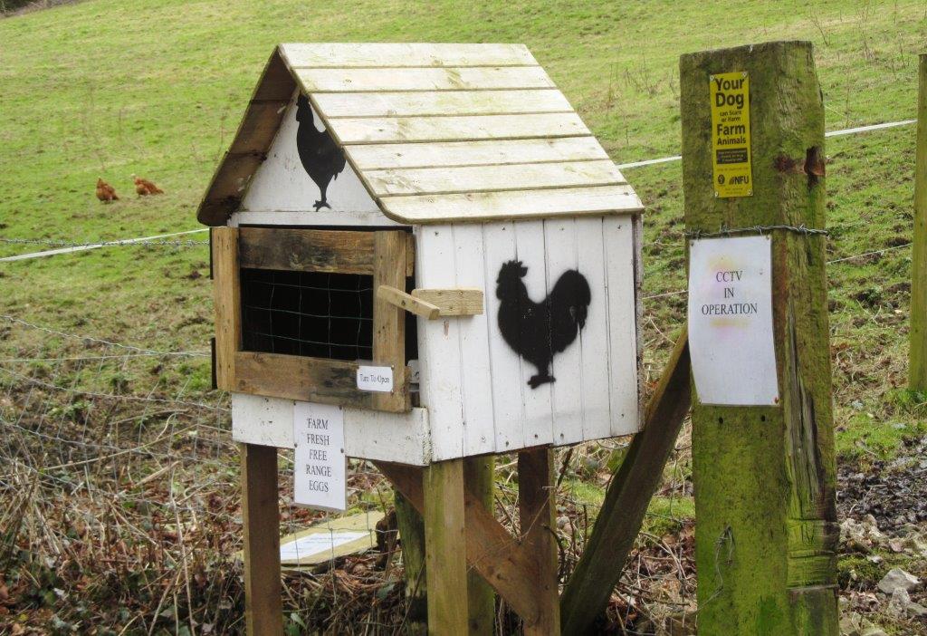 |
| Farm fresh free range eggs |
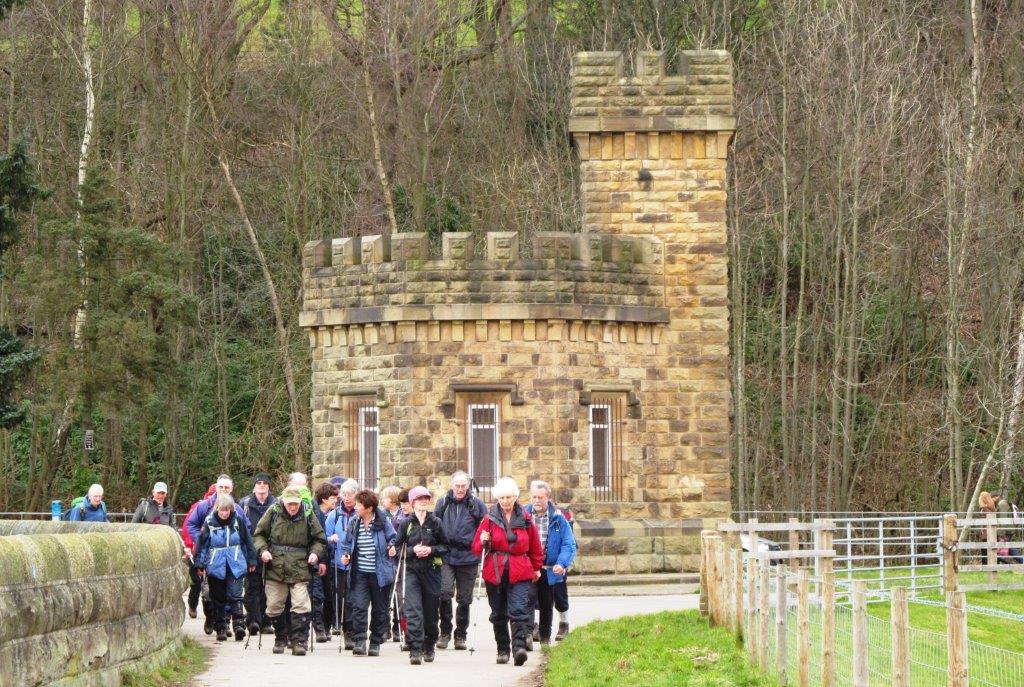 |
| crossing More Hall Reservoir embankment |
 |
| |
 |
| |
 |
| spillway |
 |
| |
 |
| |
 |
| |
 |
| reservoir embankment behind |
 |
| |
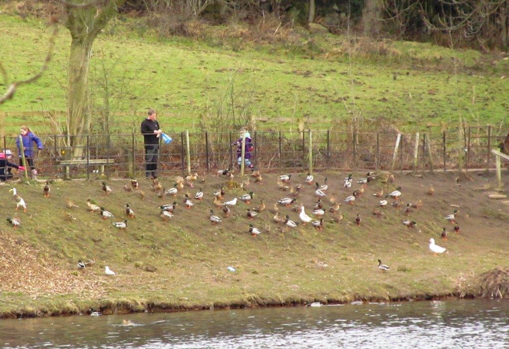 |
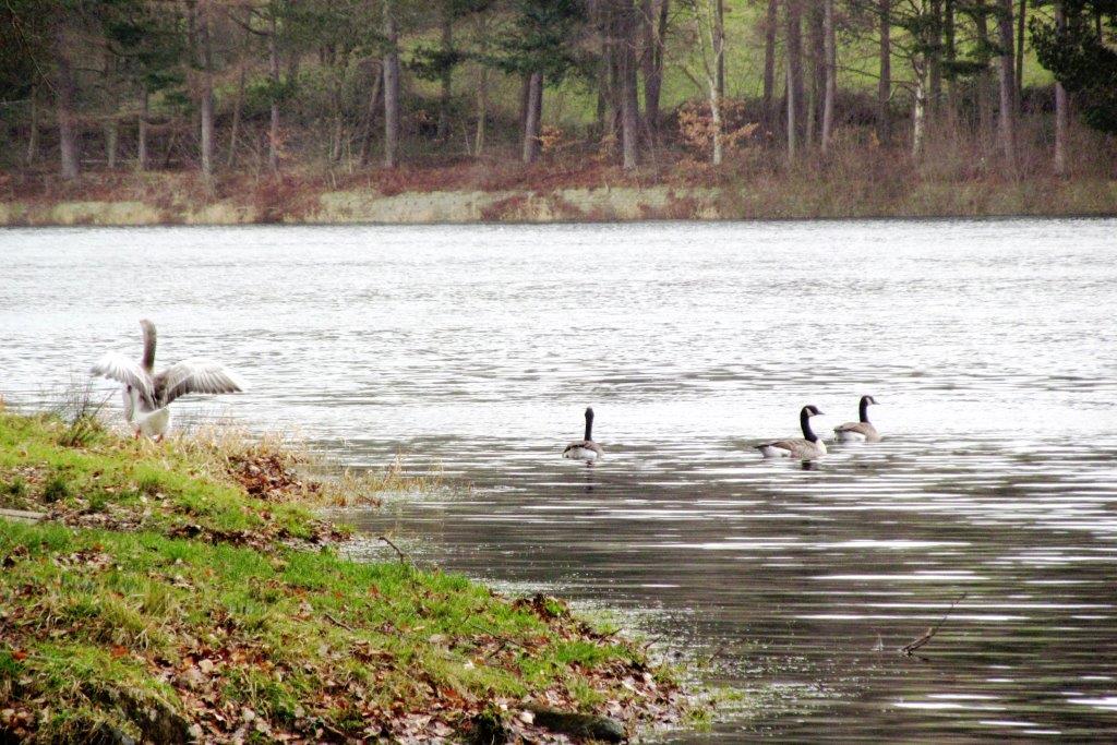
| no free lunch? |
 |
| |
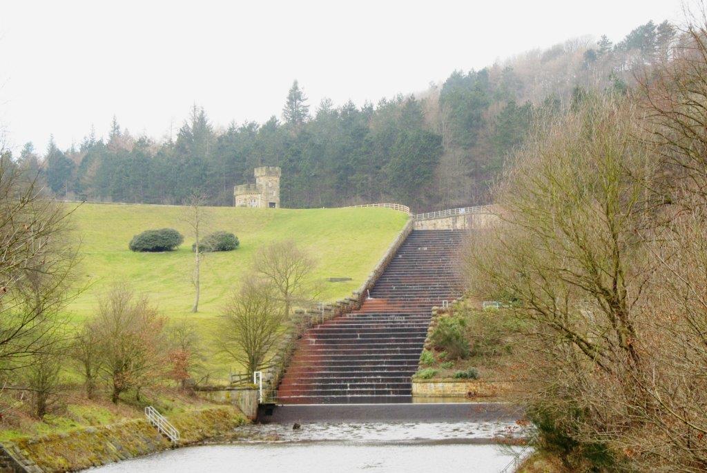 |
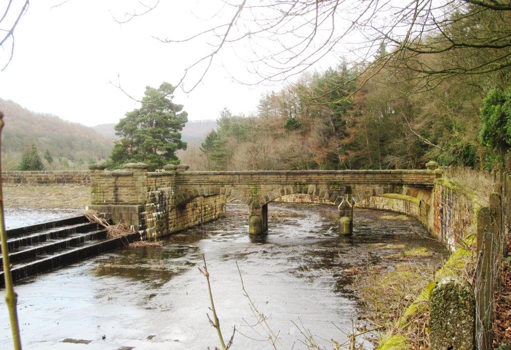
| Broomhead Reservoir spillway |
 |
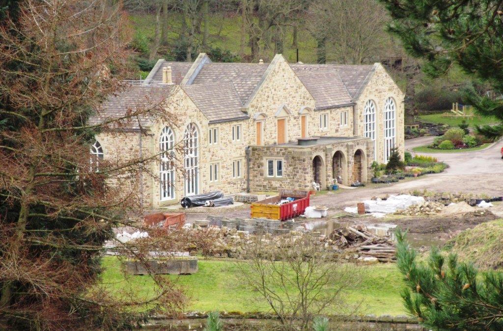
| Broomhead Hall, Park & Farm beyond Reservoir in distance |
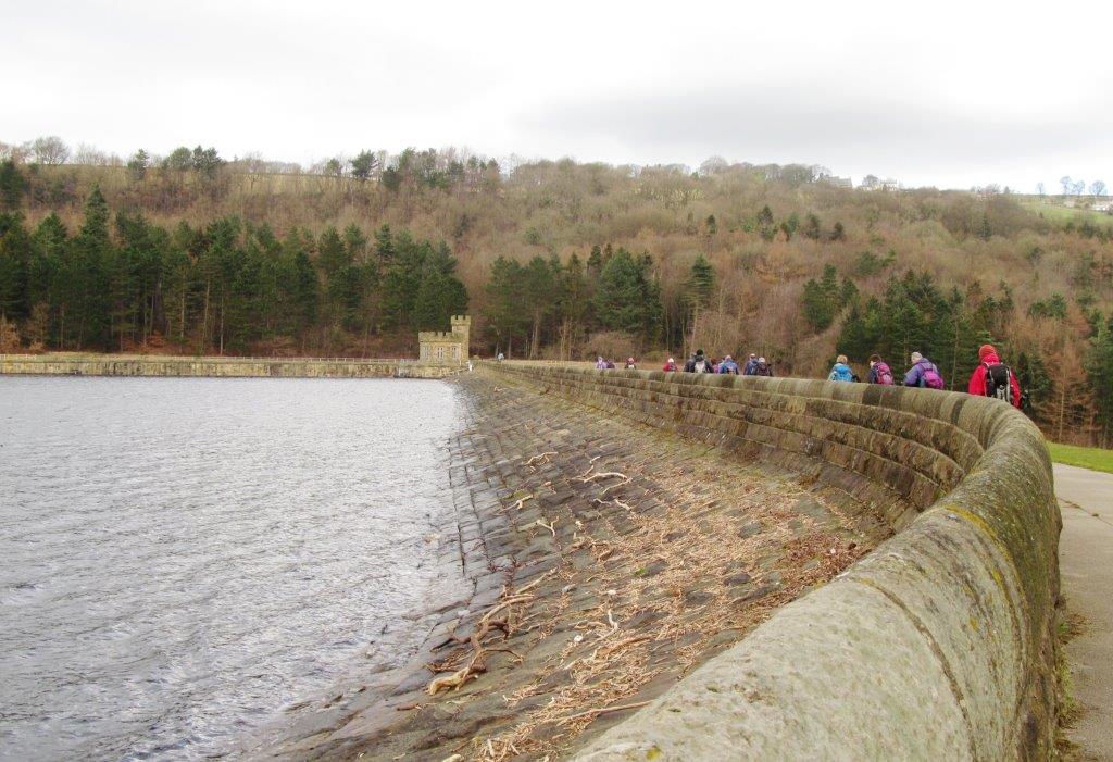 |
| Broomhead Reservoir embankment |
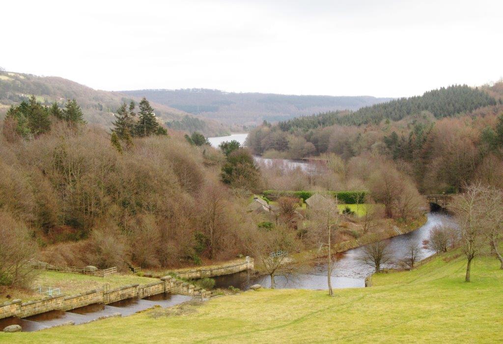 |
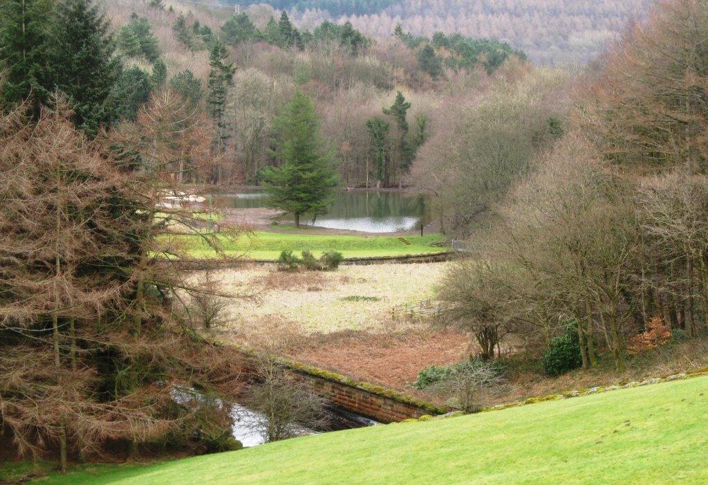
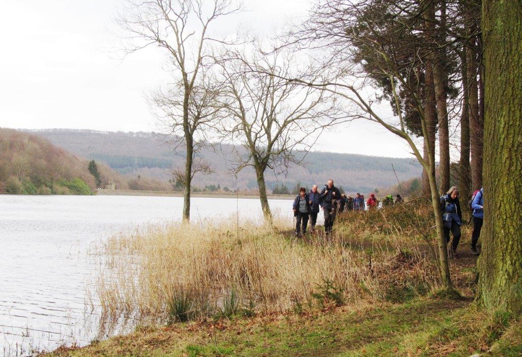
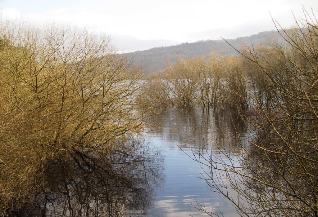
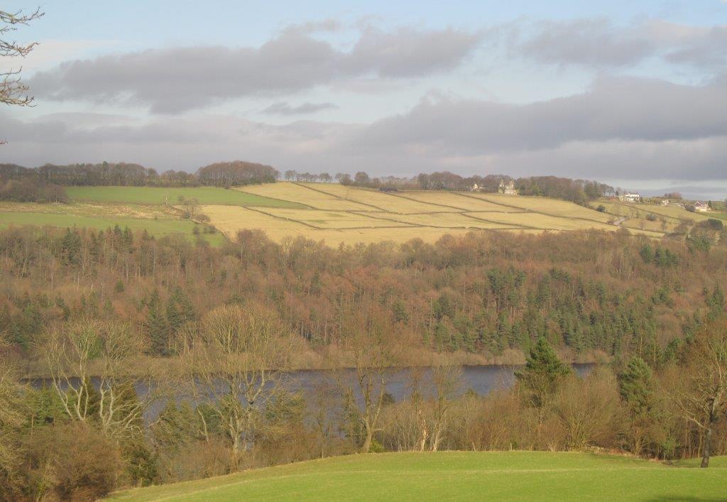
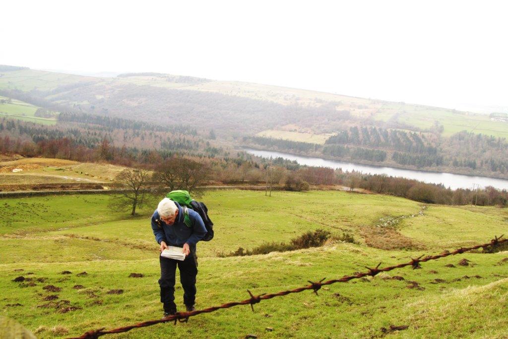
| looking from Broomhead Reservoir Embankment towards More
Hall Reservoir |
 |
| |
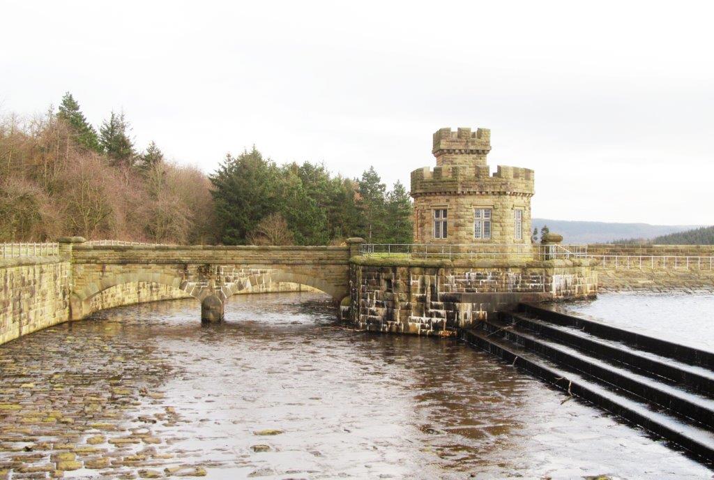 |
| top end Broomhead Spillway |
 |
| |
 |
| |
 |
| |
 |
| |
 |
| looking back at Broomhead Embankment |
 |
| |
 |
| |
 |
| |
 |
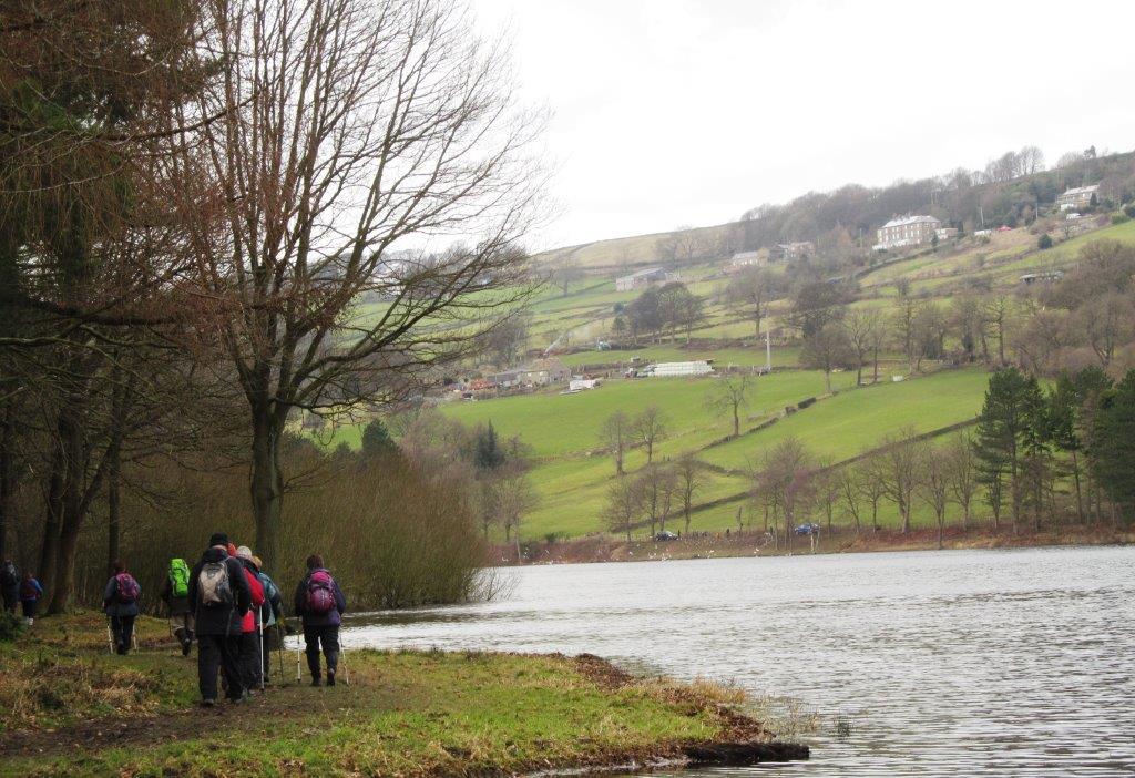
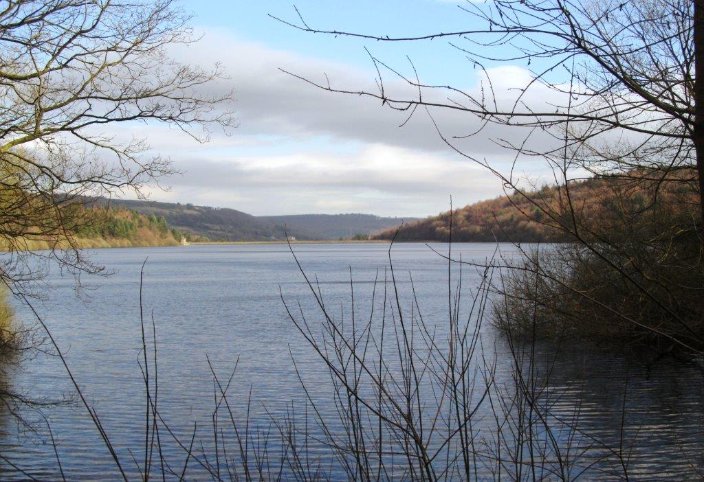
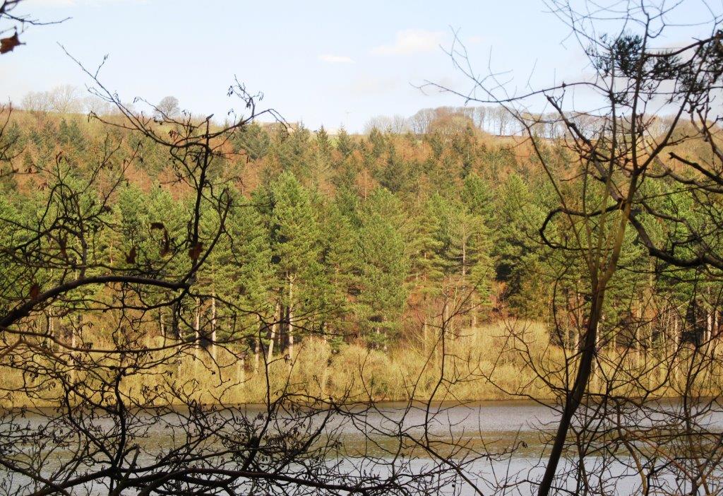
| looking north across Broomhead Reservoir |
 |
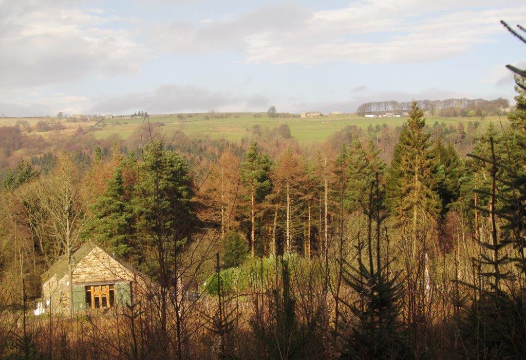
| Canyards Farm? |
 |
| |
 |
| |
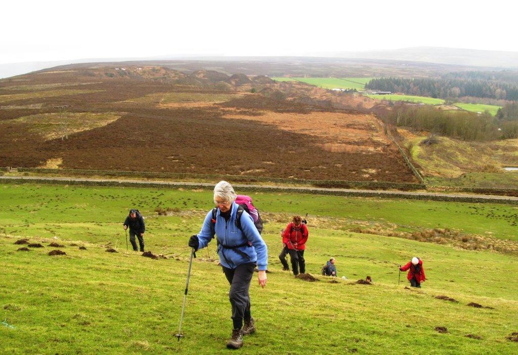 |
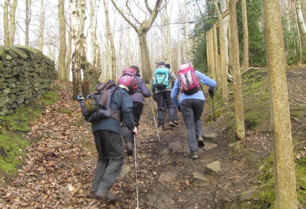
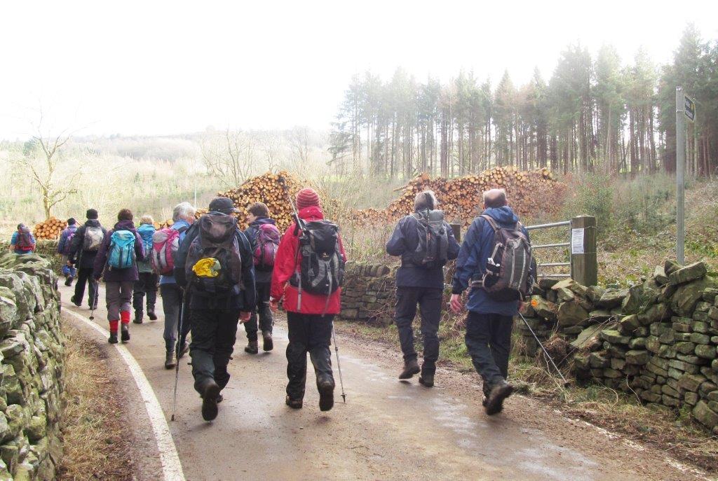
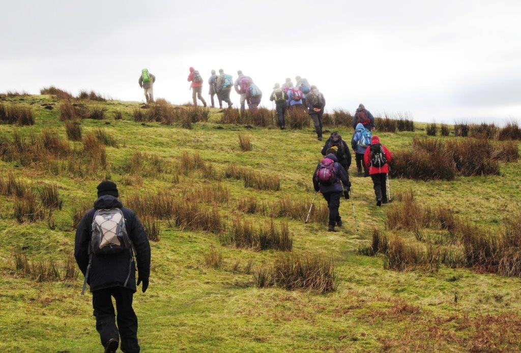
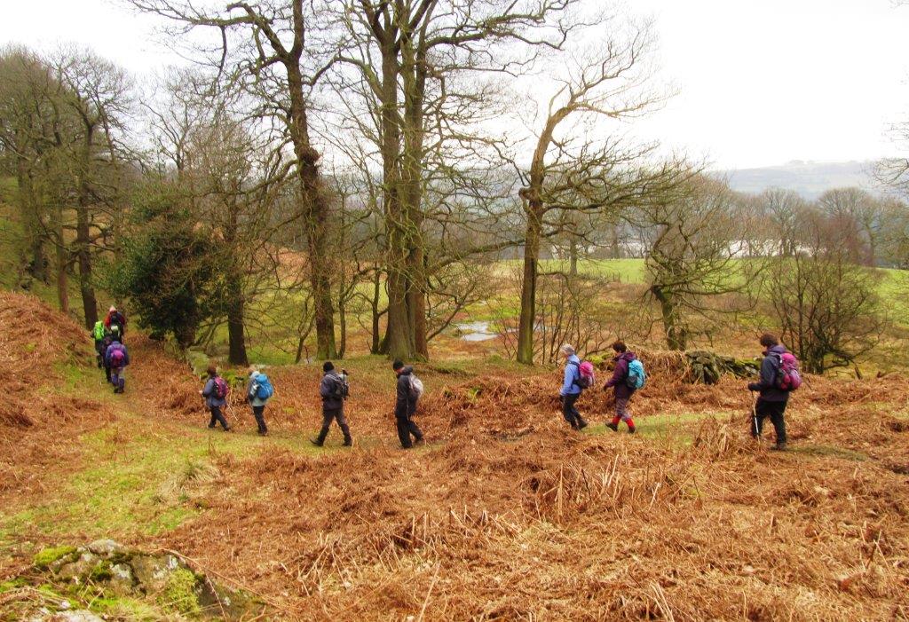
| up from Loadfield Road to White Lee Moor (actually a wood) |
 |
| |
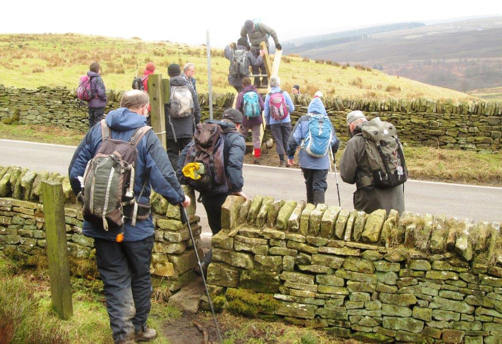 |
| crossing Penistone Road (the Tour de France 2014 passed
here) |
 |
| towards top of Rocher Rocks |
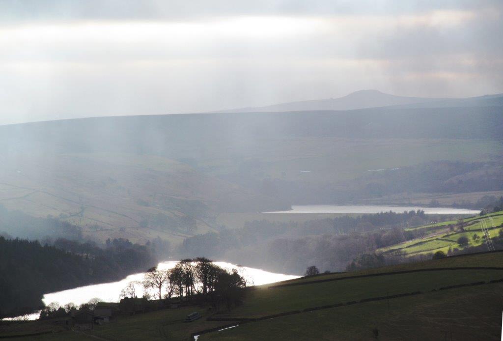 |
| Dale Dike Reservoir (reflecting the sun), Strines Reservoir
behind and at top Win Hill Pike |
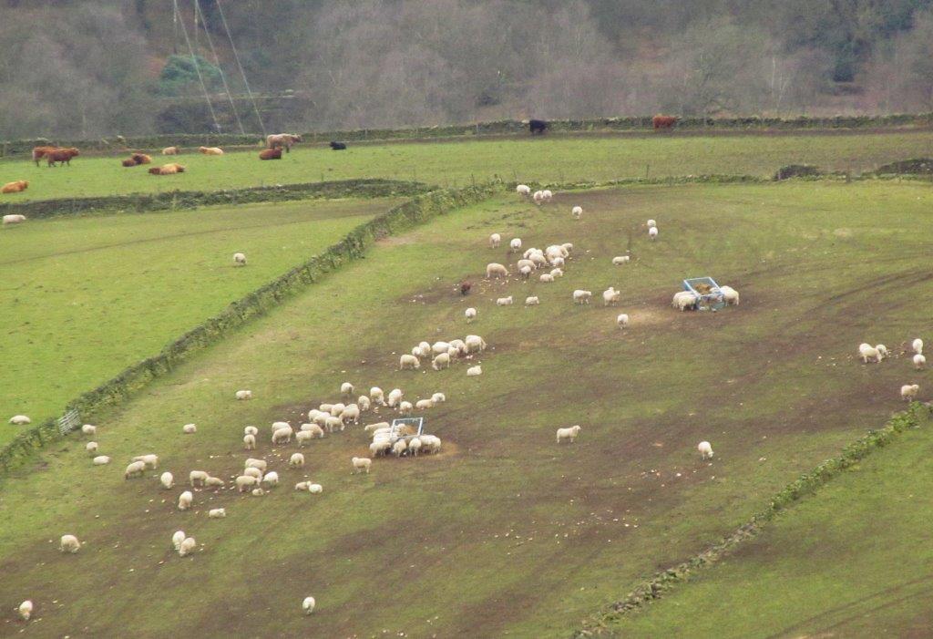 |
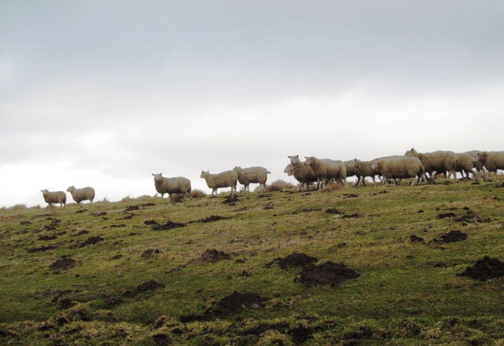
| Highland Cattle & sheep |
 |
| |
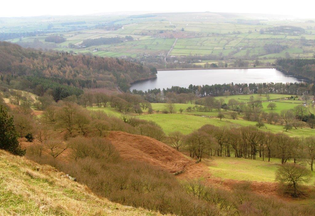 |
| Agden Reservoir seen from Rocher Rocks |
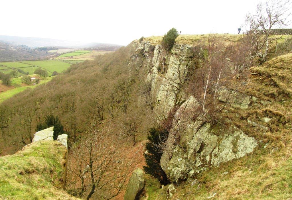 |
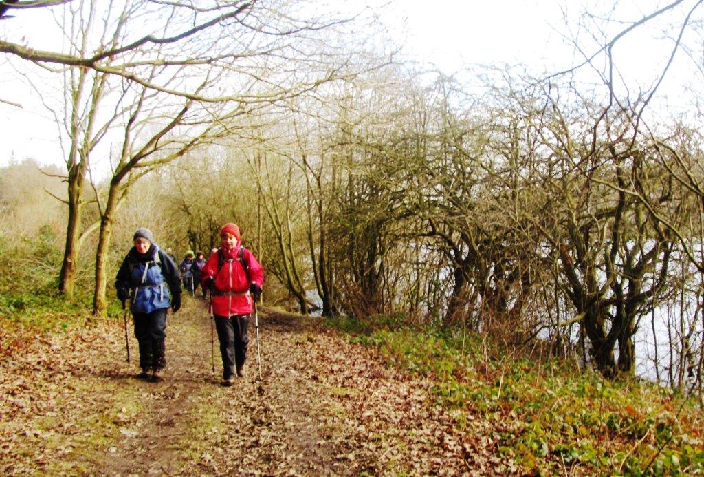
| Rocher Rocks - tail end walkers visible |
 |
| |
 |
| |
 |
| |
 |
| |
 |
| |
 |
| |
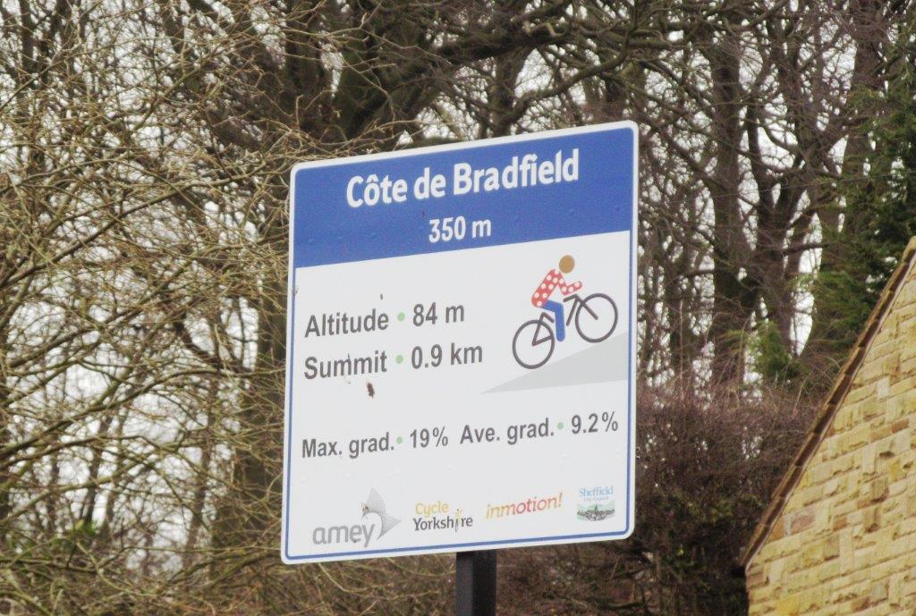 |
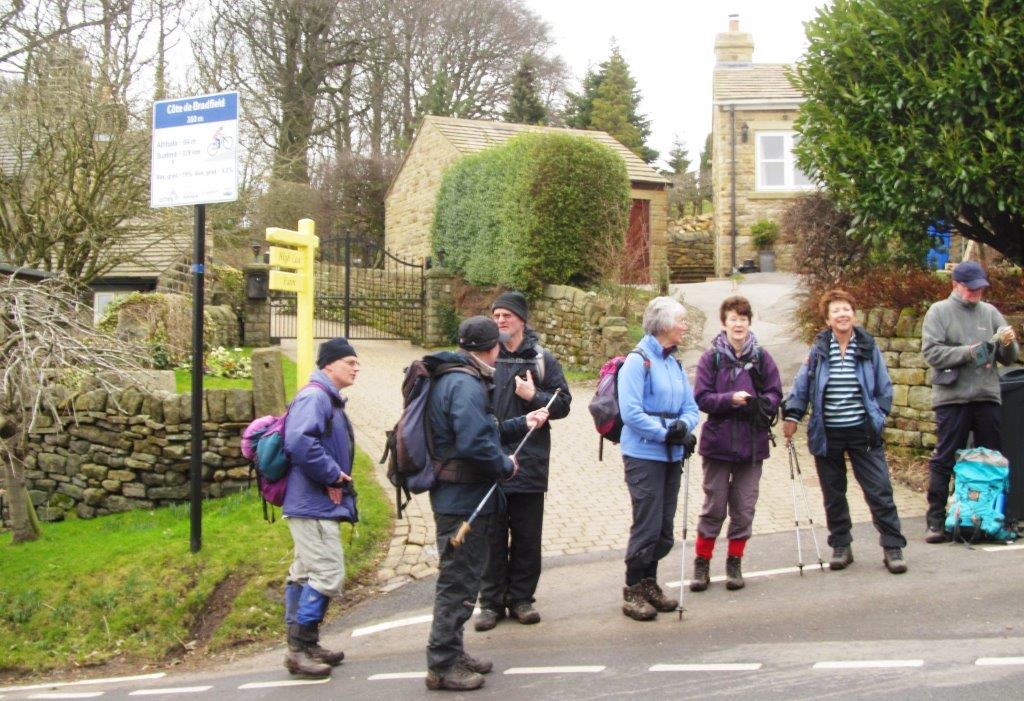
| Côte de Bradfield |
 |
| |
homepage - Day Walks
Index 2015 - contact me at