homepage - Day Walks
Index 2014 - contact me at

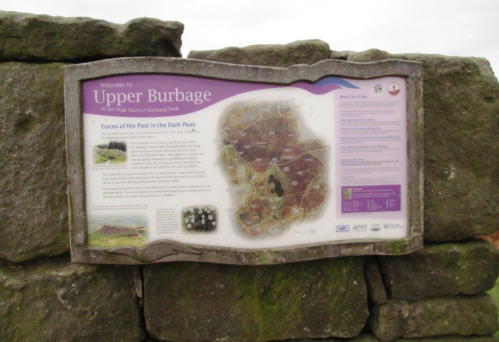
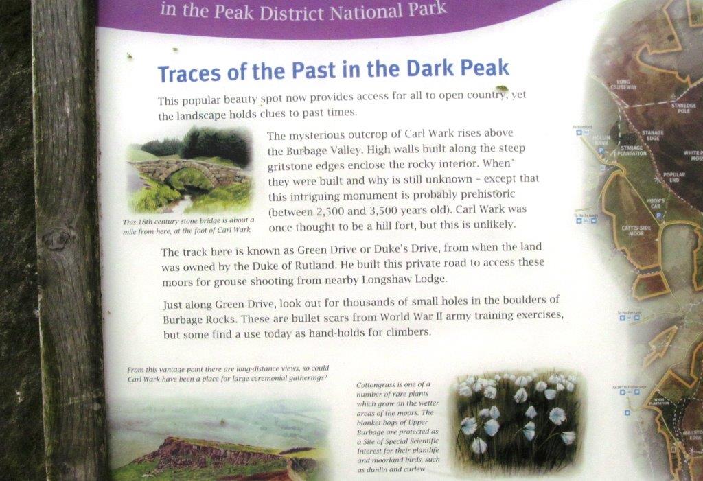
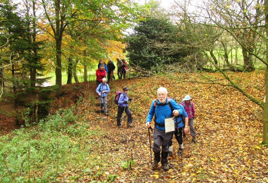
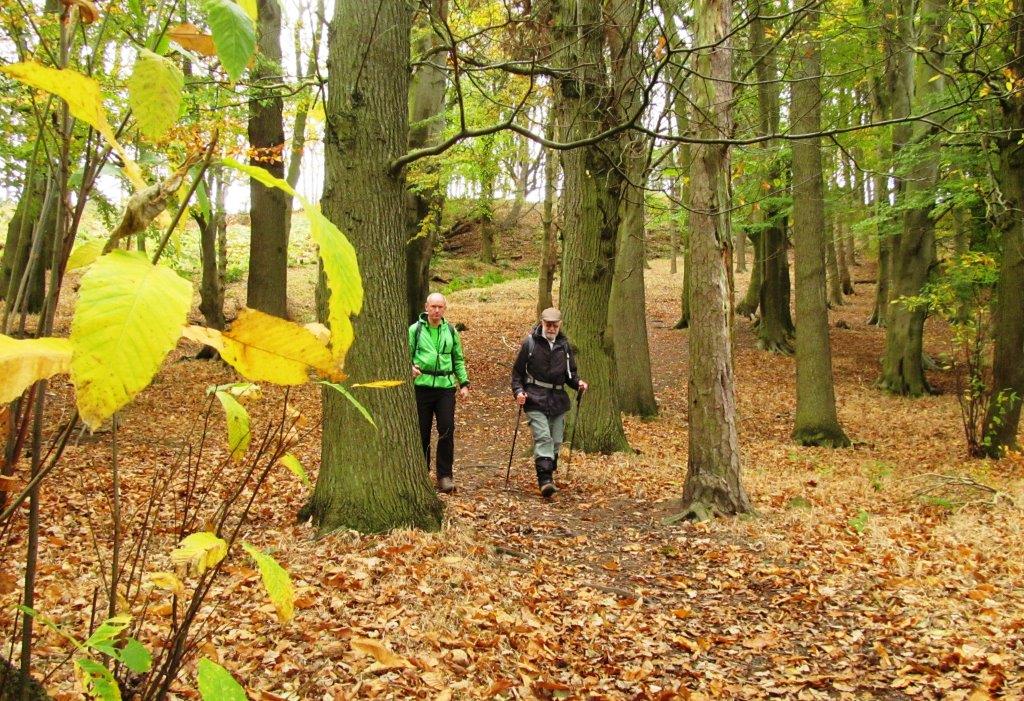
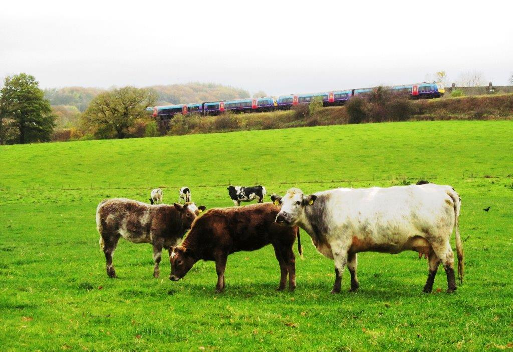
2014.10.29 - Whirlow Bridge, Limb Valley, Houndkirk Road,
above Burbage Rocks, Upper Burbage Bridge, Mitchell Field, Hathersage / Nether
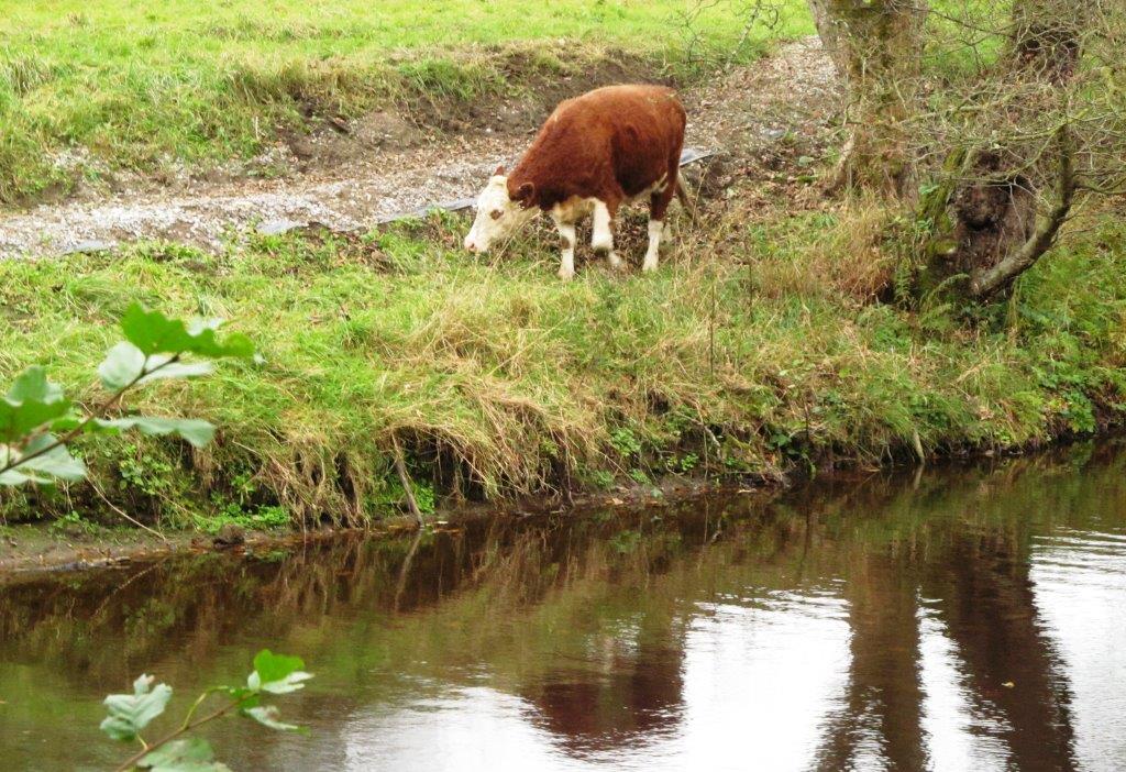
Hall, short of Leadmill Bridge, along River Derwent, Grindleford Station,
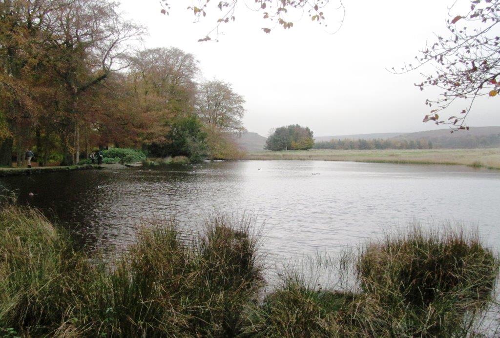
Longshaw Estate, Fox House - leader Anne Vickers - Wednesday
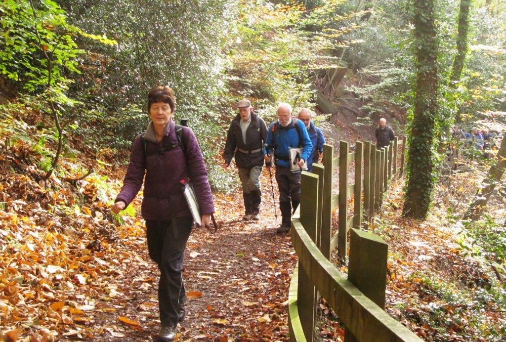 |
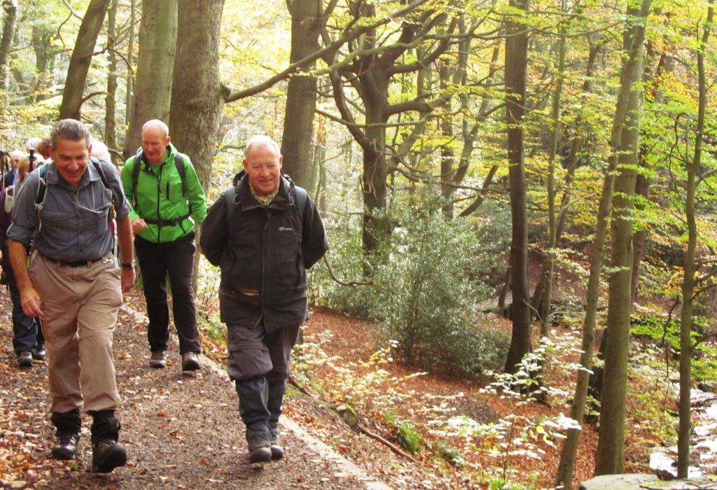
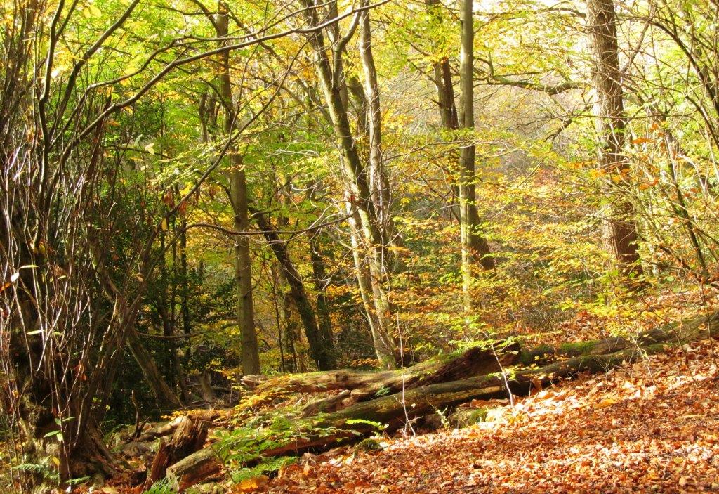
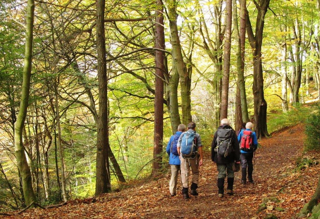
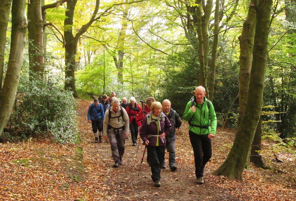
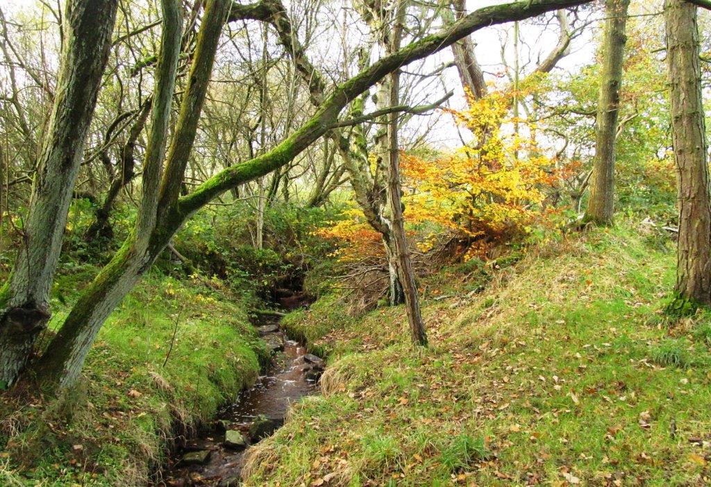
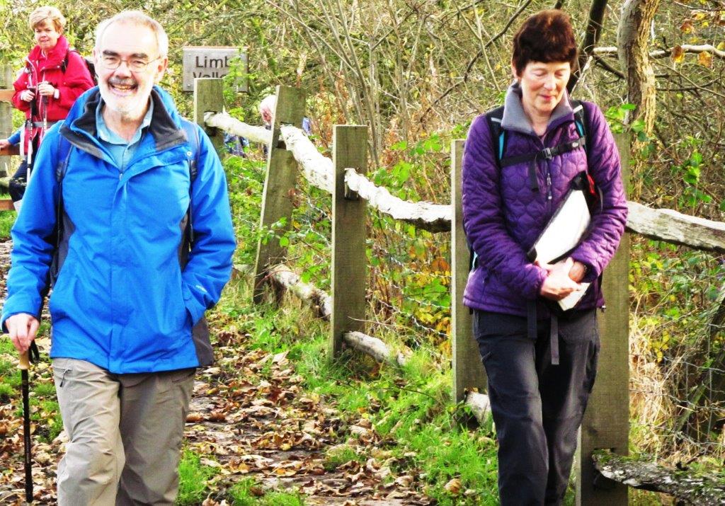
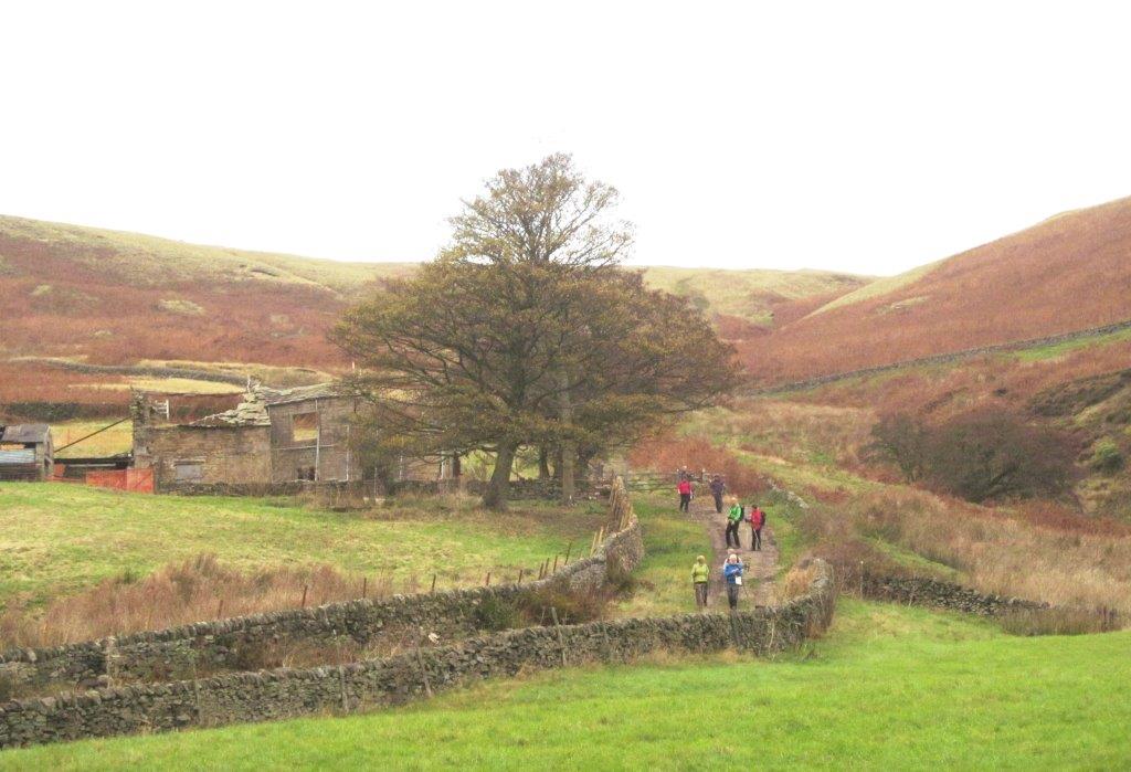
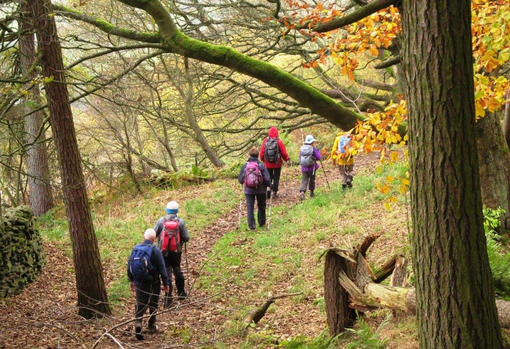
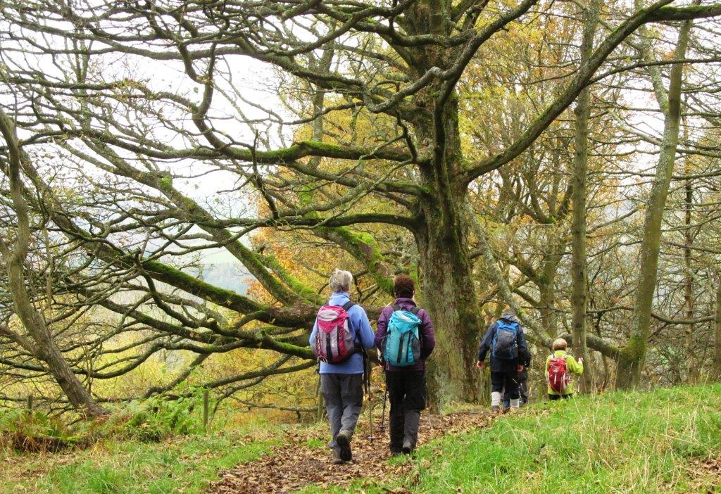
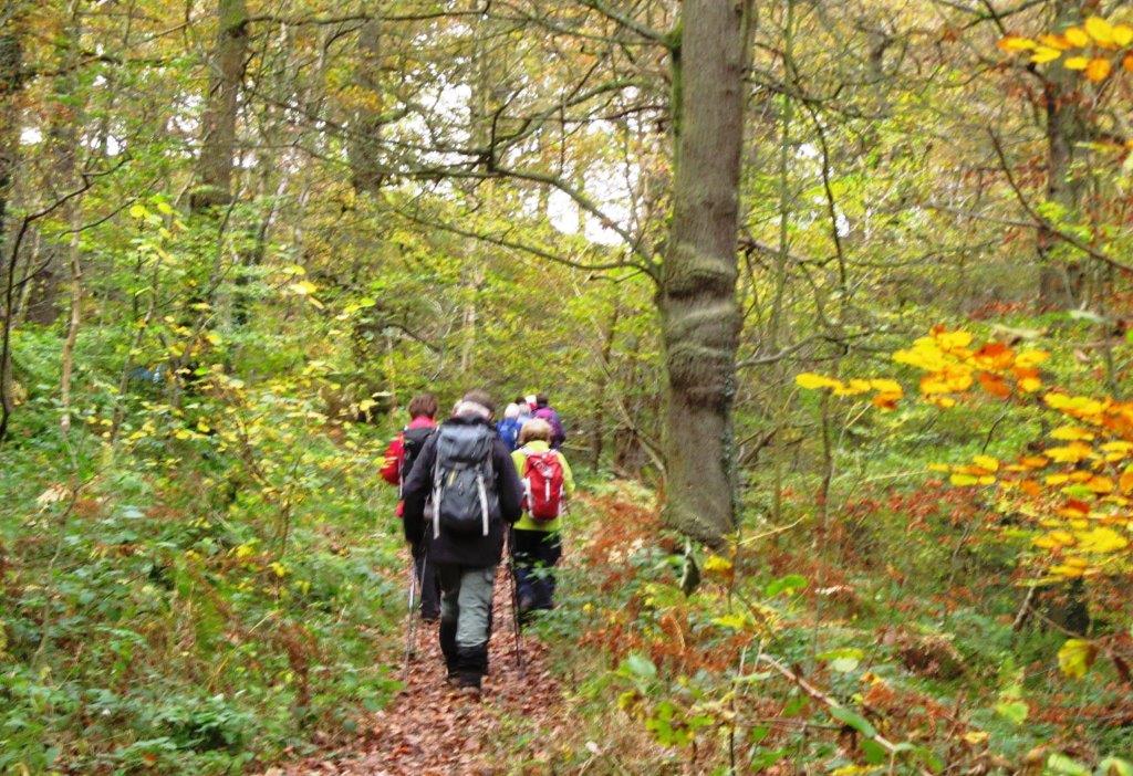
| up Limb Valley |
 |
| |
 |
| |
 |
| |
 |
| |
 |
| |
 |
| |
 |
| |
 |
| |
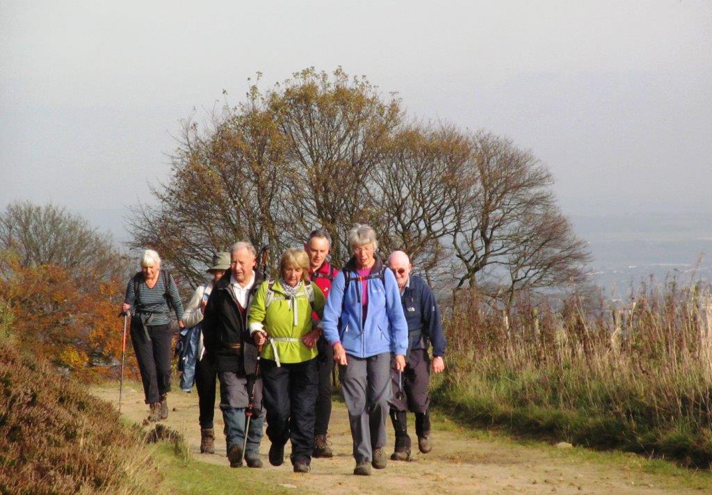 |
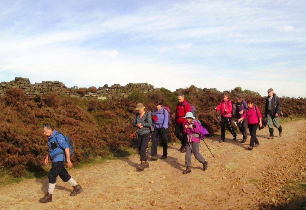
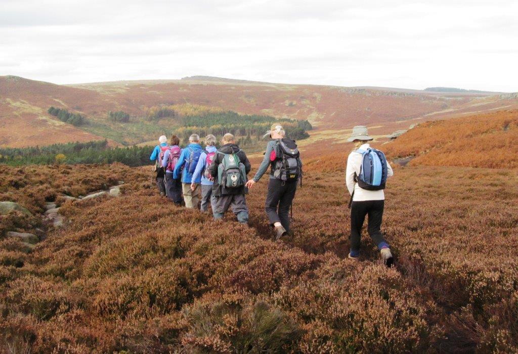
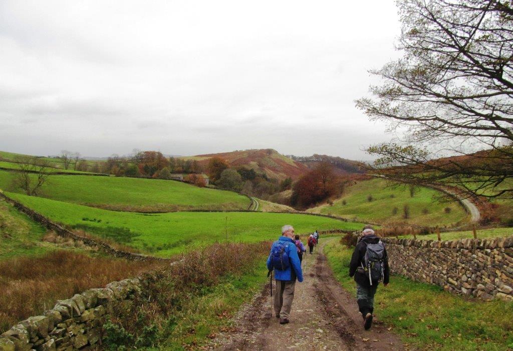
| along Houndkirk Road |
 |
| |
 |
| |
 |
| |
 |
| |
 |
| |
 |
| |
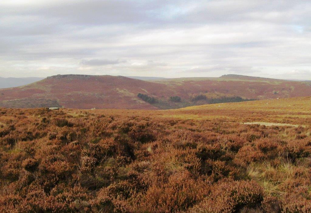 |
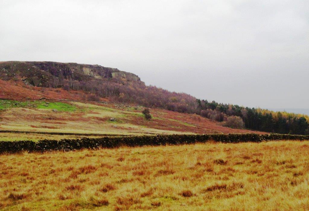
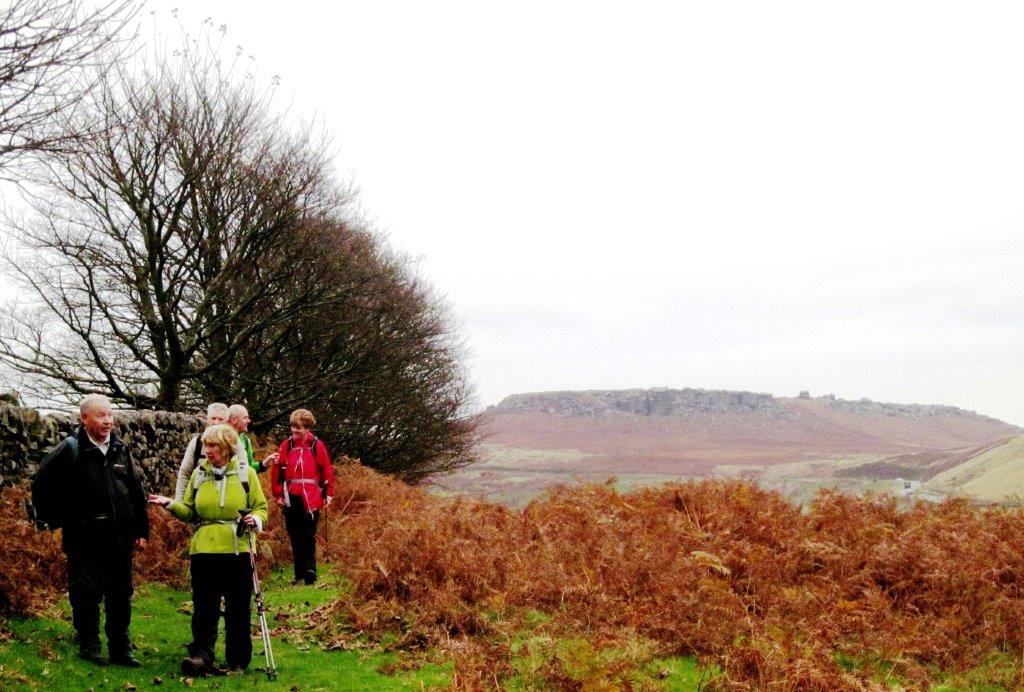
| Higgar Tor to left, Stanage Edge to right |
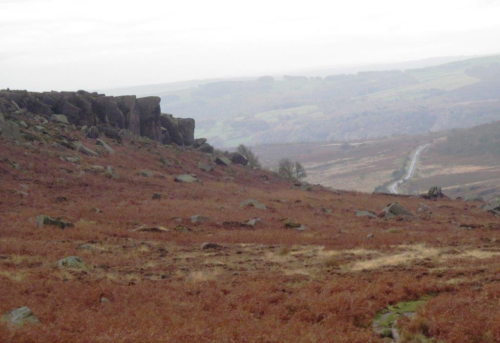 |
| disused quarry to left - road to Hathersage below |
 |
| |
 |
| |
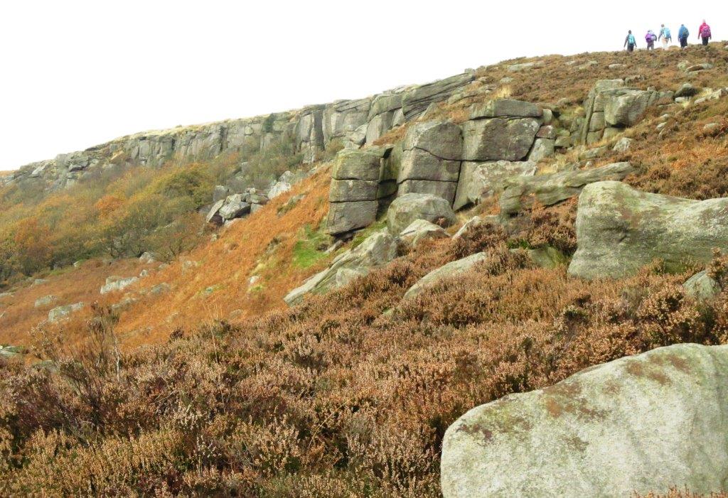 |
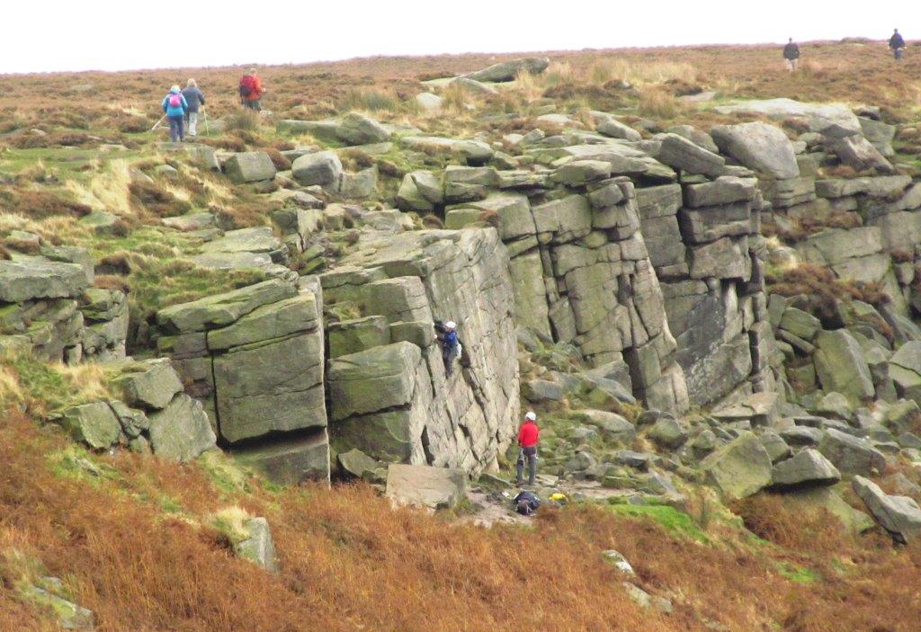
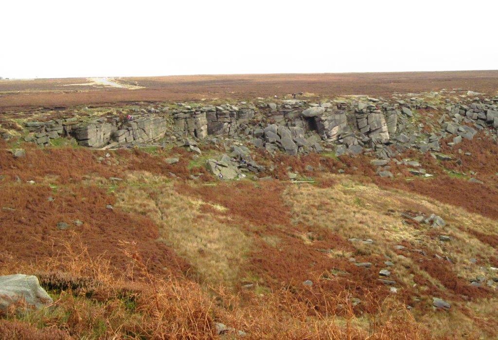
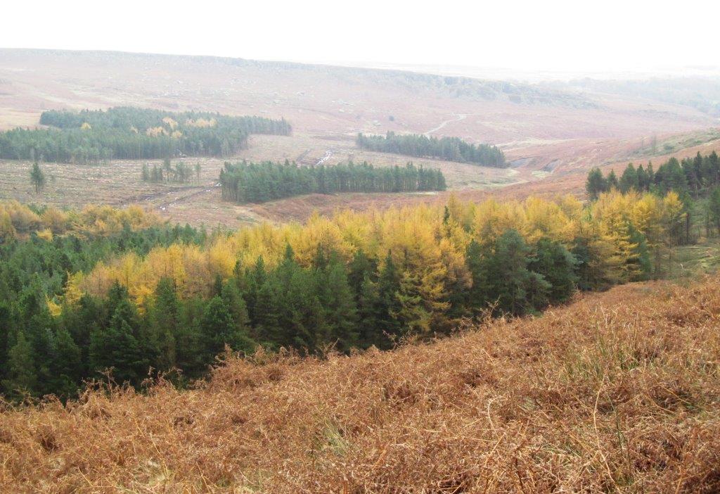
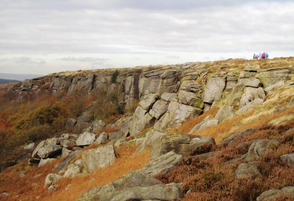
| along top of Burbage Rocks |
 |
| |
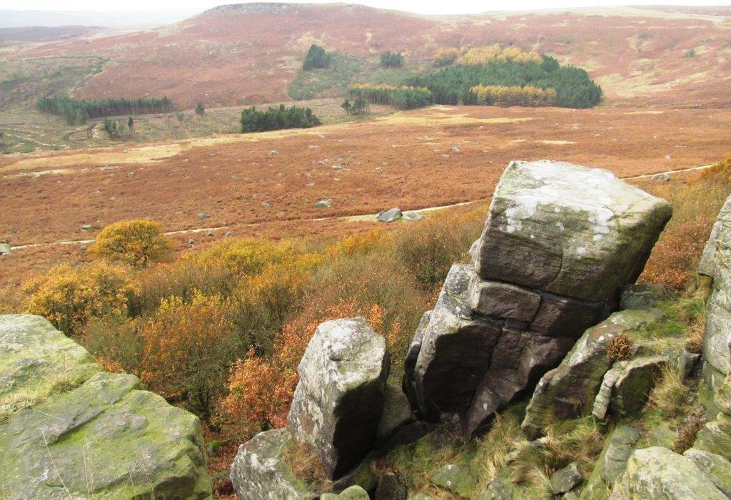 |
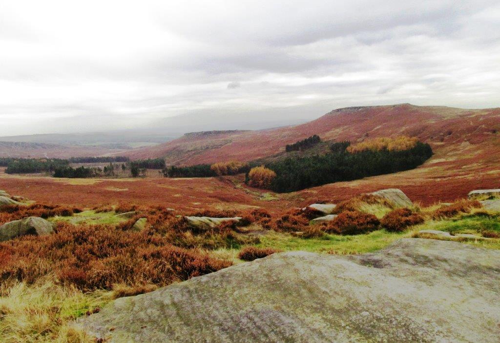
| Higgar Tor at top, Burbage Brook in Valley - viewed from
Burbage Rocks |
 |
| Carl Wark, iron age fort?, in centre, Higgar Tor to right |
 |
| |
 |
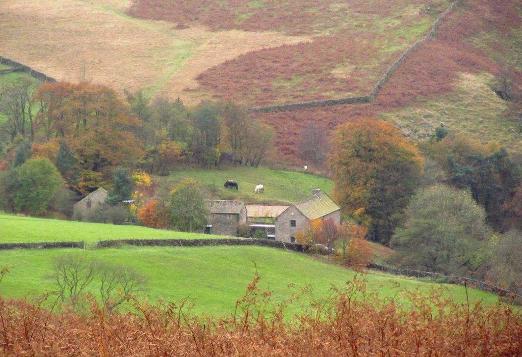
| Mitchell Field to left |
 |
| |
 |
| |
 |
| |
 |
| |
 |
| |
 |
| |
 |
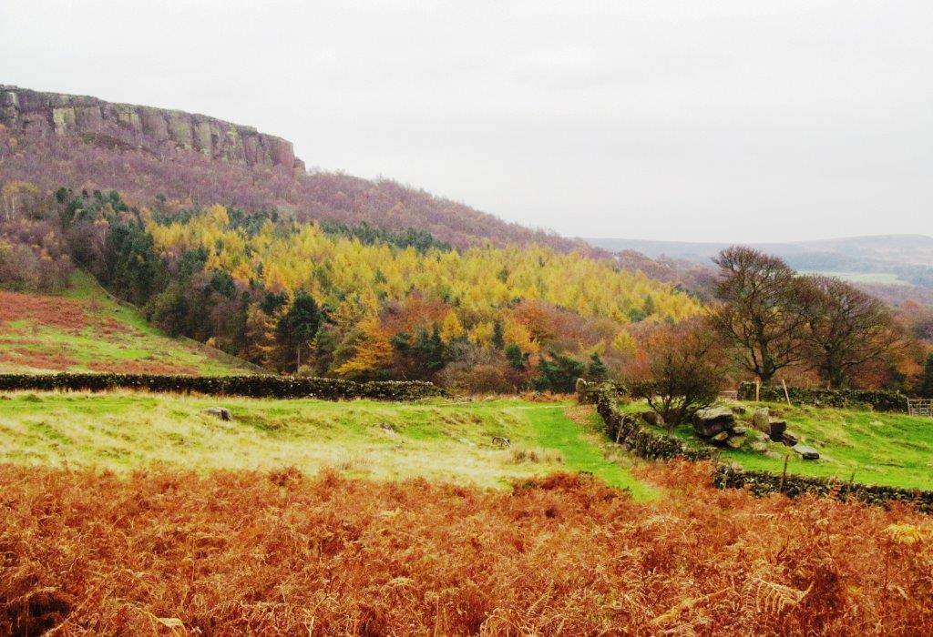
| Millstone Edge |
 |
| |
 |
| |
 |
| |
 |
| |
 |
| |
 |
| |
 |
| |
 |
| |
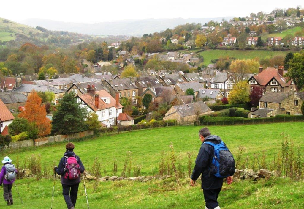 |
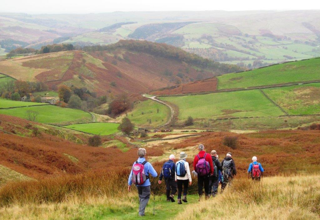
| passing through Hathersage |
 |
| |
 |
| |
 |
| |
 |
| |
 |
| |
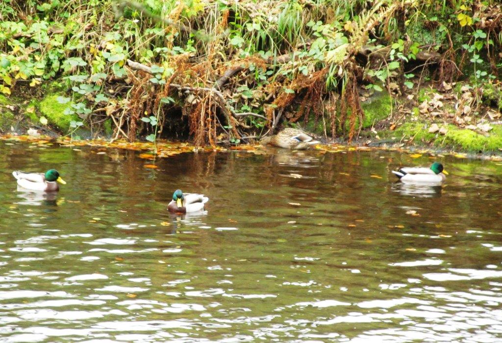 |
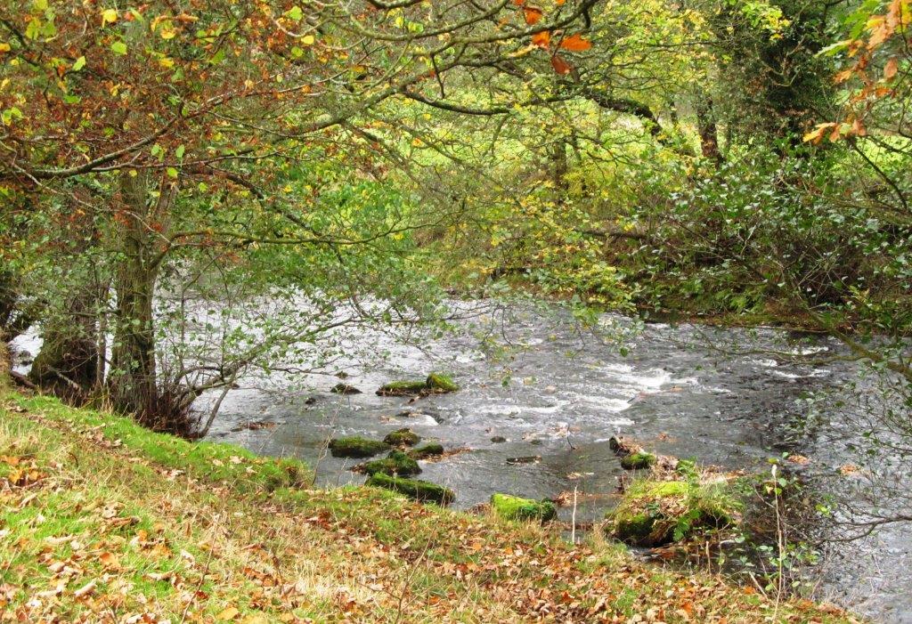
| River Derwent |
 |
| |
 |
| |
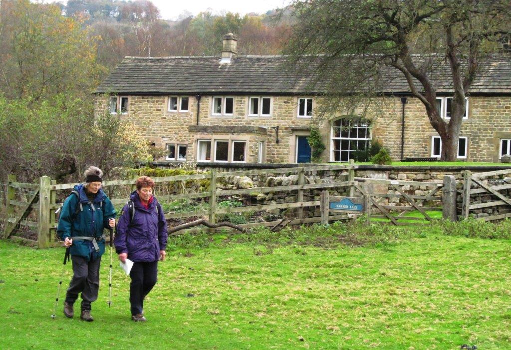 |
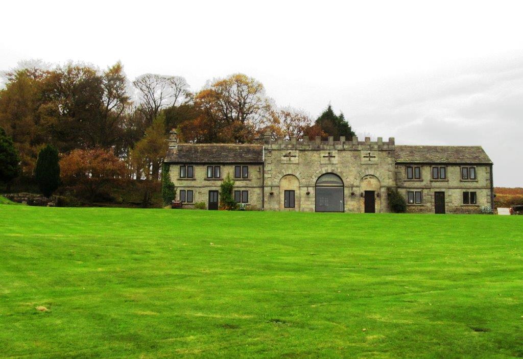
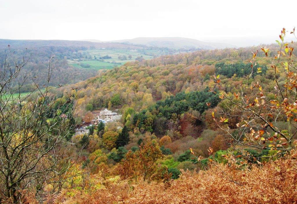
| Harper Lees |
 |
| |
 |
| |
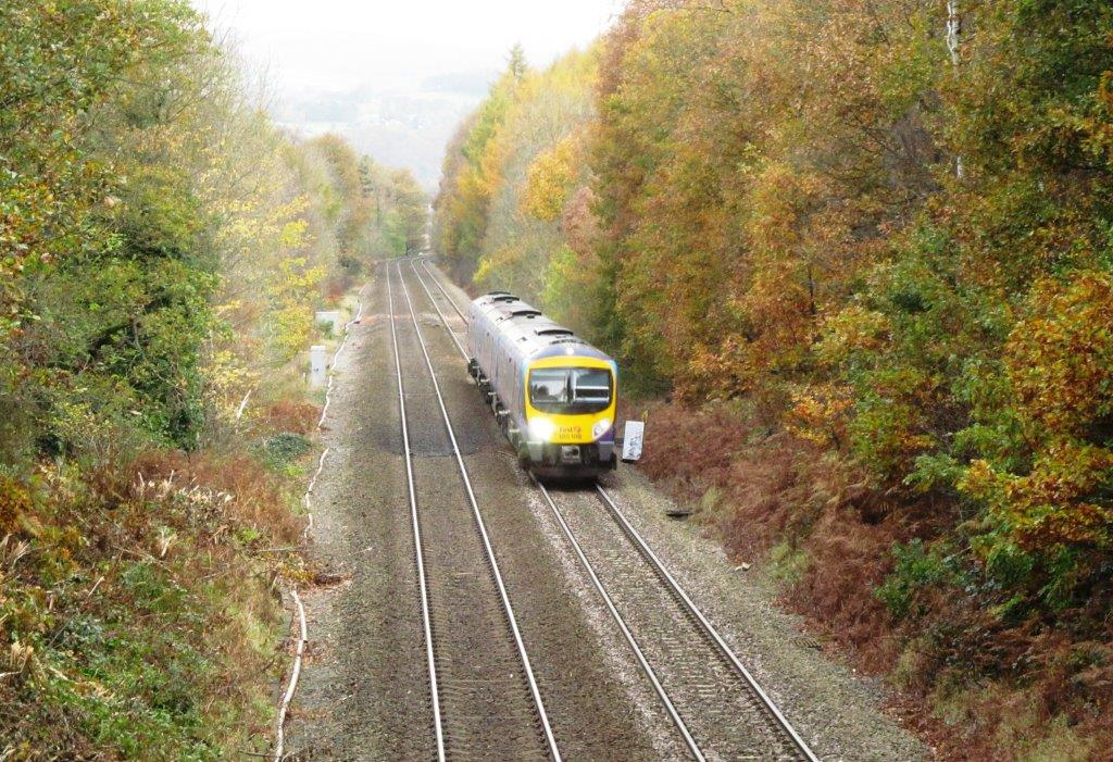 |
| from bridge crossing railway line |
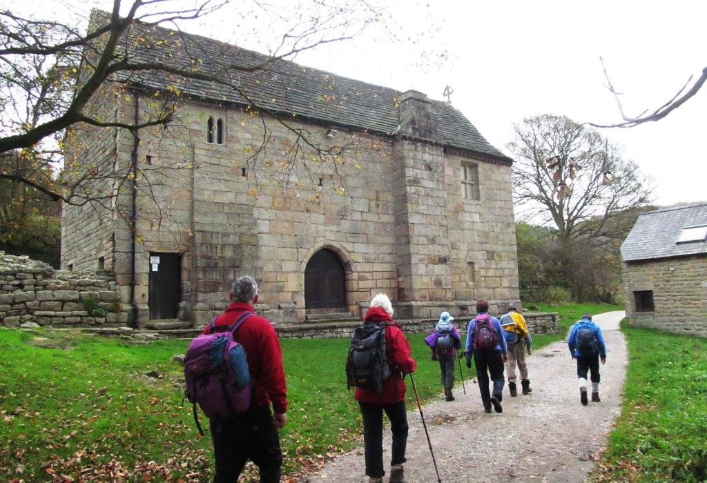 |
| Padley Chapel - two Catholic Priests were martyred here in
1588 |
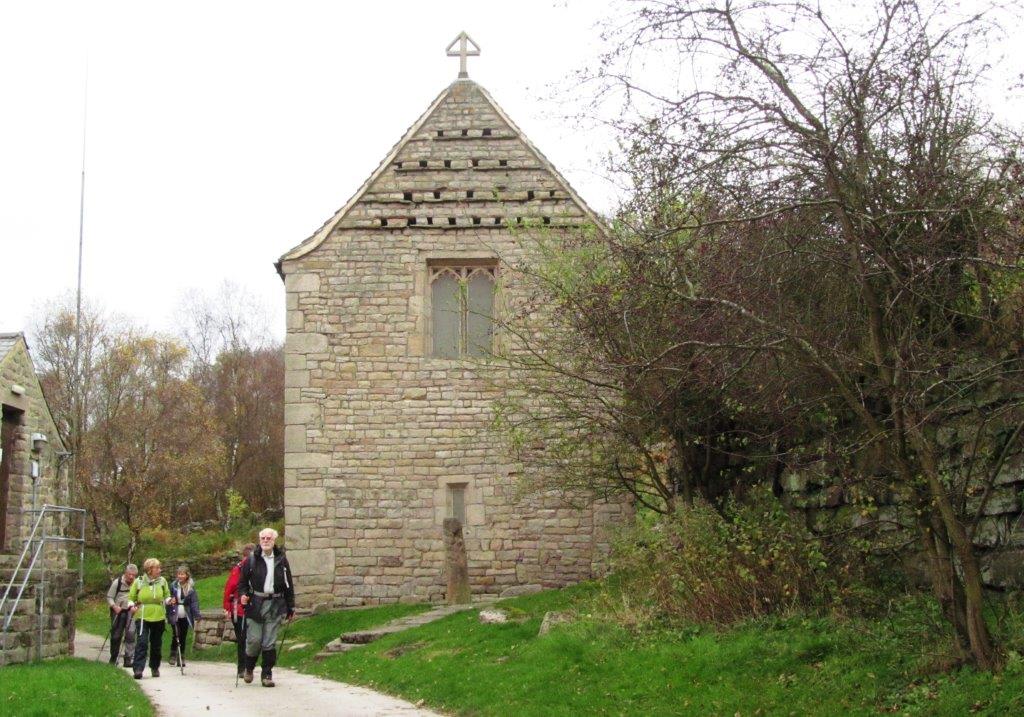 |
| see above |
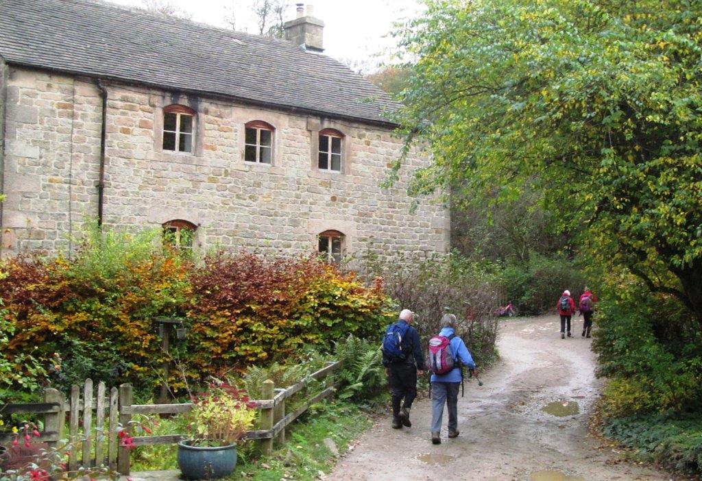 |
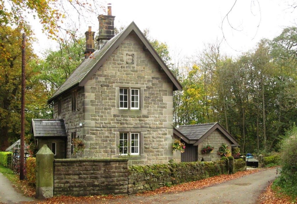
| Padley Gorge Mill - now a house |
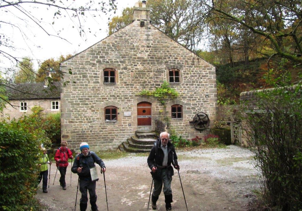 |
| as picture above |
 |
| |
 |
| |
 |
| |
 |
| |
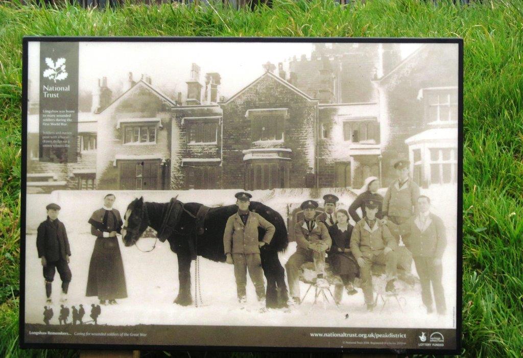 |
| Longshaw Estate in the First World War as an auxiliary
hospital for injured soldiers |
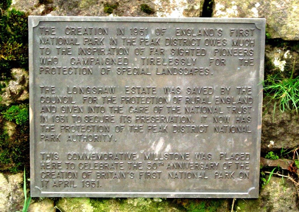 |
| Commemorative Plaque celebrating the 50th Anniversary of the
Creation of Britain's first National Park in 1951 - The Peak
National Park |
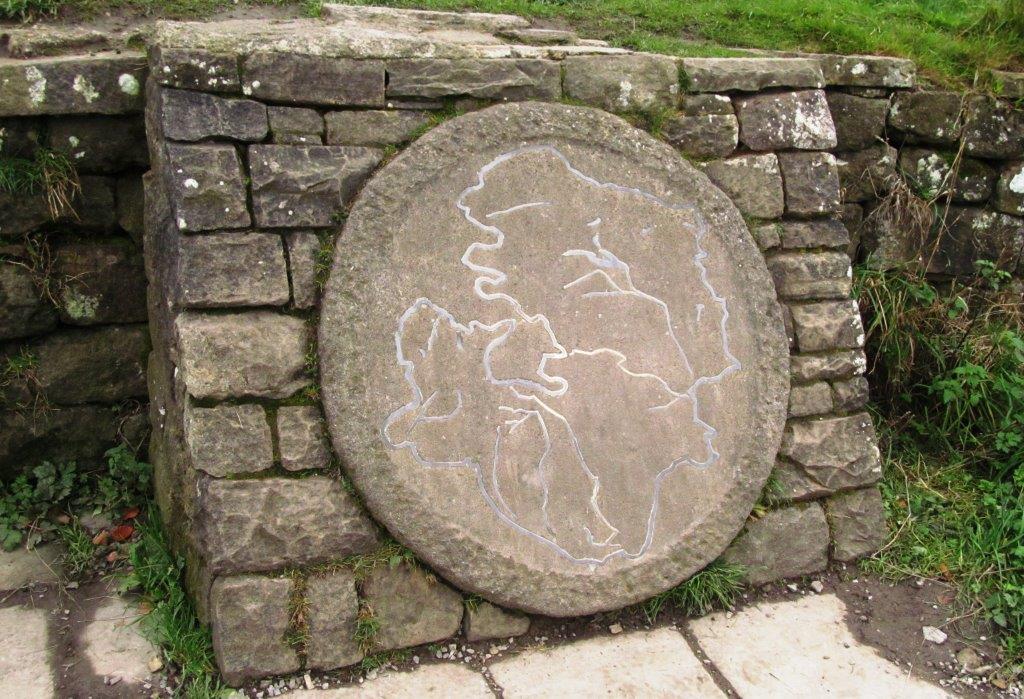 |
| Millstone referred to in plaque |
 |
| to The National Trust cafe at Longshaw Estate |
homepage - Day Walks
Index 2014 - contact me at