homepage - Day Walks
Index 2014 - contact me at

2014.10.26 - ** Ashopton, Derwent Edge, Wheel Stones, Back
Tor, Lost Lad, Sheepfold Clough, down Abbey Brook, up Abbey Bank, Briery Side,
Wellhead, along Ladybower Reservoir, Ashopton. - Sunday
 |
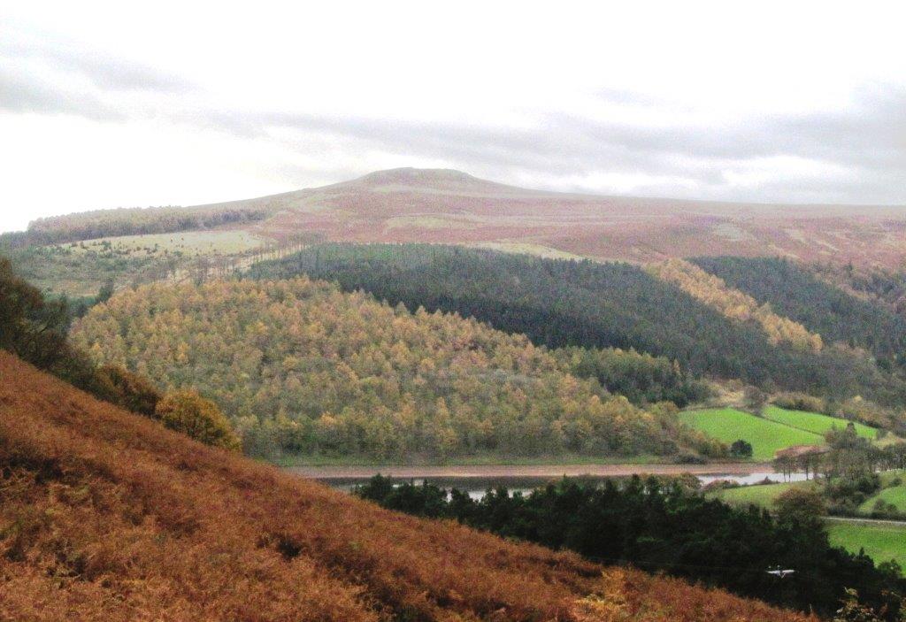
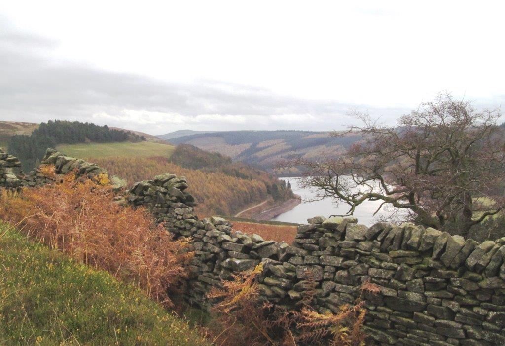
| Great Tor on Bamford Edge, Ladybower Reservoir below (dam wall
just visible) |
 |
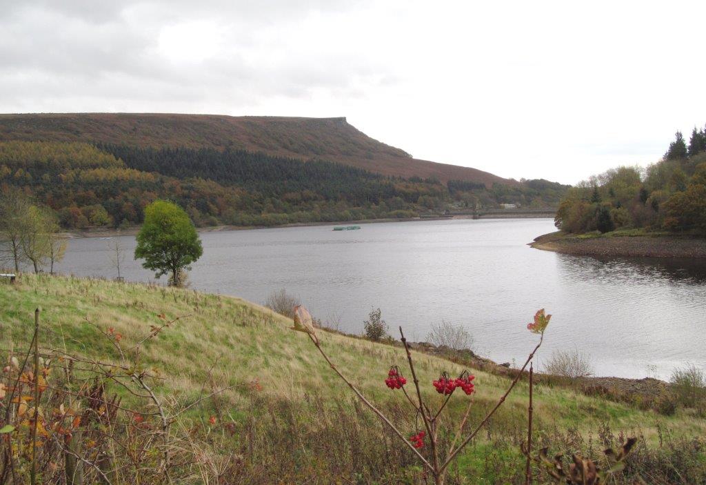
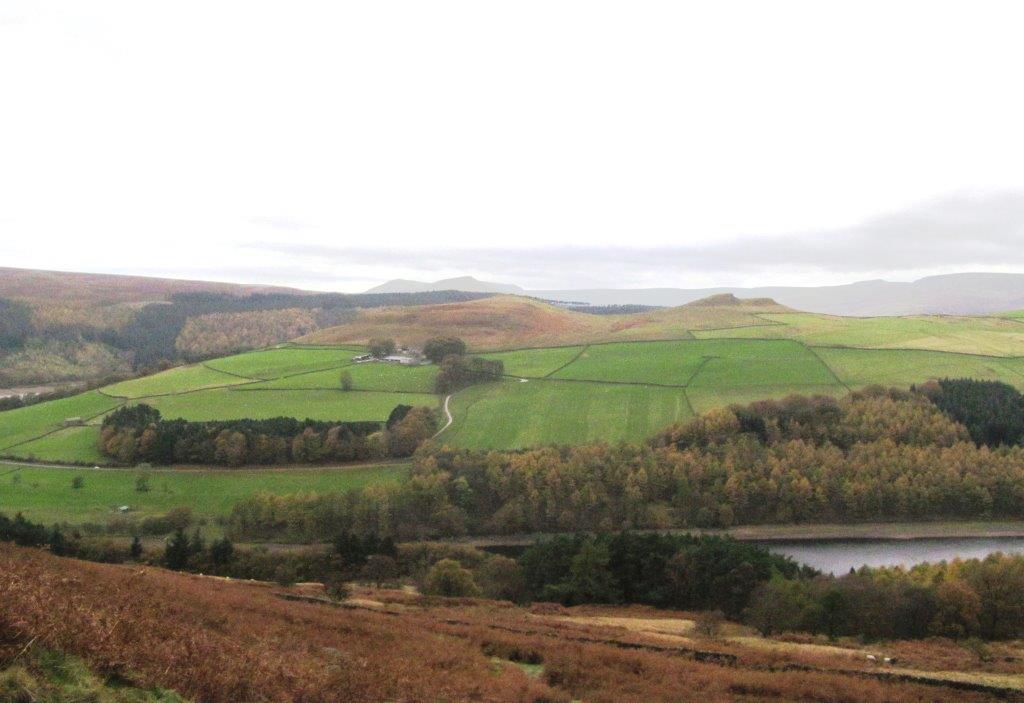
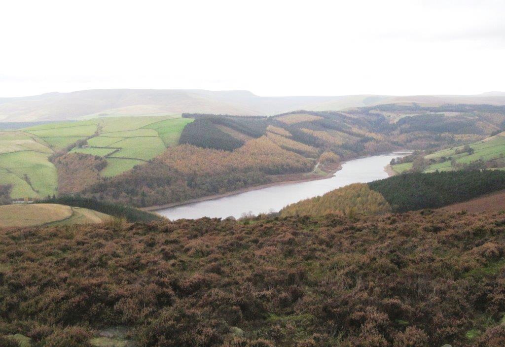
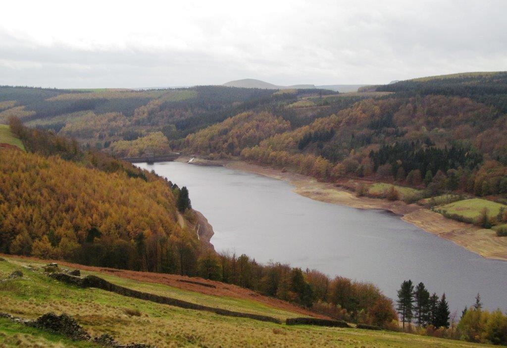
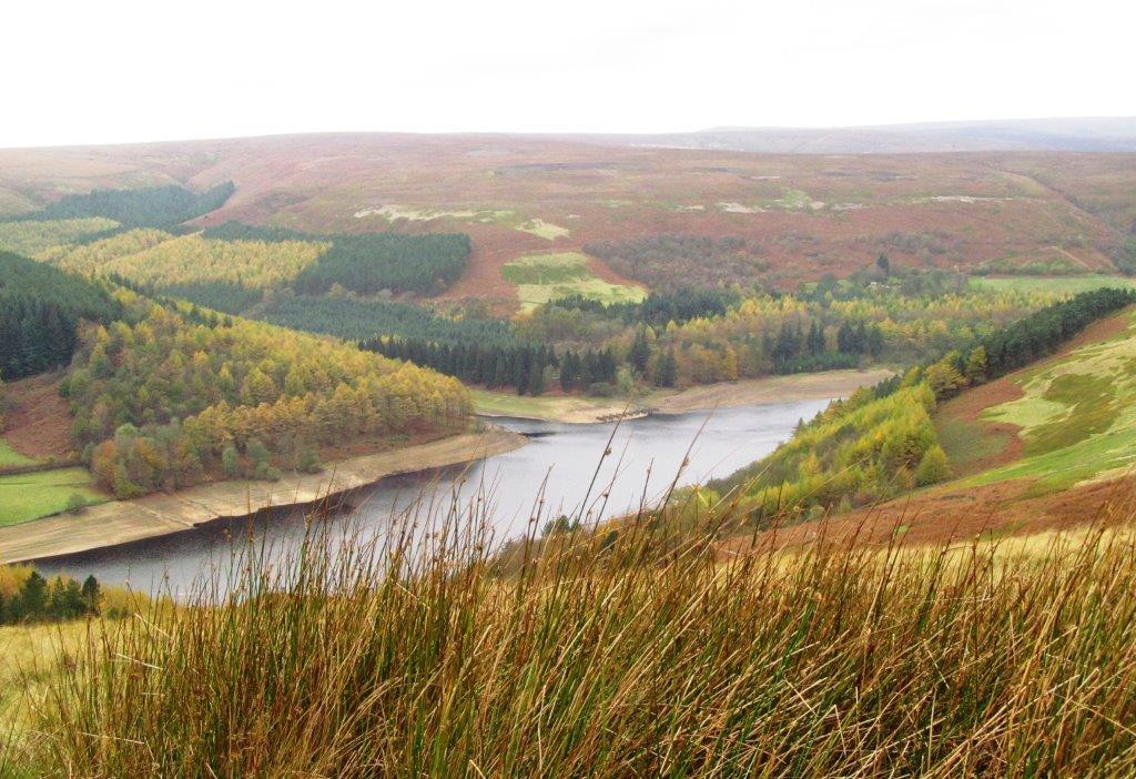
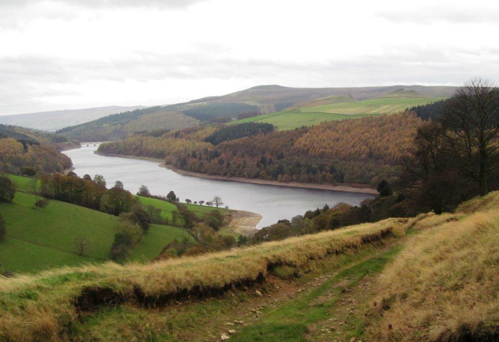
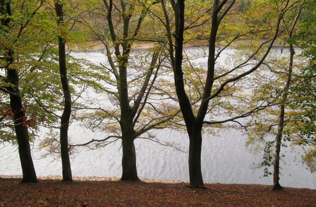
| West arm of Ladybower Reservoir |
 |
| |
 |
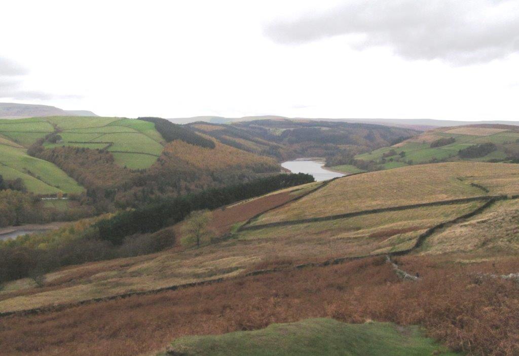
| north arm of Ladybower Reservoir |
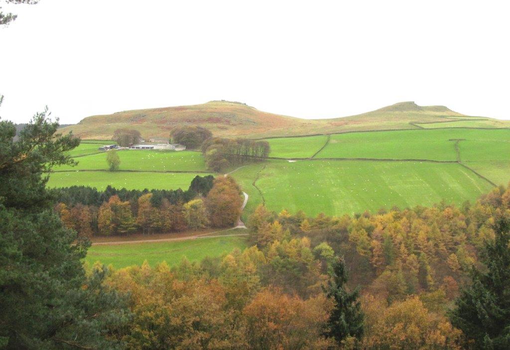 |
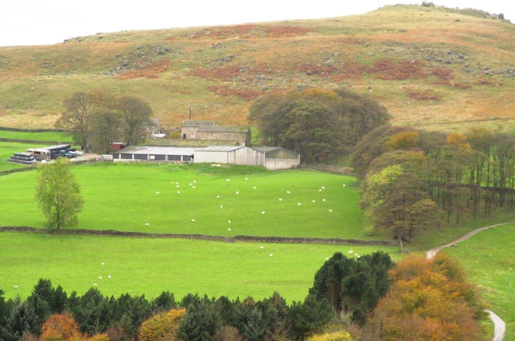
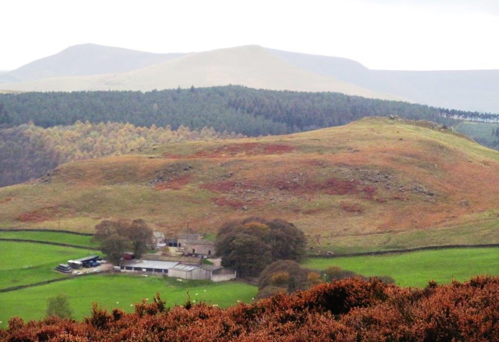
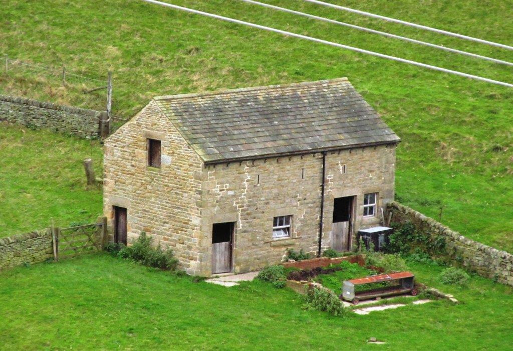
| Crookhill Farm |
 |
| |
 |
| Win Hill |
 |
| |
 |
| |
 |
| |
 |
| |
 |
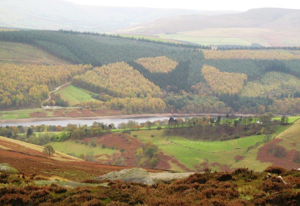
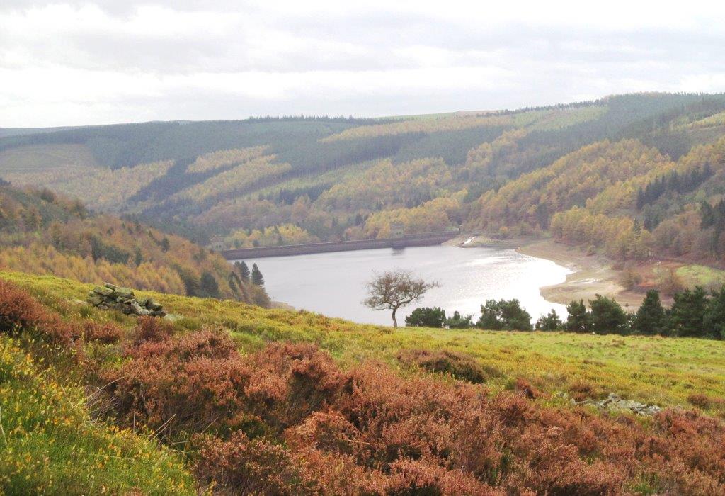
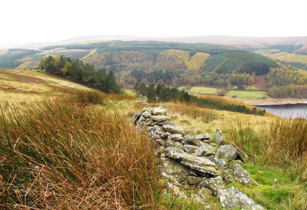
| Ladybower Reservoir |
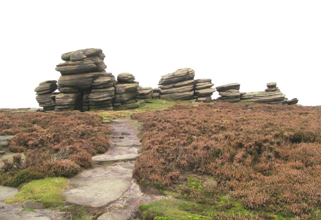 |
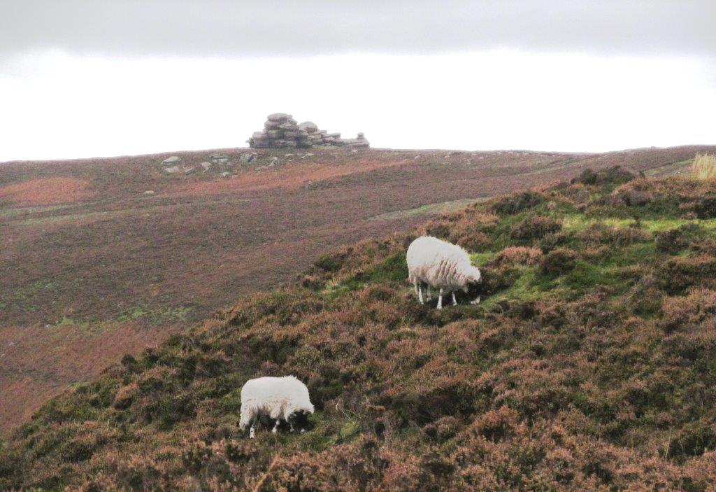
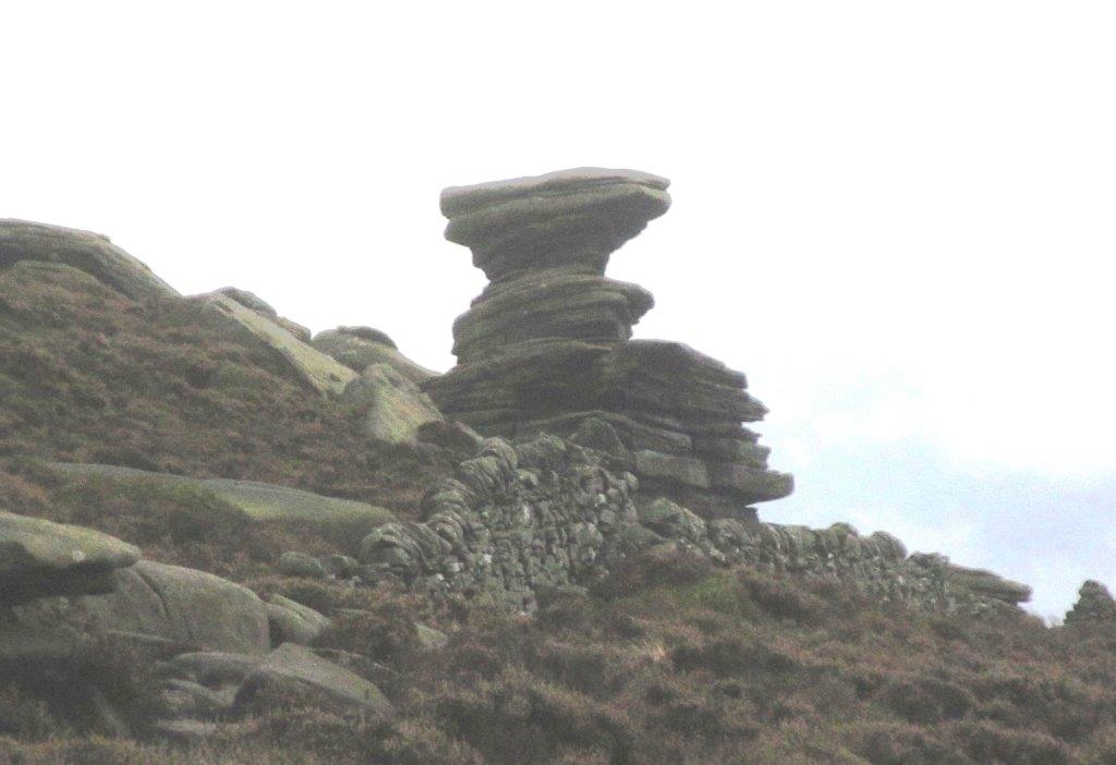
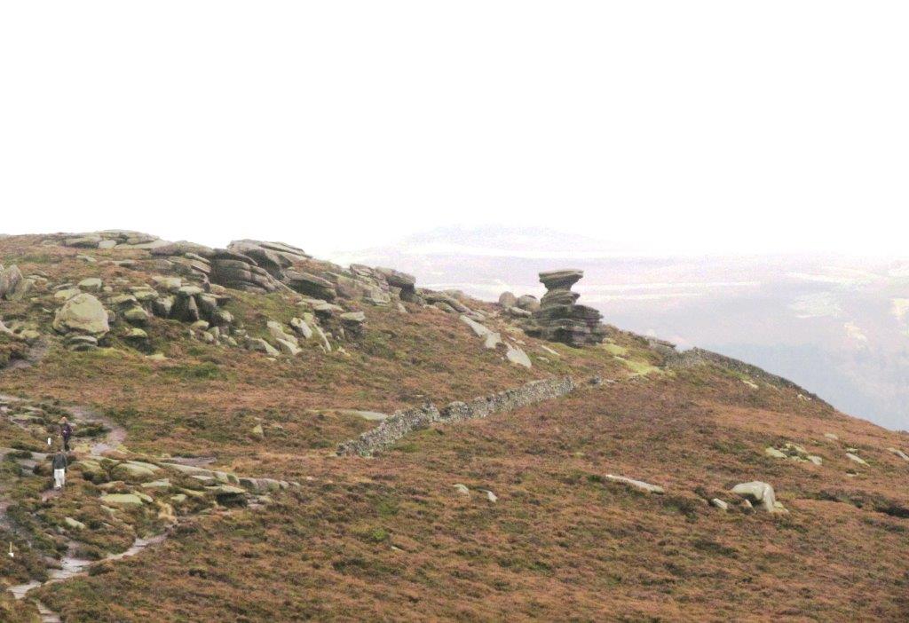
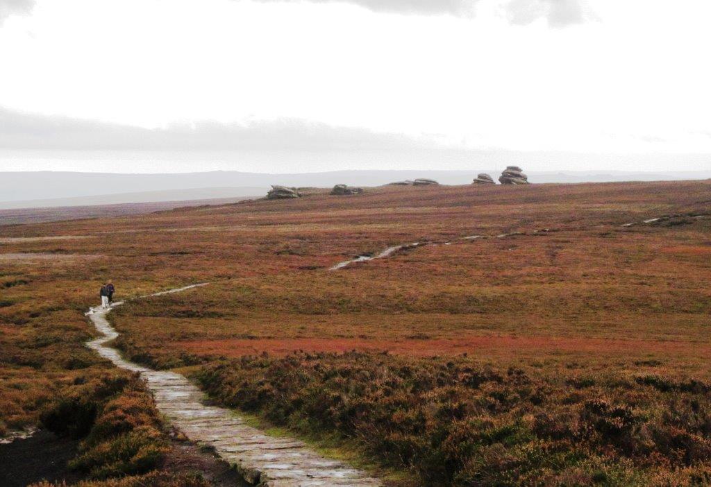
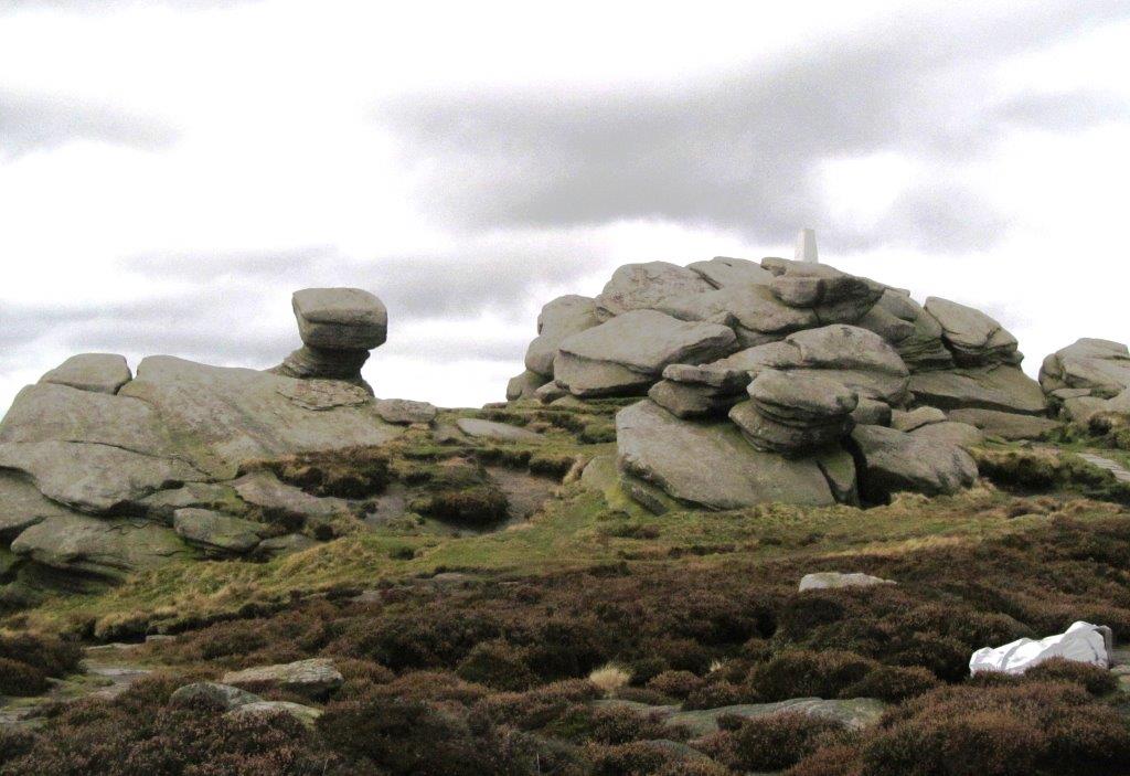
| Wheel Stones |
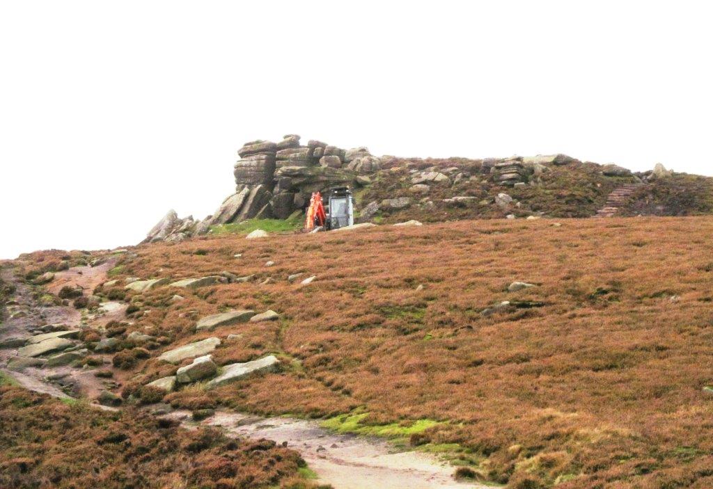 |
| path rebuilding in progress |
 |
| |
 |
| |
 |
| |
 |
| |
 |
| |
 |
| |
 |
| |
 |
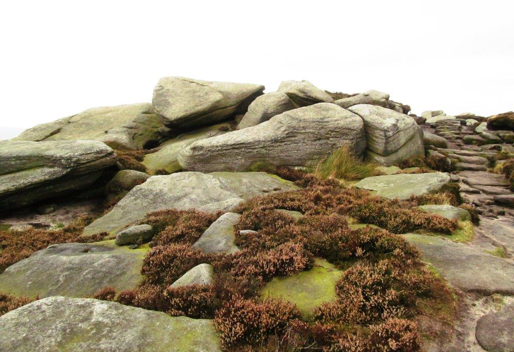
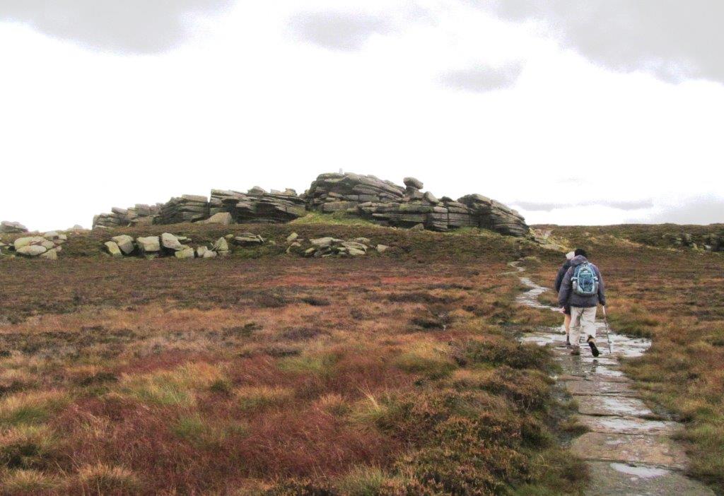
| Back Tor |
 |
| |
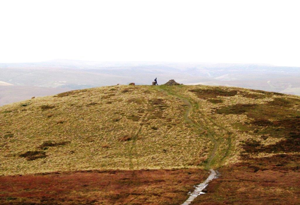 |
| Lost Lad |
 |
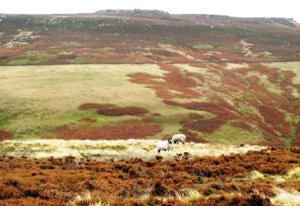
| Upper Derwent Reservoir? |
 |
| |
 |
| end of Sheepfold clough |
 |
| |
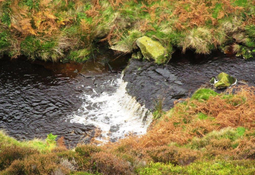 |
| Abbey Brook |
 |
| Abbey Brook |
 |
| |
 |
| |
 |
| |
 |
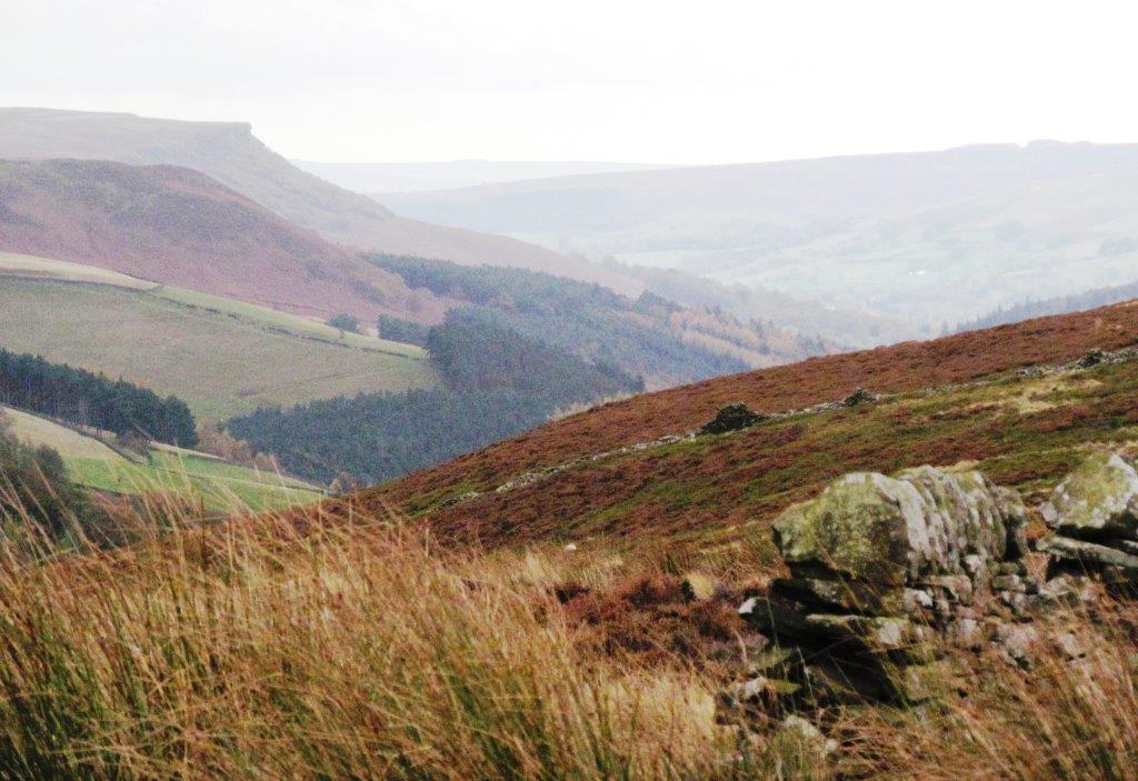
| Howden Edge above |
 |
| |
 |
| top end of Upper Derwent Reservoir just visible at the end
of Abbey Brook |
 |
| as above |
 |
| |
 |
| |
 |
| |
 |
| |
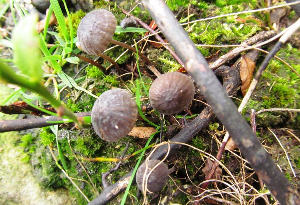 |
| tiny fungi on ascent up Abbey Bank |
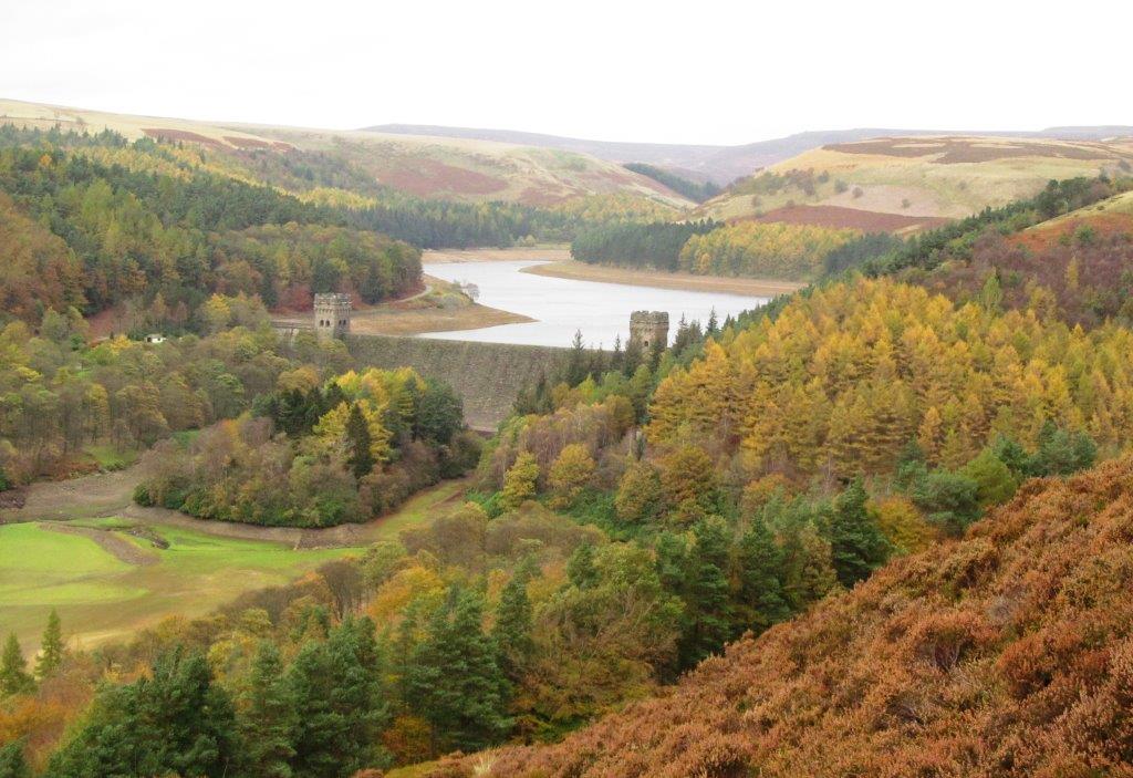 |
| Howden Reservoir |
 |
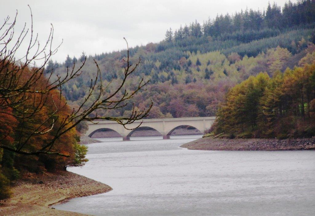
| Upper Derwent Reservoir |
 |
| Upper Derwent Reservoir |
 |
| Upper Derwent Reservoir |
 |
| |
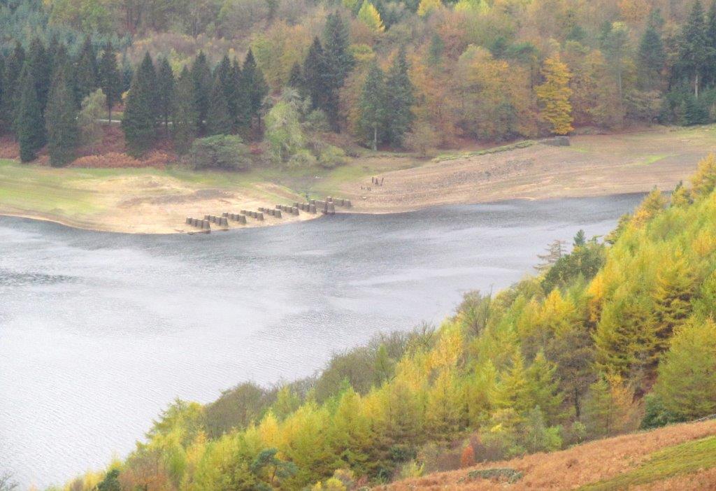 |
| remnants of dam construction works disclosed by low
reservoir level |
 |
| Upper Derwent Reservoir |
 |
| |
 |
| |
 |
| Great Tor on Bamford Edge in view |
 |
| Win Hill behind |
 |
| |
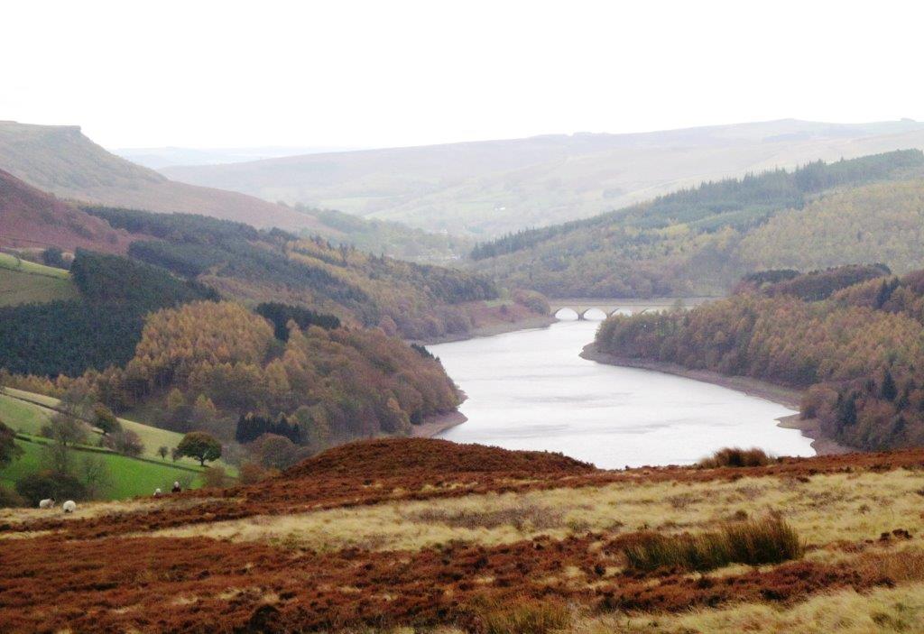 |
| Ashopton Viaduct below |
 |
| |
 |
| Ladybower Reservoir & Ashoton Viaduct |
 |
| |
 |
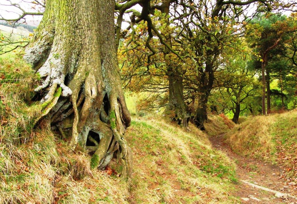
| down towards Wellhead |
 |
| |
 |
| |
 |
| |
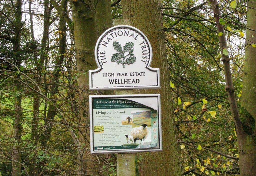 |
| The National Trust cares for most of the area of this walk |
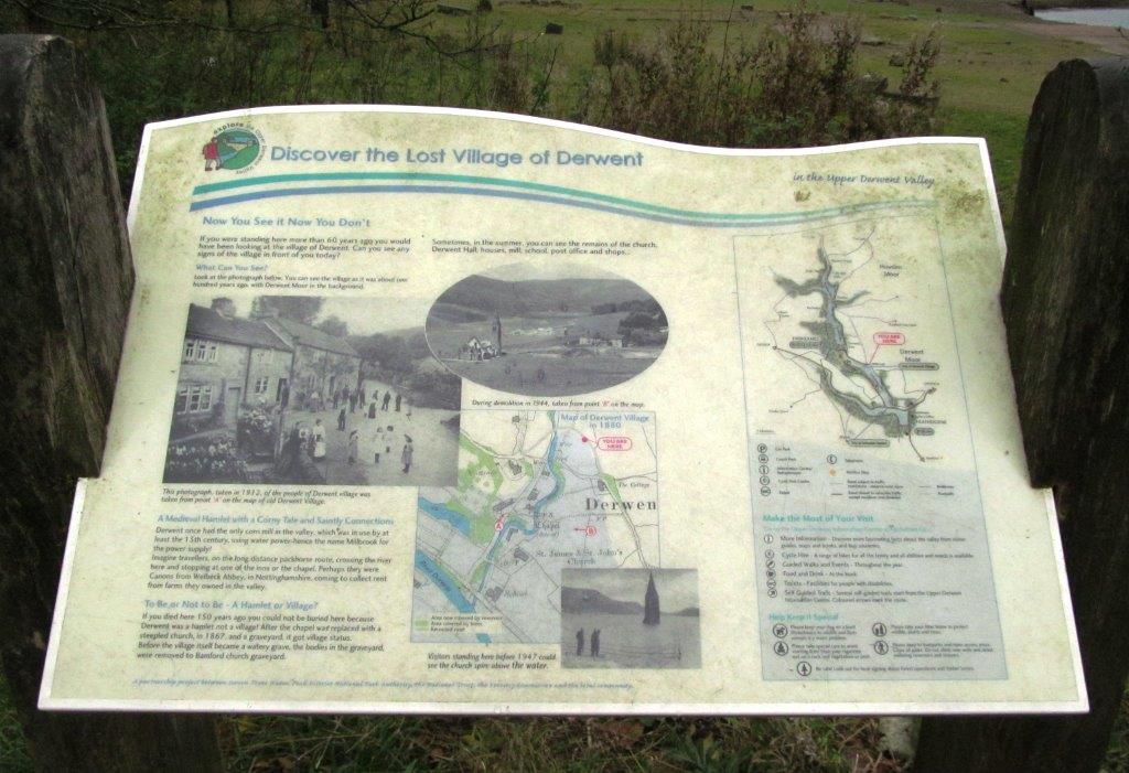 |
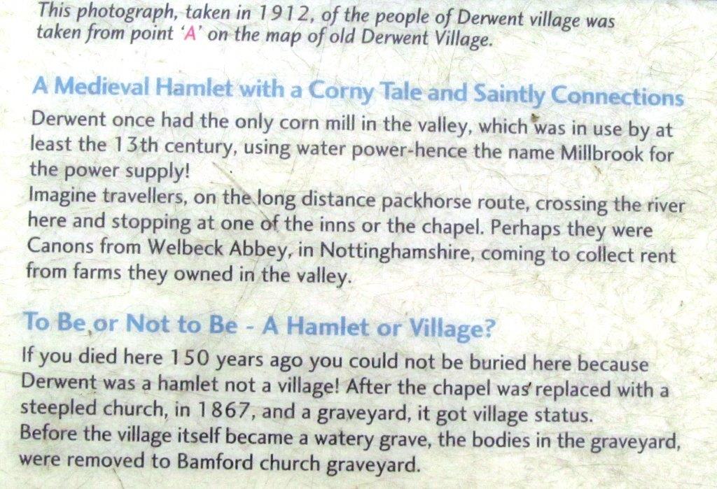
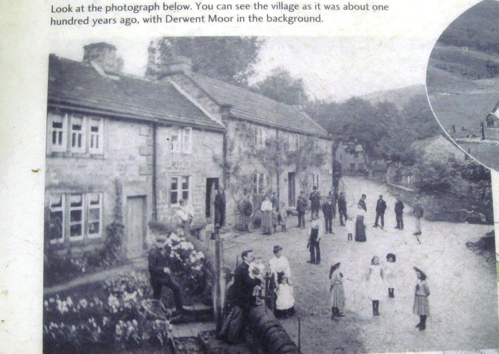
| Lost Village of Derwent |
 |
| |
 |
| |
 |
| |
 |
| |
 |
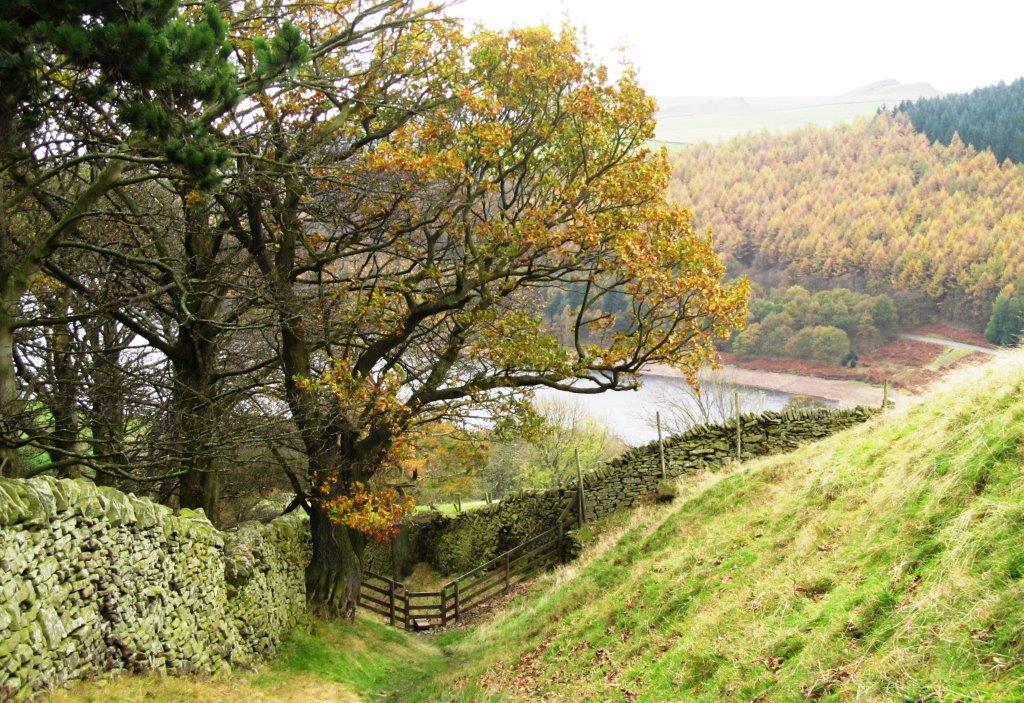
| alongside Ladybower Reservoir |
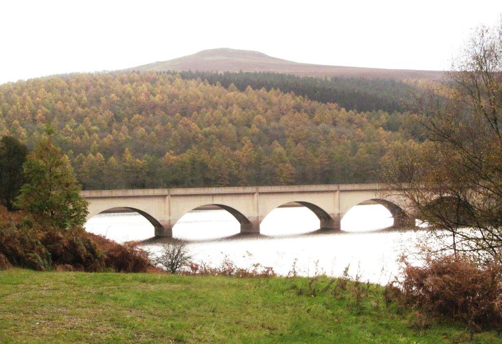 |
| Ashopton Viaduct with Winhill behind |
homepage - Day Walks
Index 2014 - contact me at