homepage - Day Walks
Index 2014 - contact me at

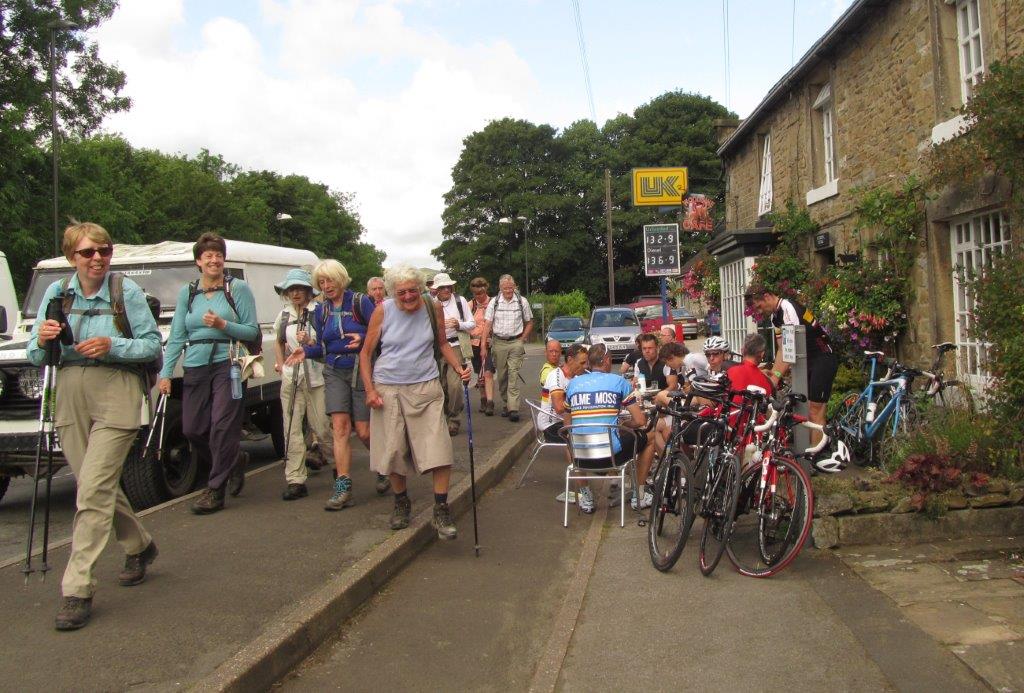
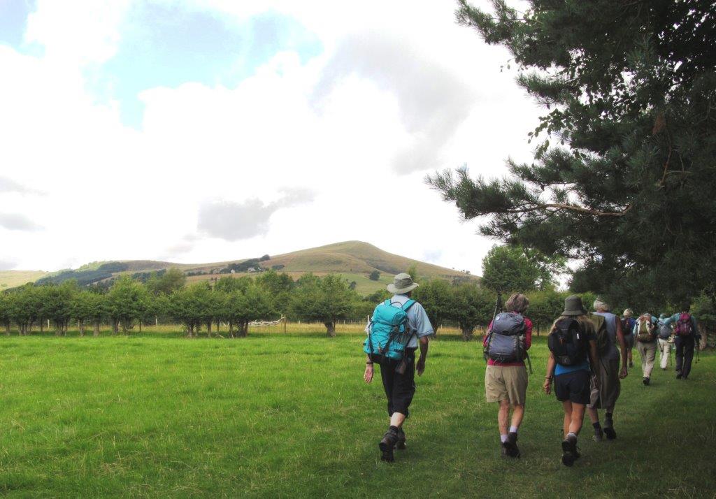
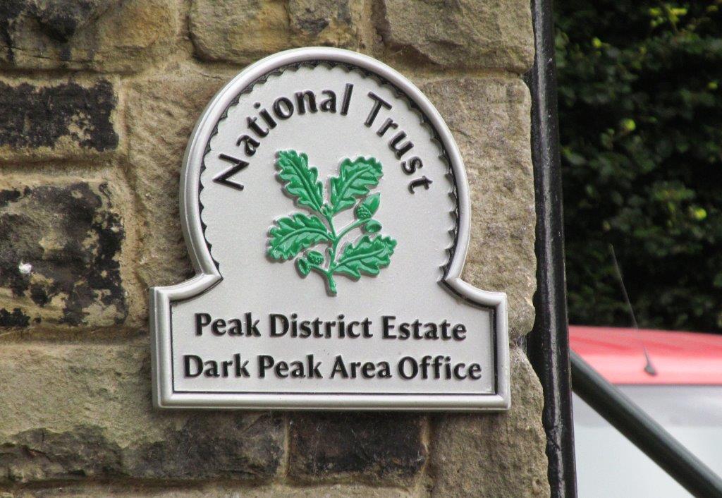
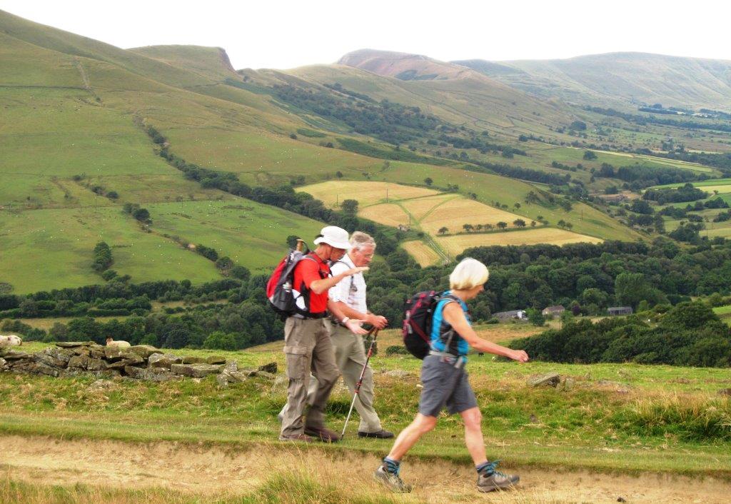
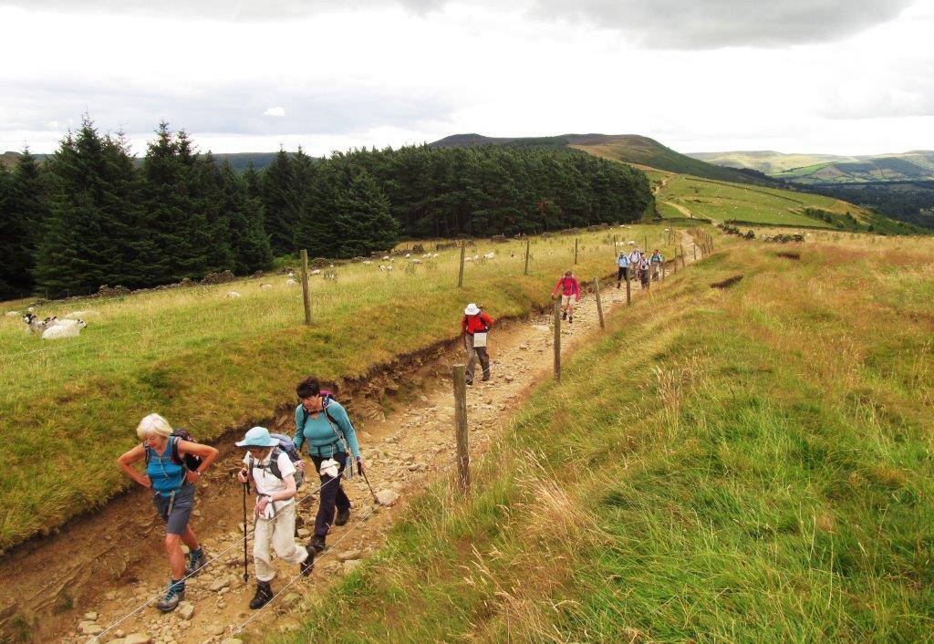
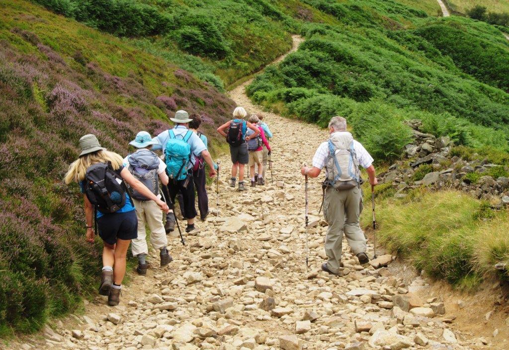
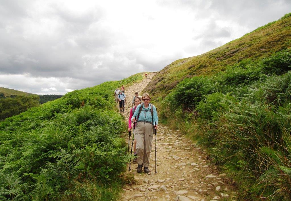
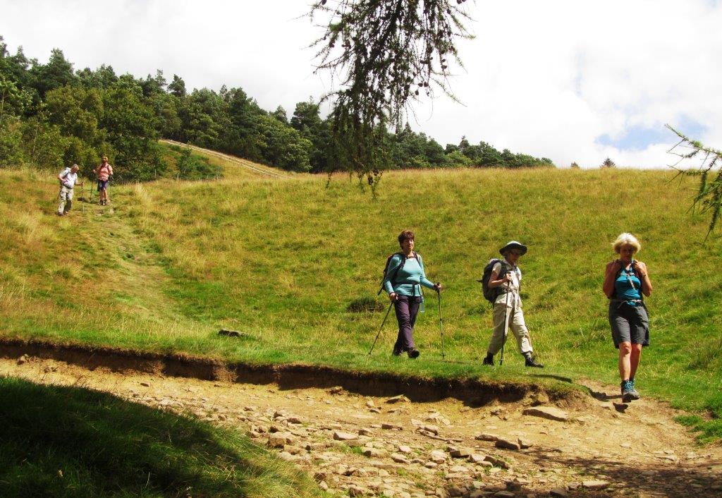
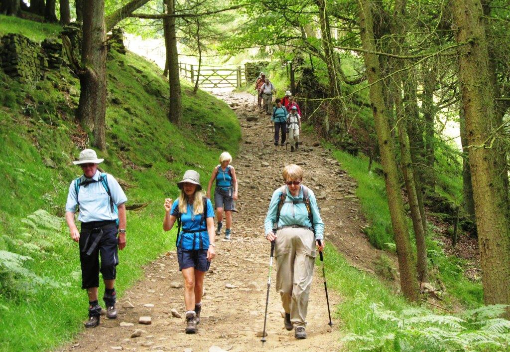
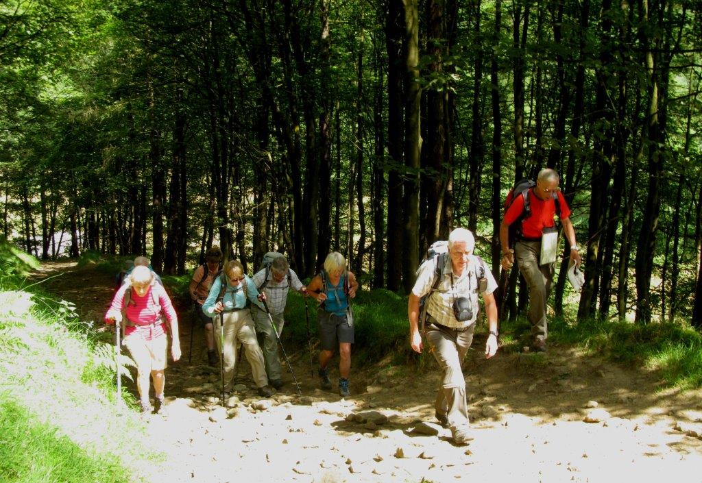
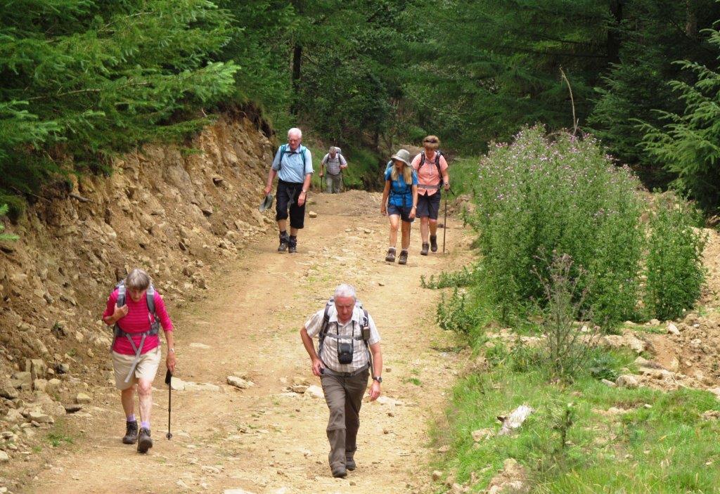
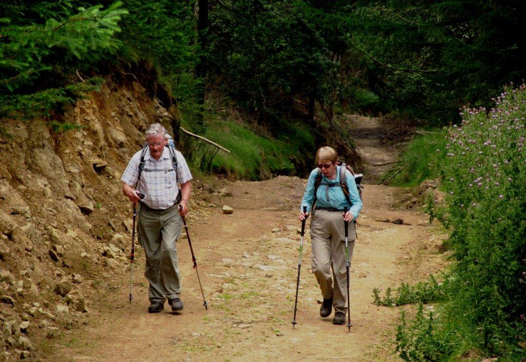
2014.07.27 - Hope, Oaker Farm, Edale End, Roman Road, Rowlee
Bridge & Farm, Hagg Farm, Lady Bower Reservoir, Wooler Knoll, cross Roman Road,
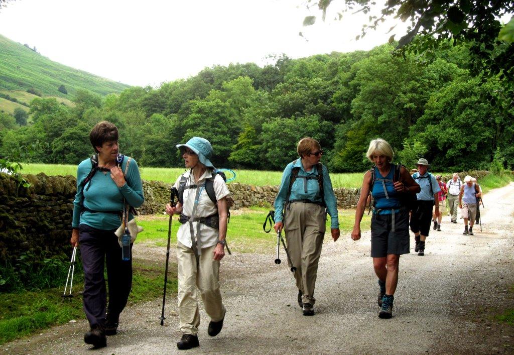
Fulwood Stile Farm, Hope - leader Judy Gathercole - Sunday
 |
| |
 |
| |
 |
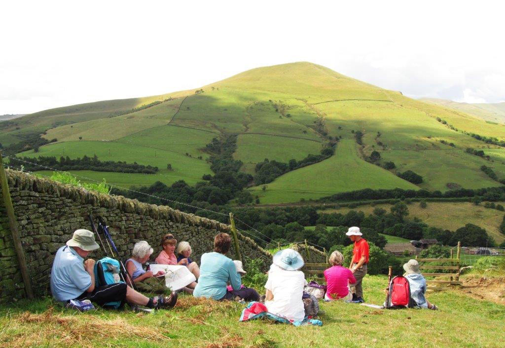
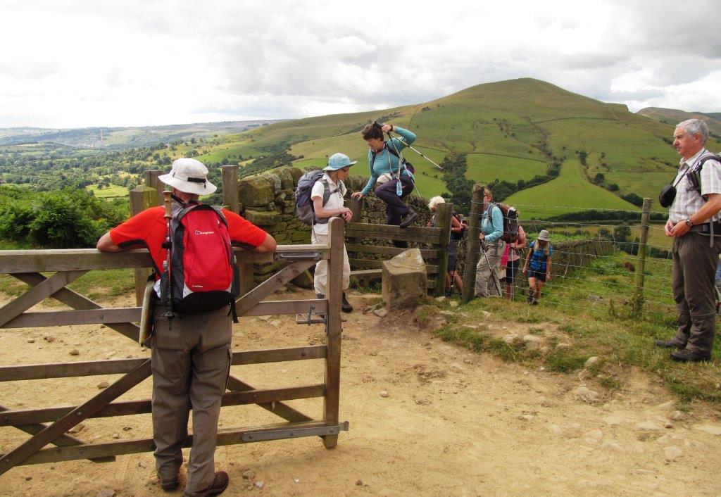
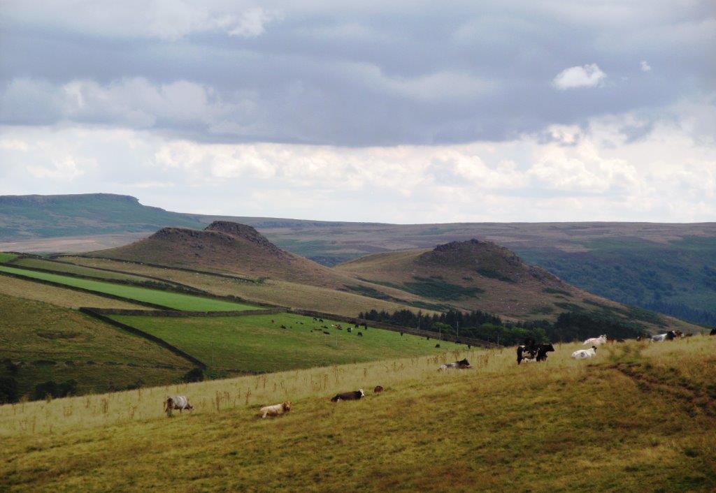
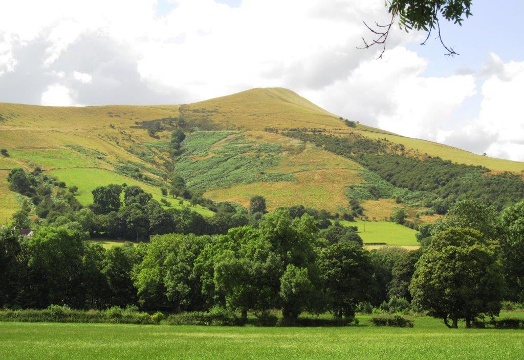
| Lose Hill |
 |
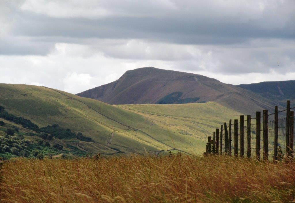
| Mam Tor |
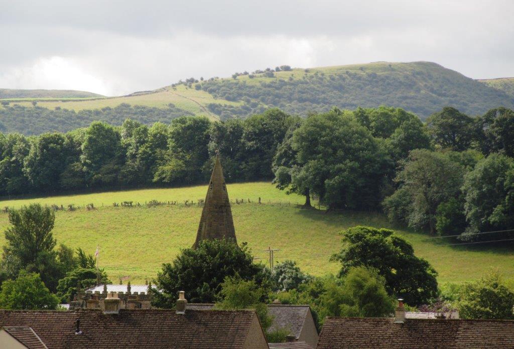 |
| Hope Church Spire |
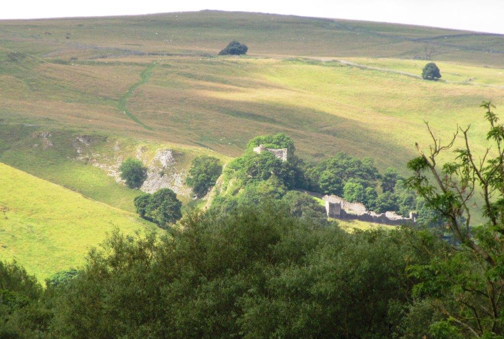 |
| Peveril Castle? |
 |
| |
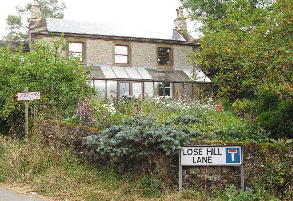 |
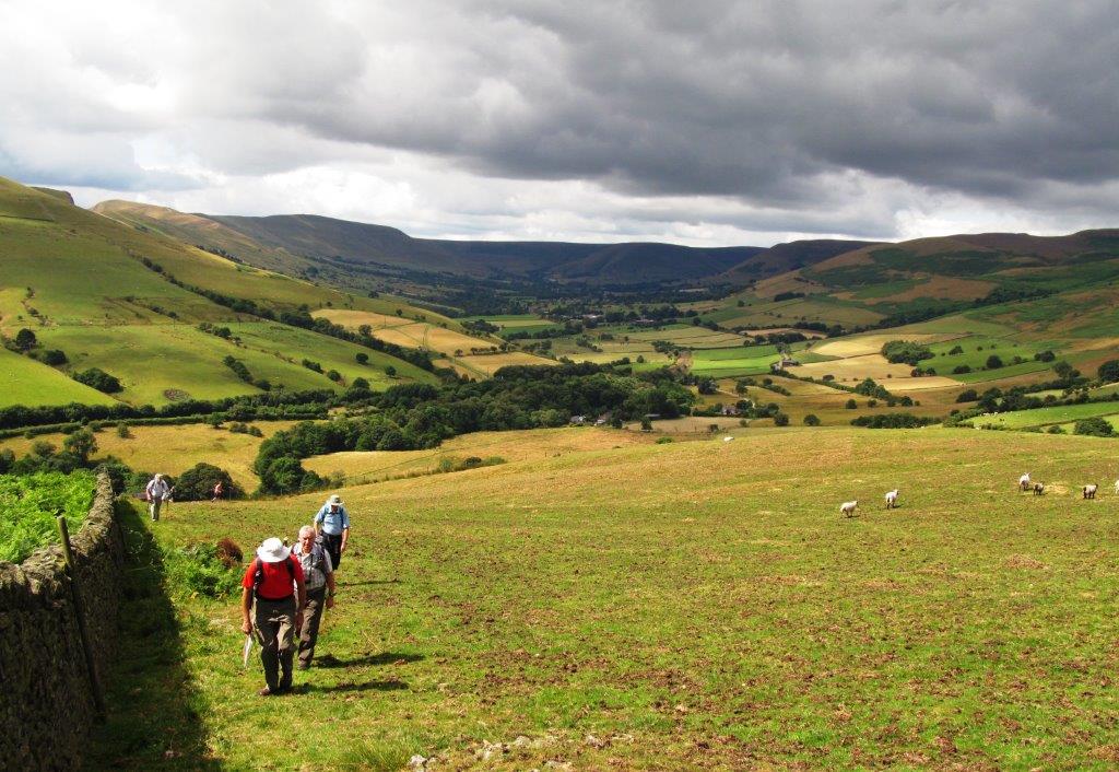
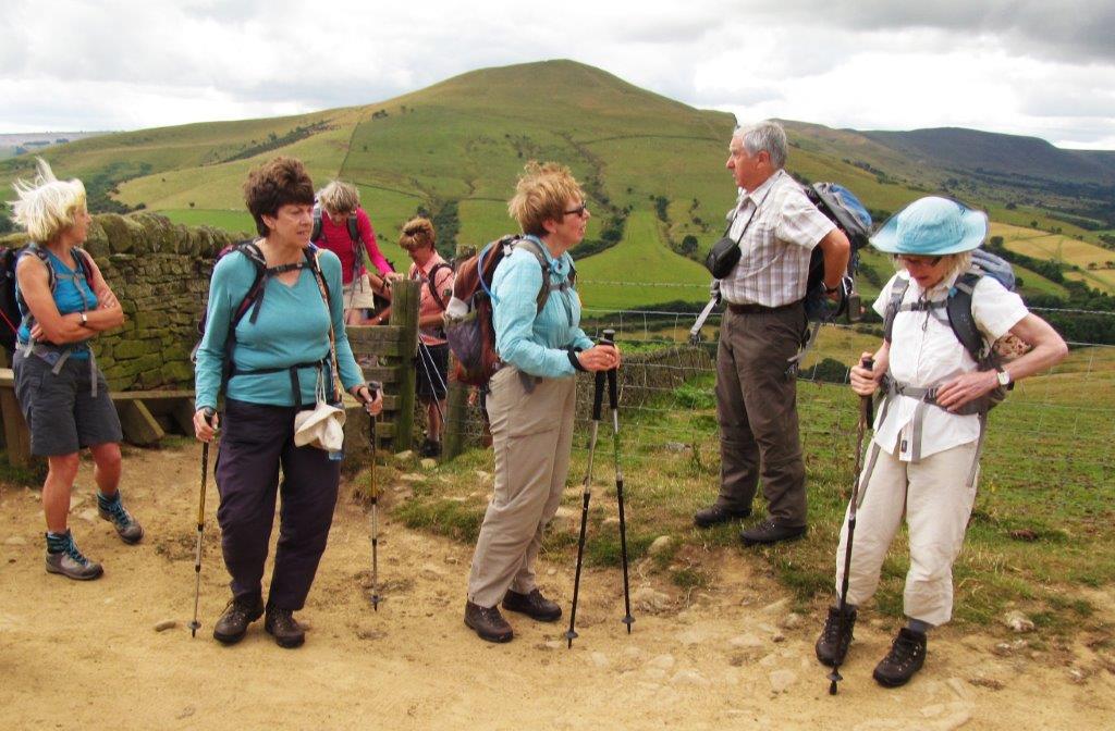
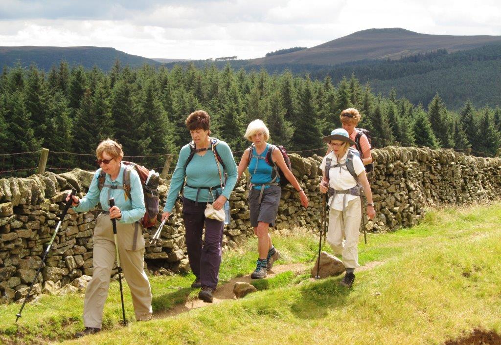
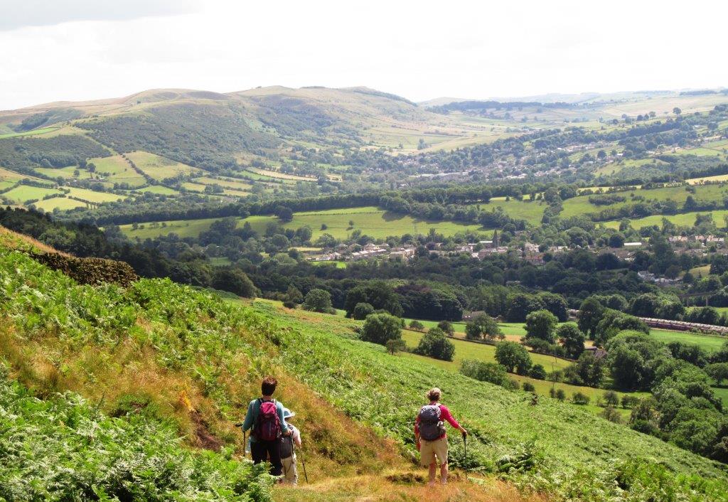
| Lose Hill Lane |
 |
| |
 |
| |
 |
| |
 |
| |
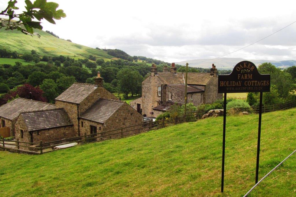 |
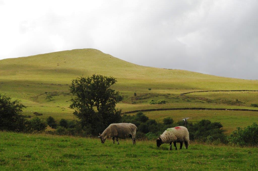
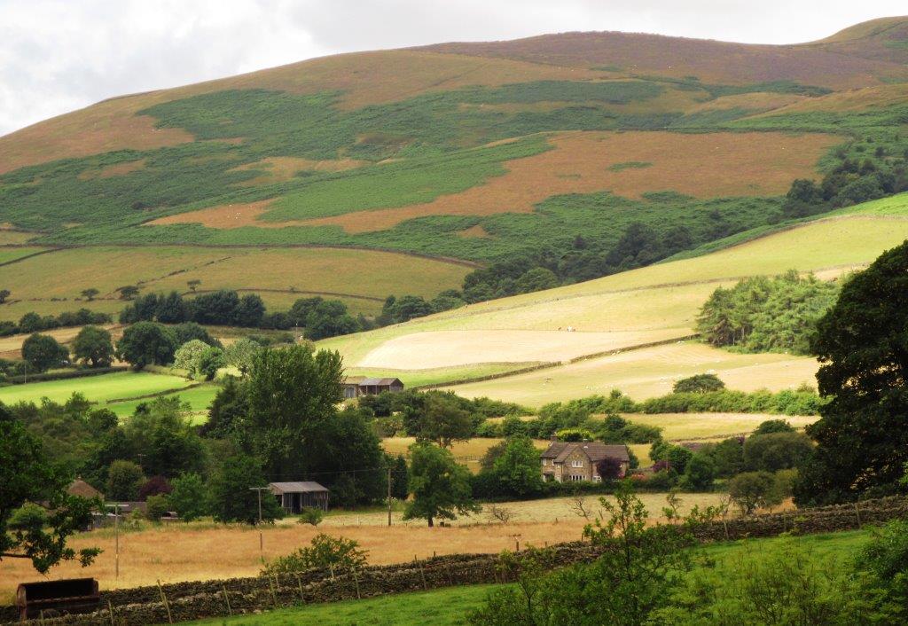
| Oaker Farm |
 |
| |
 |
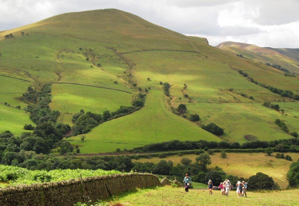
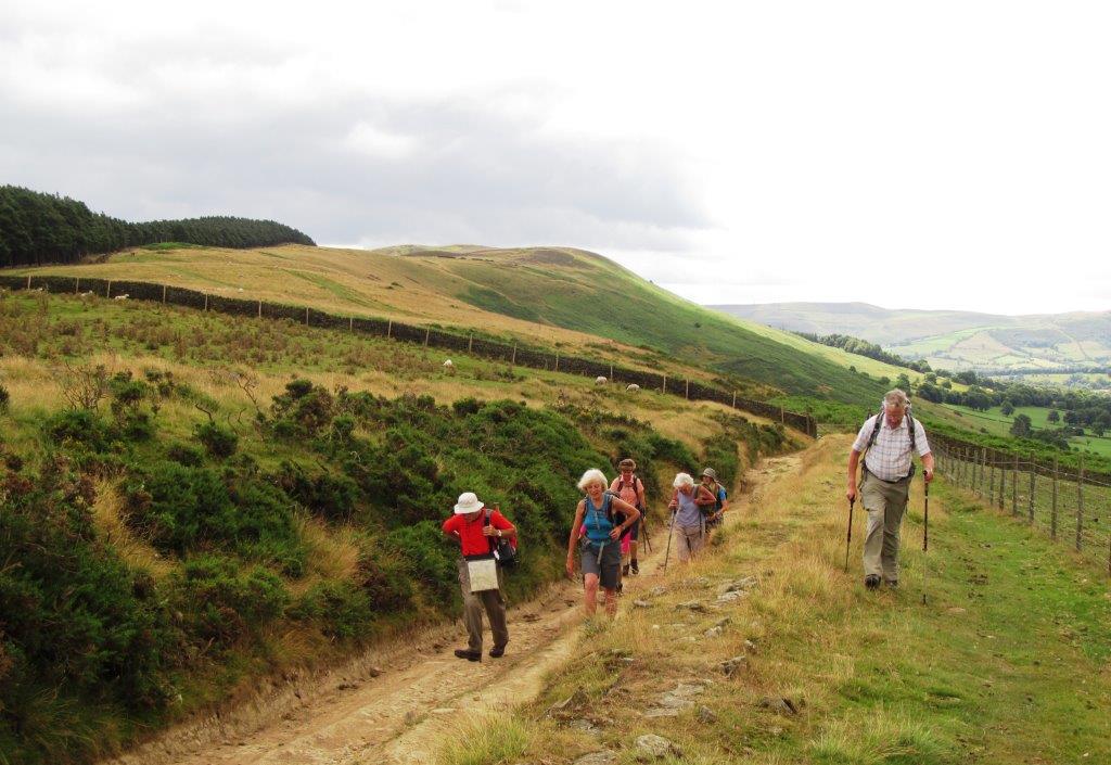
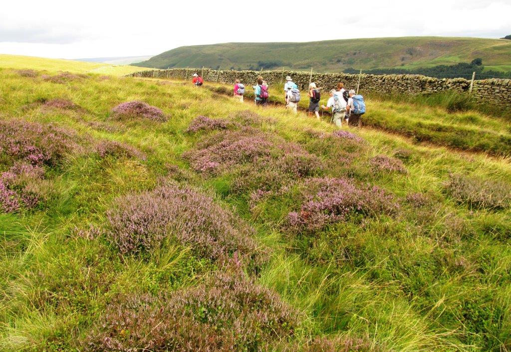
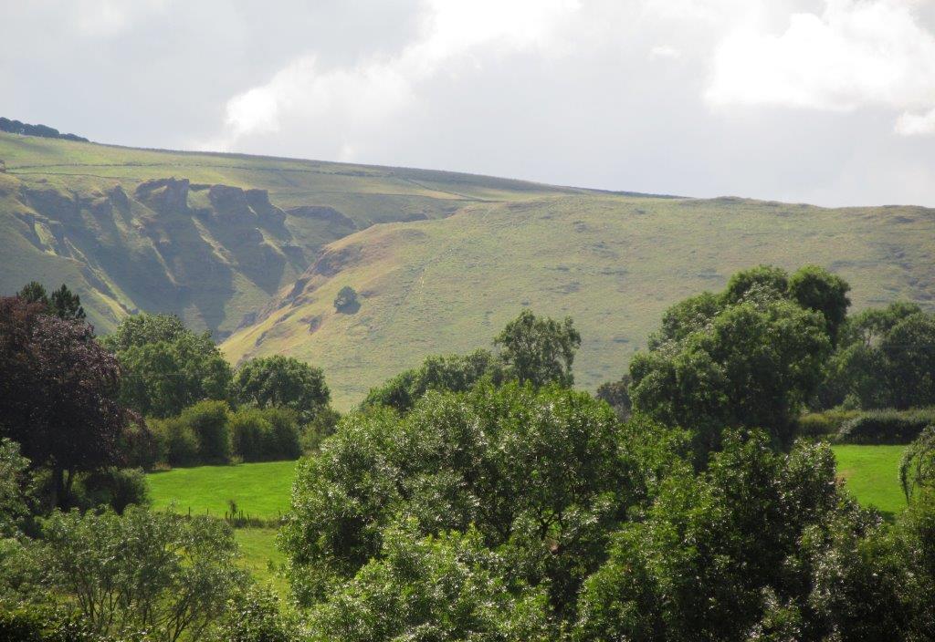
| Roman Road above on ridge |
 |
| |
 |
| |
 |
| |
 |
| |
 |
| |
 |
| |
 |
| |
 |
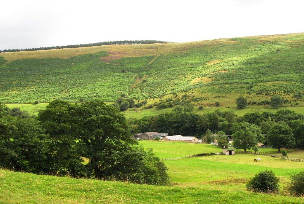
| Edale End |
 |
| |
 |
| |
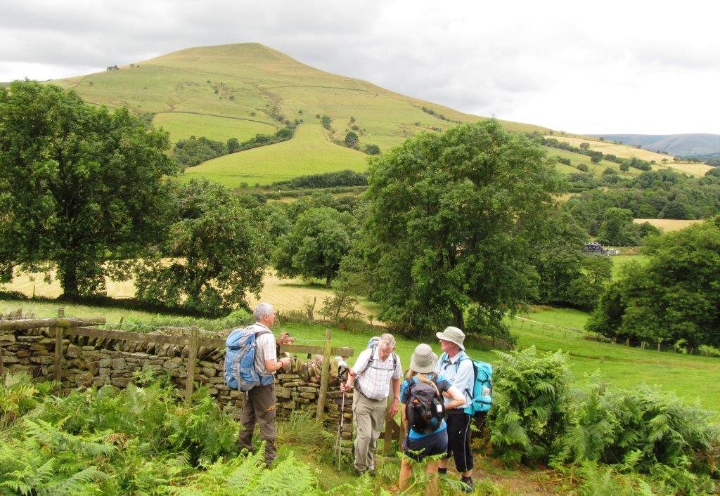 |
| Lose Hill behind |
 |
| |
 |
| |
 |
| |
 |
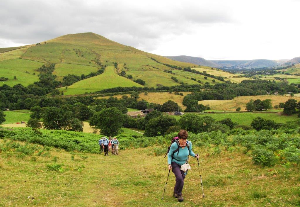
| Vale of Edale behind |
 |
| |
 |
| |
 |
| |
 |
| |
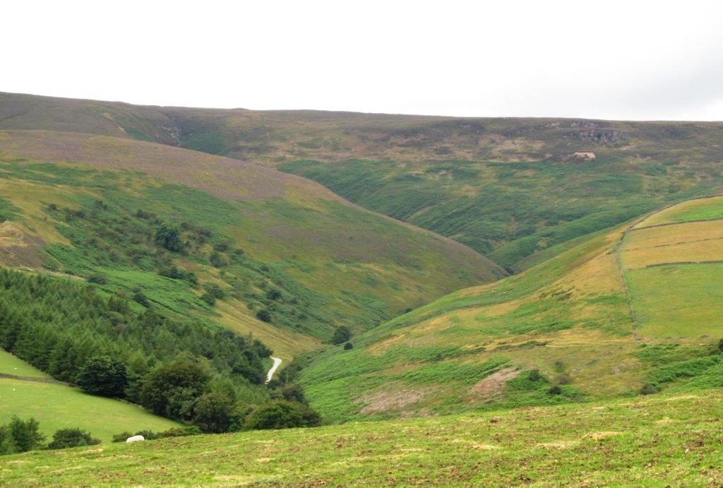 |
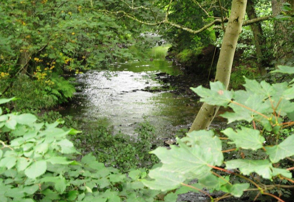
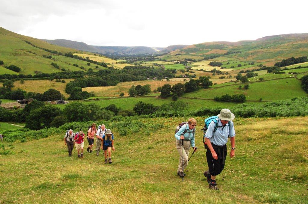
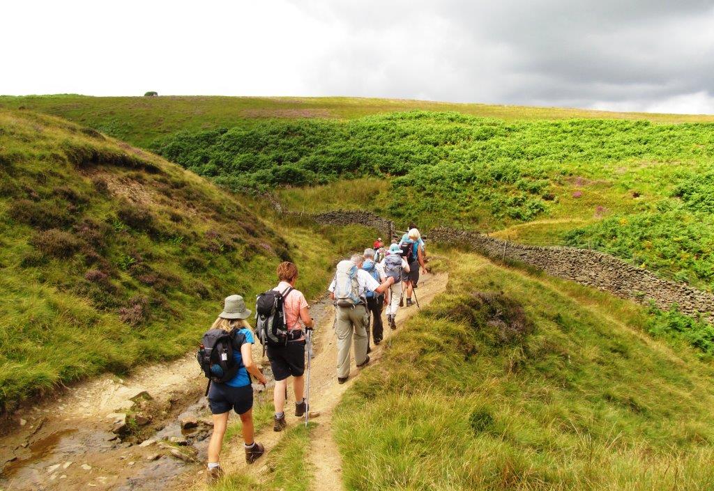
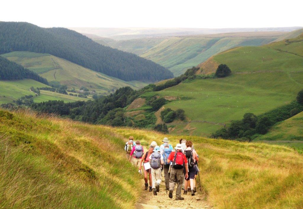
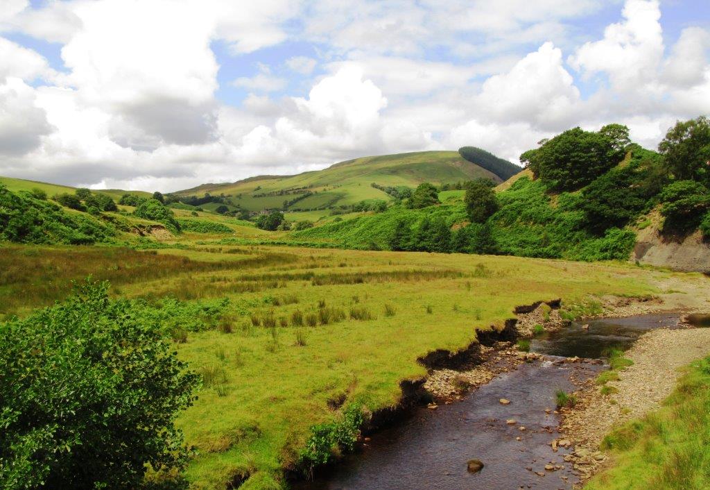
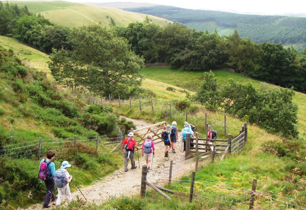
| Jaggers Clough |
 |
| up toward the Roman Road |
 |
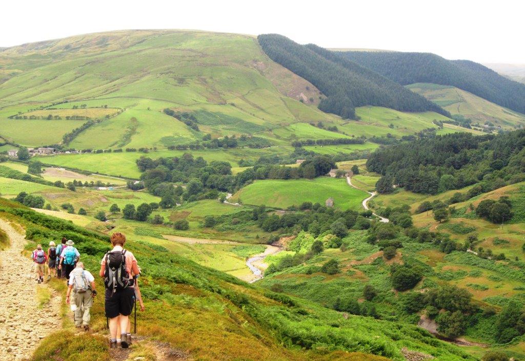
| on the Roman Road - Back Tor, Mam Tor, Rushup Edge behind |
 |
| |
 |
| Hope Cross |
 |
| |
 |
| Mam Tor in background |
 |
| Win Hill behind right |
 |
| |
 |
| approaching Blackley Clough |
 |
| Crook Hill (mound to right - mound to left apparently
un-named?). Bamford Edge left in distance |
 |
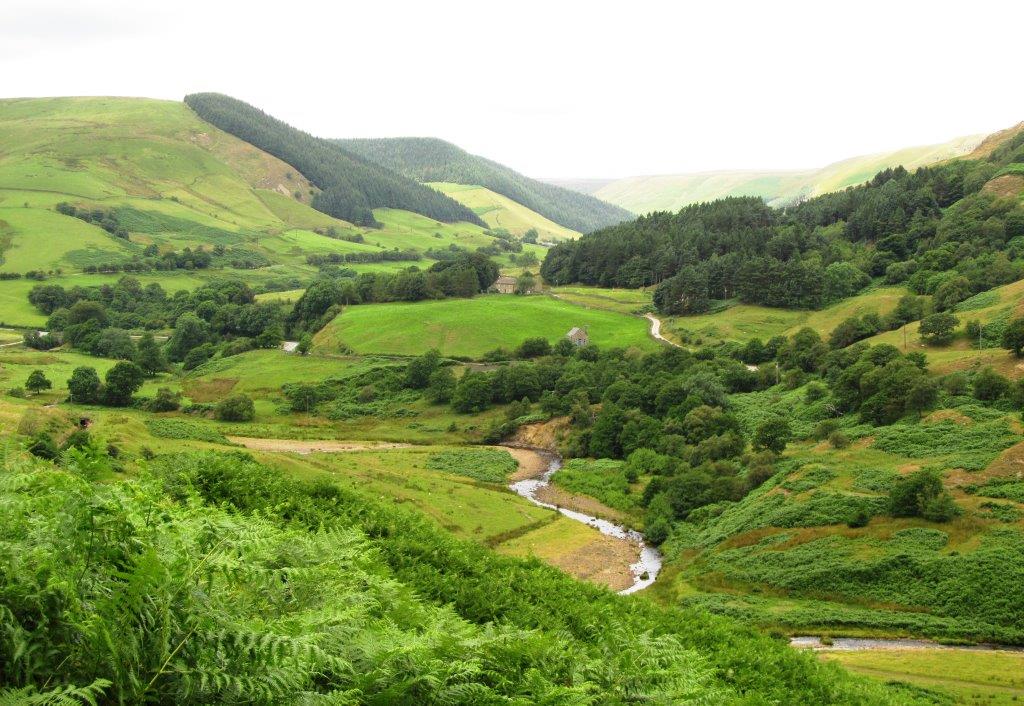
| Alport Valley ahead |
 |
| River Ashop and A57 (Snake) road crosses in front of Alport
Valley |
 |
| |
 |
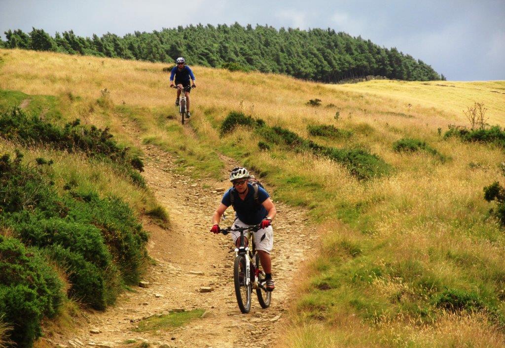
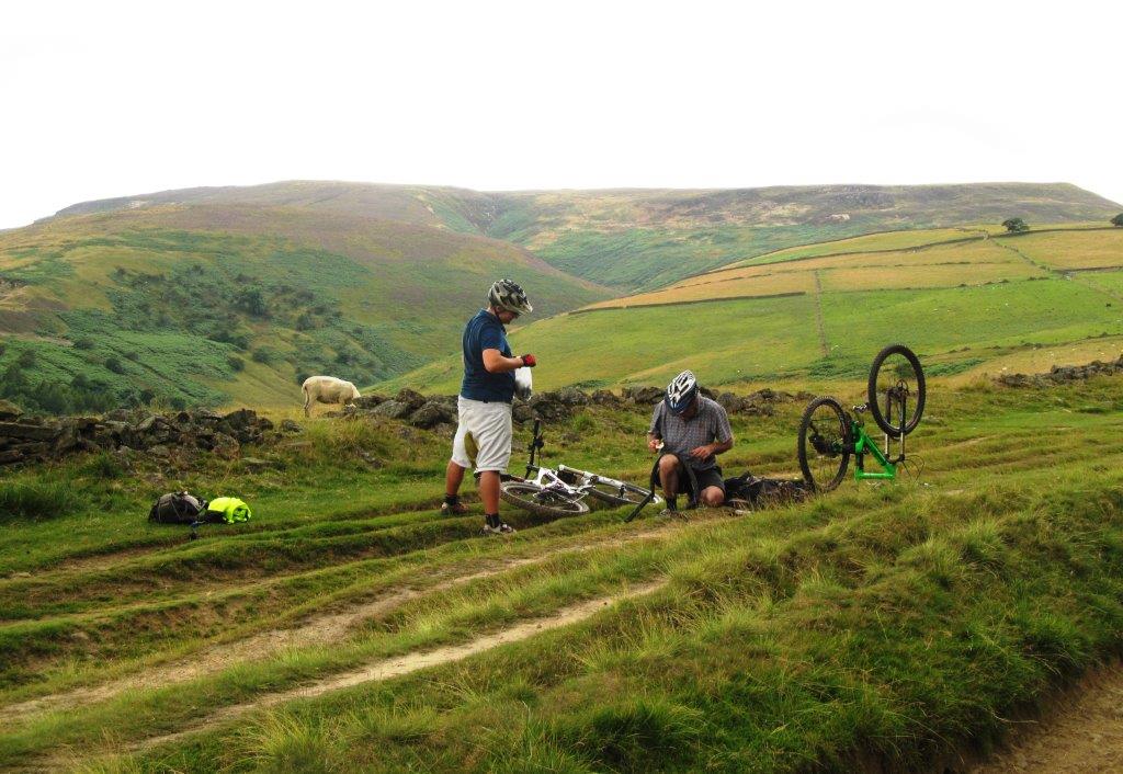
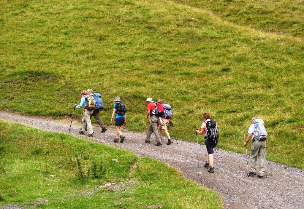
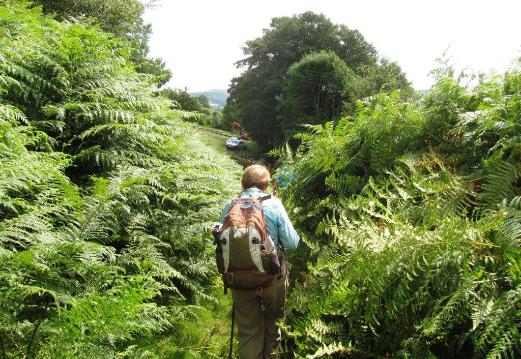
| a good surface for mountain bikes |
 |
| |
 |
| River Ashop in front |
 |
| |
 |
| |
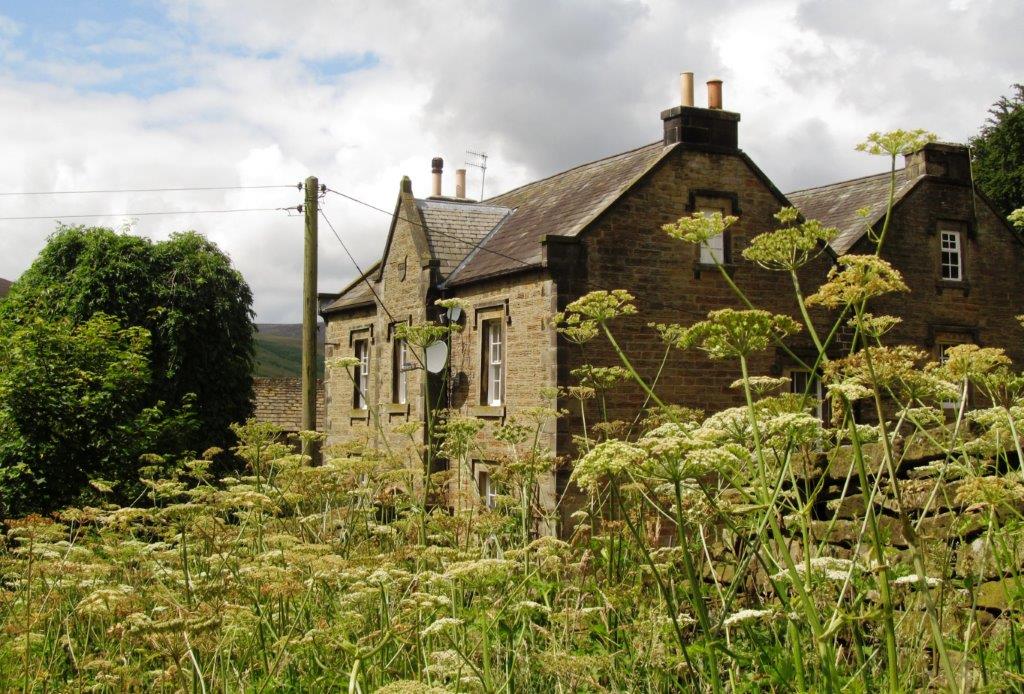 |
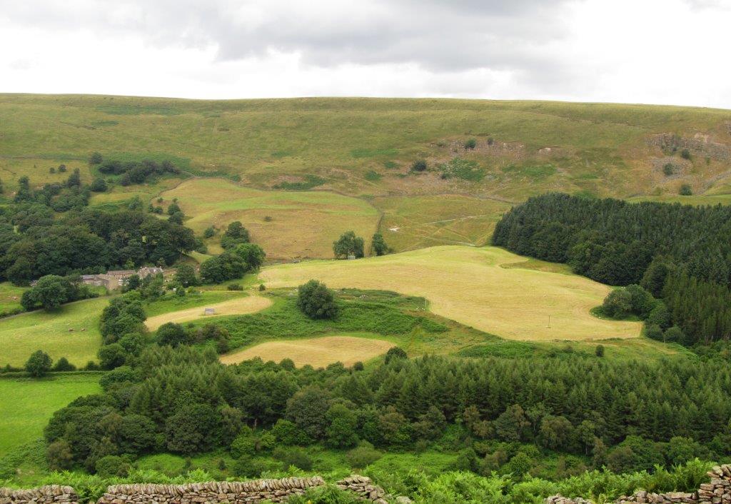
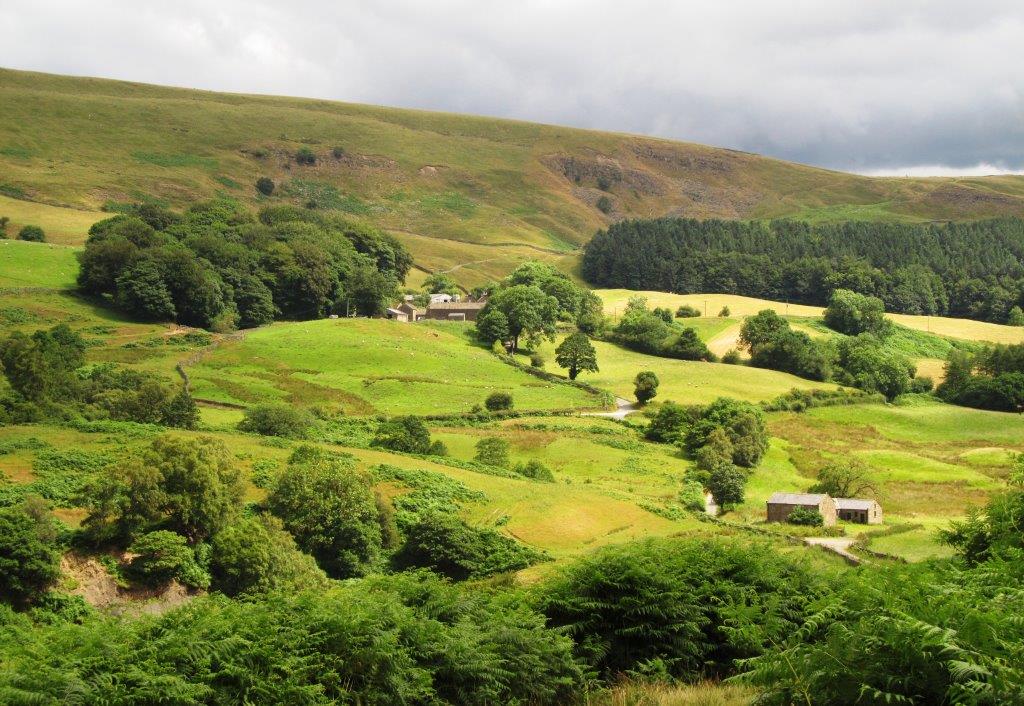
| Rowlee Farm |
 |
| |
 |
| |
 |
| |
 |
| |
 |
| Kinder behind |
 |
| |
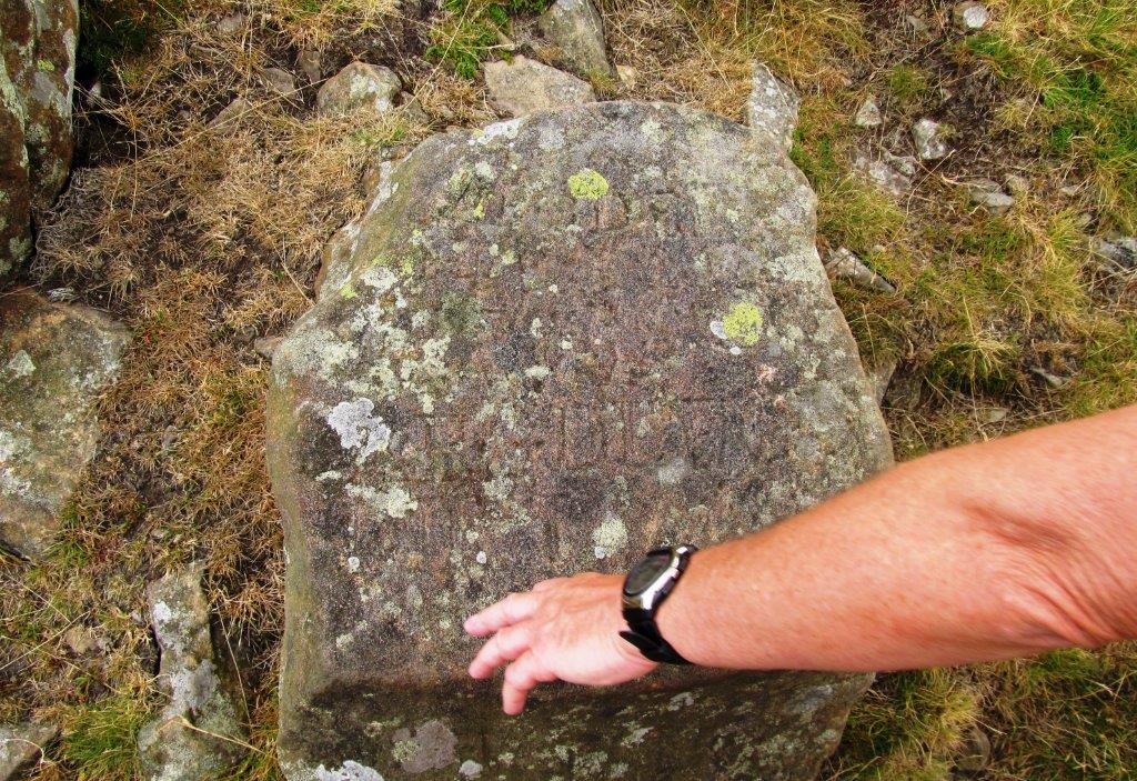 |
| an alphabet stone - used for instructing sheep near
Bellhaggbarn? |
 |
| |
 |
| |
 |
| |
 |
| |
 |
| |
 |
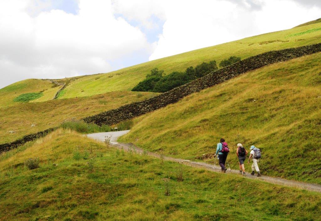
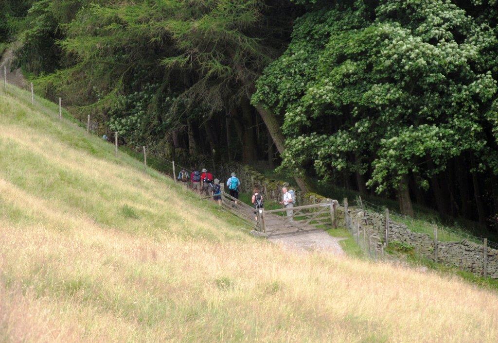
| passing Hagg Farm |
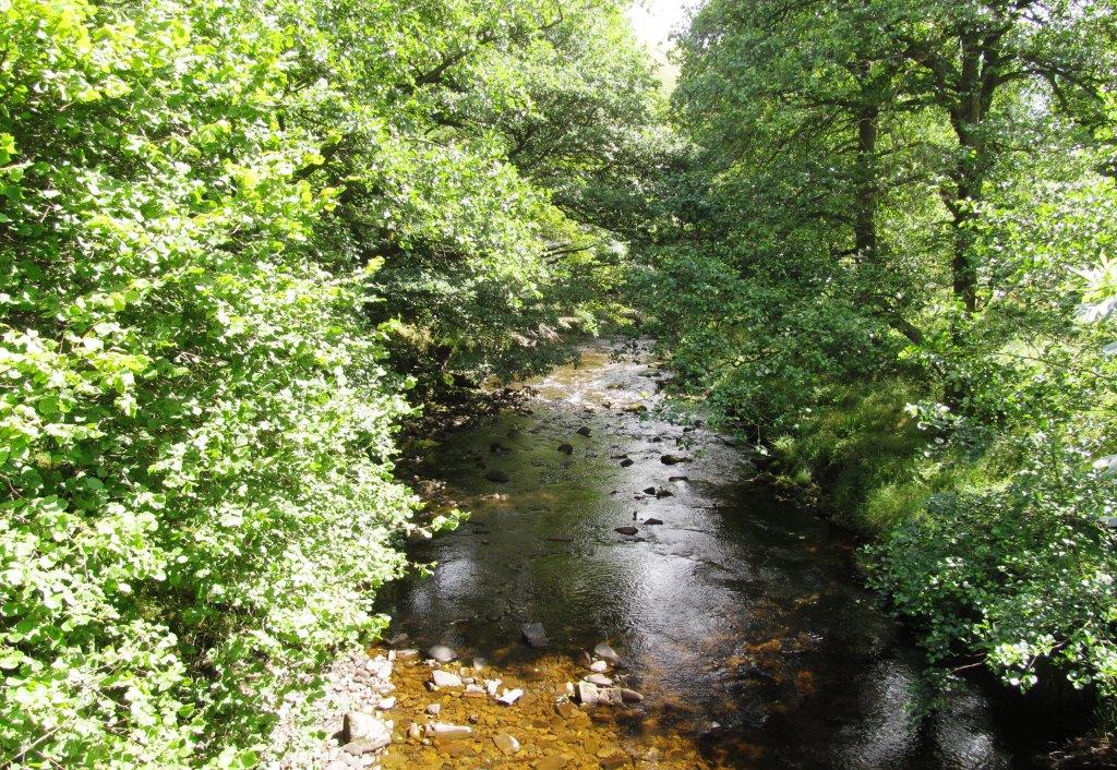 |
| River Ashop |
 |
| |
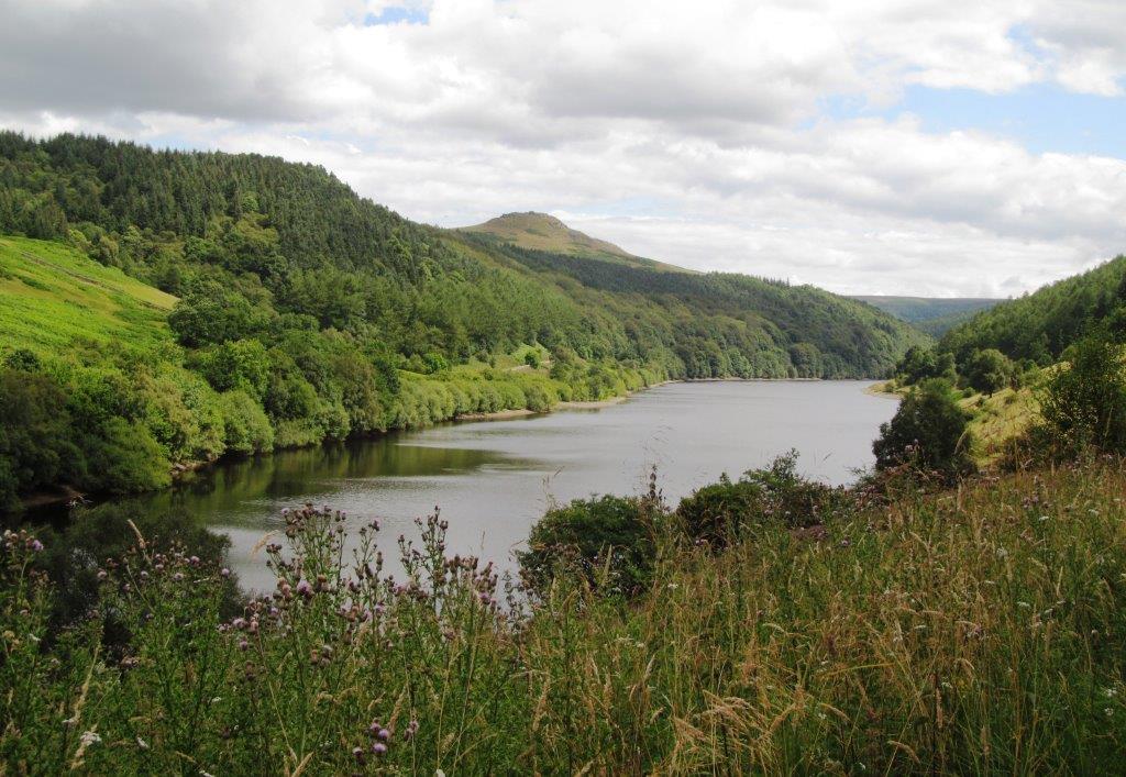 |
| west arm of Ladybower Reservoir - Crook Hill behind |
 |
| |
 |
| |
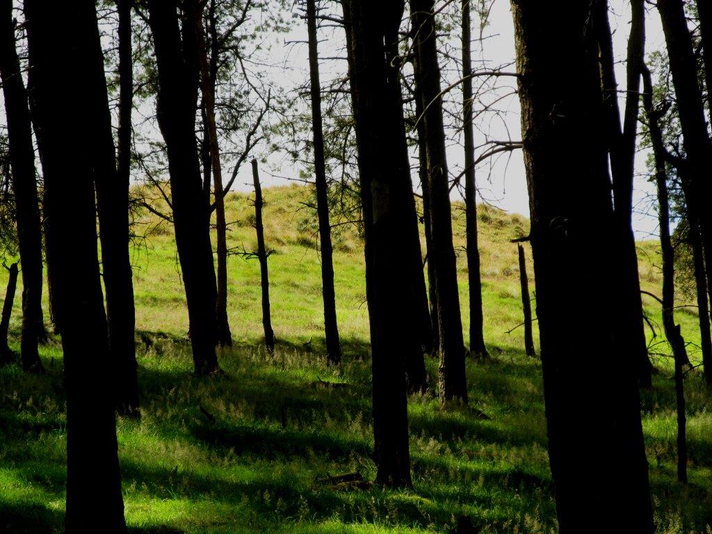 |
| Wooler Knoll behind the pines |
 |
| Hope Church spire in view |
 |
| |
 |
| |
 |
| |
 |
| Lose Hill |
 |
| |
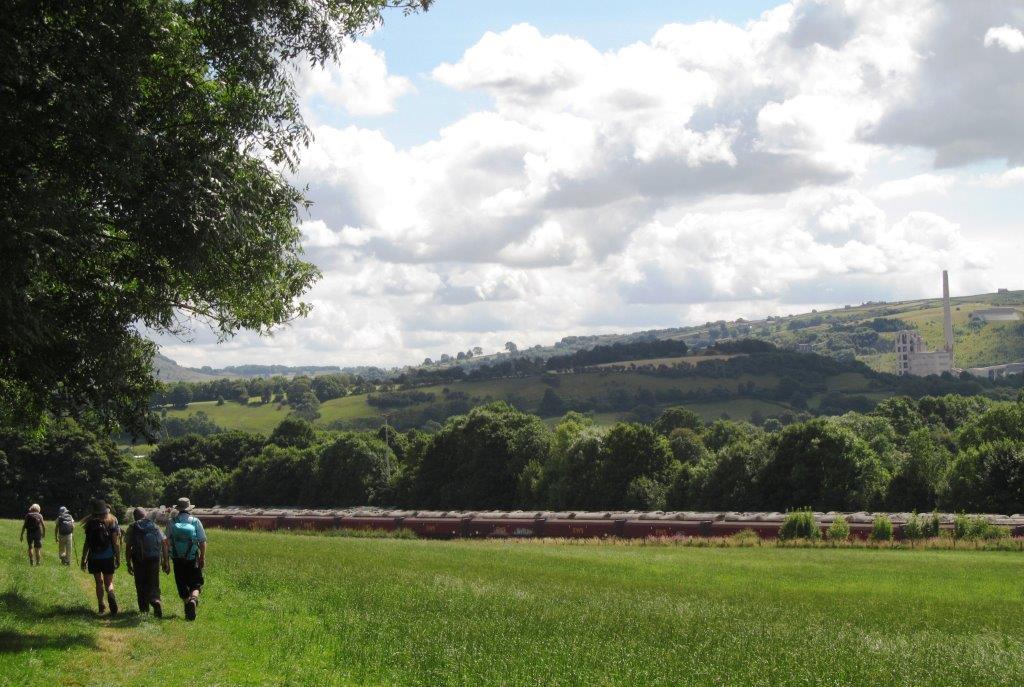 |
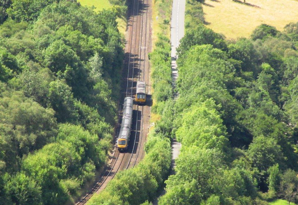
| Hope Cement Plant to right. Cement trucks in siding in
front. |
 |
| Winnats Pass |
 |
| |
 |
| |
 |
| |
homepage - Day Walks
Index 2014 - contact me at