homepage - Day Walks
Index 2014 - contact me at

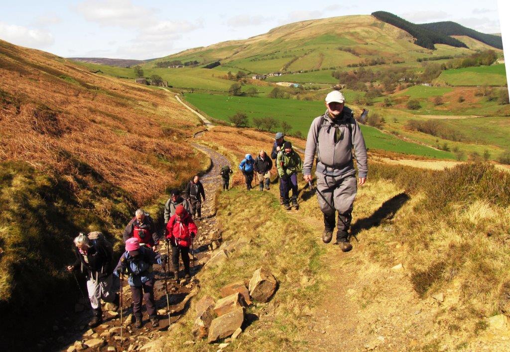
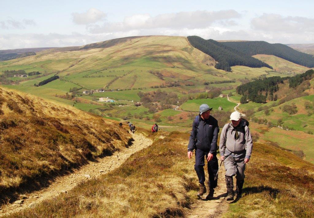
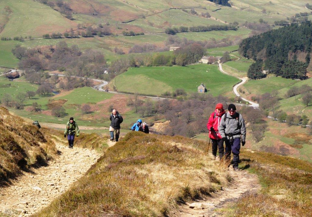
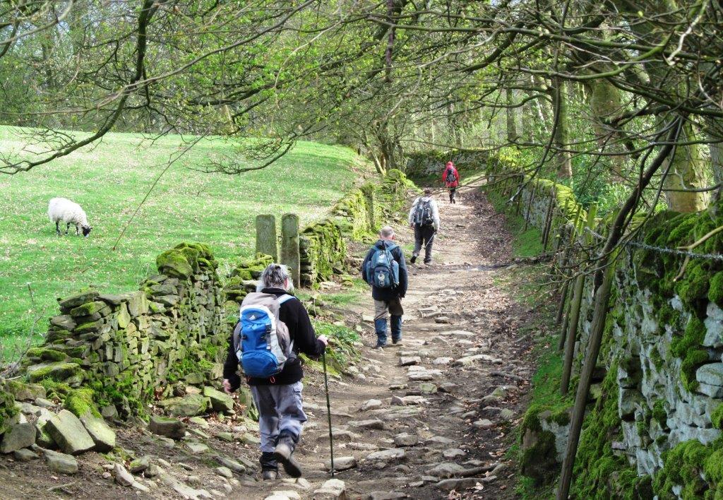
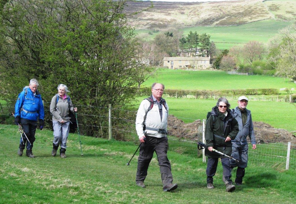
2014.04.13 - Ladybower Reservoir, Alport Castles, Alport
Bridge, Hope Cross, Aston, Hope Station - leaders Malcolm & Cath Mackay - Sunday
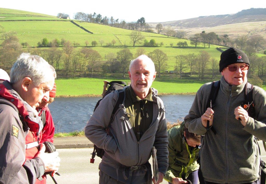 |
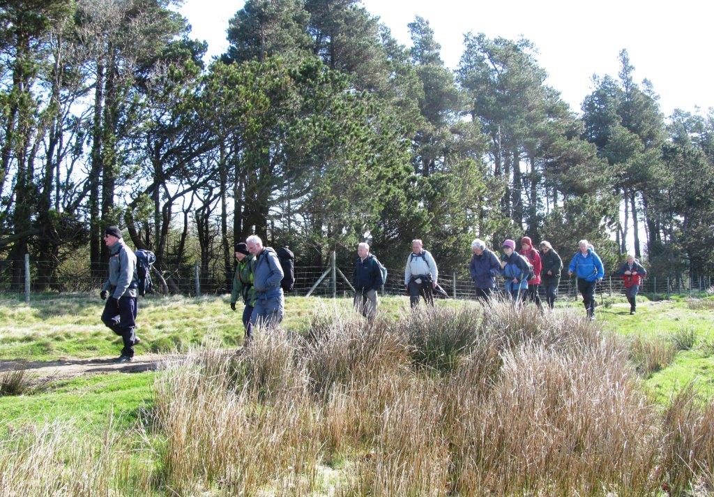
| Ladybower (near War Memorial) |
 |
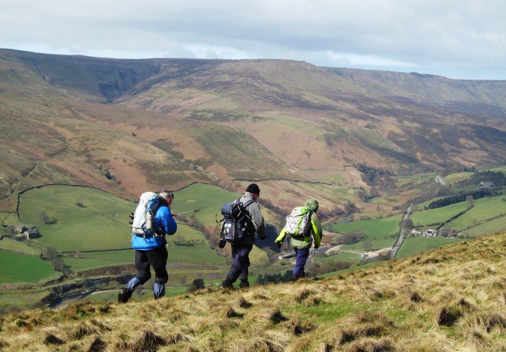
| up to Open Hagg |
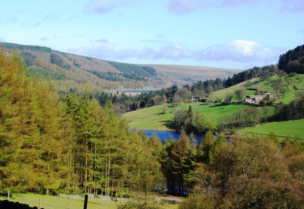 |
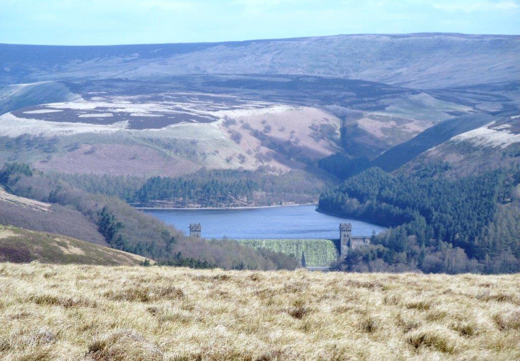
| Upper Derwent Reservoir wall just visible |
 |
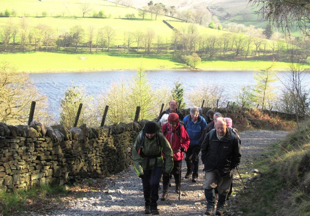
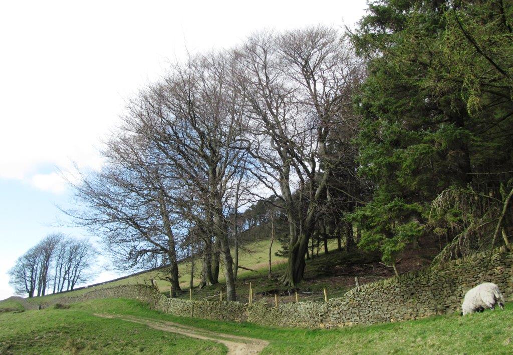
| east side Ladybower Reservoir |
 |
| |
 |
| |
 |
| |
 |
| |
 |
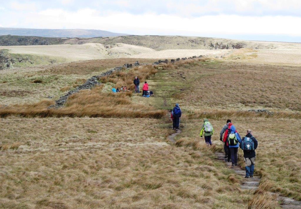
| along Open Rigg |
 |
| |
 |
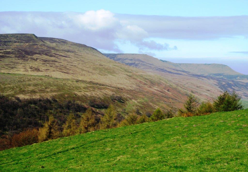
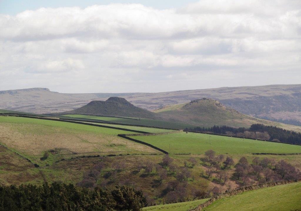
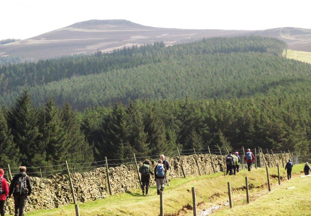
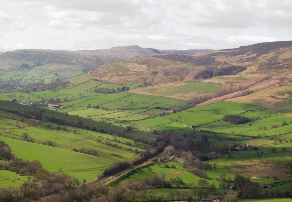
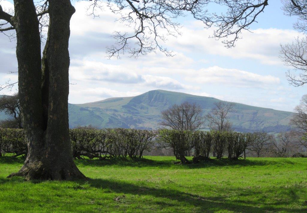
| Lose Hill to Mam Tor |
 |
| see enlargement below |
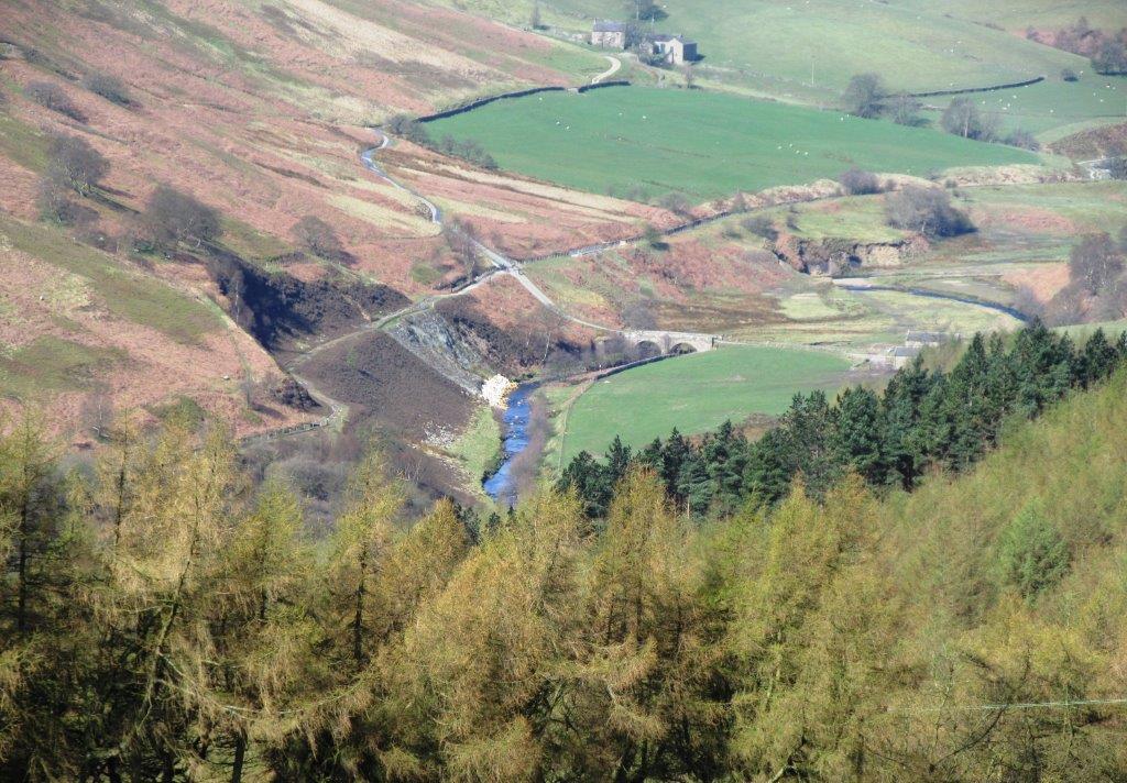 |
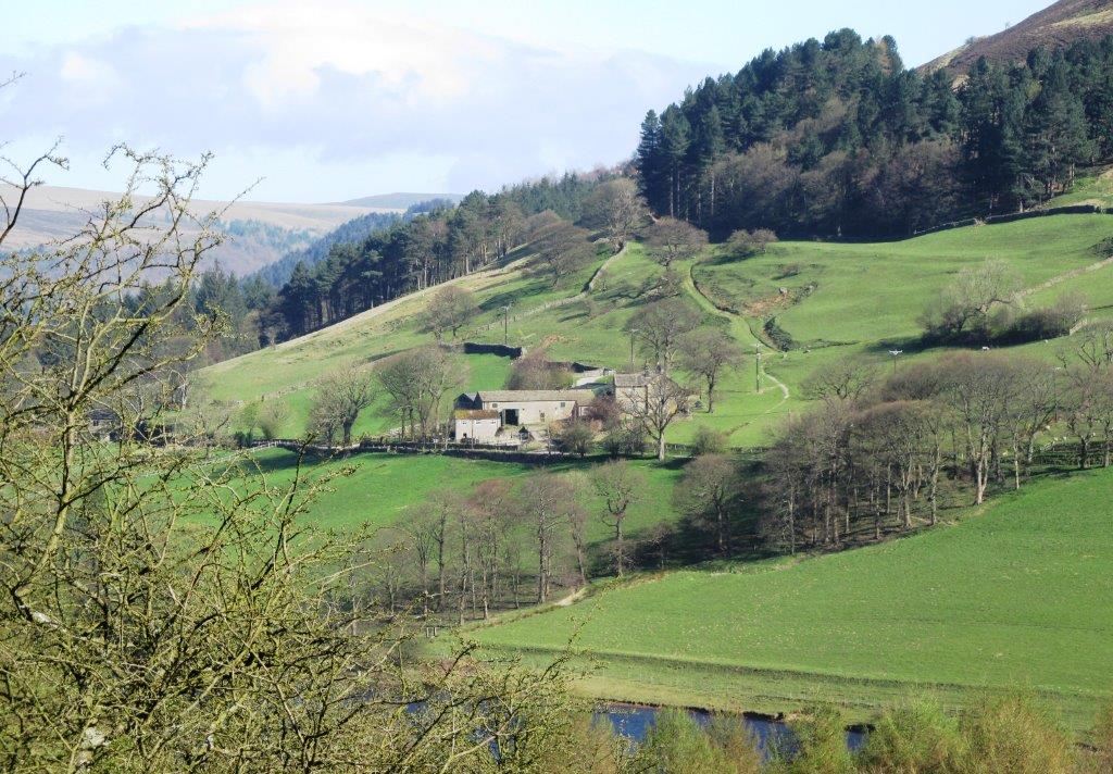
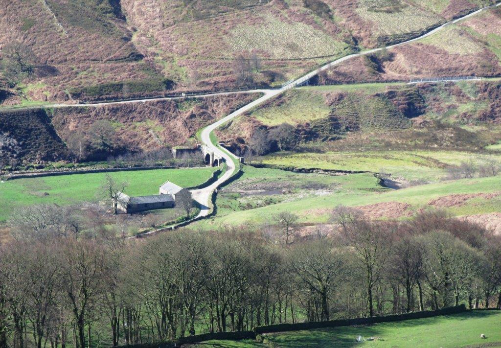
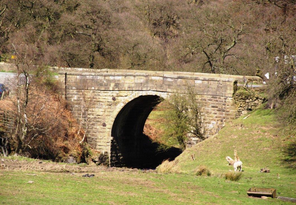
| Rowlee Bridge - Upper Ashop (farm house) |
 |
| |
 |
| |
 |
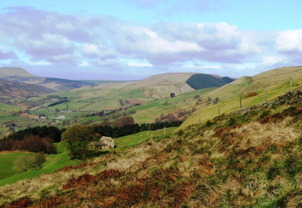
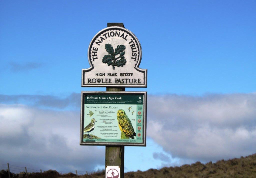
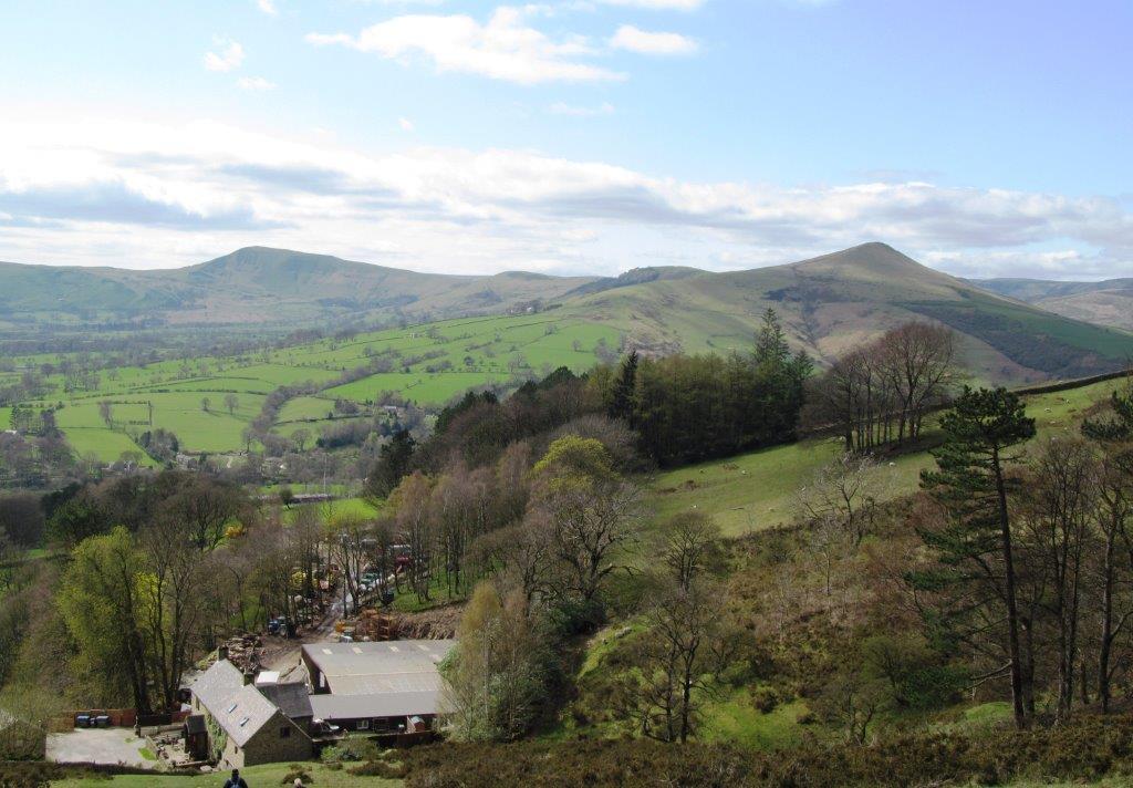
| views from Rowlee Pasture |
 |
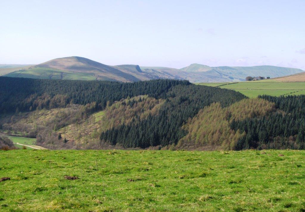
| Howden Reservoir (seen from high point on Rowlee Pasture)
|
 |
| looking down into Snake Pass |
 |
| another view of Rowlee Bridge |
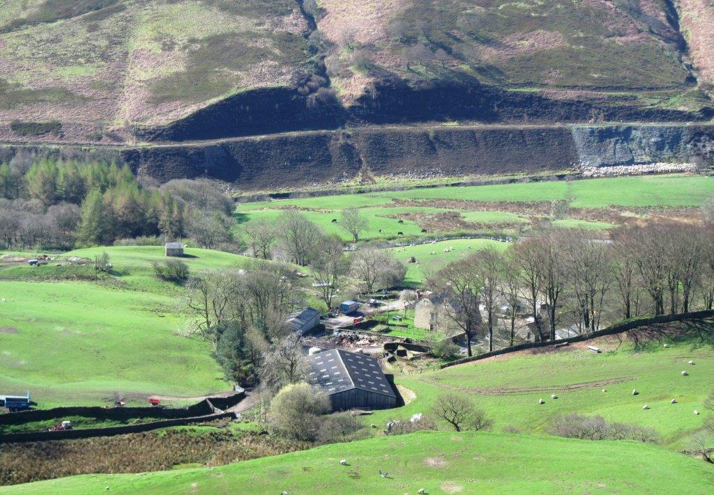 |
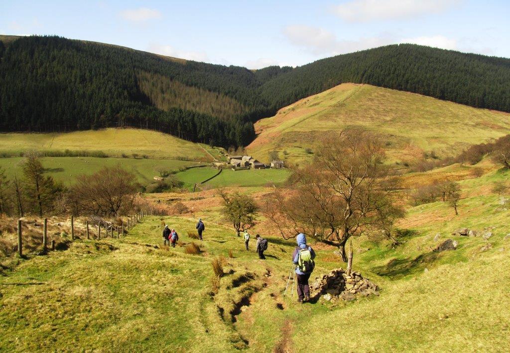
| Rowlee Farm |
 |
| Snake Pass |
 |
| |
 |
| |
 |
| Abbey Brook? |
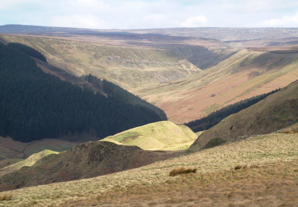 |
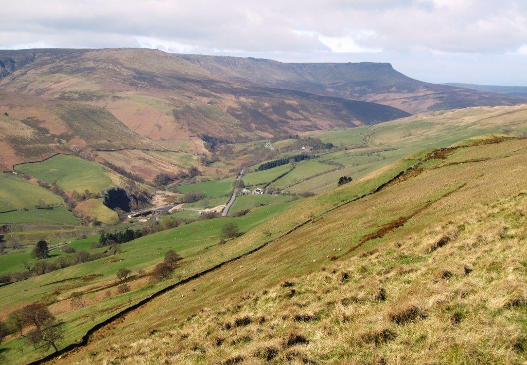
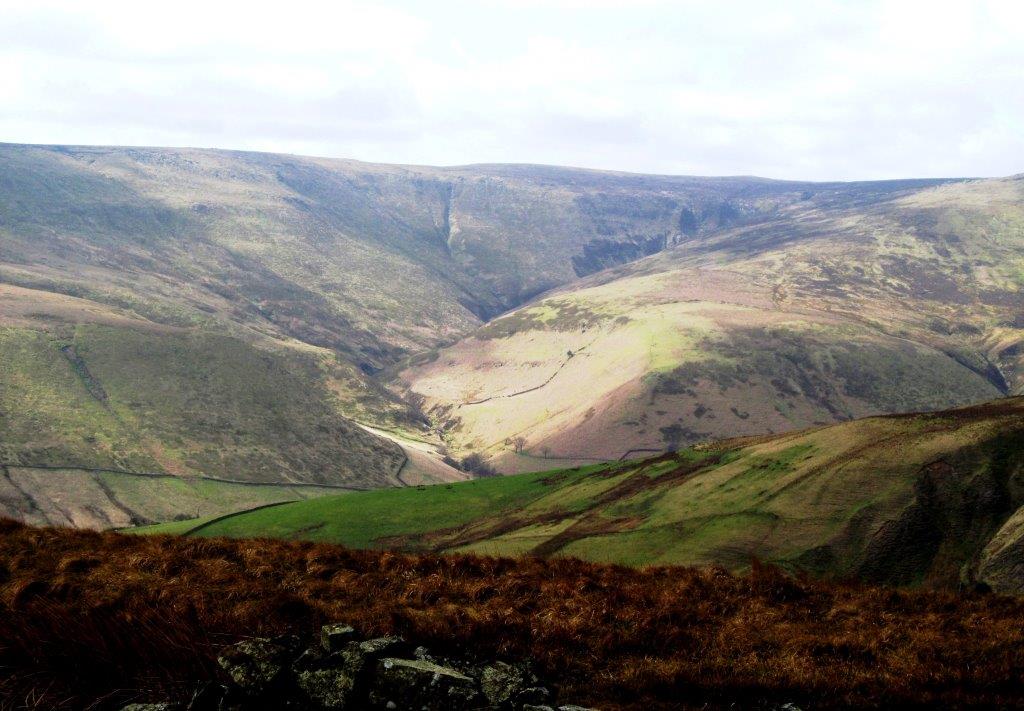
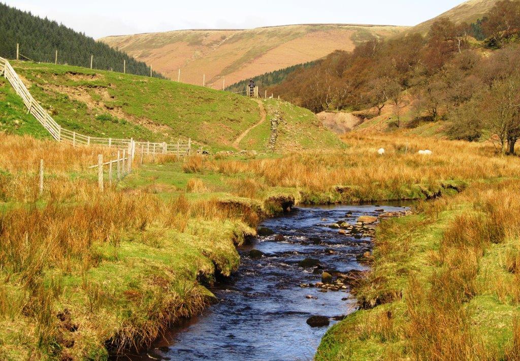
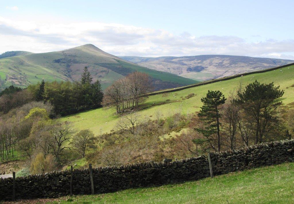
| valley in which River Alport runs |
 |
| |
 |
| |
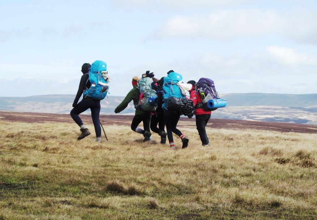 |
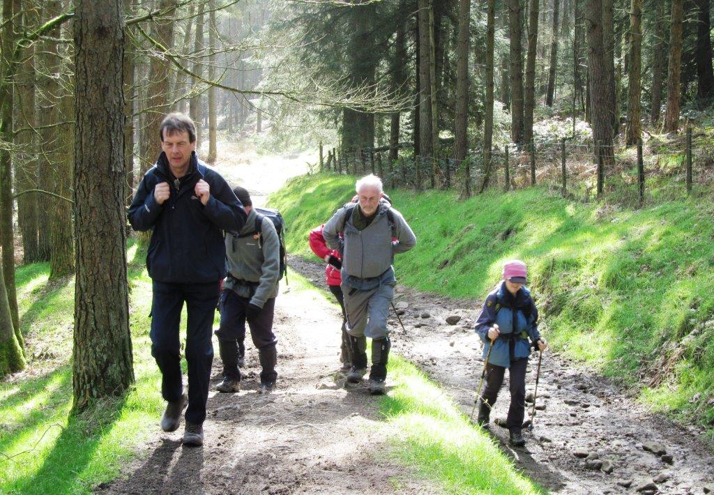
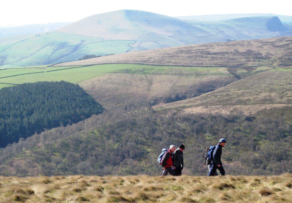
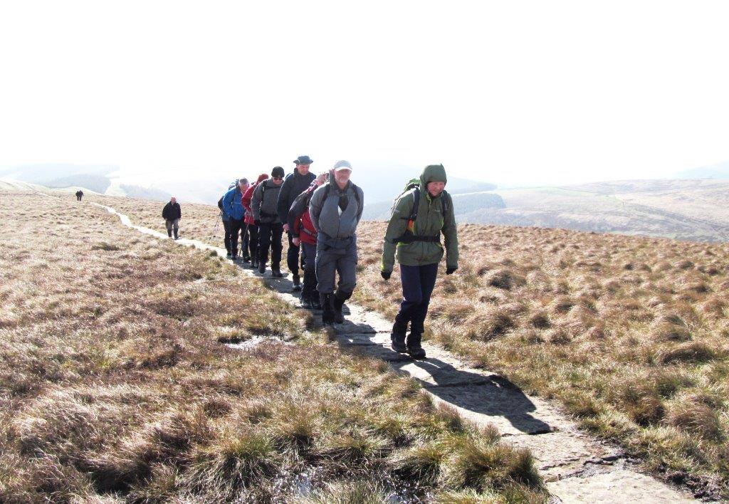
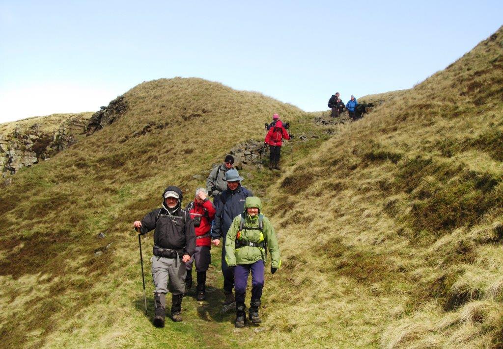
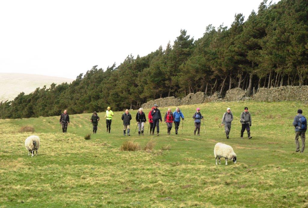
| youngsters on Duke of Edinburgh Award? |
 |
| Blackden Brook? |
 |
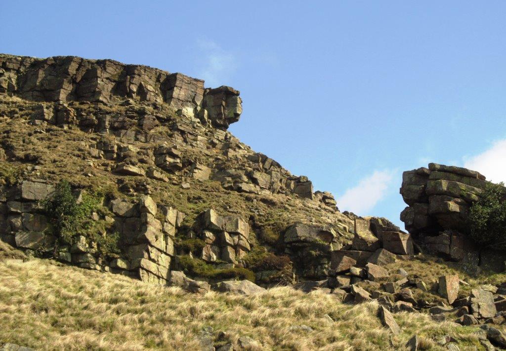
| The Tower? |
 |
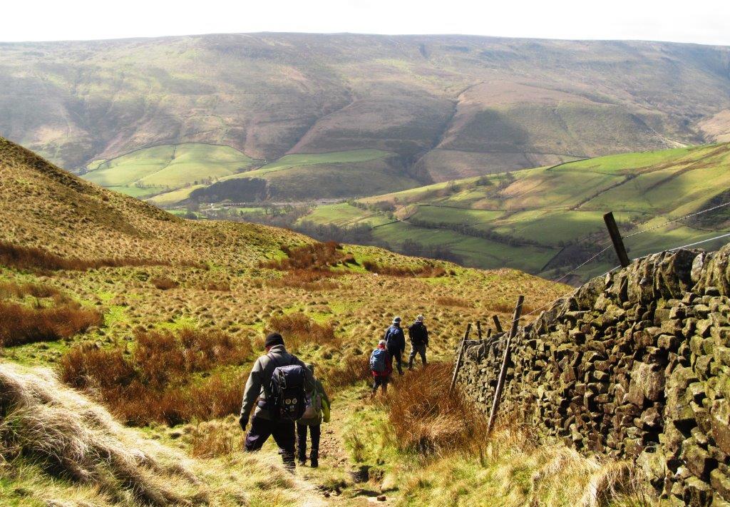
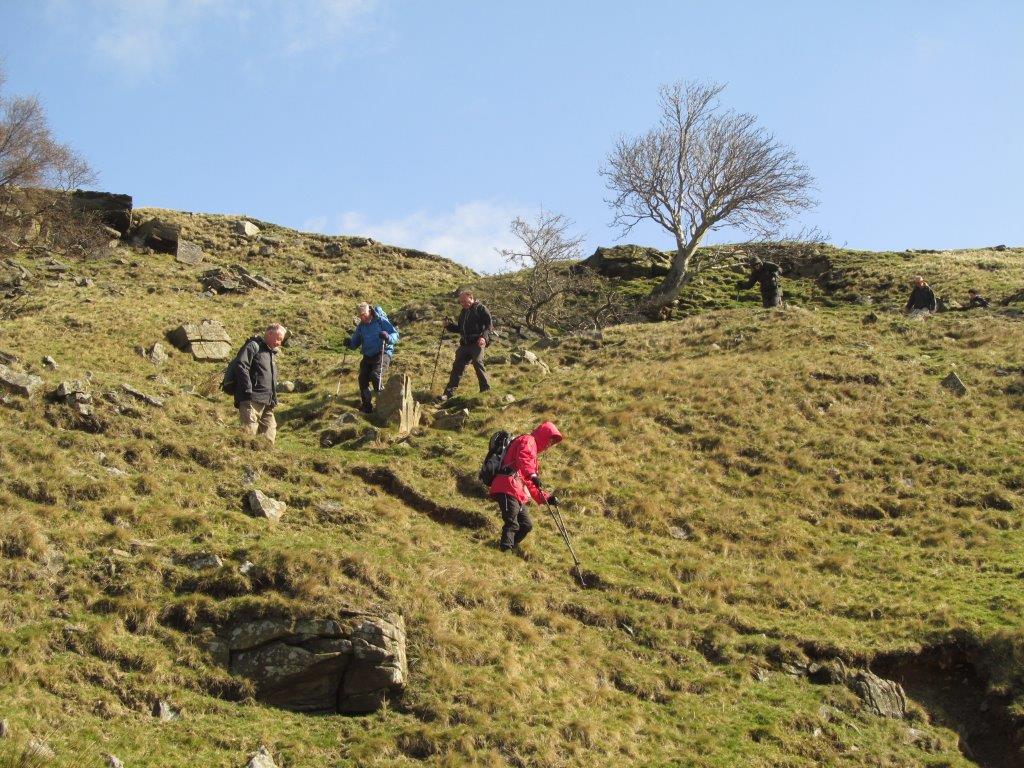
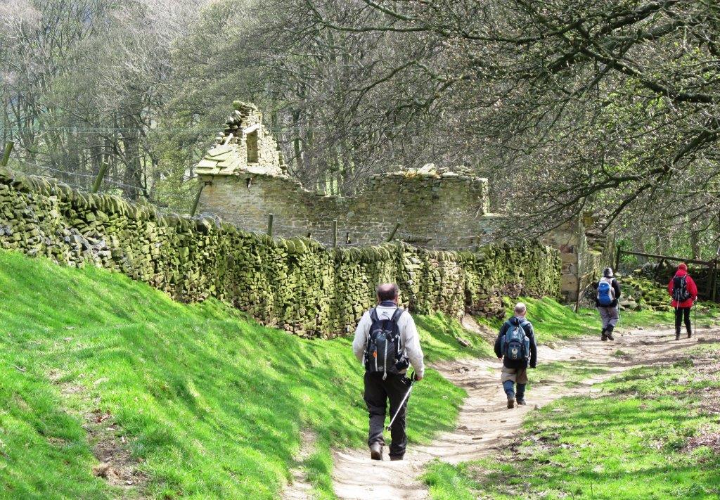
| descending towards Alport Farm |
 |
| |
 |
| |
 |
| |
 |
| |
 |
| |
 |
| |
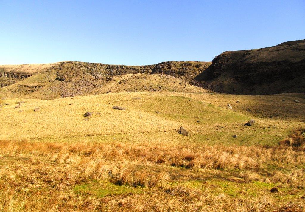 |
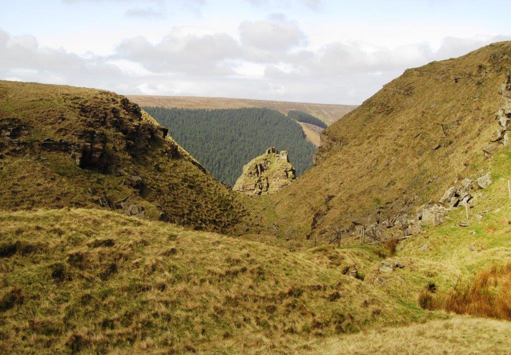
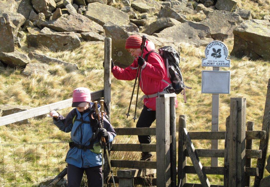
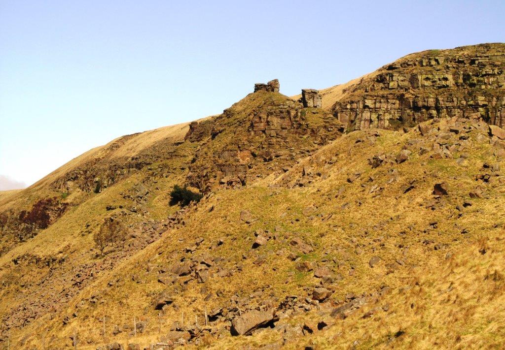
| Alport Castles? |
 |
| |
 |
| |
 |
| |
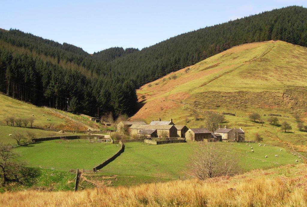 |
| Alport Farm |
 |
| |
 |
| |
 |
| |
 |
| |
 |
| |
 |
| |
 |
| |
 |
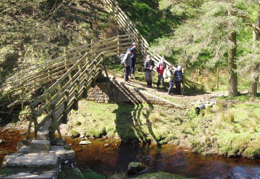
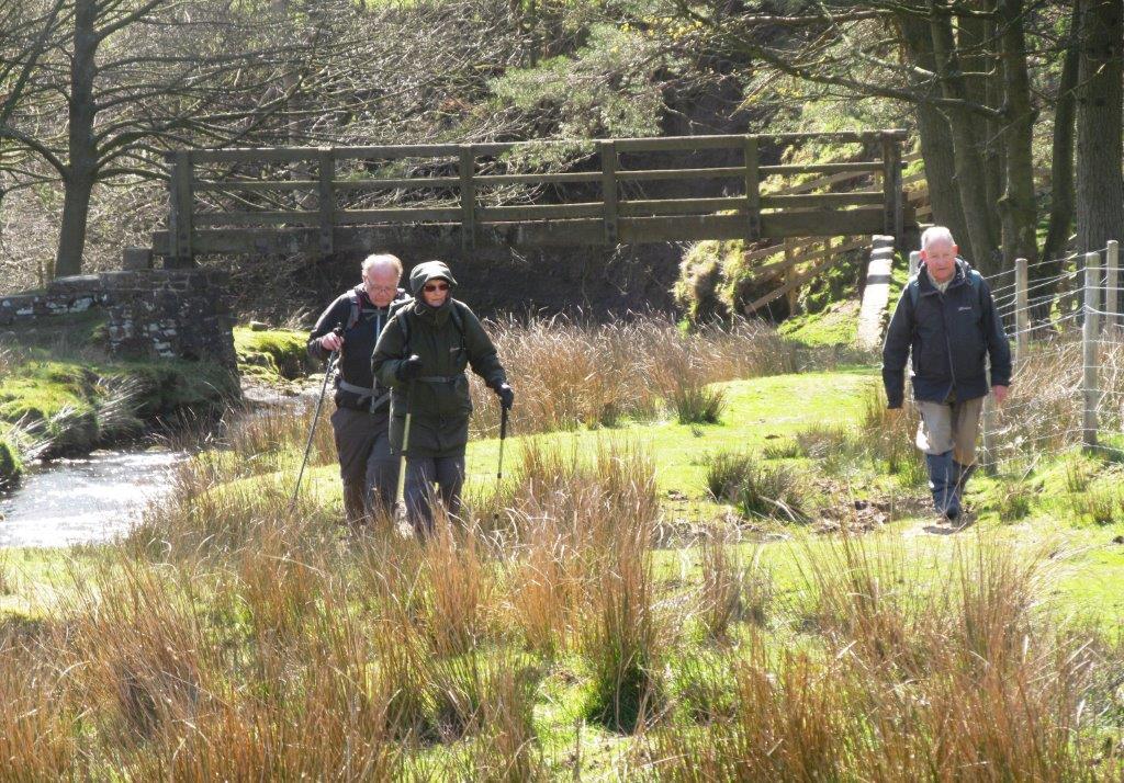
| towards Alport Bridge |
 |
| |
 |
| |
 |
| |
 |
| |
 |
| |
 |
| |
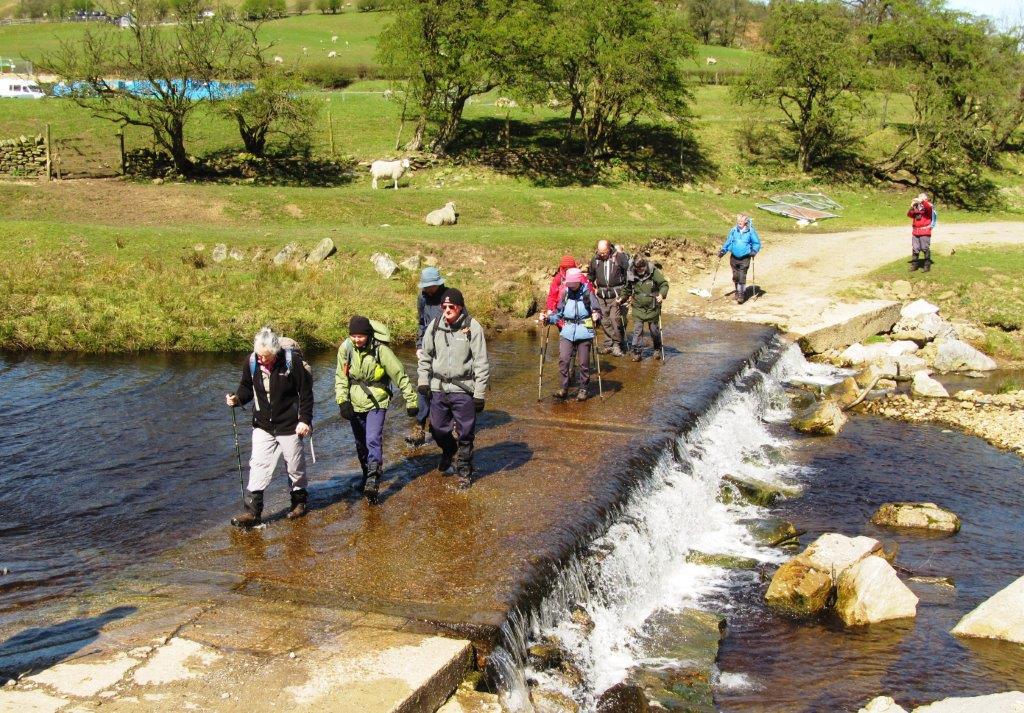 |
| weir across River Ashop |
 |
| Alport Bridge |
 |
| upwards towards Hope Cross |
 |
| |
 |
| |
 |
| Crook Hill (on right) |
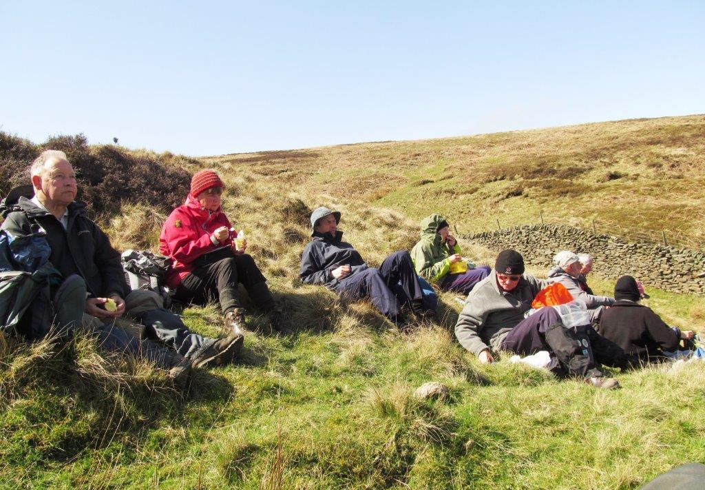 |
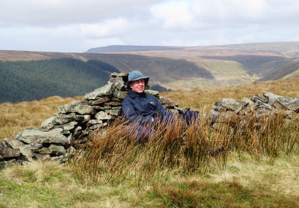
| lunch at Blackley Clough |
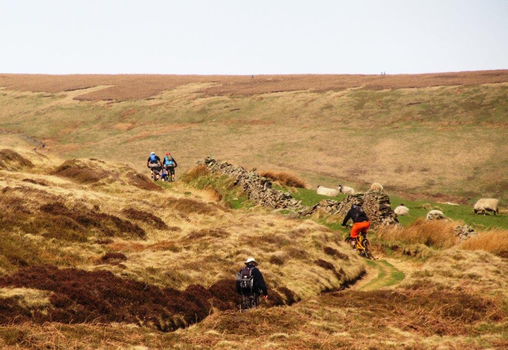 |
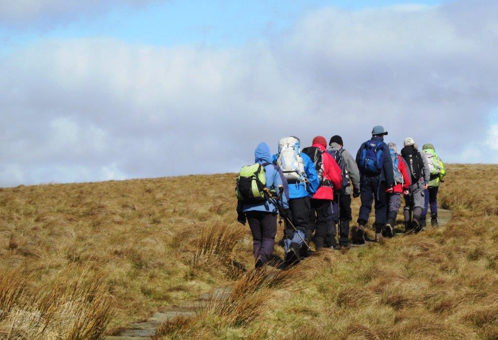
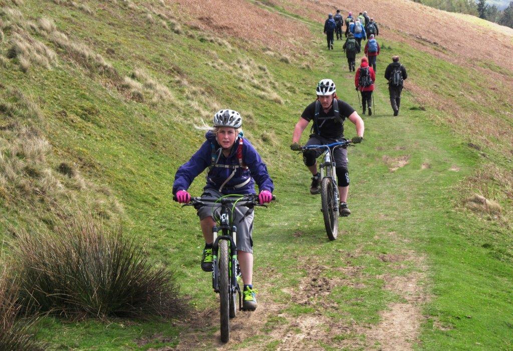
| mountain bikers |
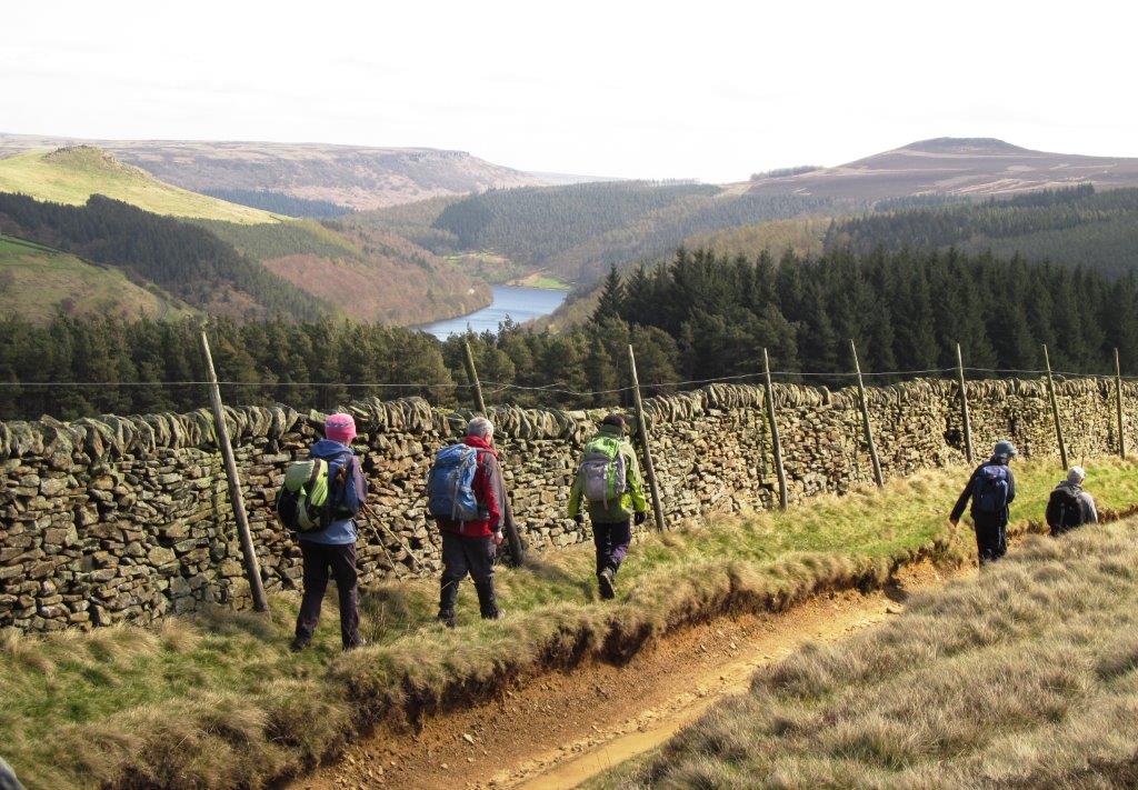 |
| southern arm Ladybower Reservoir, Winhill Pike top right
|
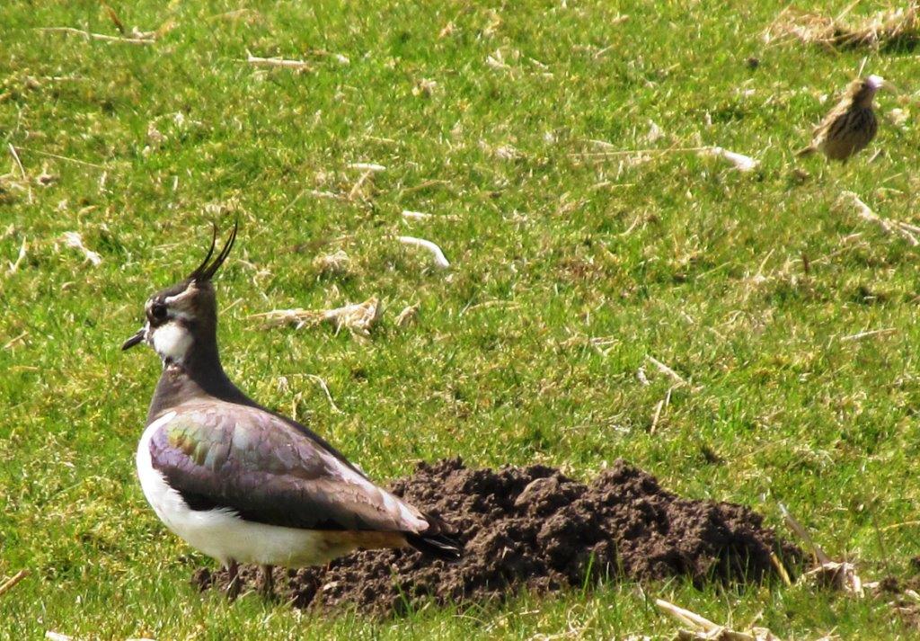 |
| Lapwing |
 |
| Winhill Pike above left |
 |
| Lose Hill to Mam Tor |
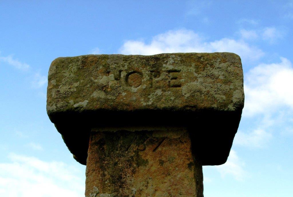 |
| Hope Cross erected 1737 |
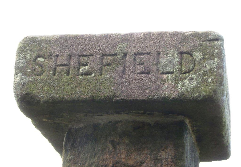 |
| spelling? |
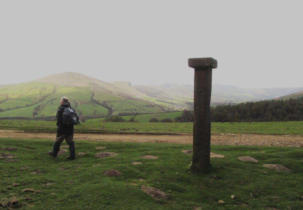 |
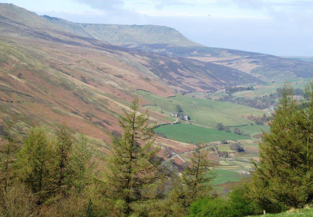
| Winhill & Hope Cross |
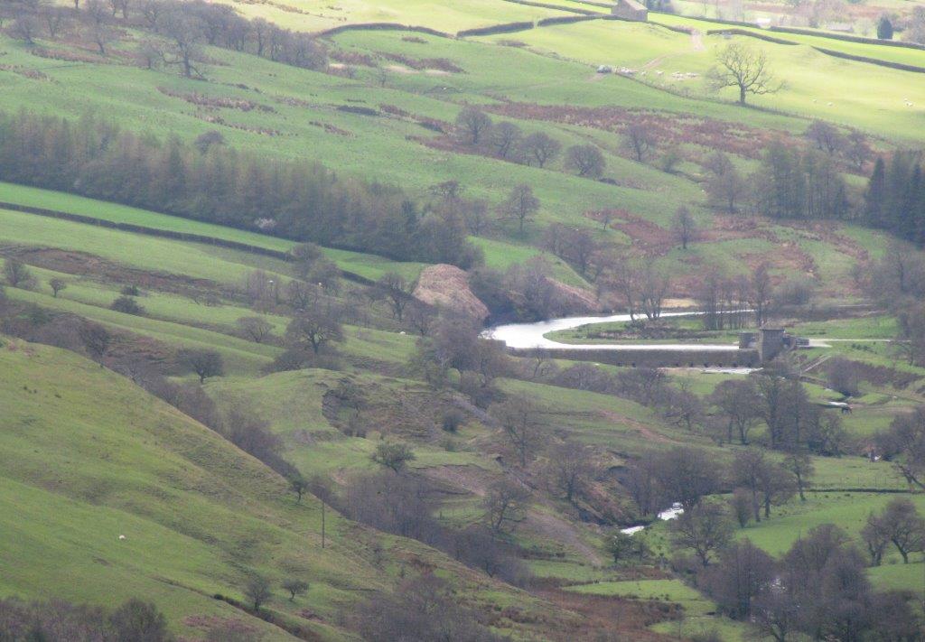 |
| Reservoir? on River Noe in Edale Valley |
 |
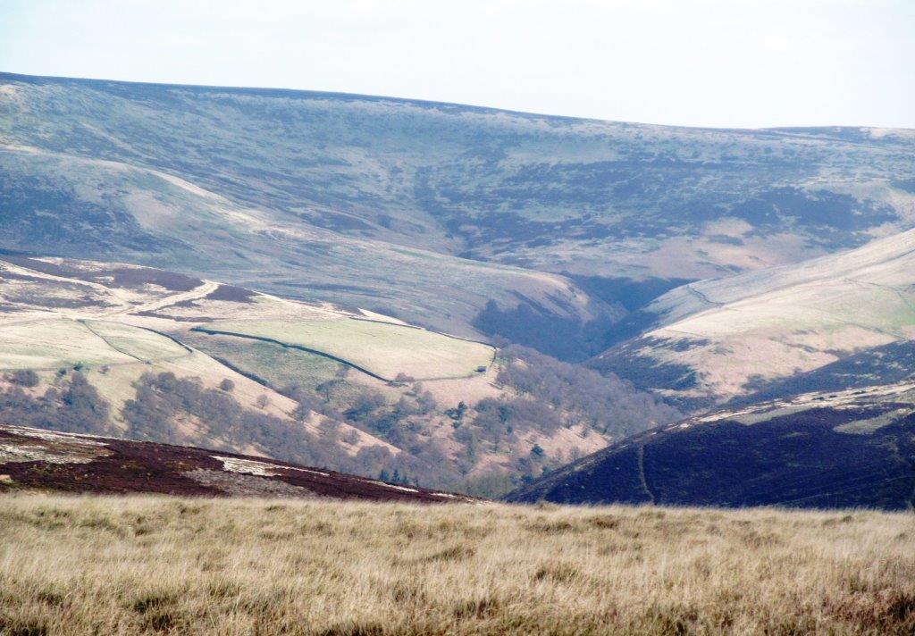
| Jaggers Clough? behind |
 |
| |
 |
| |
 |
| Winhill Pike |
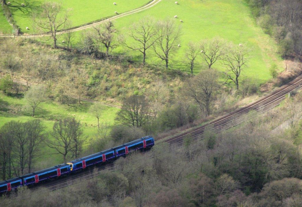 |
| train towards Edale |
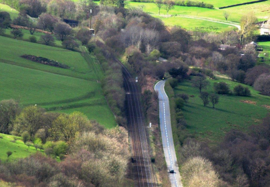 |
| routes to Edale |
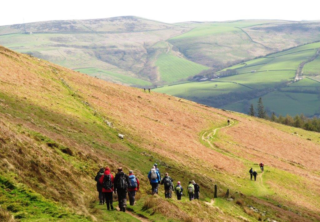 |
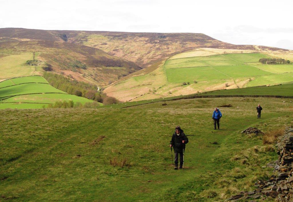
| down towards Aston |
 |
| |
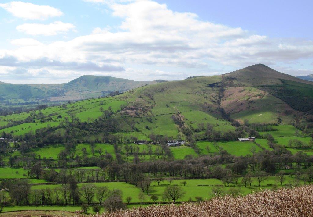 |
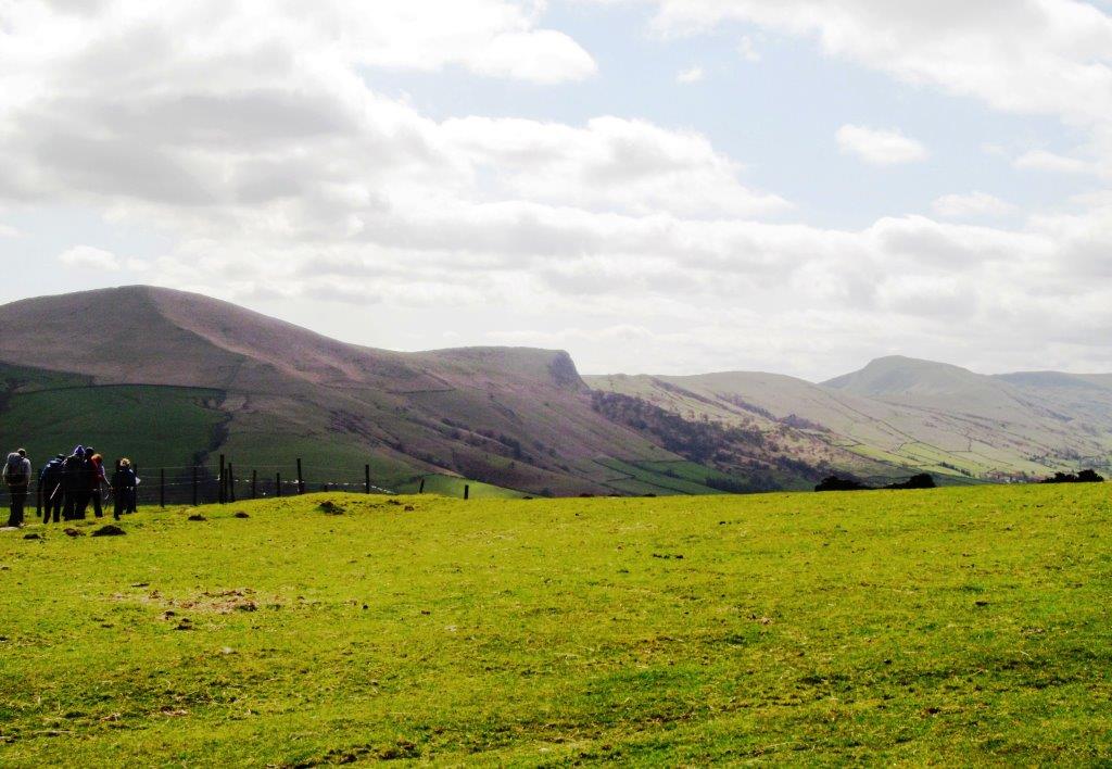
| Mam Tor - Lose Hill |
 |
| |
 |
| |
 |
| passed above Twitchell Farm |
 |
| Lose Hill |
 |
| |
 |
| |
 |
| |
 |
| |
 |
| |
 |
| |
 |
| |
 |
| Mam Tor |
 |
| |
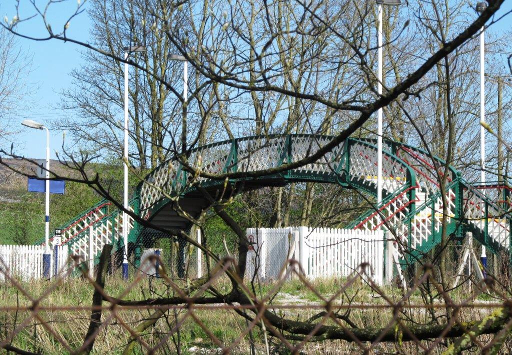 |
| Hope Railway Station |
 |
| Lose Hill |
homepage - Day Walks
Index 2014 - contact me at