homepage - Day Walks
Index 2014 - contact me at

2014.02.16 ** Millers Dale, Downstream along River Wye, Litton
Mill, track flooded diverted under Cressbrook Hall, on lanes to Litton
(village), Church Lane to Tideswell, on lanes back to Millers Dale
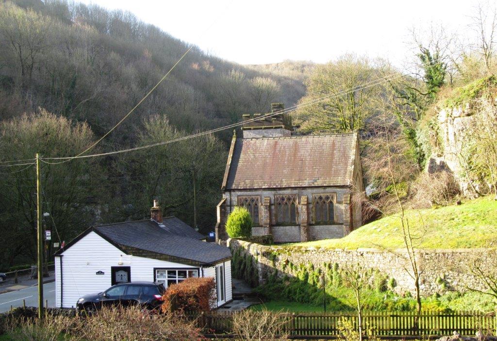 |
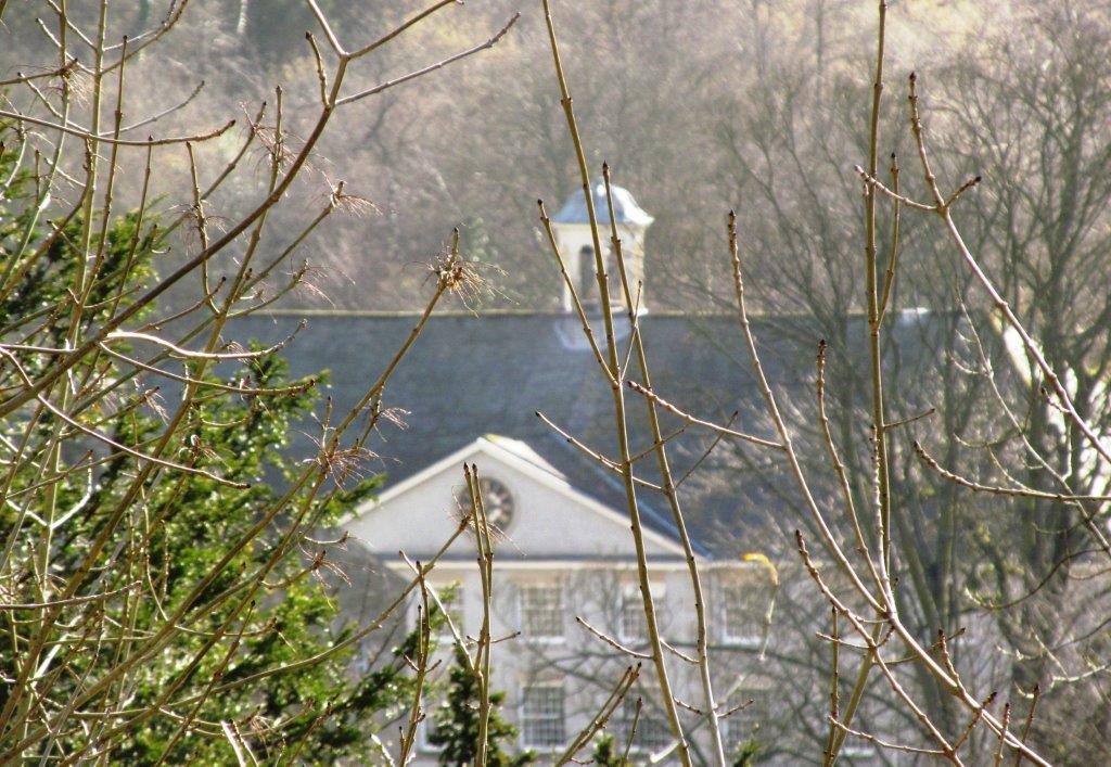
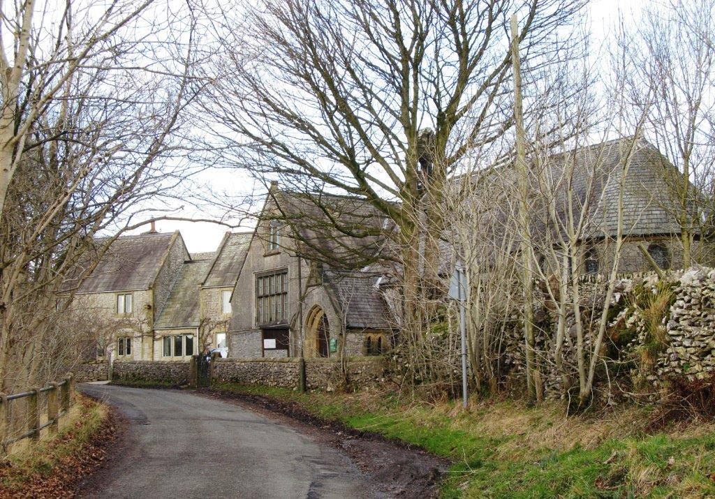
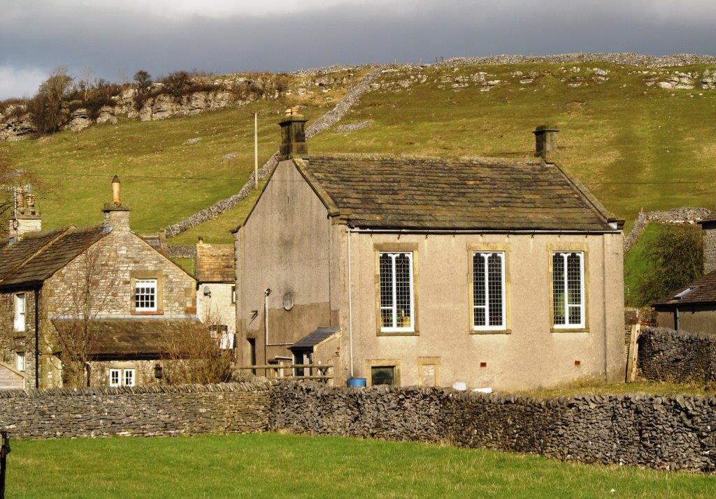
| Millers Dale Church |
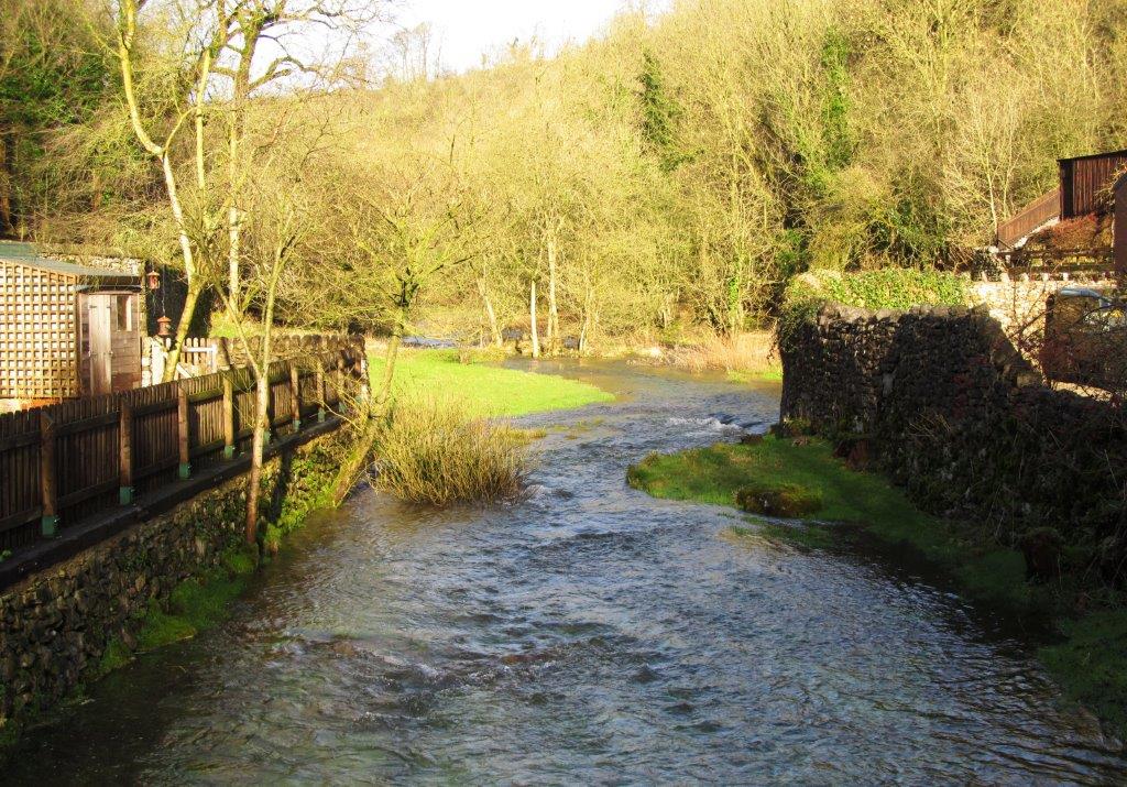 |
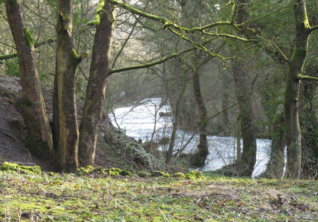
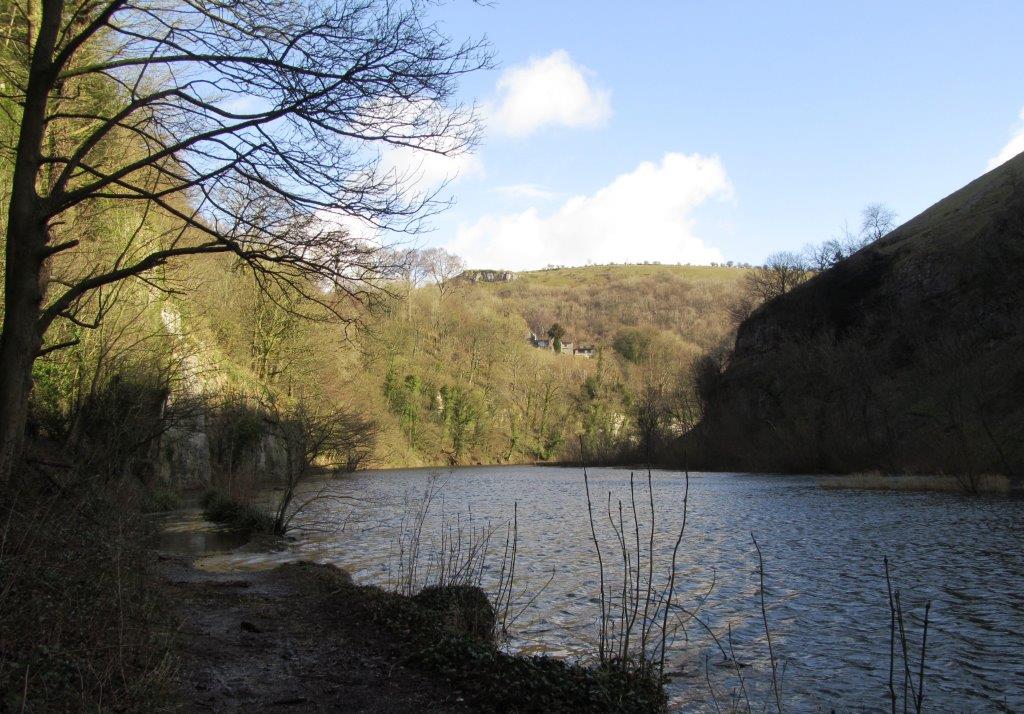
| Monks Dale in spate |
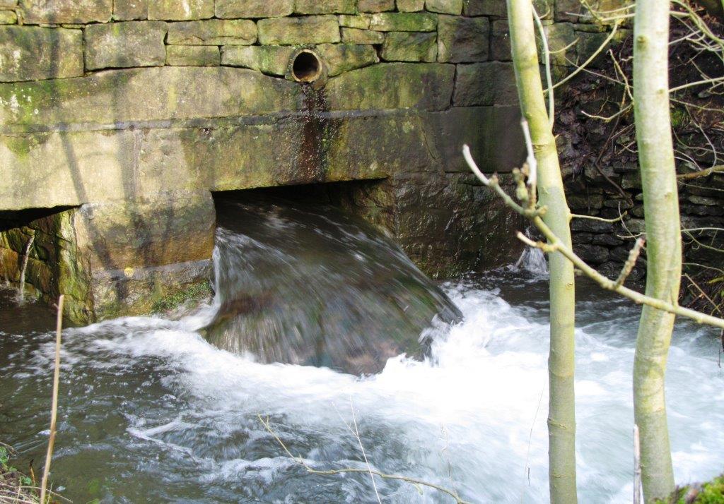 |
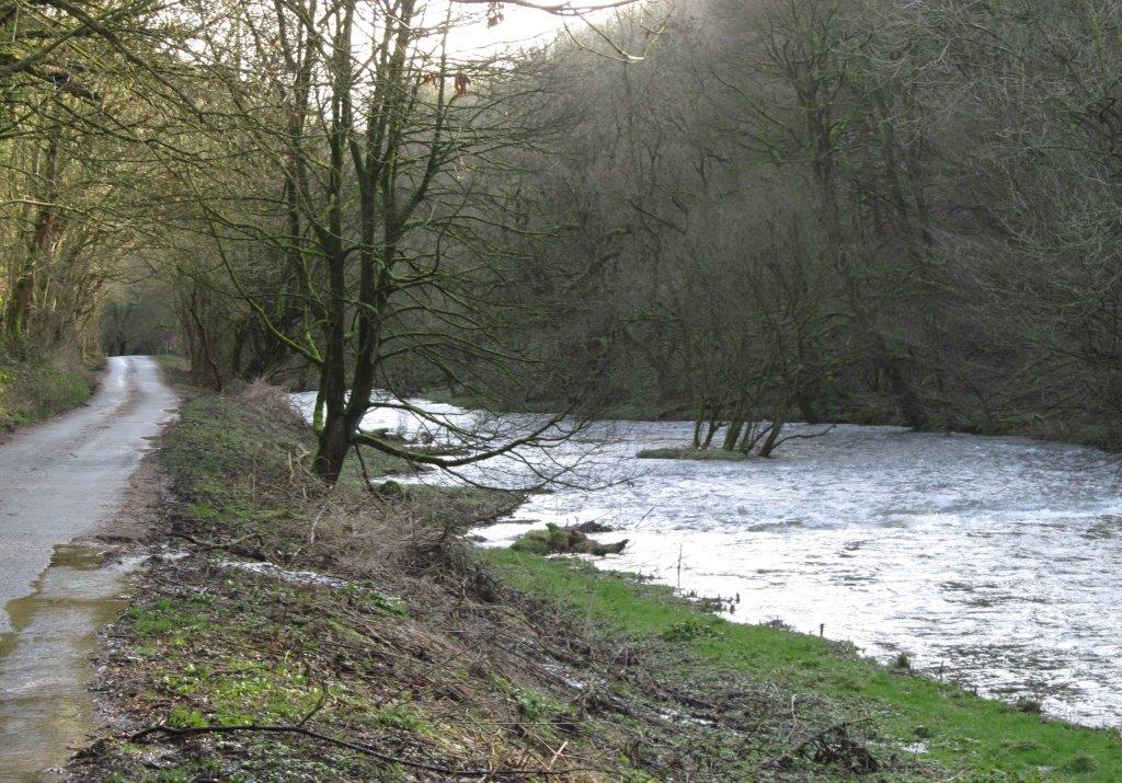
| water from Monks Dale crossing under road |
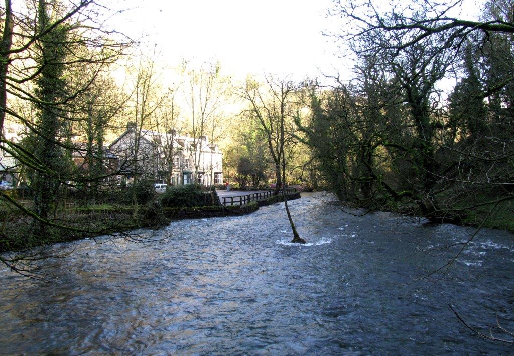 |
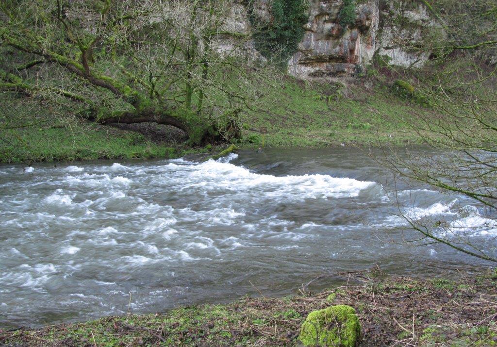
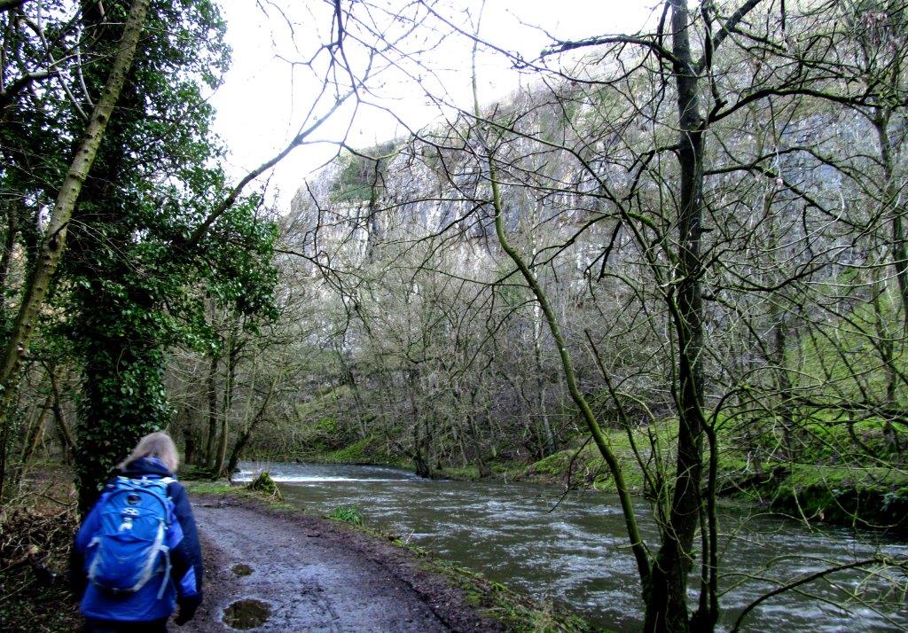
| view of River Wye from pedestrian bridge leading up to Monsal
Trail (not taken). |
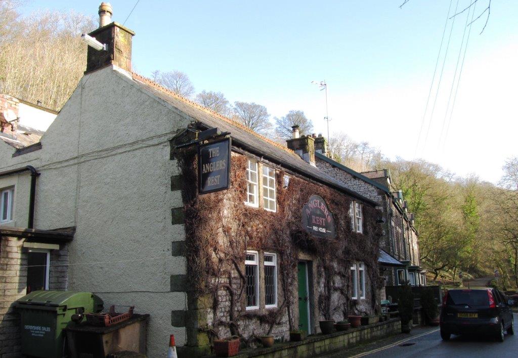 |
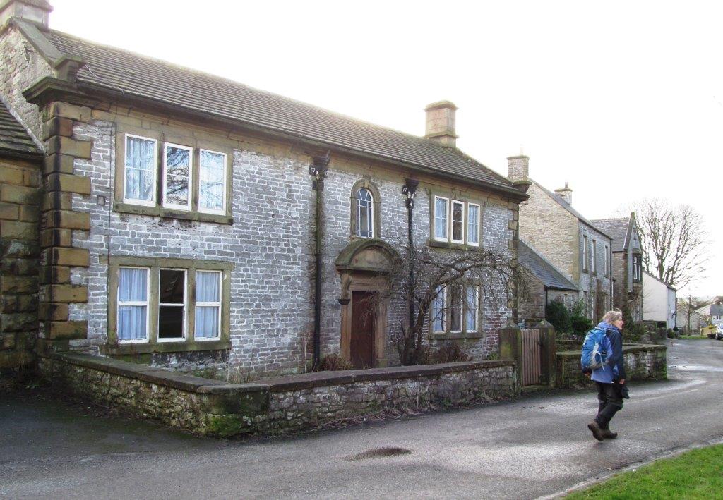
| The Anglers Rest |
 |
| |
 |
| |
 |
| |
 |
| |
 |
| |
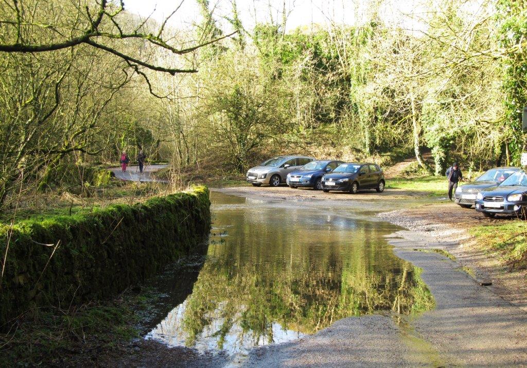 |
| road to Ltton Mill flooded but passable |
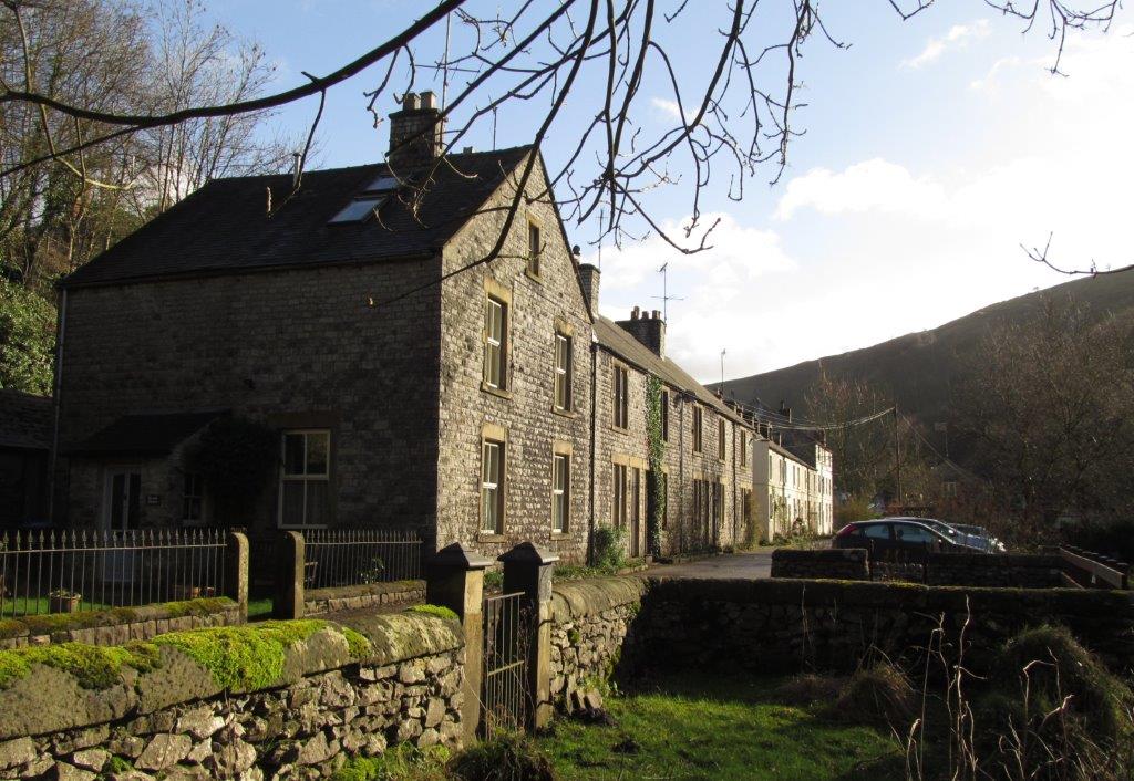 |
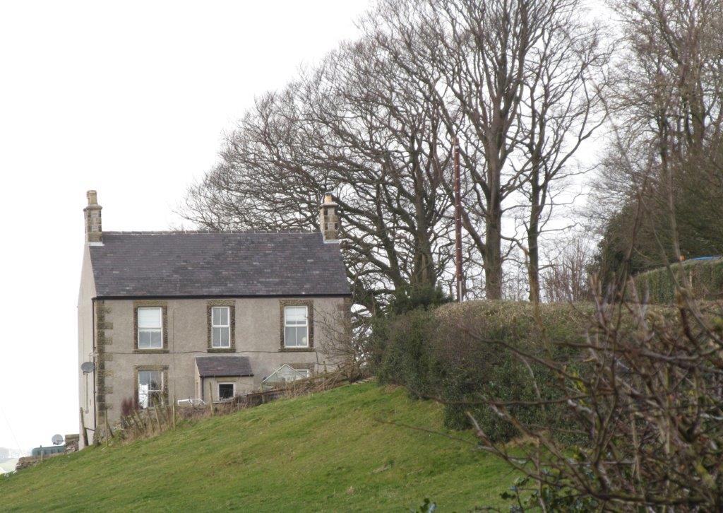
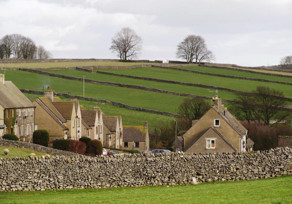
| houses before Litton Mill |
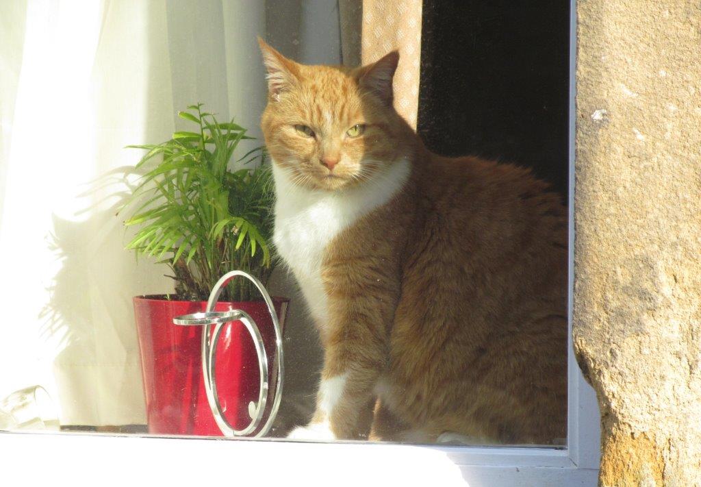 |
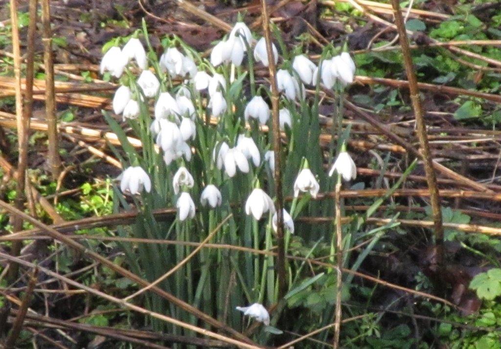
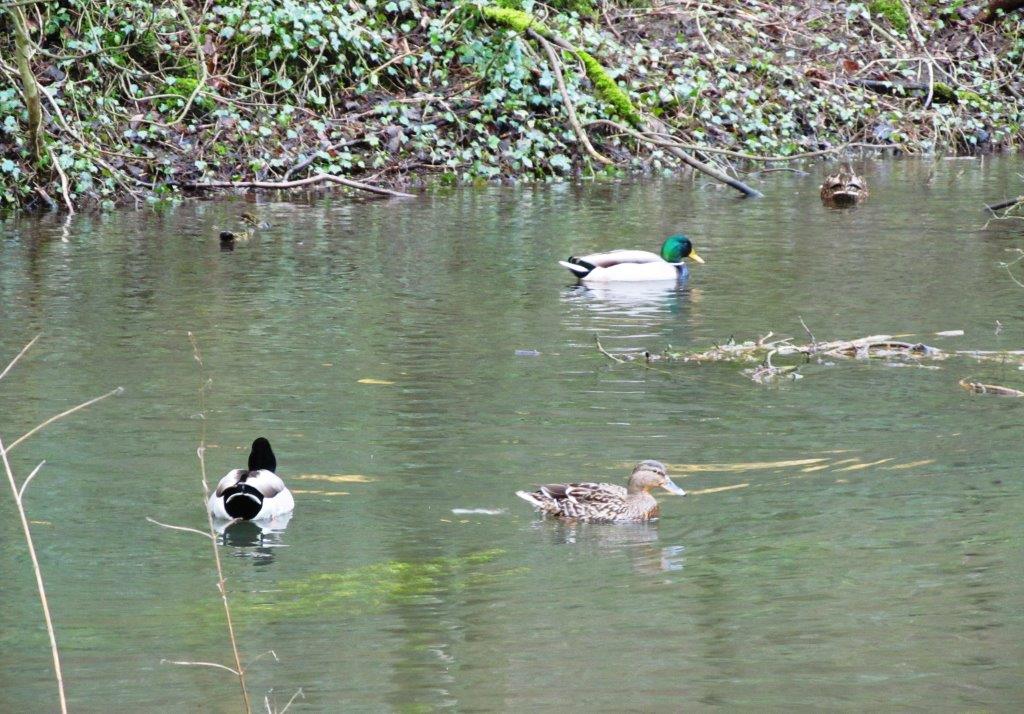
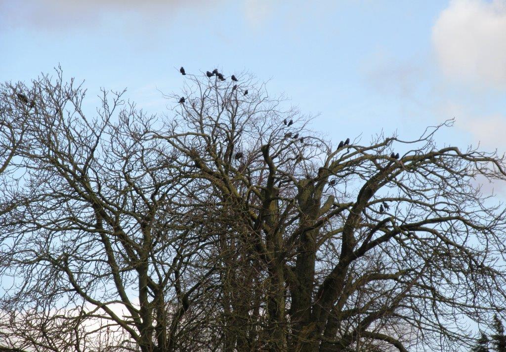
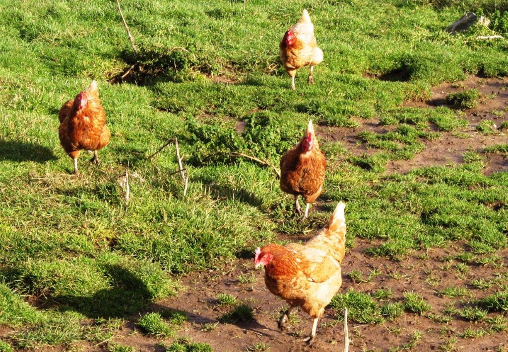
| contented inhabitant |
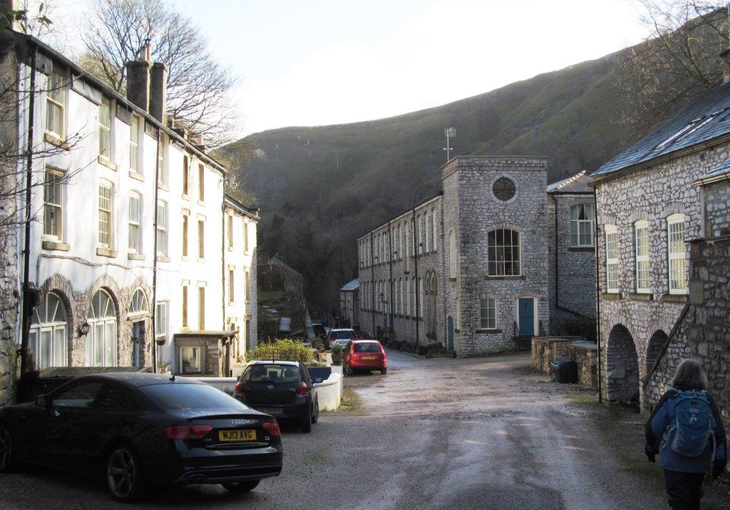 |
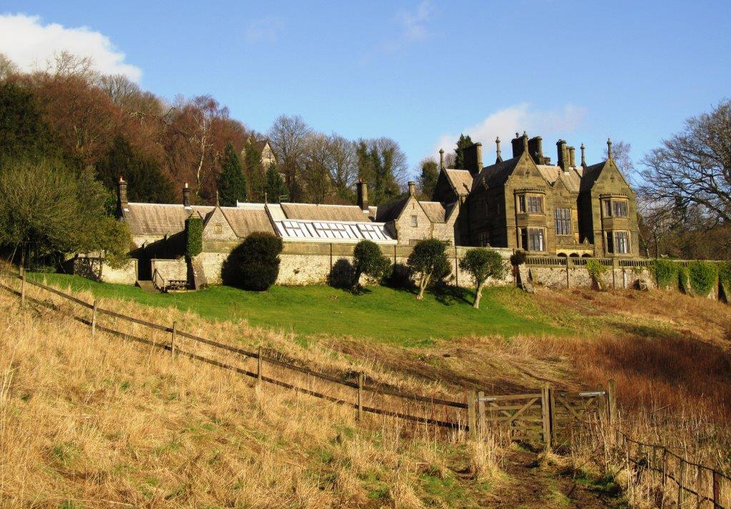
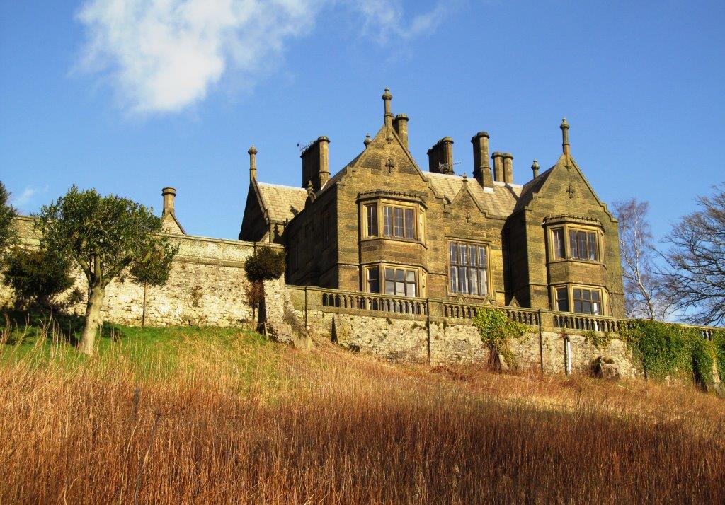
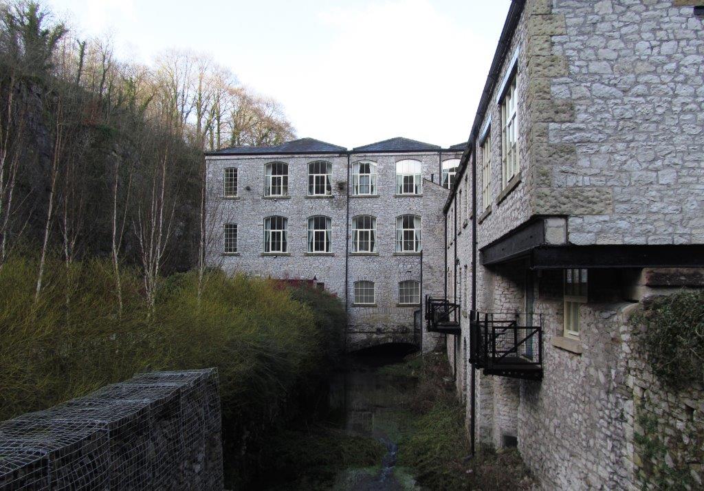
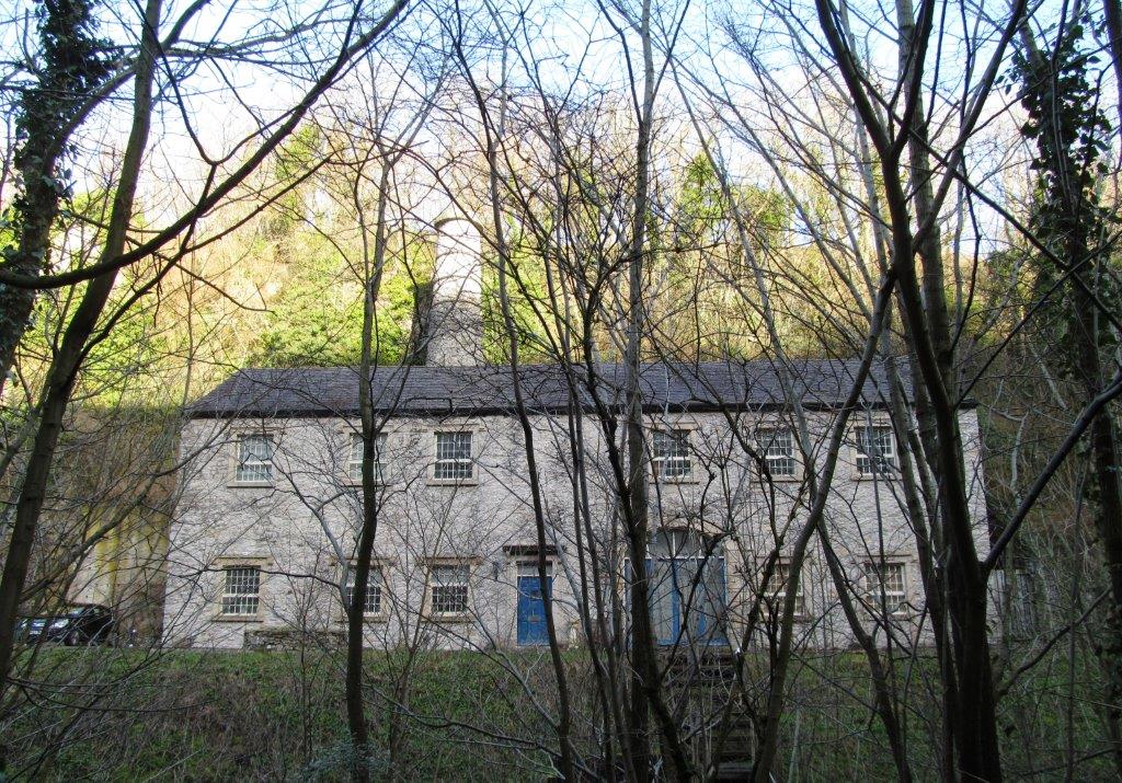
| Litton Mill on right now converted into
apartments |
 |
| leaking riveted pipe presumably relic from the
MIll |
 |
| |
 |
| |
 |
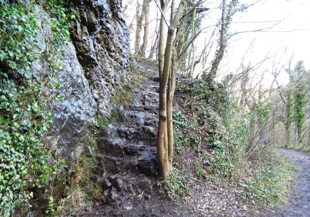
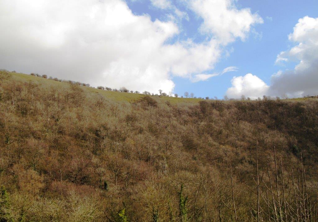
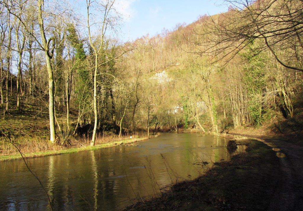
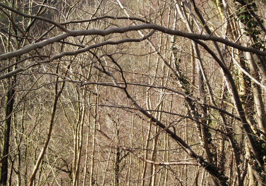
| Monsal Trail probably in a tunnel through rock
cliffs on right? |
 |
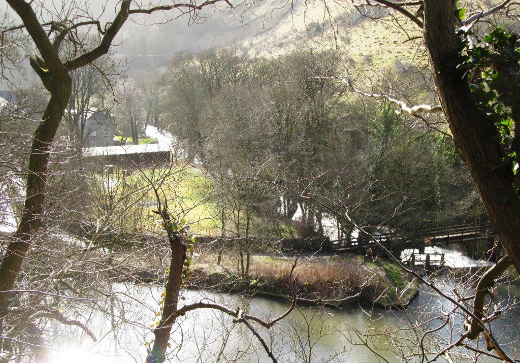
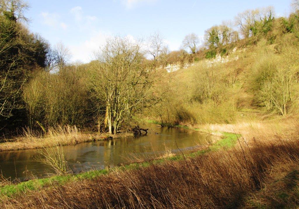
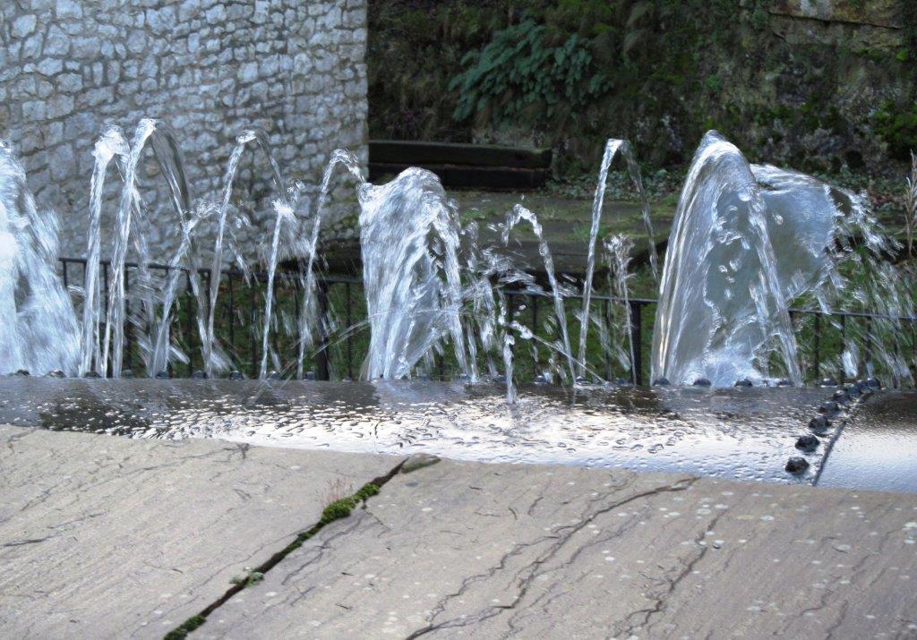
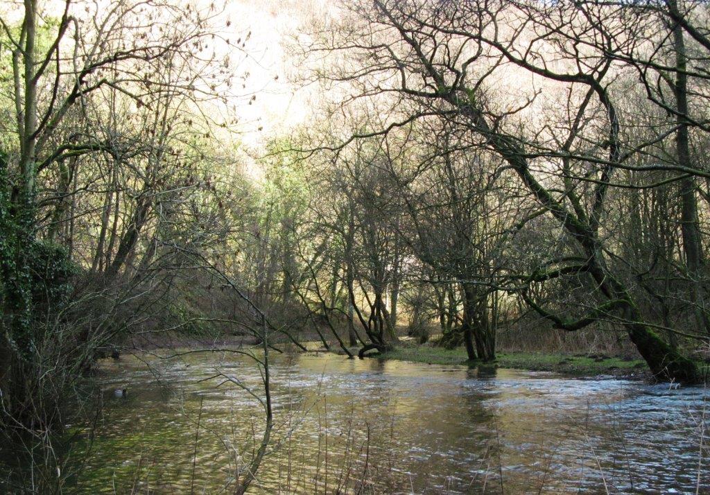
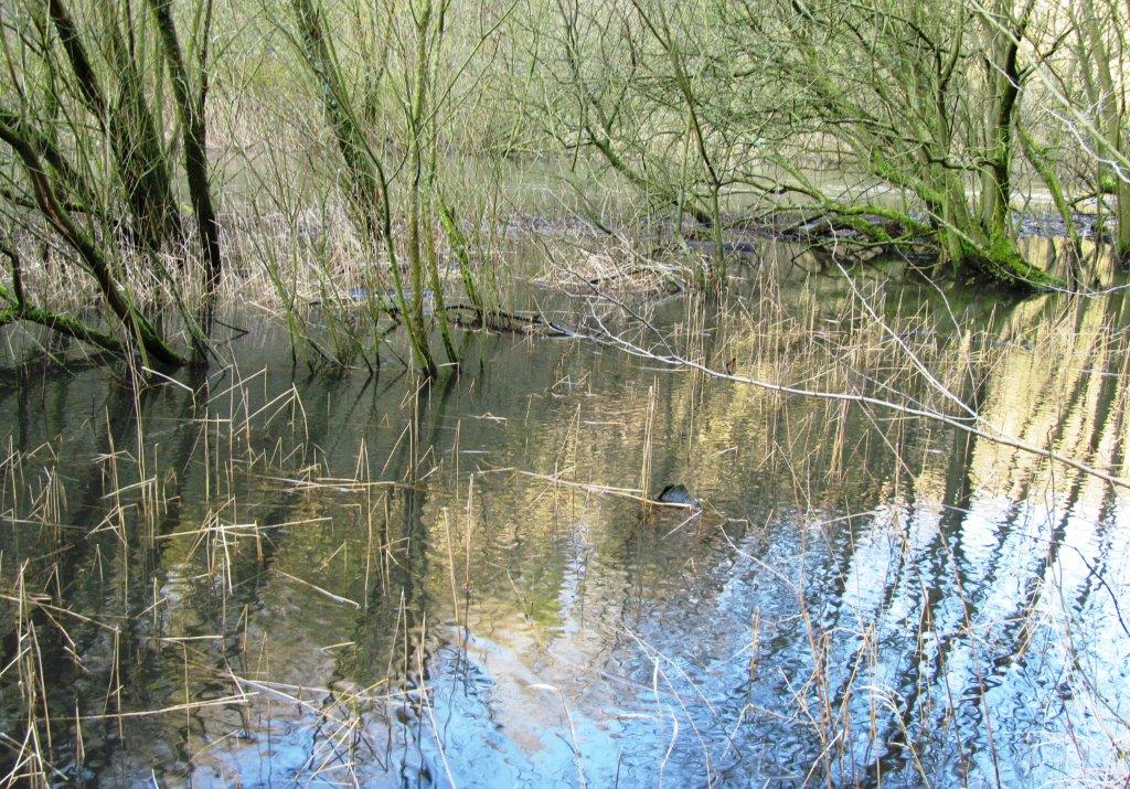
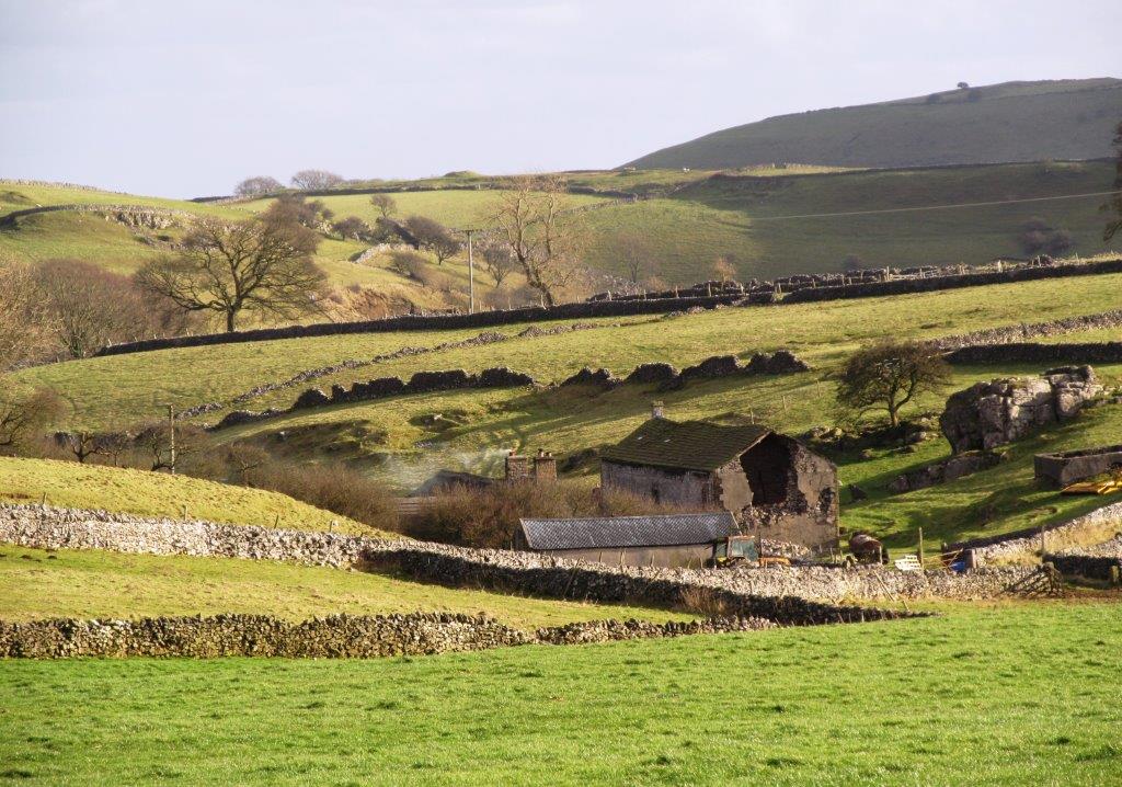
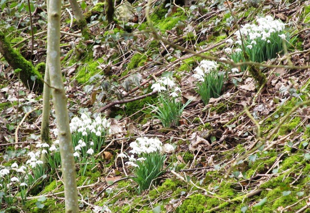
| a backwater |
 |
| |
 |
| |
 |
| |
 |
 |
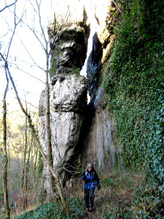
| an unofficial diversion under cliffs to bypass
flooded path alongside river (not for the faint hearted) |
 |
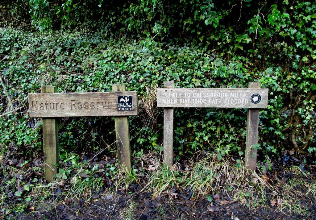
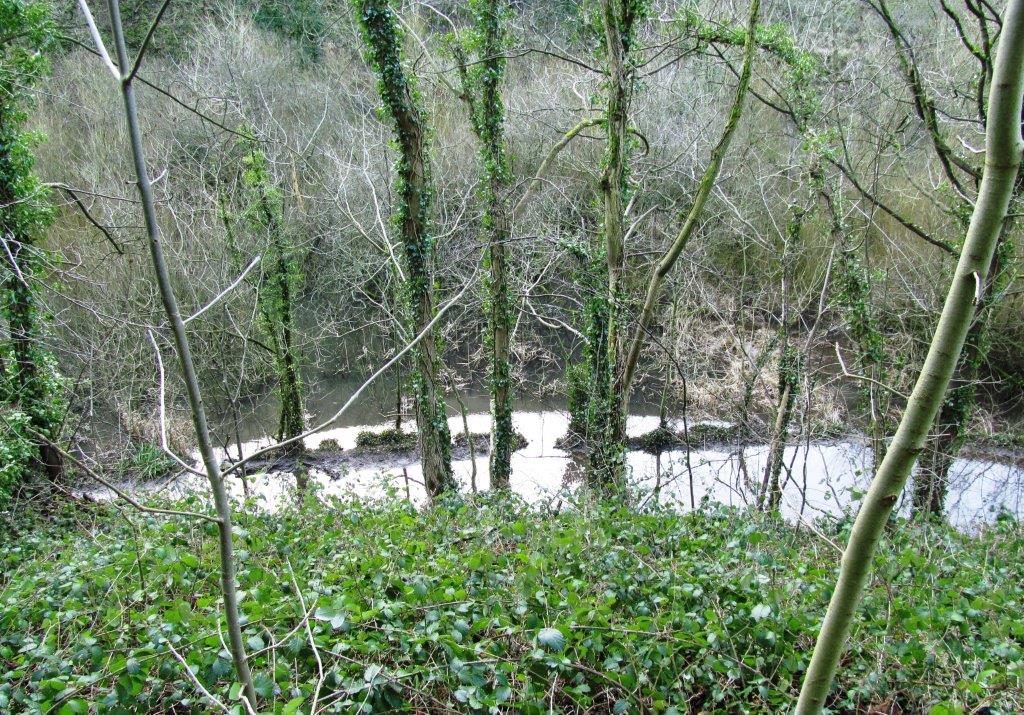
| main path again flooded - access to Cressbrook
Mill not possible |
 |
| |
 |
| on lanes toward Litton village |
 |
| |
 |
| |
 |
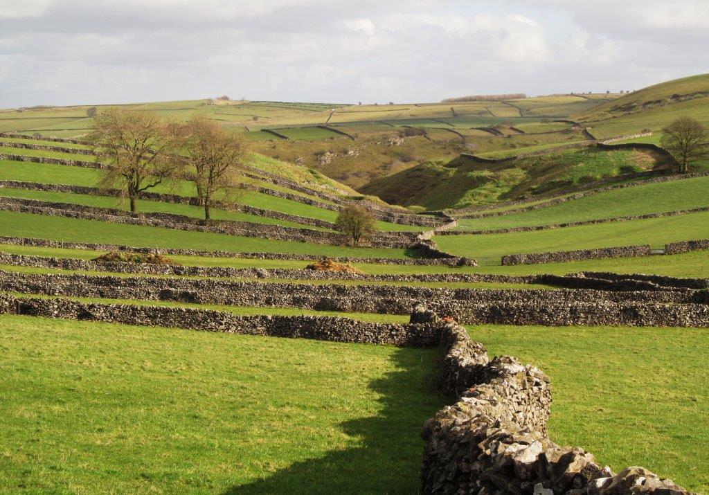
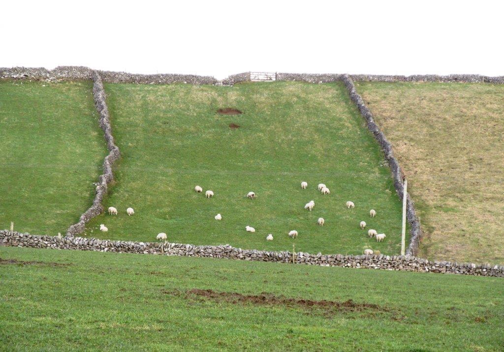
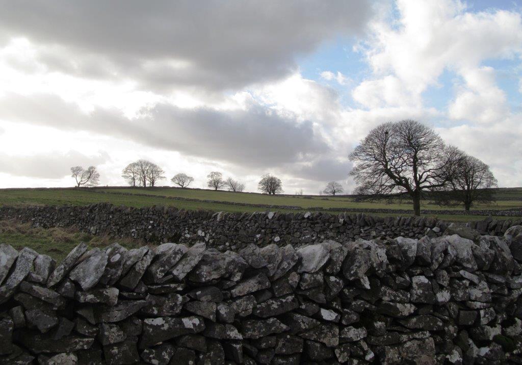
| Littonslack? |
 |
| |
 |
| |
 |
| |
 |
| |
 |
| |
 |
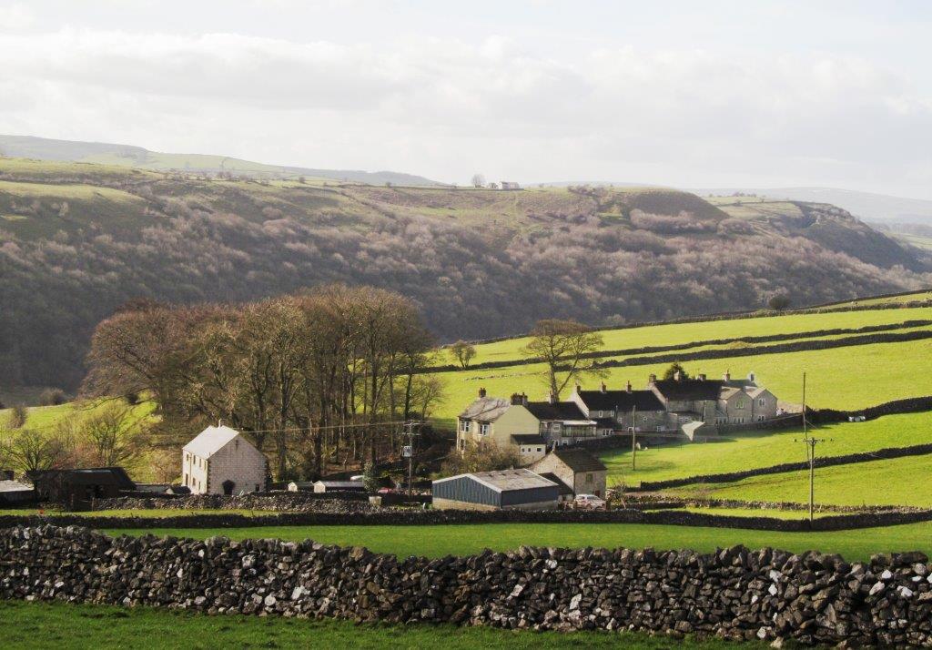
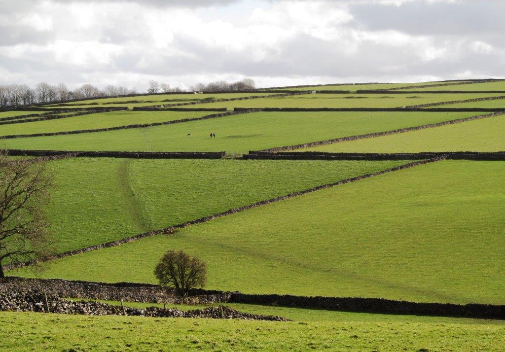
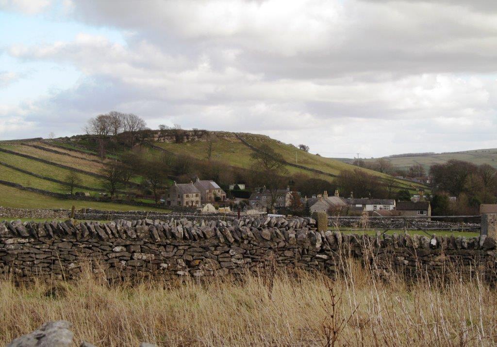
| Litton |
 |
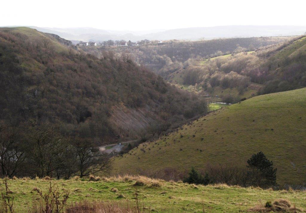
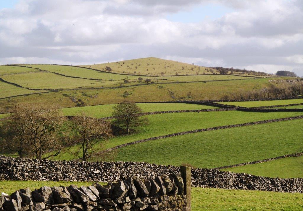
| Tansley Dale leading into Cressbrook Dale |
 |
| |
 |
| |
 |
| |
 |
| |
 |
| |
 |
| |
 |
| |
 |
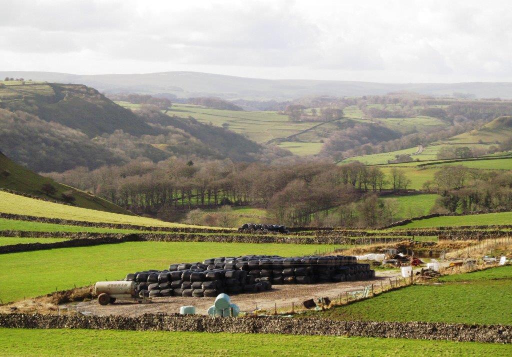
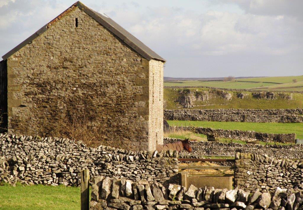
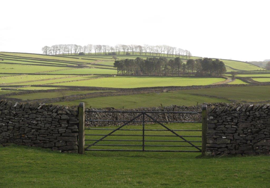
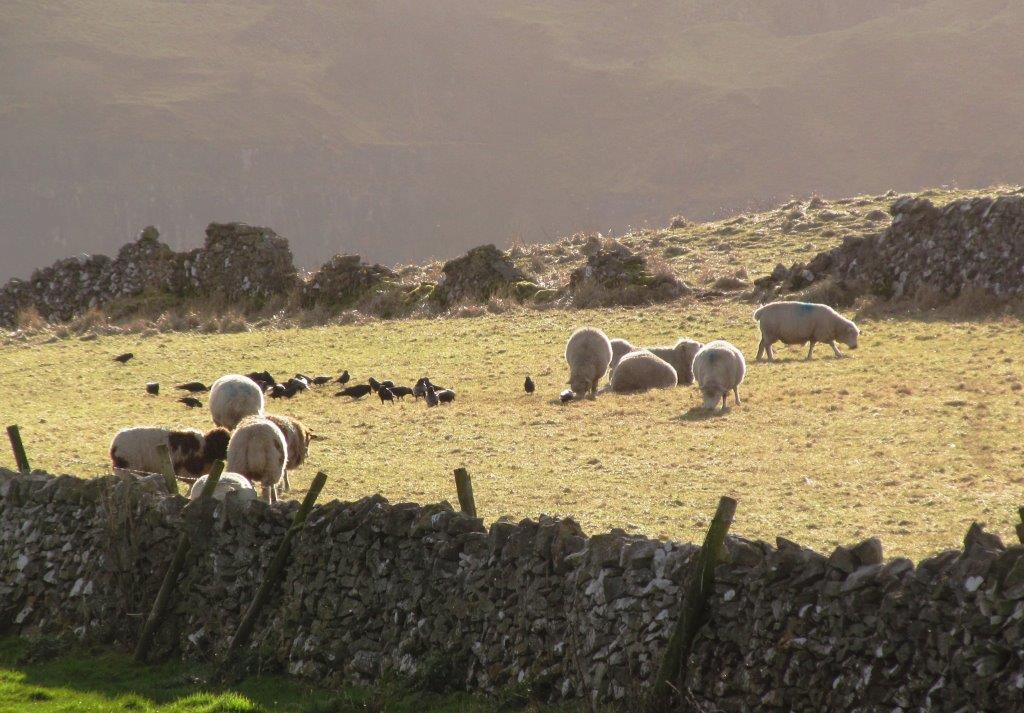
| Litton Edge behind |
 |
| |
 |
| |
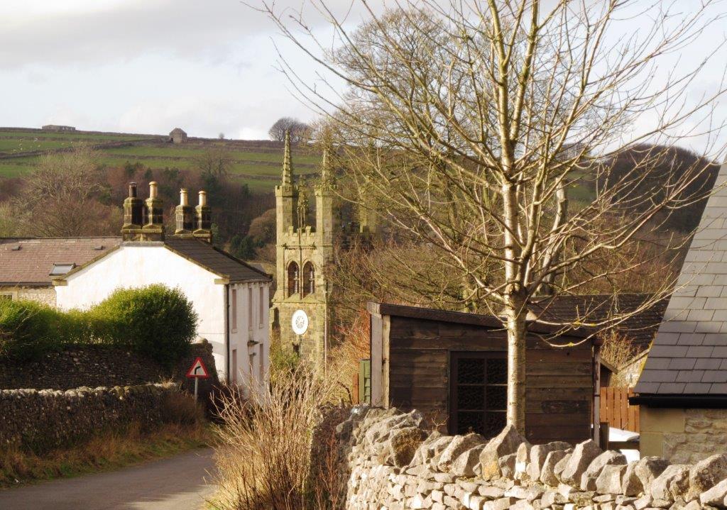 |
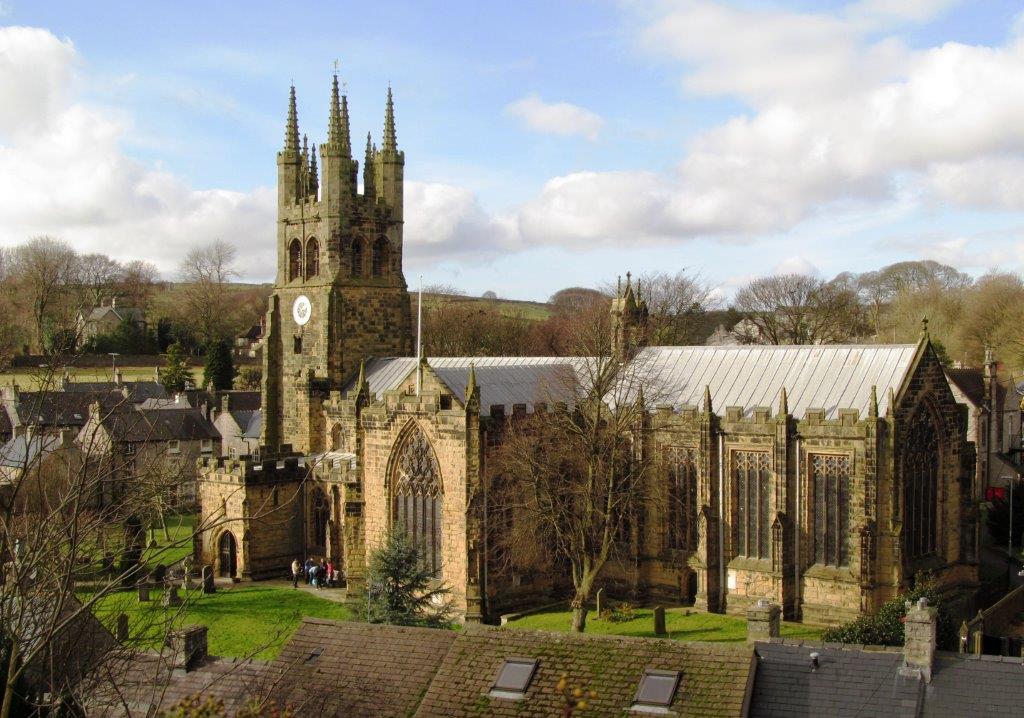
| Tideswell Church |
 |
| |
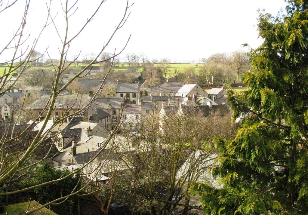 |
| Tideswell roofs |
 |
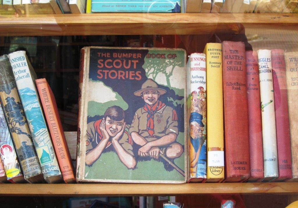
| another era before the digital age |
 |
| |
 |
| |
 |
| |
 |
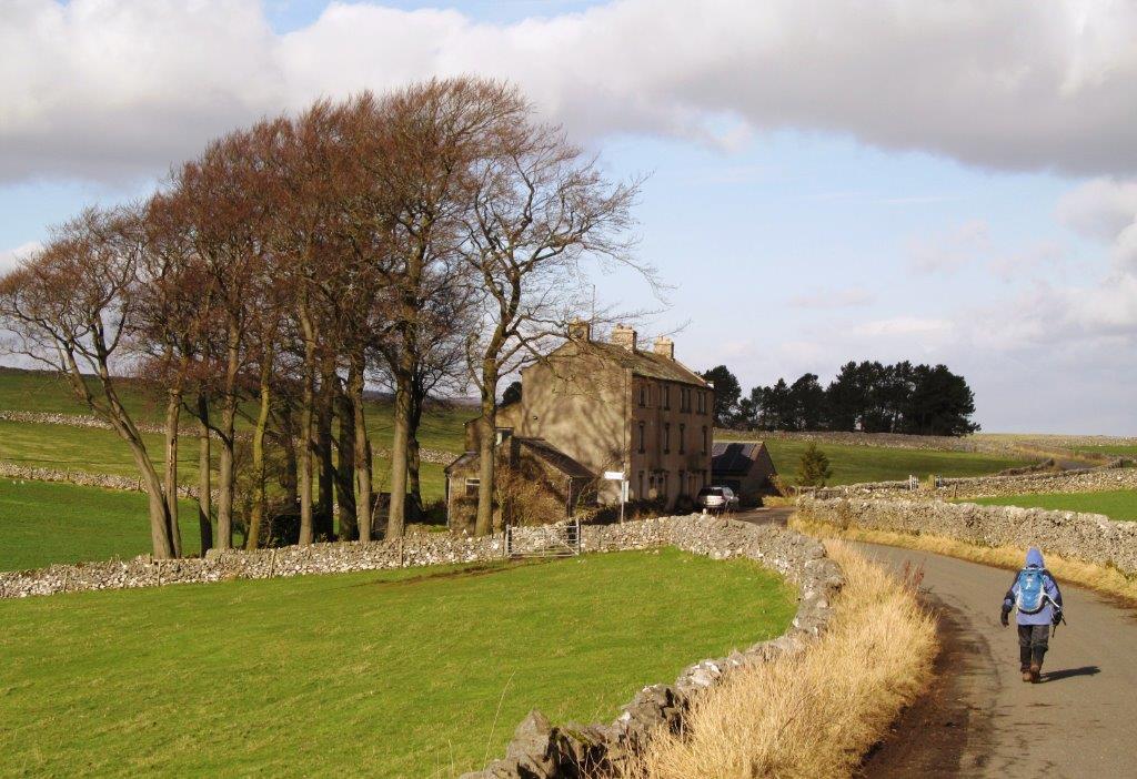
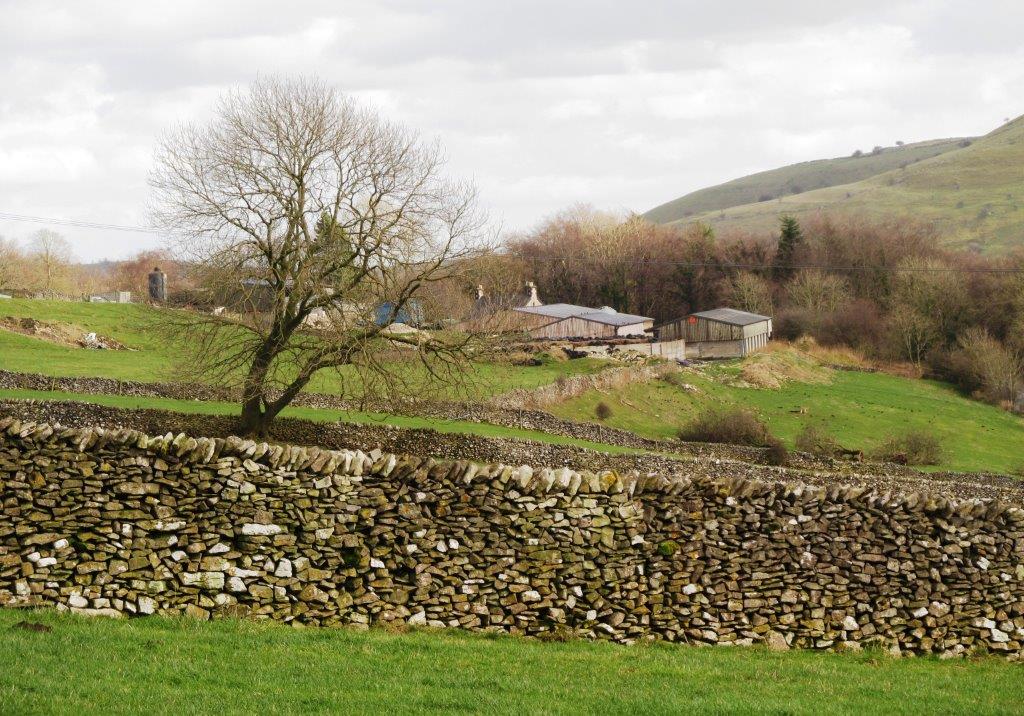
| on the lane back to Millers Dale |
 |
| |
 |
| |
 |
| |
 |
| |
 |
| |
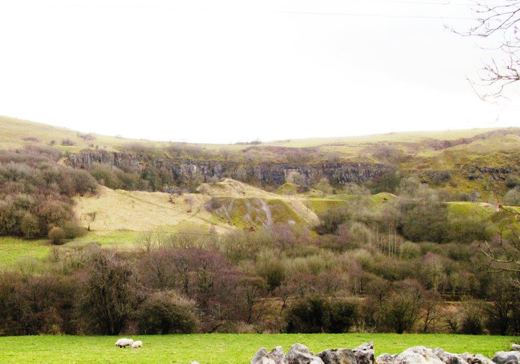 |
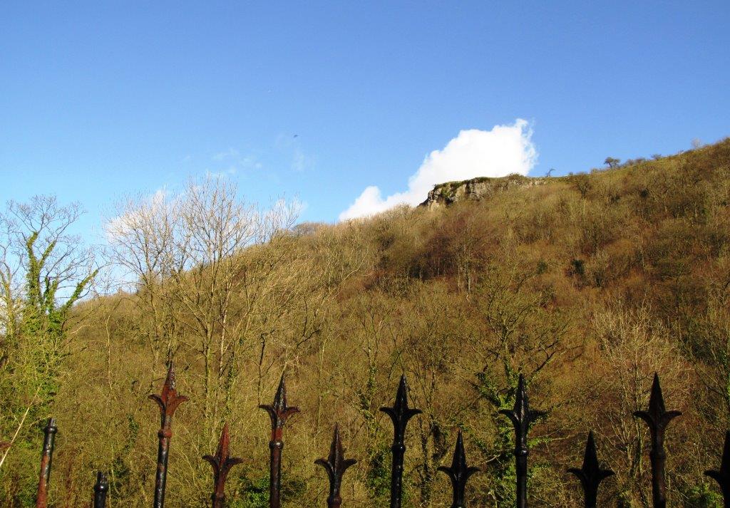
| disused quarry above Monsal trail |
 |
| |
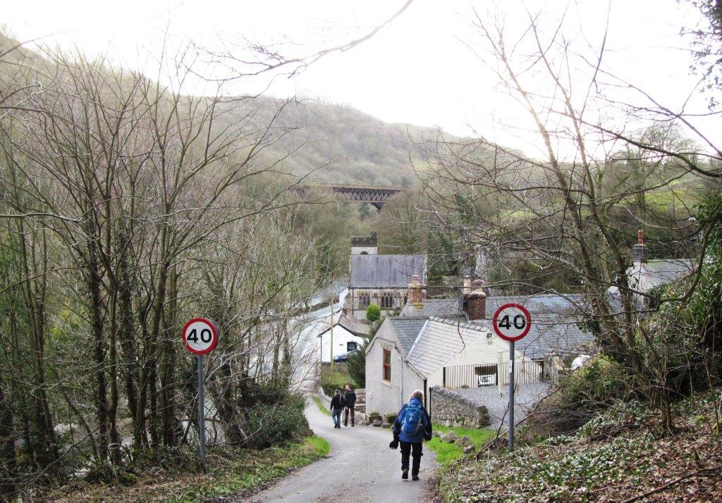 |
| Monsal Trail viaduct (old railway track) visible at top on
descent back into Millers Dale |
homepage - Day Walks
Index 2014 - contact me at