homepage - Day Walks
Index 2014 - contact me at

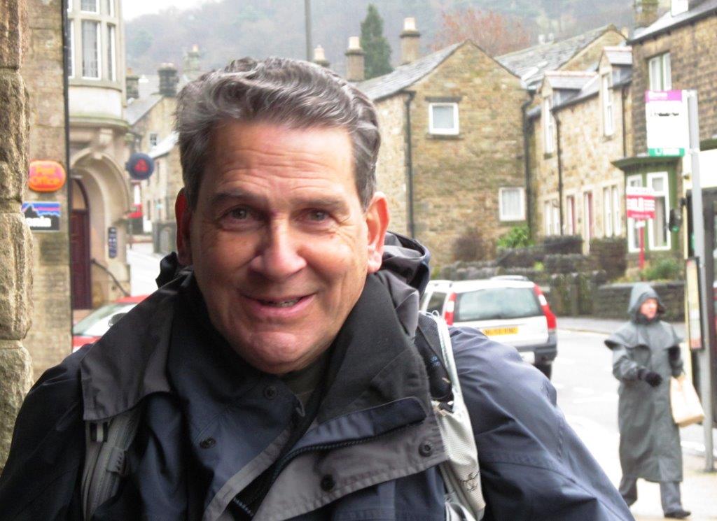
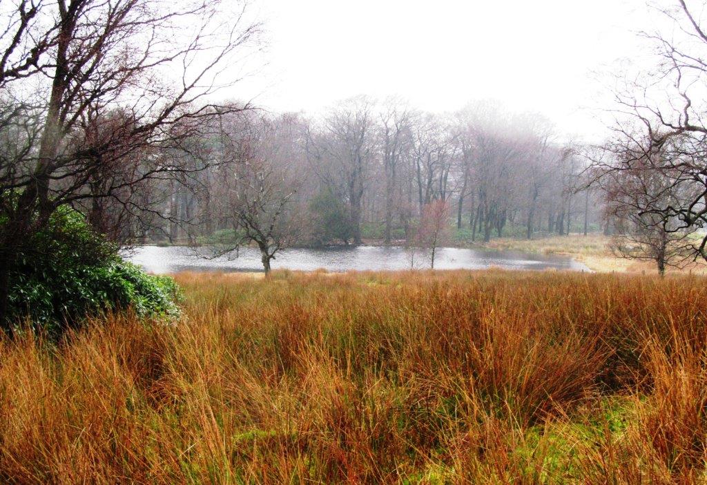
2014.01.29 - Hathersage, North Lees, Stanage Edge, Upper
Burbage Bridge, top of Burbage Edge (some went below), Burbage Bridge, Longshaw
Estate Cafe, Padley Gorge & Chapel, NW down to & along River Derwent, Leadmill
Bridge, Hathersage - leader David Hogg
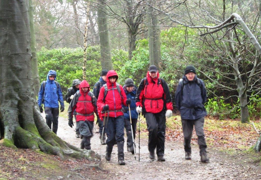
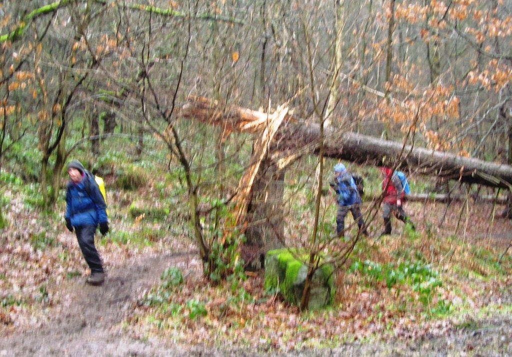
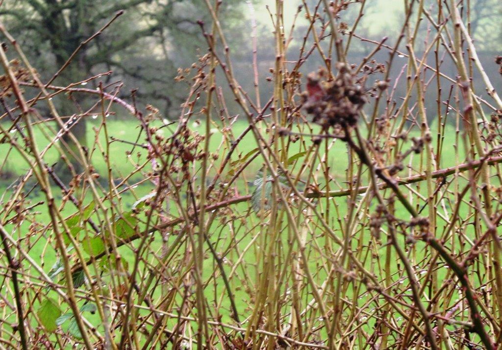
some pictures rain affected
 |
| |
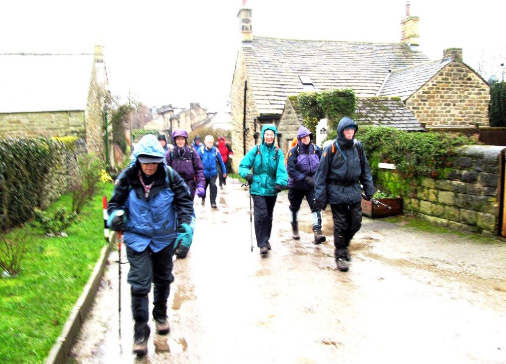 |
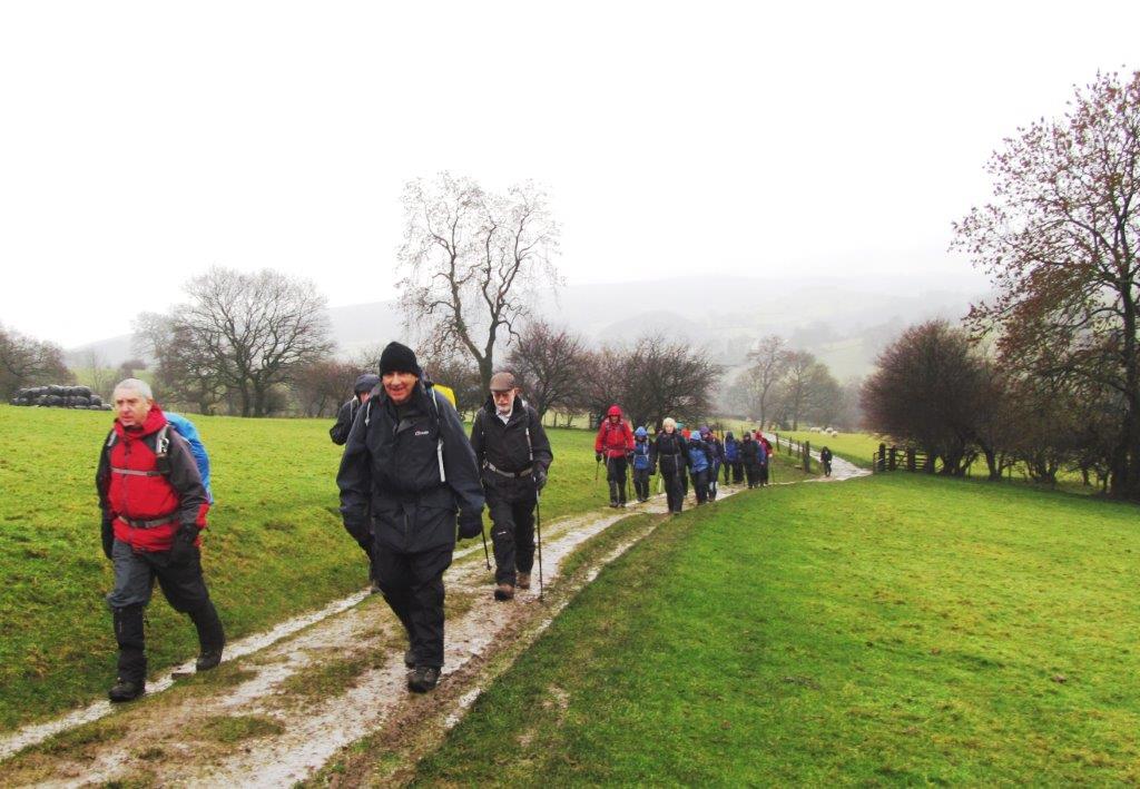
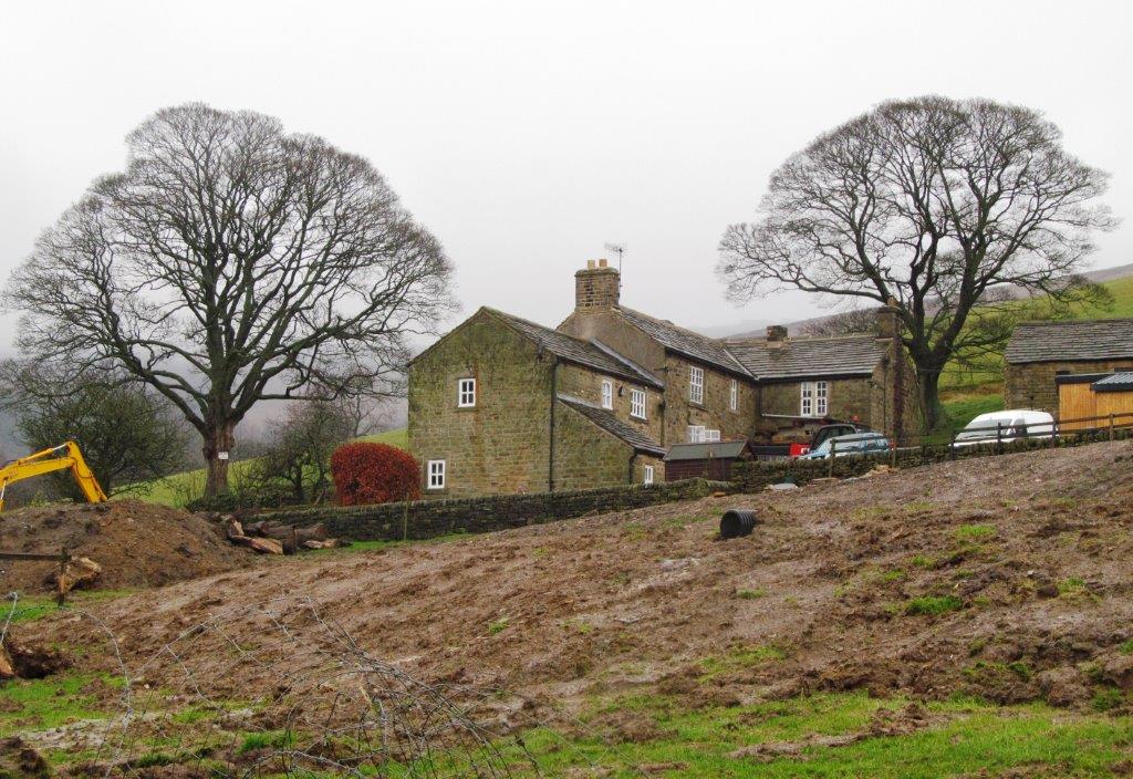
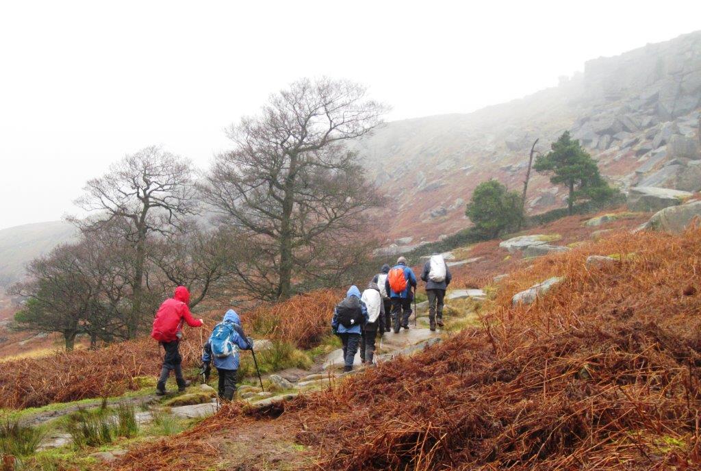
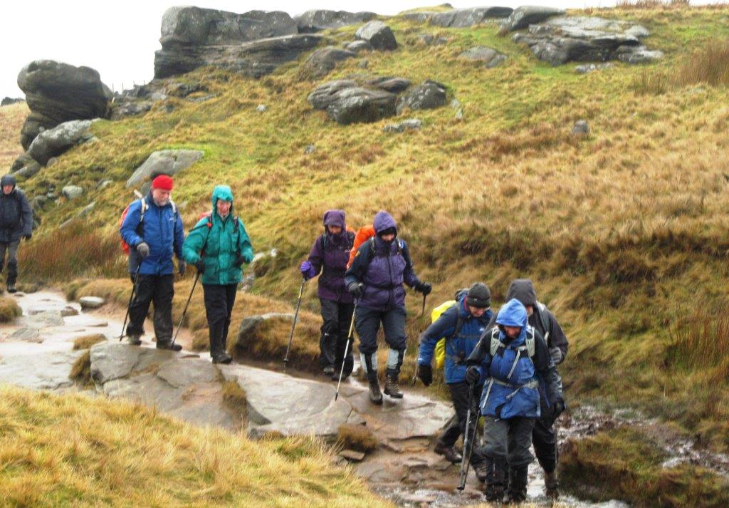
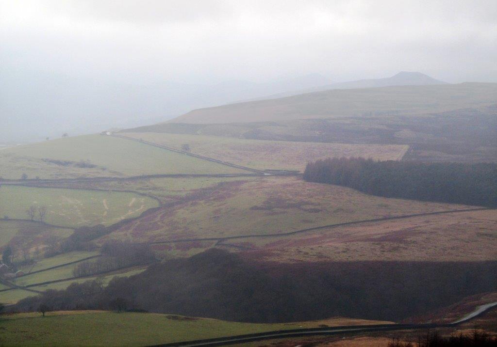
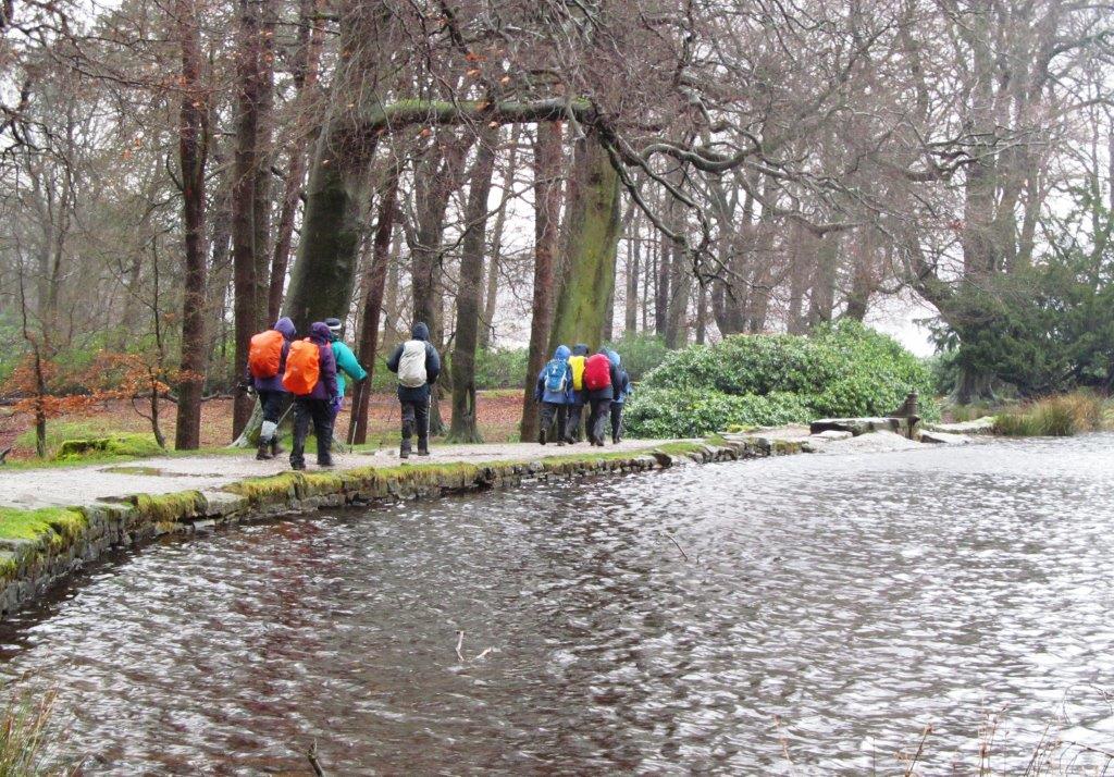
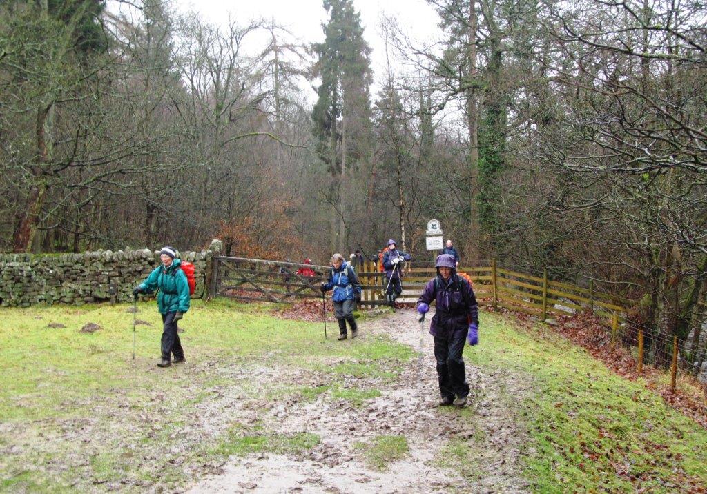
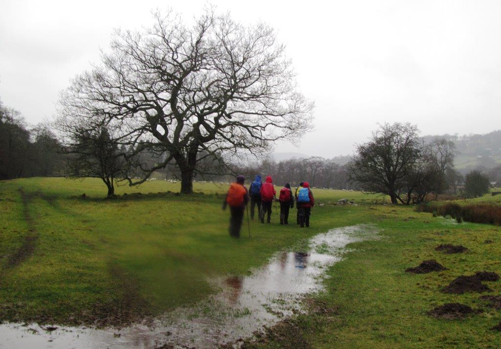
| leaving Hathersage |
 |
| |
 |
| |
 |
| |
 |
| |
 |
| |
 |
| |
 |
| |
 |
| |
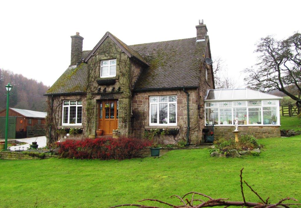 |
| Bronte Cottage |
 |
| |
 |
| |
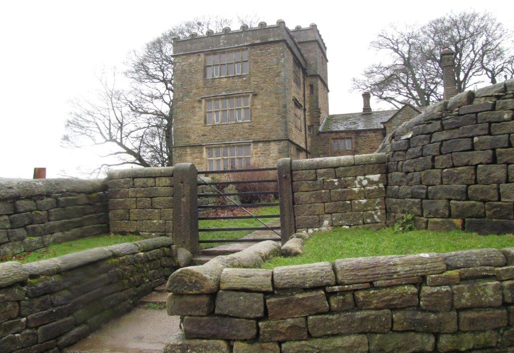 |
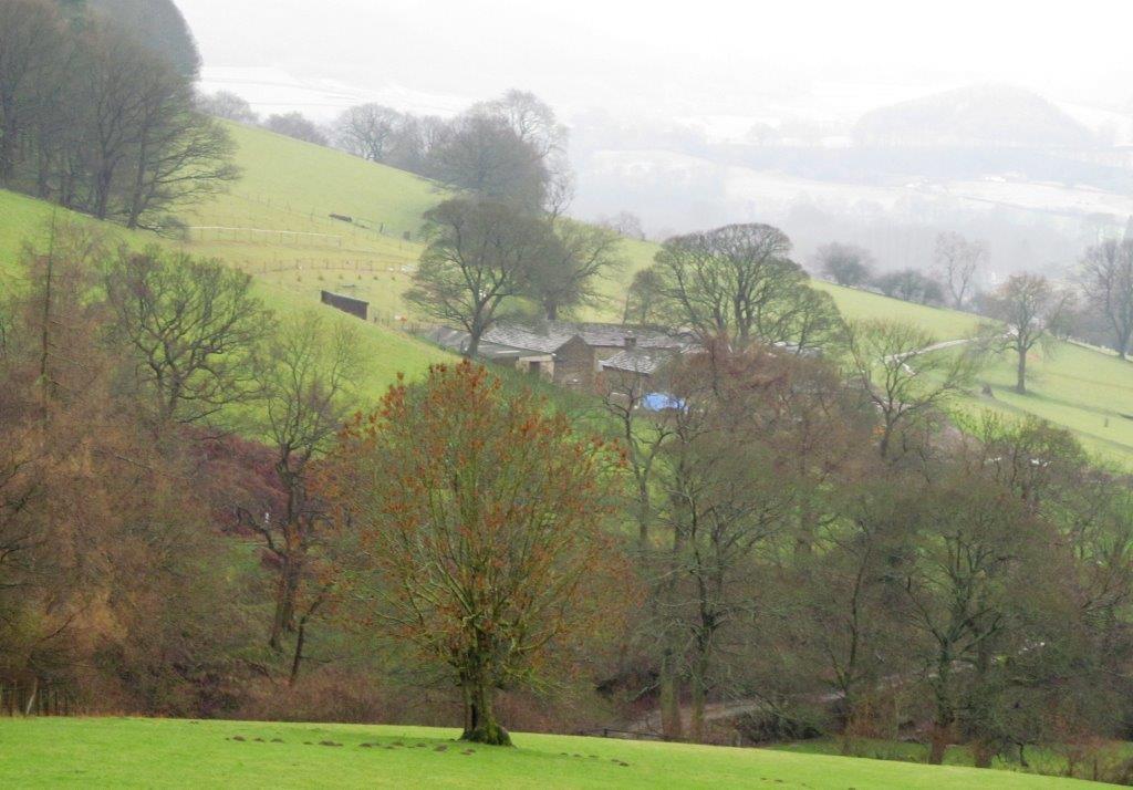
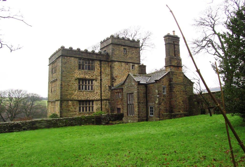
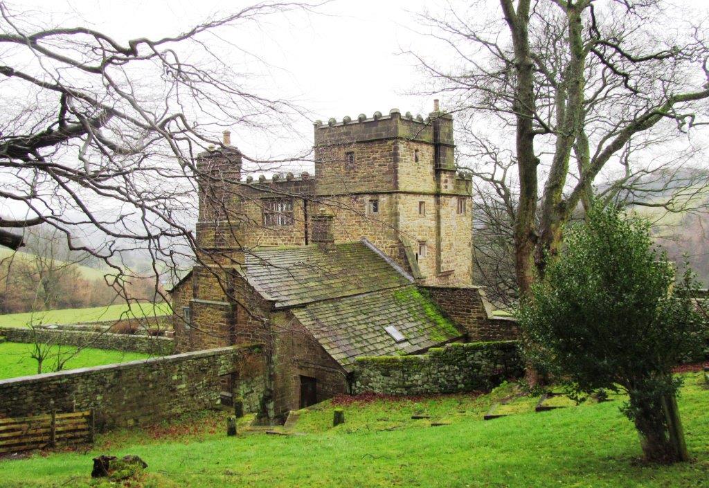
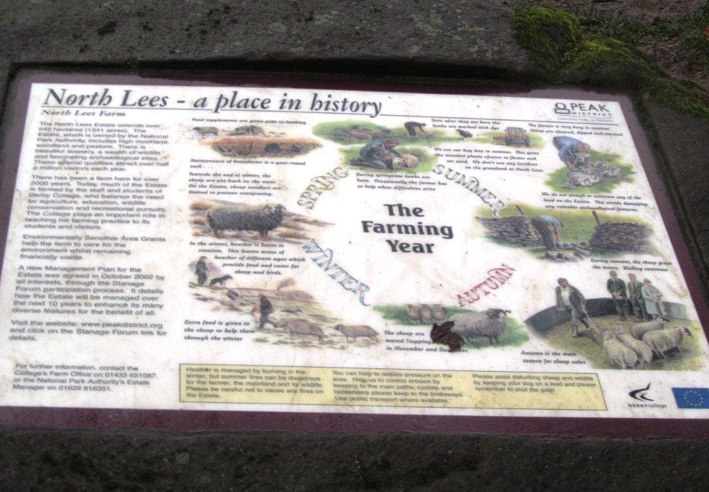
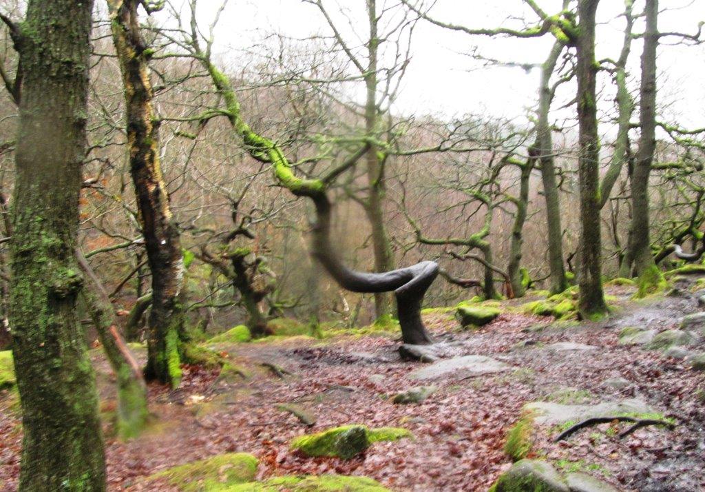
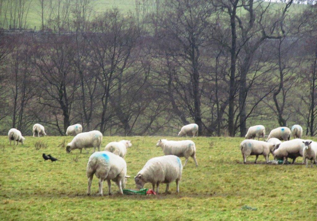
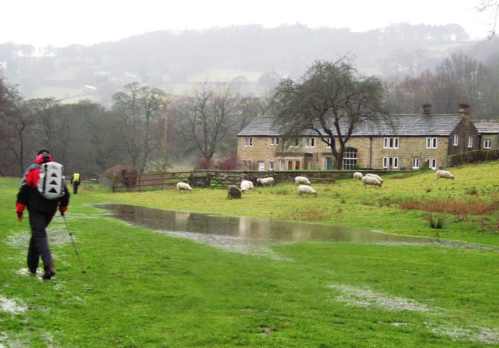
| North Lees |
 |
| |
 |
| |
 |
| |
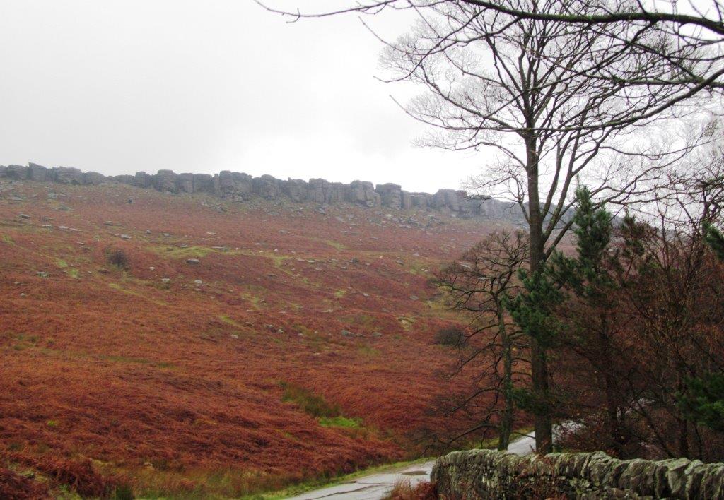 |
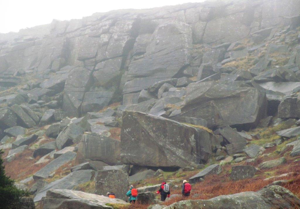
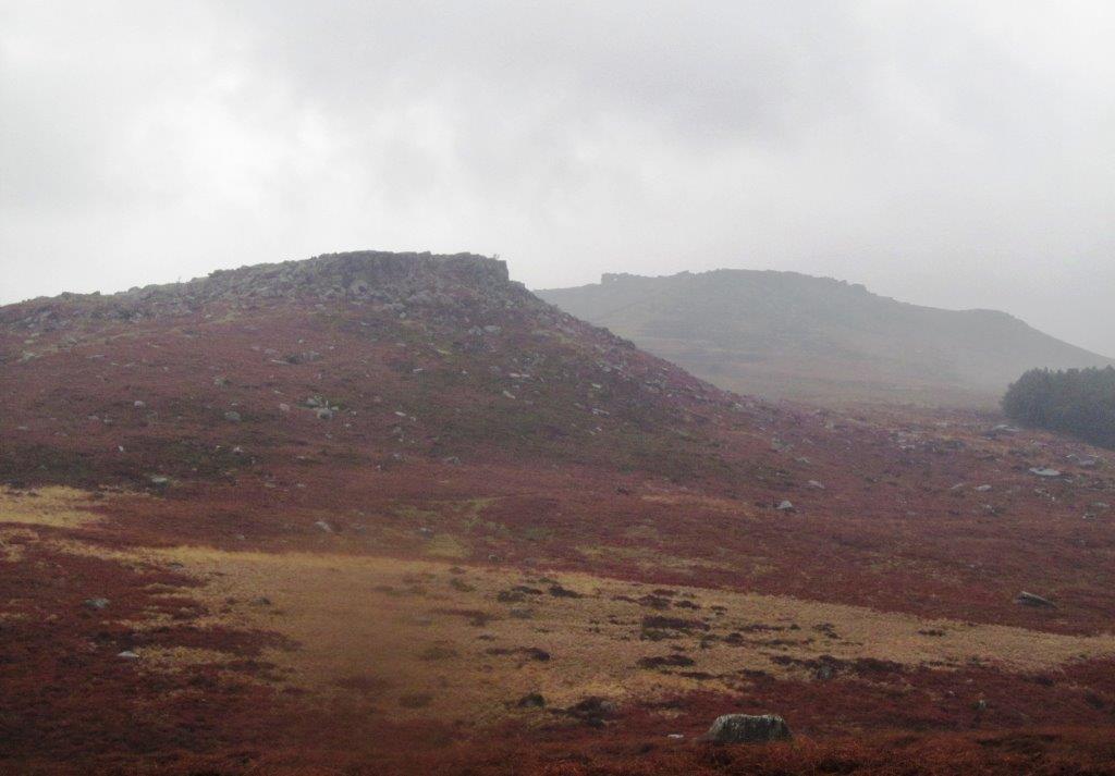
| Stanage Edge |
 |
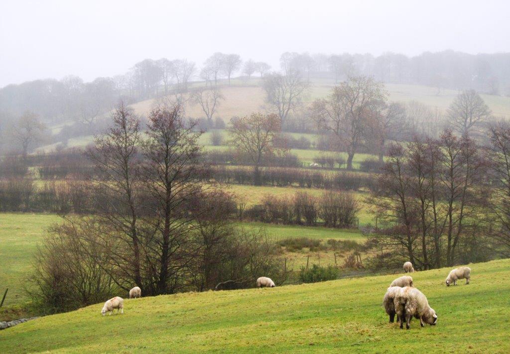
| Cattis-side Moor behind |
 |
| |
 |
| |
 |
| |
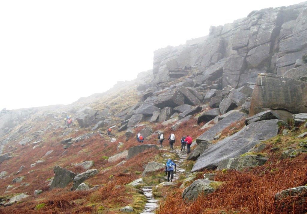 |
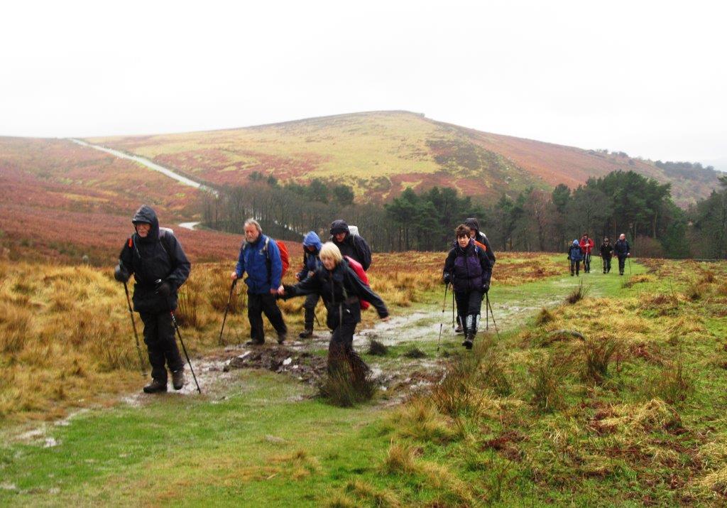
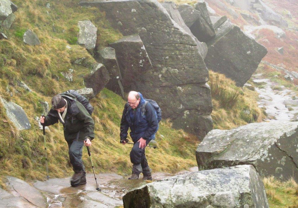
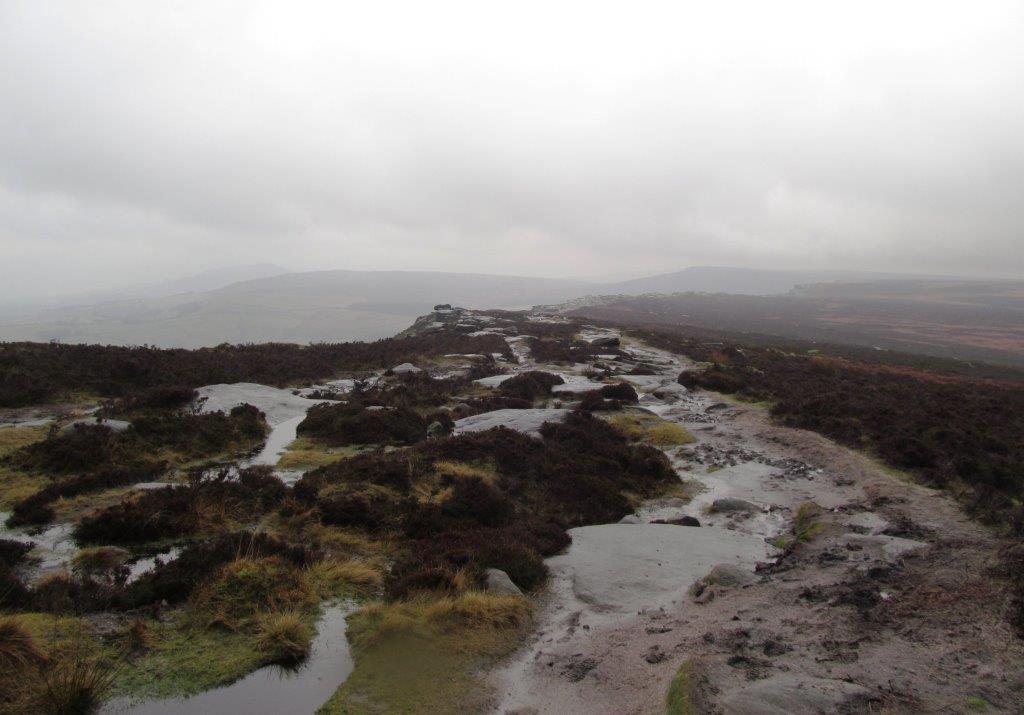
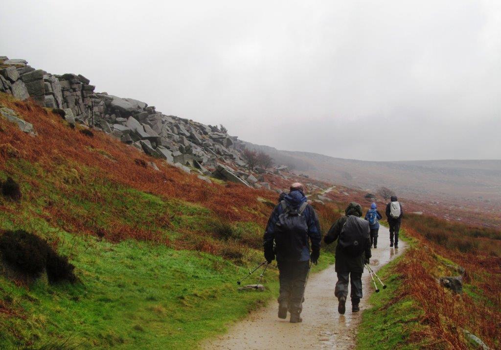
| up to Stanage Edge |
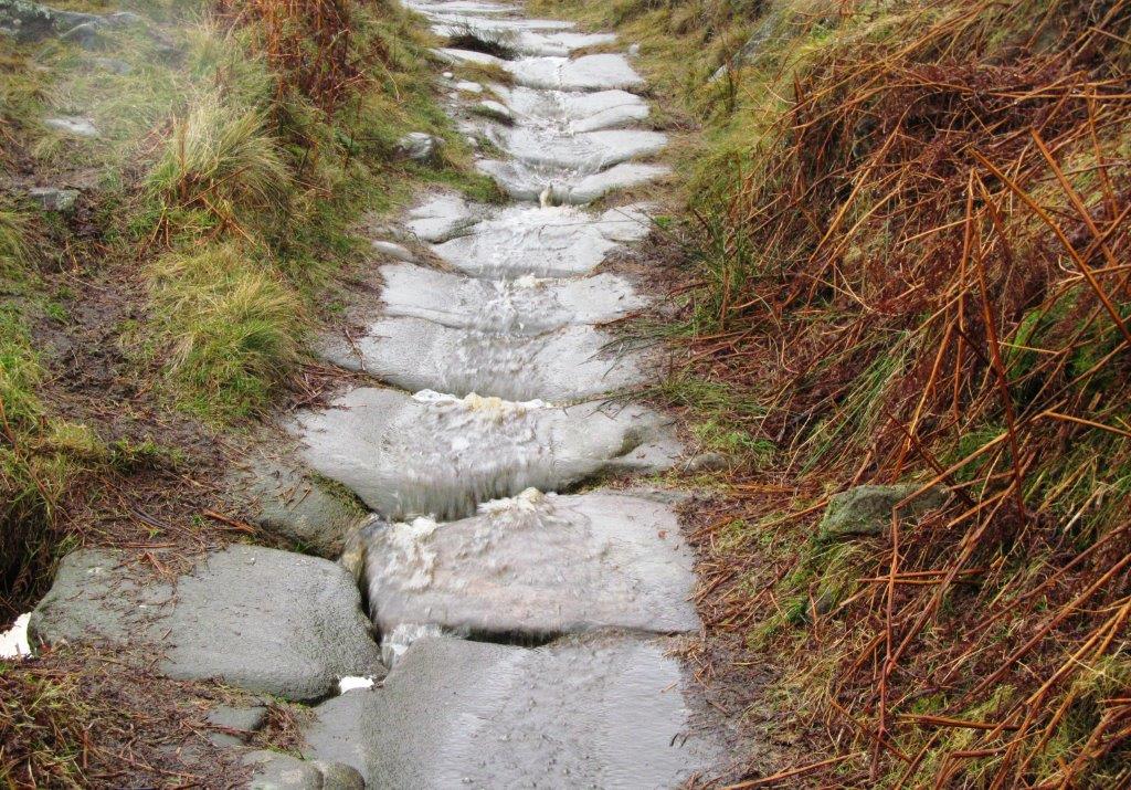 |
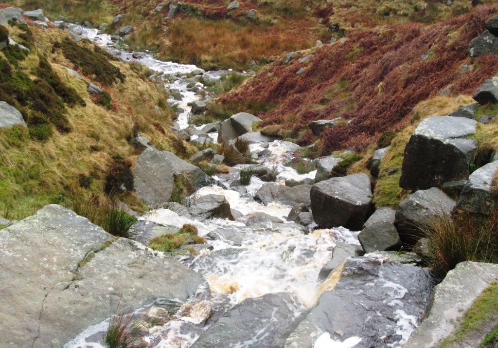
| paved path flowing with water |
 |
| |
 |
| |
 |
| |
 |
| |
 |
| |
 |
| |
 |
| |
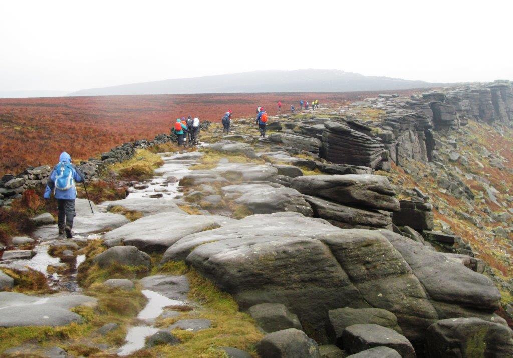 |
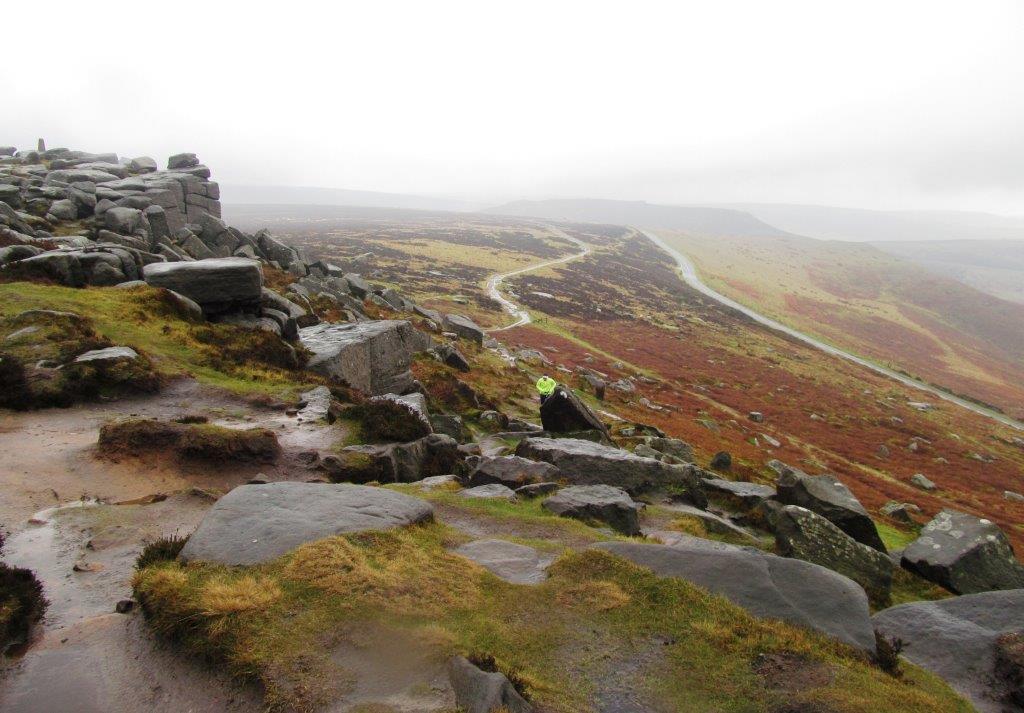
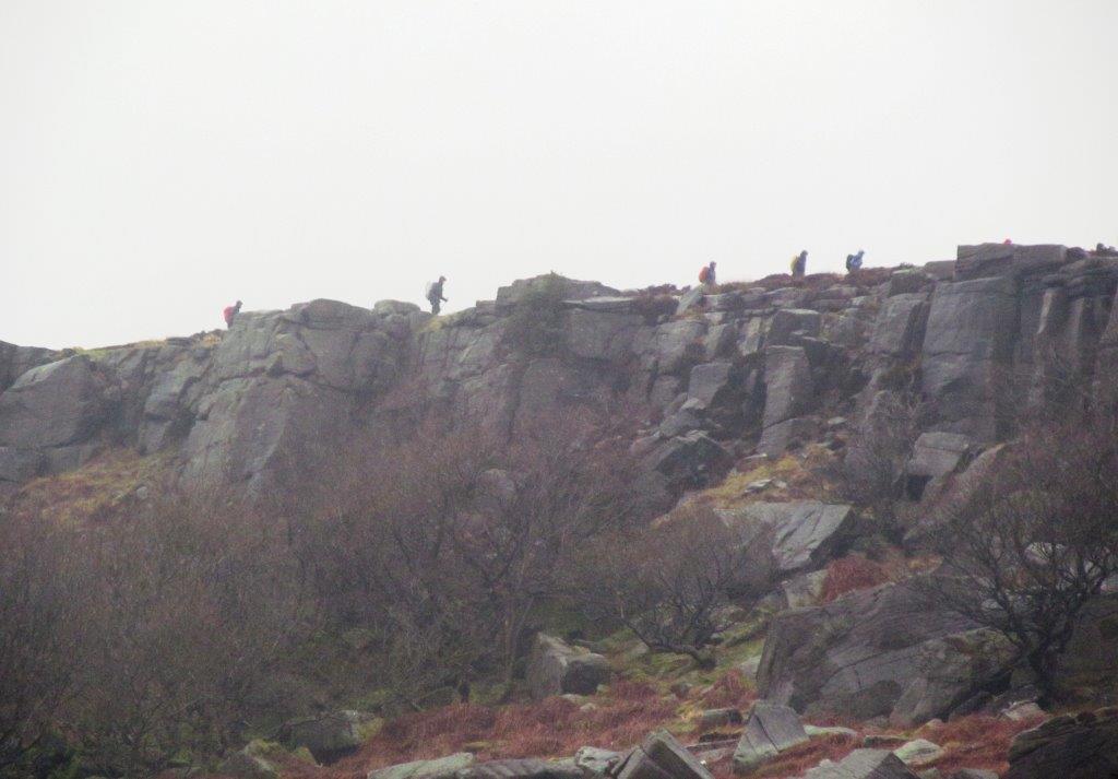
| South East along Stanage Edge |
 |
| Win Hill at top |
 |
| |
 |
| |
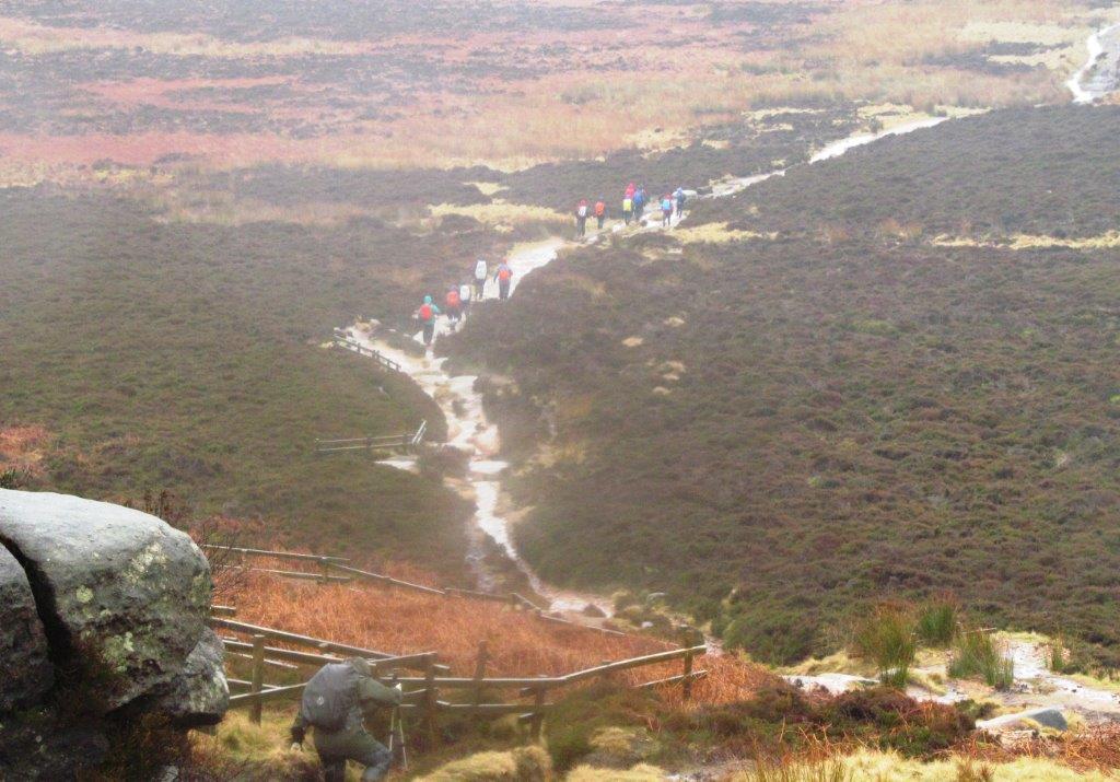 |
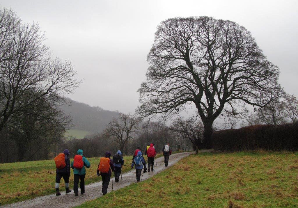
| down to Upper Burbage Bridge |
 |
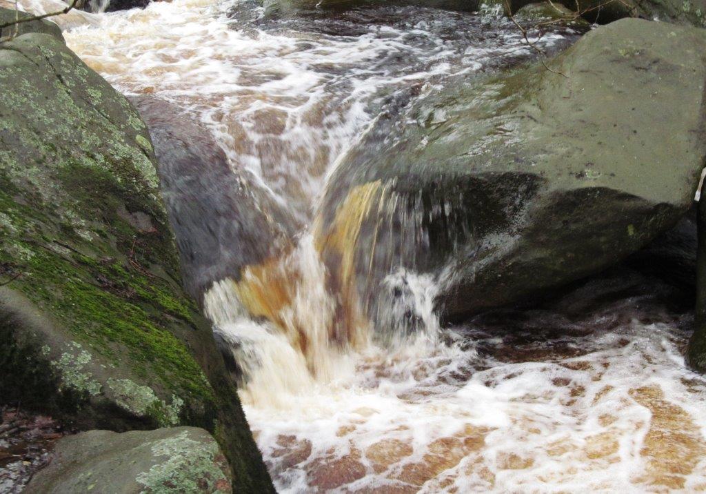
| one of several streams into Burbage Brook |
 |
| the alternate route taken by a few below Burbage Edge |
 |
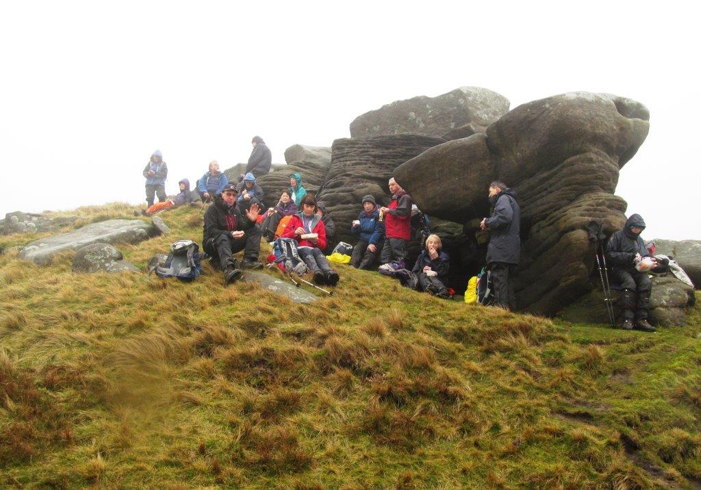
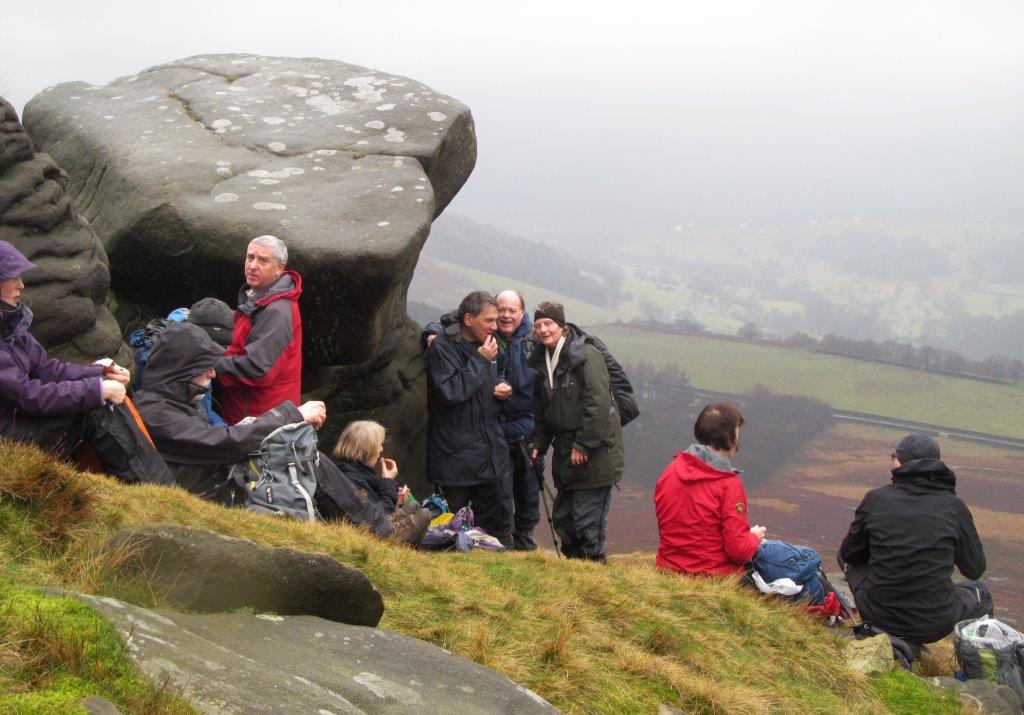
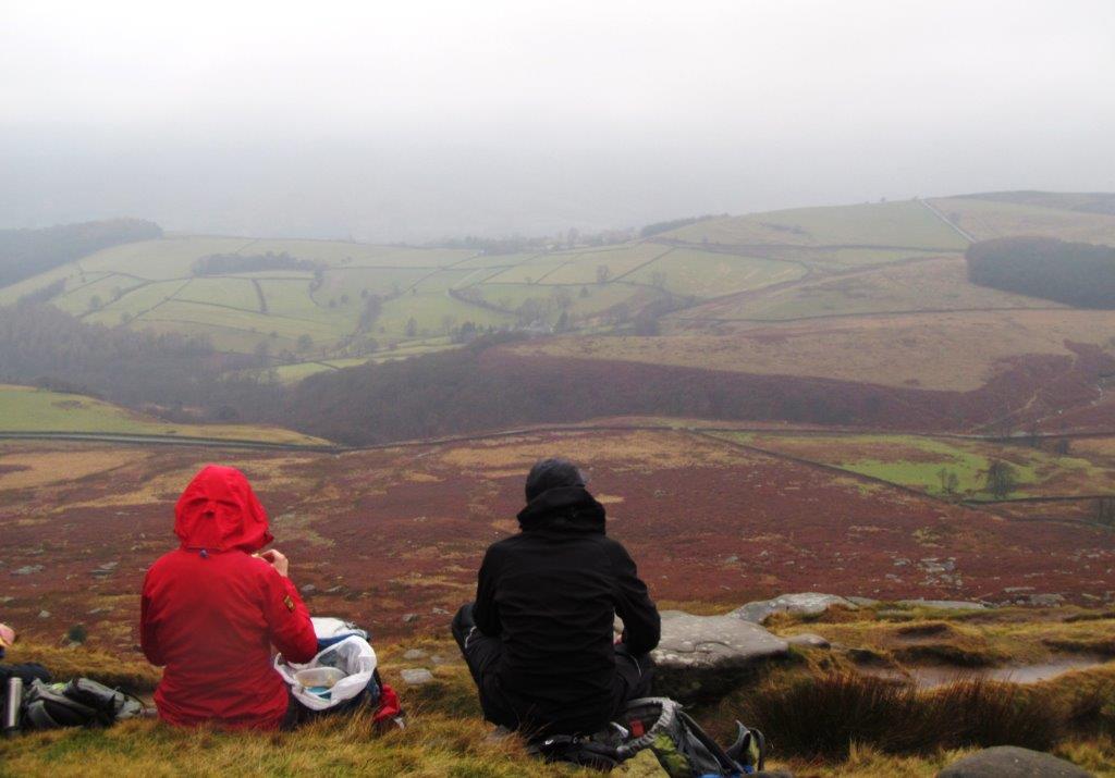
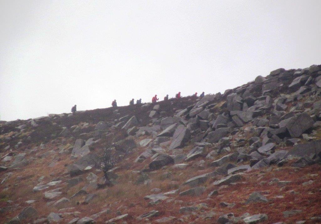
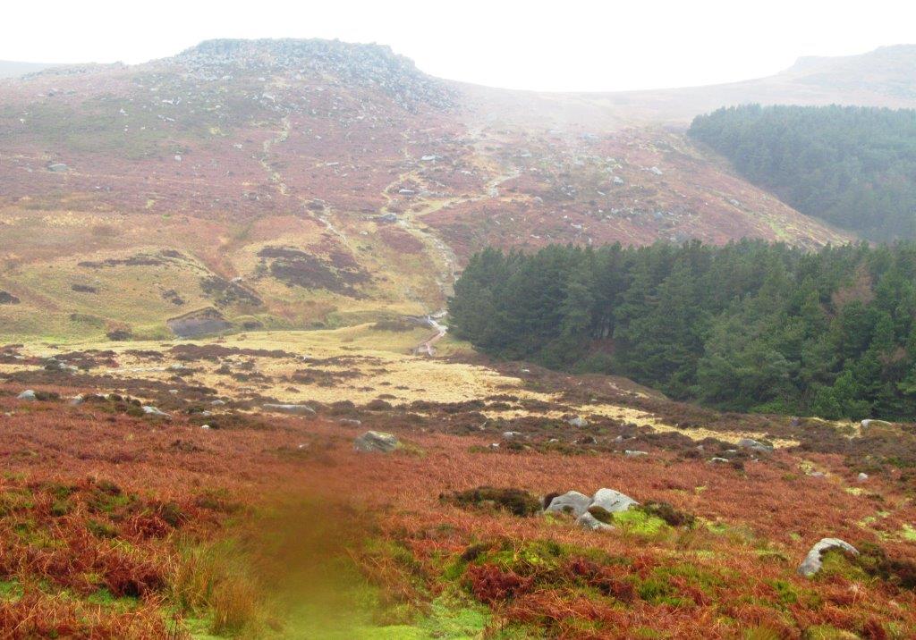
| the main party above Burbage Edge |
 |
| |
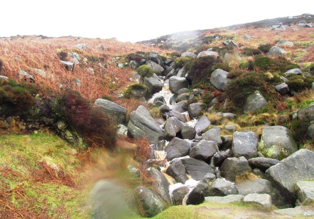 |
| side stream into Burbage brook |
 |
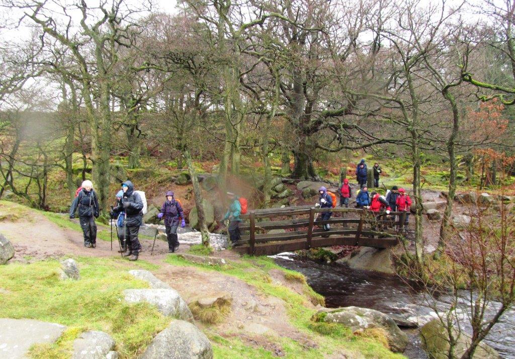
| Carl Wark (fort) - packhorse bridge near trees below |
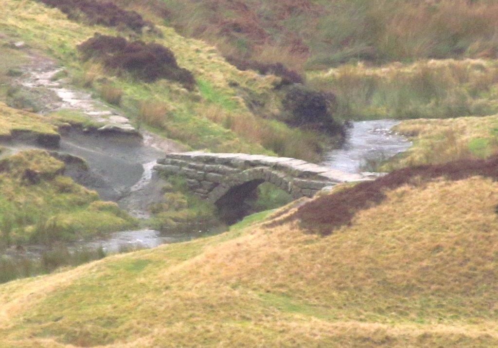 |
| zoomed in to Packhorse Bridge |
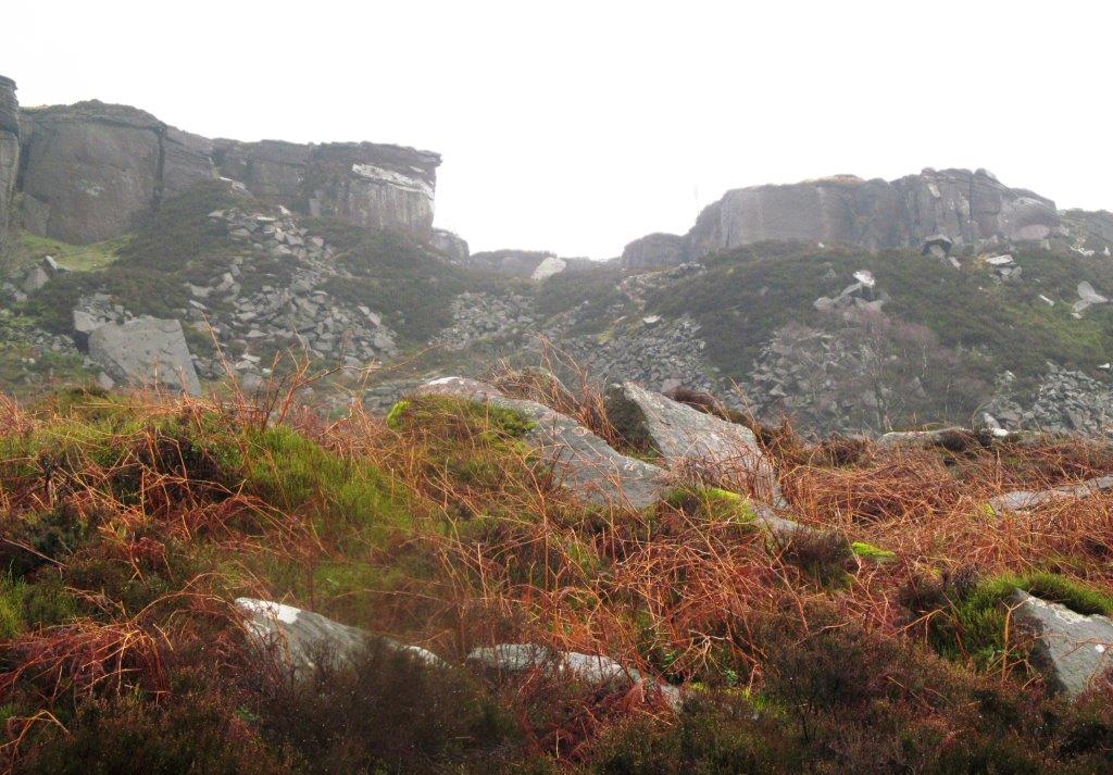 |
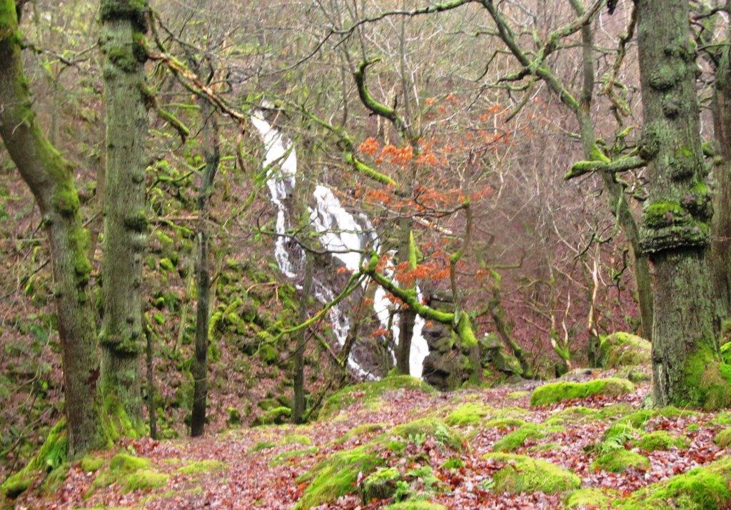
| part of Burbage Quarries (disused) |
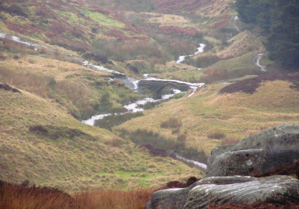 |
| Packhorse Bridge again |
 |
| Carl Wark in foreground - Higgar Tor behind |
 |
| |
 |
| Longshaw Estate cafe |
 |
| |
 |
| |
 |
| |
 |
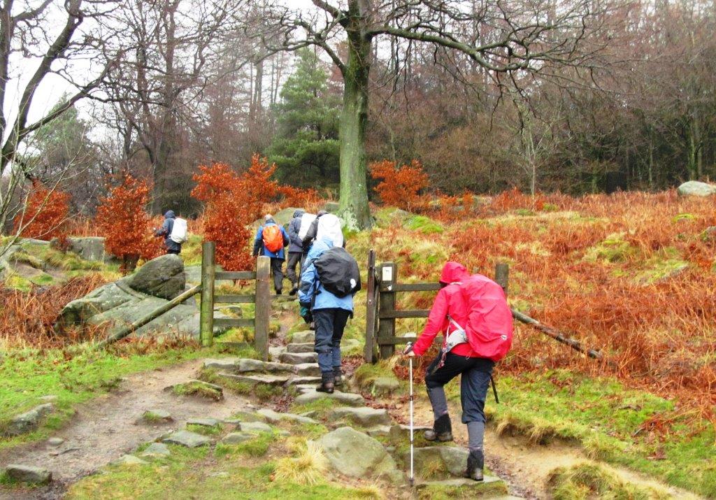
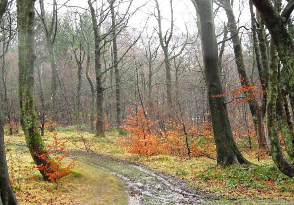
| crossing Burbage Brook into Padley Gorge |
 |
| |
 |
| |
 |
| |
 |
| |
 |
| |
 |
| |
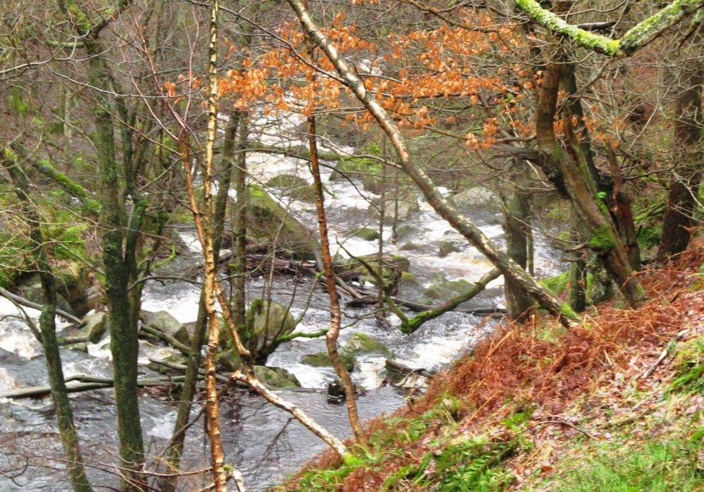 |
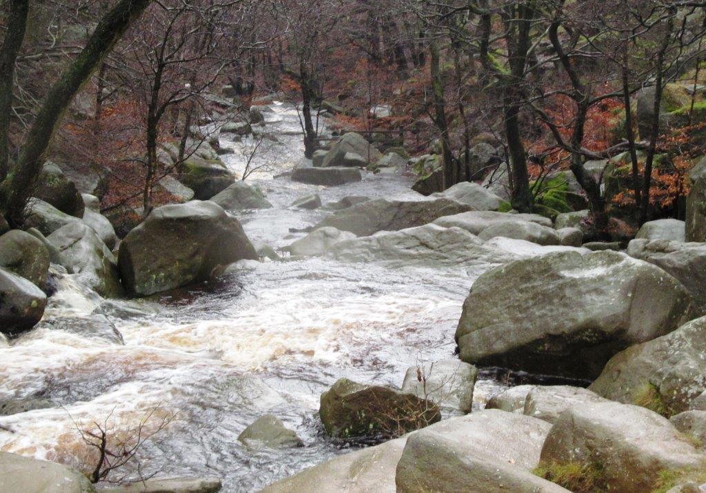
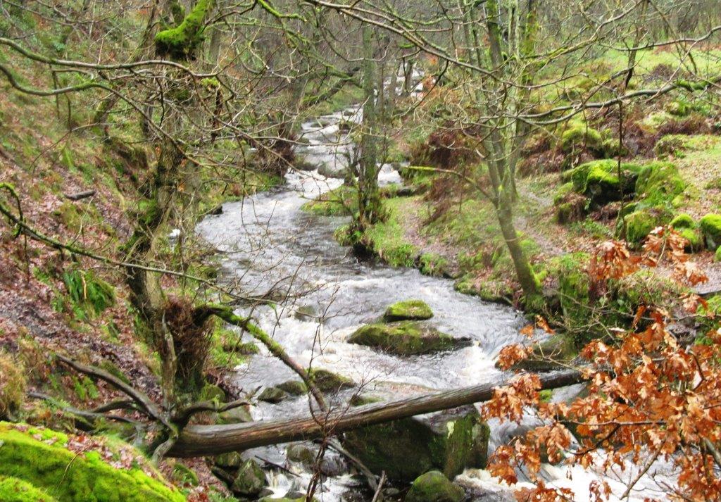
| Burbage Brook in Padley Gorge |
 |
| Padley Chapel |
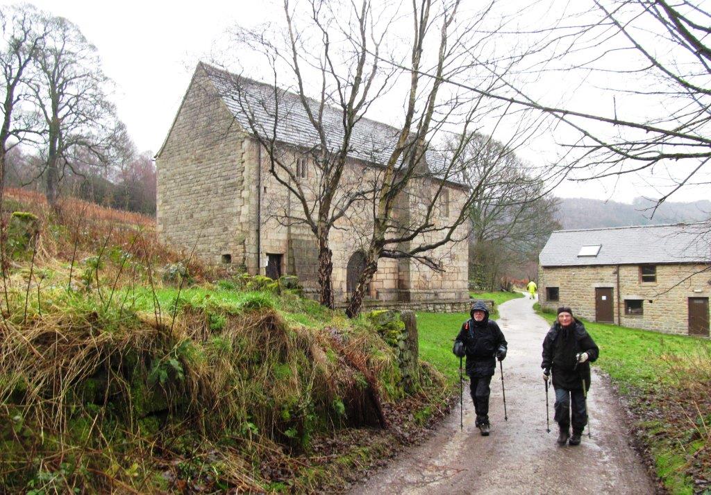 |
| Padley Chapel |
 |
| |
 |
| |
 |
| |
 |
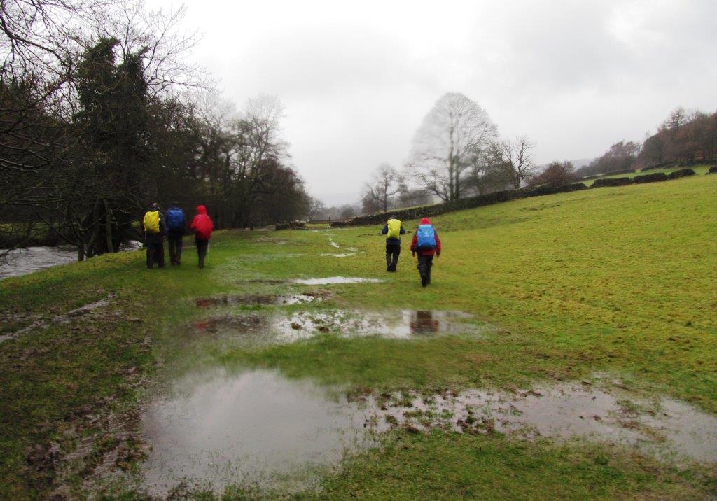
| River Derwent |
 |
| |
 |
| |
 |
| |
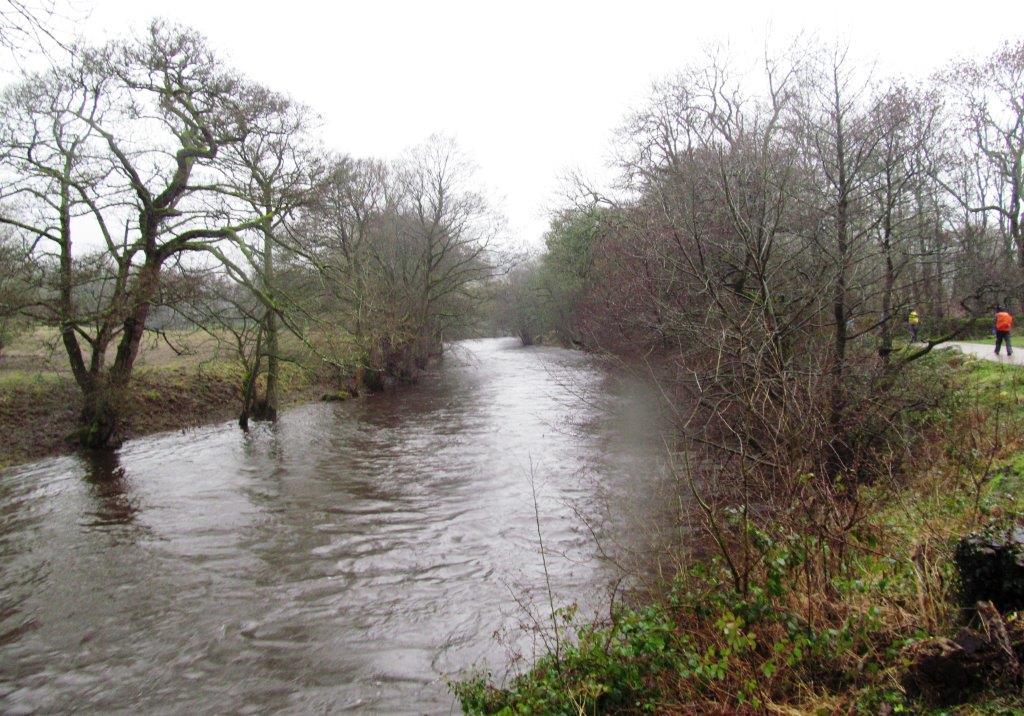 |
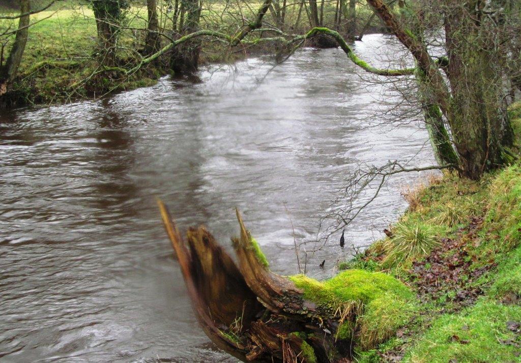
| River Derwent - upstream toward Leadmill Bridge |
 |
| |
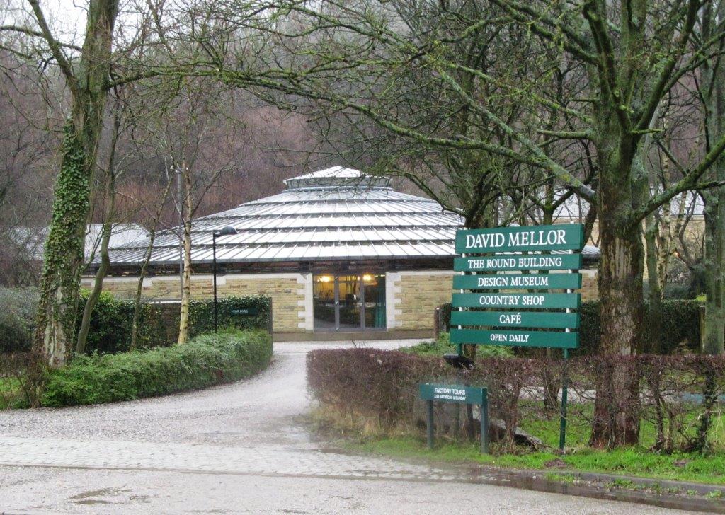 |
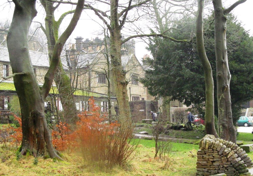
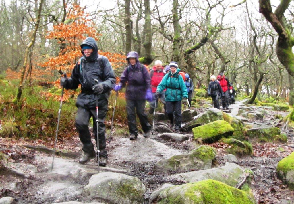
| along road into Hathersage passing David Mellor Design
Museum - had enough mud for one day |
homepage - Day Walks
Index 2014 - contact me at