homepage - Day Walks
Index 2013 - contact me at

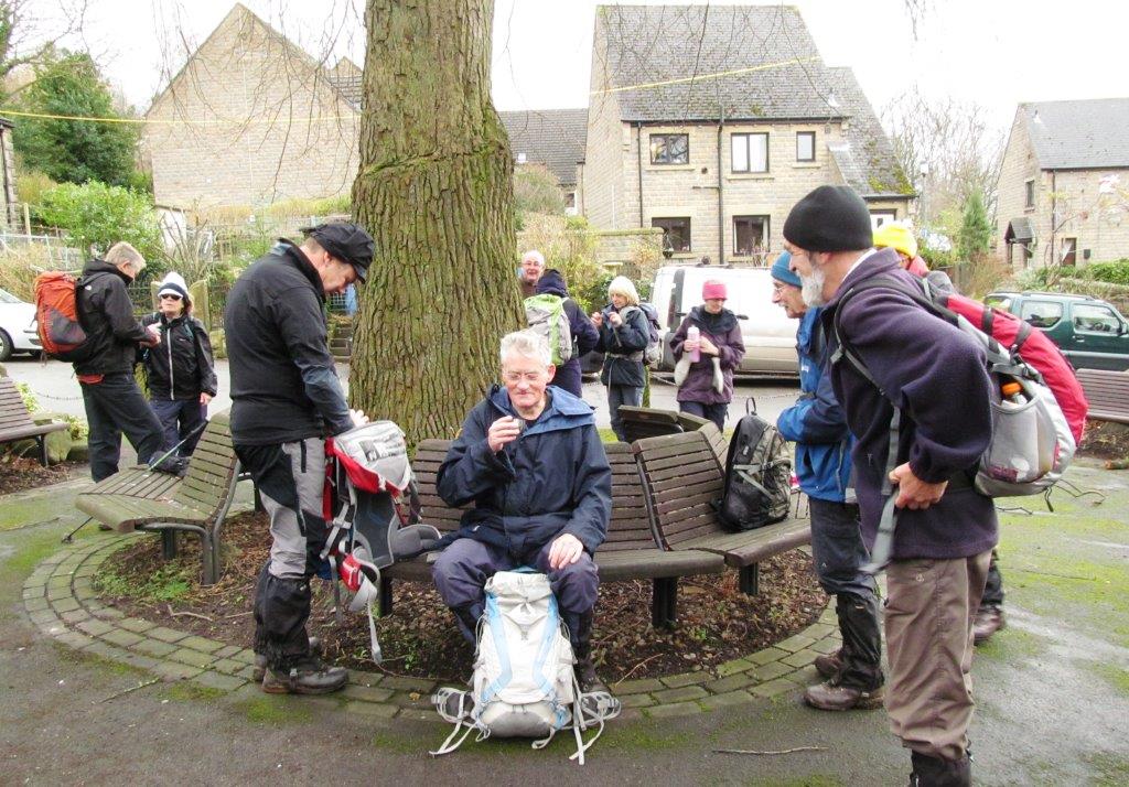
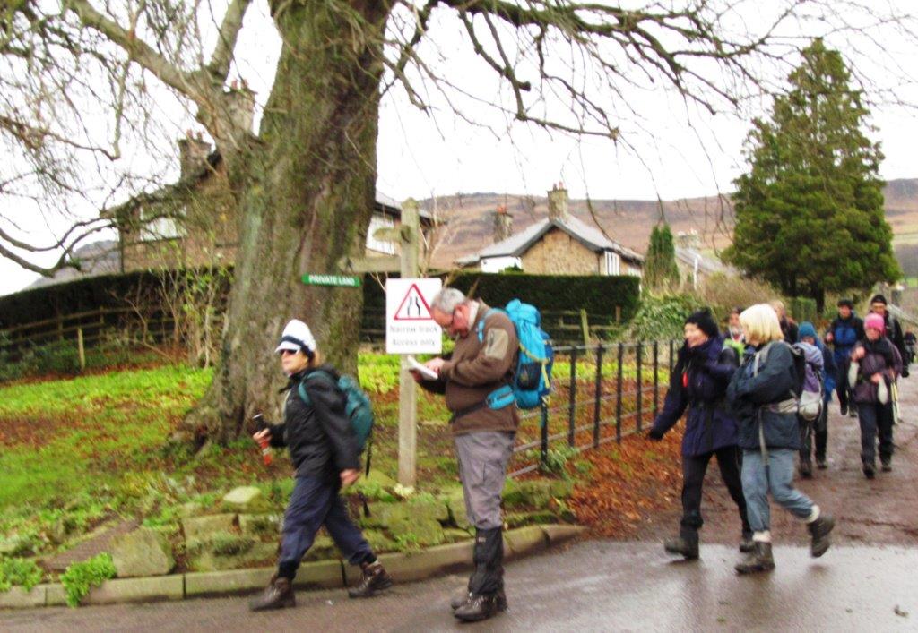
8th December 2013 -
Cutthroat Bridge, Bamford - Edge / Clough / village / Mill, Winhill Pike,
Twitchill Farm, Fullwood Stile Farm, Townhead Bridge, Lose Hill, Back Tor,
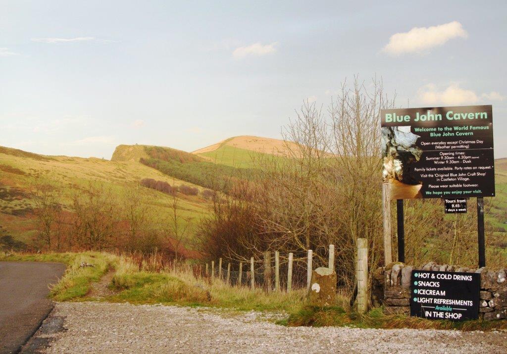
Hollins Cross, Mam Tor, Blue John Cavern, Castleton - leader Andrew Irwin -
Sunday
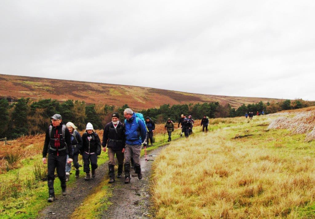 |
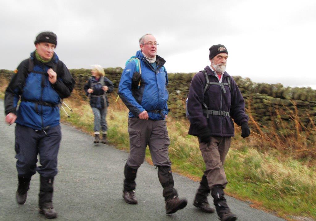
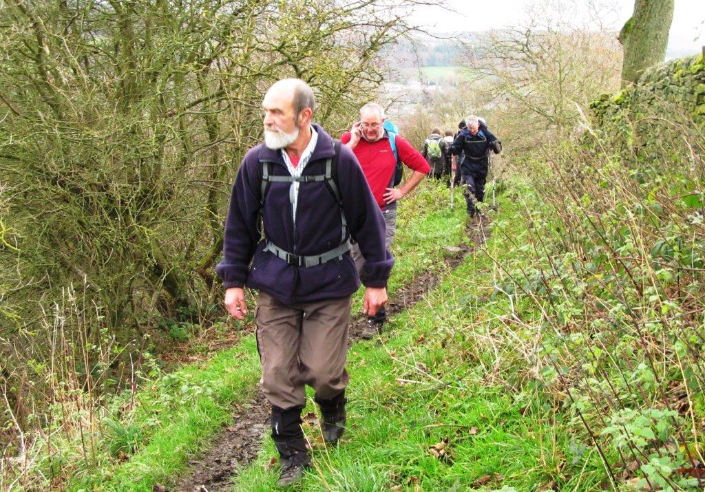
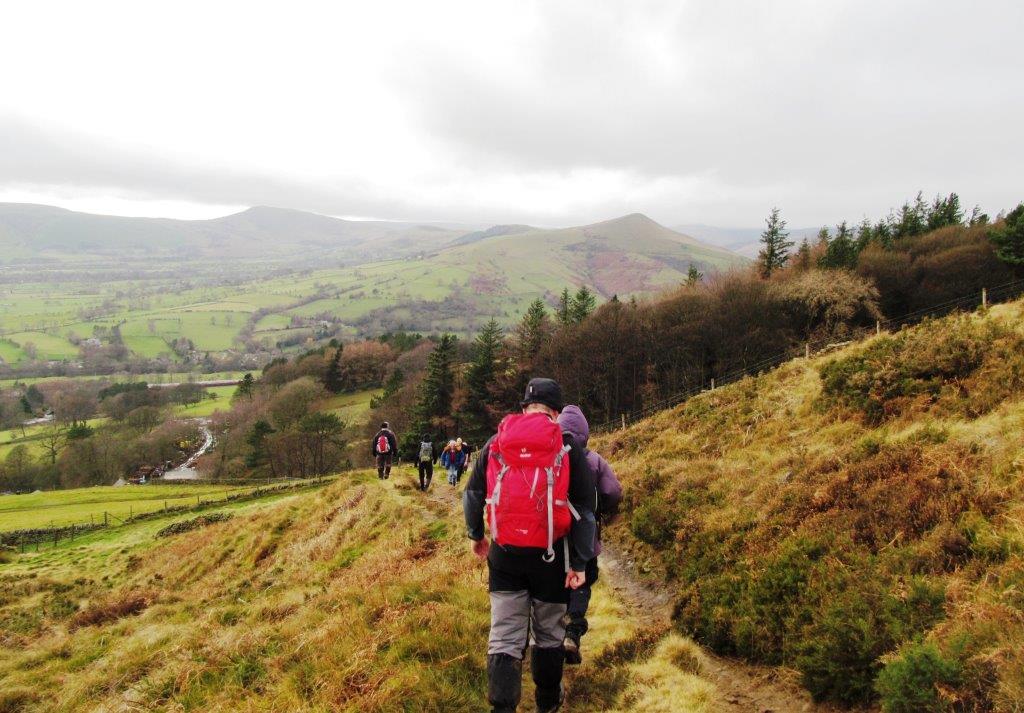
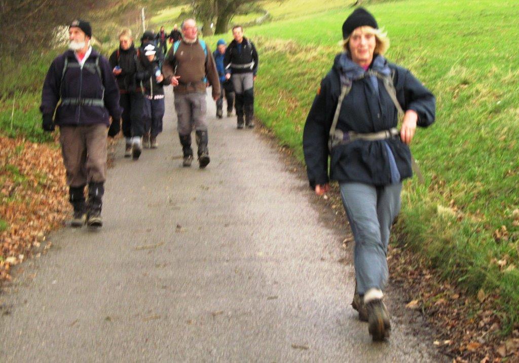
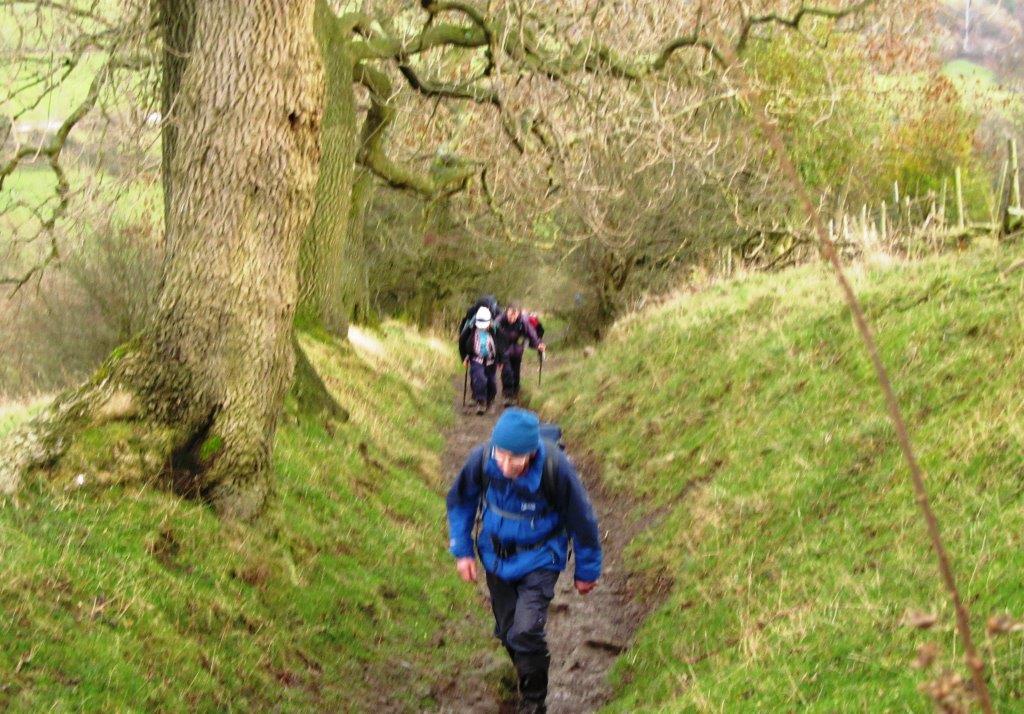
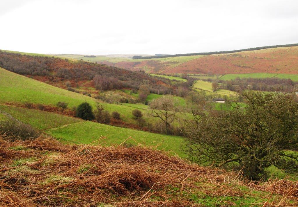
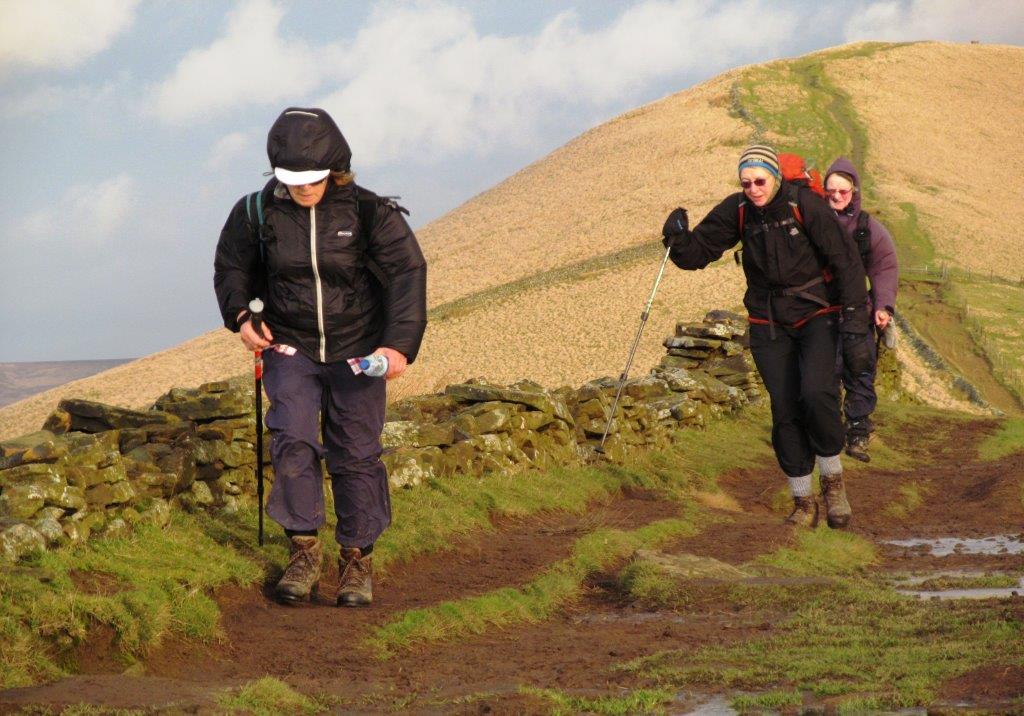
| climbing up from Cutthroat Bridge |
 |
| |
 |
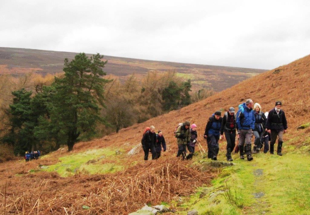
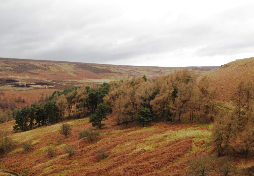
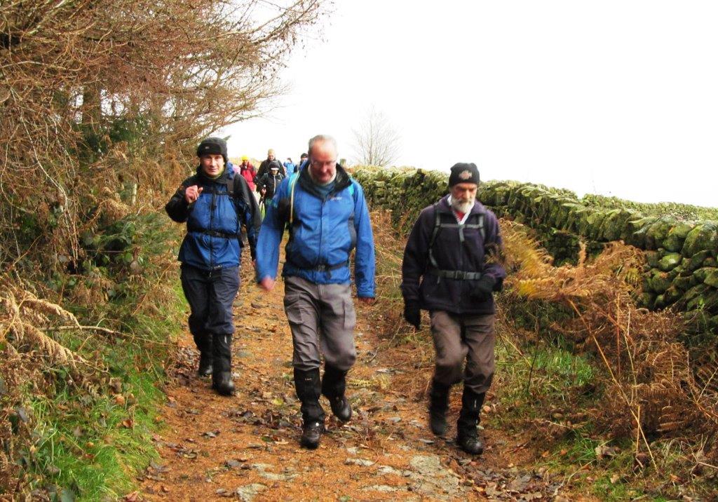
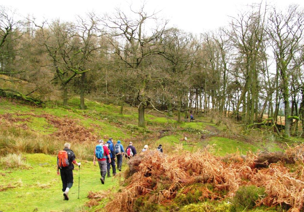
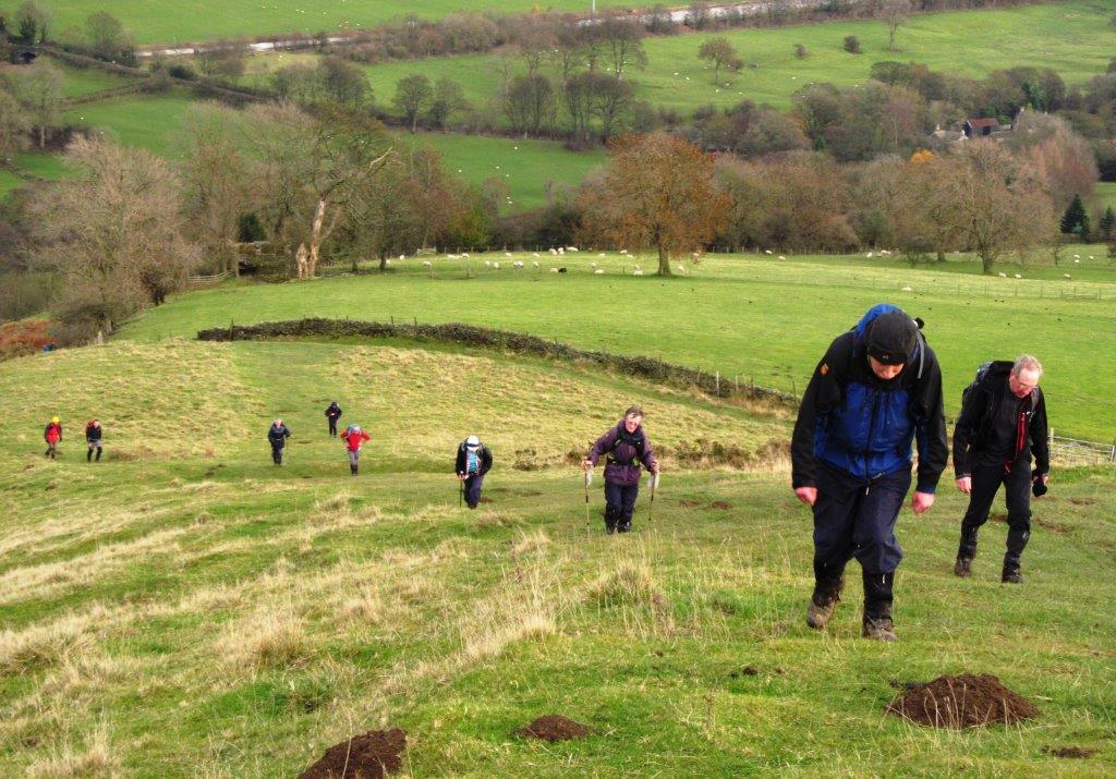
| cutting across to the Edge |
 |
| |
 |
| |
 |
| |
 |
| |
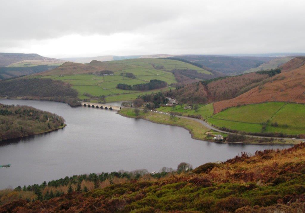 |
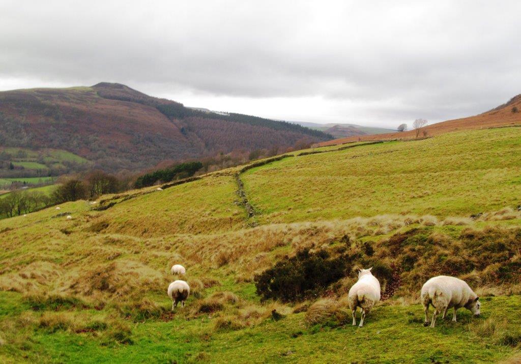
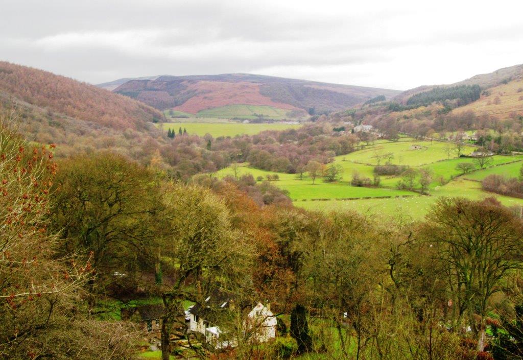
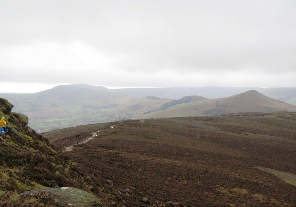
| Ladybower Reservoir |
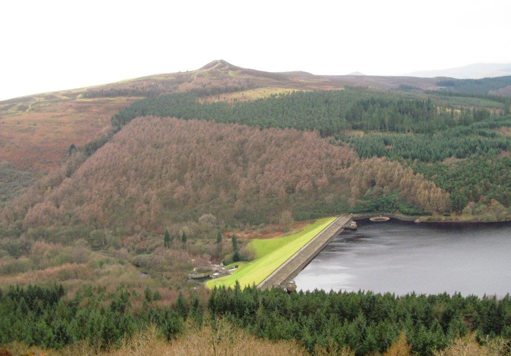 |
| Winhill Pike across the valley - Ladybower Reservoir dam
embankment below |
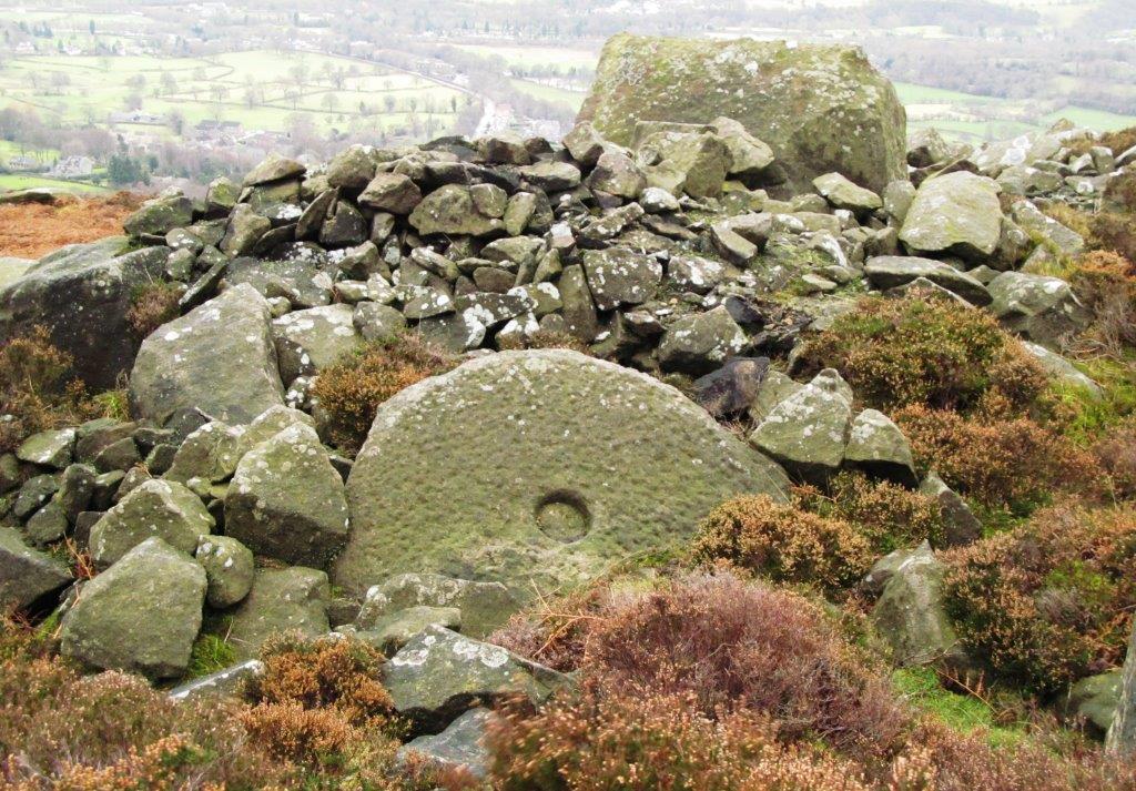 |
| uncompleted millstone on the Edge |
 |
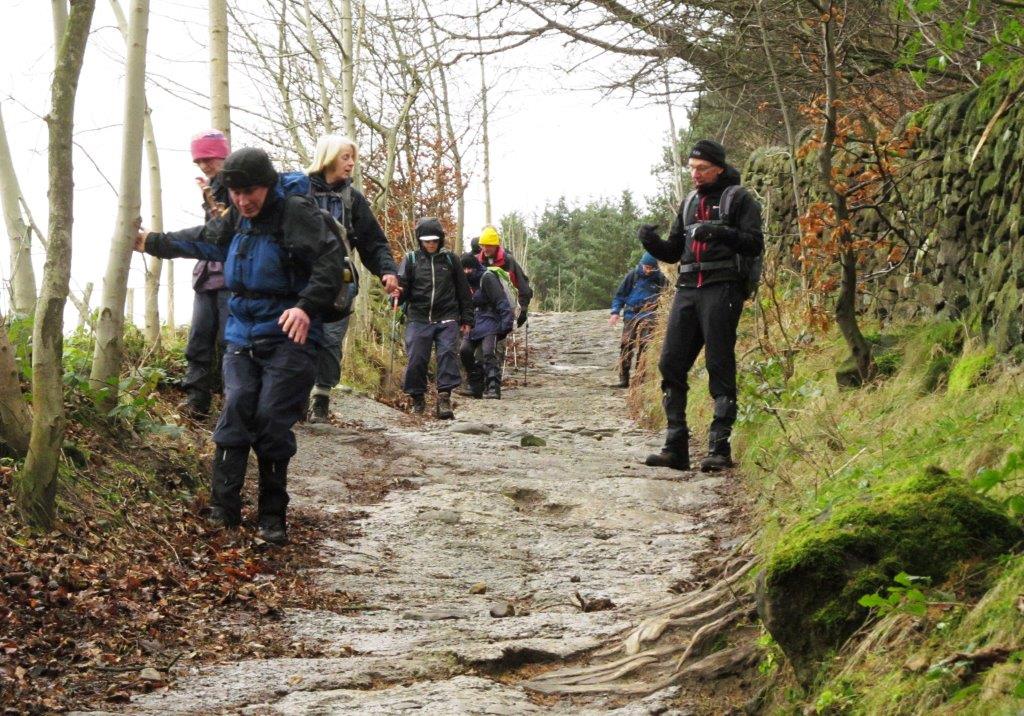
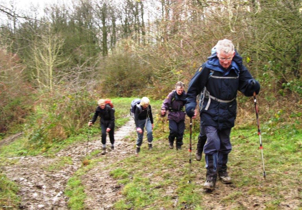
| descending from the Edge |
 |
| |
 |
| |
 |
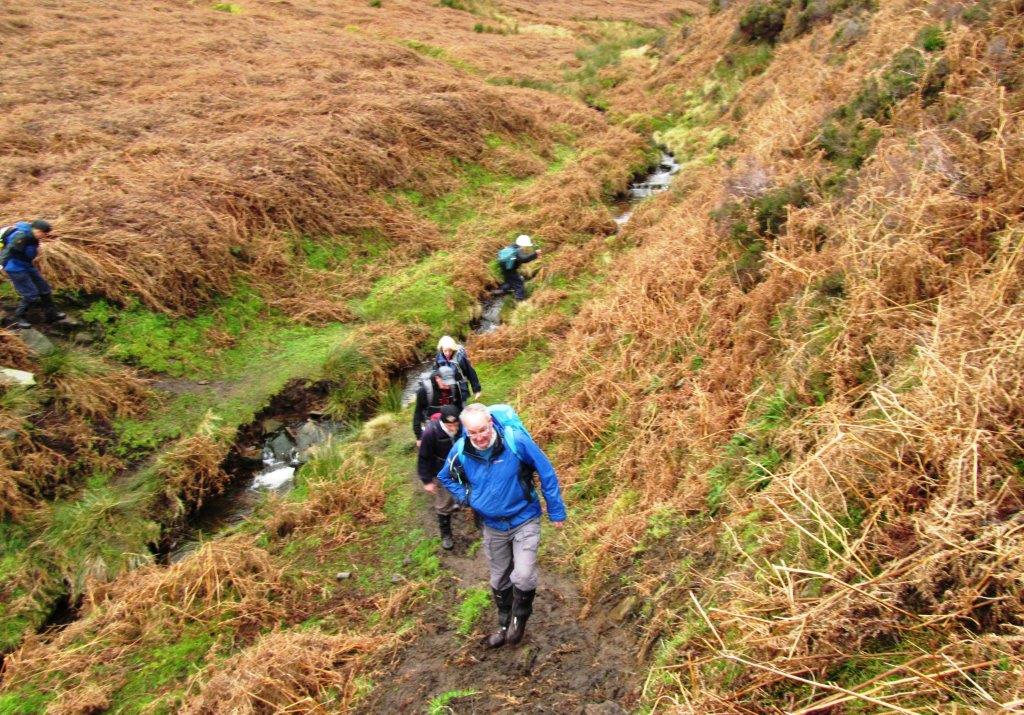
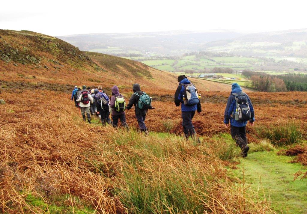
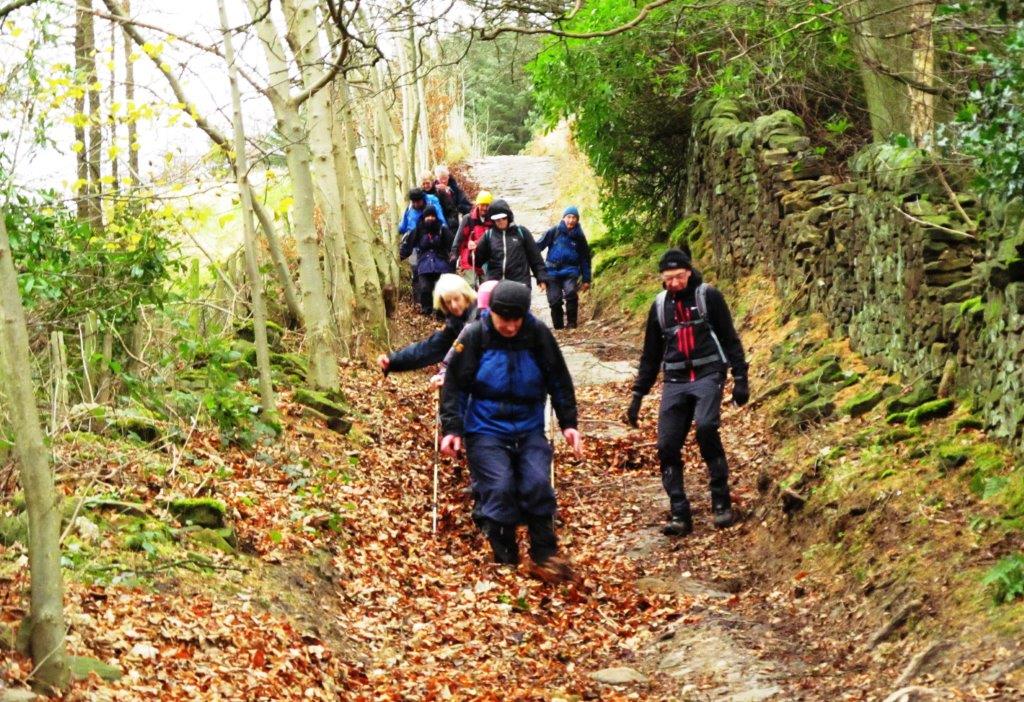
| going down Bamford Clough |
 |
| Winhill Pike seen from Bamford Clough |
 |
| |
 |
| |
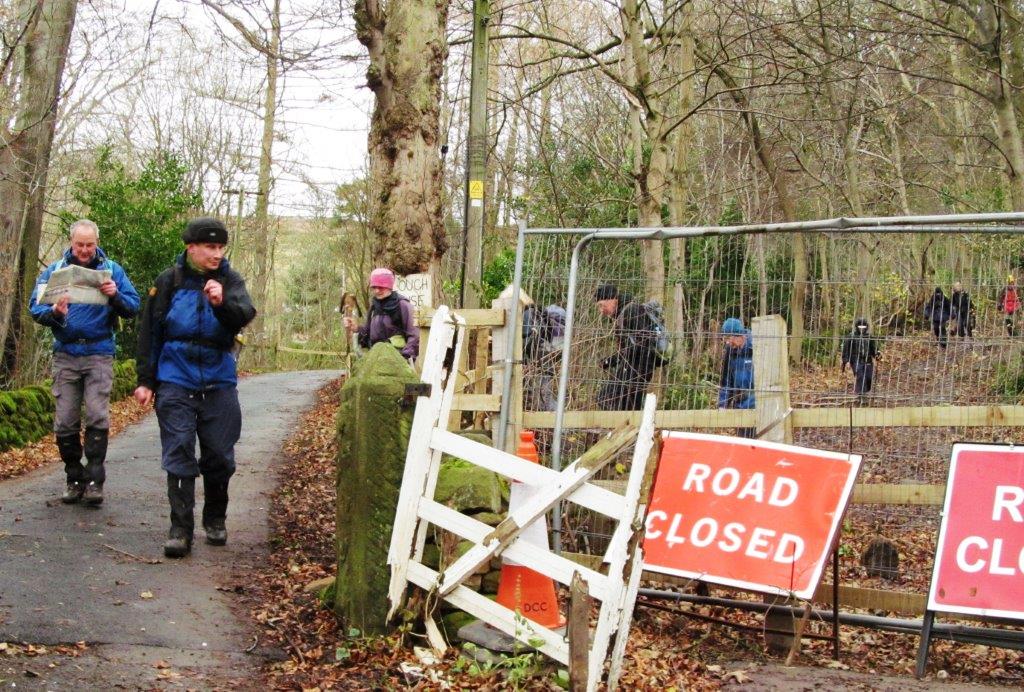 |
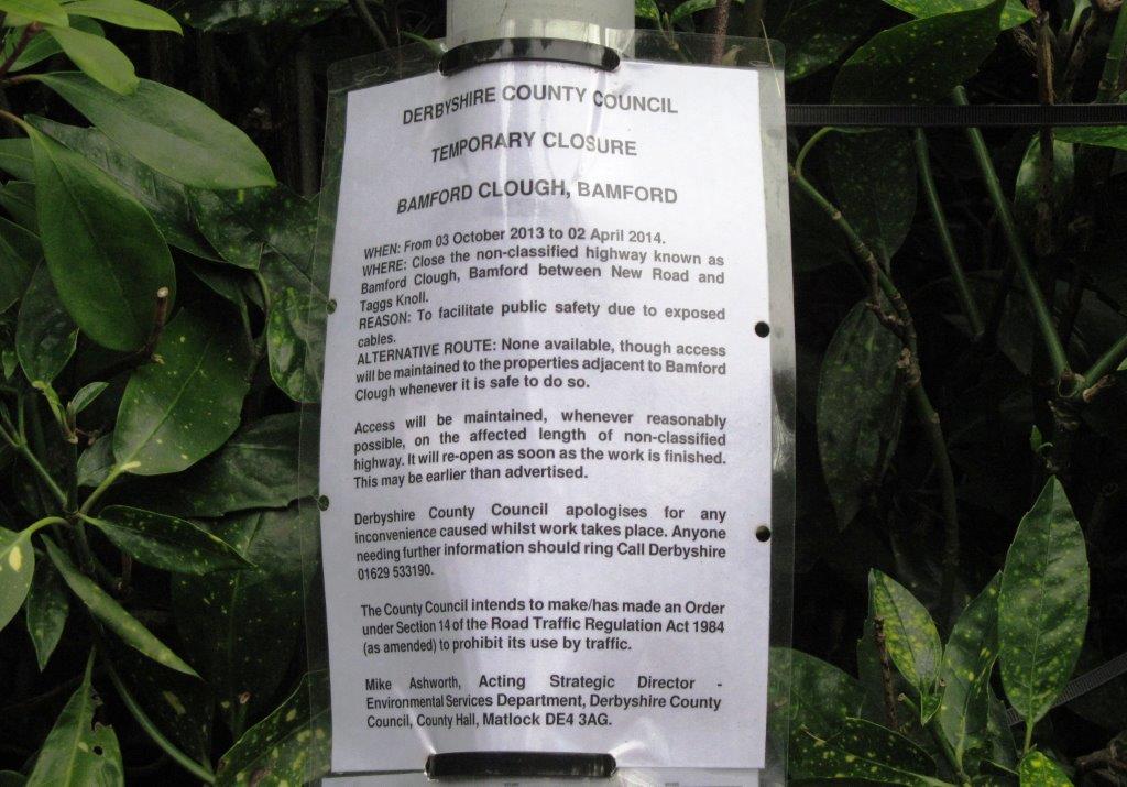
| discovered Clough 'closed' when reaching bottom |
 |
| |
 |
| |
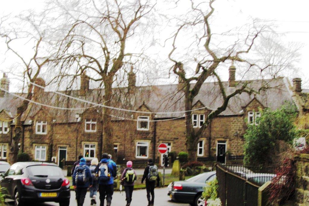 |
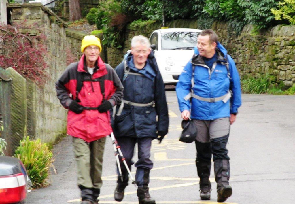
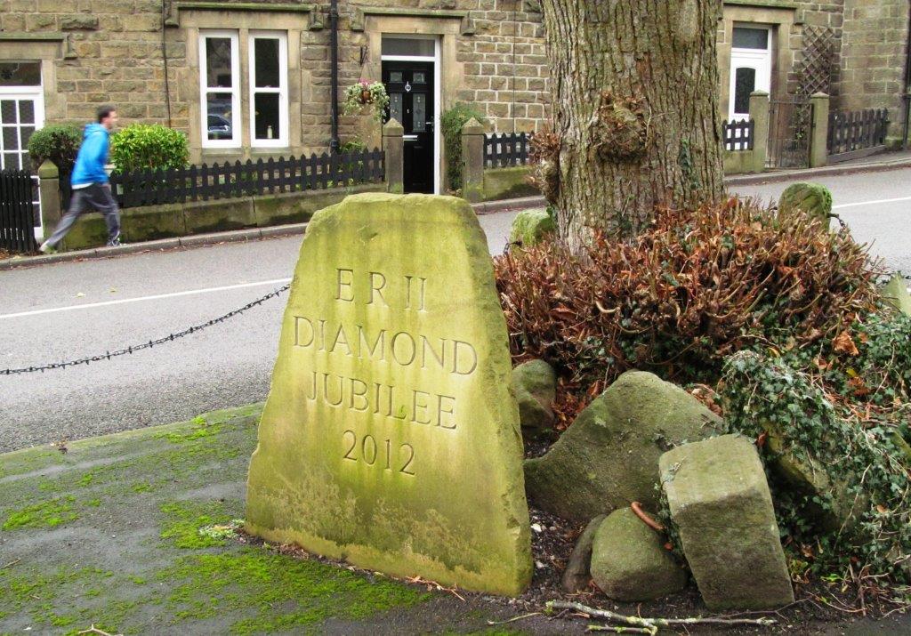
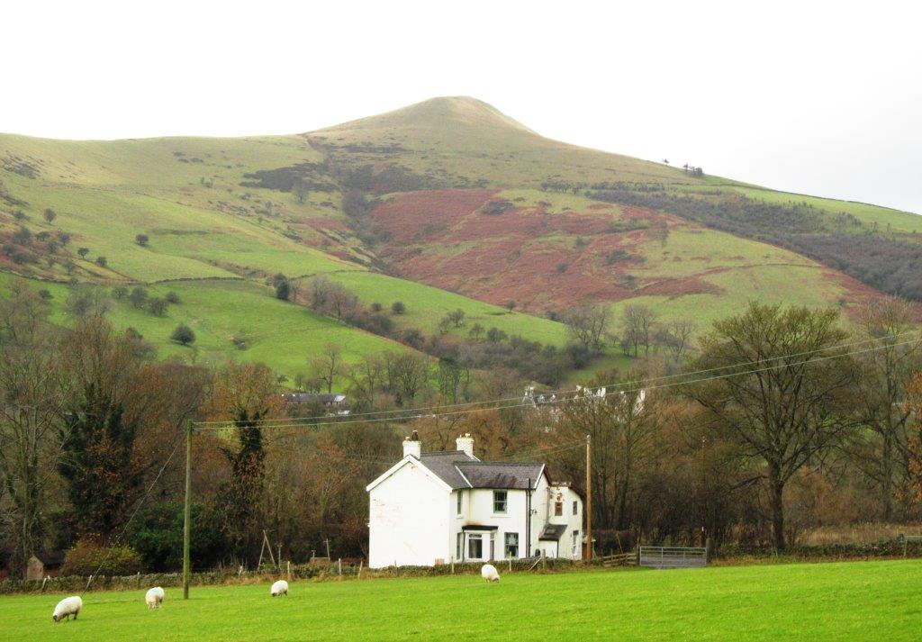
| Bamford Village |
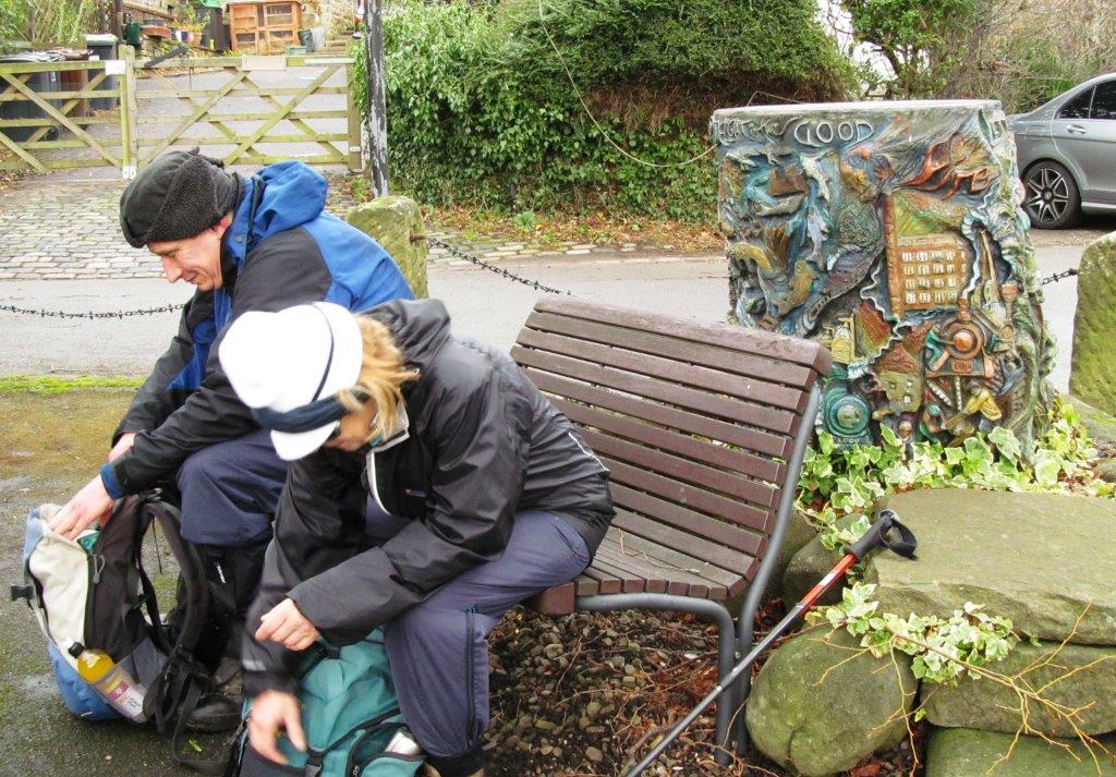 |
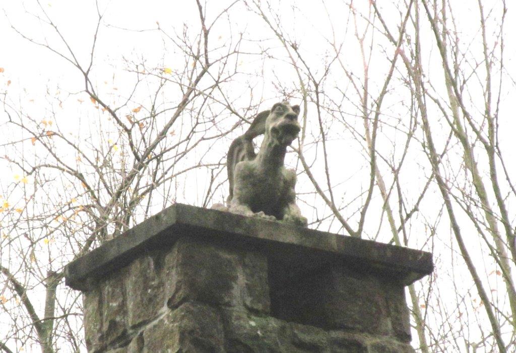
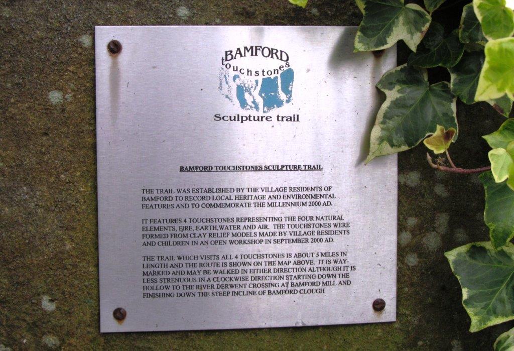
| a Touchstones sculpture |
 |
| |
 |
| |
 |
| |
 |
| |
 |
| |
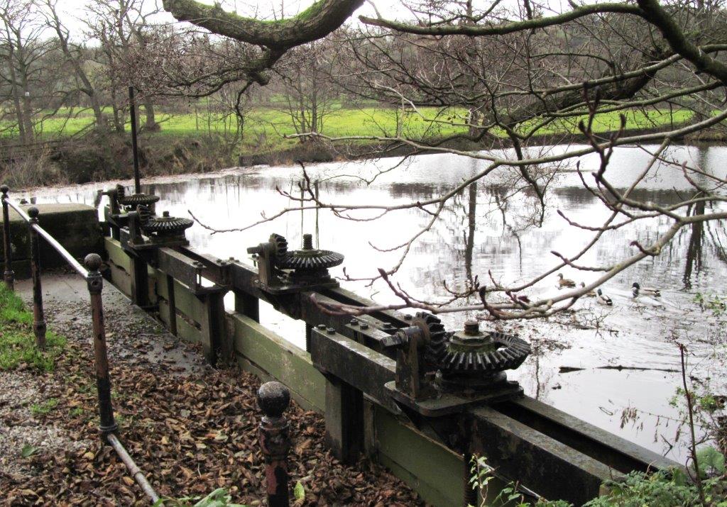 |
| Bamford Mill headrace pond |
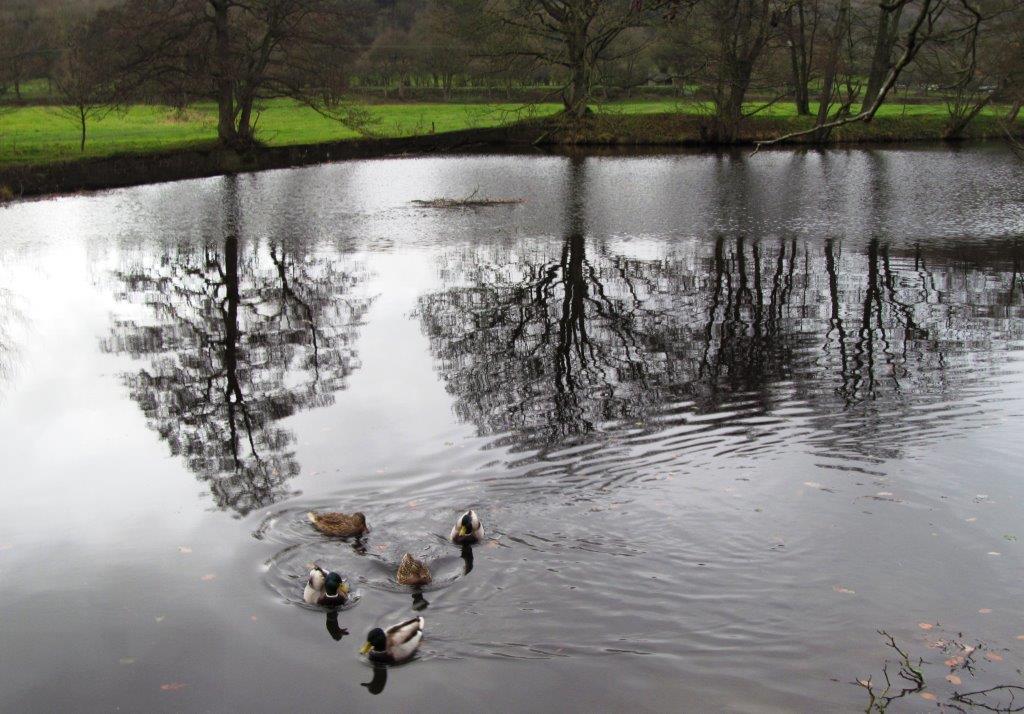 |
| |
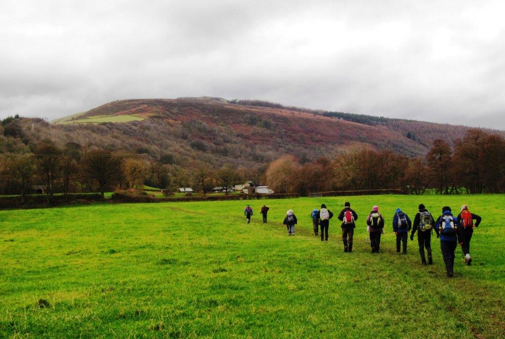 |
| leaving the pond - heading for Winhill Pike |
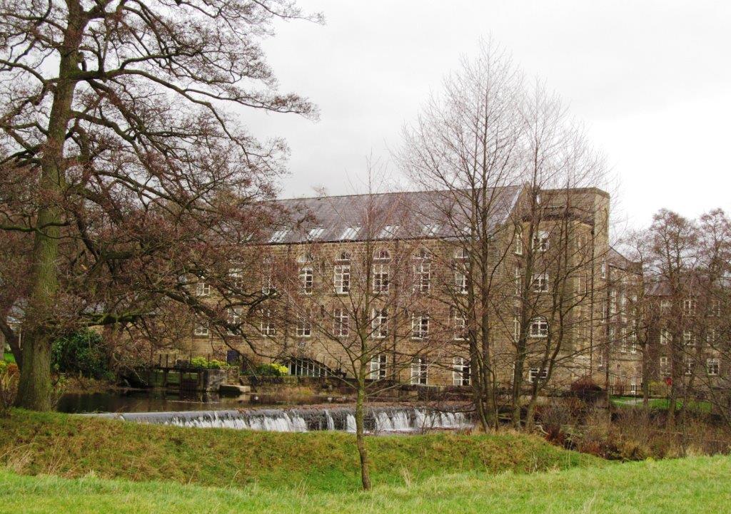 |
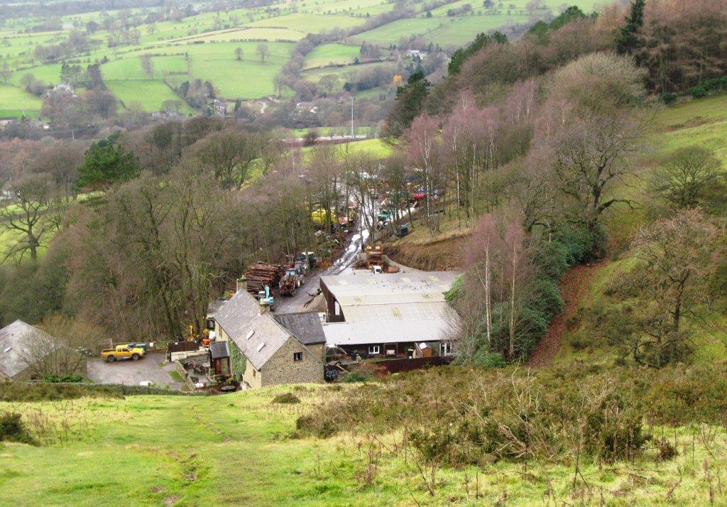
| looking back at Bamford Mill |
 |
| |
 |
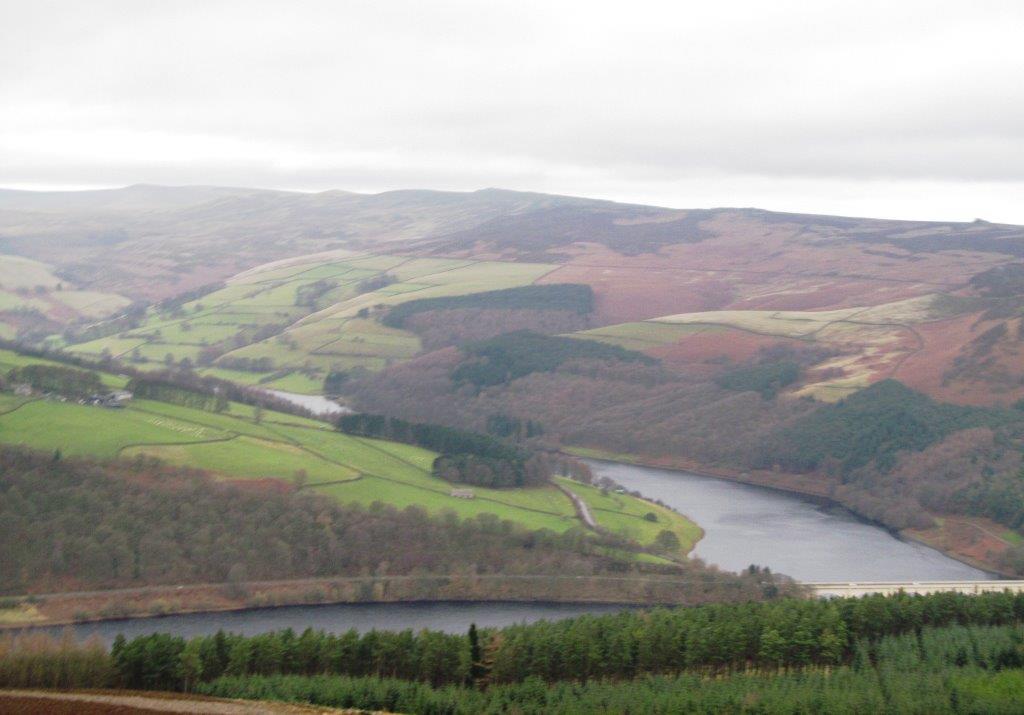
| Ladybower Reservoir embankment acoss valley- Derwent Edge
above behind |
 |
| |
 |
| |
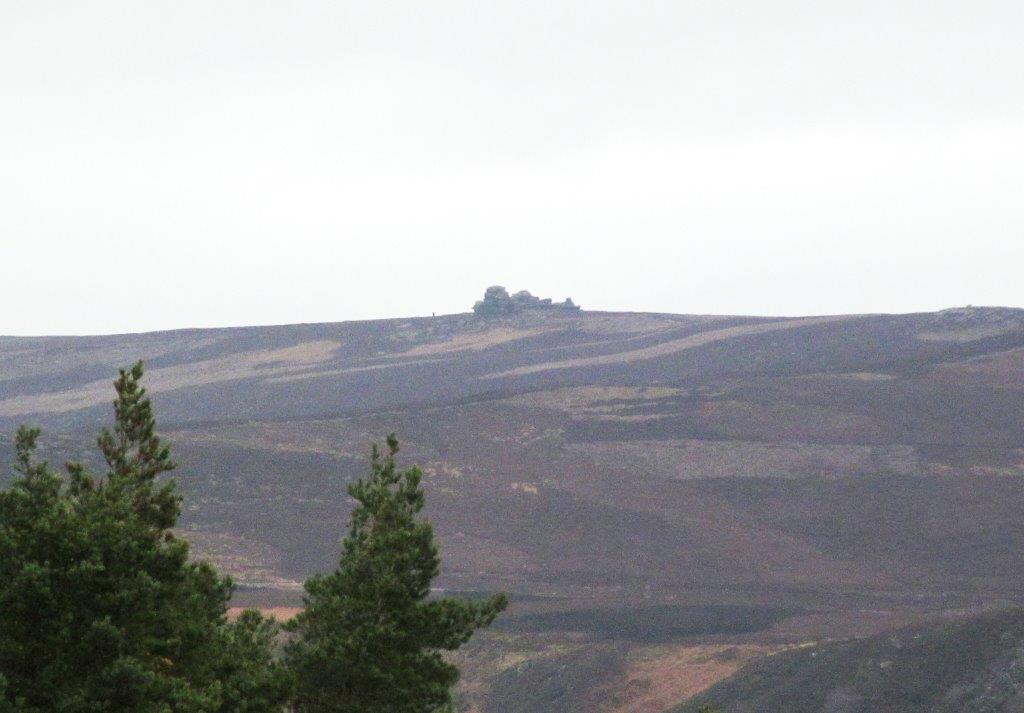 |
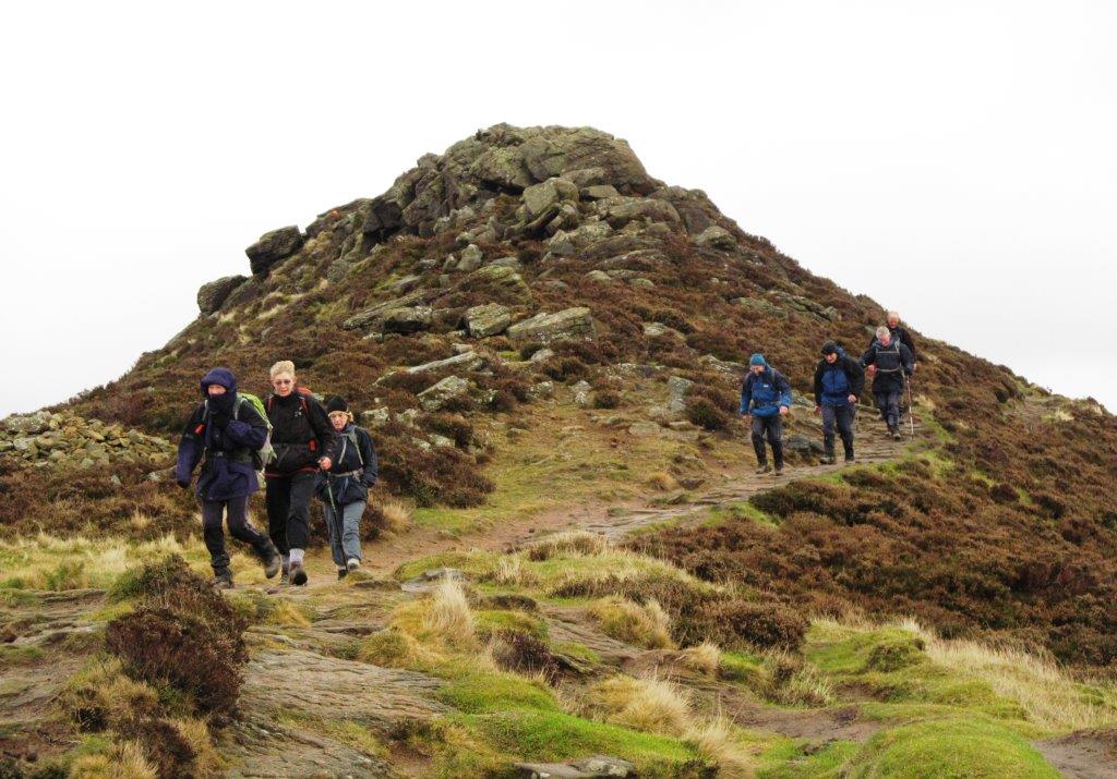
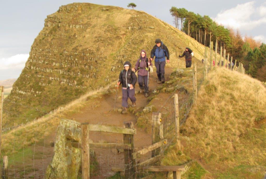
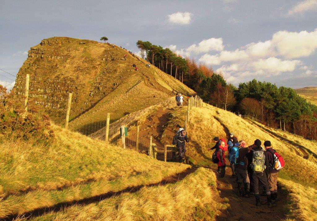
| Wheelstones on Derwent Edge |
 |
| |
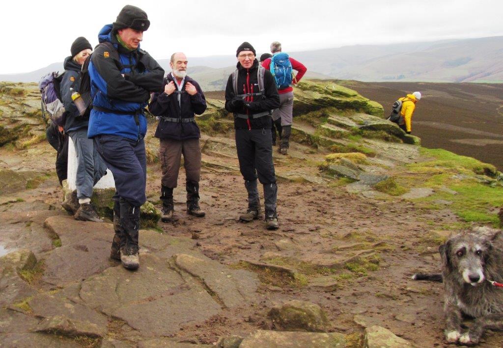 |
| atop Win Hill Pike |
 |
| |
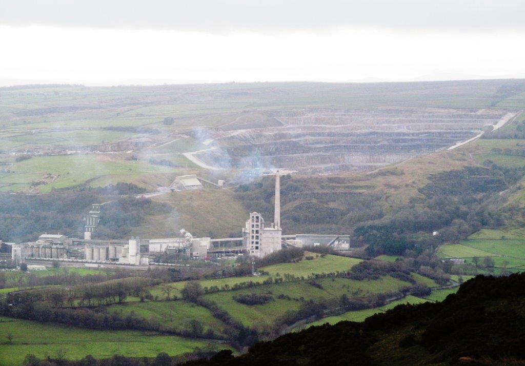 |
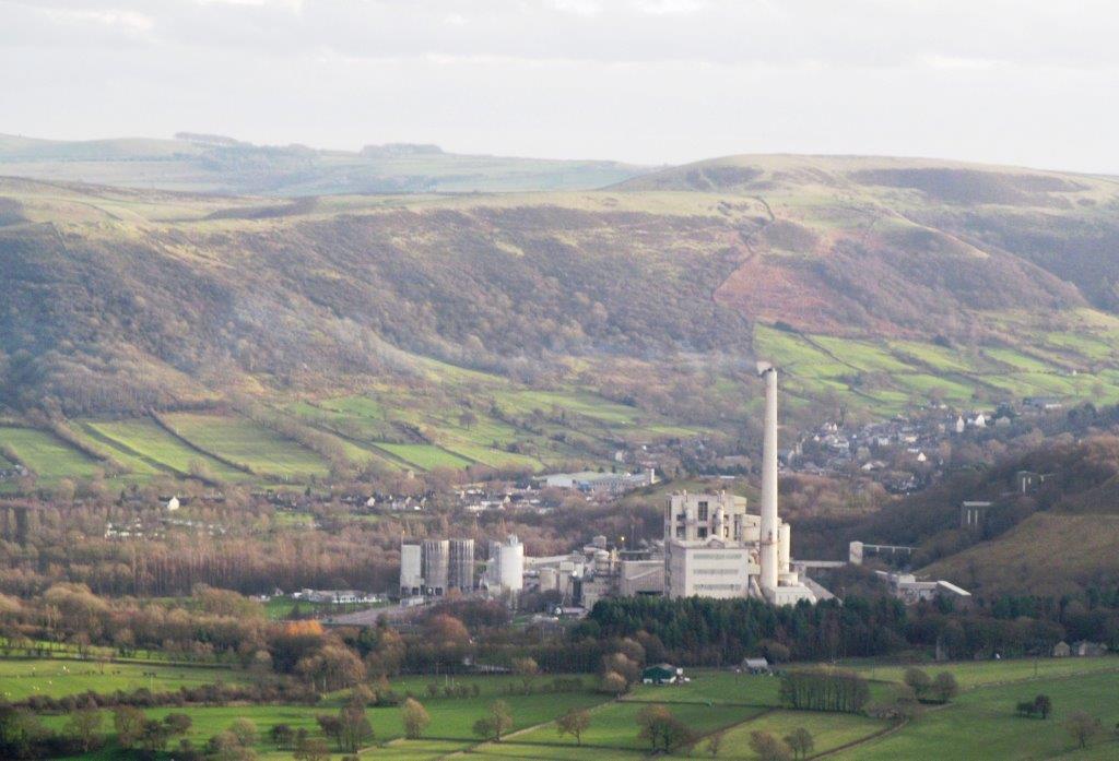
| Lafarge cement works seen from Win Hill Pike |
 |
| view from Winhill Pike of Lose Hill top right - the next
hill to climb |
 |
| Ladybower Reservoir below Winhill Pike (Crookhill Farm to
left halfway up) - Wheelstones just visible at top right |
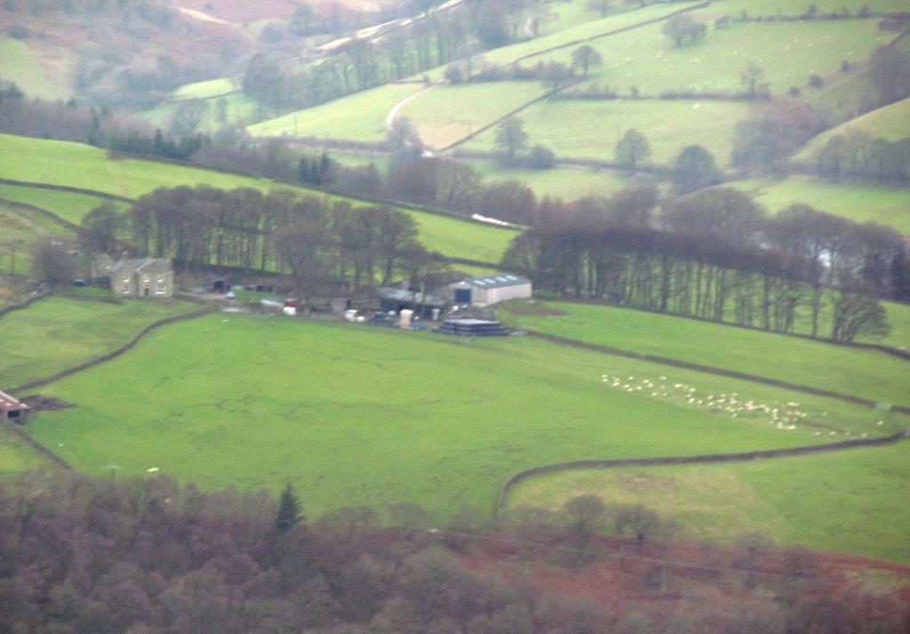 |
| zoomed in to Crookhill Farm |
 |
| down from Win Hill Pike |
 |
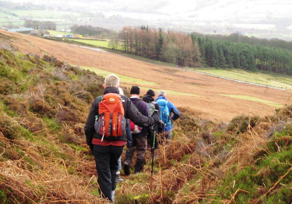
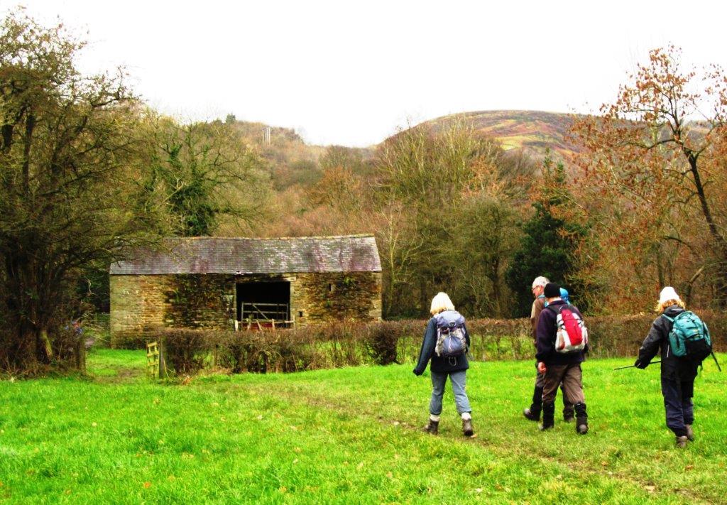
| descending to Twitchel Farm |
 |
| |
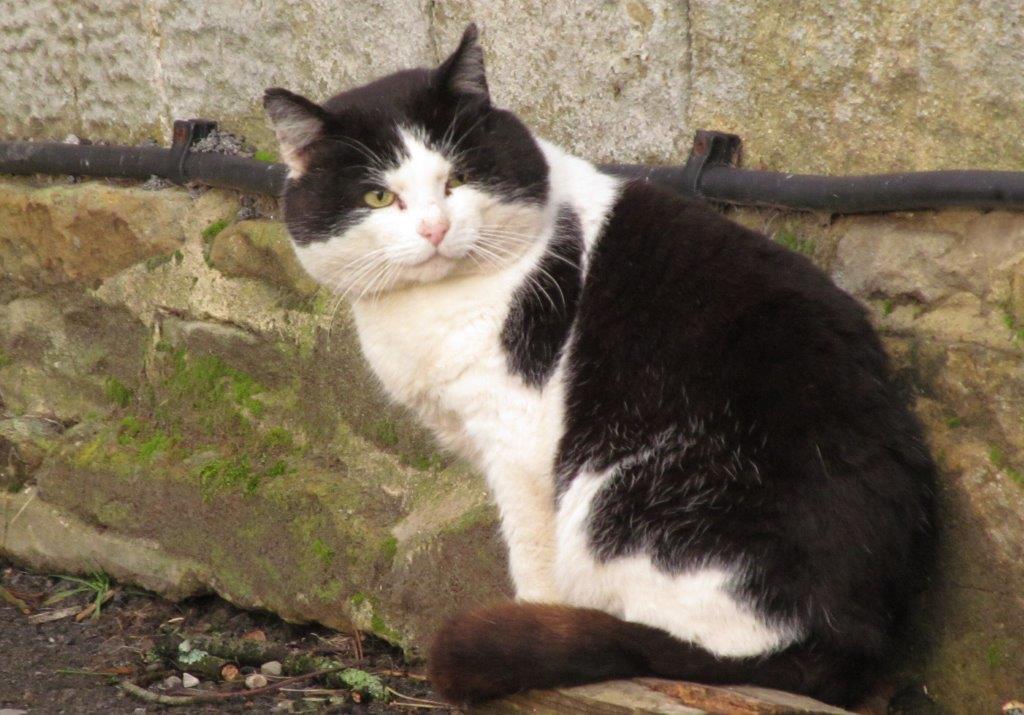 |
| one of several cats at Twitchell farm |
 |
| down road from Twitchell Farm |
 |
| |
 |
| |
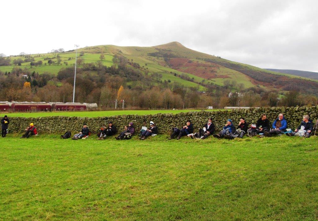 |
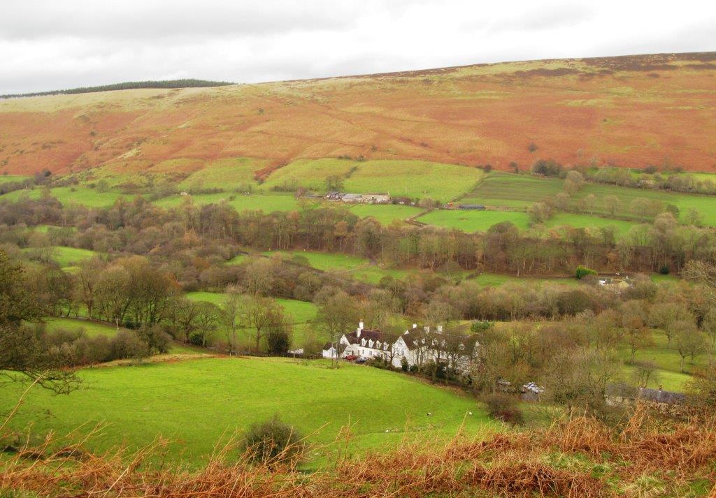
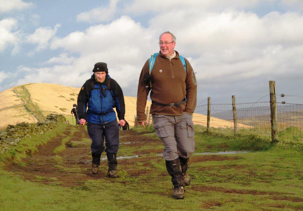
| lunch break - next hill - Lose Hill behind |
 |
| |
 |
| |
 |
| River Noe upstream of Townhead Bridge |
 |
| |
 |
| |
 |
| |
 |
| |
 |
| |
 |
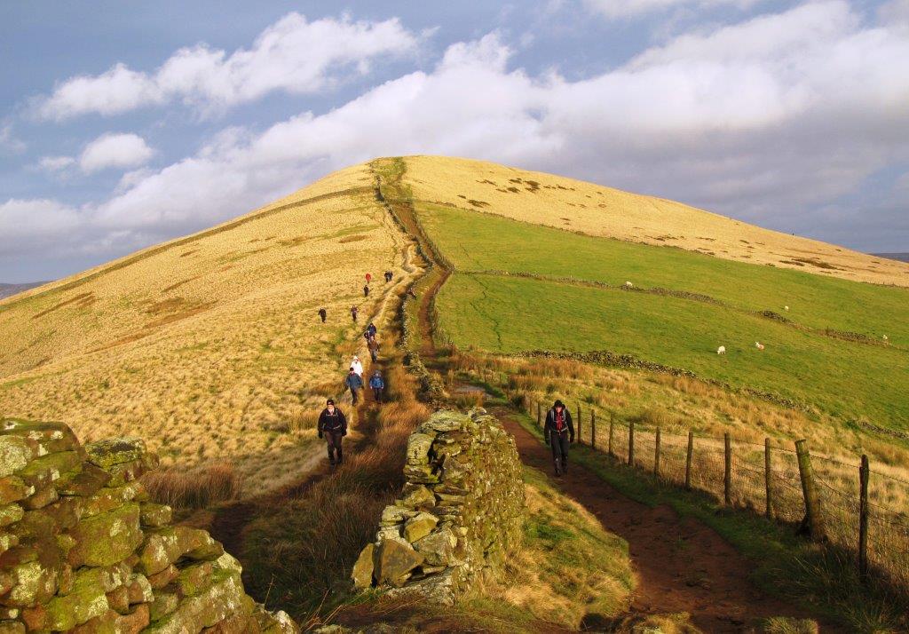
| reaching the top of Lose Hill |
 |
| atop Lose Hill (also called Wards Place) |
 |
| looking across at Winhill Pike |
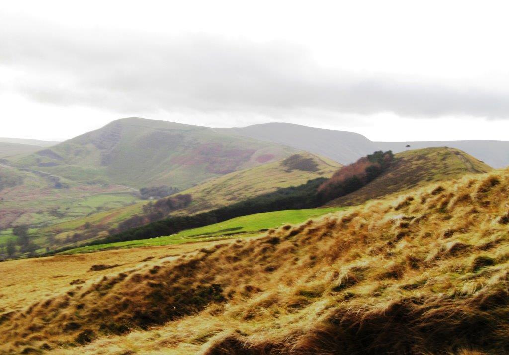 |
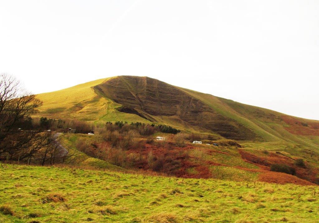
| looking toward Mam Tor |
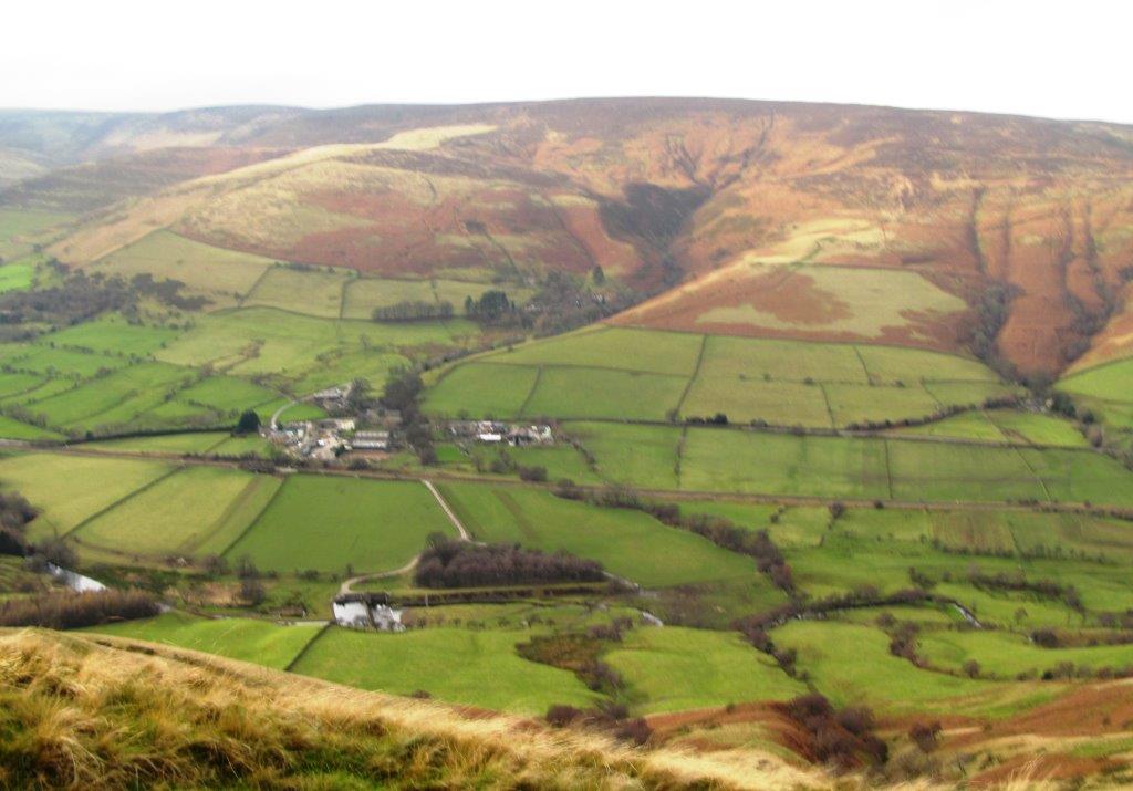 |
| a view into Edale valley |
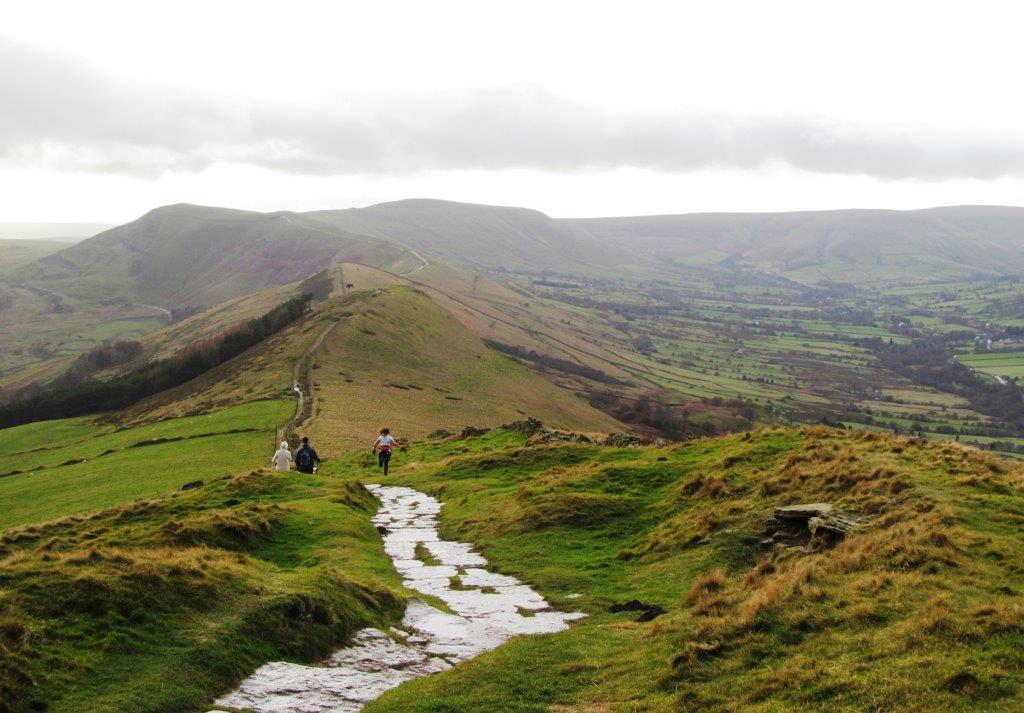 |
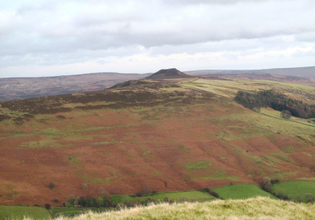
| path toward Back Tor (to right of trees), path to Mam Tor
just visible in distance |
 |
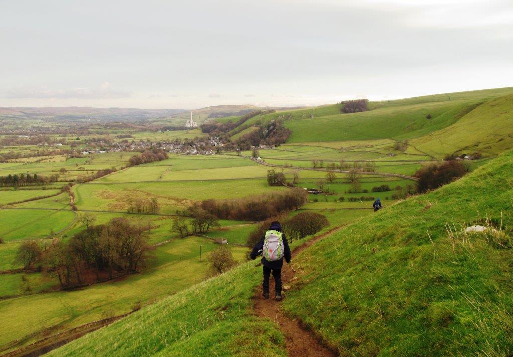
| down from Lose Hill |
 |
| |
 |
| |
 |
| |
 |
| Back Tor behind |
 |
| |
 |
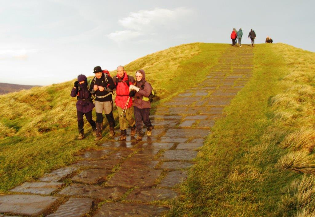
| past Hollins Cross - climbing up to Mam Tor |
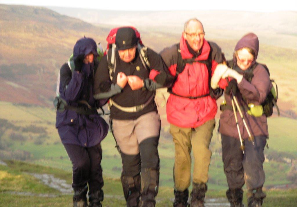 |
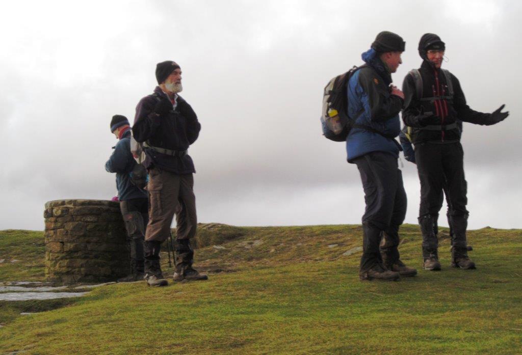
| arms linked to resist strong wind |
 |
| down from Mam Tor |
 |
| |
 |
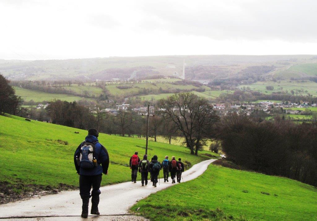
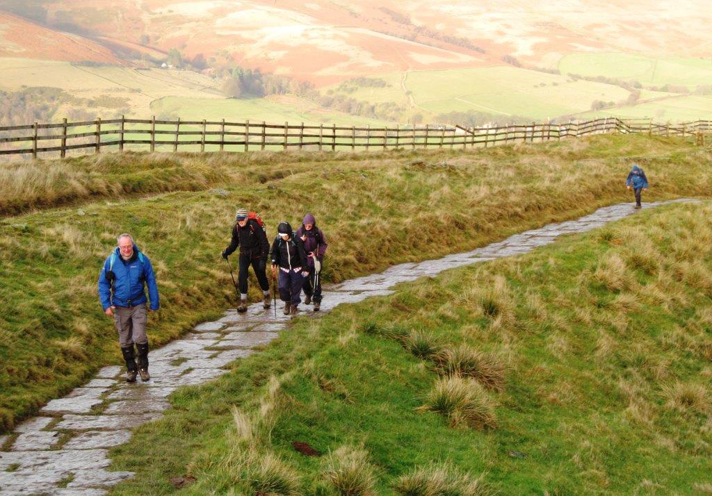
| road through Mam Nik down to Edale |
 |
| looking back at Back Tor and Lose Hill |
 |
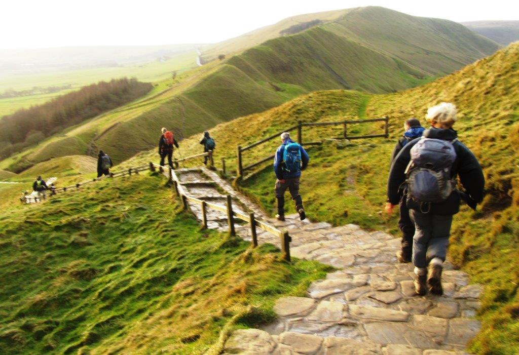
| passing below Mam Tor |
 |
| descending to Castleton in distance |
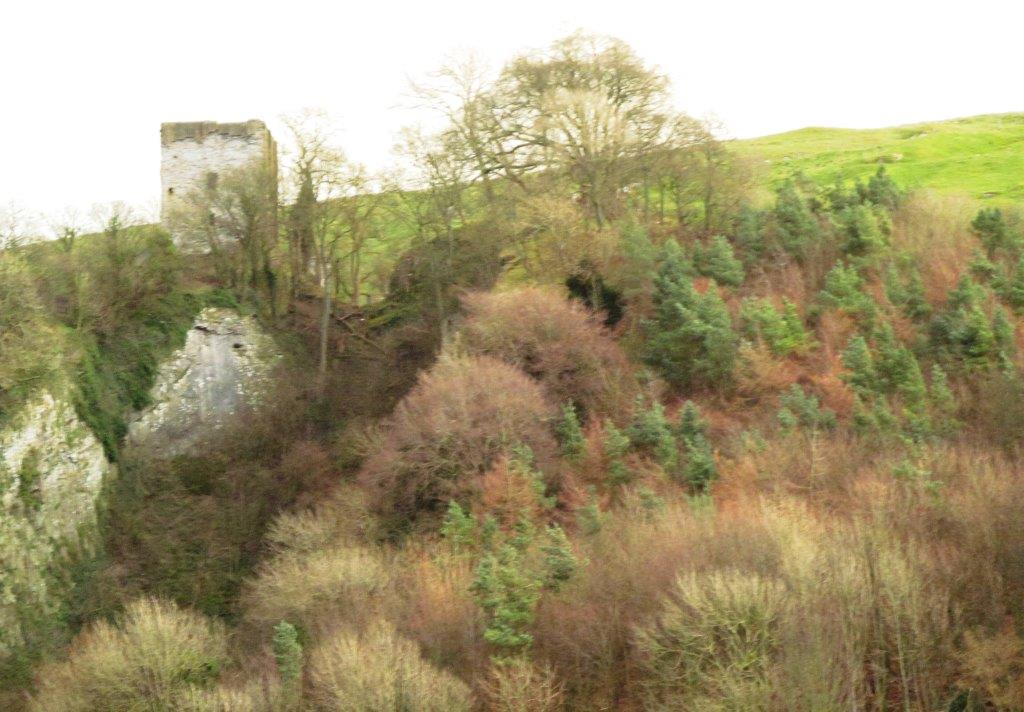 |
| Perevil Castle above Castleton |
homepage - Day Walks
Index 2013 - contact me at