homepage - Day Walks
Index 2013 - contact me at

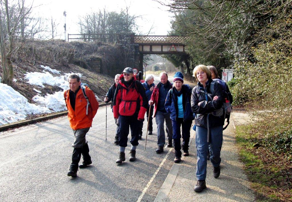
10th April 2013 - Edale Stn, Grindslow Knoll, Kinder Low,
Kinder Downfall, Edale Moor, top of Grindsbrook Clough, Nether Top, The Nab,
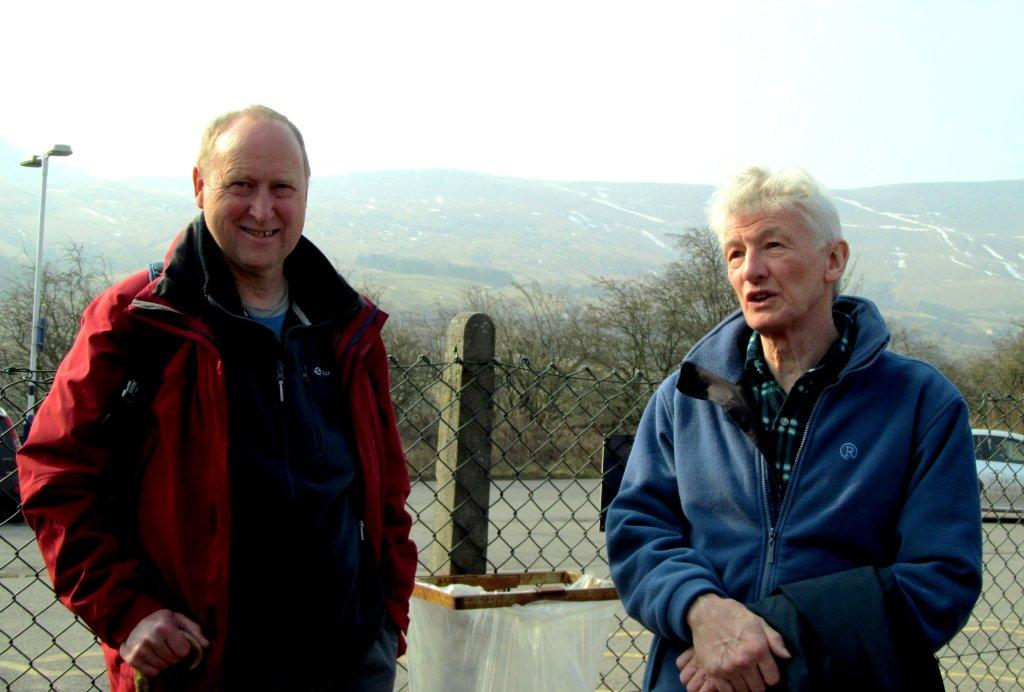
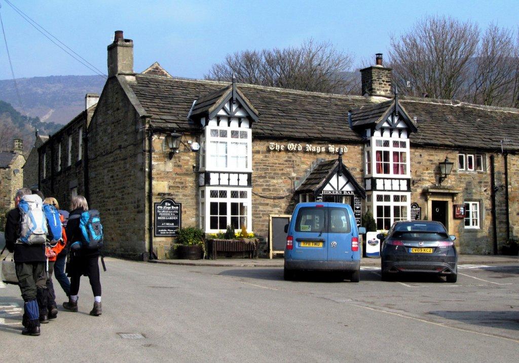
Edale Stn - leader Geoff Hibberd - Wednesday.
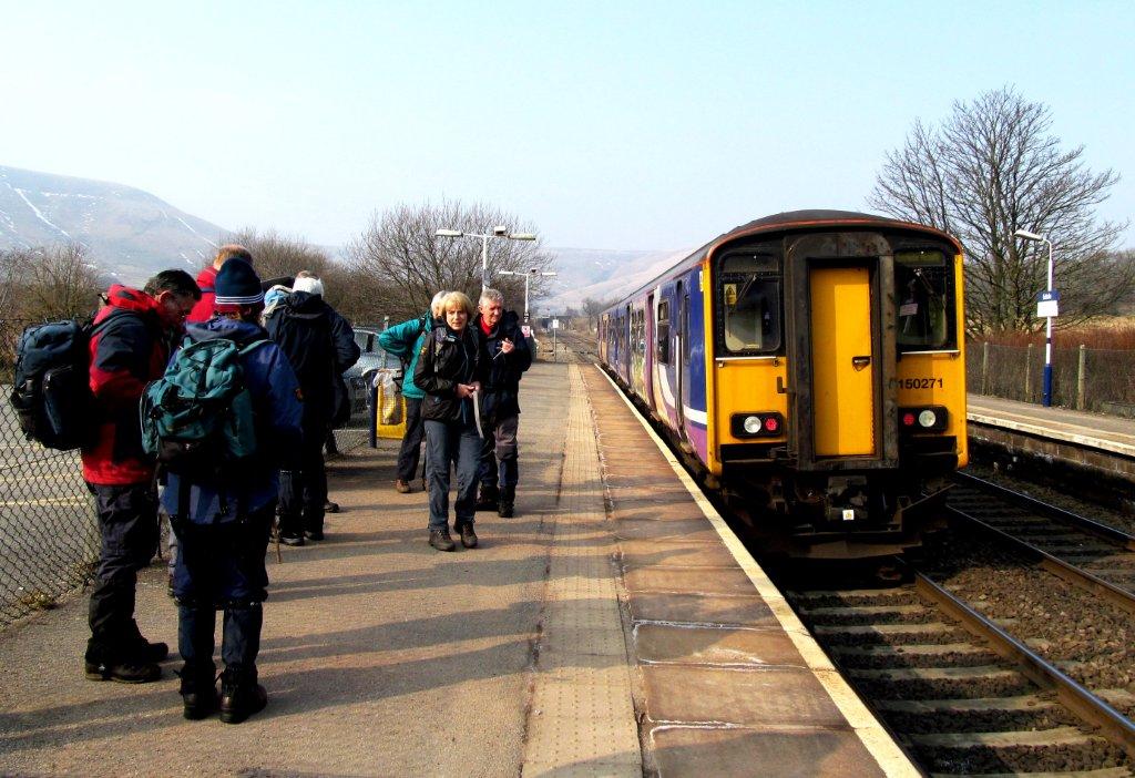 |
| Edale Station |
 |
| |
 |
| |
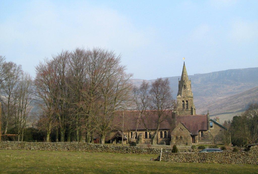 |
| Edale Church |
 |
| |
 |
| |
 |
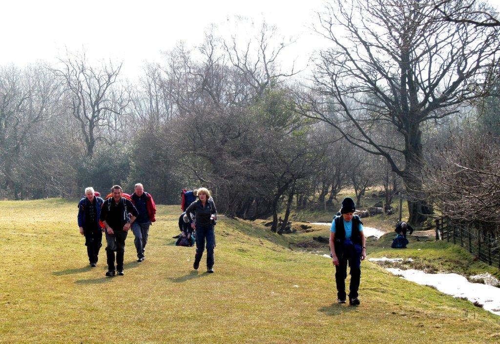
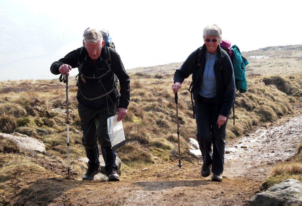
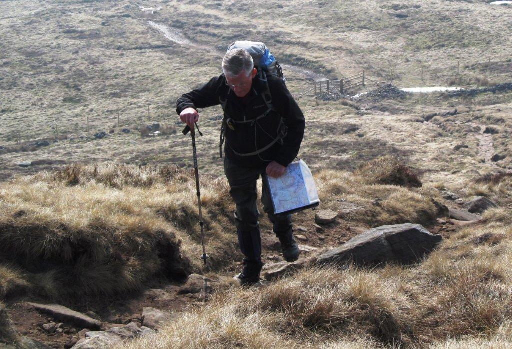
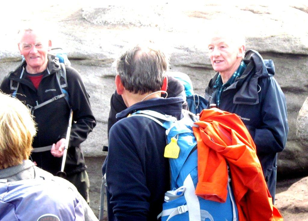
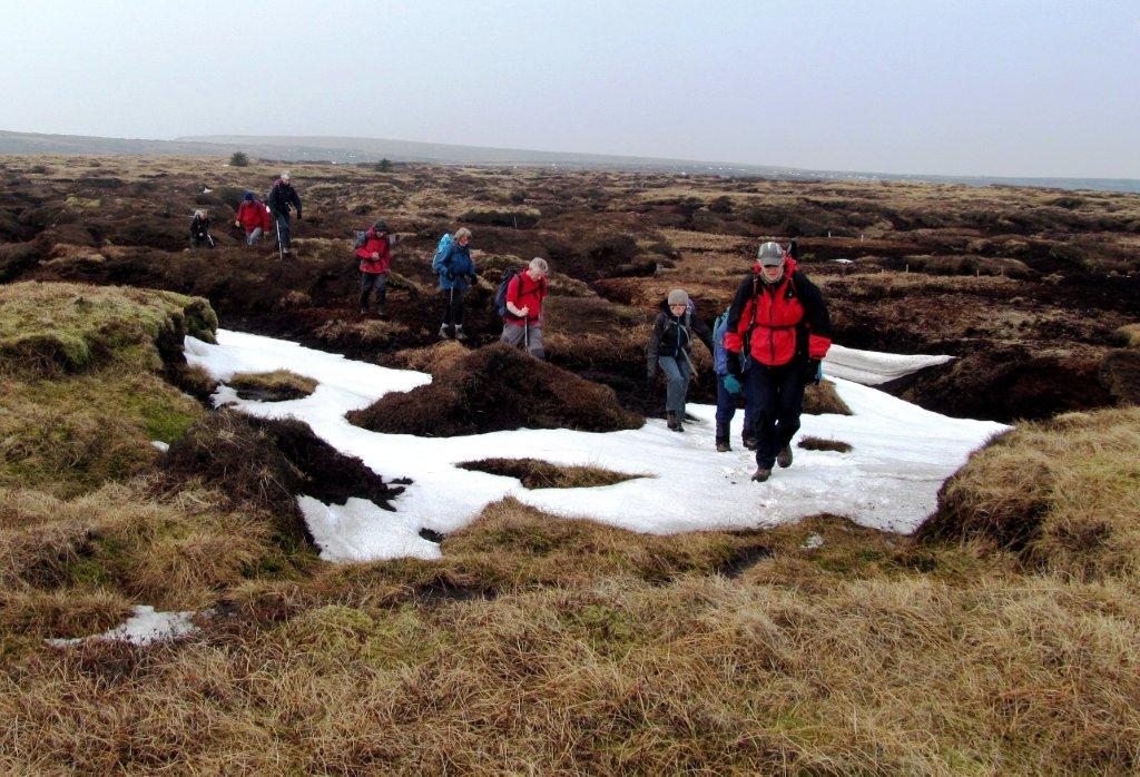
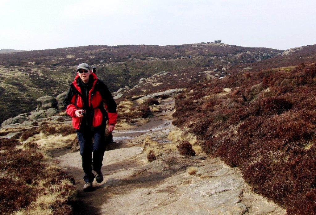
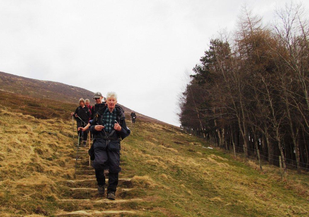
| starting up Grindslow Knoll |
 |
| |
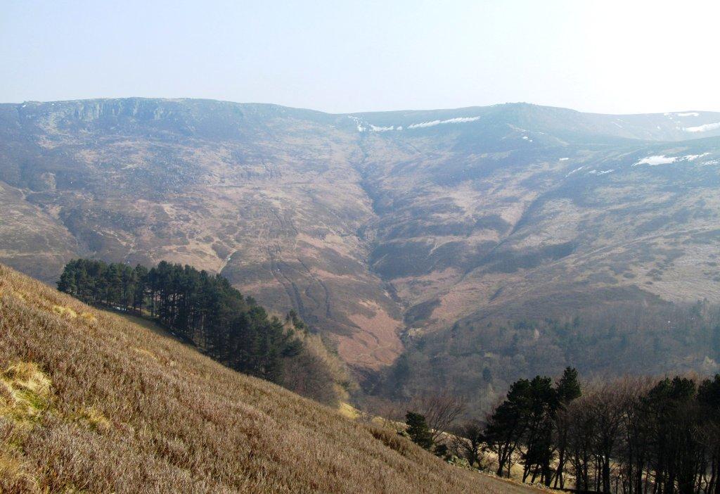 |
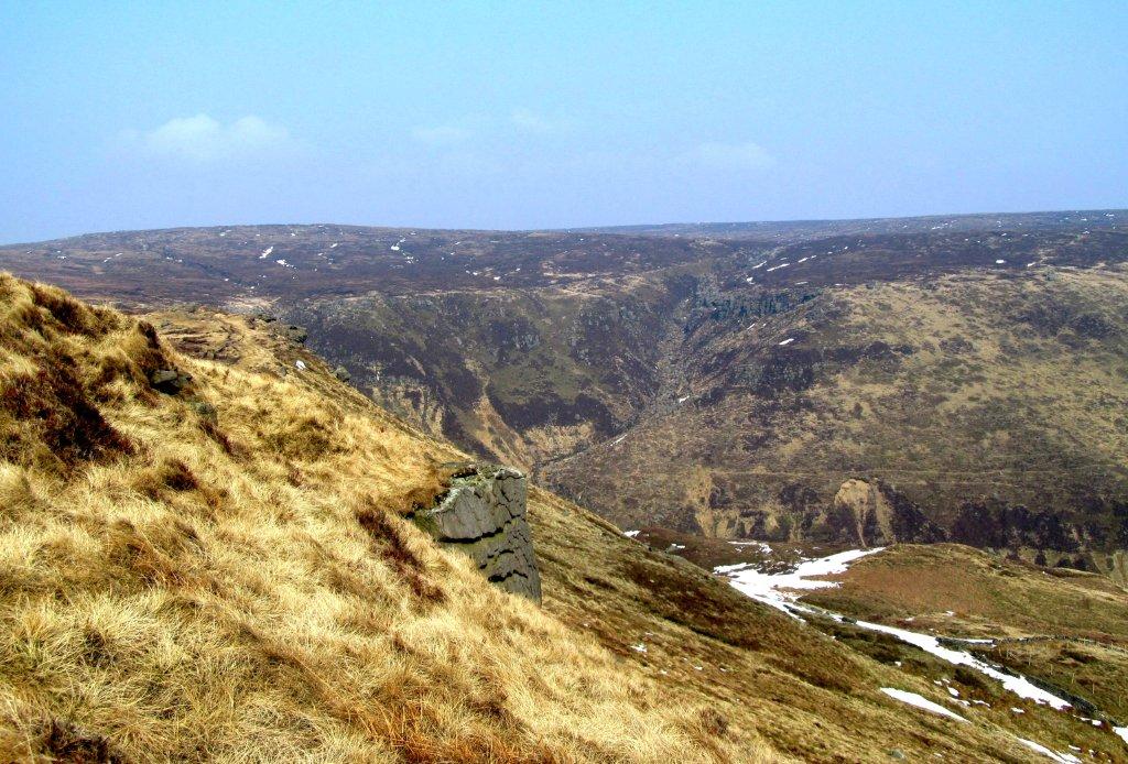
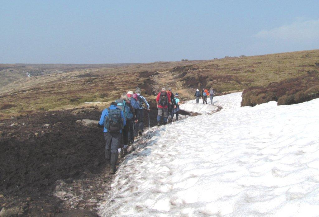
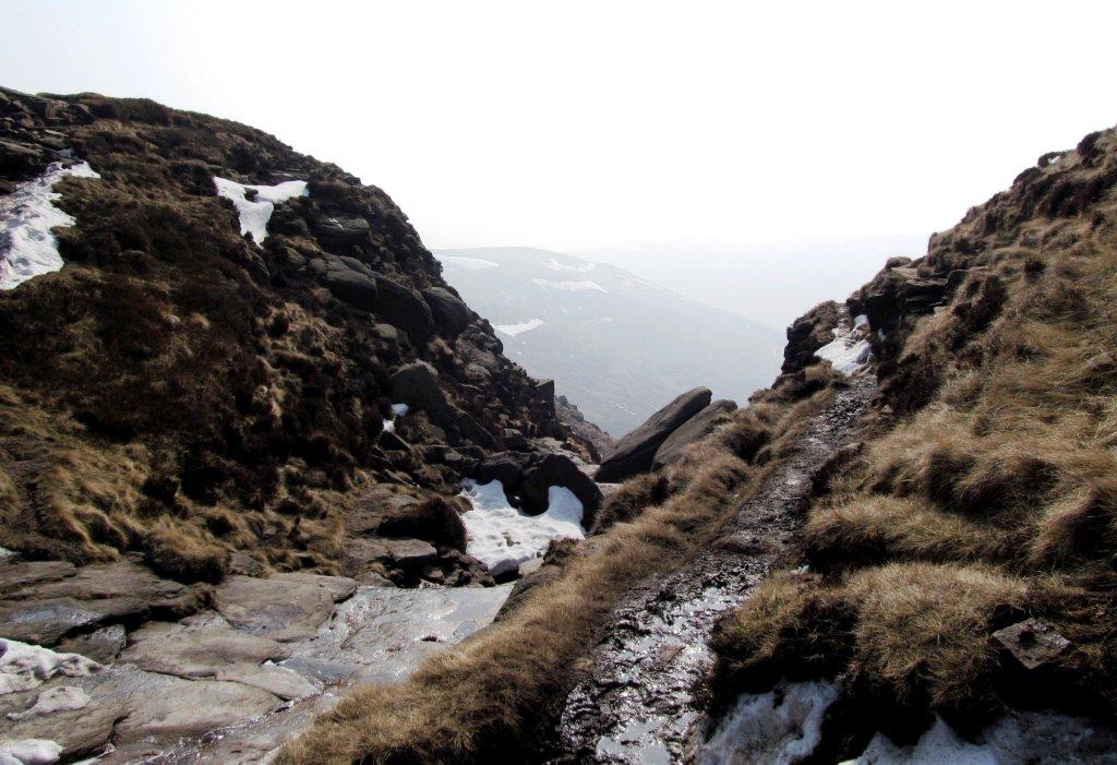
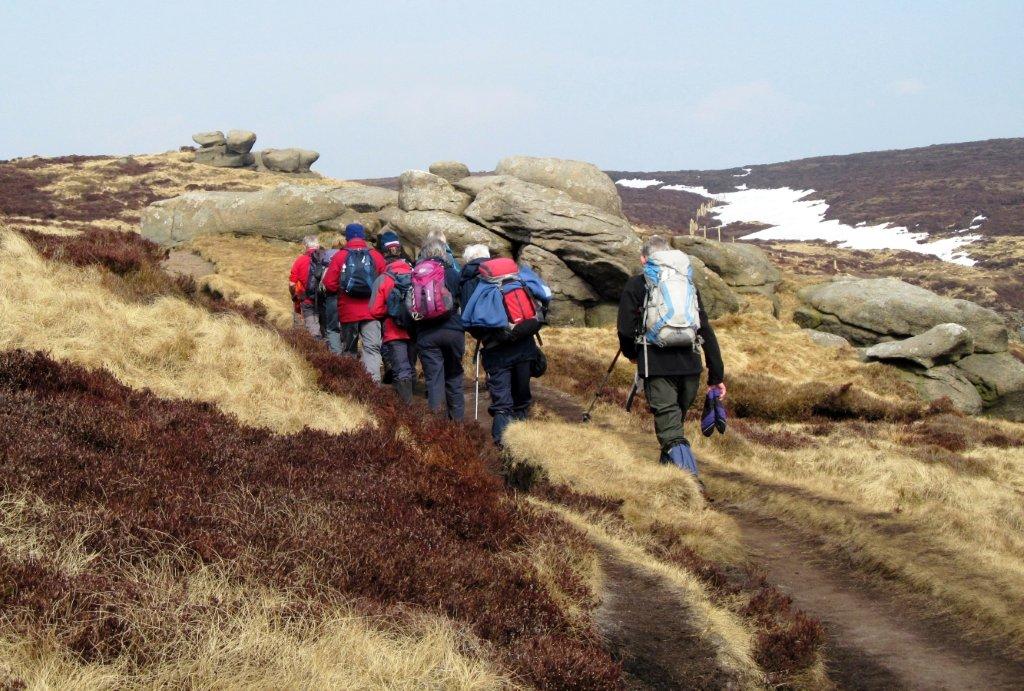
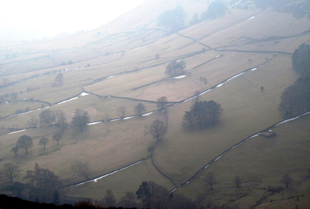
| looking into Gindsbrook Clough |
 |
| |
 |
| |
 |
| |
 |
| |
 |
| |
 |
| |
 |
| |
 |
| |
 |
| |
 |
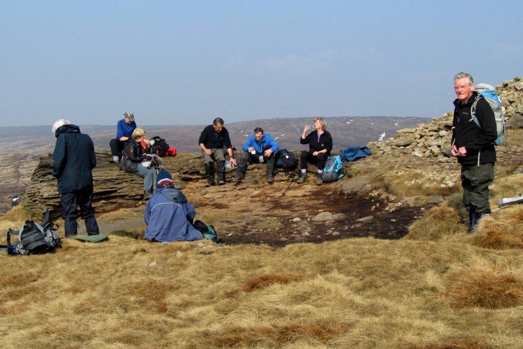
| atop Grindslow Knoll |
 |
| |
 |
| |
 |
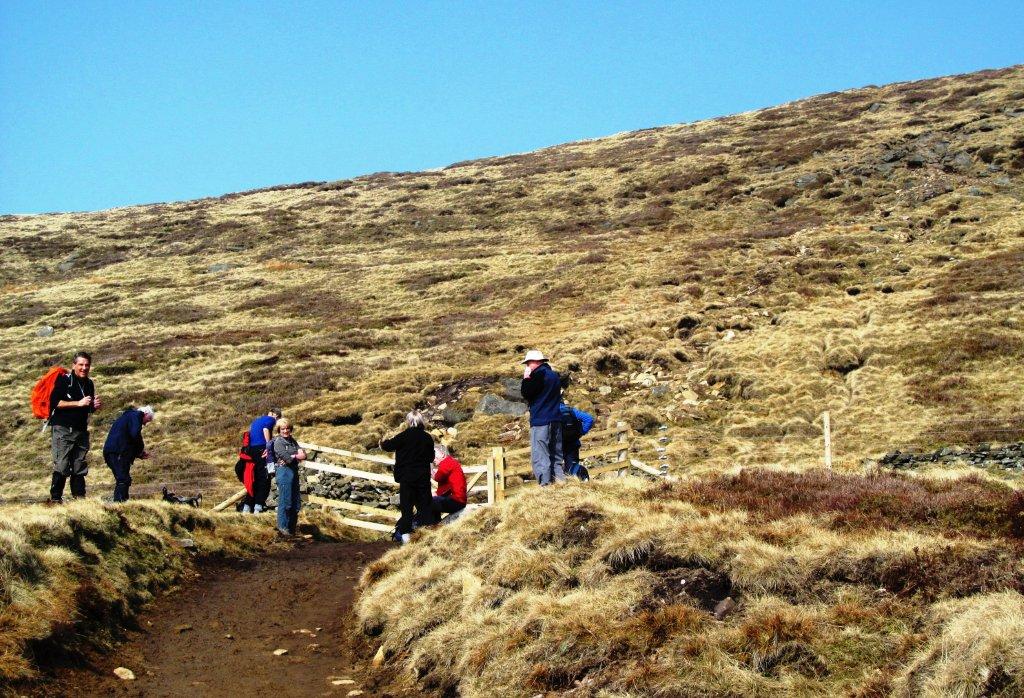
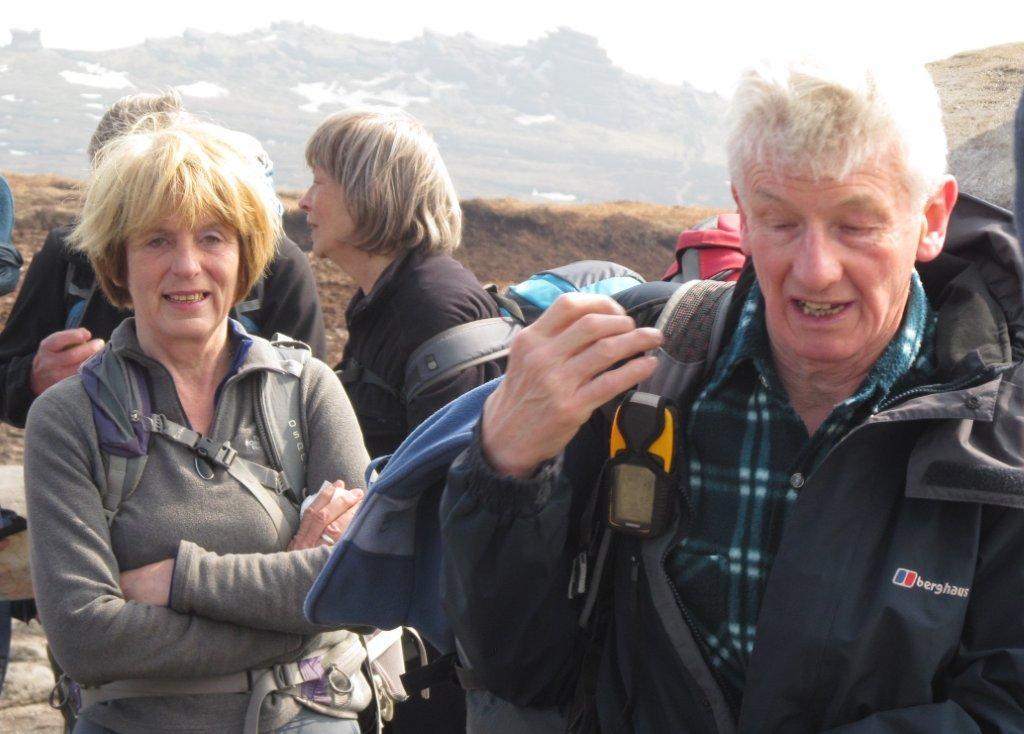
| leaving Grindslow Knoll |
 |
| |
 |
| |
 |
| |
 |
| |
 |
| |
 |
| |
 |
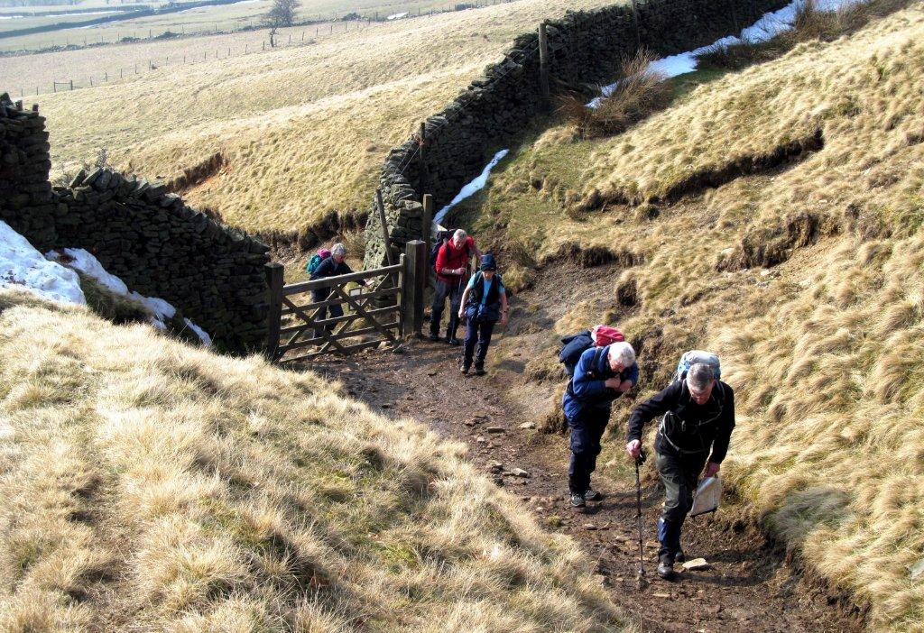
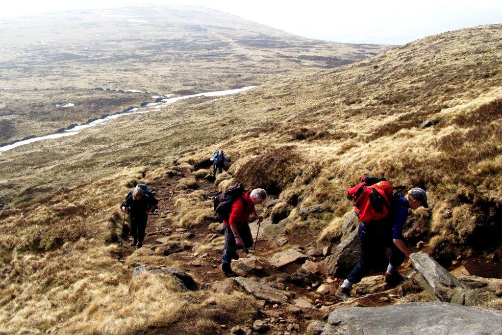
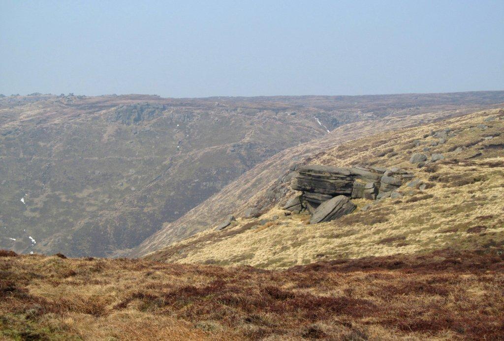
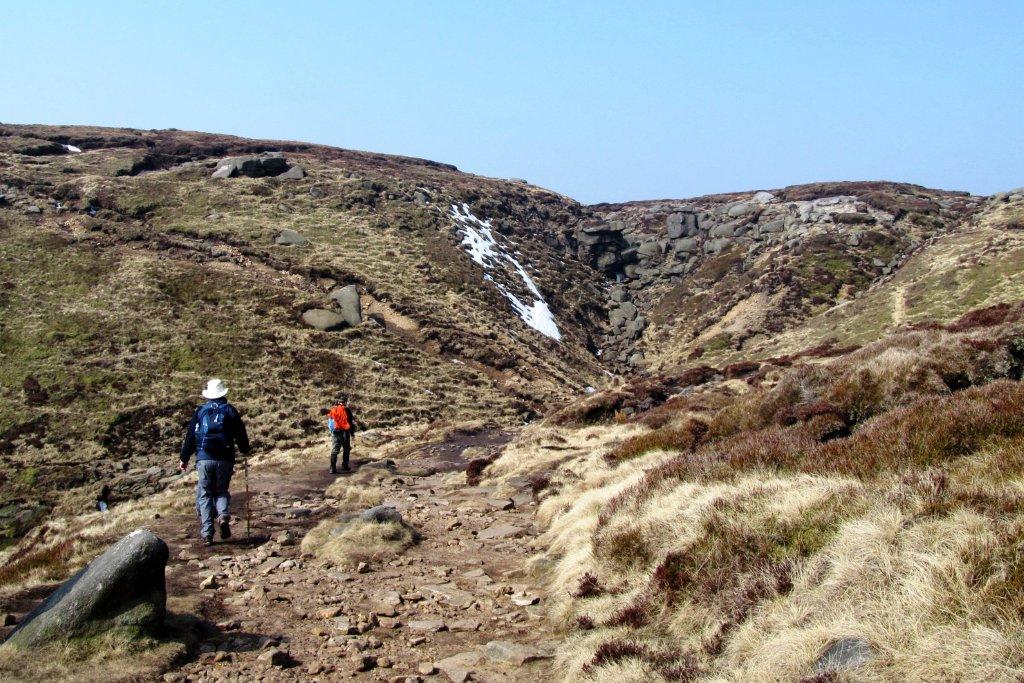
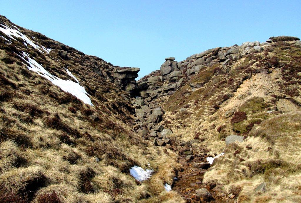
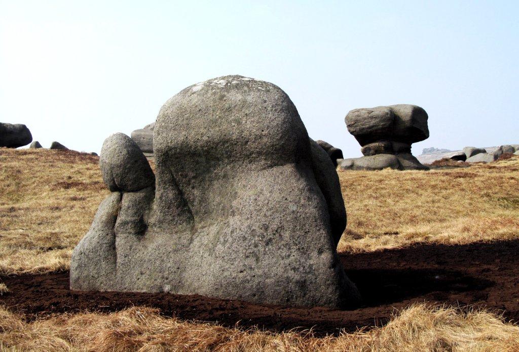
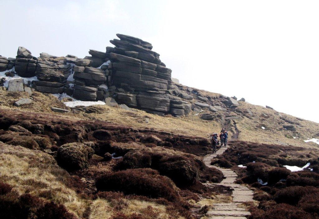
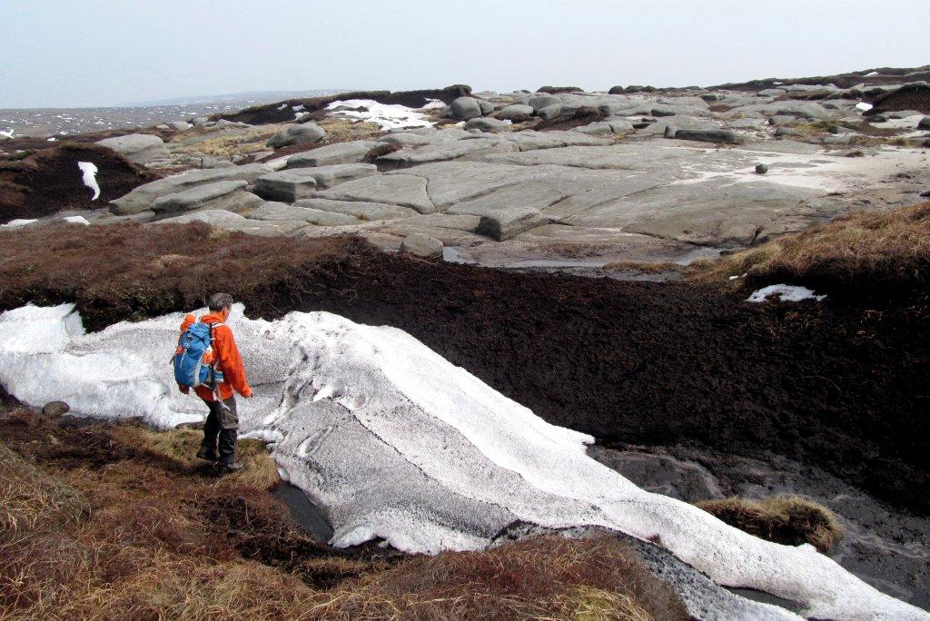
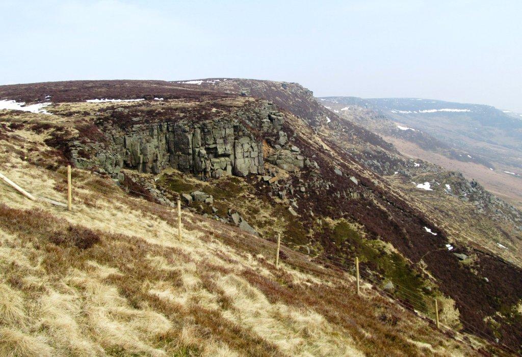
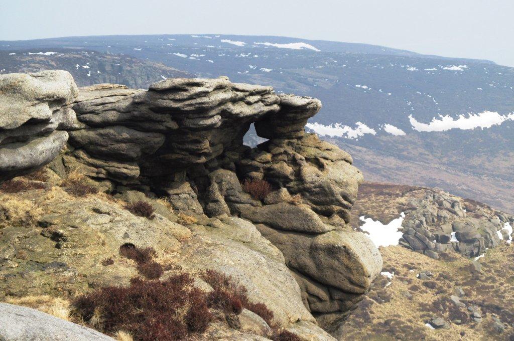
| top of Crowden Clough |
 |
| |
 |
| |
 |
| |
 |
| |
 |
| |
 |
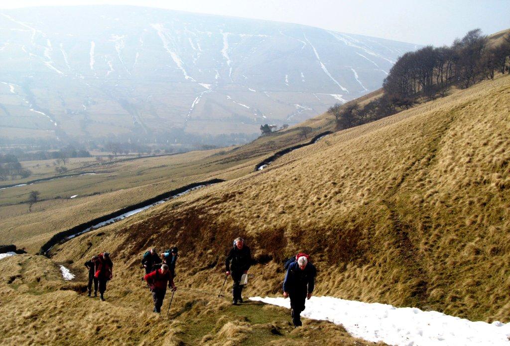
| top of Jacob's Ladder just visible to left. Mount Famine in
centre distance. Swine's Back to right |
 |
| |
 |
| |
 |
| |
 |
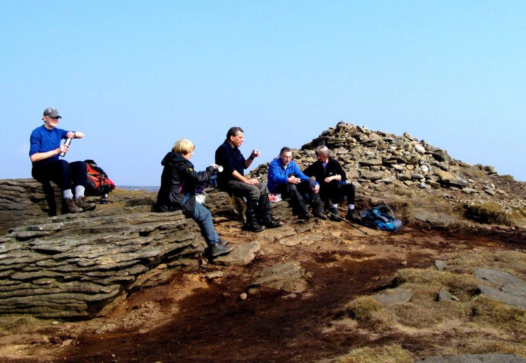
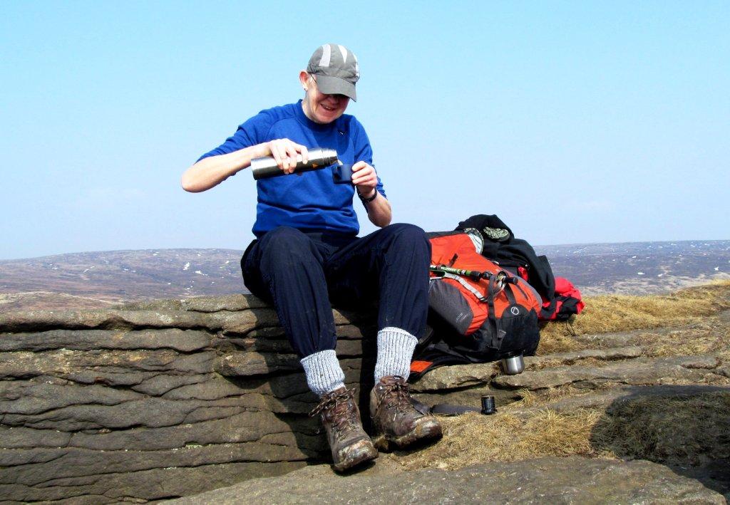
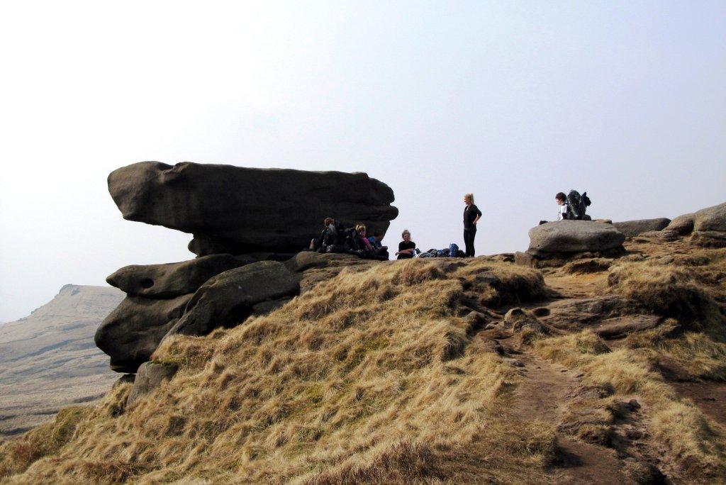
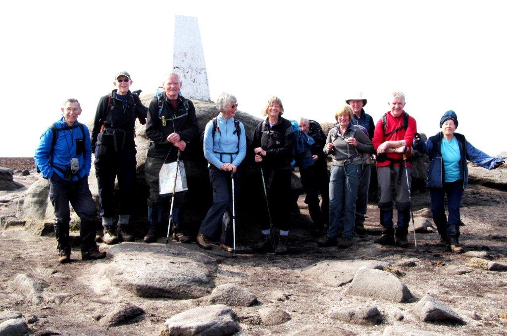
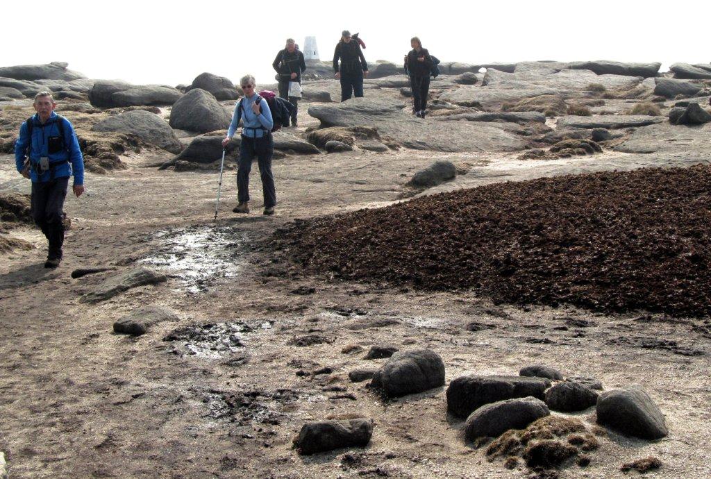
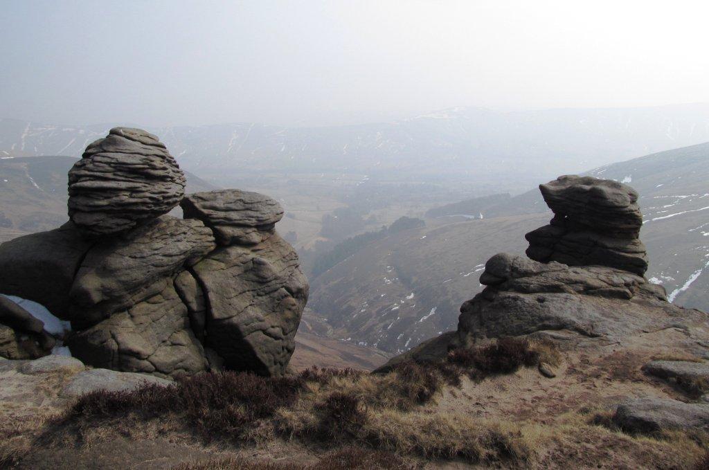
| Kinder Low |
 |
| |
 |
| |
 |
| |
 |
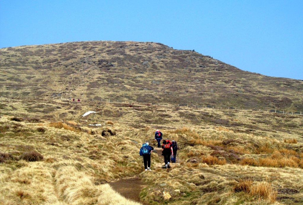
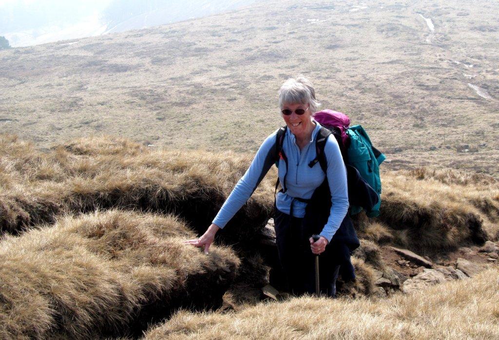
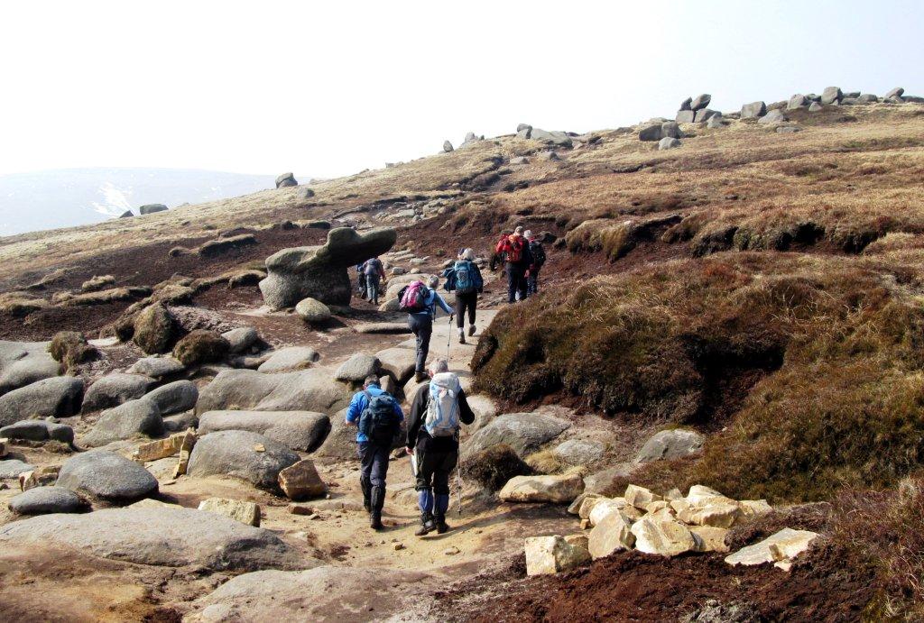
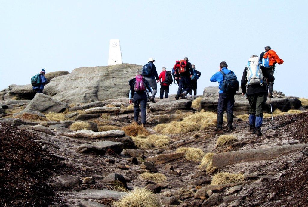
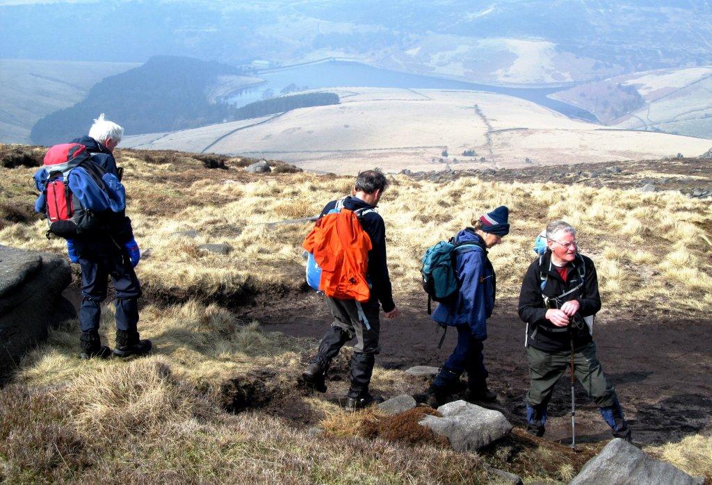
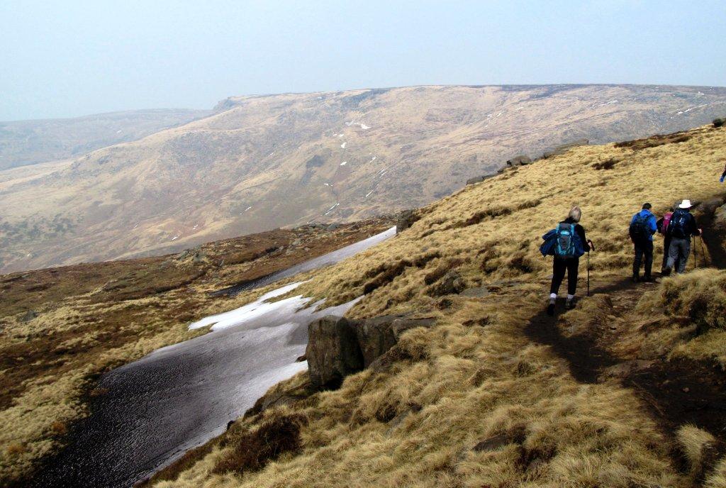
| leaving Kinder Low - heading for Kinder Downfall |
 |
| |
 |
| |
 |
| |
 |
| |
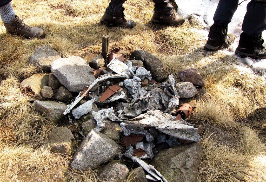 |
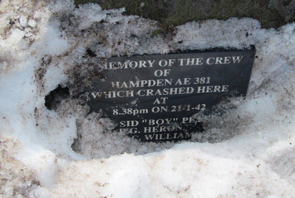
| remains of aeroplane (Hampden AE 381) crash in 1942 |
 |
| |
 |
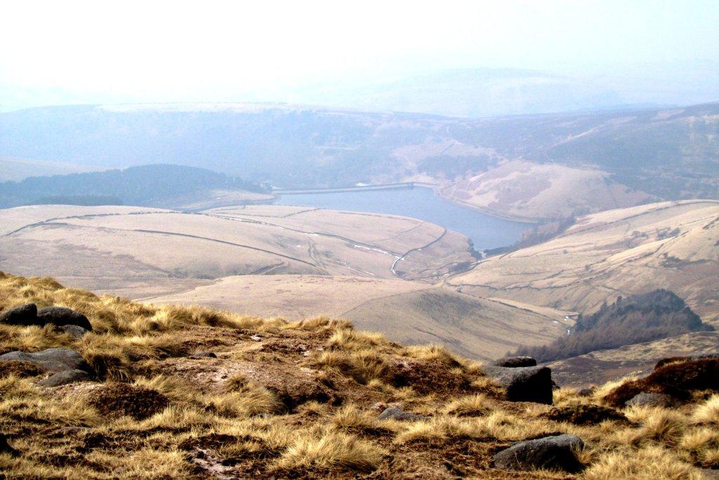
| Kinder Reservoir in background |
 |
| |
 |
| |
 |
| |
 |
| |
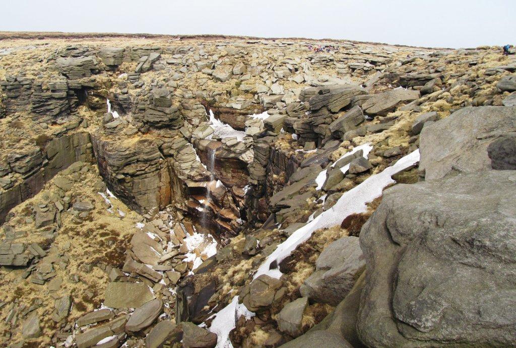 |
| Kinder Downfall |
 |
| |
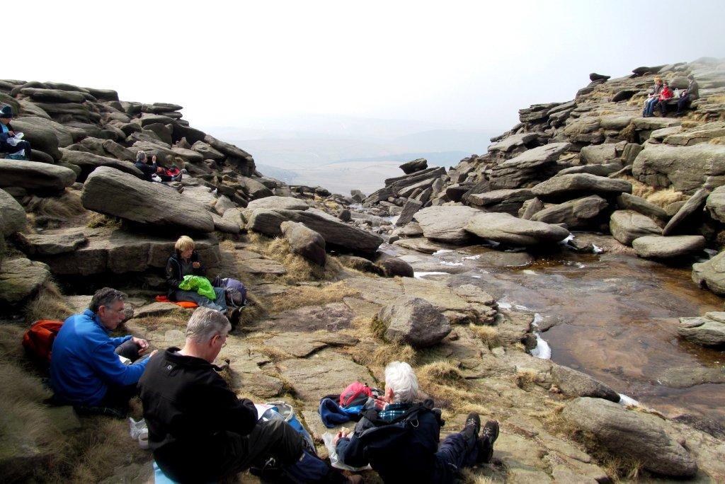 |
| on the Kinder River |
 |
| |
 |
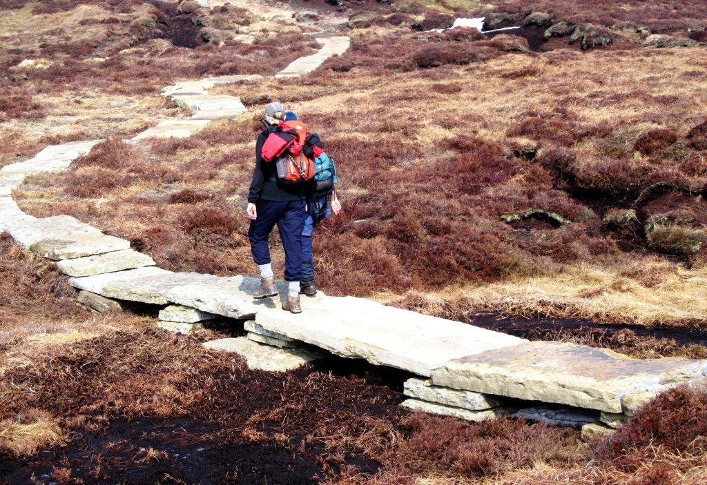
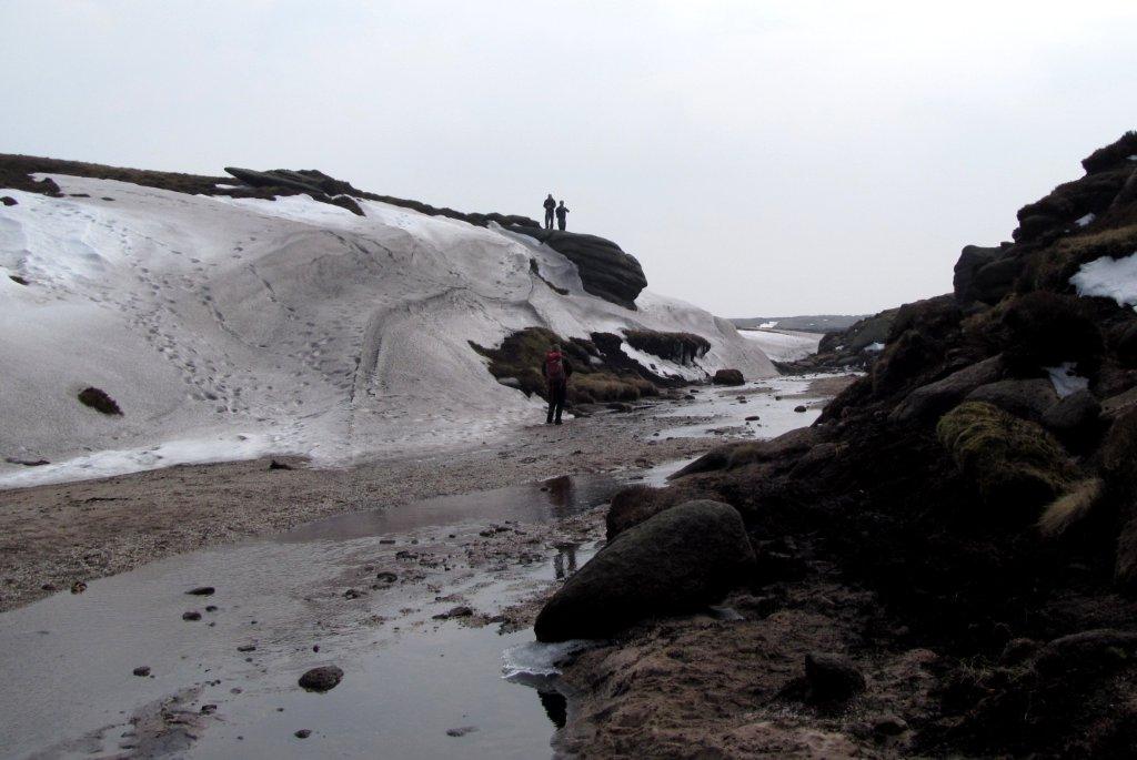
| following the Kinder River |
 |
| |
 |
| |
 |
| |
 |
| |
 |
| |
 |
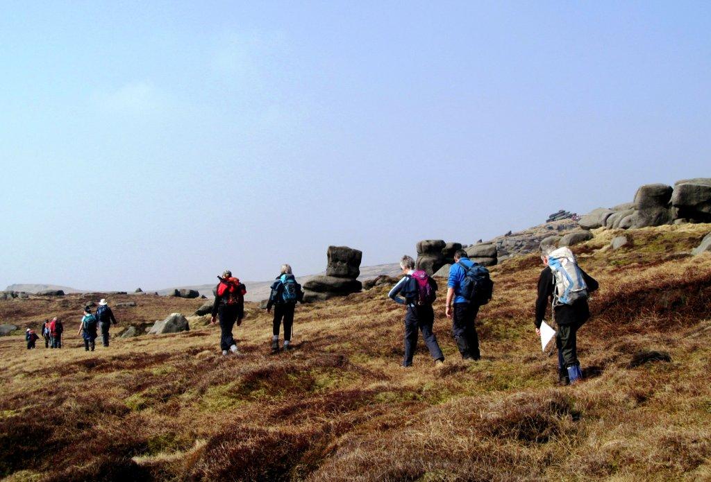
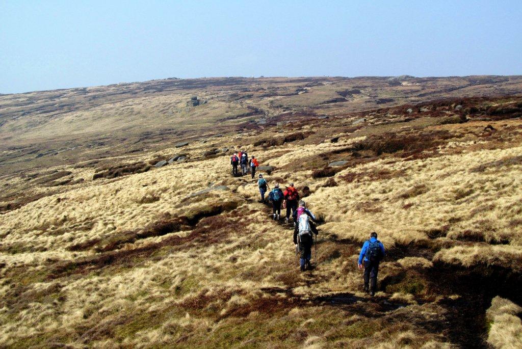
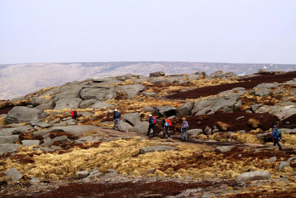
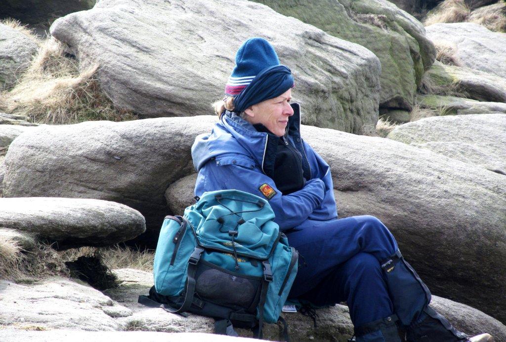
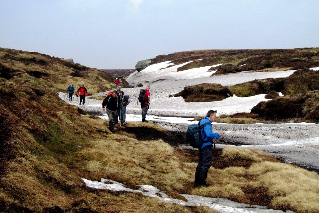
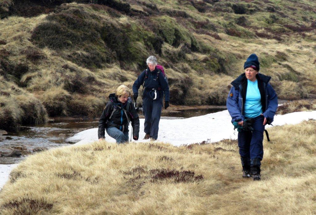
| crossing Edale Moor |
 |
| |
 |
| |
 |
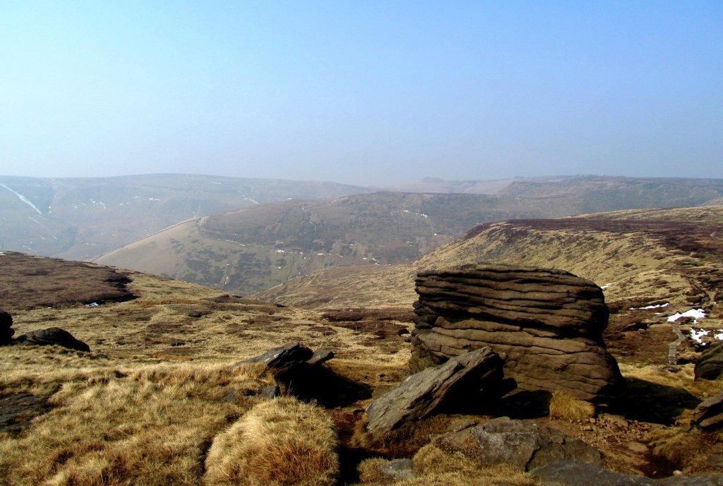
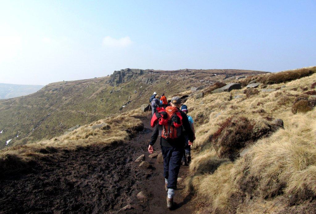
| above part of Grindsbrook Clough |
 |
| |
 |
| |
 |
| |
 |
| |
 |
| |
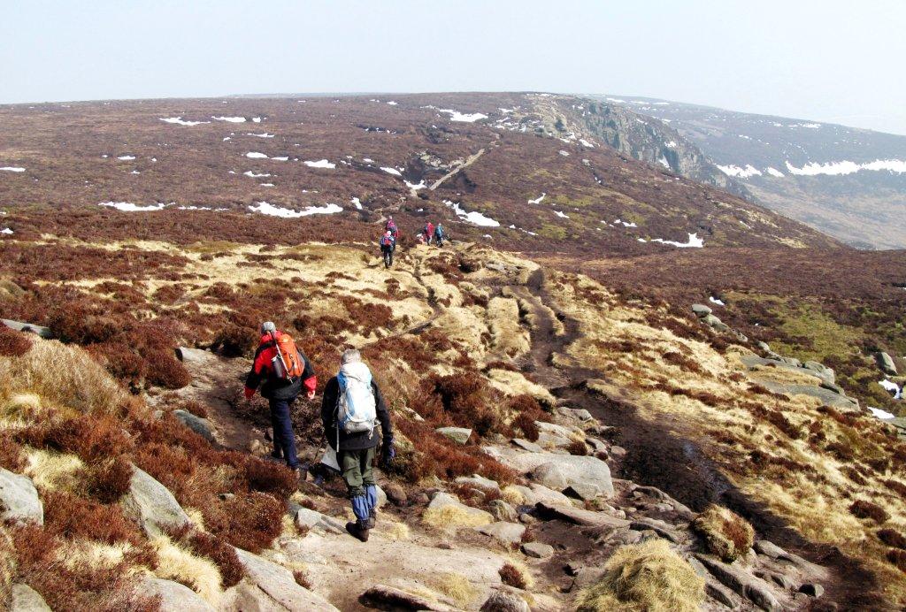 |
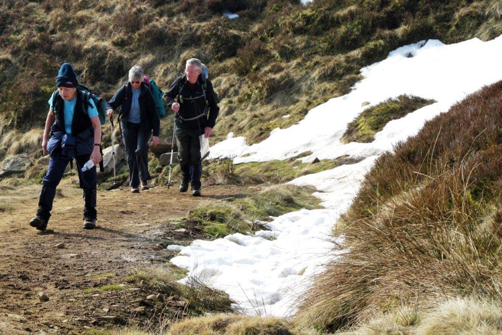
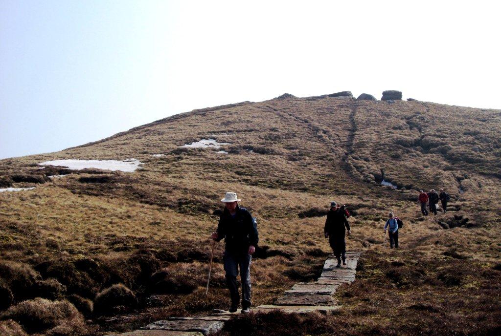
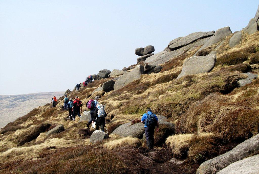
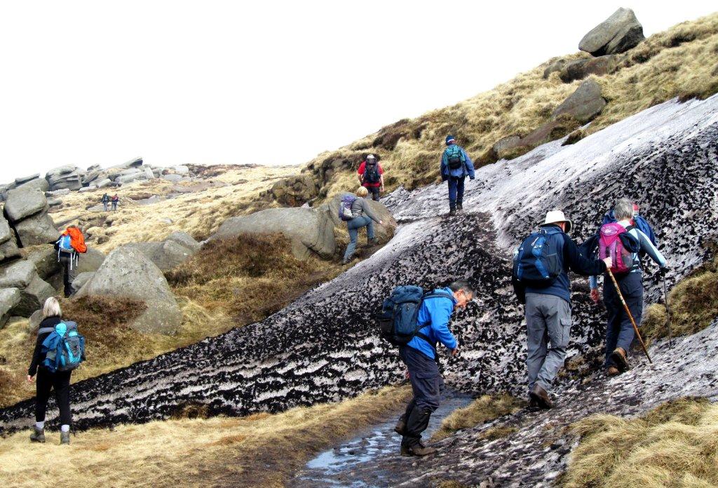
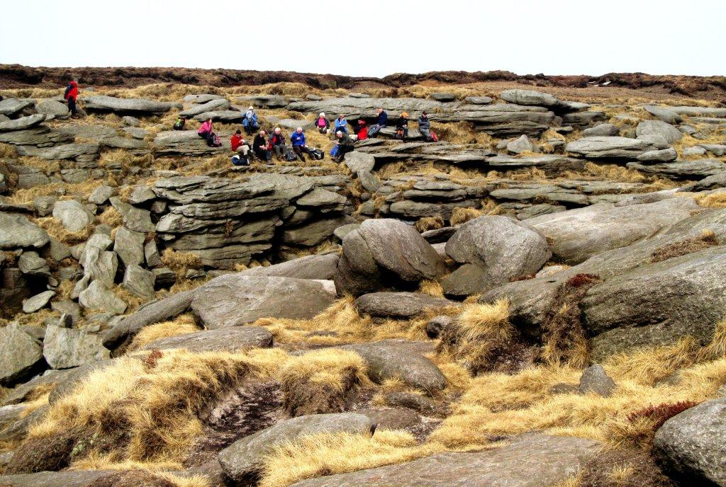
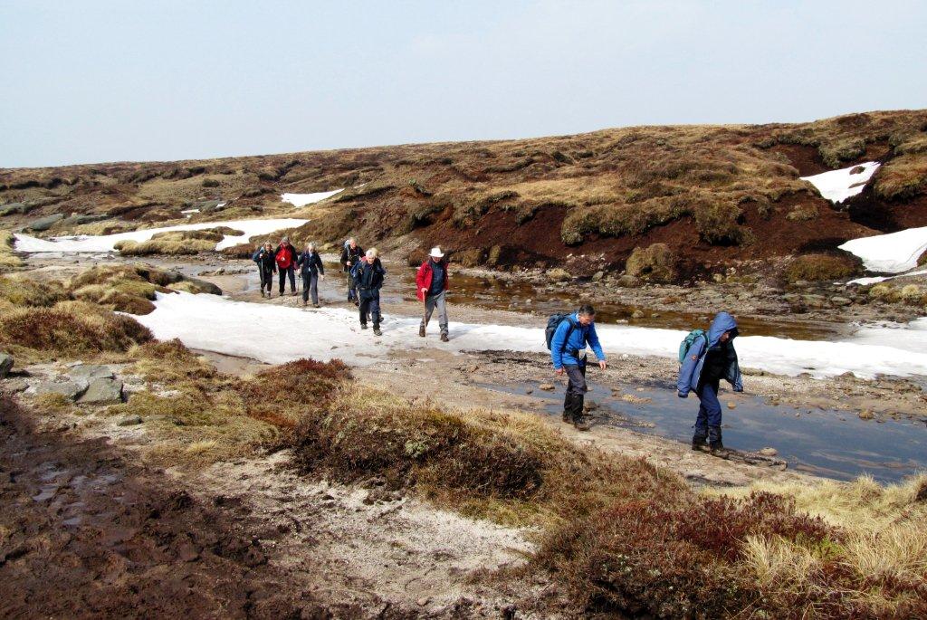
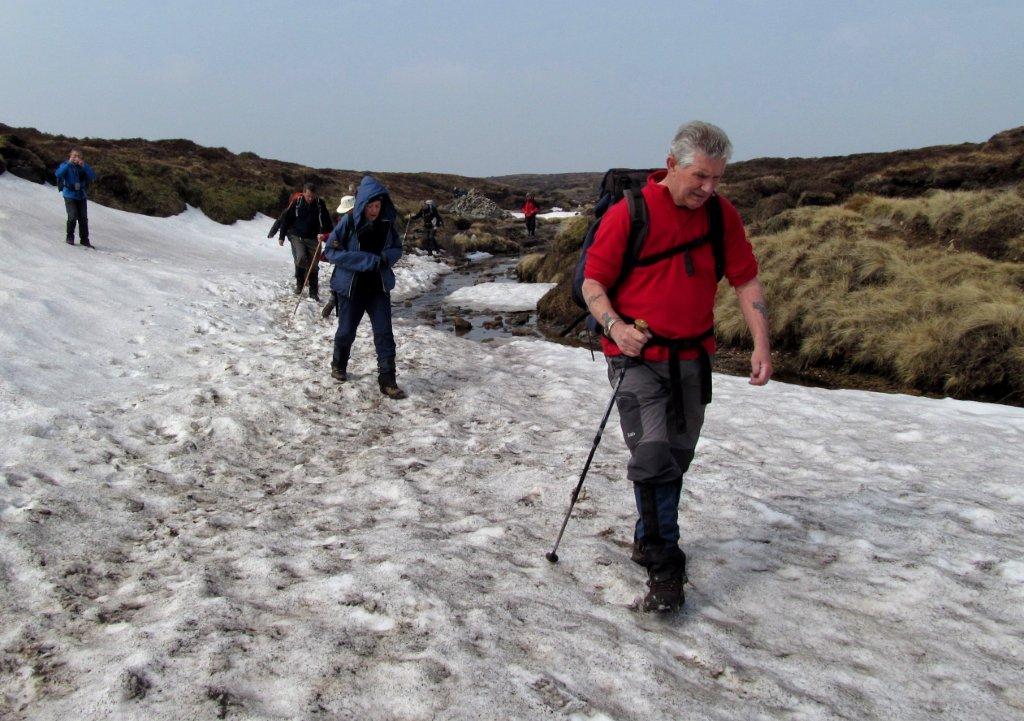
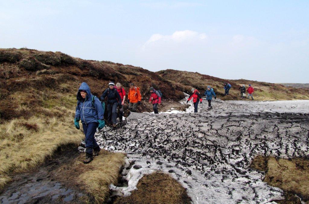
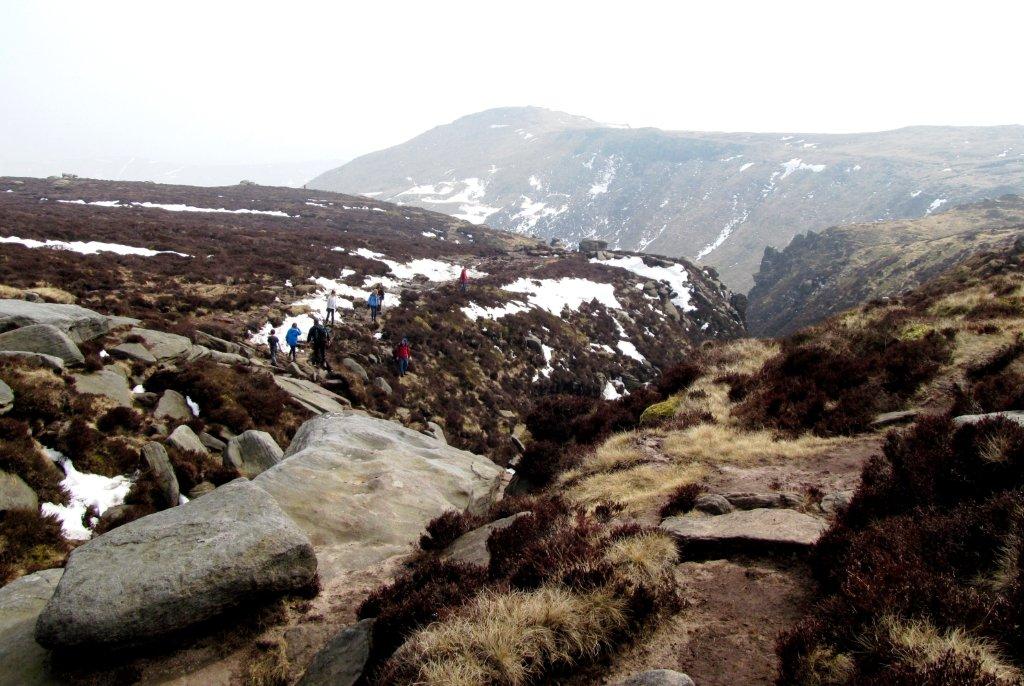
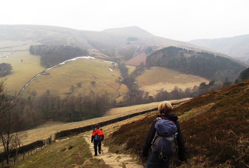
| heading for Nether Tor (along Kinder southern edges) |
 |
| |
 |
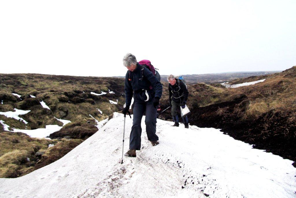
| descending to The Nab |
 |
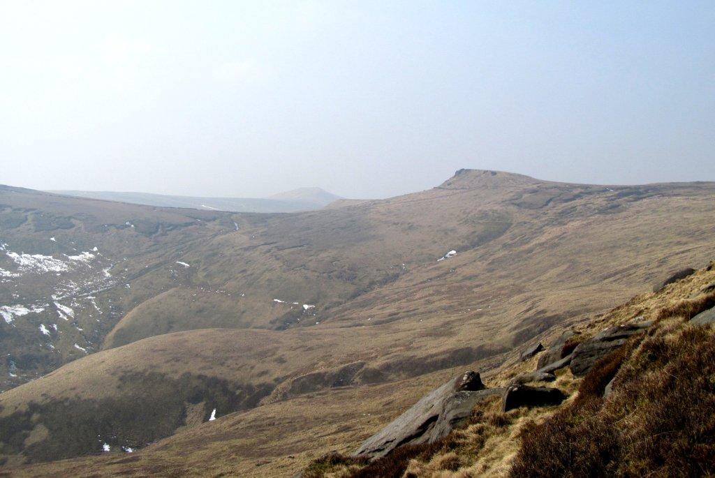
| murky mist obscures distant views |
 |
| Grindslow Knoll across Grindsbrook Clough |
 |
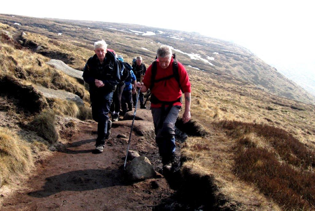
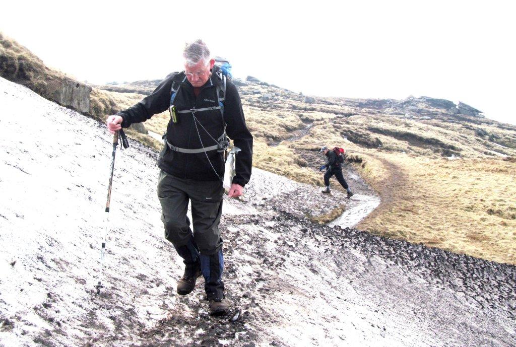
| down from The Nab |
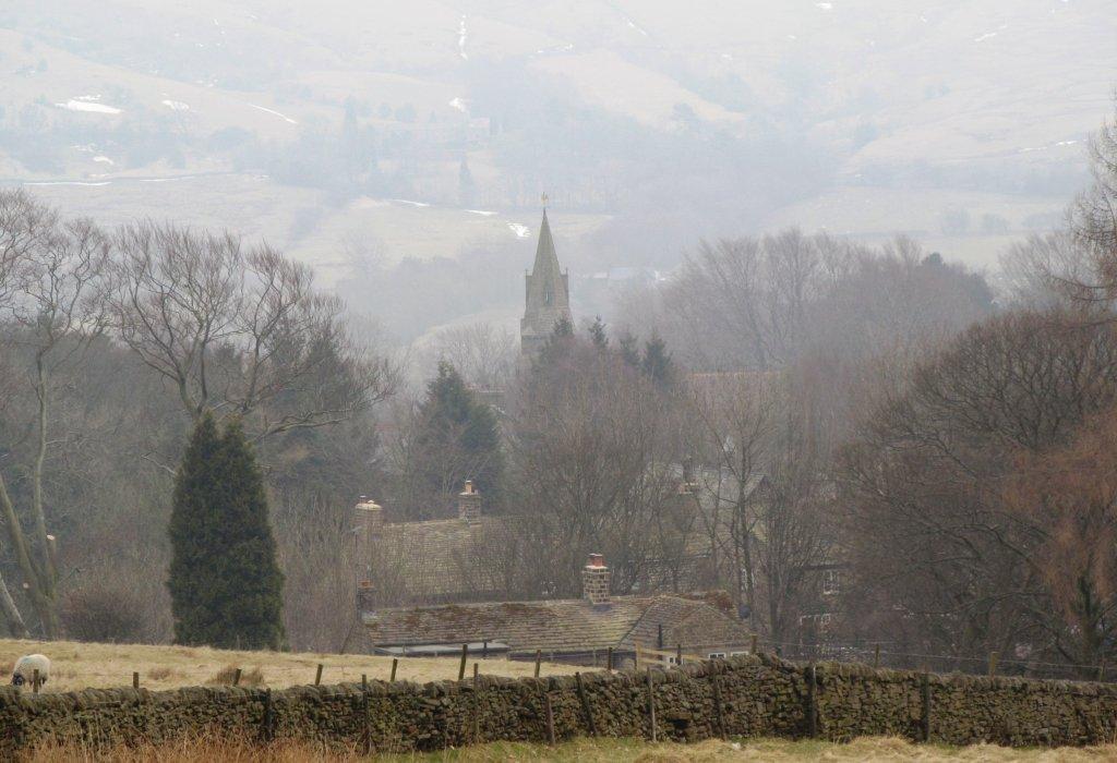 |
| Edale Church |
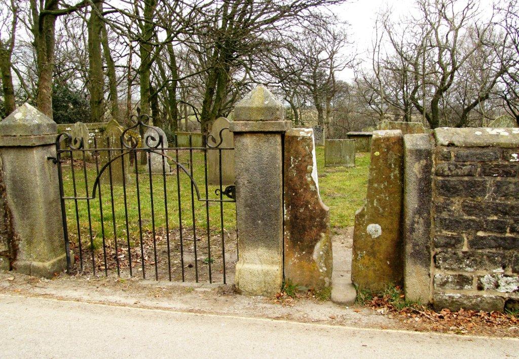 |
| slit stile into Churchyard |
homepage - Day Walks
Index 2013 - contact me at