21st October 2012 - Hathersage, Brookfield Manor, Dennis
Knoll, Stanage, Moscar, Sugworth, Low Bradfield - leader Angie Shaw - Sunday
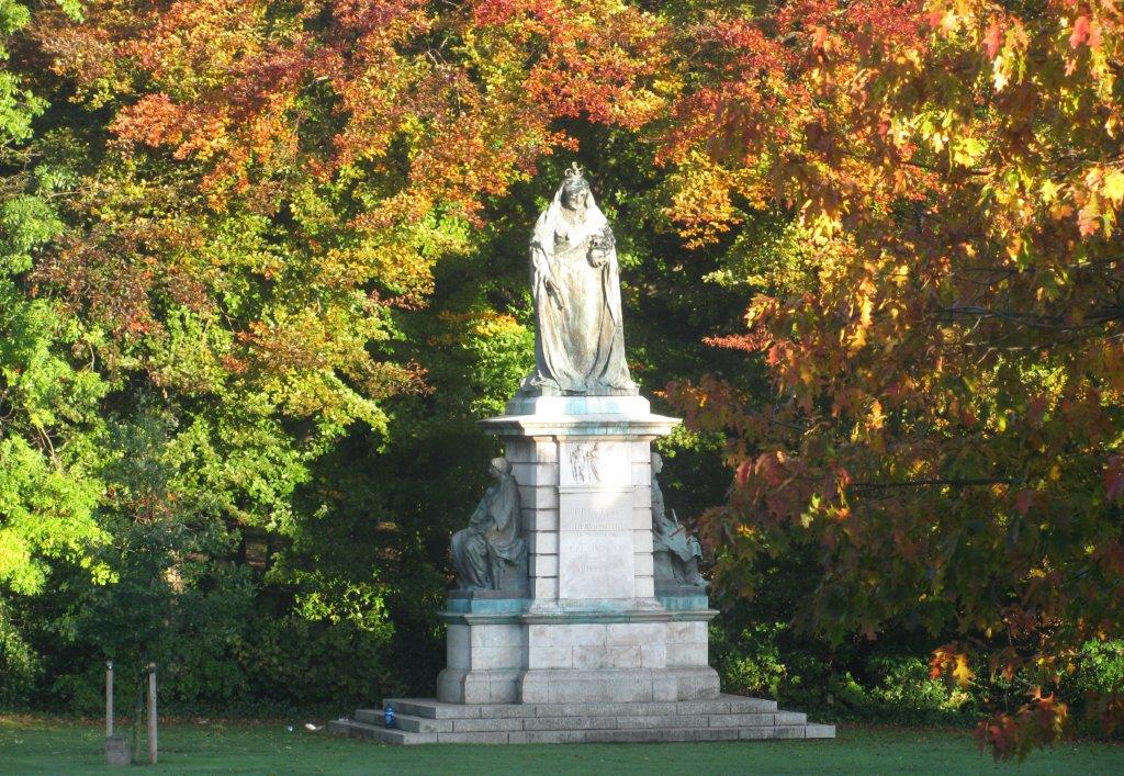 |
| Seen from top of double deck omnibus - 60th year jubilee statue
of Queen Victoria in Endcliffe Park wreathed by autumn leaves |
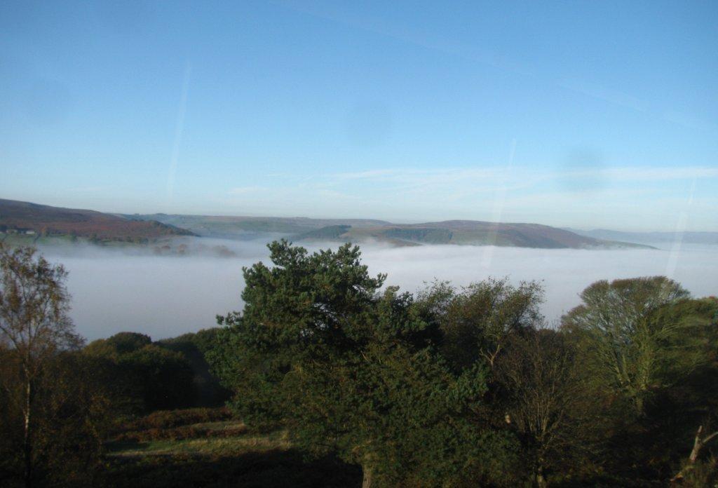 |
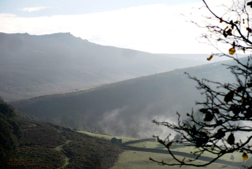
| seen from bus - Hope Valley near Hathersage covered in mist |
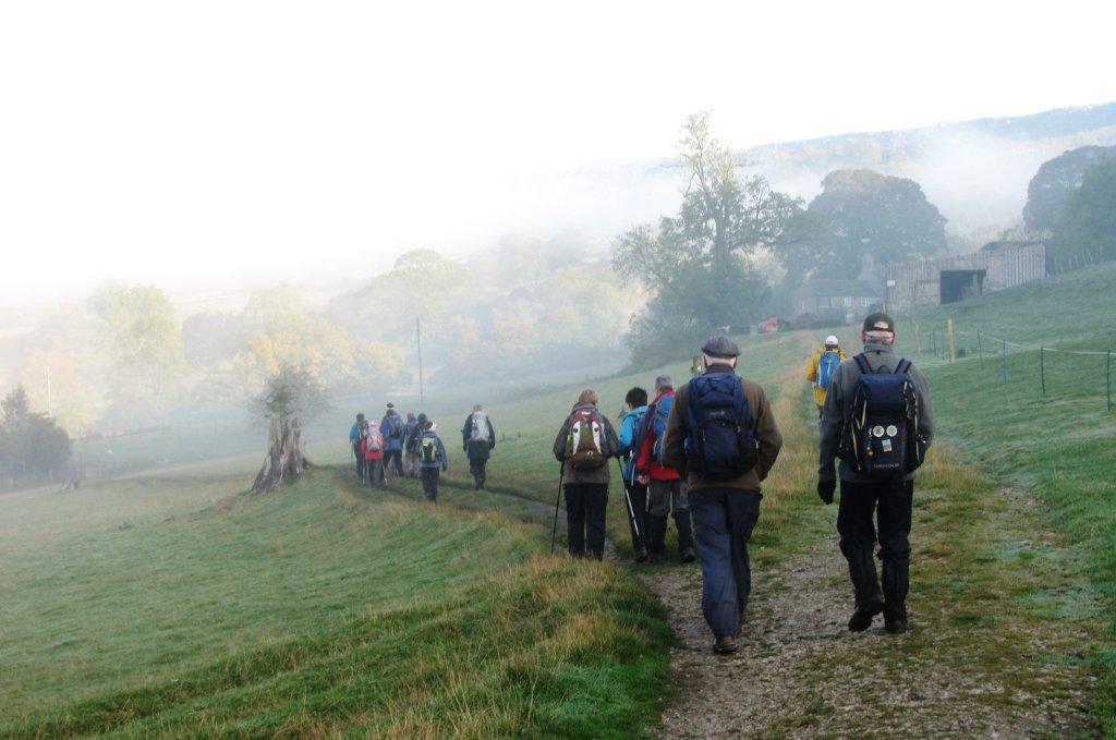 |
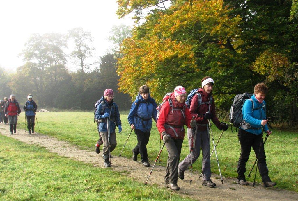
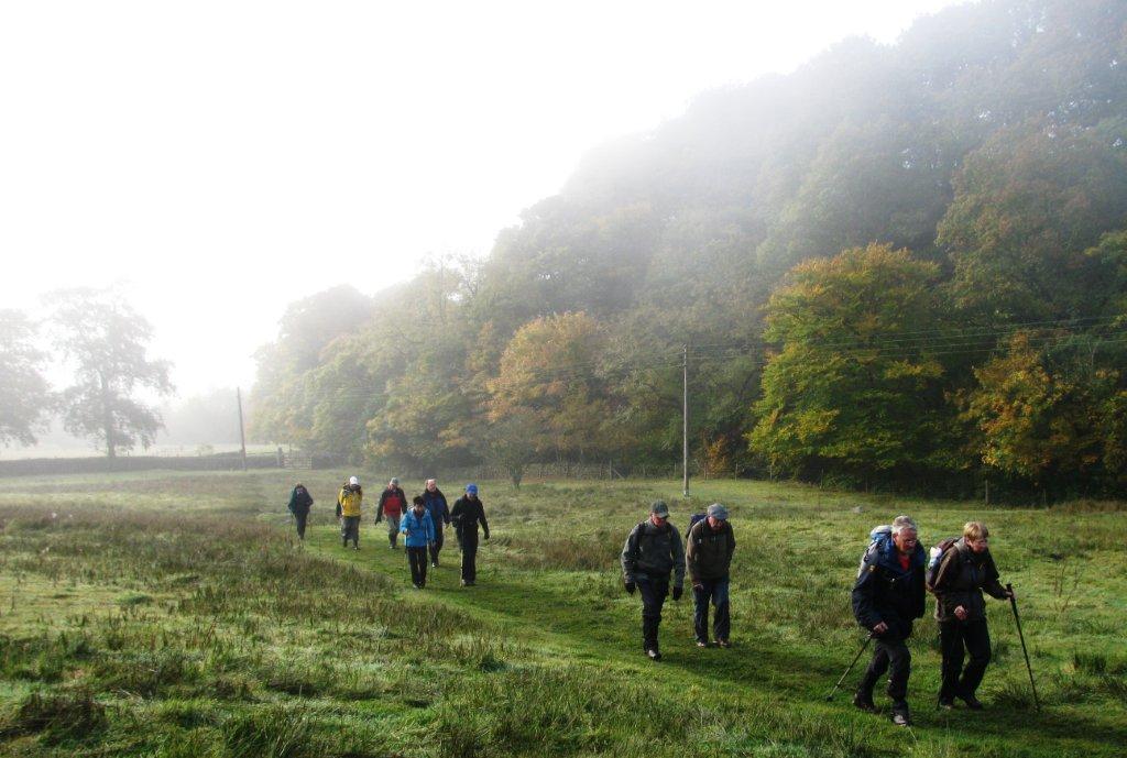
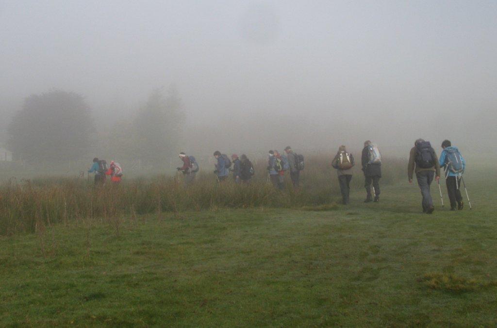
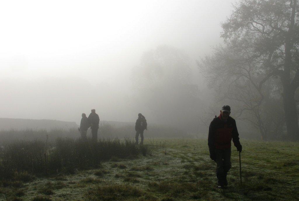
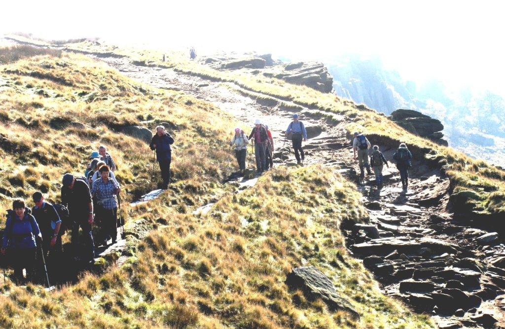
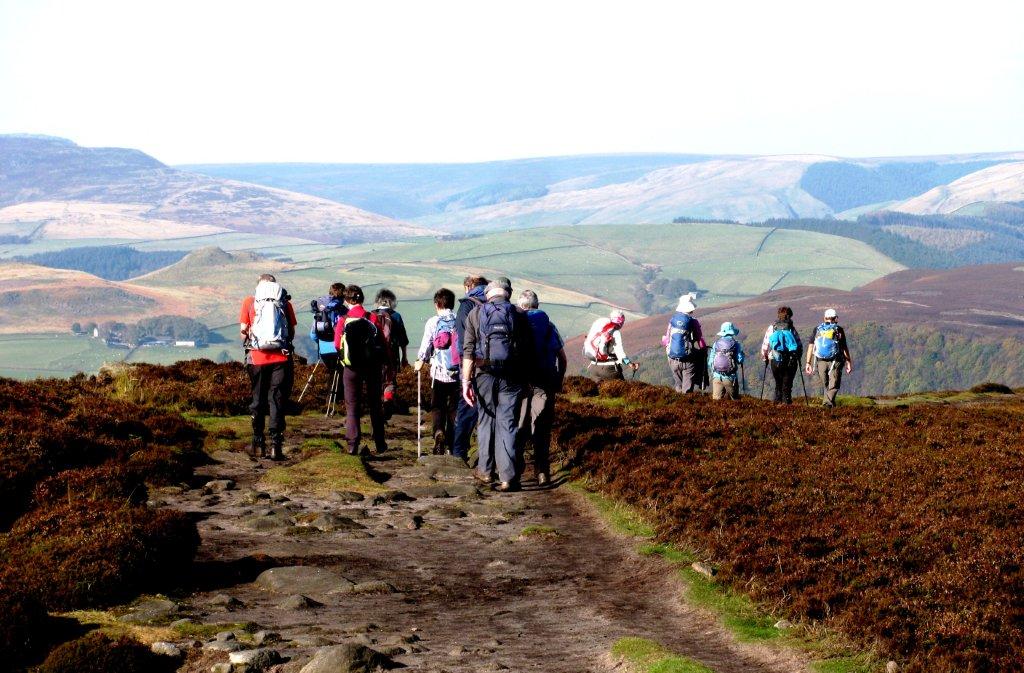
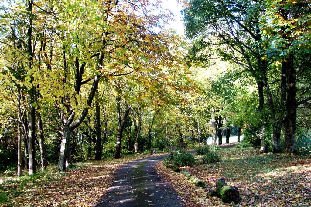
| striding out from Hathersage |
 |
| |
 |
| |
 |
| |
 |
| |
 |
| |
 |
| |
 |
| |
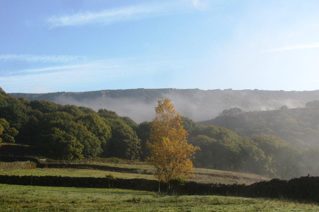 |
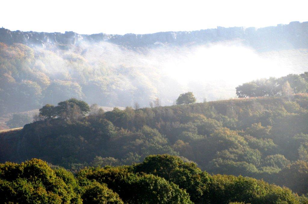
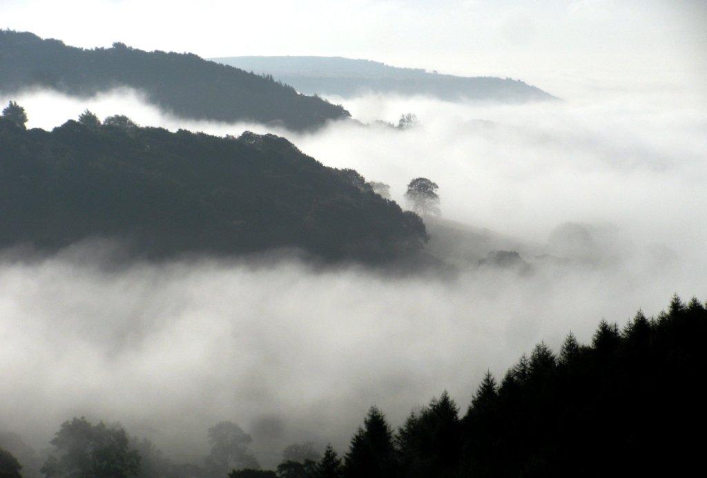
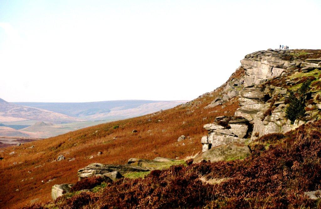
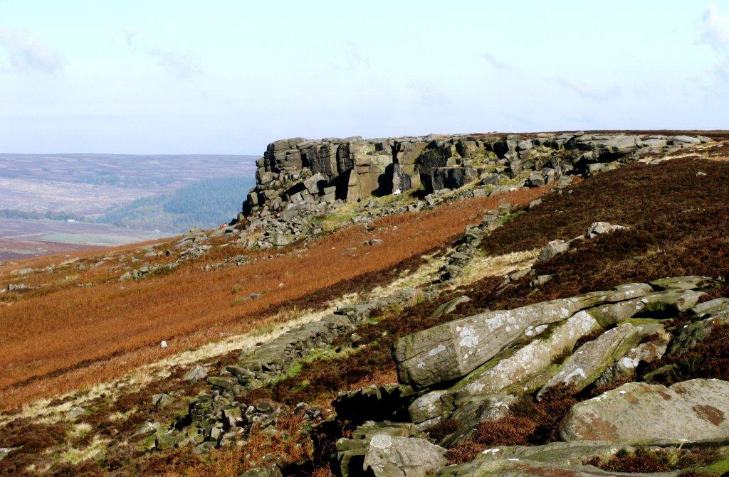
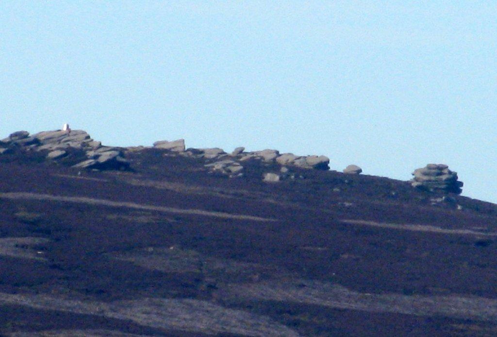
| Stanage Edge above mist |
 |
| |
 |
| |
 |
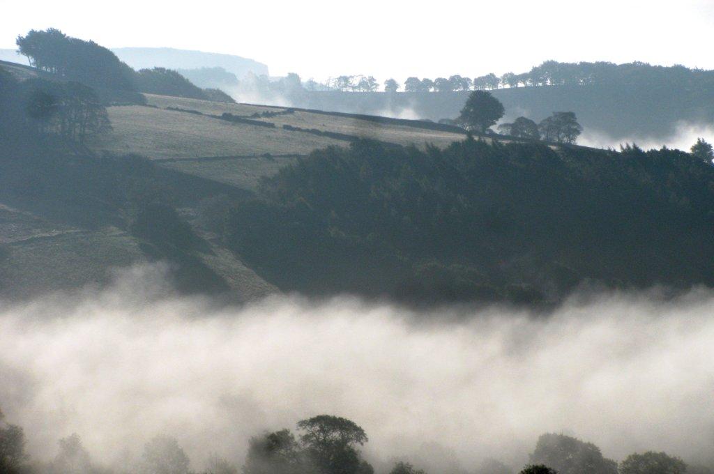
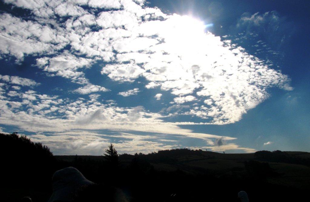
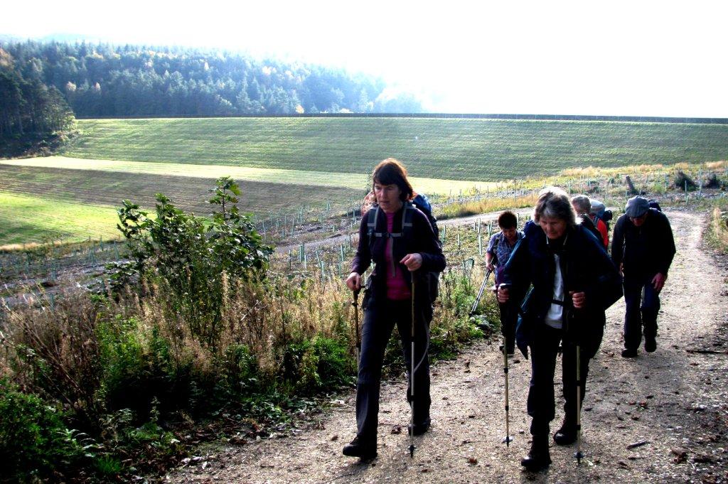
| lurking mist behind the walking group - photographed into
sun |
 |
| |
 |
| High Neb behind - part of Stanage Edge |
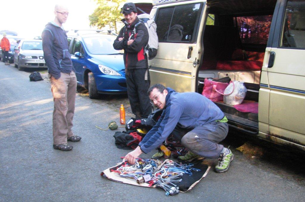 |
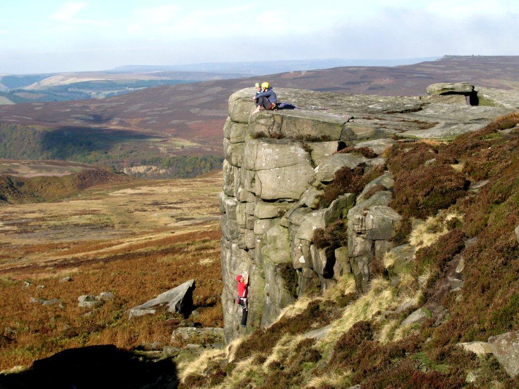
| rock climbers checking their gear |
 |
| |
 |
| |
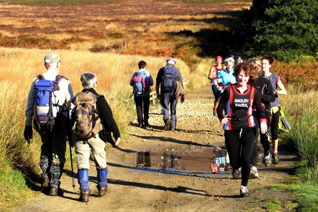 |
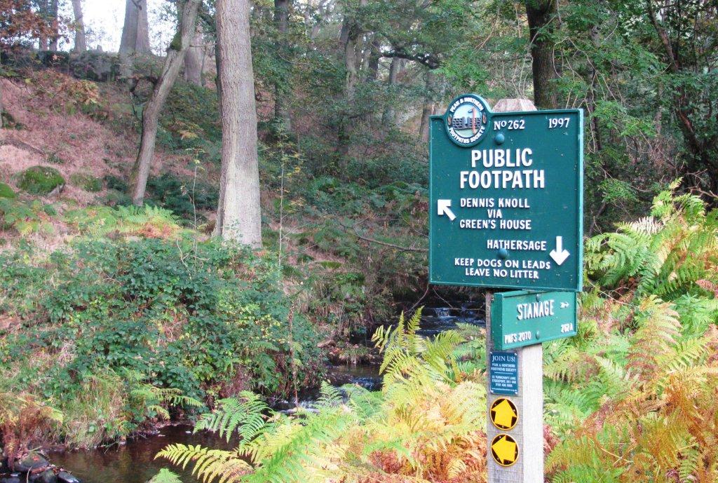
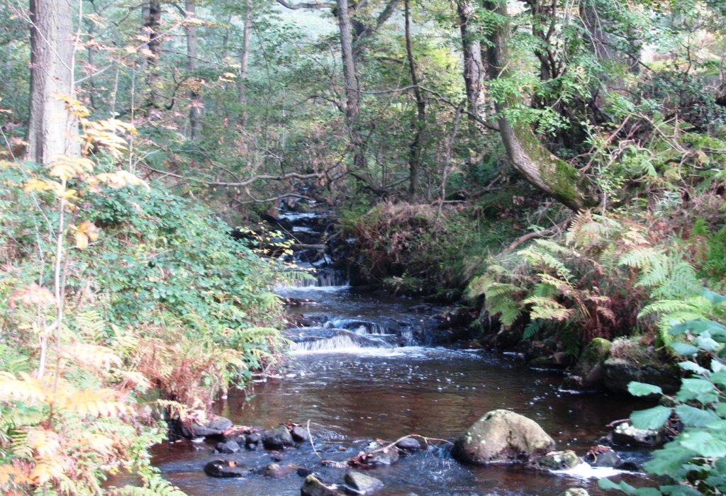
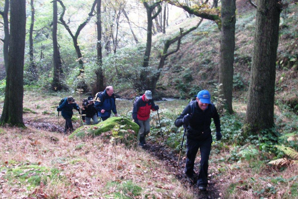
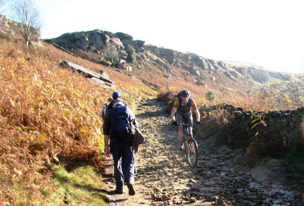
| encountering runners - Smiley Paces - near Dennis Knoll woods |
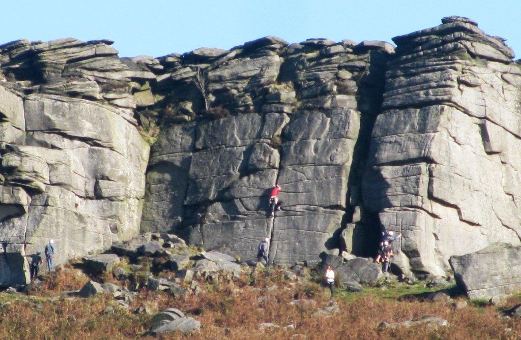 |
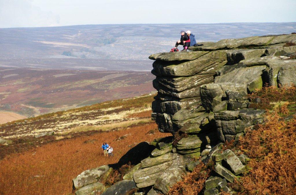
| on the rocks |
 |
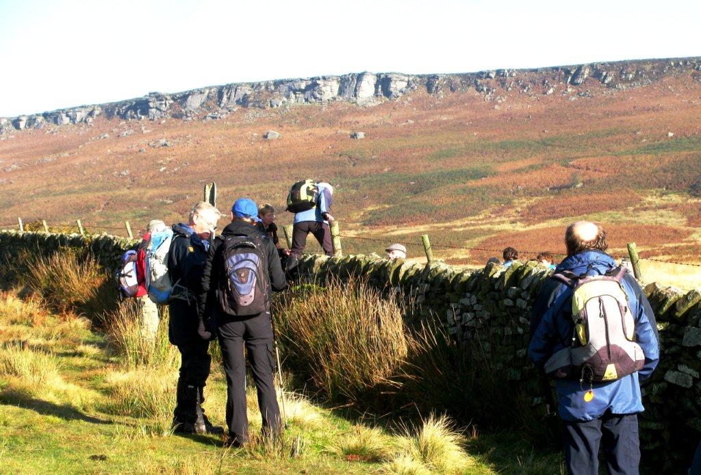
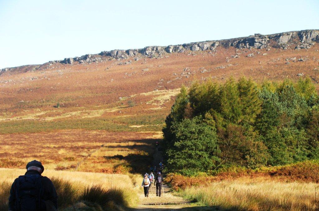
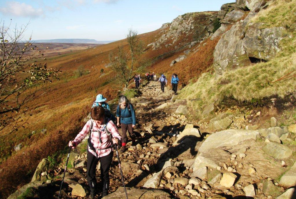
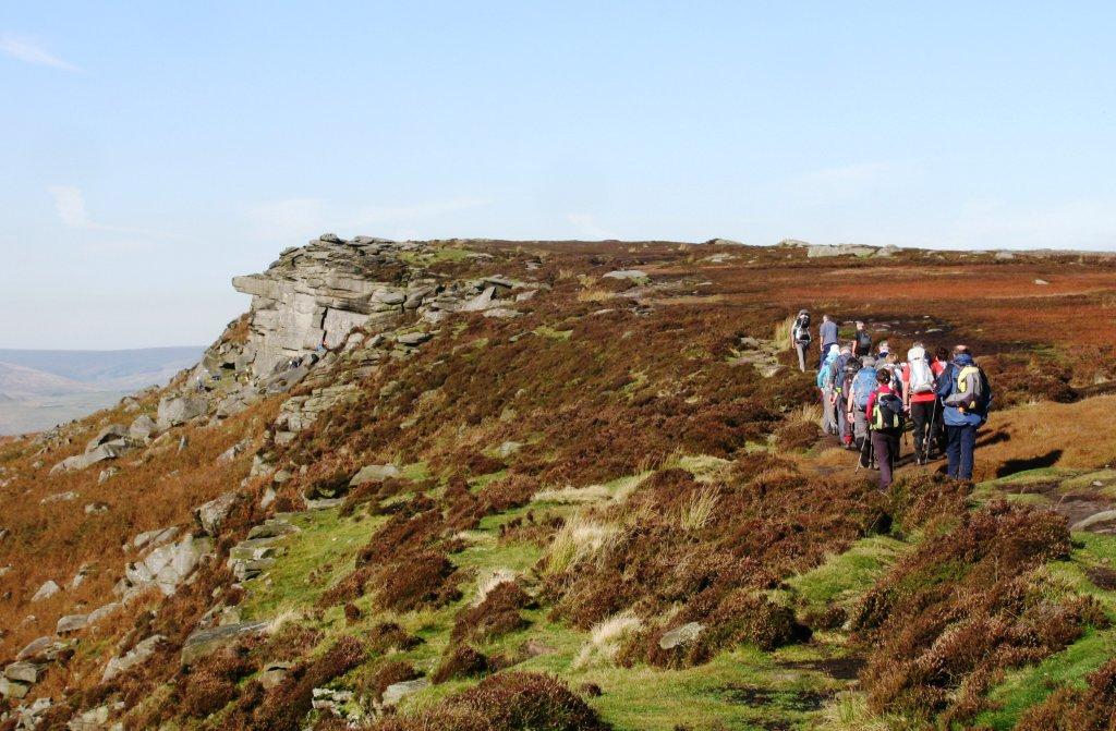
| Long Causeway track up to Stanage Edge |
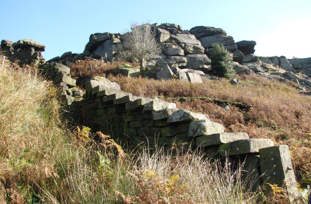 |
| steps on drystone wall - stairway to paradise? |
 |
| |
 |
| |
 |
| Long Causeway meets Stanage Edge |
 |
| |
 |
| |
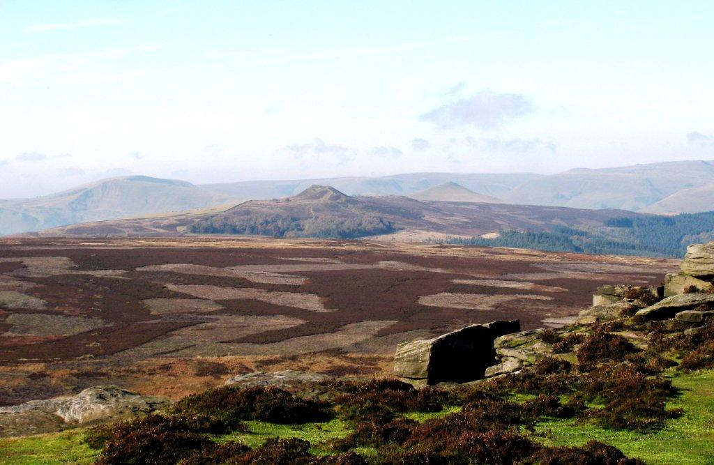 |
| Mam Tor, Win Hill & Lose Hill - Kinder plateaux behind
them (and Edale
Valley not seen) |
 |
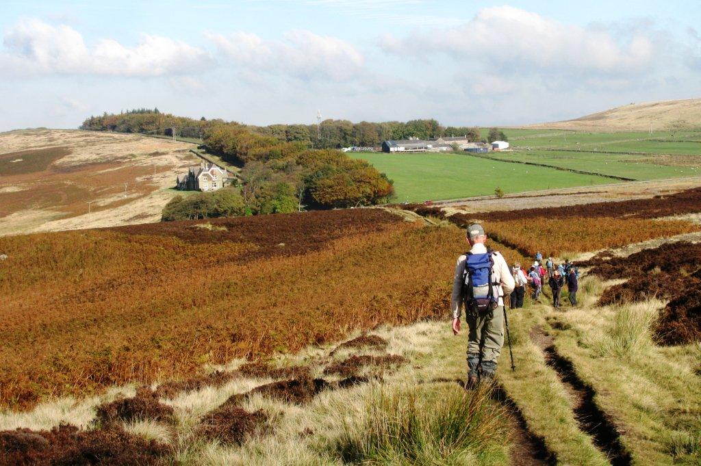
| looking across to Crook Hill & Crookhill Farm |
 |
| |
 |
| |
 |
| |
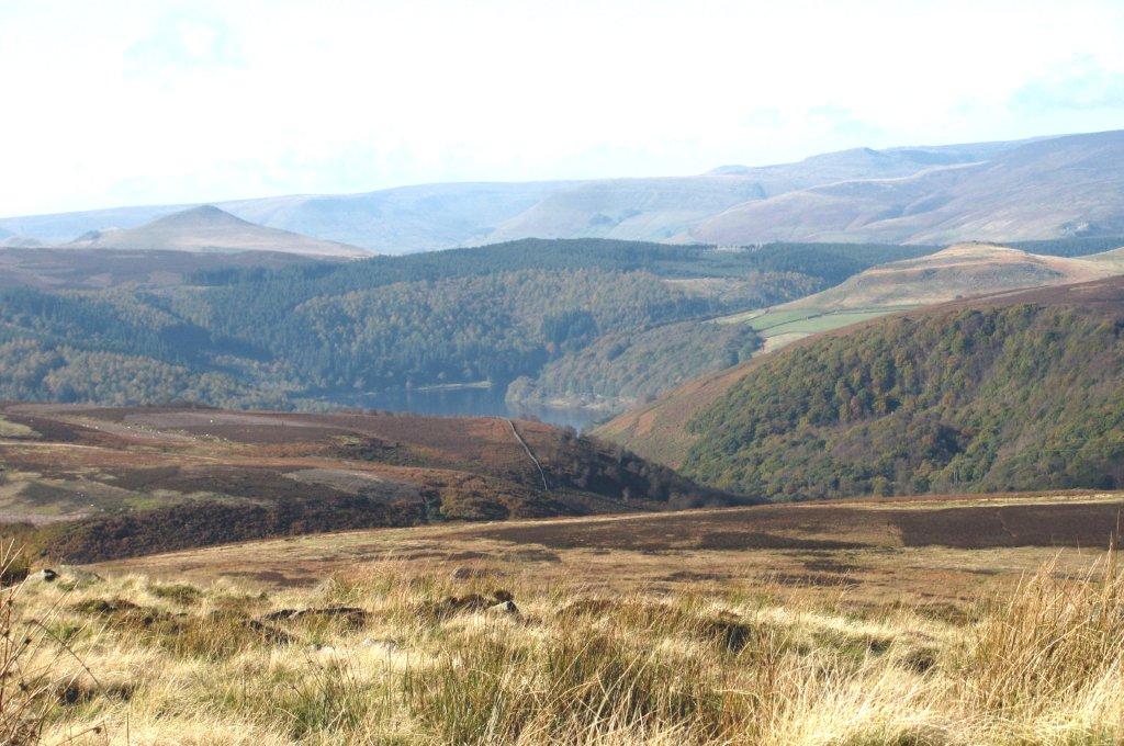 |
| part of Ladybower Resrvoir visible - below Roman
road on ridge leading to Win Hill - Lose Hill seen here behind
ridge |
 |
| |
 |
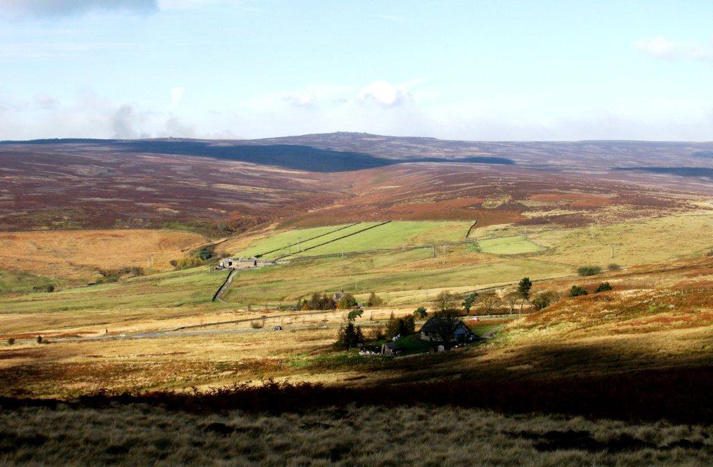
| down to Moscar Lodge - left of woods |
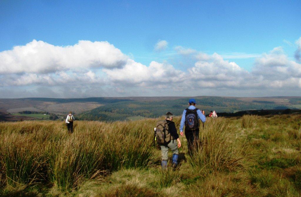 |
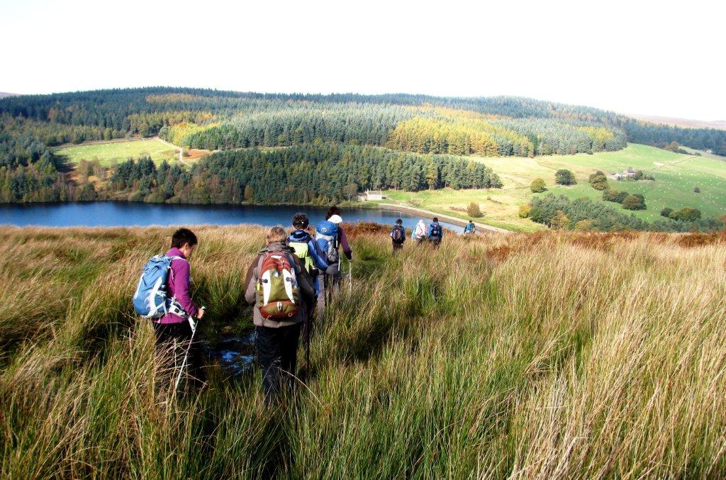
| across boggy moorland towards Sugworth |
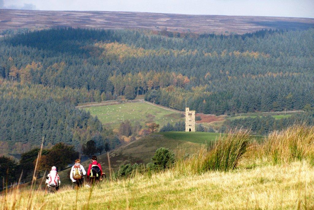 |
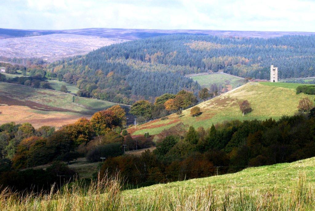
| 'Boots Folly' - tower to right - seen from Lodge Moor south
of Sugworth Road |
 |
| |
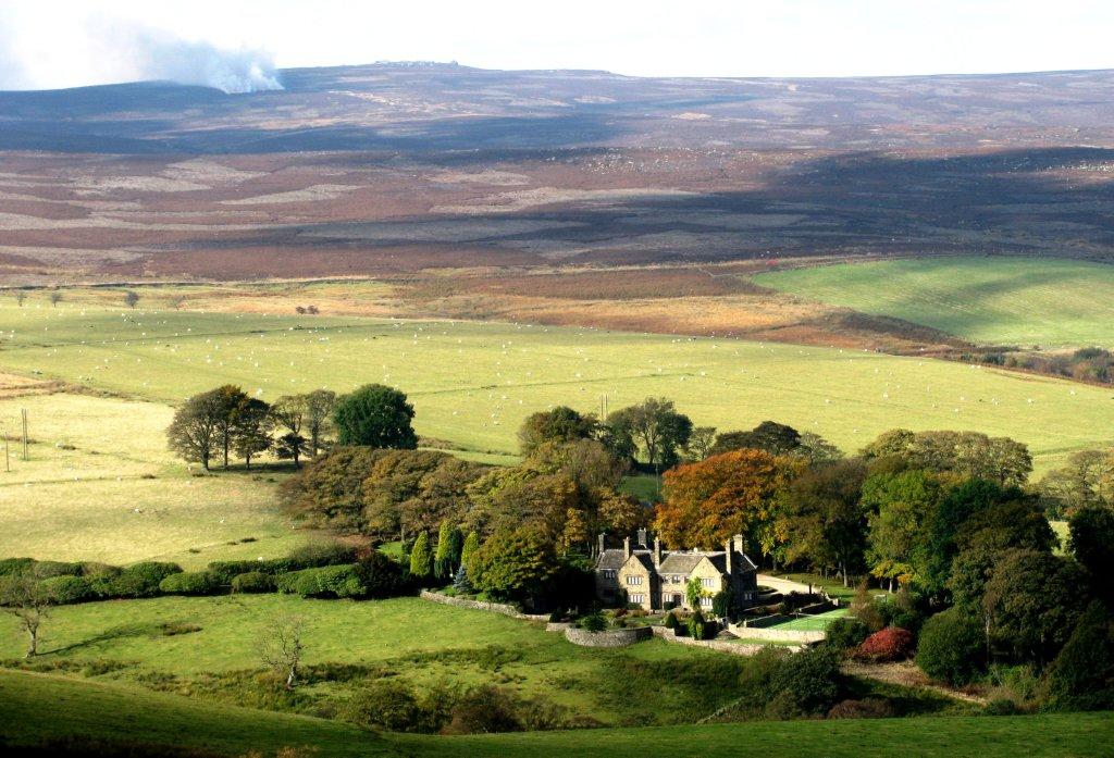 |
| Bents House |
 |
| |
 |
| drive down to Sugworth Hall |
 |
| zoomed from Sugworth Edge to Survey beacon at Back Tor
(north end of Derwent Edge) |
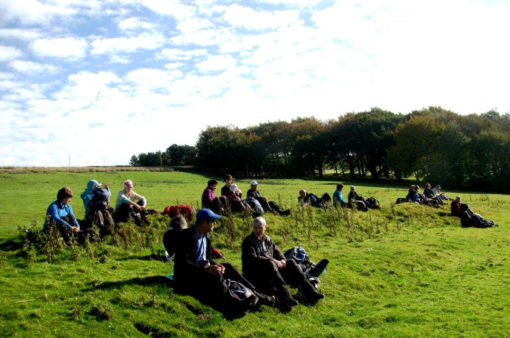 |
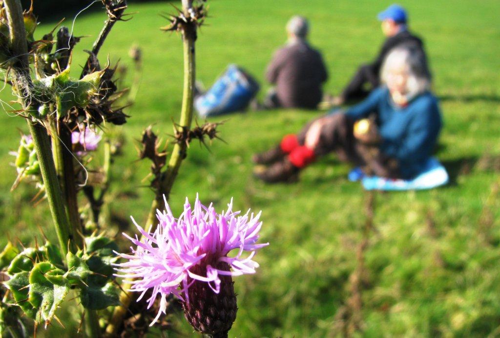
| lunch near Boots folly |
 |
| |
 |
| |
 |
| Strines Reservoir |
 |
| 13th century Strines Inn visible behind Strines Reservoir |
 |
| Strines Reservoir - earth dam |
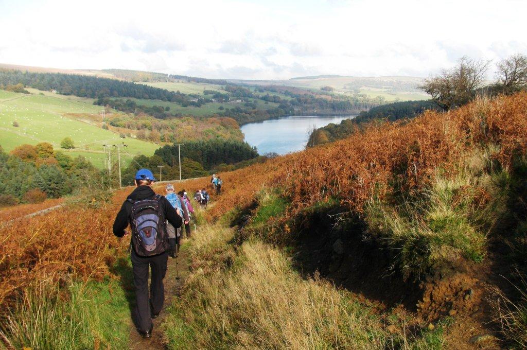 |
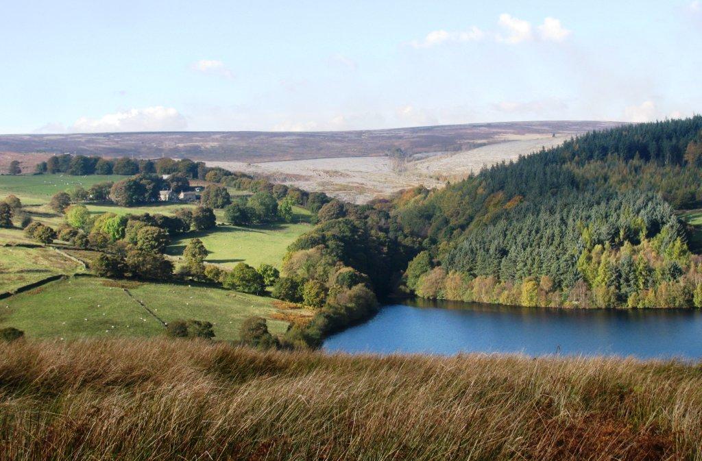
| Dale Dike Reservoir in view |
 |
| |
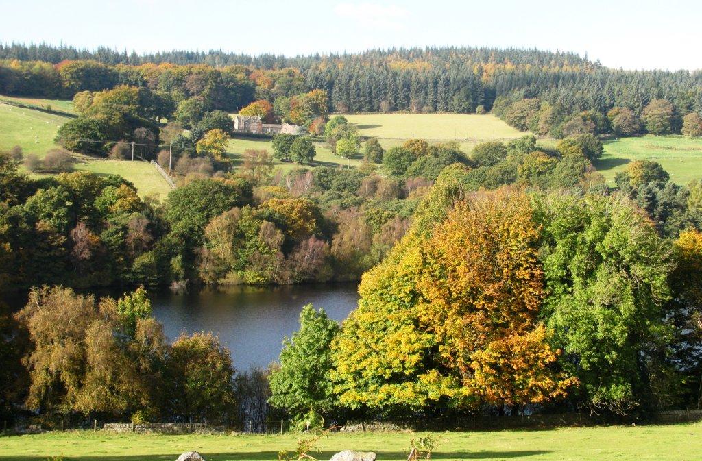 |
| Dale Dike Reservoir - Hallfield house behind |
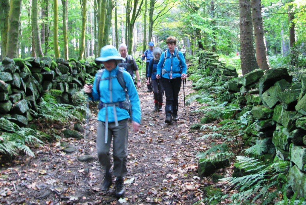 |
| through woods to the east edge of Dale Dike Reservoir |
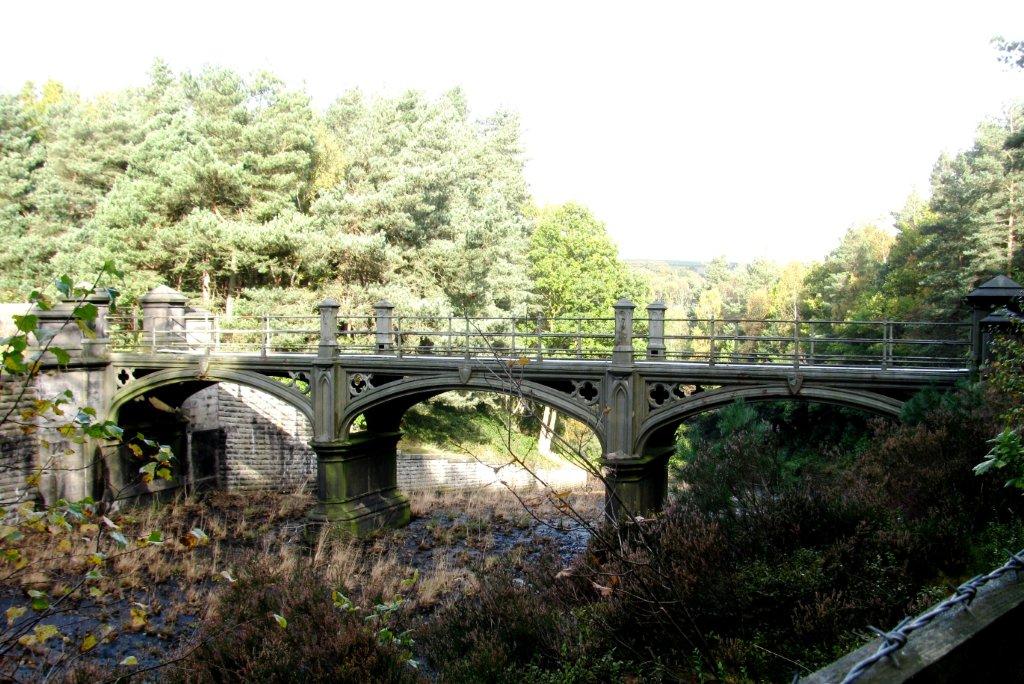 |
| cast iron bridge over spillway |
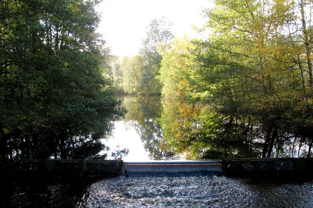 |
| pond with weir below reservoir |
 |
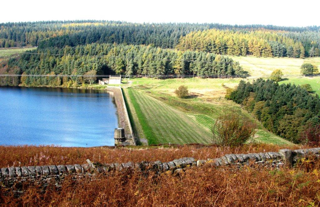
| Dale Dike earth dam behind |
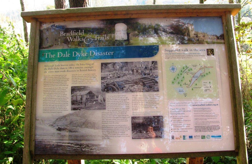 |
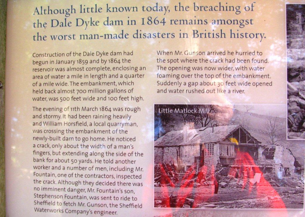
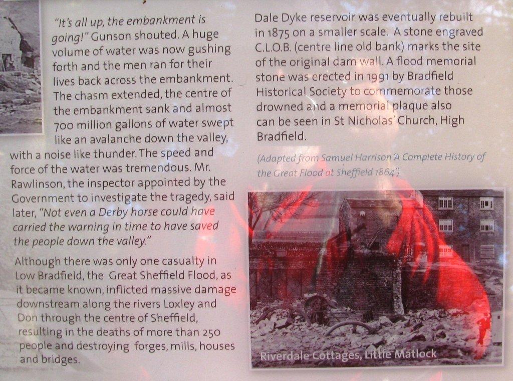
| the breaching of the first Dale Dike dam |
 |
| |
 |
| |
 |
| seen from road - earthen dam wall full of water |
 |
| |
 |
| |
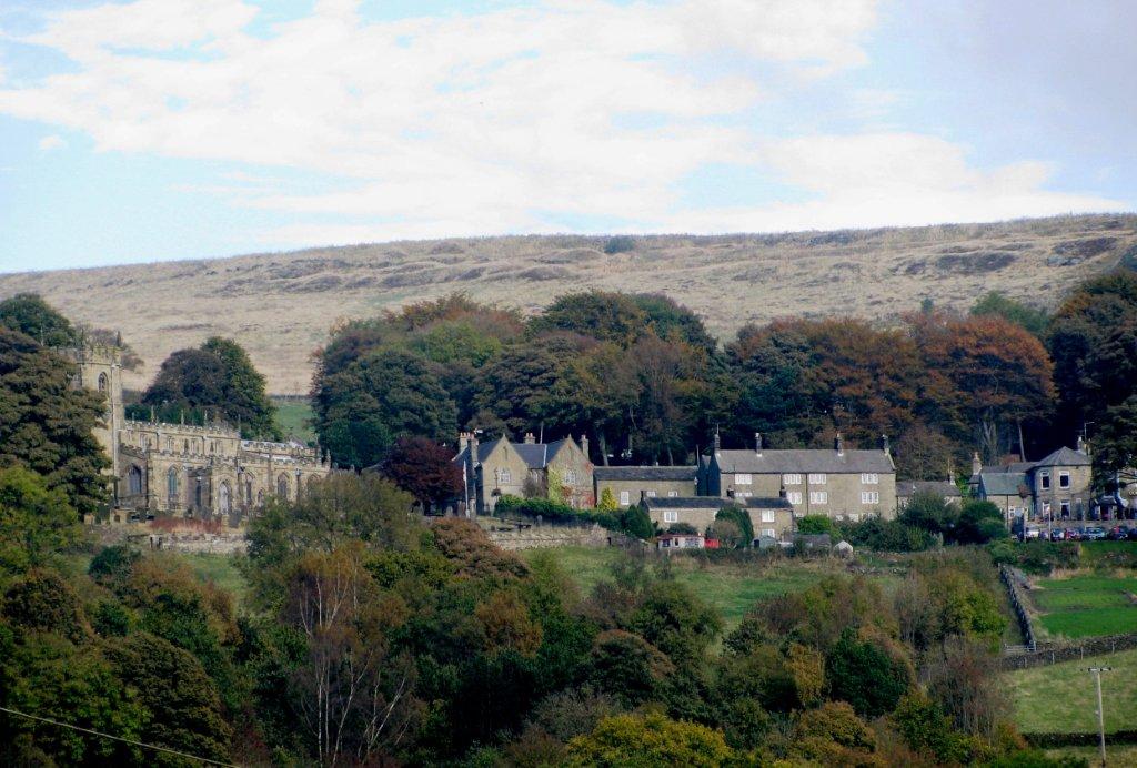 |
| High Bradfield |
 |
| |
 |
| Rocher Rocks |
homepage - Day
Walks Index 2012 - contact me at
